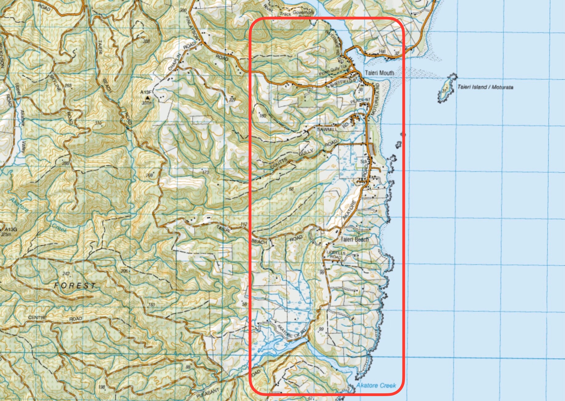
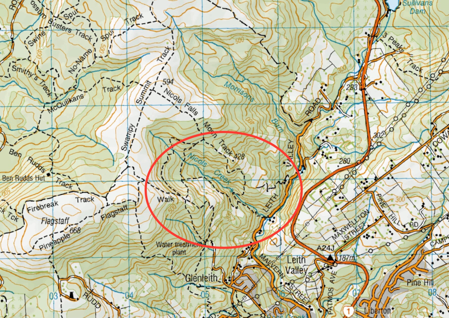
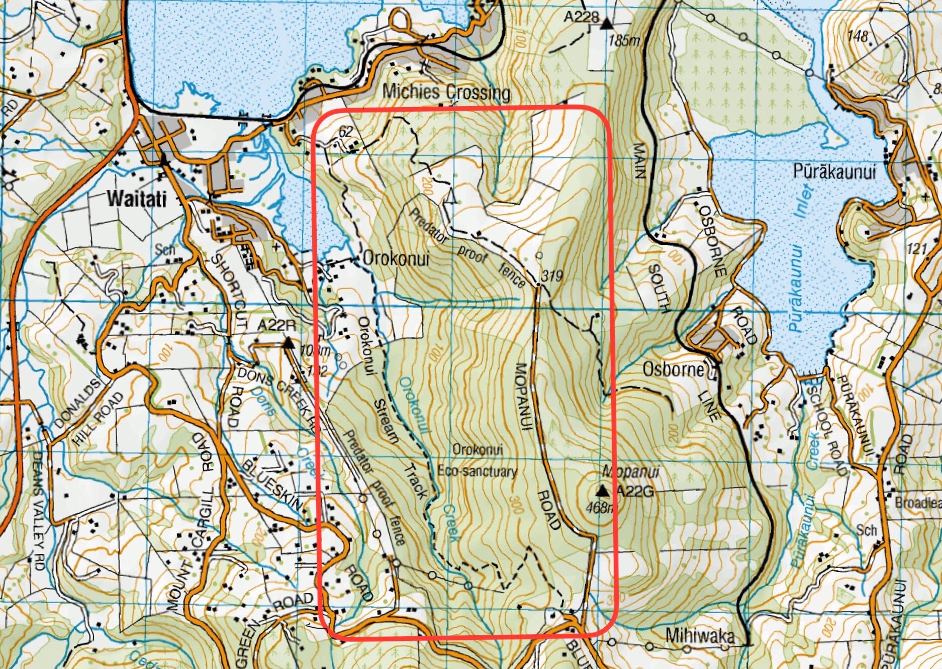
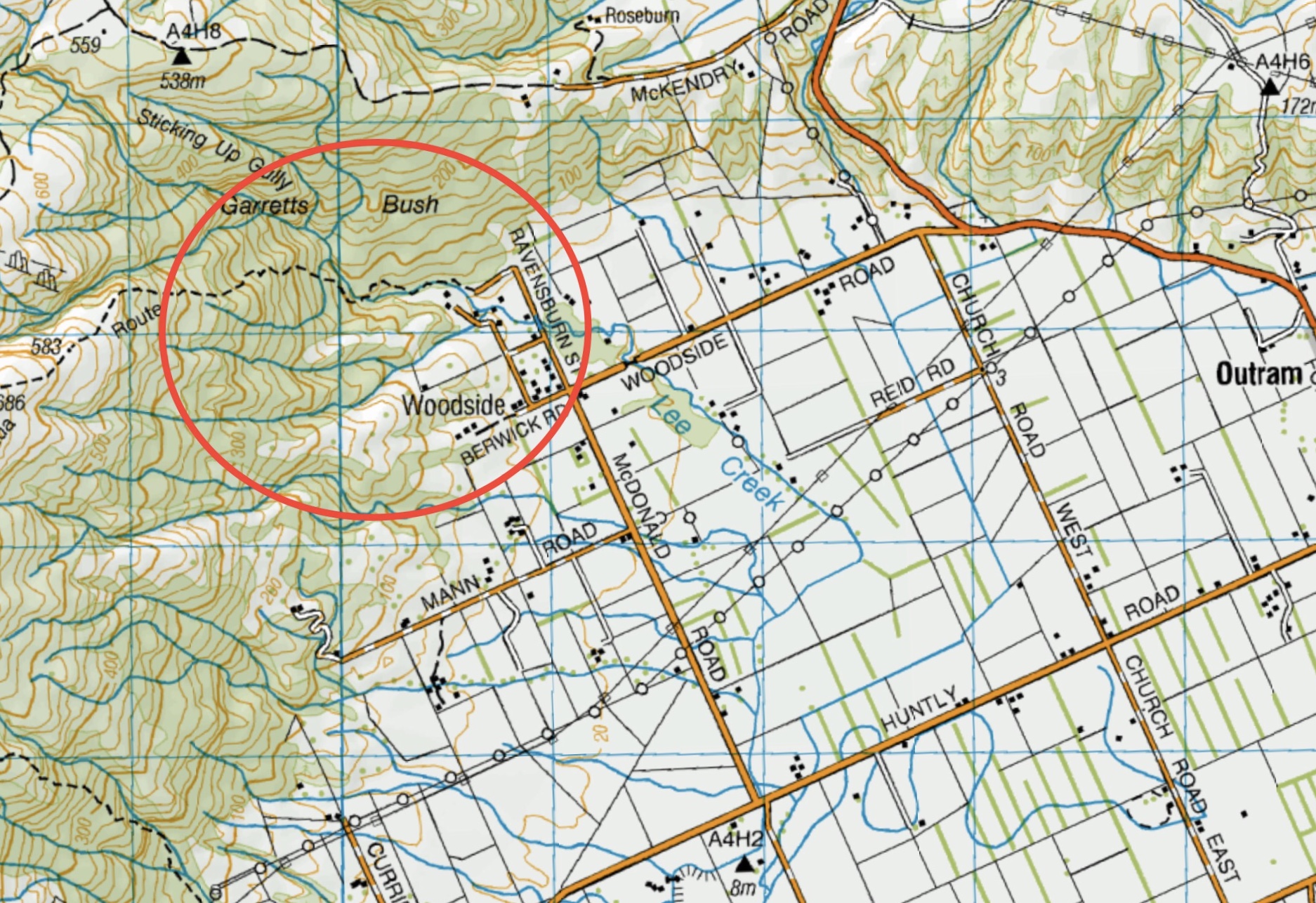
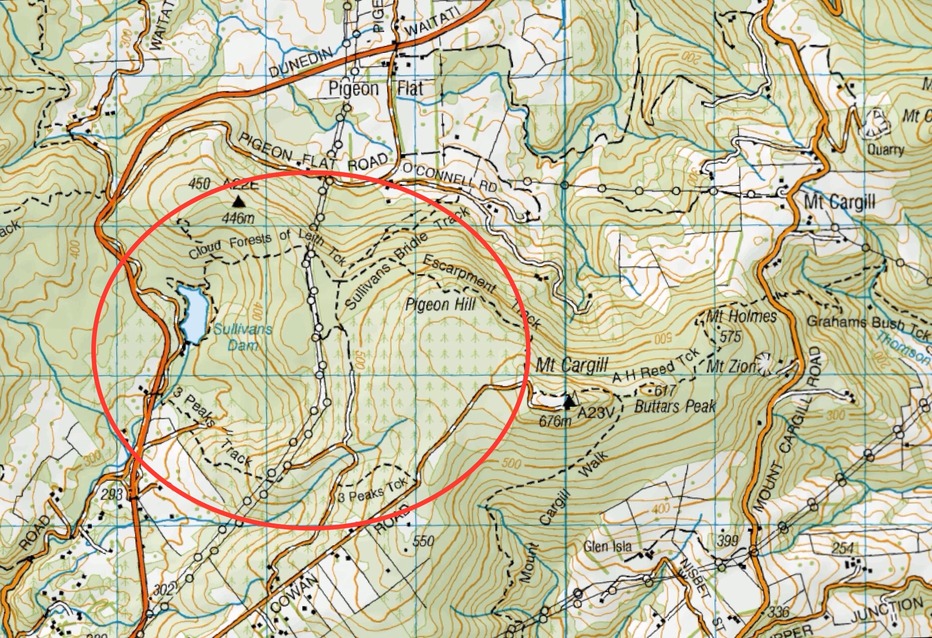
Click on Map to Enlarge
Taieri Recreational Tramping Club
Mid-week recreational and social walking group based in Mosgiel NZ

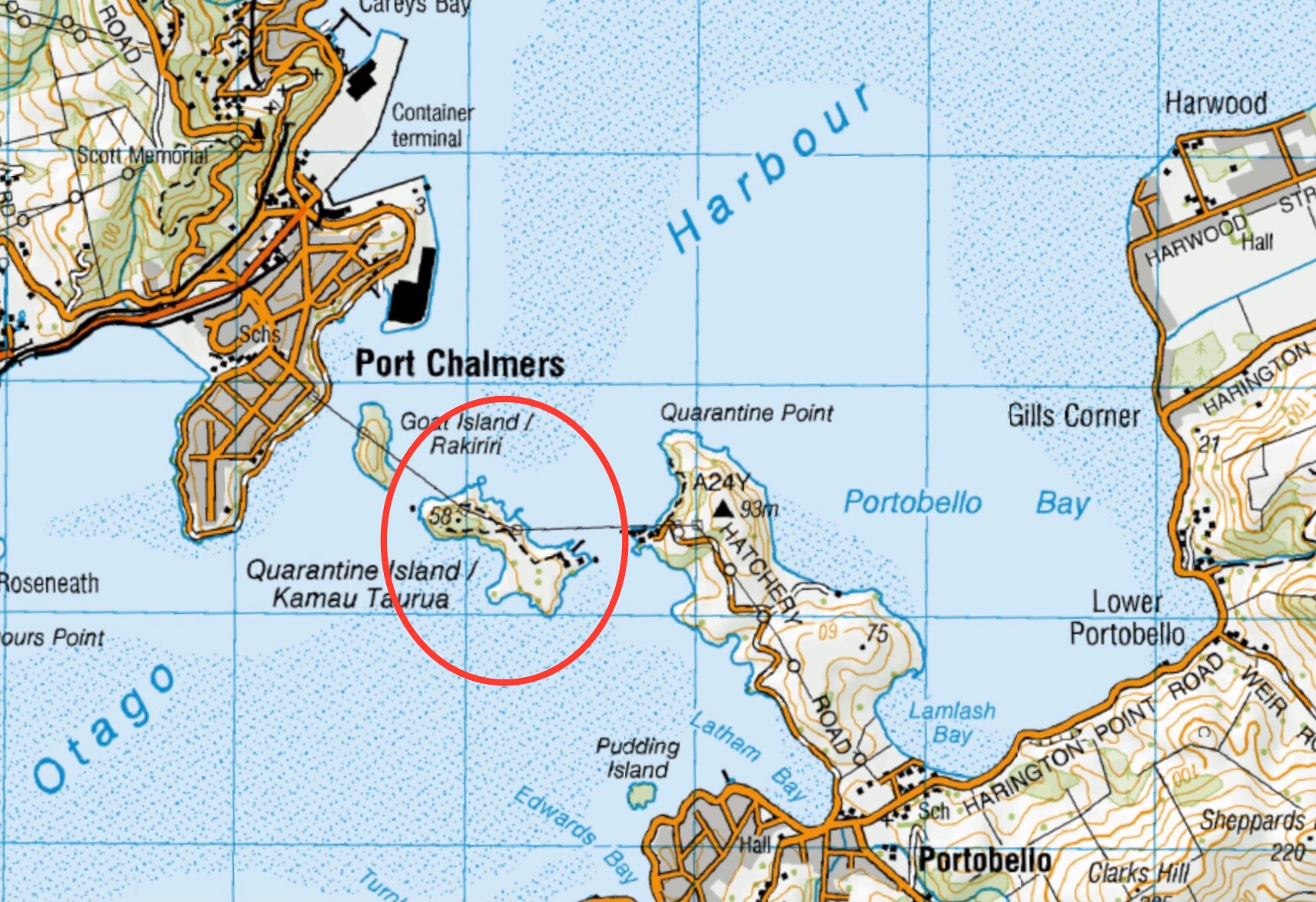
Click on Map to Enlarge
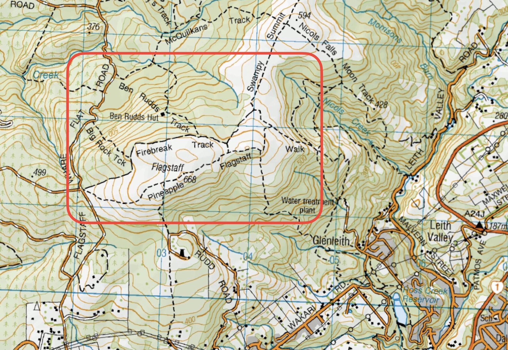
Click on map to enlarge
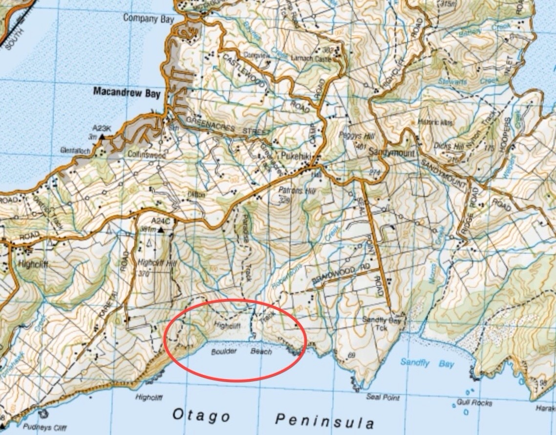
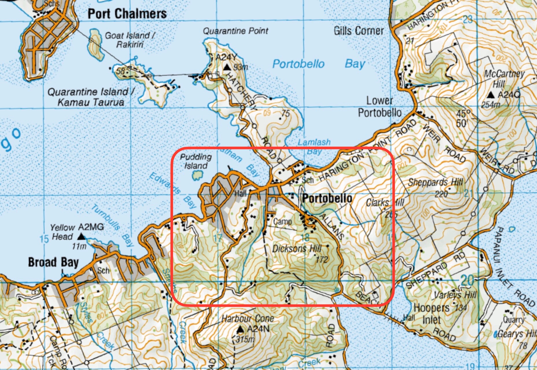
This page of club tramps and hikes on the Otago Peninsula groups together trips to Boulder Beach from Macandrew Bay (Greenacres St), Braidwood Road. These trips will often include the Paradise, Highcliff Tracks.
Background Information:
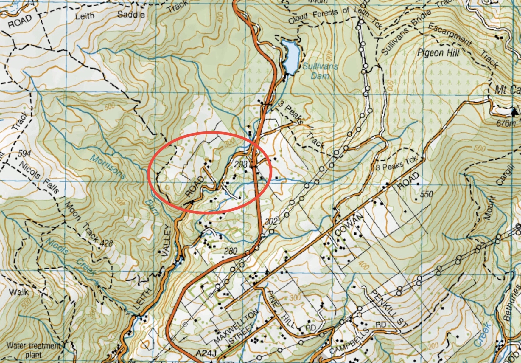
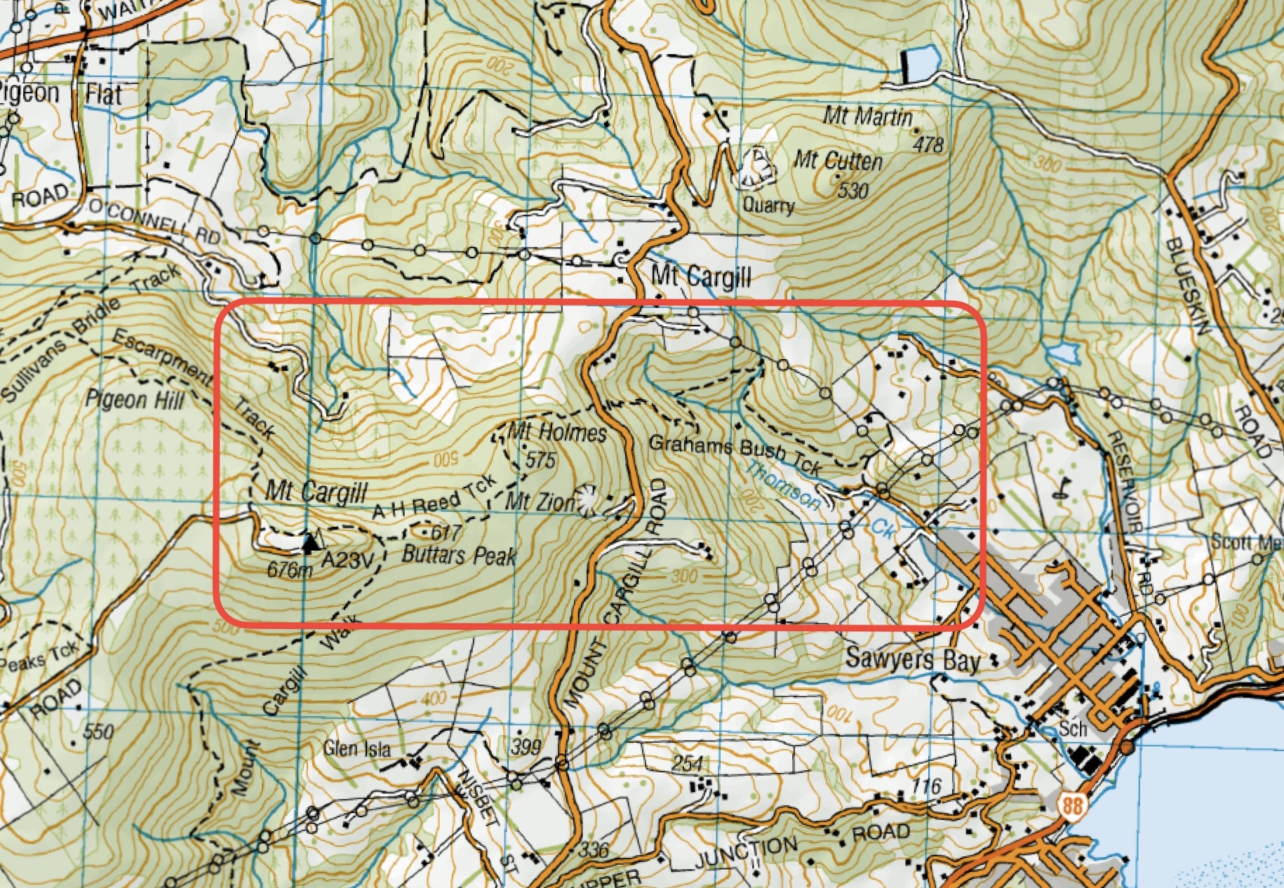
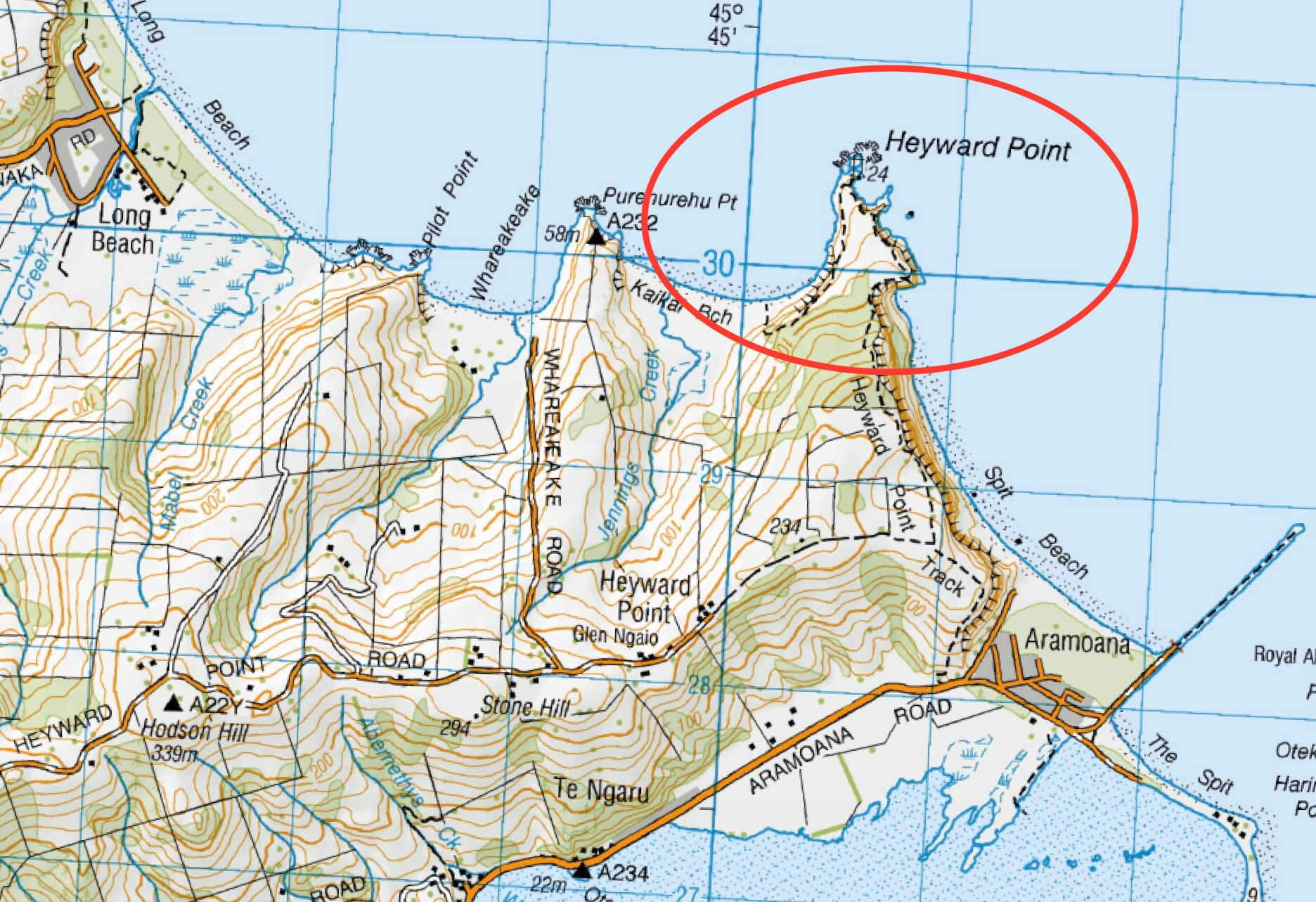
Road distances from Mosgiel carpark.
(1) From Macandrew Bay proceed up Greenacres St / Track which exits onto Highcliff Road. Turn right onto Highcliff Road and proceed to the start of Paradise Track. This track will take you to Boulder Beach.
(2) Proceed along Highcliff Road and turn left (past Pukehiki) onto Seal Point Road. Follow this road and turn right onto Braidwood Road. At the end of this road is Highcliff Track. Follow this track through the dunes to the junction with Paradise Track then right to Boulder Beach.
Boulder Beach (2024 – 1991) 18 trips – 6 with reports and photos, 2 with photos only, 11 with no reports or photos.
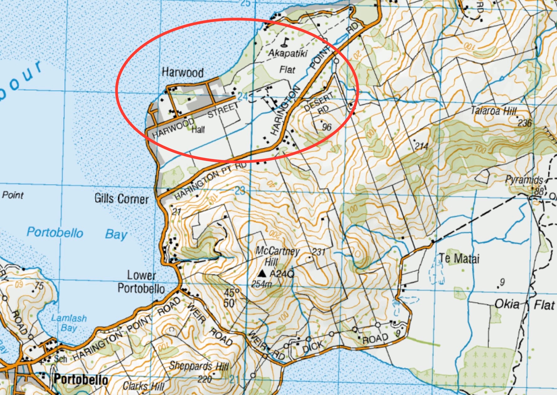
Click on map to enlarge
Click on map to enlarge
Click on map to enlarge
Click on map to enlarge
Click on map to enlarge
Click on map to enlarge
Click on map to enlarge
Click on map to enlarge
Click on map to enlarge
Click on map to enlarge
Click to enlarge map
Click on map to enlarge
