 20/11/2024. Orokonui / Wrights Road. Grade 3. Hikers. Leaders: Jay Devlin and Pam Clough.
On 20/11/24 21 hikers gathered at the Orokonui Sanctuary carpark.
Taieri Recreational Tramping Club
Mid-week recreational and social walking group based in Mosgiel NZ

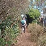
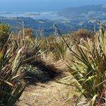
20/11/2024. Orokonui / Wrights Road. Grade 3. Hikers. Leaders: Jay Devlin and Pam Clough.
On 20/11/24 21 hikers gathered at the Orokonui Sanctuary carpark.
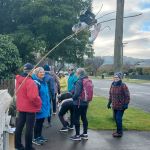
 18/11/2024 Track Clearing. Leader: Phil Keene
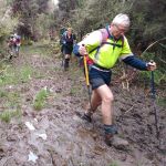
The 2024/25 track clearing got off to a great start on 18 November with 8 highly skilled workers turning up for a work out
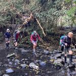
 30/10/2024. Greengage Track. Grade 5. Trampers. Leaders: Graeme Souter and Graham Thurlow.
Bah humbug how hard can this grade 5 tramp be? Heh heh they were about to find out as those who did the recce already knew what to expect.
 30/10/2024. 3 Kings from Heenan Road. Grade 3 Hikers. Leaders Dave Roberts Neville Griffiths.
On a chilly calm Morning 18 hikers set off from Mosgiel at 9am to pick up one hiker at Outram
 25/09/2024. Wakari / Kaikorai Loop. Grade 1.5. Hikers Leaders: Jenny Finnerty and Ady Whitson
Eventually 16 of us gathered at the meeting place and walked several metres along Wakari Road to the Bain Reserve
 25/09/2024. Rustlers Ridge, Burns Track. Grade 4 Trampers. Leaders: Phil Morris and Sarah McCormack.
On a sunny Wednesday we headed to the Leith Saddle car park, to tramp the above hike.
 28/08/2024. Ross Creek and Davies Track. Grade 4. Trampers. Leaders: Ross Davies and Sarah McCormack.
There was a throng of people in Malvern Street in Woodhaugh by the time the leader arrived. It was a sunny and calm morning, and the throng numbered exactly 27 keen people. Interestingly, as the day wore on, the number diminished, but always exactly
Continue reading “Ross Creek and Davies Track”
 28/08/2024. Botanic Garden, Chingford Park Grade 3. Hikers. Leaders :Dave Roberts, Vivienne Manning
On a brilliant sunny Dunedin Morning 19 hikers met at the Dunedin Botanic Garden top carpark.
 31/07/2024 Mosgiel Ramble. Grade 2. Hikers. Leaders: Ady Whiston, Jenny Finnerty
With the weather the way it was Jenny decided for a walk around Mosgiel (good decision).
Continue reading “Mosgiel Ramble”
Click on Map to Enlarge
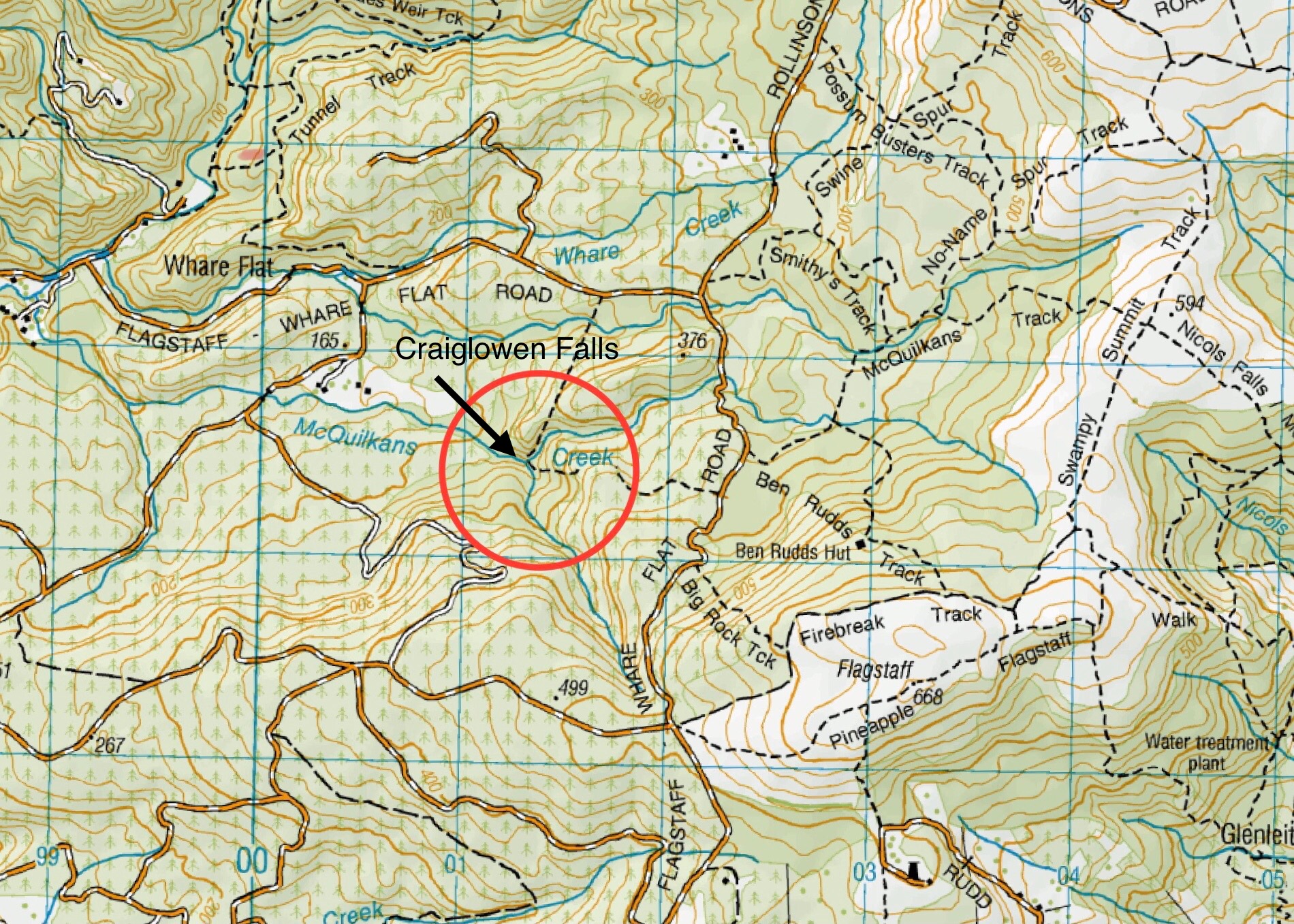
Click on Map to Enlarge
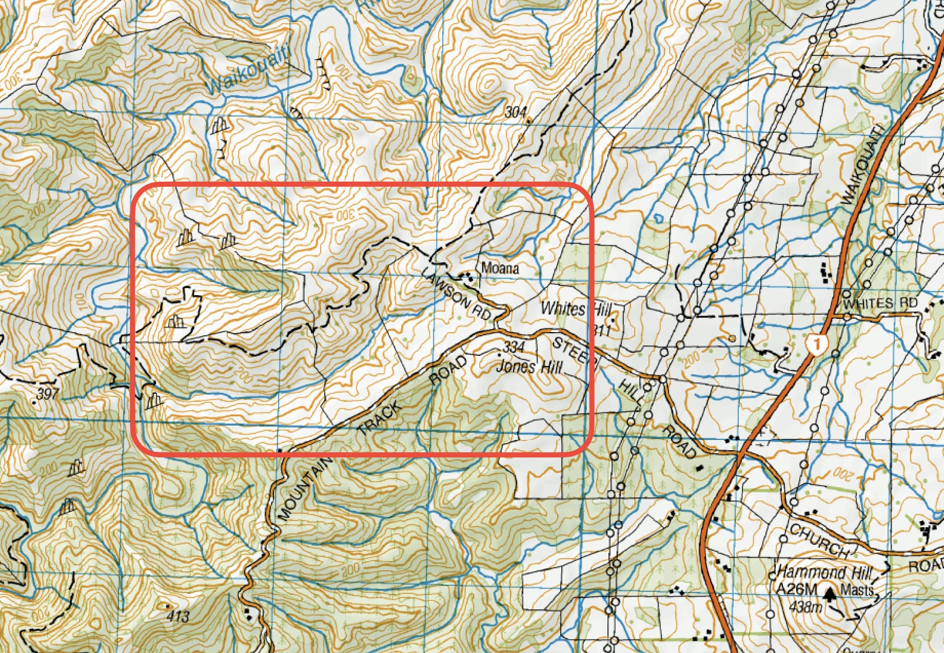
Click on Map to Enlarge
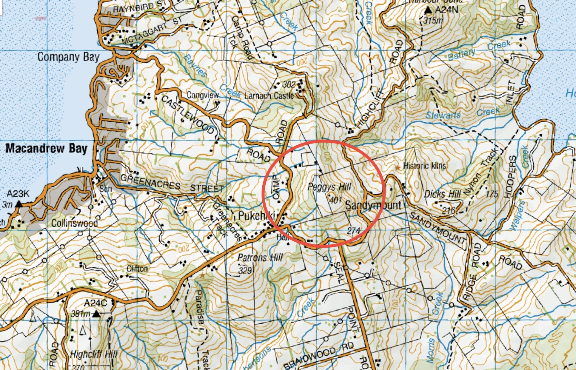
This page of club tramps and hikes on the Otago Peninsula groups together trips to Peggy’s Hill (map) commencing from Macandrew Bay (Greenacres St).
Background Information:
Road distances from Mosgiel carpark.
TRTC Grading Information – trips to Peggy’s Hill are generally given a TRTC grading of 3. This is indicative only, as depending on the route taken, allocation of gradings can differ from this. For more detailed analysis refer to Grading Information.
Access Permissions are required as this trip ventures over a working farm – refer guidelines
List new posts (as per format on each post ie: dd/mm/yyyy, name of trip, grade and leaders)
List and link previous trips relating to this page here (delete when complete)
Click on Map to Enlarge
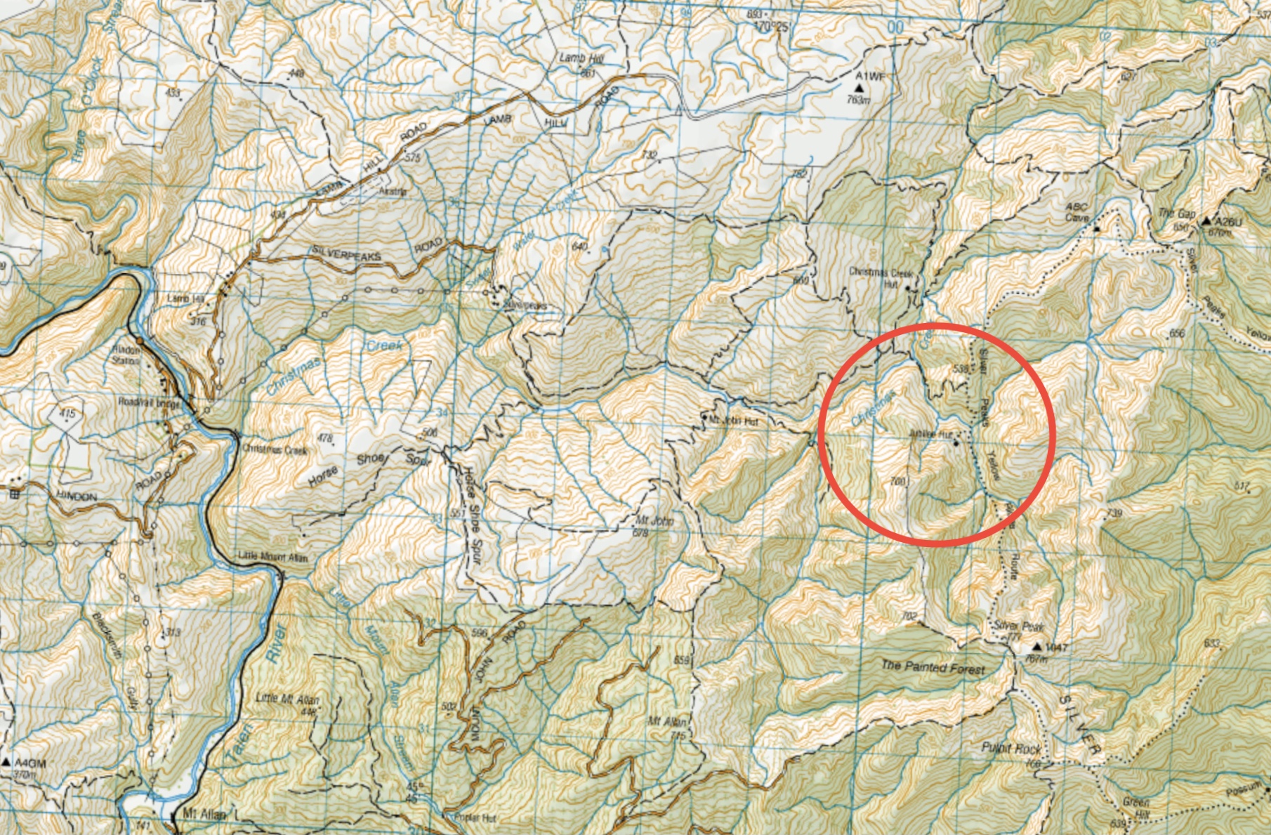
Click on Map to Enlarge