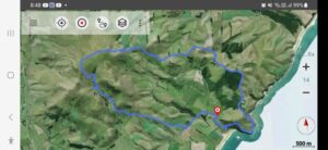
Est. distance from carpark: 45 km.
18. 26/07/2023. Trampers. Lawsons Farm. Grade 3, $11, 45km, Leaders: John Gardiner, Theresa White.
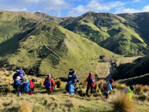
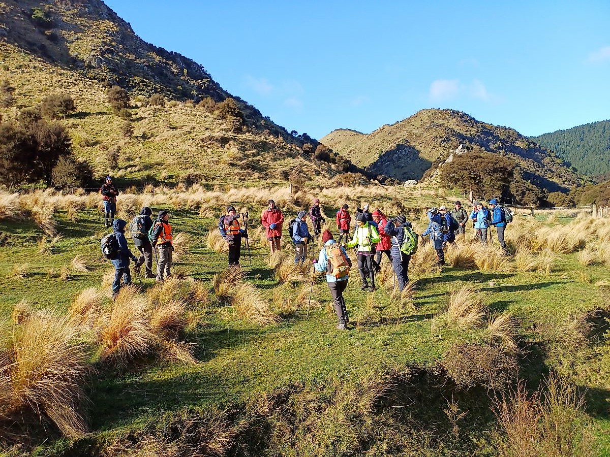
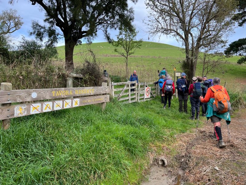
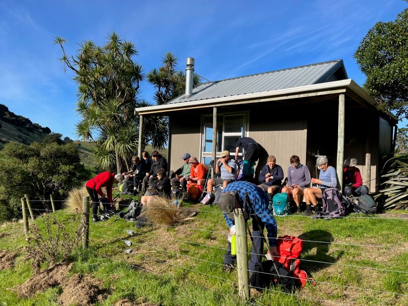
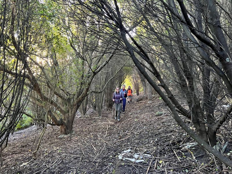
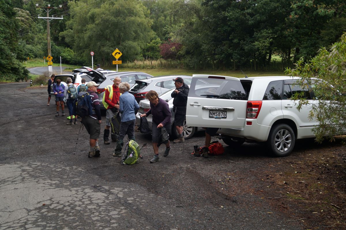
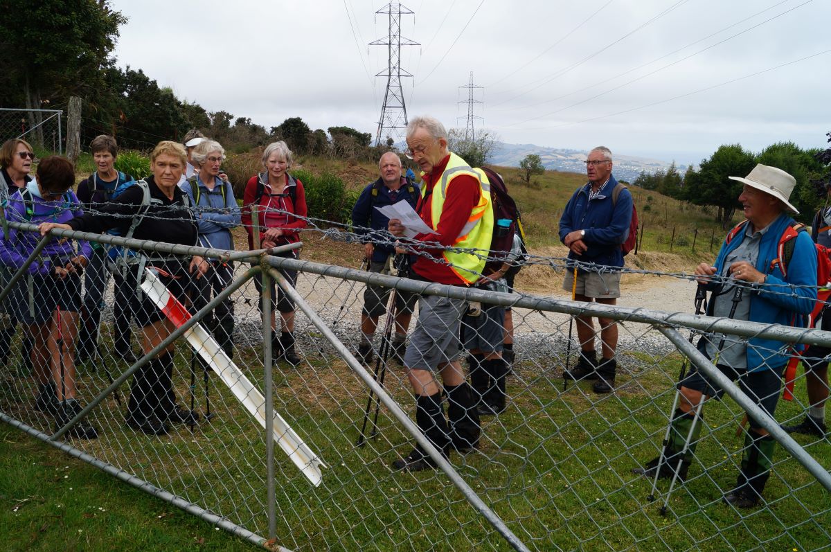
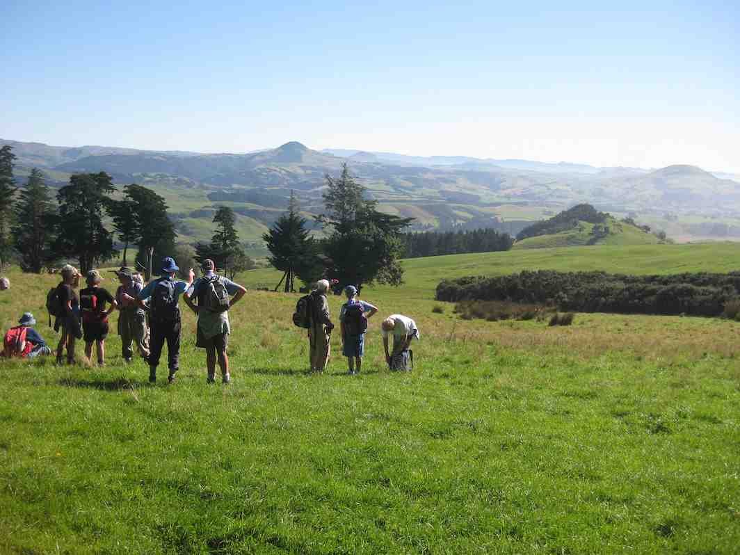
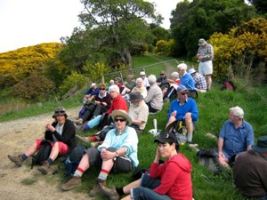
At about 10.10am four cars from Mosgiel, met three cars from Dunedin, at the “On the Spot Dairy”, Waitati, and proceeded to Steep Hill Road, a short distance passed the ‘big dip’at the top of the Kilmog. A few Kilometers or so, on the gravel road, saw us arrive at Moana Farm (Lawson’s Farm.) By 10.25am Twenty four trampers left the cars, with Theresa leading the first part of the tramp, myself being Tail End Charlie.
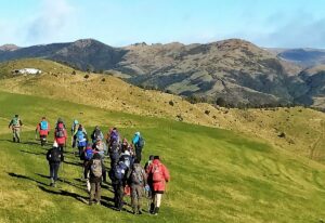
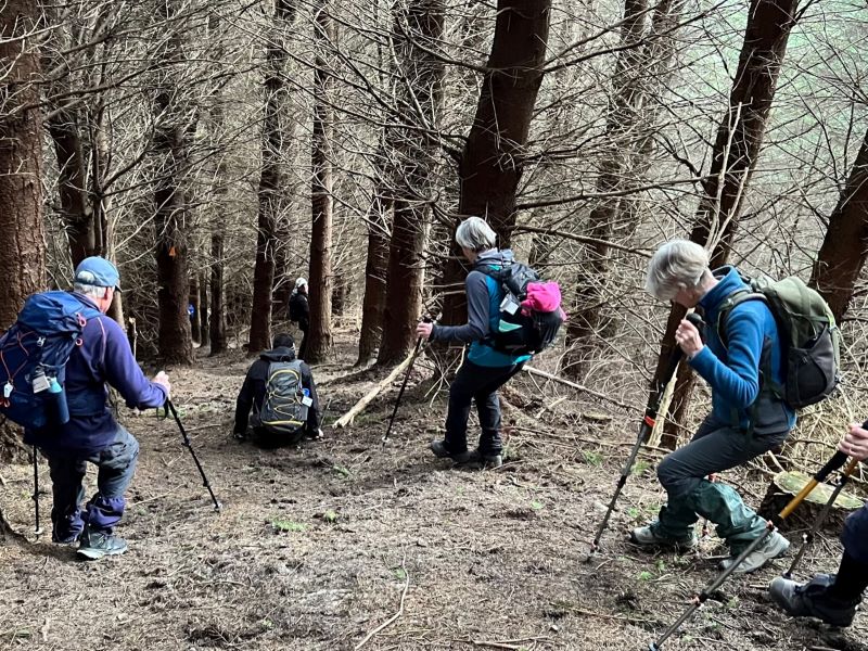
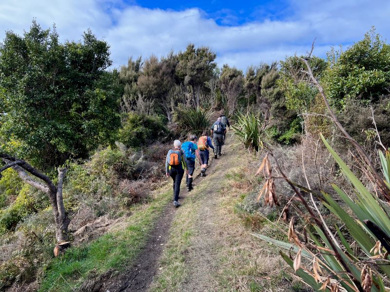
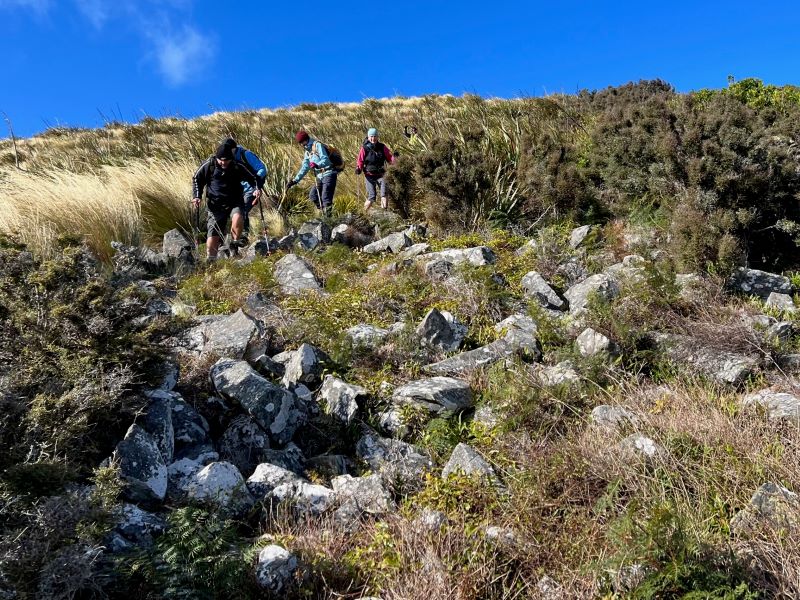
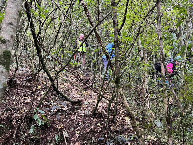
And off they go – Photo & Caption Phil Keene
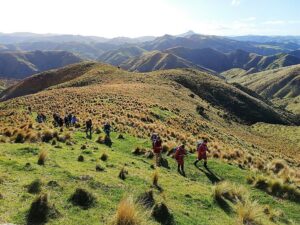
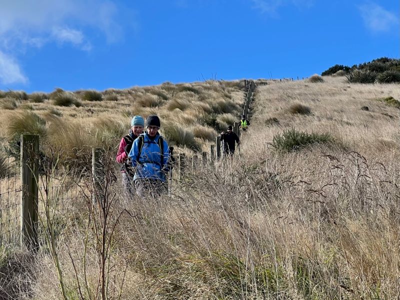
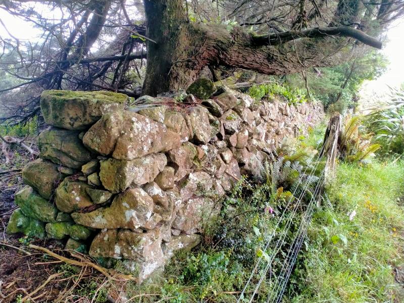
The previous night had been a cold, stormy one, and the cold South Westerly wind, certainly made it’s presence felt as we walked further along Steep Hill Road, through a farm gate, and along the fence line parallel to the road, until coming to the next downhill fence, which we followed until turning left at the gate, bottom of the paddock.
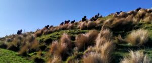
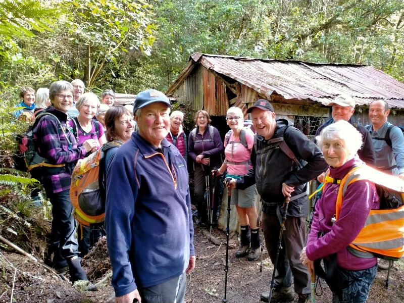
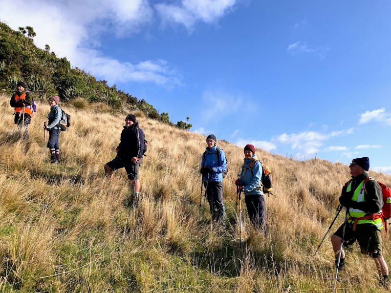
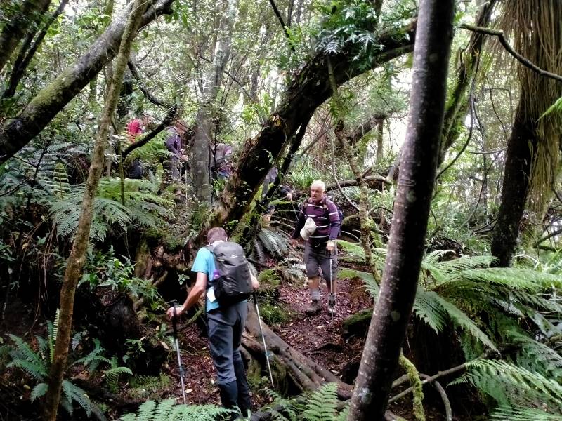
A strung out mob – Photo & Caption Phil Keene
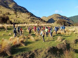
(Please bear with me on the previous bit, that seems like information overload, but is critical knowledge for anyone planning the tramp in future.) From here the tramp goes in a roughly circular, clockwise direction, up hill and down dale , following farm tracks.
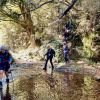
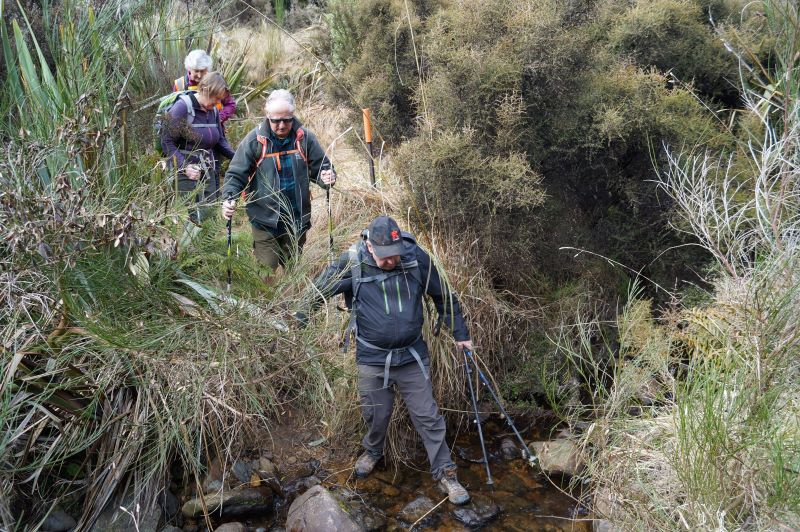
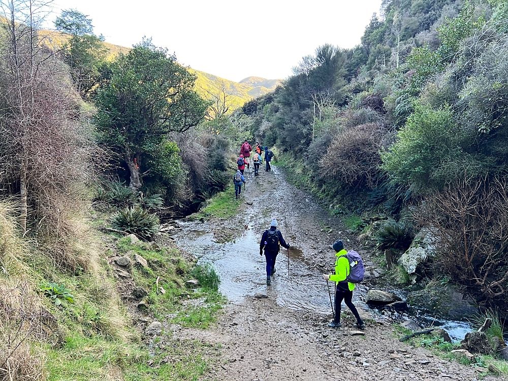
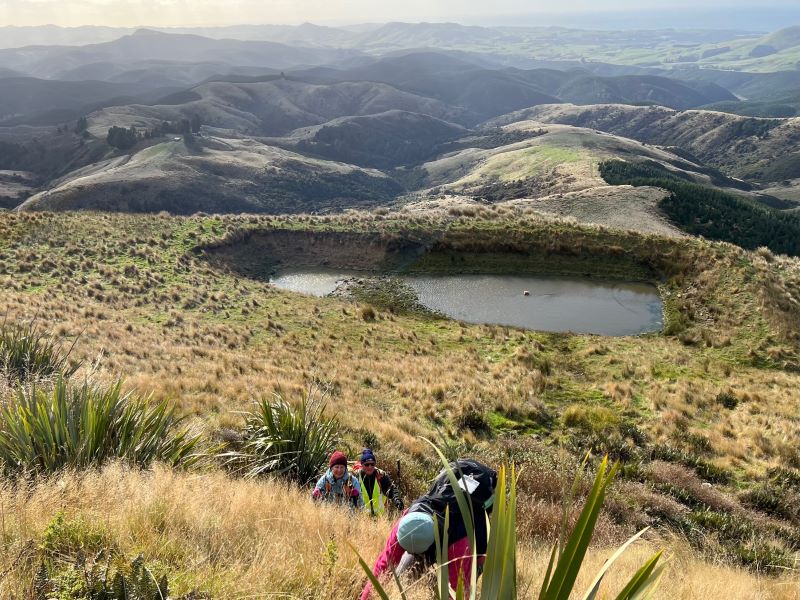
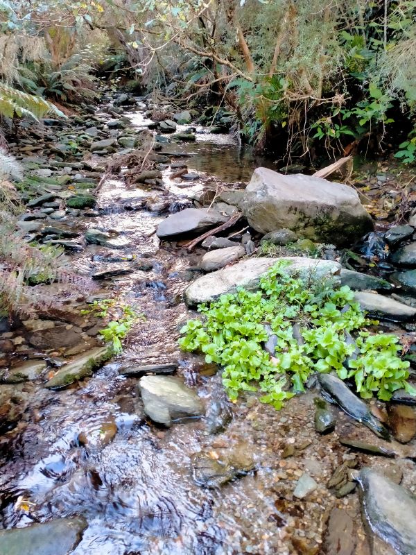
The lowest point of the tramp was soon reached, where most kept reasonably dry feet, crossing Mary’s Creek.

Crossing Mary’s Creek – Photo & Caption Pam
This creek has an intriguing little story (tall tale or true?) as to how it got it’s popular nickname, which I explained soon after the crossing. It seems Mary was a gold miner’s wife who regularly bathed in the creek.
Listening to John’s story about Mary – Photo Graham
John and Neil looking for Mary!!! – Photo & Caption Pam
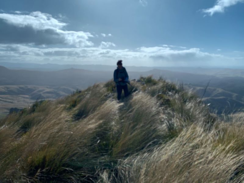
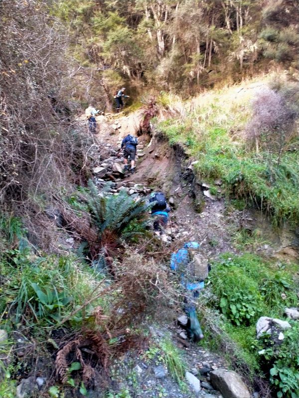
After this bit of local cultural enlightenment, we seemed to do more uphill than downhill, until
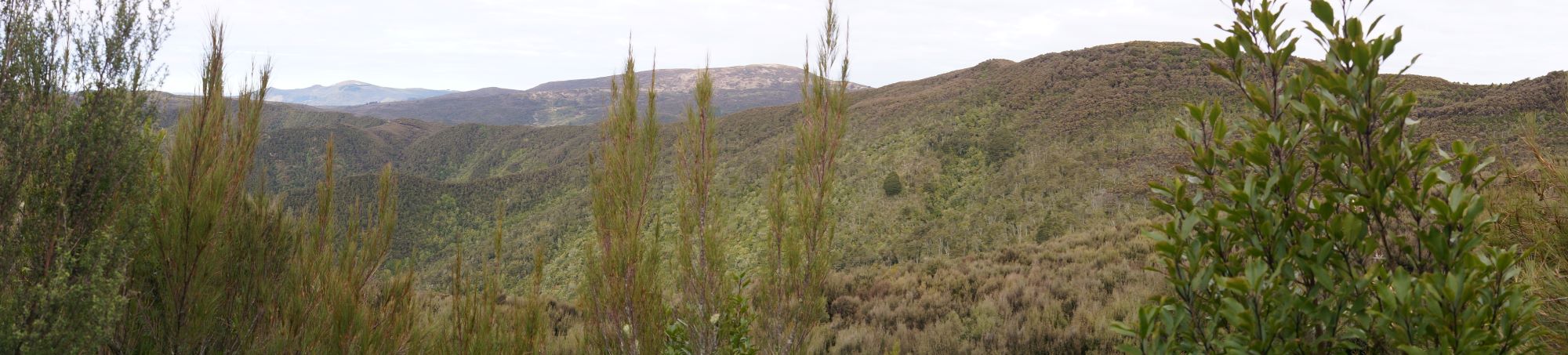
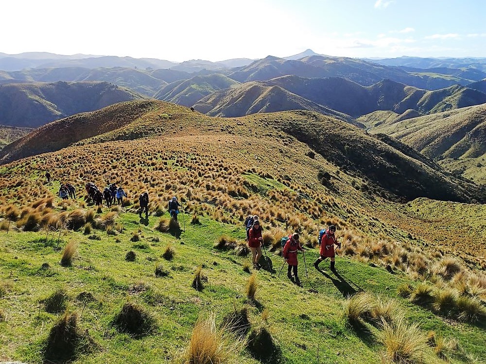
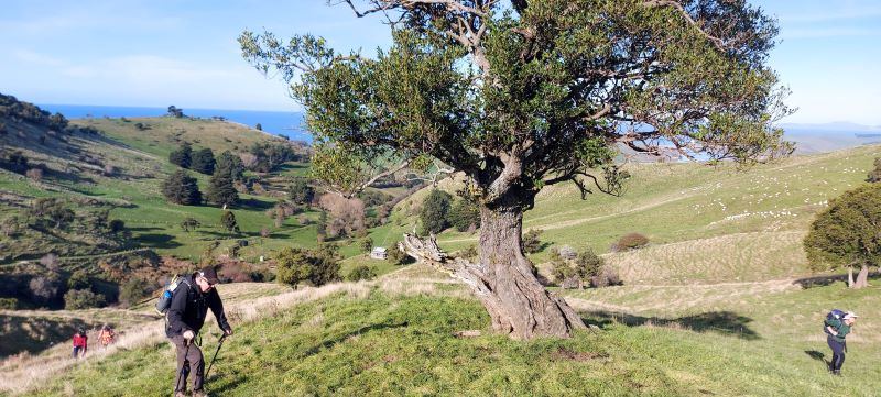
Admiring the Striking landscape above Mary’s Creek – Photo & Caption Pam
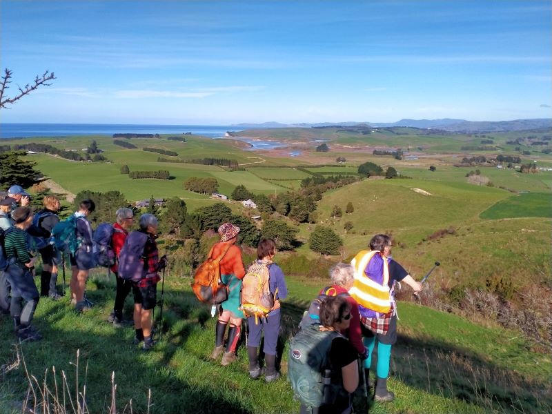
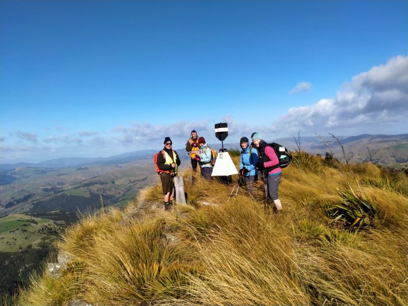
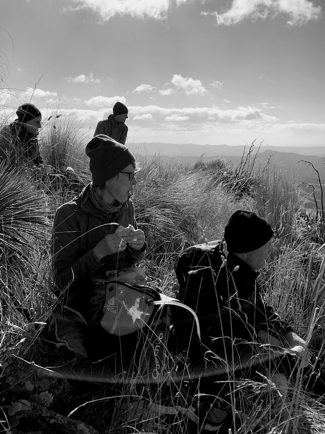
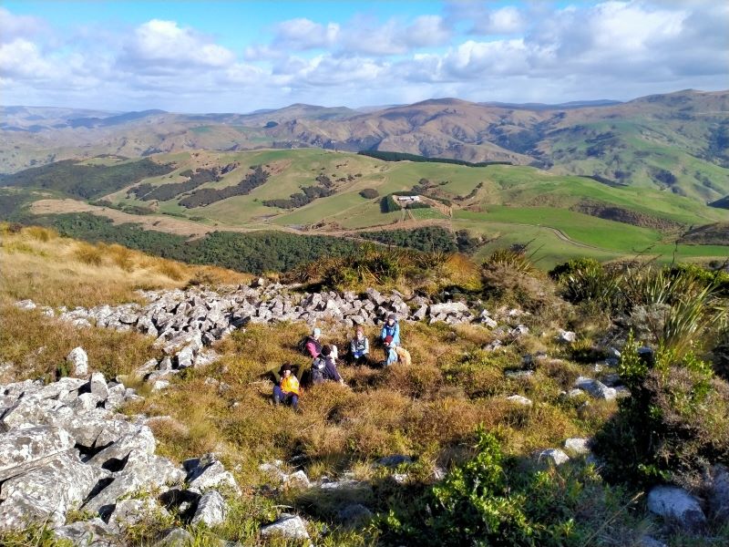
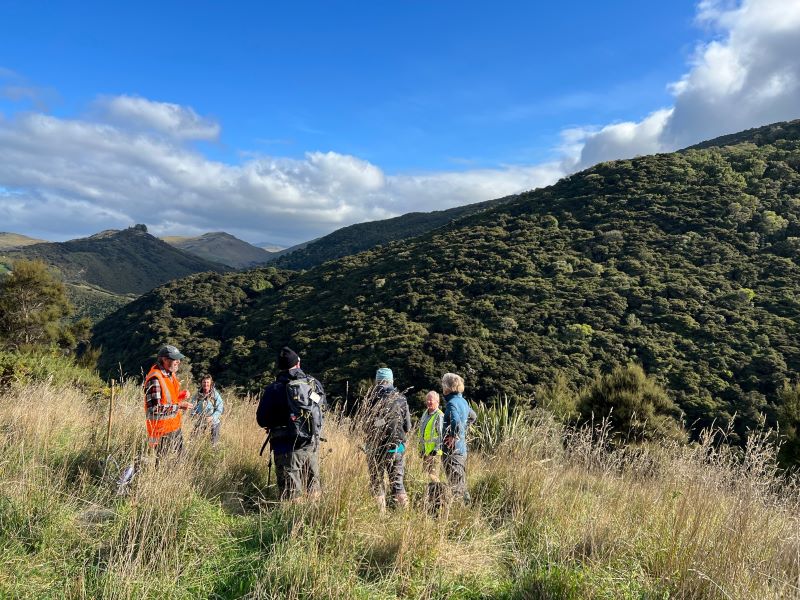
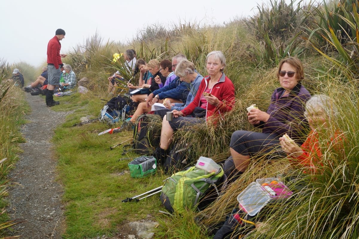
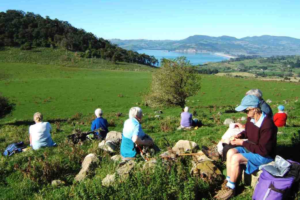
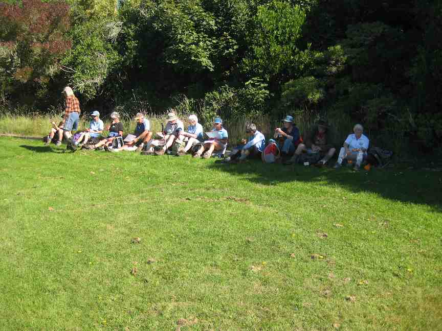
Theresa stopped us for morning tea in a sheltered spot, out of the wind, amongst the tussocks, at 10.50am. By 11.05am we were on our way again, following the farm track, and admiring views of the valley below; farmland with native plantings in the gullies, and farm tacks, mostly following fence lines, seemingly going in all directions, zig-zagging around the property. At 12.30pm we stopped for lunch at the same spot Theresa, Sarah, Phil and I stopped on our Recce. Here sheltered from the wind, most found a ‘comfortable perch’ on rocks, logs, or the bank. to enjoy lunch.
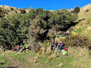
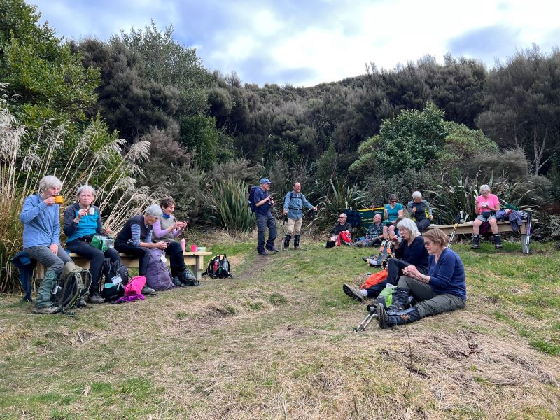
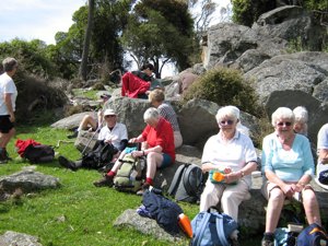
Great lunch spot out of the wind – Photo & Caption Pam
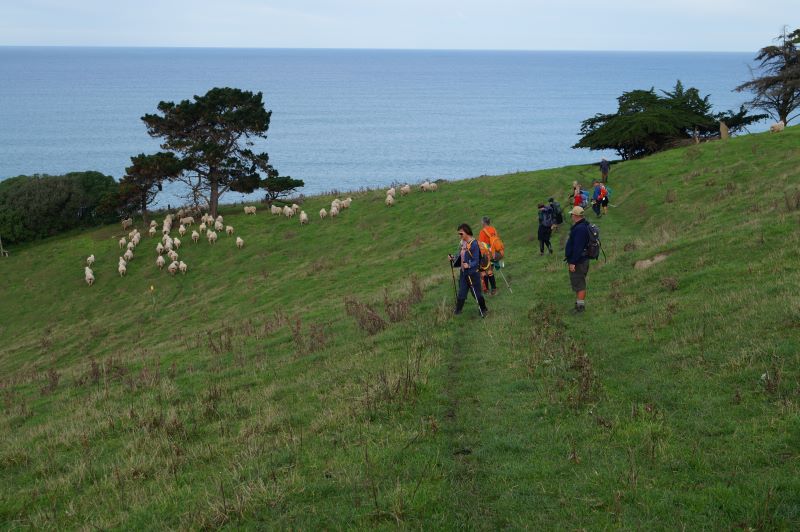
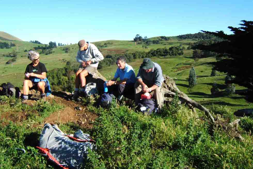
A visit by the farmer, with his beautiful Huntaway perched on the back of his quad-bike followed, just before we started off again at 1.00pm.
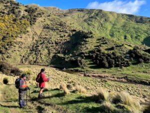
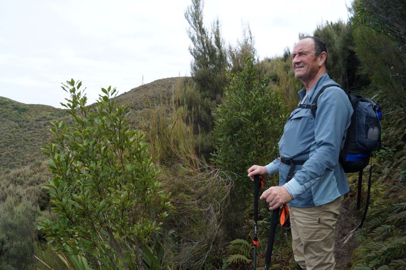
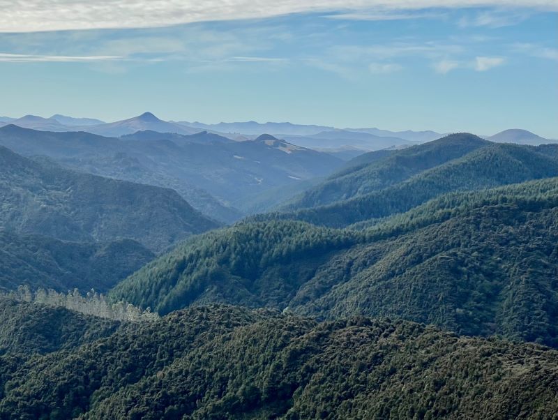
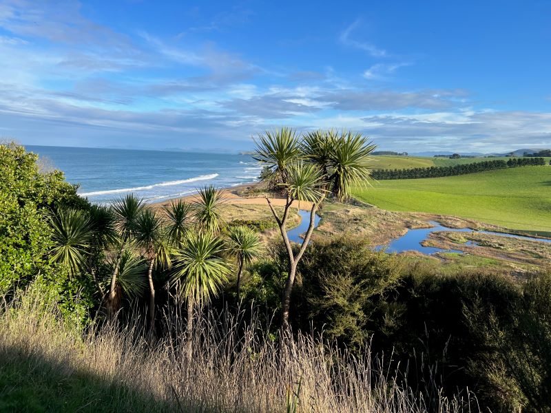
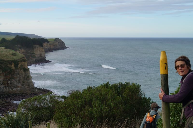
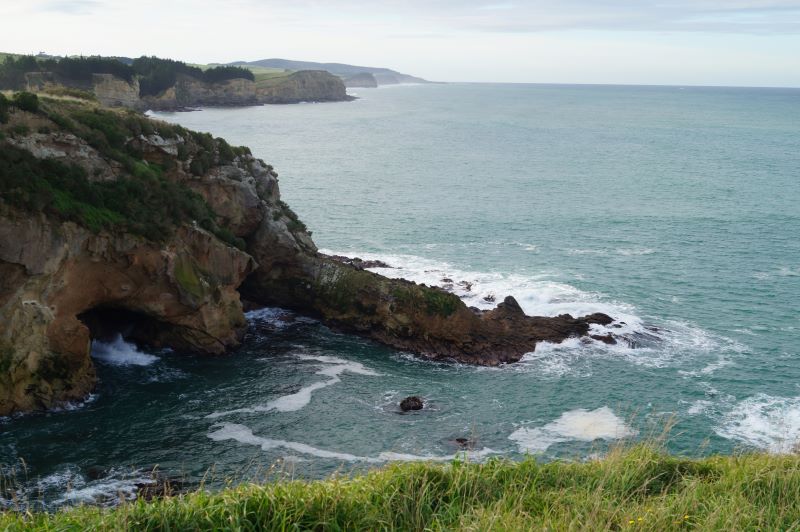
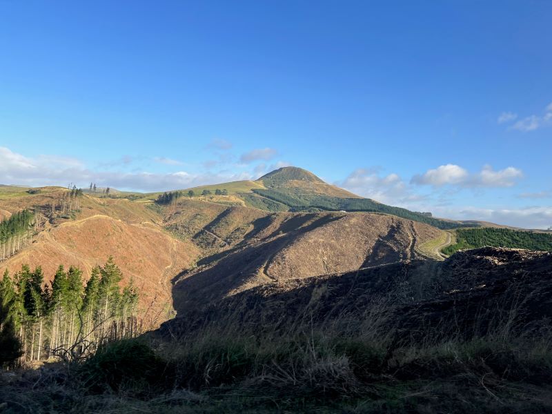
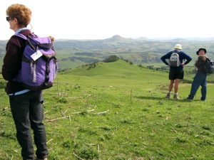
Stunning views towards the coast – Photo Graham
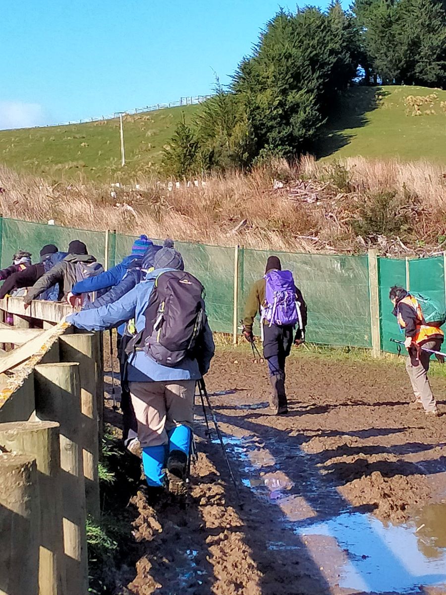
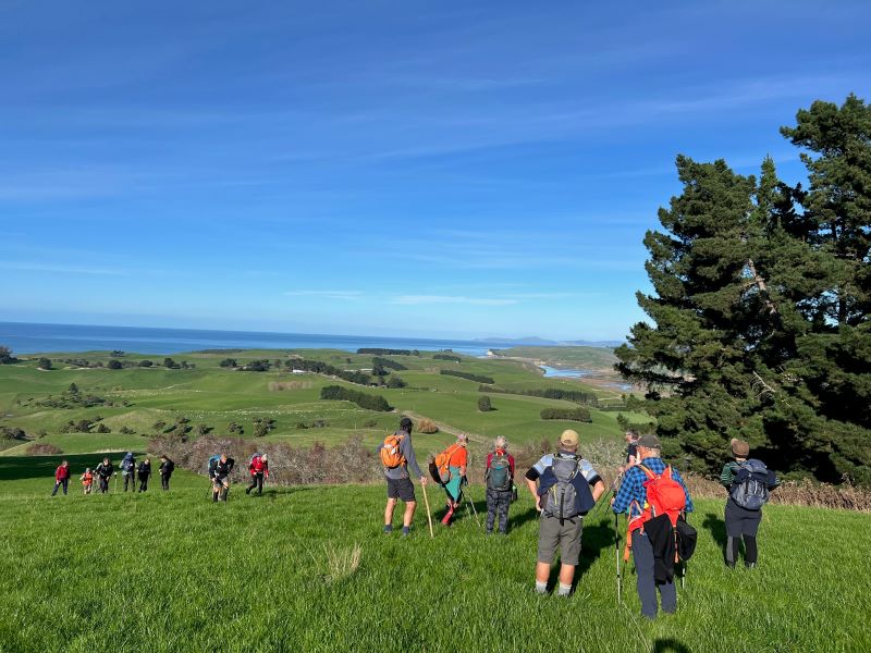
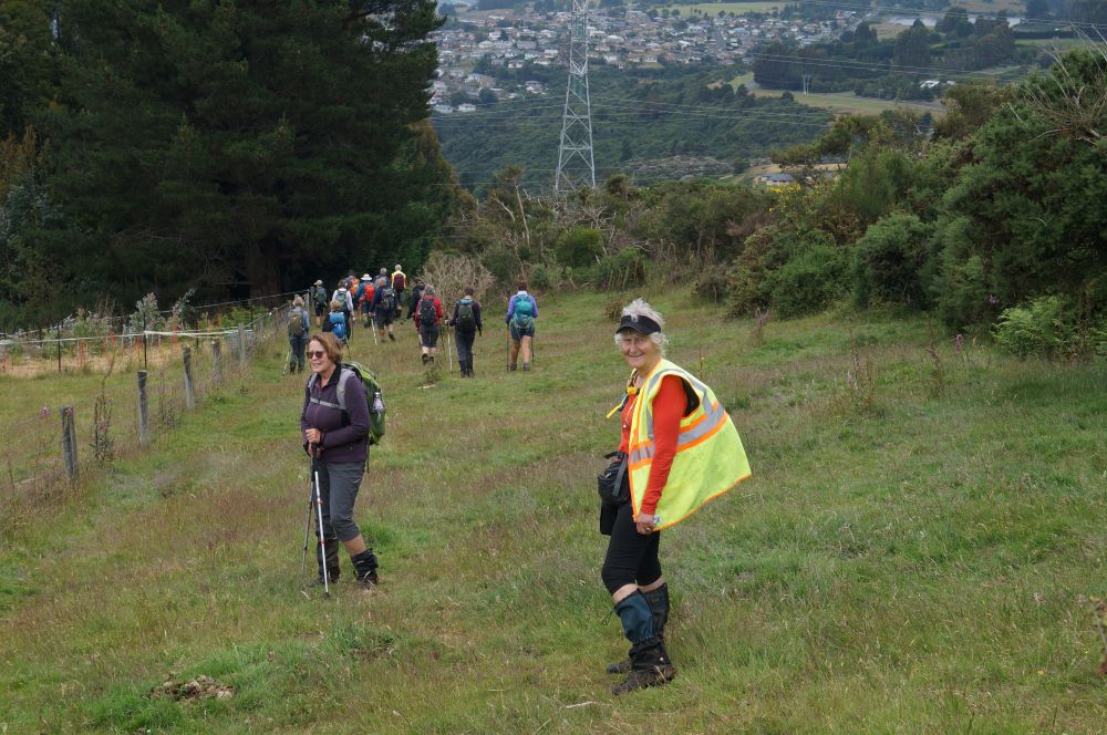
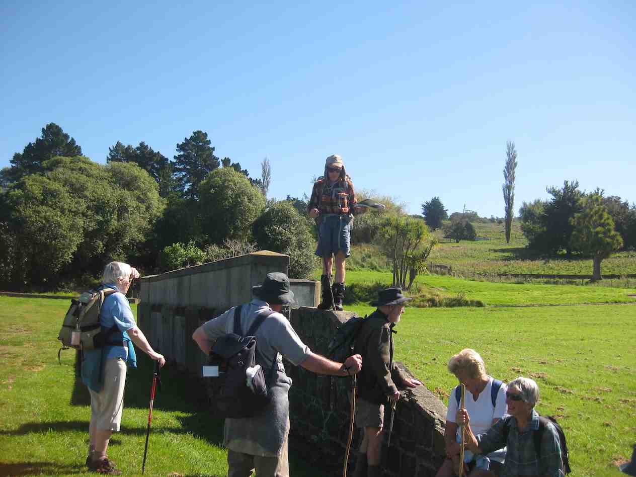
I then led the second part of the tramp, back to the cars. Shortly afterwards the forecast wind change took place. The South Westerly wind, changing around to a “Nor Wester.” Just as cold, just as strong, and just as much in our faces! Some respite was found in the sheltered areas of the track as it wound it’s way around hillsides, up and down gullies, and ridges. By 1.45pm we were back at the cars after negotiating the cattle yards. (Thick squelchy mud!)

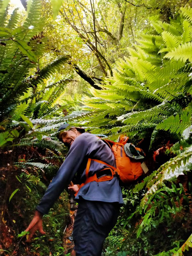
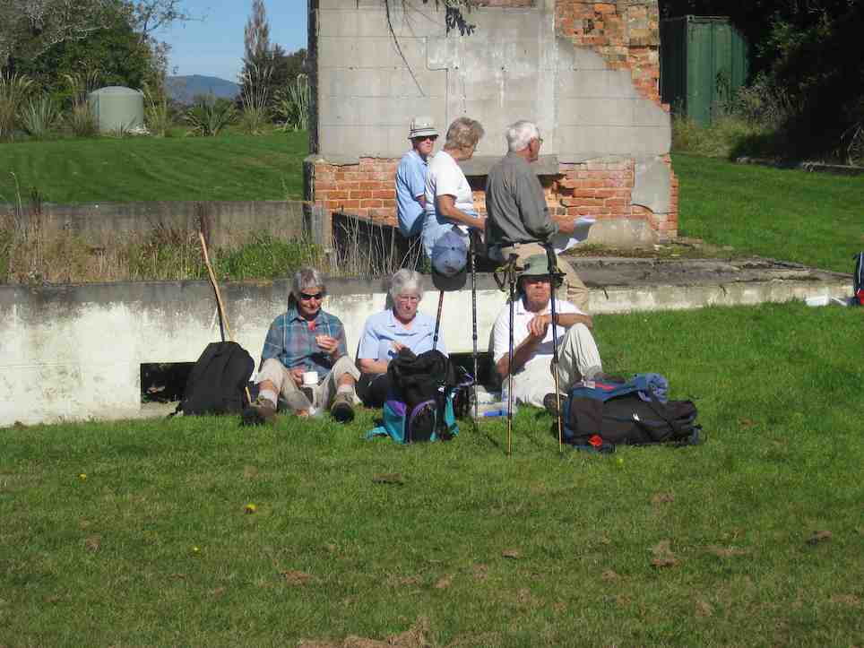
A great way to finish – Photo & Caption Phil Keene
Afternoon coffee was enjoyed at Blueskin Nursery Cafe’.
In all we had covered 8.56km, altitude 240metres, a Grade 3 Tramp.
Thank-yous are due to :-
Farmer Willie Lawson, for so generously allowing us access to enjoy his property
Theresa White, for keeping me on my toes, and acting as Leader and Tail End Charlie.
Phil Keene and Sarah McCormack for help with our Recce.
Neil Simpson who has lead the tramp before, and was a mine of information on my initial contact with him.
John Gardiner.
Continue Reading »
 Sometimes my grandmother would say something to me, and I’d ask,
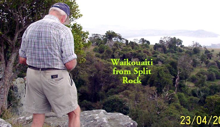
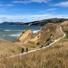 15. 06/03/2024. Combined. Waikouaiti
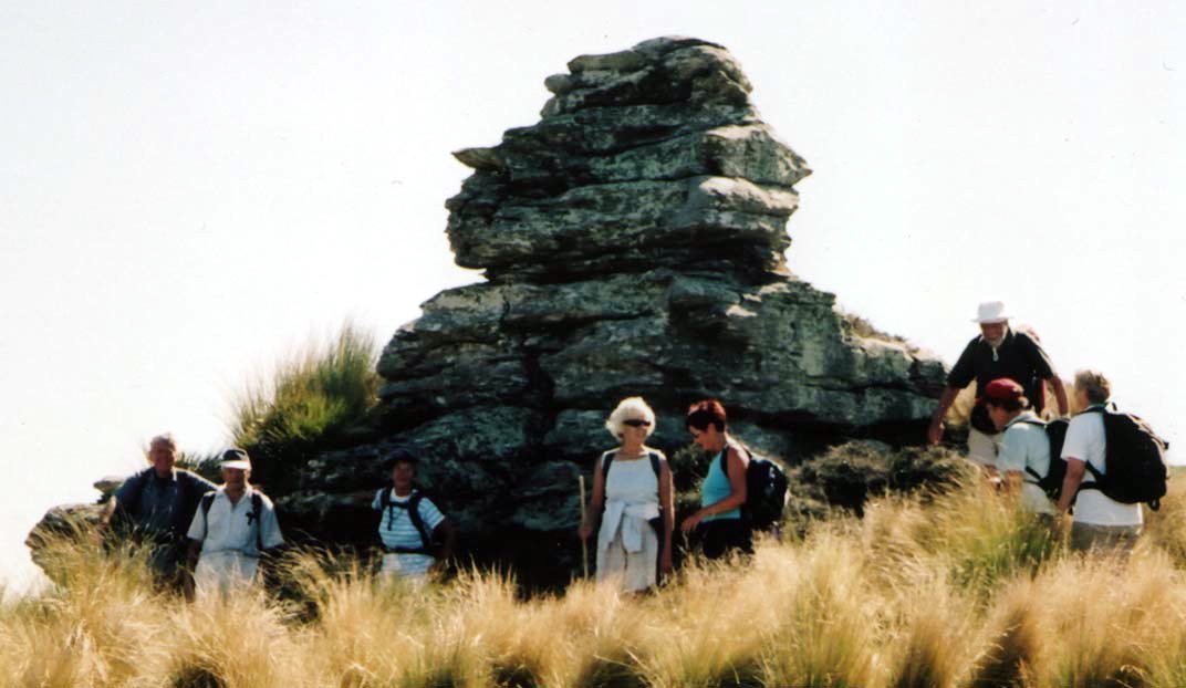
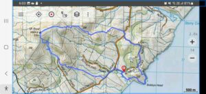
 9. 17 April 2024. Trampers Rosella Ridge. Grade 5.5 Leaders: Ross and Neil
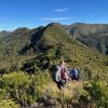
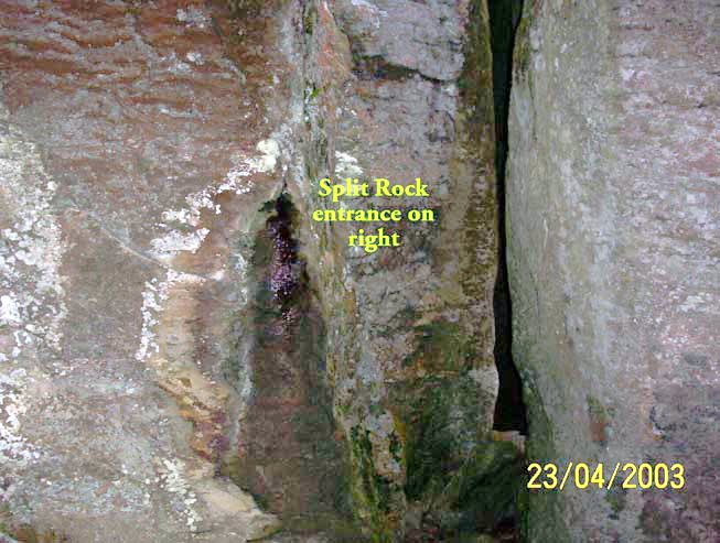
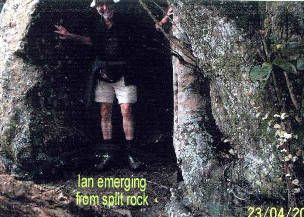
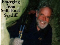
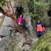 I’ve always regarded myself as, and indeed endeavoured to be, an optimist. But on Tuesday night, I had serious doubts that Wednesday’s tramp would proceed. That night seemed to leave little room for optimism. A Wednesday morning early dog walk gave a glimmer of hope, that the weather, although unpredictable, might be improving. Seventeen ‘optimistic’ trampers took part on the Split Rock tramp.
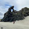 Hikers: Leaders Heather and Val Cayford
 13. 06/12/2023. Hikers. Sutton Salt Lake – Glencreag Track. Grade 2.5. $16. 60km. Leaders: Wendy Langley/Katrina McKenzie
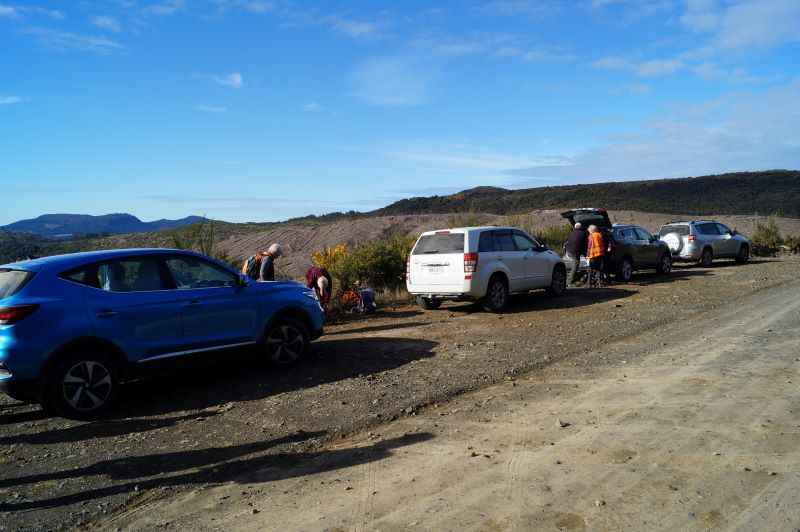


