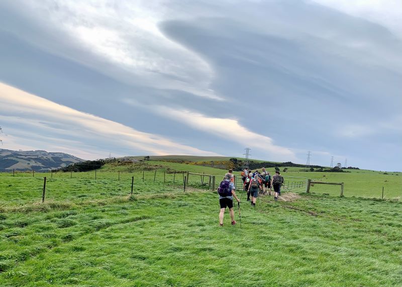
10. 14/09/2022. Hikers. Street walks of Dunedin – from the Oval. Leaders Jenni and Bruce
Memorials, buildings and landmarks that we drive past regularly were revisited when 24 hikers ventured out on a clear but cold Wednesday. Wearing many layers of clothing, we set off from the Oval, which as one clever quiz team recalled, covers 22.9 acres.
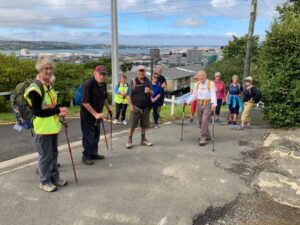
Oval Setting off from the Oval (Photo & caption Jenni)

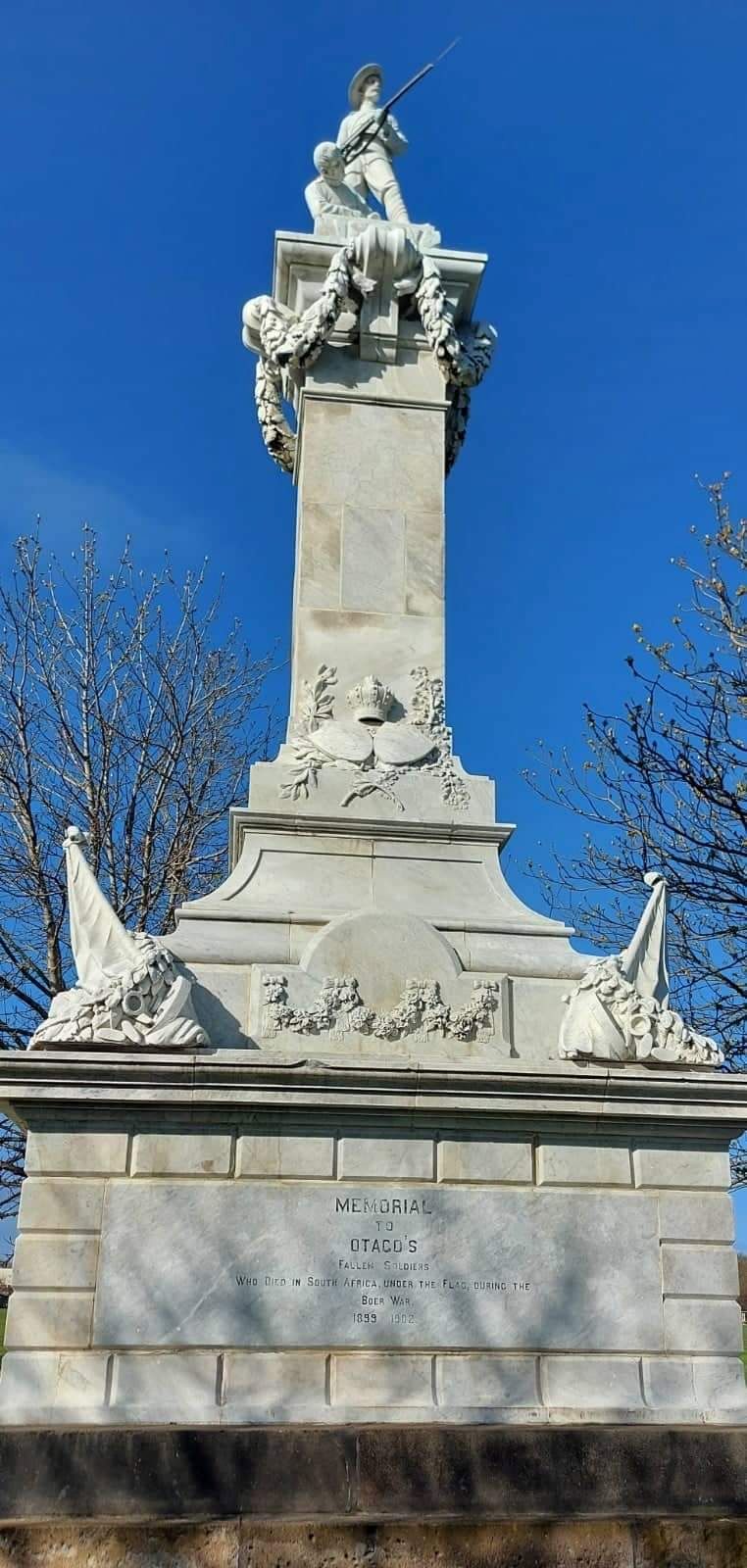
Perfect detailing, Boer War memorial (Photo & caption Helen)
Henry Ely Shacklock, Prince of Wales Hotel, Carnarvon Station, Bell Pepper Blues, the Empire Hotel – the home of the Dunedin Sound, all conjured up memories of time passed.
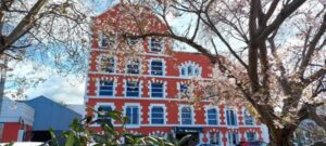
Further along Princes Street, we admired the beautiful refurbishment of Wains Hotel, now a 5 star boutique hotel and its across the road neighbour, Distinction Hotel, formerly the 1937 Chief Post Office. This building housed a huge number of public servants over the years.
Pristine Wains Hotel (Photo & caption Helen)
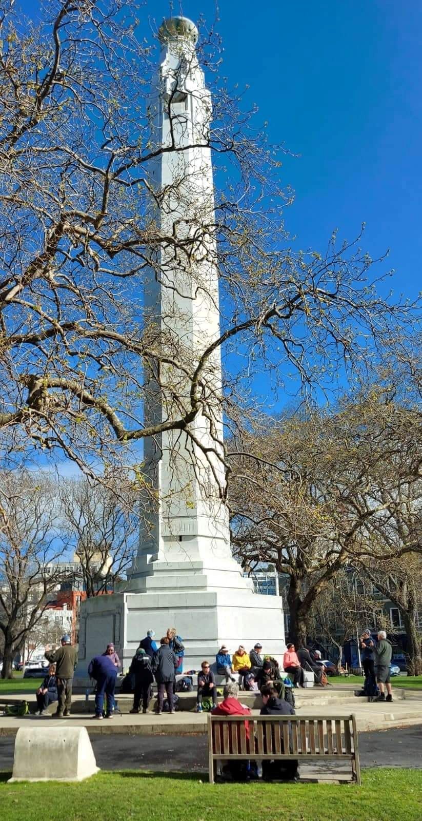
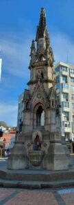
Morning tea was taken in the sunshine on the Dunedin Cenotaph.
Morning tea (Photo & caption Helen)
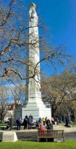
There was much to observe and discuss in the Exchange. The Cargill Monument, originally erected in the Octagon, but shifted to the Exchange in 1872. A mammoth effort, considering the detail.
What a task relocating this in 1872 (Photo & caption Helen)
It was interesting to visit Queen Elizabeth II’s, great-great-grandmother, Queen Victoria, who reigned for 63 years and seven months. What an amazing length of service from our two stoic royals.
Rattray Street, today a crumbling collection of buildings, has huge memories for many of the team ….. Hong Kong Café, Sunset Strip, Dragon Café, Tai Ping Restaurant, the Rolling Stones party place, Calder Mackay and the Crown Hotel to name a few. Along Manse Street, up Stafford Street. Ross and Glendining Ltd, Kempthorne Prosser, Sew Hoys and the St Mathew’s Anglican Church. The architect for the church was William Mason, MP and Dunedin’s first mayor and yes related to Mason and Wales of today.
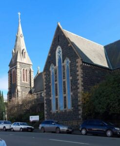
St Mathew’s Church (Photo & caption Helen)
Admirable skills here (Photo & caption Helen)
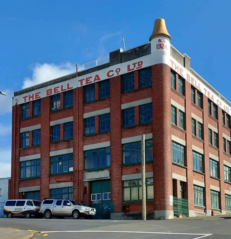
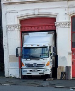
Next came the stories from the Rugby Hotel, topless waitresses (from one who knows) and the Bell tea building.

NZ’s oldest tea producing company (Photo & caption Helen)
The Market Reserve was our next destination, and there’s miles of history around what was formerly a tidal inlet, the original shore of Otago Harbour. The Victorian style men’s toilets were discussed, ladies were no where to be found. The Crown Roller Mills building has now been beautifully restored and houses 12 luxury apartments and a restaurant.
The Crown Roller Mills Building (Photo & caption Helen)
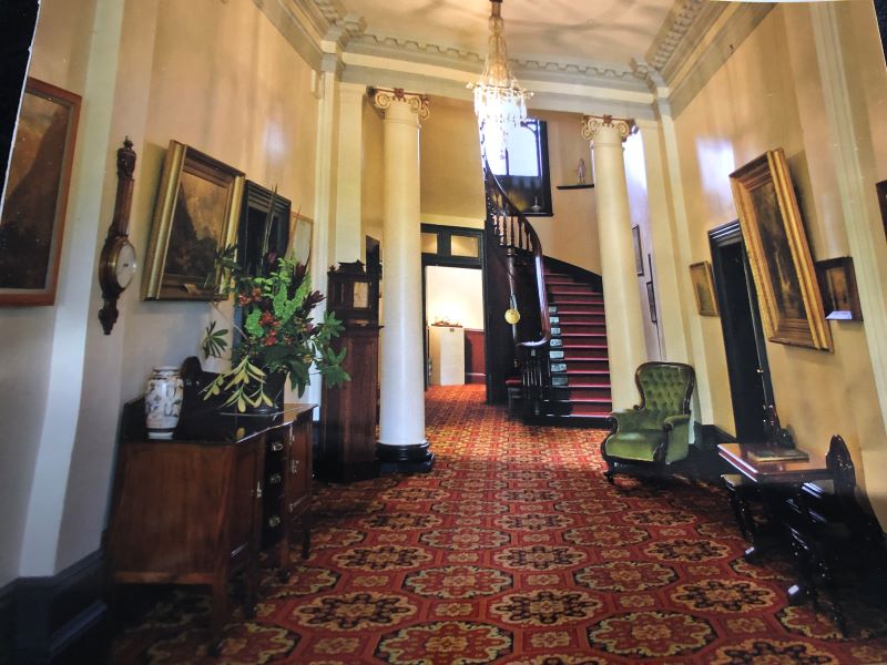
We admired the house Johnny Jones lived in (39 Melville Street) which is still in great shape and then popped our heads into The Dunedin Club which was built for him. Royalty have stayed there. This is used today as a hub for business people, weddings, conferences etc. It also has eight luxurious suites for accommodation. As an aside did you know that Jones donated the land for the building of St Paul’s Church in the Octagon?
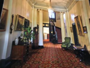
The grand hall, photo courtesy of The Dunedin Club
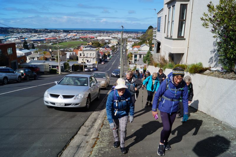
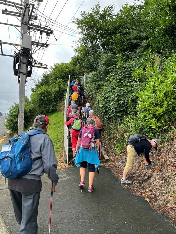
We zigzagged up the 98 steps (one of the quiz questions), to Maitland Street and some viewed the Bottled Sunshine sign for the Lanes lemonade factory. Some missed that! Carroll Street which was previously known as Walker Street, was the red-light district of Dunedin and associated crime. The top block of Carroll Street was known as the Devil’s half acre. The arrival of the Lebanese community helped improve the area, but the reputation was renowned. Now, we’re informed the red-light district is all around us, with online ordering and home deliveries!

Up Maitland St, looking back occasionally for great views (Photo & caption John)
The team made good progress up the steep Maitland Street and arrived at our lunch stop at Unity Park. The wind chill factor caused us to depart sooner than we would have liked. We were happy to know the Trampers had reached the top of Mt Cargill for their lunch stop but they couldn’t see us waving!
The only other site worth mentioning was from Walter Street and overlooking where Carisbrook once was and pondering what might be in store for the Forbury Trotting site.
Back through the Southern Cemetery, a rather sad place with many delipidated plots.
At the Oval, we popped into the Kensington for a short quiz on the day’s findings. One of the team’s names was “Time for Ovalteam” – clever! The team though who won the quiz was “Outram Plus 1” and received boxes of Smarties, which seemed appropriate. Drinks and homemade nibbles were enjoyed, service was a bit slow.
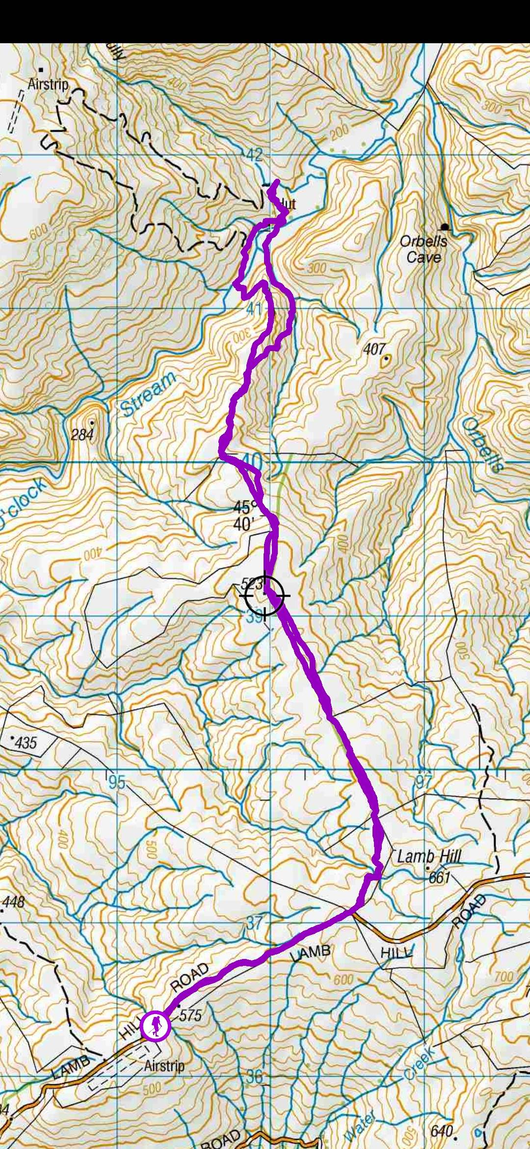
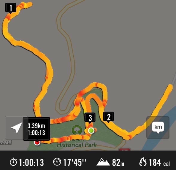
Walk was around 9 km.
We would like to thank everyone for their keen participation for an enjoyable day out.
Bruce and Jenni.
Note: Toilets on this walk are few and far between. If you want the Oval toilets open, you need to organise this with the DCC – www.dunedin.govt.nz/do-it-online/book/facility-bookings or phone 477 4000. The ones in the Exchange area where the ACC building is being erected, are no longer available.
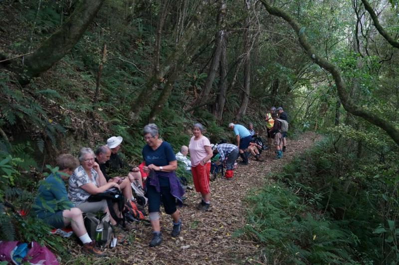
9. 16/02/2022. Hikers. Town Belt Circuit. M. Leaders Linda Partridge and Diane Paterson
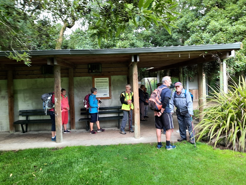
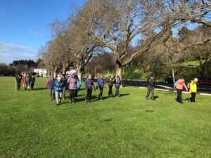
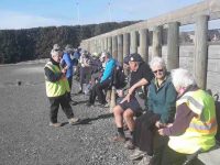
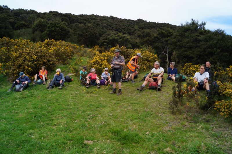
Thirteen keen hikers met at Woodhaugh Gardens for morning tea before setting off on a circuit of the northern/central part of the town belt.
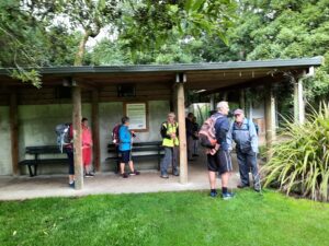
Morning tea at Woodhaugh Gardens (photo & caption Ady)
We began by taking the zigzag path and steps up from Duke Street. When we reached Queen and Warrender streets, after our first ascent, we viewed the university in the distance and saw up close where many of the students lived in their hillside flats. We met some students from Auckland moving into their new abode and friendly banter ensued between the students and the sprightly TRTC hikers. We also marvelled at the parking arrangements in these narrow steep streets.
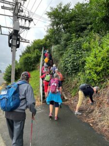
More steps! (photo & caption Diane)
We continued on to Cosy Dell and took time to view the tennis courts and the array of historic homes, many now flats that are located in a small area.
Great views of the city along the way (photo & caption Raewyn)

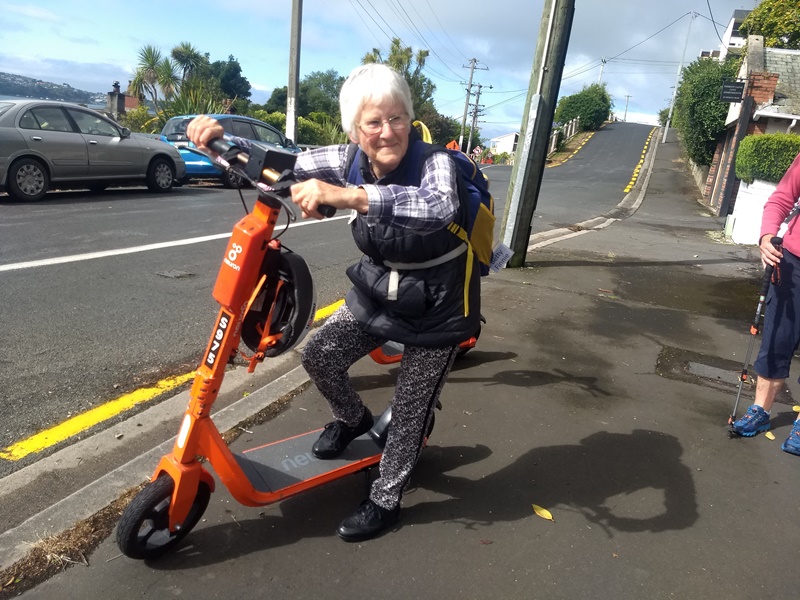
Betty keen for something different! (photo & caption Linda)
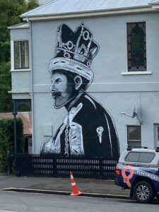
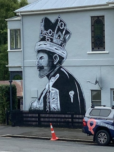
‘Queen’ Freddie Mercury on Queen Street (photo & caption Raewyn)
More steps (and groans) and we made our way along Park Street to Heriot Row, London Street and then around by Moana Pool to our lunch spot at Olveston.
Unfortunately we felt we were a little early for lunch so low and behold another set of steps were located and we climbed up to Wallace Street and then found a pleasant route back down to Olveston for a well-earned lunch.
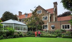
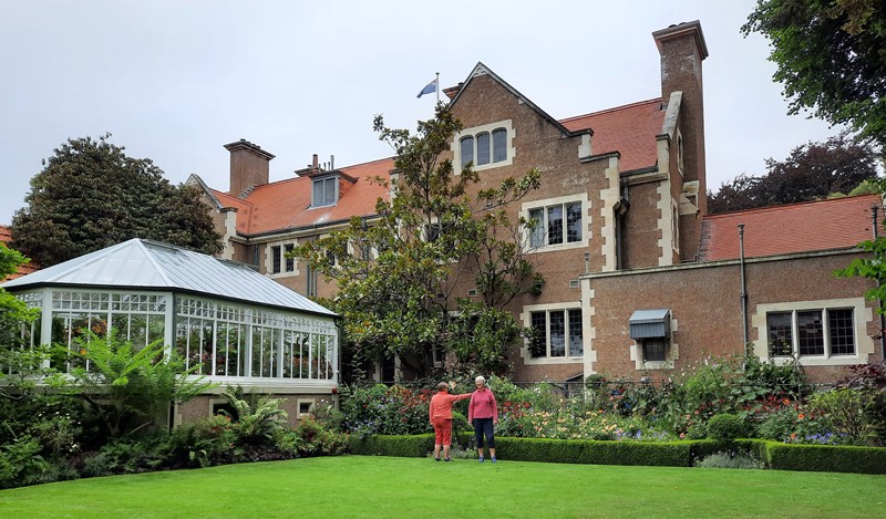
Lunch at Olveston (photo & caption Ady)
After lunch and a brief look at the lovely Olveston gardens our route back took us along streets and tracks through the town belt until we regrouped at Stonelaw Terrace. Given we were making good time we did a detour down Cannington Road and Braeview Crescent before descending on the historic Bullock Track to our cars at Woodhaugh Gardens.
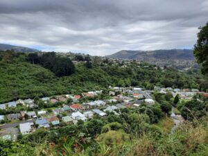
View of the Leith Valley (photo & caption Ady)
It was a great day with lots of interest including history, panoramic views, friendly students, the very special Green Belt and a few laughs along the way. The circuit we took was around 9kms.
Afternoon tea was enjoyed at the café in the Botanic Gardens.
Linda and Diane
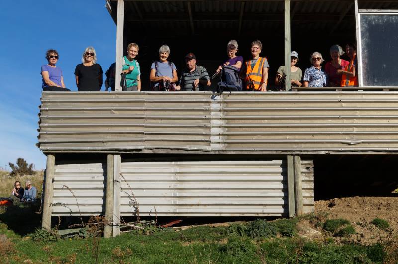
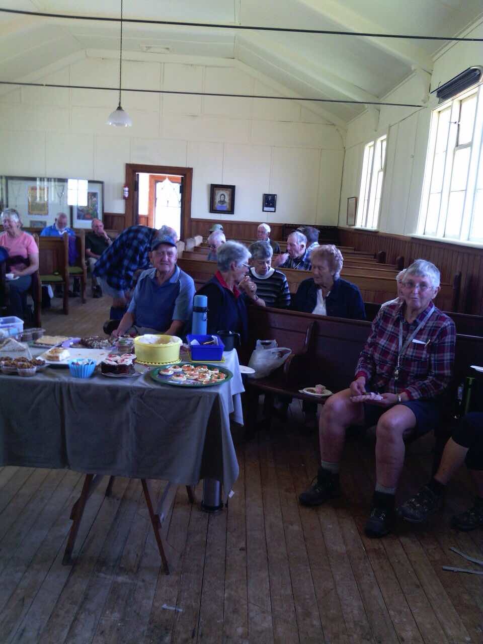
8. 11/9/2019. Hikers. Town Belt- walk, bus trip. Leaders: Pam and Jenny.
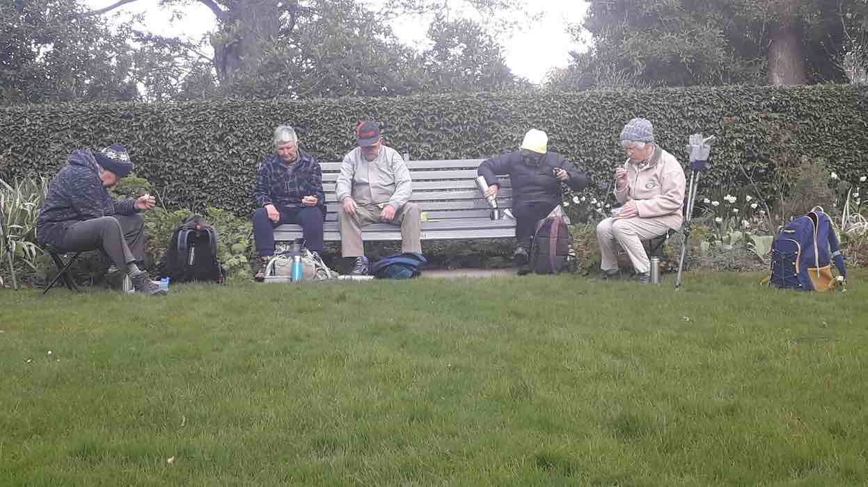
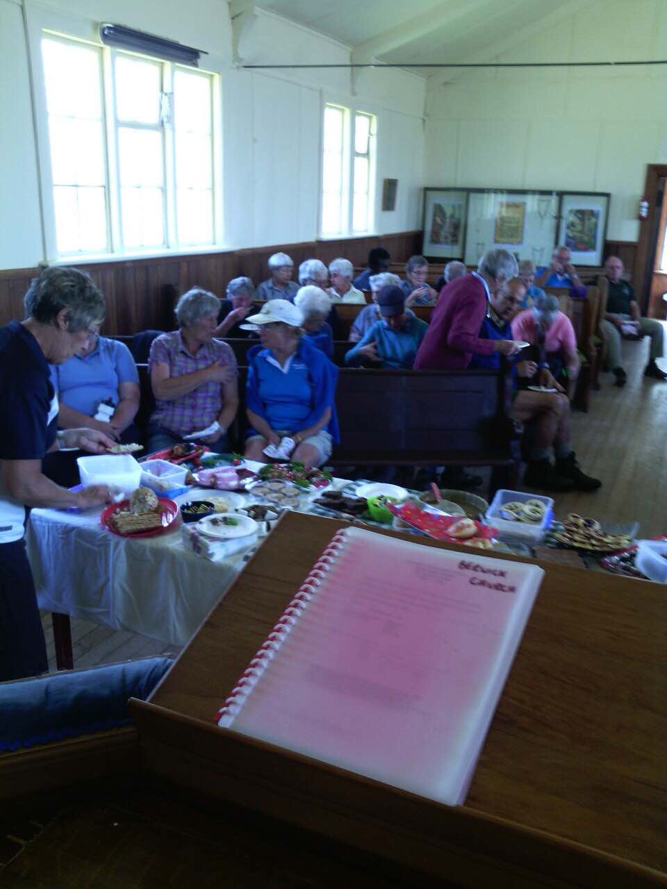
B.1. Morning tea at Dunedin City Petanque. No shorrage of seating, perfectly sheltered from any breeze. (Barbara pic and caption.)
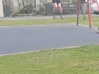
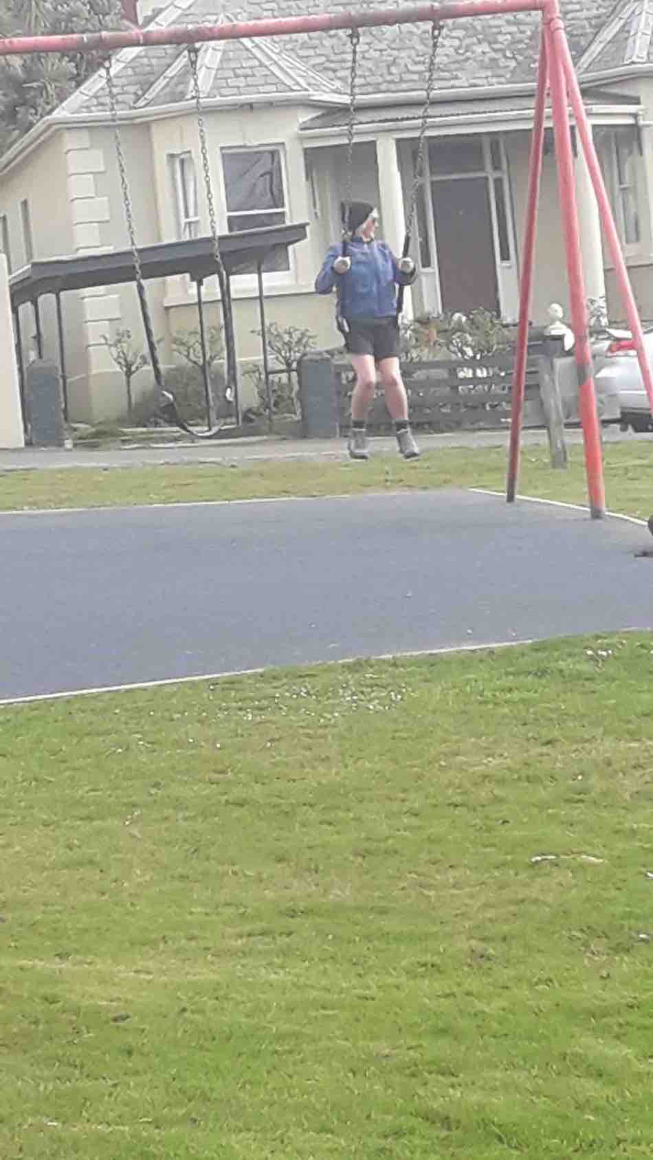
Playtime for a youngster! (Barbara pic and caption.)
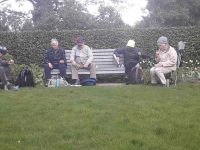
Lunch time at Olveston. (Barbara pic and caption.)
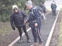
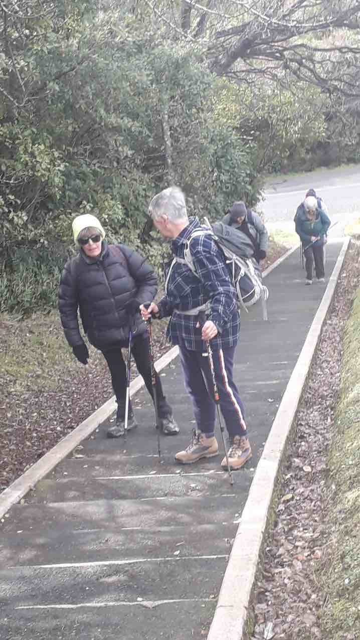
Lesson on tackling step before teacher heads actoss the ditch! (Barbara pic and caption.)
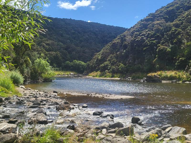
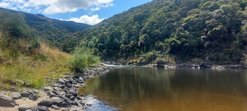
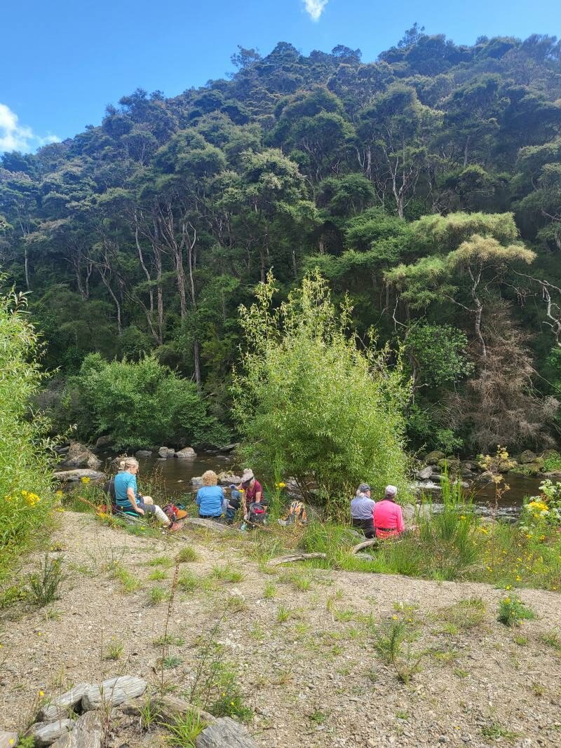
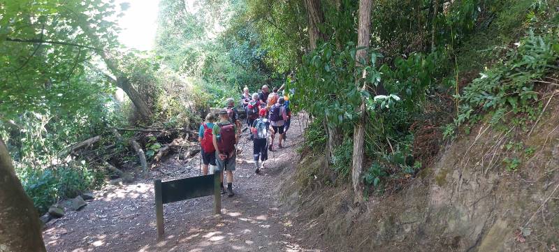


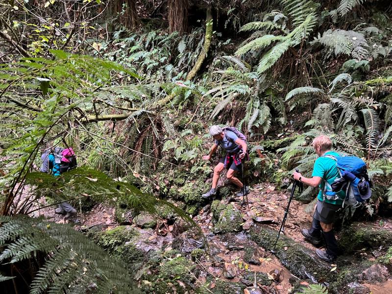
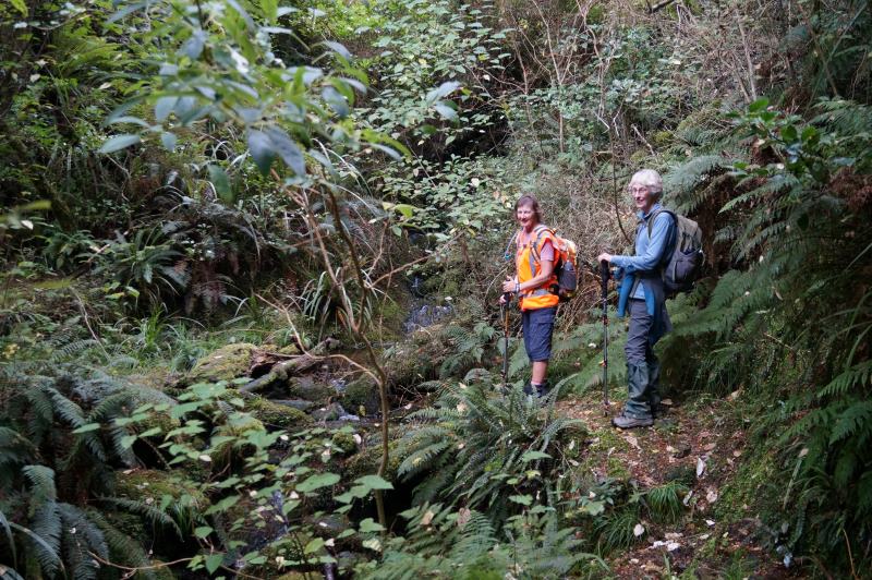
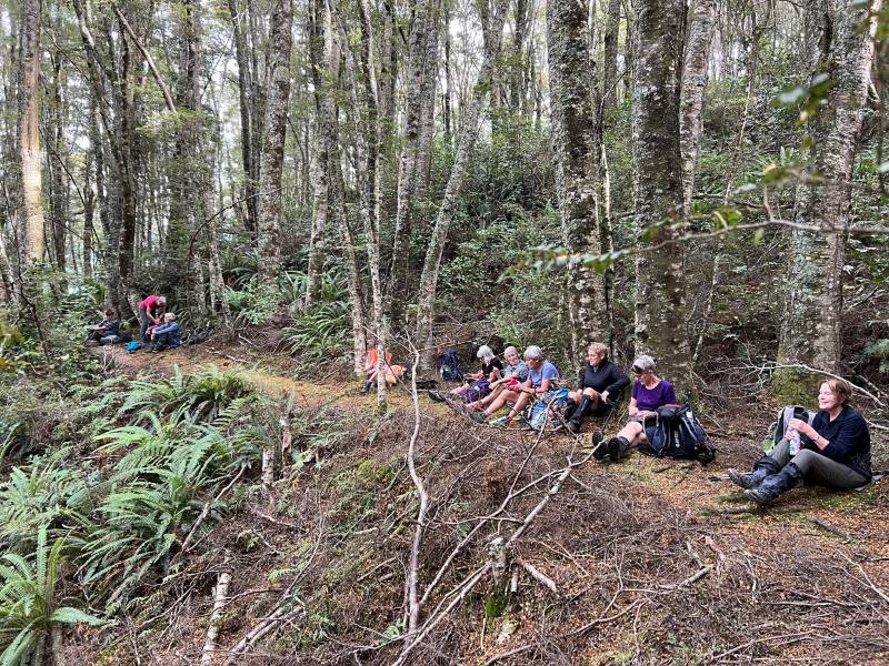
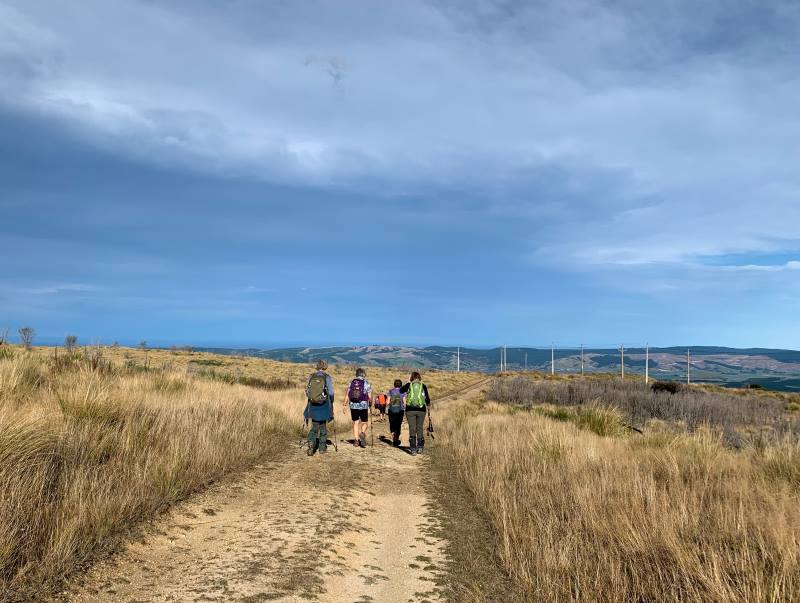
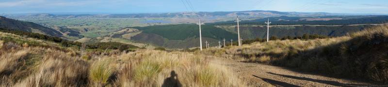
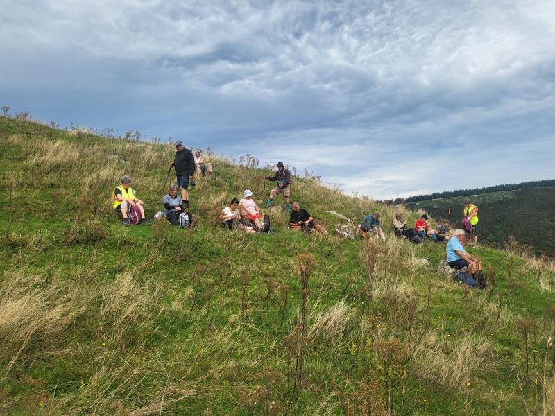
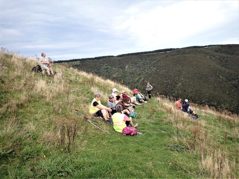
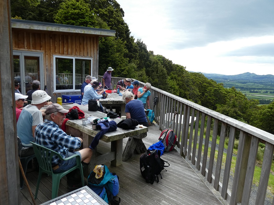
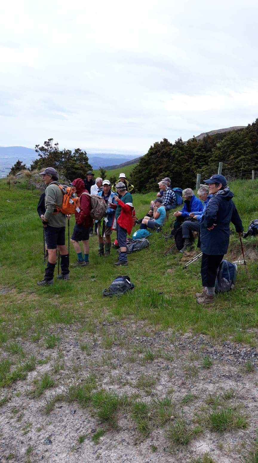
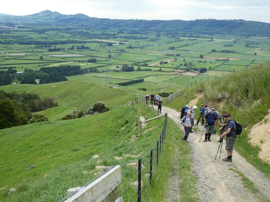
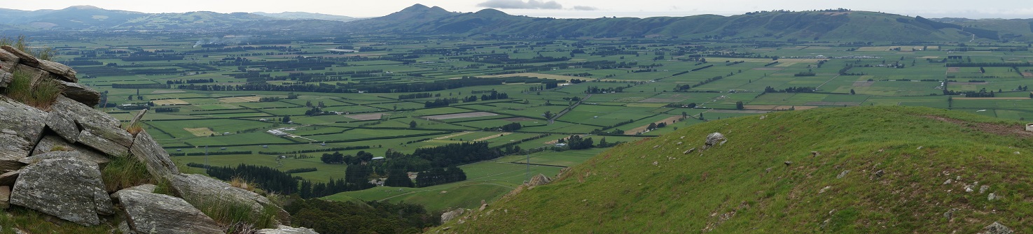
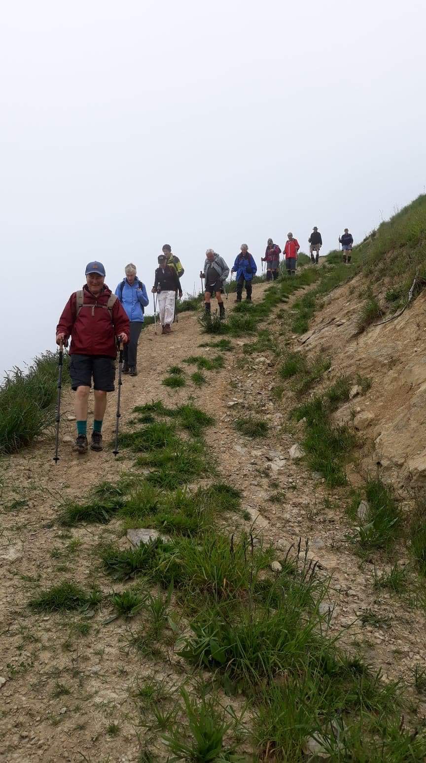
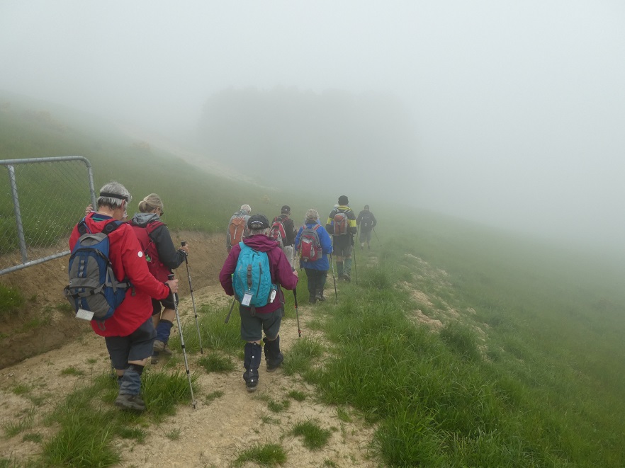
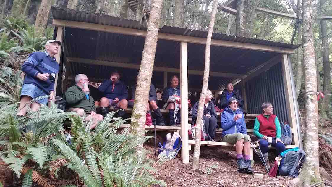
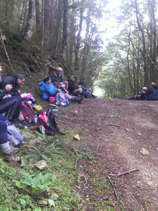
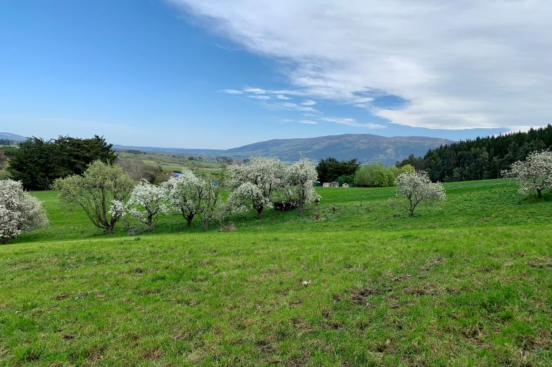
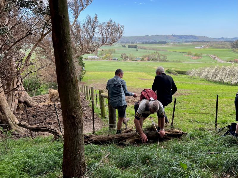
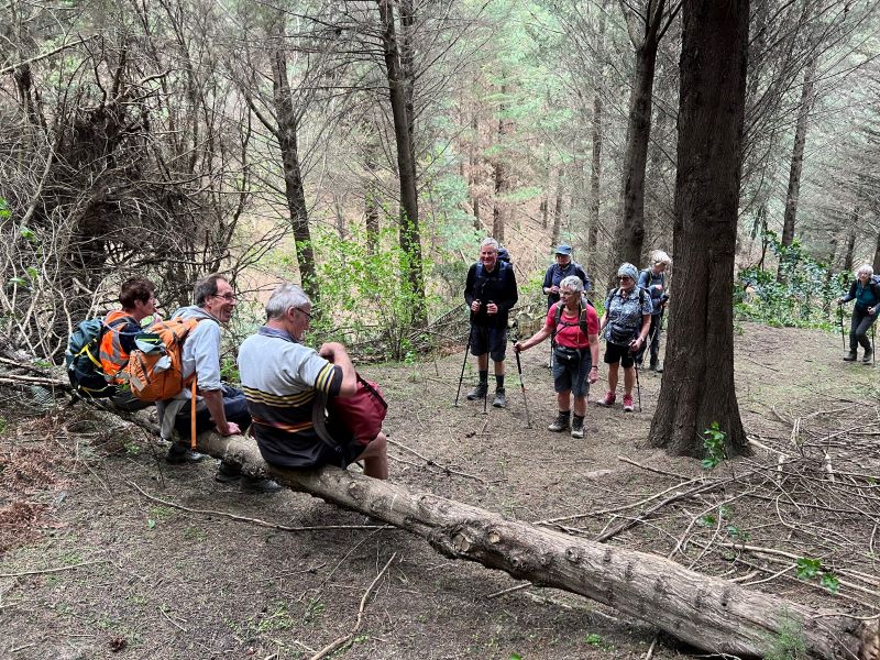
 18. 14/2/2024. Trampers. Maungatua Option. Leaders Lyn Keene, Anne Ward and Di Bezett
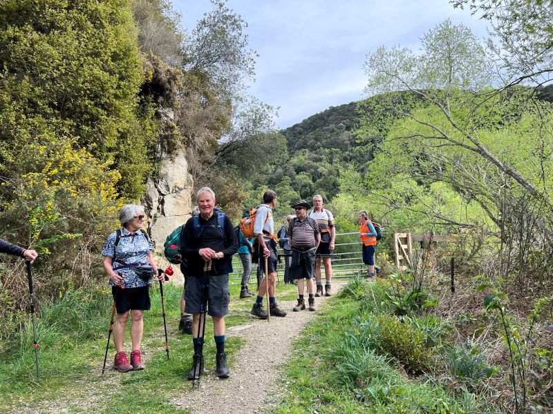


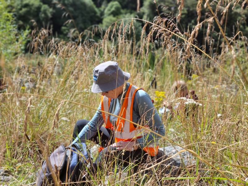
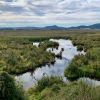 5. 04/04/2024. Combined. Sinclair Wetlands. Grade 1.5. Leaders Ady, Linda, Dave and John.
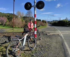
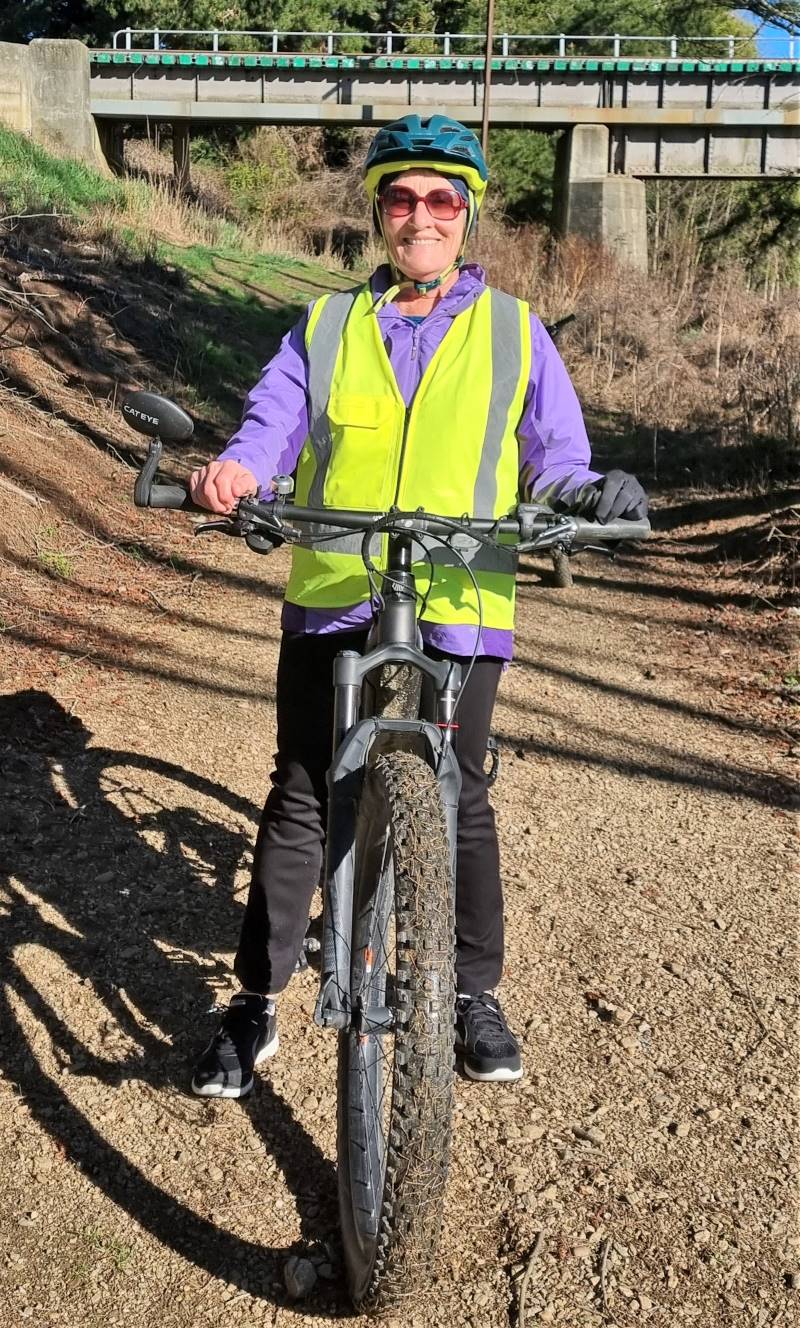
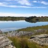 13. 06/12/2023. Hikers. Sutton Salt Lake – Glencreag Track. Grade 2.5. $16. 60km. Leaders: Wendy Langley/Katrina McKenzie