May 29 2019
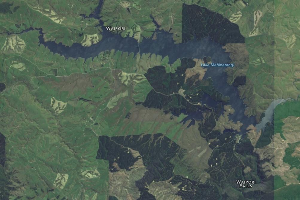
Horsehoof Station Tramps
Making it to the top

Finally the Summit. (Gordon pic and caption.)
where photo shoots were taken.
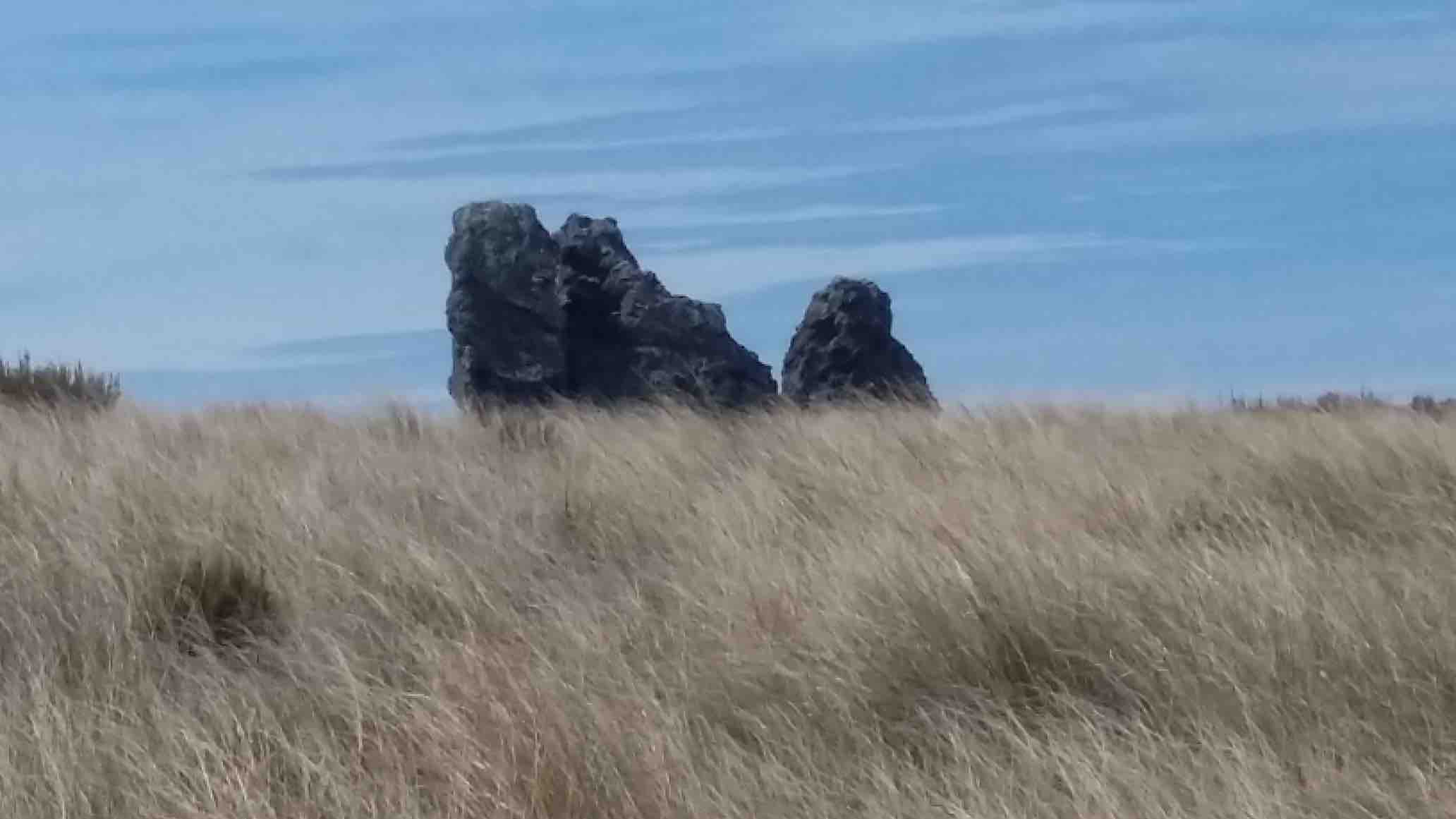
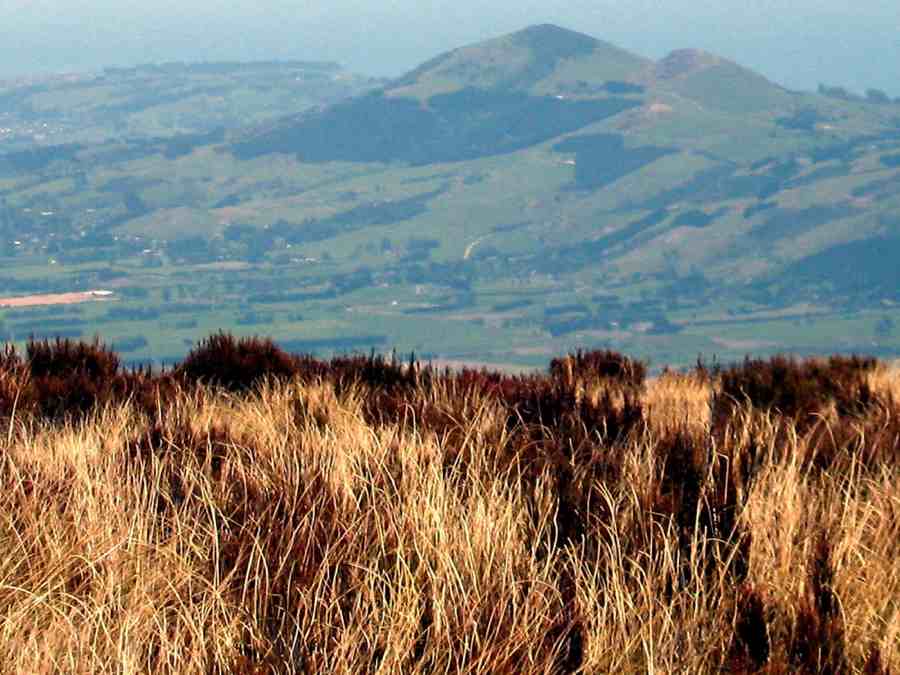
The new Saddle Hill volcanic crater.(Phil pic and caption.)
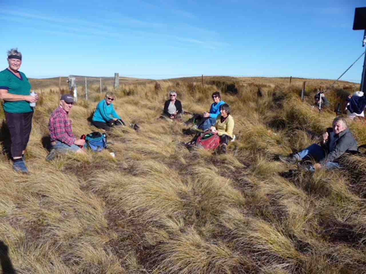
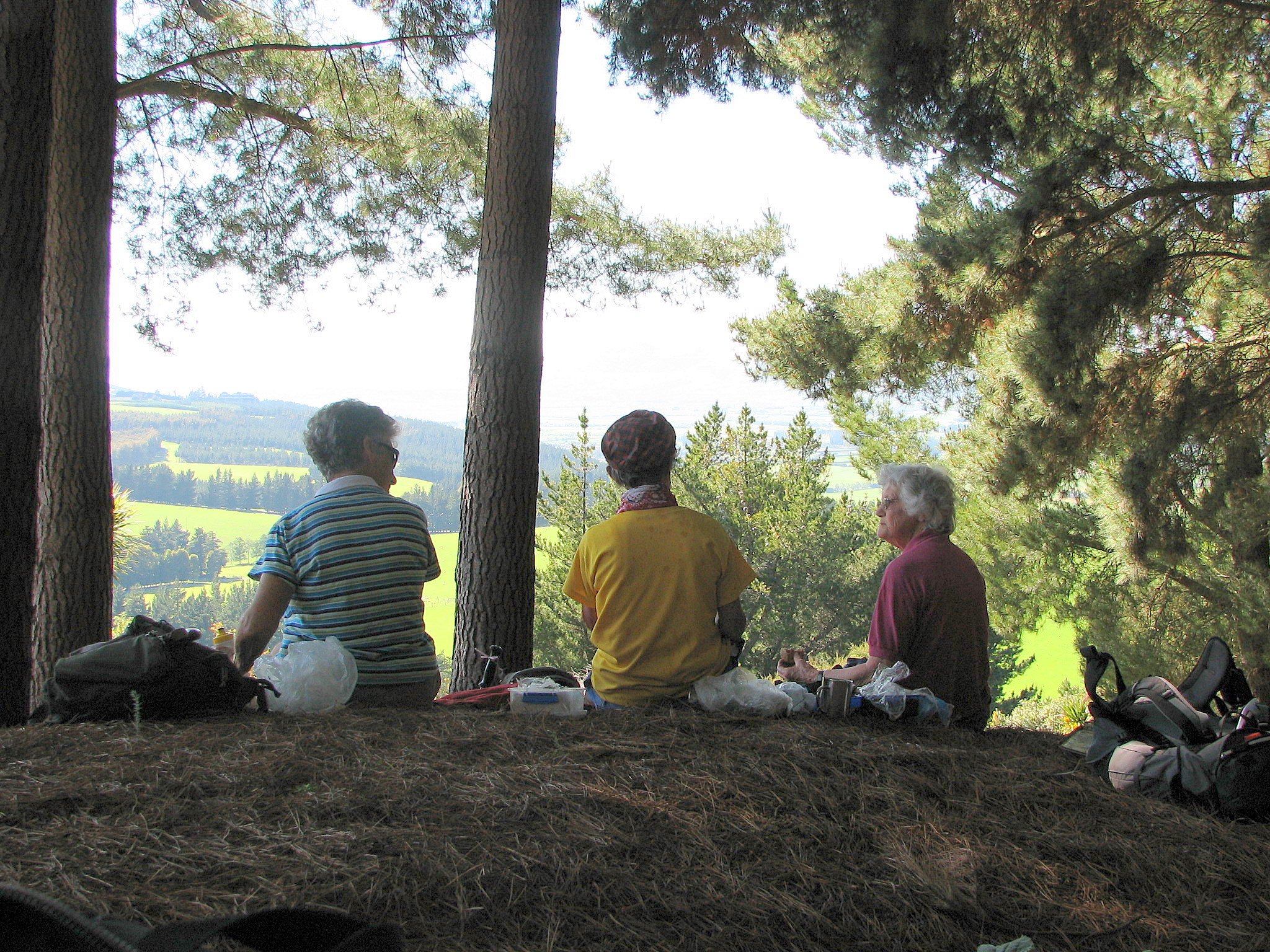
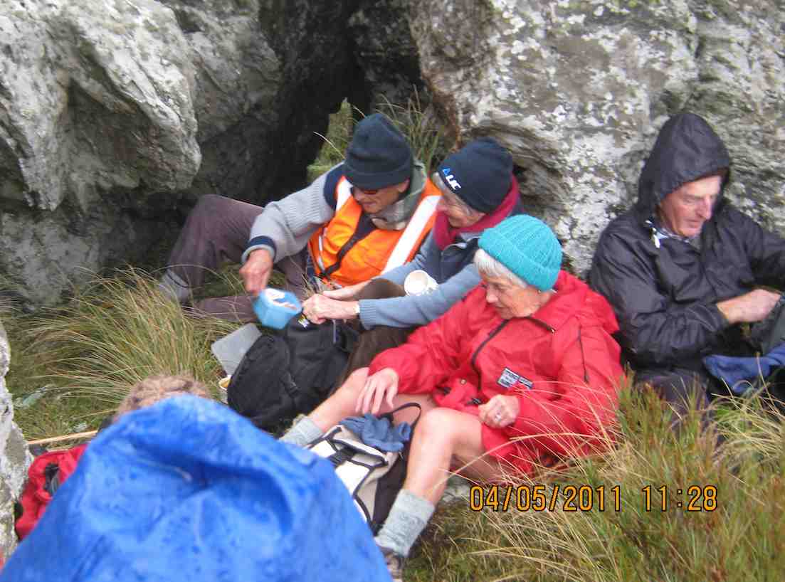
Great views but soooo cold and windy. Decided to go back to some shelter in the tussocks for lunch.
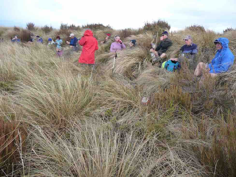
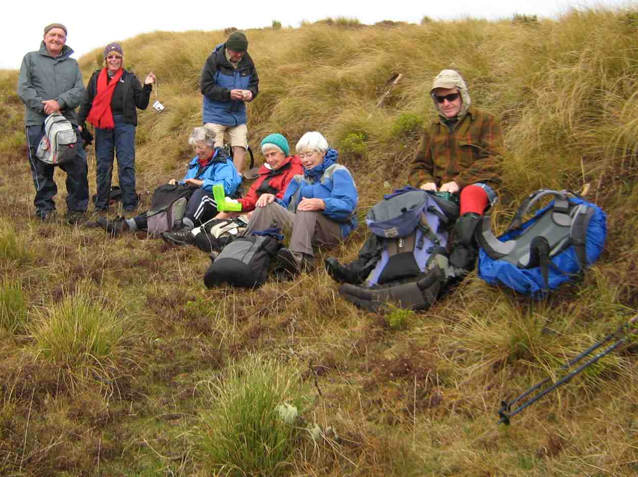
Lunch out of the wind. (Gordon pic and caption.)
Back up to the corner of Horsehoof,

Out of the West ( Mahinerangi in background) (Phil pic and caption.)
and with three going back down the start track to look for poor old Dave’s iphone lost on way up, while the rest of us went the longer way.
All in all a great tramp in some windy conditions, travelling 14kms. Refreshments well received
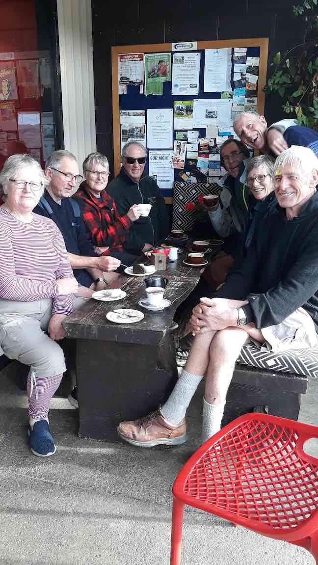
Coffee. (Helen pic and caption.)
with great service at the Wobbly Goat in Outram Helen.😉
MAUNGATUA DEBRIEF
It saddens the leader to have to write these notes, due to the fact that a few of the group completely ignored the club’s Safety Rules up on Maungatua.
The club formulate these safety rules many years ago, which were updated 2-3 years back. All new members are given a copy when they join, and they are on the club’s website. (v. Page 7a.) Everyone should be familiar with them.
There is nothing difficult about these rules, just simple commonsense things (but of course, as they say, common sense isn’t common any more. (A detailed email is going out to all members about this) – Art.
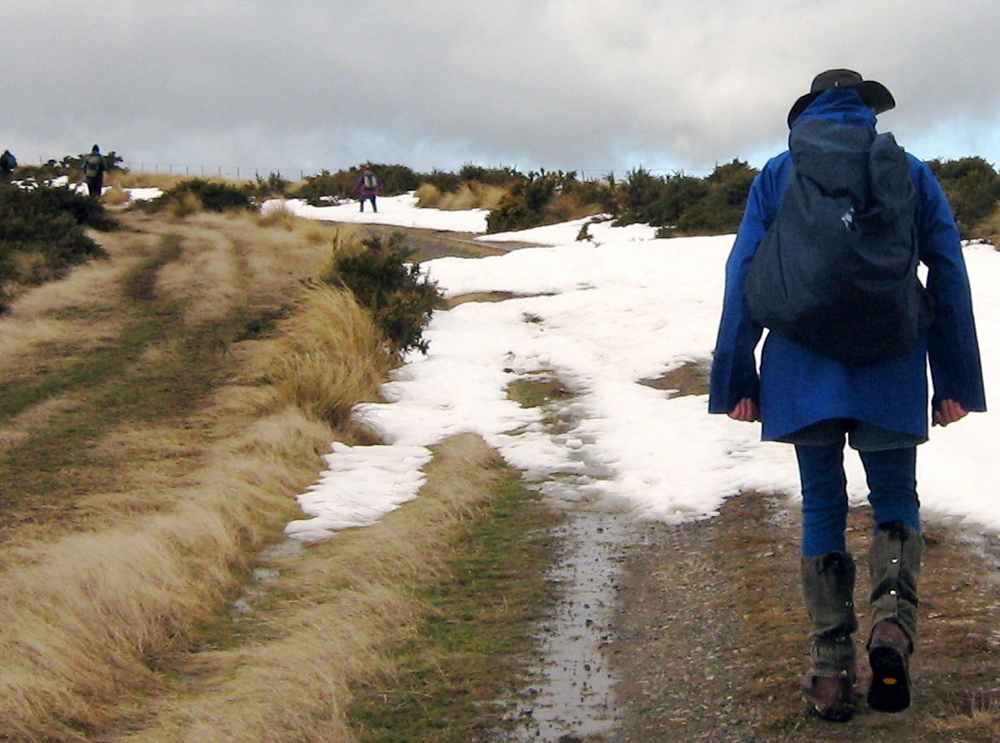
Once upon a time 12 happy trampers set out to climb the big mountain of Maungatua. They wanted to get to the top, and were very determined.
But the nasty rain came just as they set out, and the cold wind joined in to make things unpleasant for the 12 happy trampers.
The cloud came down too, to hide the top of the mountain, but that was no deterrent either. Jackets and gloves kept them warm.
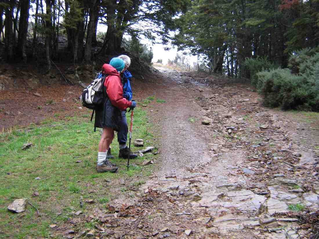
Uphill they went, on the good 4WD track, into the cloud and with the wind and rain attacking them.
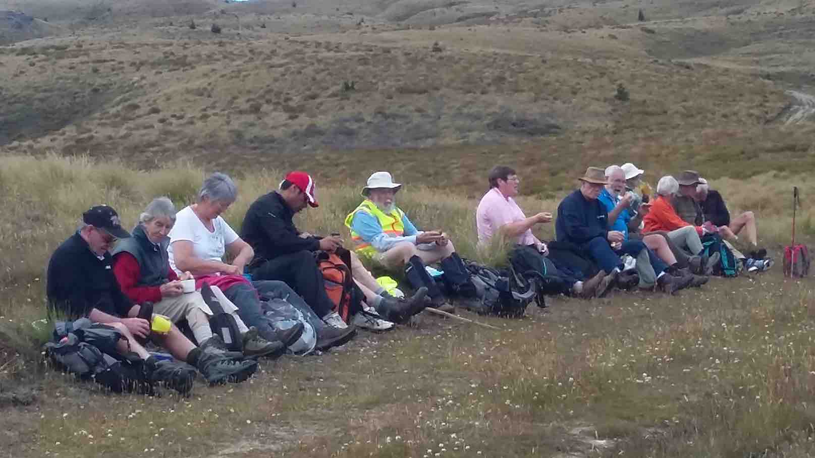
In time they were high up on the mountain, and stopped to have their morning tea in the slight shelter of a little hut, beside some aerials.
After a brief stop to enjoy their hot cups, discretion was decided upon, and the 12 happy (still) trampers returned back down the mountain to their cars.
But the 12 happy trampers had had a good morning’s exercise, covering more than 6 km and the rain and wind had given a good test to the weatherproofness of their clothing.
Feeling a bit wet and cold, the 12 happy trampers drove back to Mosgiel, returning safely to their homes.
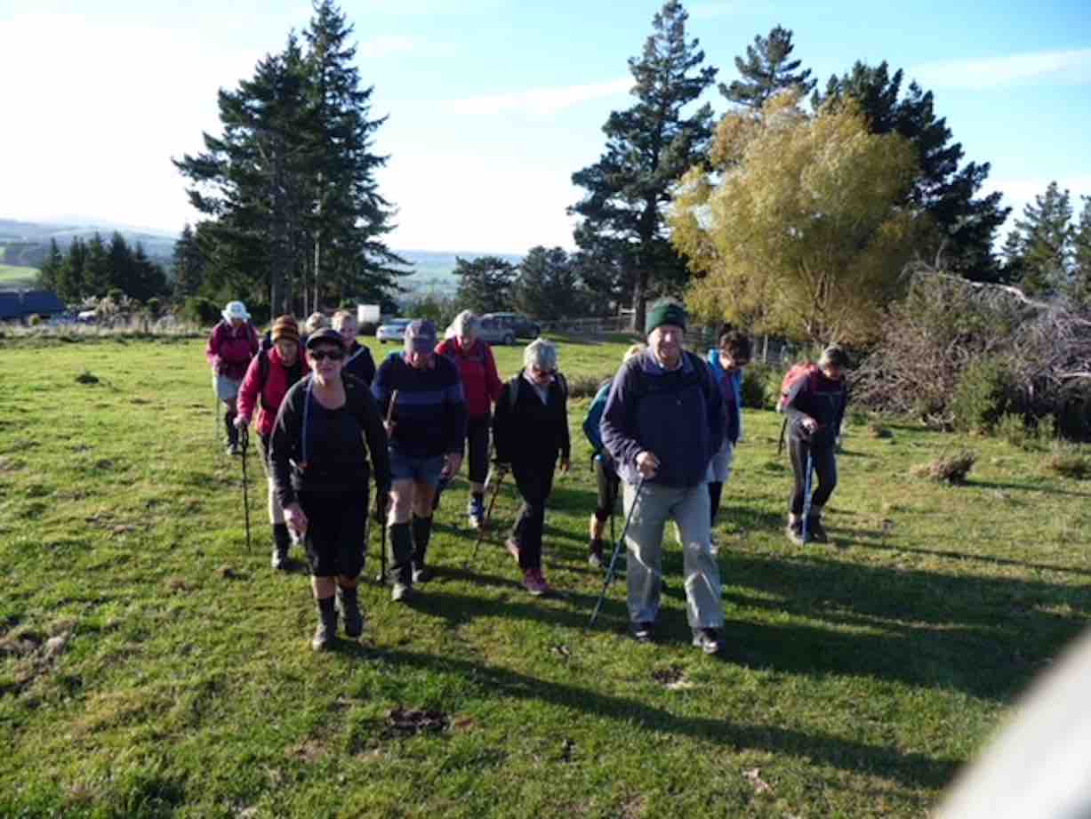
20. 10/5/2017. Trampers. Maungatua trig via Horsehoof. M. Leader: Arthur.
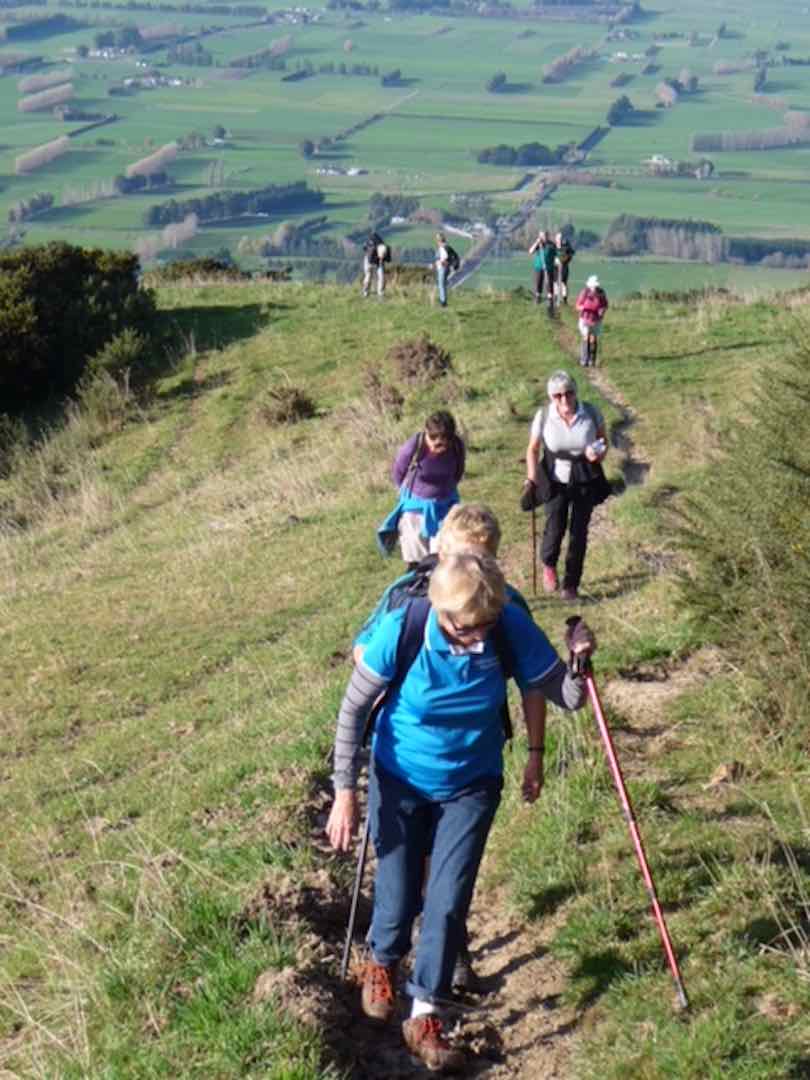
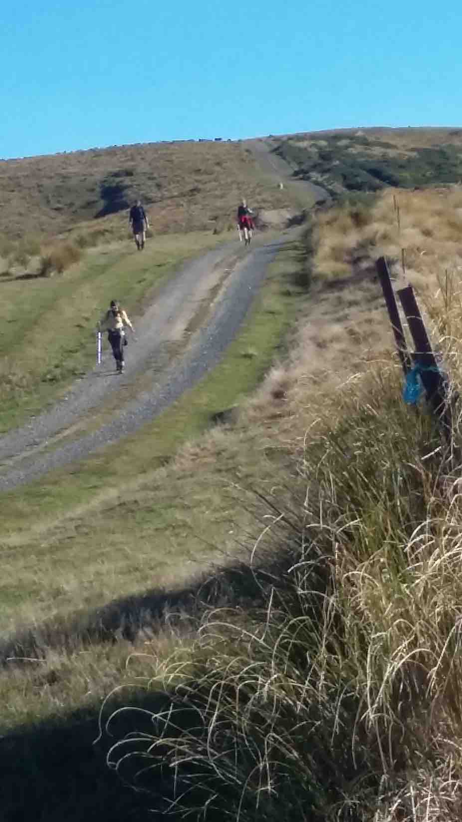
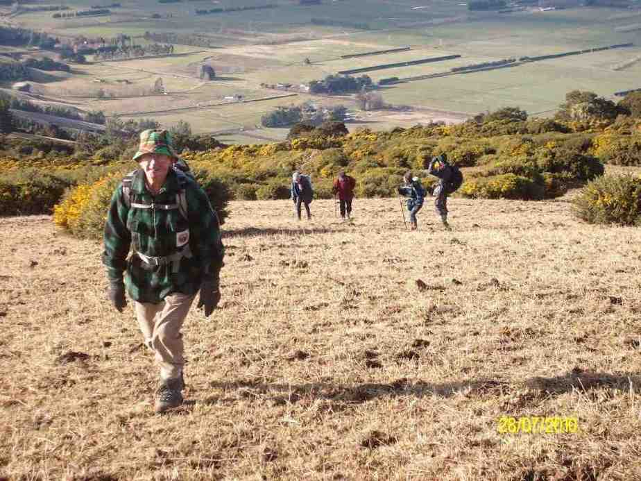
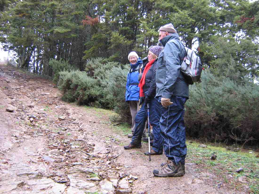
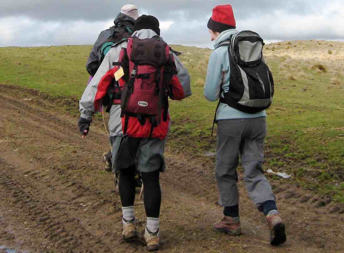
Clear skies, a light breeze, and lots of sunshine gave perfect conditions for our tramp up onto Maungatua. The cars were left high up beside the farm road on Horsehoof, a group of 13 happy trampers setting out from here on the uphill dozed farm track.
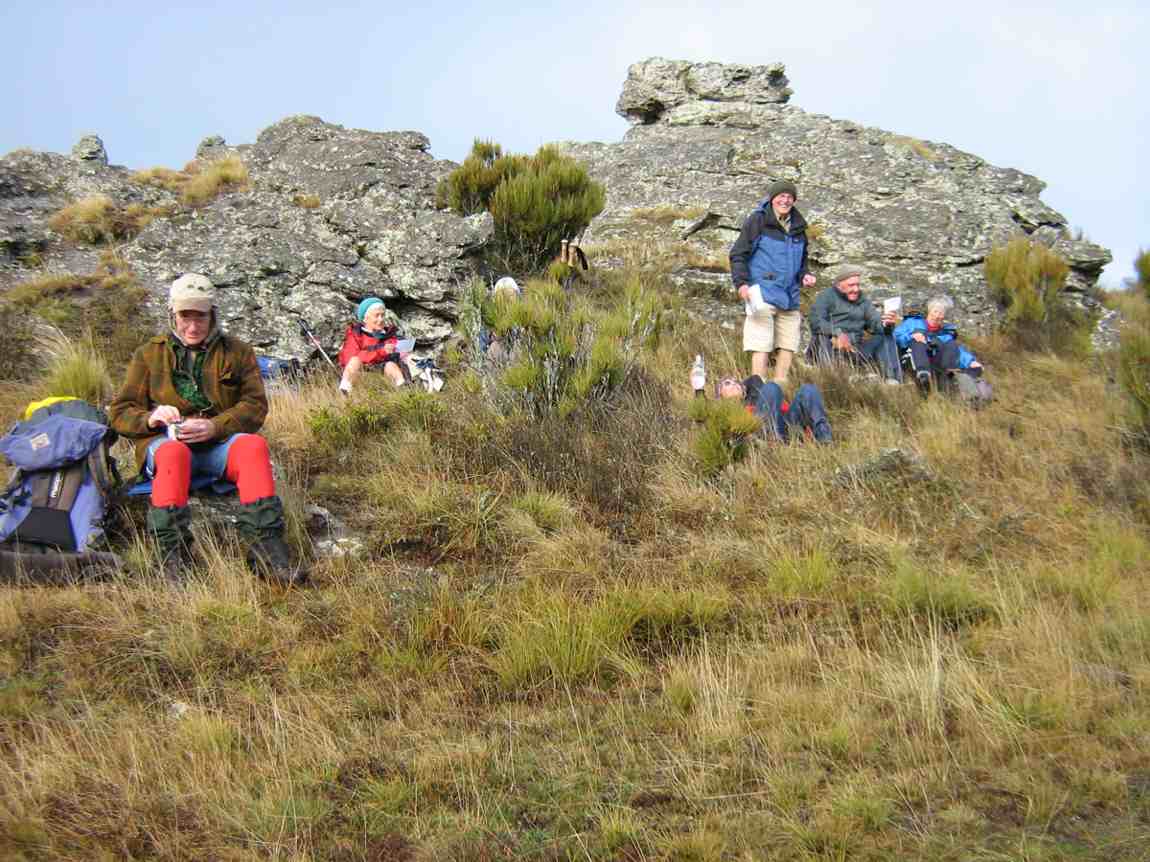
About halfway up morning tea was taken, with stunning views to enjoy at the same time, in the clear air.
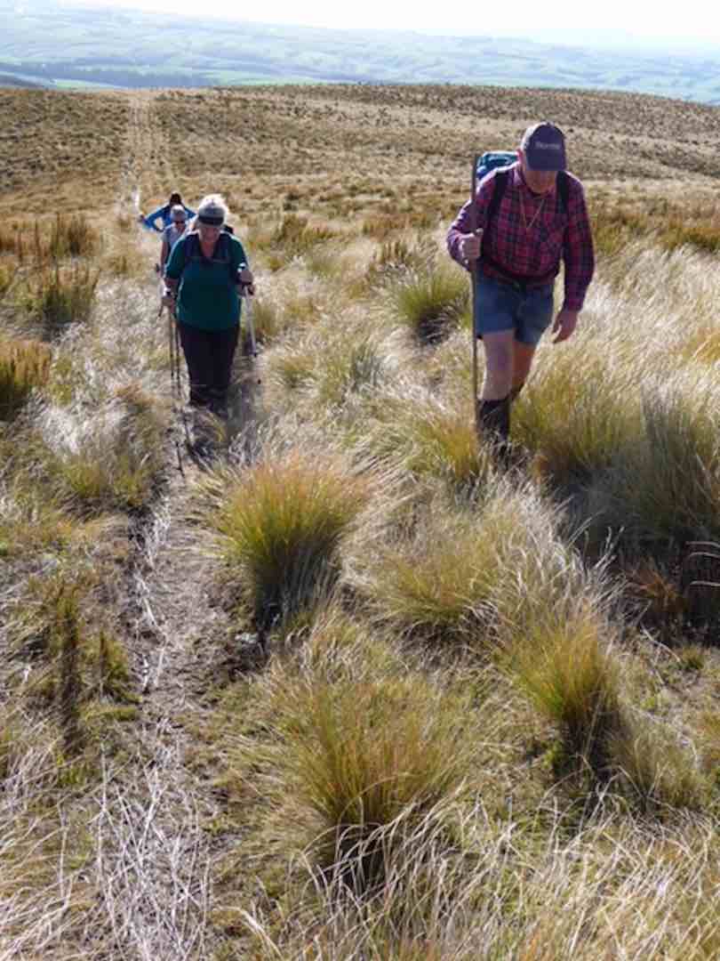
Onward and upward, we reached the top boundary of Horsehoof Station, and climbing through the fence were in the DOC reserve which encompasses all of the top of Maungatua. It was then single file through the tussock and turpentine shrubs on the faint track.
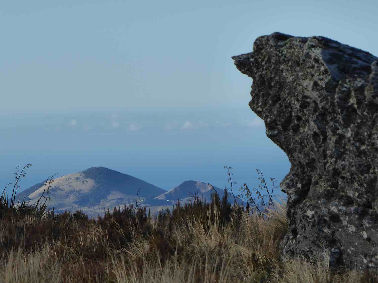
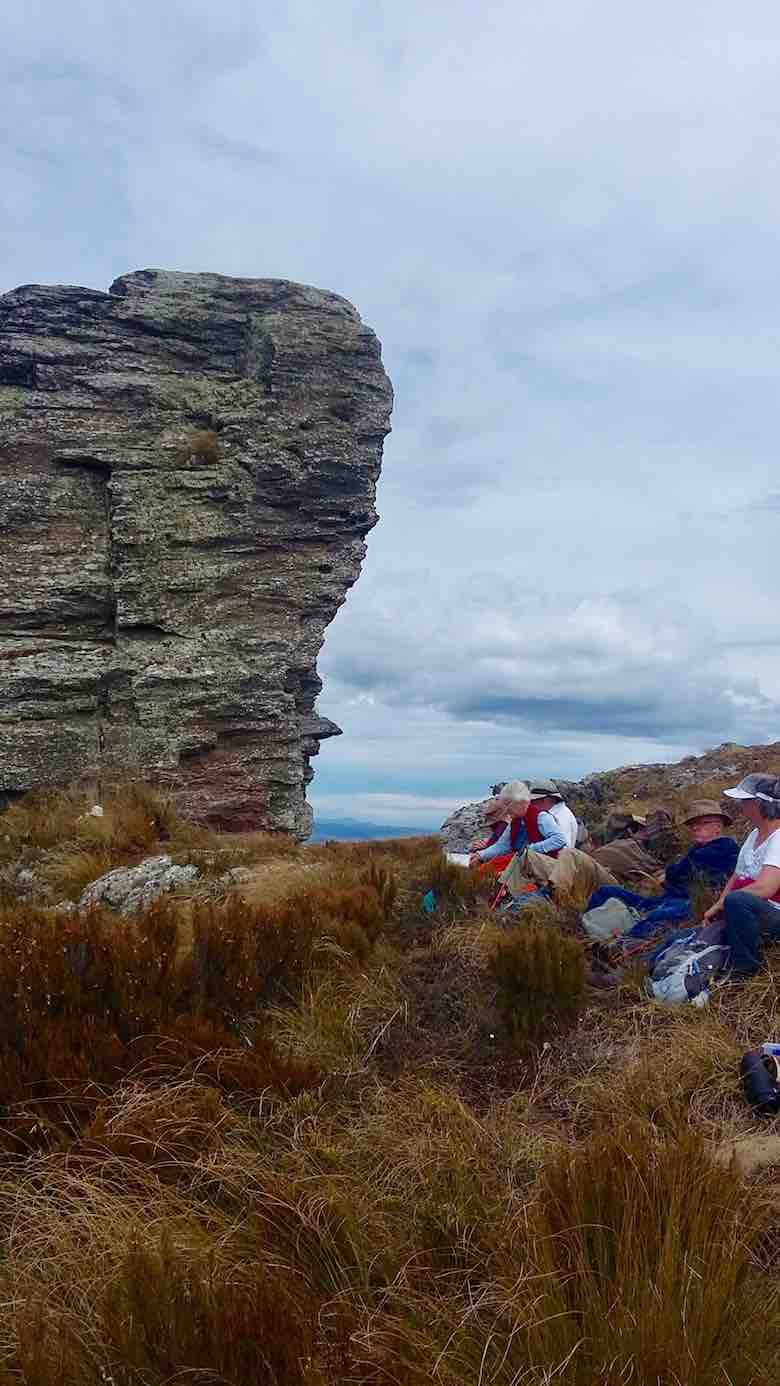
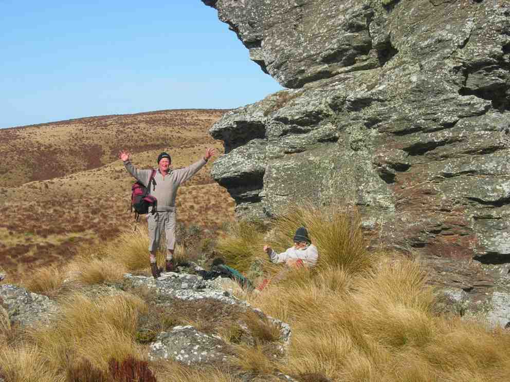
We stopped to admire the Big Rock,
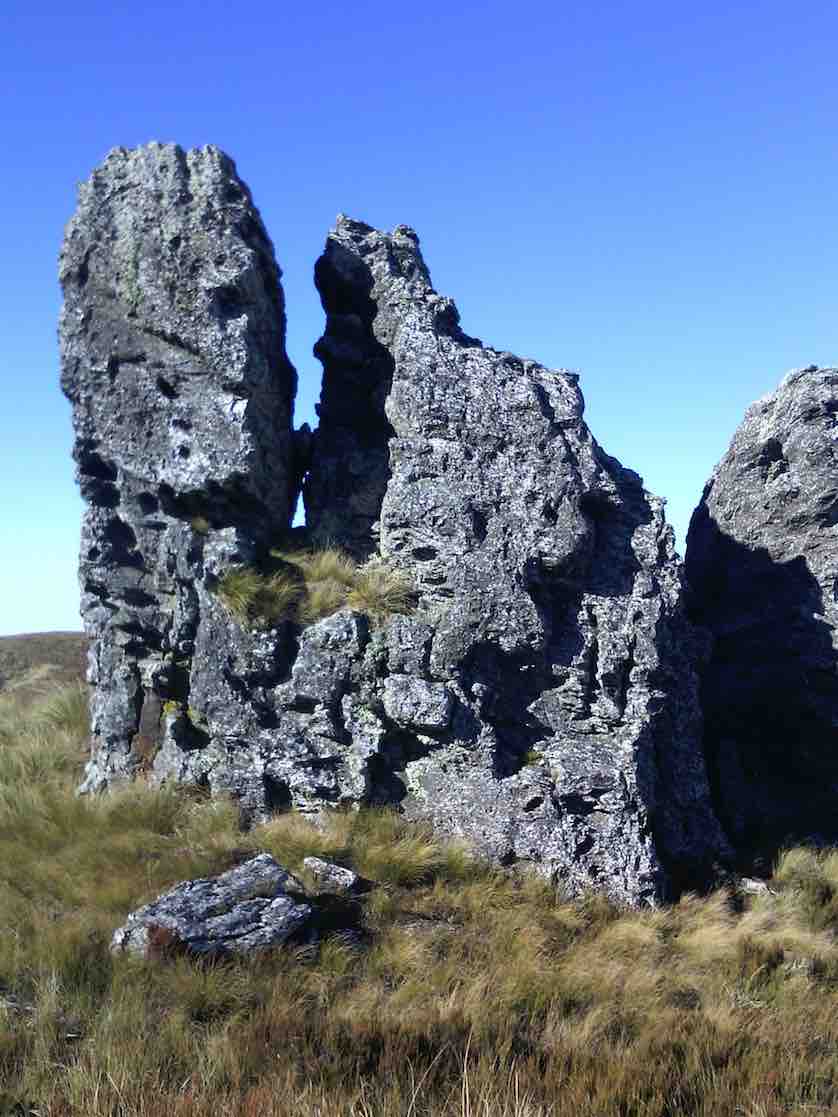
The beautiful rock. (Helen pic and caption.)
photos being taken of the group.
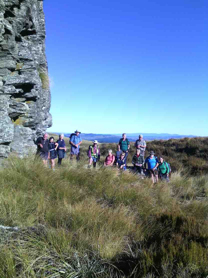
The group of 12 plus me. (Helen pic and caption.)
Just as we were preparing to move on a pair of N.Z. falcons flew in and landed on top of Big Rock just above us. They weren’t at all worried by us humans, and it was marvellous to see them there.
In single file we moved on, and eventually came to the summit post at 12 noon – perfect timing for lunch.
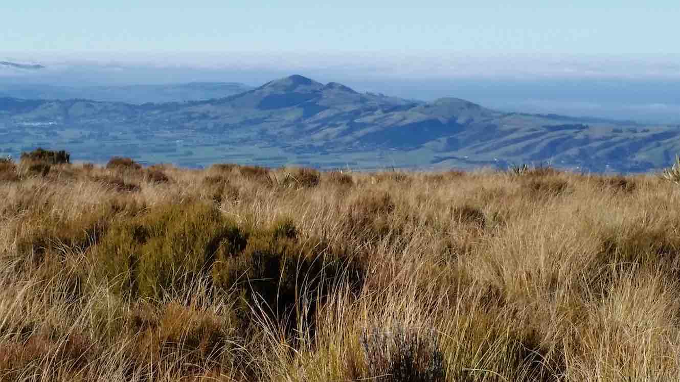
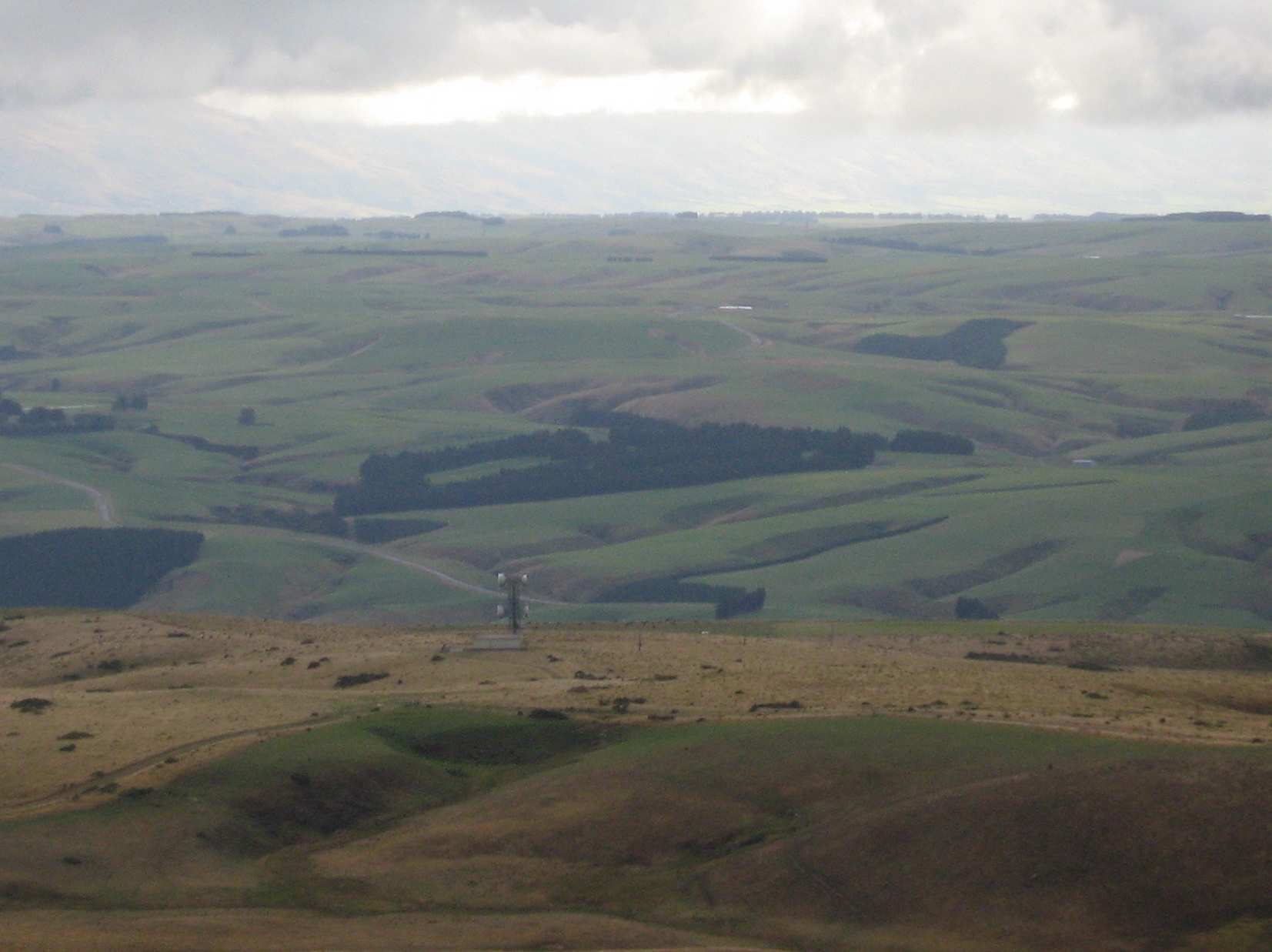
From here, on the highest point (895 metres) we could see in all directions – 360 degrees. A huge fog bank right down the coast totally hid the sea and the Otago Peninsula, but the land was in clear view as far as the eye could see. What terrific scenery.
Margreet pic.
Lunch over we began the return journey, which meant retracing our steps. With an occasional brief rest/regroup stop, we were back past Big Rock, through the fence onto Horsehoof again, and down hill with a brief uphill bit to reach the cars.
A group of 13 happy trampers had had a great day, walking a total of 12 km. The perfect weather certainly added to the enjoyment of the day.
But, the tramp finished too soon (obviously too short), as it was necessary to stop in Outram for a while on the way home so that discussion that hadn’t had time to be had during the tramp could be concluded.
The leader was particularly pleased to have such a good turn out of trampers today – thank you to all. – Arthur.
19. 11/1/2017. Hikers. Maungatua Big Rock and Trig via Horsehoof. M. Leaders: George and Ian.
It wasn’t the best tramp to ease into after the relaxing holidays. However the easier programmed Kuri Bush beach walk had not taken the tide times into account. What to do? Something inland. George scouted Saddle Hill (summit not tackled by the Hikers since 2010) and Horsehoof (last done by the Hikers 2011). Relevant property owners for Saddle Hill could not be reached, so Horsehoof and Big Rock then.
Seventeen turned out on the day. A respectable number, given that some members were still on holiday. Admittedly the road entrance to Horsehoof is easily missed, as happened to some on the day, but eventually all the cars arrived and drove on up to park in the high paddock where the FWD track to the top corner of the station starts. At about 690m here, we had already made good inroads on Maungatua’s Big Rock elevation of 880m.
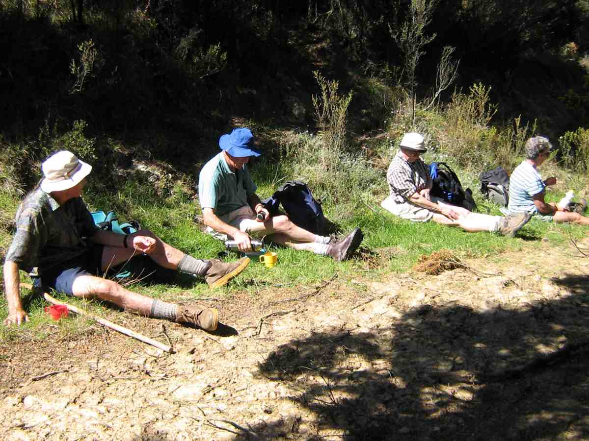
It was still a bit early so we trudged through that first unavoidable gully to merelyregain the cars’ height a kilometre or two further on, finding a bank to sit on for morning tea.
(Clive pic.)
No more gullies now but it was up, steadily up, with frequent regrouping stops to eventually reach the Horsehoof Station’s top corner. At 865m effectively all climbing was behind us. We had gained 225m since leaving the cars. One of us elected to stop here and await the return of the others, and Mollie, who hadn’t wanted to miss the chance of revisiting Horsehoof, was happy to keep her company.
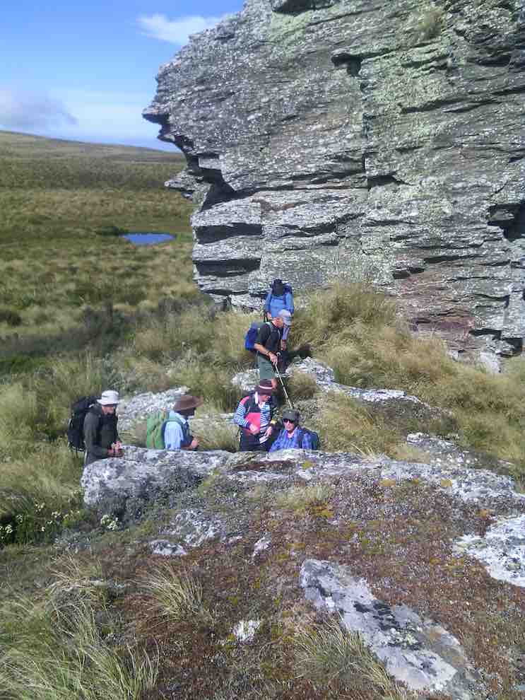
Now it was 15 who scrambled through the fence onto the Maungatua reserve to push on through the tussock and dracophillum (turpentine bush) till we reached a point opposite to the Big Rock.
(Clive pic.)
Here, along with George, ten were happy to make this their destination stop,
(Clive pic.)
while a remaining group of five carried on with an assurance it was only another half hour to the trig. W-e-l-l not exactly. More likely three quarters, as one found the going harder than others. But we got there! Or rather two did.
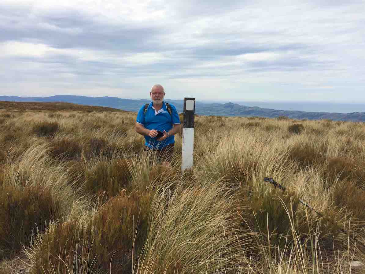
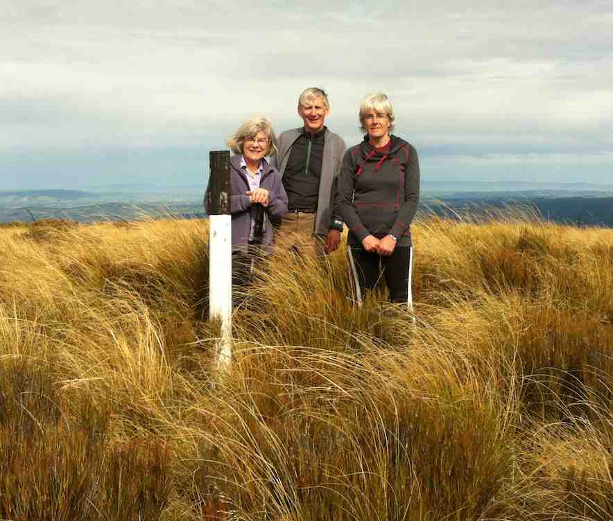
Made it! 895m.(Ian pic and caption.)
Too bad,the other three had stopped off short of the last rise and lunched. However with the encouragement of the trig returnees (or is it returners?) they were encouraged to push on so that they could say they had made it too. And they did!
On the return we discovered the hypotenuse short-cut that avoids a right angle in the fence and which we had missed on the way in due to overgrowth disguising it at its other end. A shame. It needs a fence indicator.
When we arrived at Big Rock, we discovered the ten others had long since given up waiting for us, and were back waiting for us when we straggled up the last weary slope up to the cars – at least weary for this writer.
So there it is. A good traditional tramp perforce resurrected for the hikers by an unfortunate tidal assesssment. And an enjoyable stop and chat at the Wobbly Goat to finish it off. And roll on the better weather. – Ian.
18. 10/2/2016. Maungatua Summit. Leader: Arthur H.

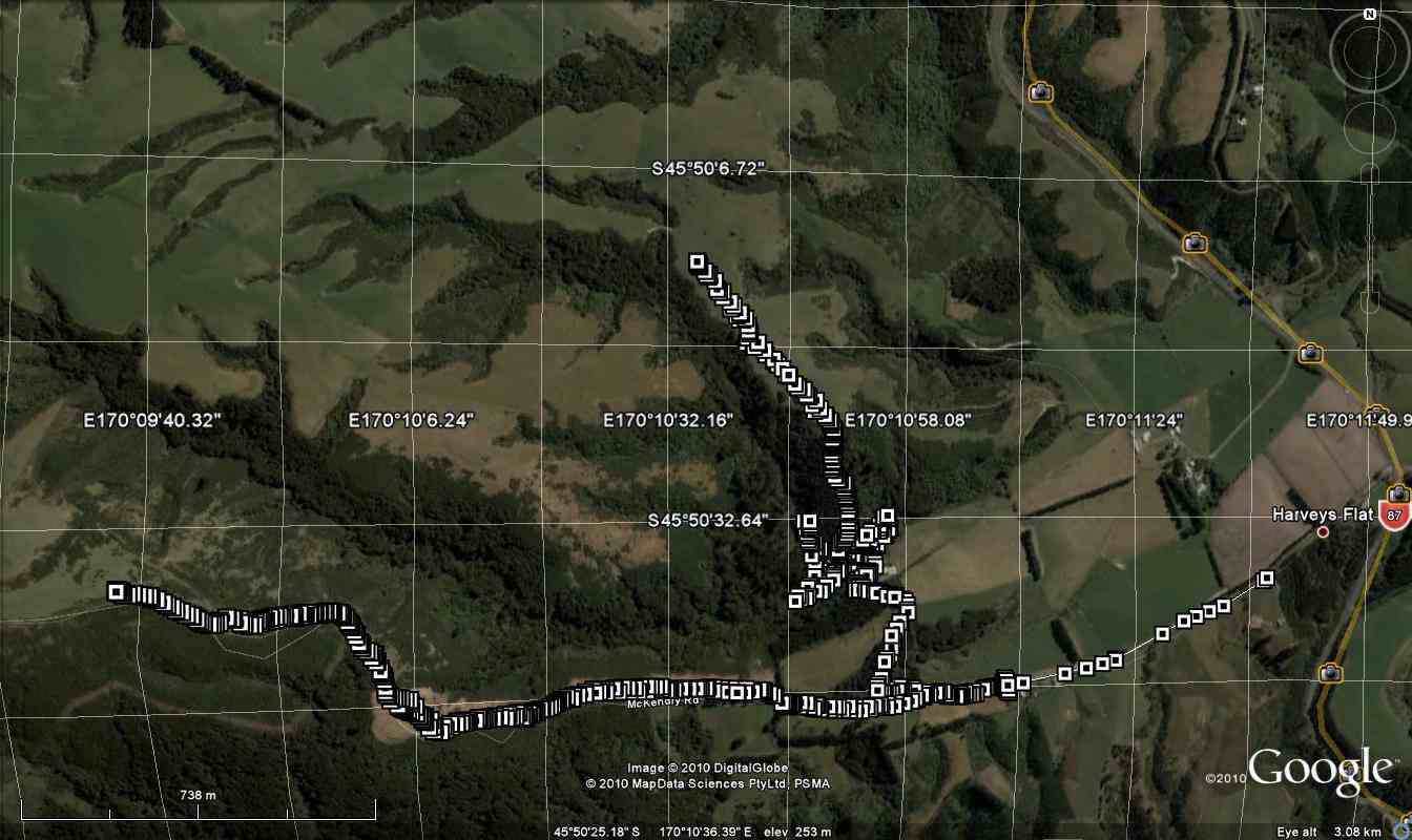
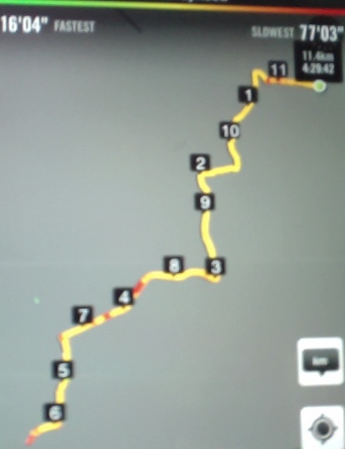
Horsehoof Station to maungatua peak. GPS of route, courtesy Ken. (Ken pic and caption) 13.2km; 3.7km/h; 3h 33m moving; total ascent 409m; max height 900m
Nine trampers set out in ideal conditions to conquer Maungatua. The day was sunny with some high cloud. The breeze was light all day – westerly, then changing to southerly for a while, and then died away altogether.
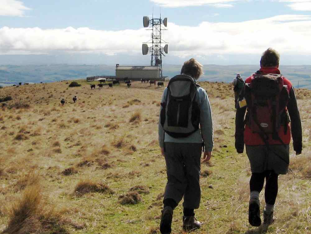
We drove in through Horsehoof Station, up the road towards the microwave. A car shuttle was set up by taking one car back 2-3 km, leaving it at the top of the hill above the woolshed.
We took the dozed farm track that winds its way up to the top of Maungatua, stopping for morning tea at a suitable spot.
We reached the top of the track, where the small shed and various aerials are situated, at 10.50 a.m. Climbing over the fence we were then in the DOC Reserve, which covers a large part of Maungatua.
From here there is a faint track heading to the summit, which is some 2.5 km away. This is undulating country.
We soon came to the large tor, and stopped for several minutes to inspect and photograph it.
Side trip to rock tor (Helen pic)
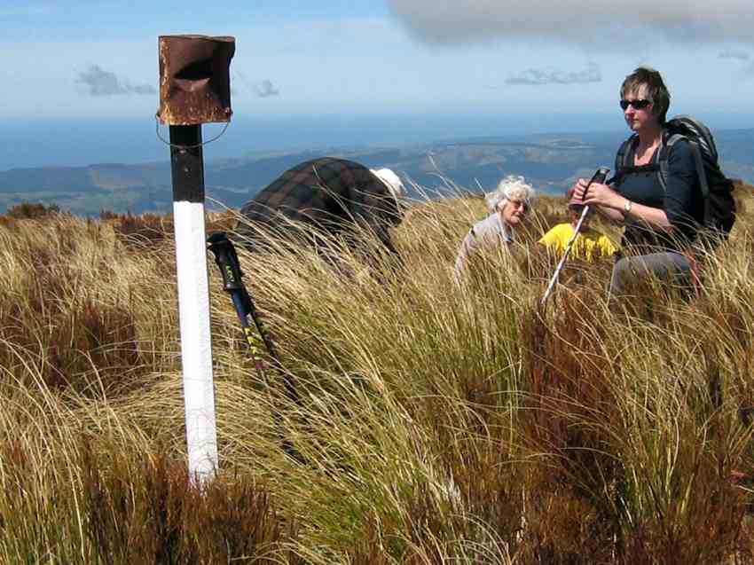
Continuing on along the track, which follows the fence line, we gained the summit a few minutes before 12.00 noon. A black and white painted post now marks the spot, …
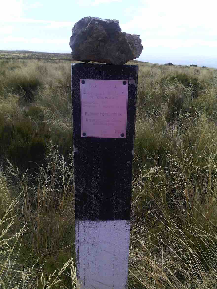
“Trig” post with rock placed on top by one of the party. (Helen pic)
… and is visible from a short distance. Sitting down in the tussock, we had a relaxed lunch on the spot. The slight breeze was just a tad cool, we noted.
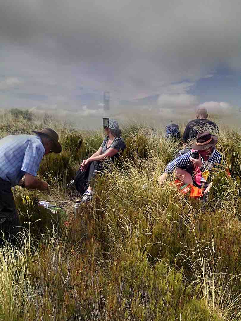
Lunch at the “trig”
From the summit there is a great 360 degree view, but unfortunately haze in all directions spoiled this somewhat.
Half of the group had a look over the brow, down in the direction of the 3 Kings -which isn’t visible. All of us then picked our way through the rough vegetation, in an easterly direction, to get a better view down on the Taieri Plain and Airport.
Making our way back up to the track, we returned along it to the shed and aerials, and over the fence. A brief stop here, where it was noted the altitude was 865m, compared to the 895m at the summit.
We now walked down a 4WD track through the tussock, following the western spur.
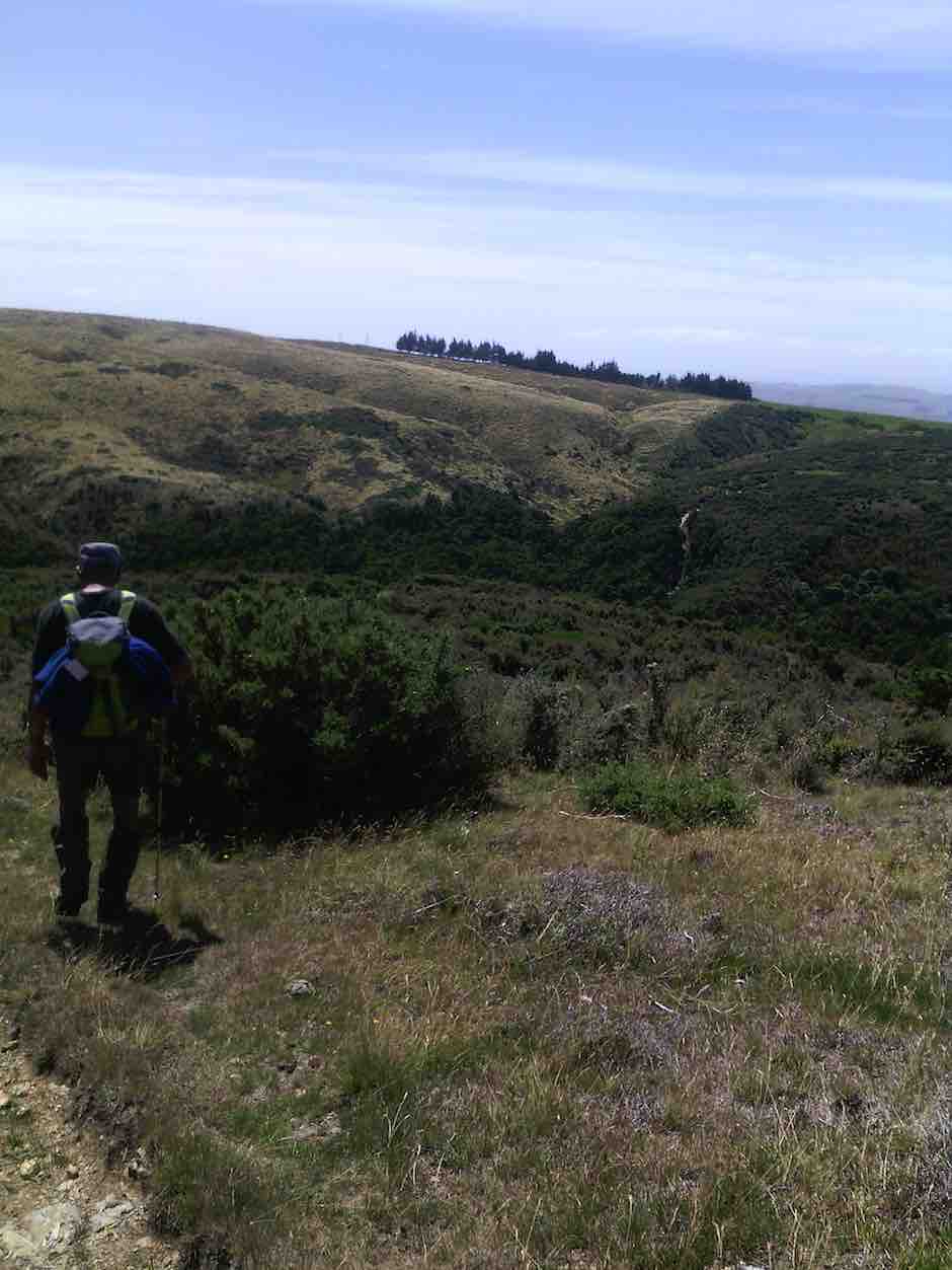
On fence line track well down to the Lee Creek gully showing ‘uphill grunt’ on other side. (Helen pic)
A restful stop was made at the bottom, in the shade of the beech trees at the north branch of Lee Creek. A short uphill grunt gave a “tang” to the end of our tramp, and we were soon back at the “shuttle” car.
All agreed that it had been a good tramp and an enjoyable day. This had been a first time for most.
Seven held a debrief at Outram on the way back home.
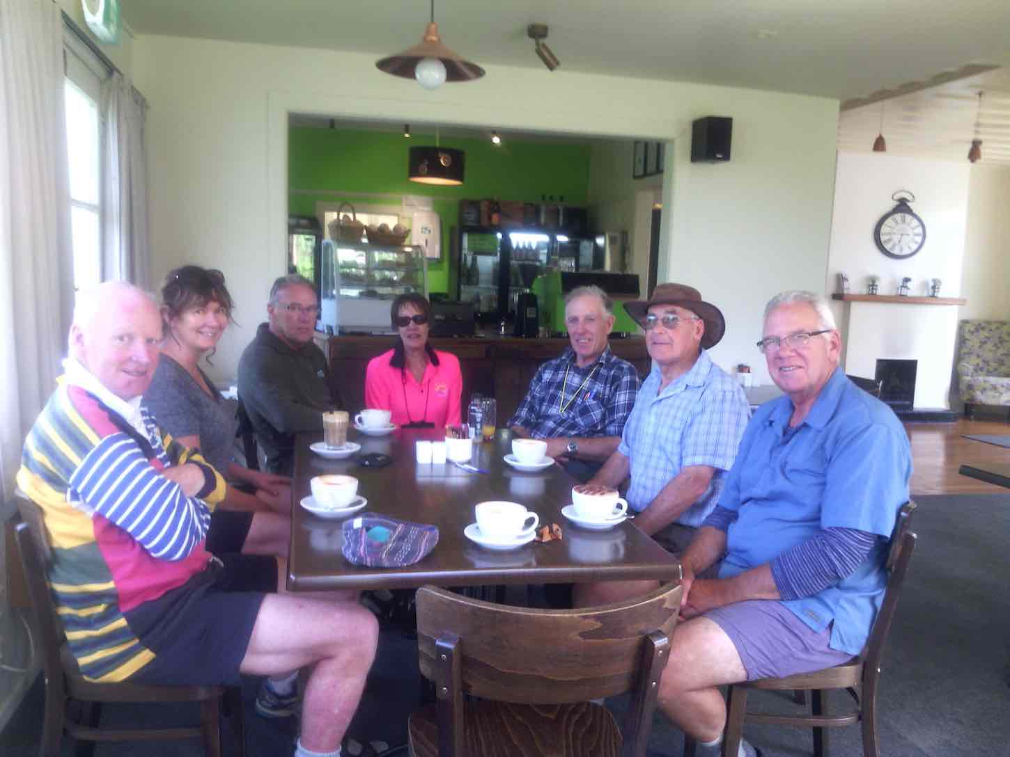
Coffee at Outram. (Helen pic)
The tramp distance was 13.2 km. – Arthur H.
GPS of route from car to trig
At the Maungatua Trig (1)
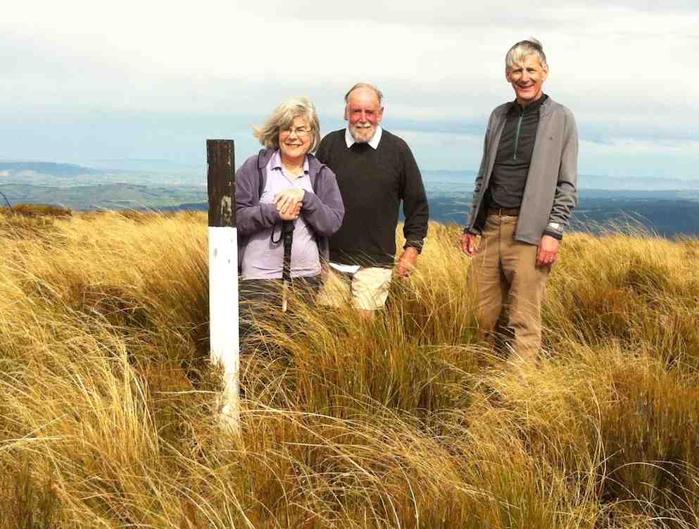
At the Maungatua Trig (2)
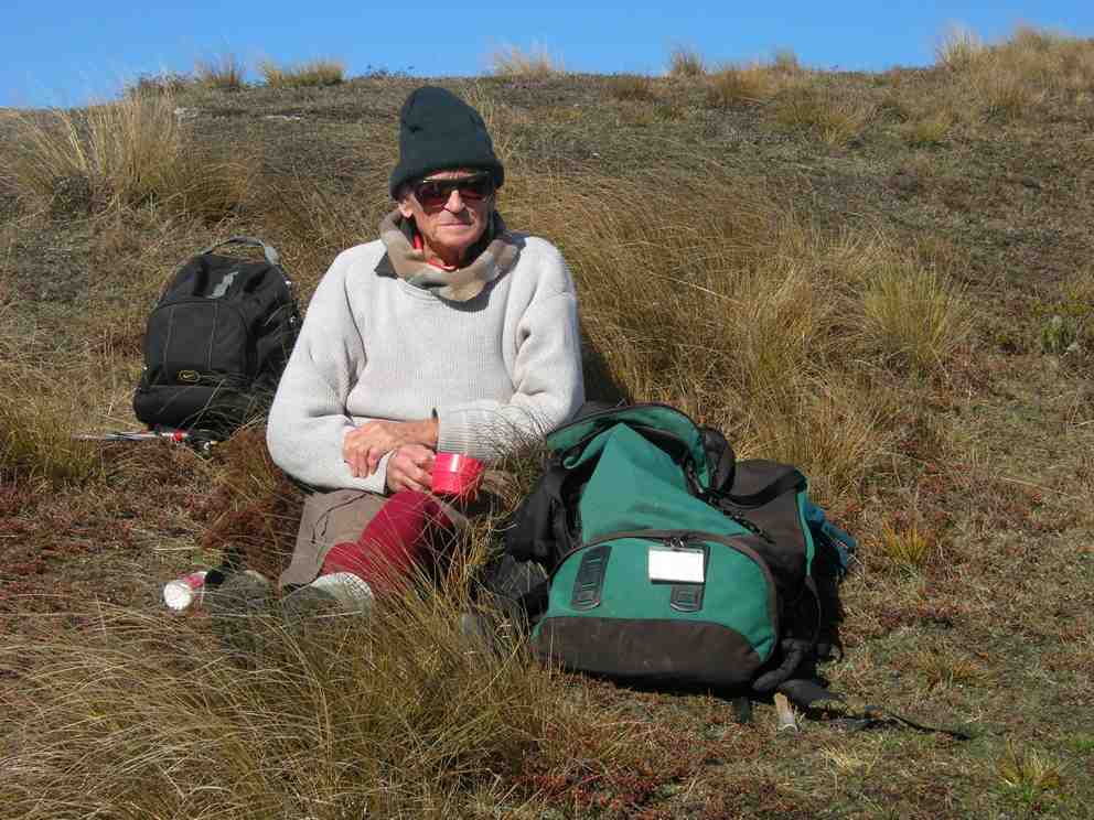
17. 4/5/2011. Both. Horsehoof upper paddock to Big Rock. Medium. Leader: George.
A sheltered lunch spot.
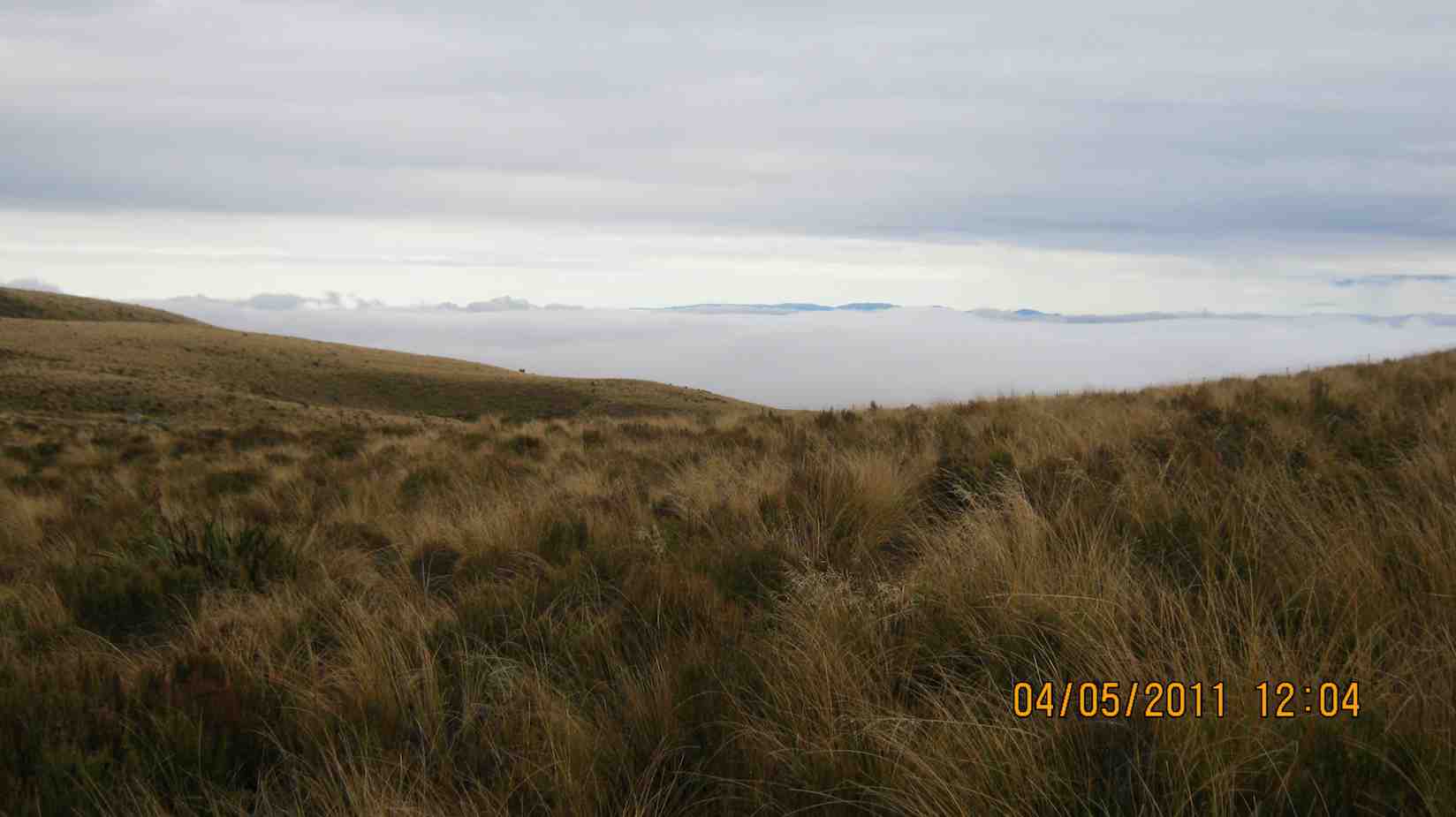
An interesting bank of fog in the west.
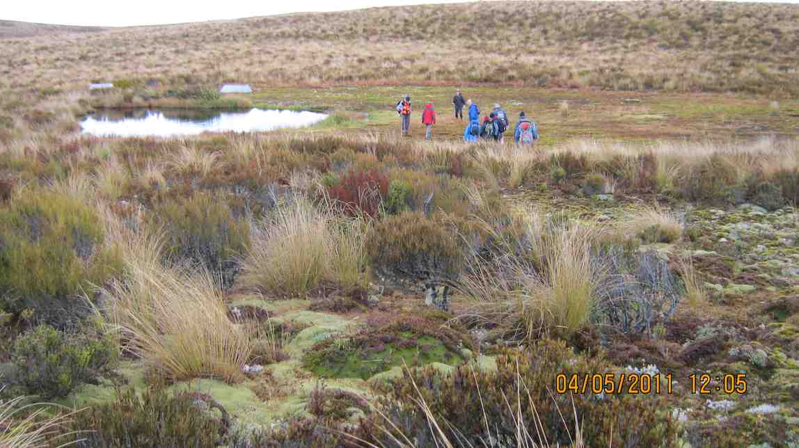
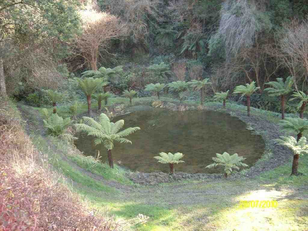
The tarn beyond the big rock.
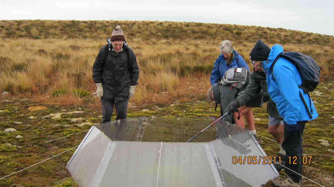
Obviously scientific, an exclosure on the tarn.
Morning Tea break. George. (Emma pic)
Keith and George at the Big Rock. (Emma pic)
Many were discouraged by the wet morning start, but 8 of us enjoyed a farm walk on what turned out to be an cold overcast day (which we were well wrapped up against) interspersed by sun at morning tea and lunch. From the regular parking spot, for a change we turned down steeply
click to enlarge
Descent to bridge
to cross the Woodside Creek upper tributary nearby

Woodside Creek
and to then climb steeply
Climb ahead
to enjoy a cuppa at the set of rocks a little way up.
Cuppa.
Then to carry on up to the top corner of the station. This was a route the club hasn’t taken for five years and more. We forewent going on to the big rock and tarn through the rather heavy wet dracophyllum we would have had to struggle through, so lunched at the top under the shelter of a bank
Lunch in sun
and returned by the more regular farm track.
Rock and Pillar Range in sun
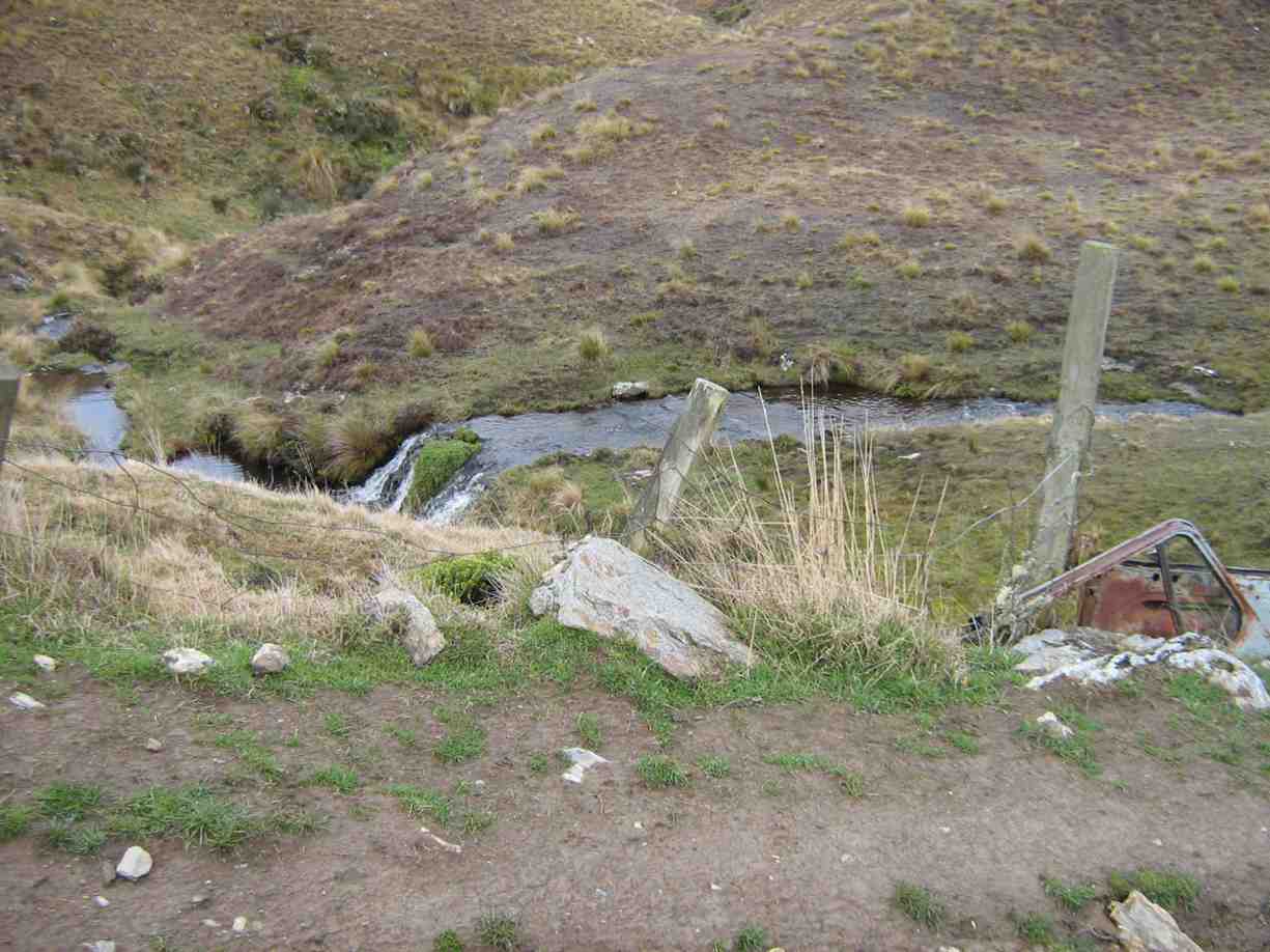
Recycled car bolstering bridge. Wee waterfall behind.
We all enjoyed a good tramping day but regretted there were not more to share the walk with. Bruce stood in for Marjorie who was indisposed on the day. Our thanks to Wendy and Bruce for their leadership. – Ian.
14. 12/11/2008 Trampers. Horsehoof Station, Maungatua Trig. Leaders: George, Ria.
This turned out to be a tramp from Horsehoof Station rather than from the advertised Allendale Farm. So it was simply up by the regular farm road to the Maungatua Trig and back.
click to enlarge
Decorated Trig. George, Hazel, Ria, Emma
Saddle Hill from Maungatua
What was different was the wind measuring masts
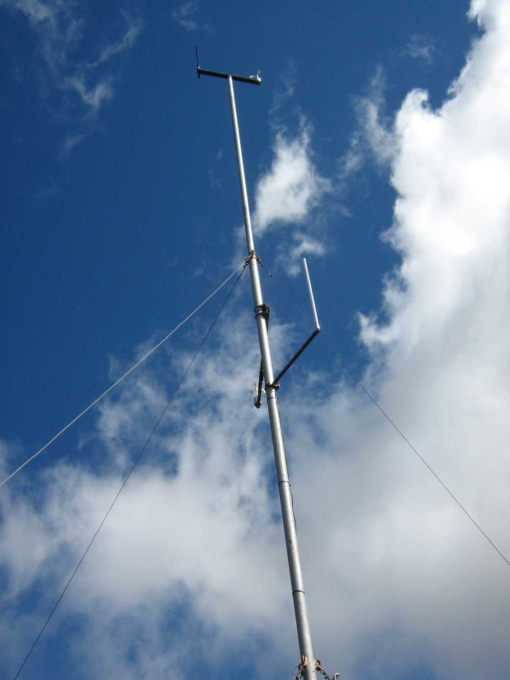
Mast for measuring wind?
and various markers presumably installed by Trustpower. A breeze pleasantly tempered the heat of the sun and 8 of us enjoyed a tramp in the tussocks and Maungatua top with the George making it easier and shorter by having the two cars parked further up the hill than on previous tramps. – Ian
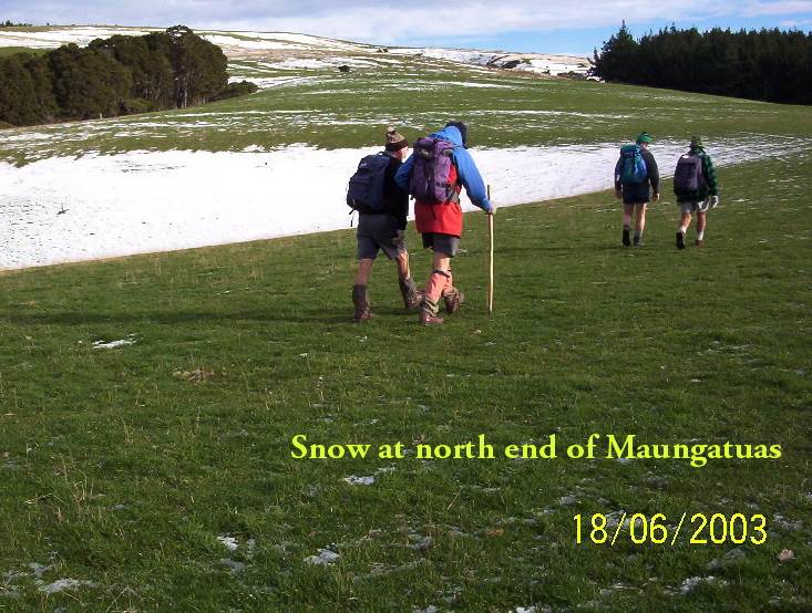
13. 27/8/2008 Trampers. Horsehoof Station Upland road-walk Leaders: Ian, Ken
Winter conditions decreed a firmer road walk in place of the anticipated soggy ground we would have encountered at the Flagstaff big rock. So it was Horsehoof Station for a look at the fast disappearing snow conditions.
click to enlarge
Drift snow remains. Ken
Seven of us set off from our cars parked down at the shearing shed and walked steeply up in the general Maungatua direction. It was a good walk in the fresh air with general sunny conditions turning to threatening clouds later. The breeze was fresh but sheltering in the lee of a gully made for a comfortable morning tea.
Lunch was on the sheltered side of the repeater station,
Emma and Glenys approaching the Microwave. George ahead.
reached by cutting across a couple of wet gullies swollen with fresh snow runoff.
The return. Bill, Pat, Emma
A shorter day but the sun was out most of the time and the views and company were good. – Ian
The return. Bill, Glenys, Emma.
Lex, Doug J, Arthur, Doug M
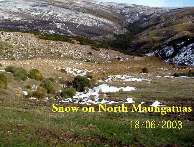
Snow on NE Maungatuas