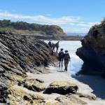
 15/01/2025. Akatore Creek to Taieri Mouth. Grade 3. Trampers. Leaders: Spen Walker and Jane Bruce.
We gathered at PJ Park on a fine sunny morning, and Phil welcomed us to the first trip of the year.
Taieri Recreational Tramping Club
Mid-week recreational and social walking group based in Mosgiel NZ
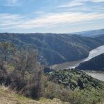 14/08/2024. Taieri Mouth Excursion. Grade 3. Hikers. Leaders: Bill Cubitt & Alex Griffin.
26 hikers gathered at Knarston Park on a beautiful late winter’s morning.
Continue reading “Taieri Mouth Excursion”
This grouping of Club tramps and hikes covers trips from Kuri Bush to Taieri Mouth beach. Kuri Bush is located on Taieri Mouth Road between Brighton township and Taieri Mouth. (map)
Background Information:
Road distances from Mosgiel carpark.
Kuri Bush – Taieri Mouth Beach. 2022 – 2012 (6 trips with 4 reports)
I seriously questioned my sanity on the drive from sub tropical Port Chalmers to Mosgiel for this weeks walk. The torrential rain and hailstones on the Southern Motorway left me with a sense of foreboding. However, 17 hikers eventually assembled at the meeting place at Knarston Park on Taieri Beach for what turned out to be a really enjoyable walk with the predicted rain showers non-existent.
Morning smoko was held on the verandah at Jay’s river mouth crib where we could admire the house extension at one neighbouring property and the dismantling of a Kauri boat on another.
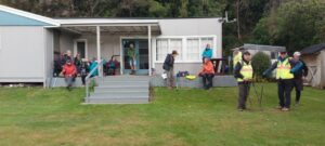
From there it was a pleasant river side walk on the Millennium Track and boardwalks before starting the grunt up the hill to the welcome seats where we had lunch before re-tracing our steps back to the cars.
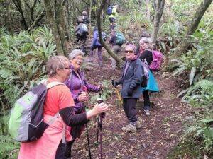
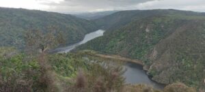
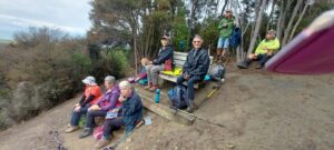
Consensus of opinion is that the grade should be re-classified as a 3.5 as Sir Edmund Hillary got a Knighthood for climbing hills that steep. The return to the cars was achieved without mishap and tiffin was taken by some at the Brighton Cafe.
Thanks to Dave Roberts for leading at a leisurely pace that made the uphill sections enjoyable. Total distance walked was 9.5km
Mike Webb

We followed the track into Livingstonia Park for morning tea, making use of all the facilities provided.
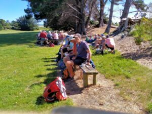
I was so relaxed I nearly forgot to share my bag of goodies…, but finally remembered, I must be getting older…. Quite a lot of interest was shown in the display boards as we left the Park and walked down ‘main street’ to the entrance to the Alan Green Wetland area.
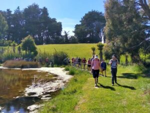
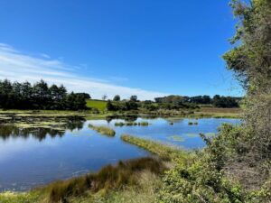
We dawdled and chatted around the wetland, negotiating the Number 8 wire gates….and off through the forest and the dappled light on the forest floor; what was the sweet scent in the air? Not cabbage trees, not Olearia Fragrantissima shrubs……The sun seemed even hotter when we emerged from the bush, to enjoy the panoramic views of the area.
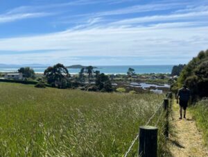
On the return, the group spread out to re-group at the third gate, but as our estimated return time to the Hall was slipping, initiative was shown by the ‘Hall’ team to drive to Coutts Gully road and pick us up and return to Knarston Park, and then the Hall.
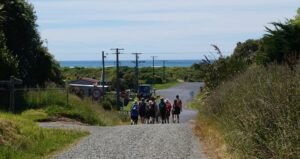
Everyone was accounted for and yes more folk had arrived down for lunch which was great.
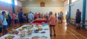
Following a moment’s silence to remember absent friends and family, followed by Ian Fleming’s grace, 55 folk enjoyed a delicious lunch, supplemented by chocolate goodies from Neil S, another with a near Xmas birthday. This was followed by an update from Anne Ward on the planning for the Bannockburn week in March. After lunch was cleared away Grant Shackell provided a generous bracket of Xmas music, with good crowd participation on occasions! Thank you, Grant.
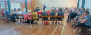
Thanks also to Jay and the team for setting and cleaning up the food and Hall, especially after not getting full access till after 10.30am.
Another very successful Xmas club outing and yes, the first walk for 2023 is the 11 January!
Ho ho
Phil K
13. 07/09/2022. Alanton Block of the Wenita Forests. Grade 2 – $8. Leaders: Esther & Karen, Alex & Bruce S.
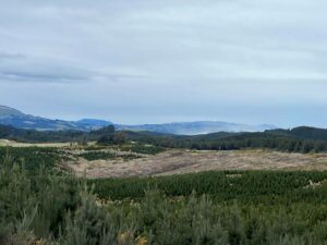
Forty-six Club members set off on the combined tramp in the Allanton Block of the Wenita Forests, 7.13 km south of the Big Rock School at Brighton.
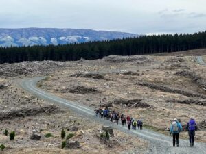
A welcome was extended to Roger and Barbara who are testing the water. We proceeded along Daphne Road passing the D7 sign and turned into Margaret Road.
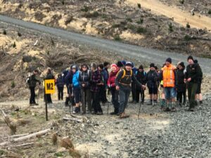
We had morning tea near a log at about 10 am.
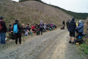
We then proceeded up Margaret Road to Big Stone Road and saw some logging trucks, with logs, emerging from Daphne Road.The lunch venue was changed from the planned spot near Margaret Road to near the start of Kathleen Road.
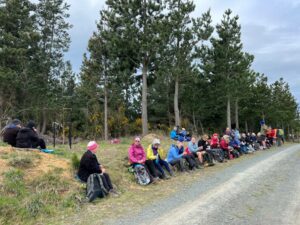
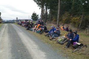
After lunch we proceeded down Kathleen Road and then along Margaret
Road back to the cars.
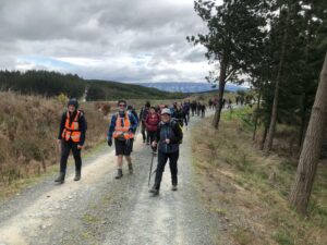
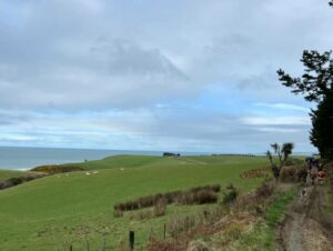
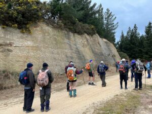
Distance travelled approximately 10 km. Climb 243 m. The weather remained cool but there was no rain. A large group had refreshments at the Brighton Café.
Our thanks are due to all the leaders: Karen, Esther, Alex and Bruce S. In addition, we thank Liz for her liaison with the Brighton Café and Wenita Forests for permission to enter the forest.
Bruce Spittle
12. 20 October 2021. Taieri Mouth. Leaders Bob Mitchell and Barbara Shackell
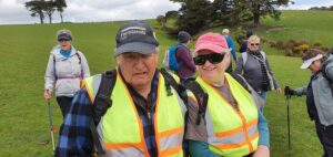
“Twenty (or was it 21?!) folk set out for the Akatore River bridge, where Hike Leader, Bob Mitchell, was to meet us at the anticipated road works traffic lights on the hill climbed at the end of a previous tramp. There was sufficient off-road parking on the south side of the bridge for all vehicles and we were quickly off, heading downstream to the coast like bits of colourful flotsam, passing as we went a wading spoonbill which took off and flew over us.
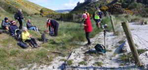
We settled ourselves for morning tea among nesting oystercatchers before tackling the short sharp climb into farmland above the coast. It was very pleasant strolling south in perfect weather. The forward motion stalled briefly to watch a group of talented surfers riding the regular rollers coming in.
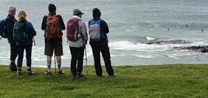
Unfortunately I was too taken with the conversation with a pleasant land-bound surfer to remember the name she gave the ‘point’.
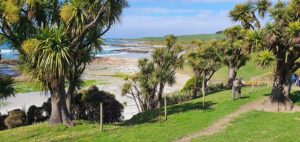
It’s obvious it’s not only trampers that the obliging farmer allows access across his paddocks. Eventually we set off further south, cross-country, until we dropped down onto a sheltered rocky spot for lunch where a seal kept a benign eye on his human companions. From the lunch stop the group gradually moved up and inland across lush clover filled paddocks and along farm tracks which brought us out onto the Akatore-Taieri Mouth Road.
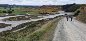
Several kilometres on, we were back at the vehicles with doubts about our ability to reach the Brighton Cafe which was expecting us about 2.15pm. Unfortunately, when we finally arrived at 2.55pm our fears were realised and we were declined service as they were closing at 3pm. From that point we made our own way back to Peter Johnstone Park carpark, and from there, home. Happy, a little sun/windburned, and feeling like we had actually walked the 12 km the fitbits suggested.
Thanks to Bob for his planning, and leading this day.
11. Taieri Mouth Millennium track, Alan Green track. Leaders Jay Devlin, Jan Butcher, Alec and Liz
The track is very narrow but well formed and is lovely to walk on. At the top of the gully you get lovely views of Taieri Mouth and surrounding farmland. On the way back Alec led us through a track off Livingstonia park where we had great sea views. We got back to the lunch venue 12.30pm. Arthur lead his group on the Millenium Track which many of us are familiar with. Thirty six folk enjoyed the walks while the remainder were happy to stay and catch up with those they hadn’t seen in a while. Jill, Jan B and their team of helpers stayed at the hall and set up the tables in a Christmas theme and put out delicious food brought by everyone.
10. 21/10/2020. Leaders Noi McCunn and Bob Mitchell
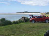
Photo and Caption Clive – “The road south from Taieri Mouth”.
Photo and Caption Clive – “View back from the coast.”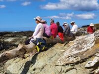
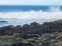
Photo and Caption Clive – “Lunch at the beach.”
9. 24/4/2019. Hikers. Taieri Mouth Area. Leaders: Chris, Dot, Alex and Liz.
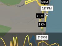
About 26 Hikers and Ramblers mustered under a cloudy sky by the Taieri Mouth Bridge to walk through hidden nooks and crannies of the Taieri Mouth area, led by Liz and Alec.
We started off along Riverside Road and cribs that are only a stones throw from the flowing river. A living history was related by Alec and Liz as we went past the cribs telling us stories of past and present inhabitants. We eased along a lower part of the Millennium Track to a sheltered glade where we sat down for morning tea. More stories were told of holidays spent along these banks and of income gleaned from whitebait or discarded beer bottles.
After morning tea we returned along Riverside Road to Hanning Place. This is a turn off that is easily passed without discovering Picnic Gully. Picnic Gully is a walk that used to be frequented by travelers from Dunedin more than a hundred years ago before the bridge was put across the Taieri.
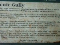
We didn’t miss it this time and were soon into the thickly covered bush walk
which ended in a scramble up a bank onto a newly bulldozed track up onto Finlayson Road. This track was very steep and soon had us all stopping to catch our breath.
We learnt that this gully walk crossed the land of Alan Gorton who allows us to cross other parts of his land when going to the old sawmill. We also acknowledge the work done on the track by the children of the nearby Taieri Mouth school.
Down the hill saw us entering Knarston Park and led us onto the beach. It was now close to low tide and we could see it would have been easy to walk out to Moturata Island, but not today. We continued along the beach and passed a recently erected old tree and masses of toa toa and pipi shells. Charlie and Jess had recorded their presence in Toa toa shells which would last only until the next king tide.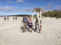
Lunch was now in sight. We arrived at Livingstonia Park as the sun broke through. There was discussion over lunch as to the name for the park be it Livingstone or Livingstonia. Those in the know confirmed it as Livingstonia and was a living war memorial to returned servicemen and women with amputations and other injuries.
After lunch we headed up Coutts Gully Road to a walk up through bush at Livingstone – Green bush walk and lagoon. Someone had taken a lot of time and trouble writing notices along the path explaining the history of the bush area. There was a great view from the top along the beach to North all the way to Saddle Hill.
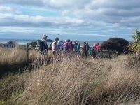
Once down the hill we skirted the lagoon to see geese spoonbills and ducks before heading back to the cars by the Taieri Bridge. We had walked nearly 12 kilometers in 4 1/2 hours. Some wished they could have taken longer as there was such a lot to see and enjoy. Maybe something to do on another day. Thanks Liz and Alex.
– Clive
8. 5/12/2017. Both. Livingstonia Park. Moturata Island. M. Leaders: Bob and Phil.
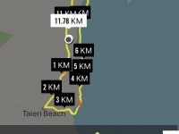
A combined 32 Trampers and Hikers ventured down through Brighton to Taieri Mouth , certainly not expecting traffic lights at Kuri Bush! Livingstonia Park was the starting point after being warmly welcomed by Bob and we set off towards Akatore passing a range of new property developments; just prior to moving on up the rise to the highest point of the walk, Bob detoured us onto the lawn, surrounded by sheltering trees, at the old NZ Forest HQ.
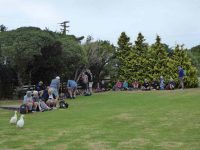
Some of us pondered the thoughts of this site having a ‘second coming’ with the new governments initiative of a billion trees…….
We then headed south with the breeze at our back, up the gradually increasing rise, enjoying the views of forest and farmland and sea, interrupted regularly by shouts of ‘truck’ and ‘car’. before Bob again turned us off ( clearly a man with great local knowledge and contacts!) and headed down through farmland to the seaside. Here we mounted the stile and various scouts attempted to find their way onto the beach. This was more easily achieved by Bob when his hands were free after helping at the stile!
A mix of short beach walks, interrupted by rocky headland became the norm, requiring some inventiveness to move through the formations,

as well as some rather intimate team bonding as some larger rocks were mounted! Well done everyone!
Eventually the main Taieri Beach came into view and on we set following the curve of the surf to the ‘bar’; nothing changes when tramping, initial hesitancy to getting the feet wet to plain old just barge on in or take the boots off. Rumours of a channel were probably proved correct as a ‘minor river’ was crossed before the main bar being traversed …

… and we reached the Island at around 12.30pm, to be greeted by large numbers of nesting gulls;

apparently the island was used to collect guano in the good old days, and you could understand why.
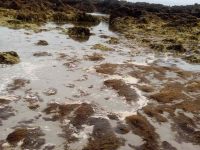
With low tide being over half an hour past, it was decided to return to Knarston Park for lunch, and shelter from the incessant sea breeze. This was a good decision as the ‘minor river’ had increased in volume, requiring river crossing techniques for some.
The scale of the bar was impressive, being much larger than thought, as were the patterns in the sand and rock formations both at the island and on the rocky headlands.
Following a late lunch, (more so because of the early morning tea!) everyone safely made their way back to the cars and met up with others who had completed a shorter walk.
I am reliably informed the full walk was 11.4 km and well, we won’t specify the altitude will we….
The day was very satisfyingly repleted at the new Brighton Café, where it seemed we had more than 32 folk chatting away!
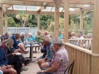
( Ice creams from next door more than welcome, as both shops are apparently owned by the same folk).
Ho ho and have a happy festive season. – Phil.
7. 26/6/2013. Hikers. Knarston Park. Moturata Island. Leaders: J Knox, P Clough
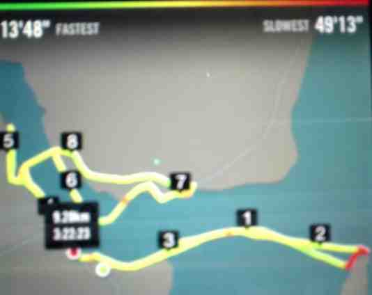
It was a treat of a day. Well, yes, a bit of a cold wind, but – the sandbar!
We parked, morning-tead at Knarston Park on concrete picnic table seats that were not at all warm.
Then out to the sandbar. The tide was super-low, half a metre below sea-level. The bar was broad as broad. And dry. We walked and walked. This writer was overwhelmed with the experience of being on such a wide and long stretch of sand so under the waves at other times. Eventually we reached the island.
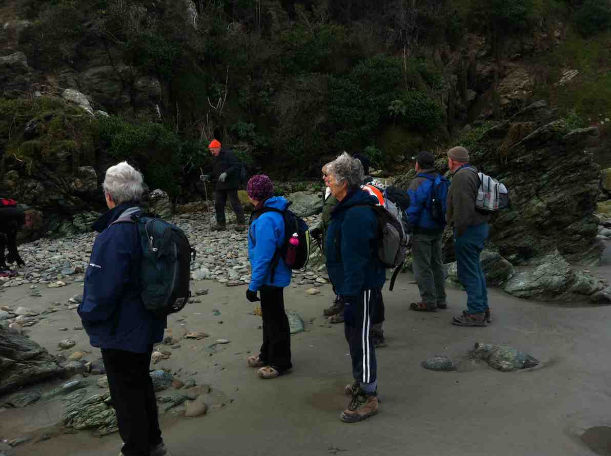
We sauntered round. The tide was so-o-o low we were assured of plenty of time before heading back. We headed to the rocks the north end of the islands and scrambled over them to see the surf breaking on the seaward side of the island.
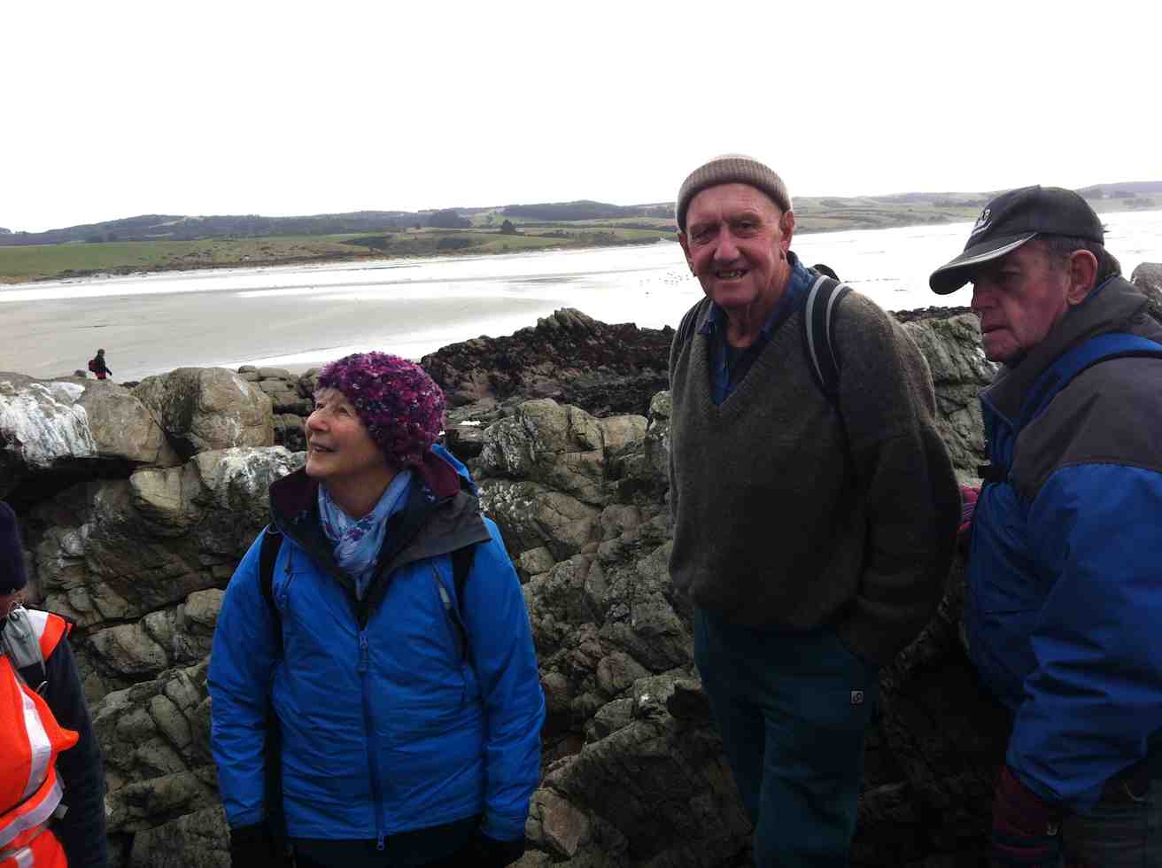
And then we sauntered back. Marvellous, as John Campbell would say.
The wind was still a bit sharp however, so we went back to the cars and on round the road past the fishing boats. A couple of fisherfolk said they had already noticed us and it was good to hear that locals keep a sharp eye out for the sandbar trekkers. Then on further to the start of the John Bull for lunch. (5km marker on GPS route map).

Back down and across the bridge to walk round the beach on the river’s true left. Yes, back to the cold wind, but it was behind us. We observed the cliffs below the houses until we thought it best to get off the beach. We climbed a set of steep large steps and up through a property and a wire fence to reach the highway at the top. (7km on map)
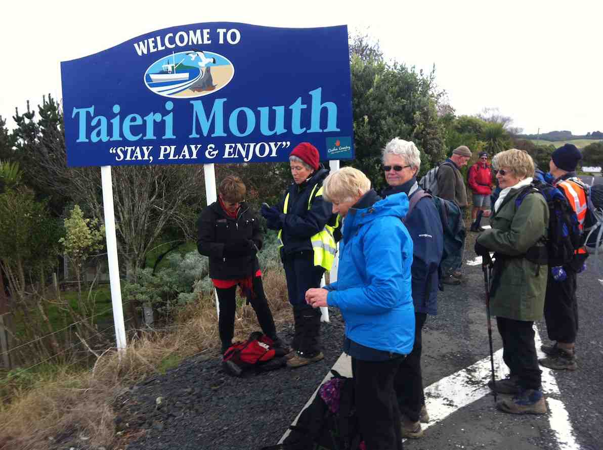
We took the road back, crossed the bridge and reached our cars at near the 10km mark. Thanks to Judy and Pam carefully checking out our chances the day before and their leadership on the day.
A most satisfying day. – Ian
6. 5/9/2012. Both. Knarston Park. Moturata Island – NOT! Leaders: Ian, Margaret.
5. 7/8/2011. Both. Taieri Mouth. Knarston Park. Beach Walk. Easy. Leaders: Lex, Graham.
4. 30/6/2010. Hikers. Taieri Mouth. Beach Walk. Easy. Leaders: Lesley G, Neil.
3. 17/1/2007. Hikers. Taieri Mouth Easy. Leaders: Chris, Ray.
This page covers the Club tramps and hikes in the area South Coast and groups together trips to the Millennium Track located on Lower Taieri River commencing at Taieri Mouth. (map)
Background Information:
Road distances from Mosgiel carpark.
TRTC Grading Information – trips to the Millenium Track are generally given a TRTC grading of 3. This is indicative only, as depending on the track conditions, allocation of gradings can differ from this. For more detailed analysis refer to Grading Information.
Taieri River Geology for some background information.
Legends of the Lower Taieri includes a section about John Bull if you persist in reading down far enough.
23/04/2025. Taieri Mouth/Millennium Track. Grade 3. Hikers. Leaders: Linda Partridge & Bill Cubitt.
John Bull Gully Track and Millennium – from Henley and Taieri Mouth (1993 – 2016, 17 trips with 6 reports).
Taieri Mouth – Inc Millennium, Moturata Island, Akatore, Alanton Block (1989 – 2023, 15 trips with 13 reports including 29/03/2023 Millennium Track).
No. 38 on old hardcopy list of 113 club tramps. “John Bull Track to River. J Shaw. Year Round”
Location: 31.8 km.
Click Taieri River Geology for background information.
Millennium Track from Taieri Mouth – Information and Trips Library
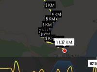
Millennium Track – combined trip Wednesday 5th October 2016-10-05
A dampish morning did not deter 40 intrepid club members who boarded the bus at the Bush Rd car park promptly at 9am. Packs were stowed in the luggage compartment and our driver Richard transported the happy crew out to Highway 1 and along to Henley and the start of the track – well, almost the start. 24 hikers disembarked in persistent light rain and trudged along the road for 45 minutes to a morning tea stop on the veranda of the white house just over the style, at the true beginning of the track.
The remaining 16 bods (and the bus) departed for Taieri Mouth.
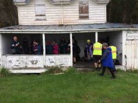
The upward plod soon began and we were glad it wasn’t too hot. The light rain continued but there was no wind and it was pleasant for tramping. It was lovely in the bush with plenty of bird song and glimpses of the river below as we climbed.
A couple of solid hours saw us at the junction down to John Bull Creek, where it was unanimously decided not to descend, but to press on to the top for lunch. Which we did, collapsing gratefully for welcome food and drink. The rain had stopped and a pleasant break was had, with chocs to celebrate Alec’s recent birthday.
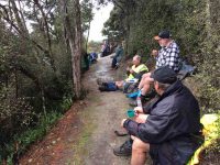
Then down, and down, with a few inadvertent sit-downs, and the loss of a couple of impatient members who tried to take the direct route….it was quite slippery. No harm done, and we were soon back by the river for the last plod out to the road. The bus parked by the bridge was a welcome sight.
Nine cheerful souls on the bus had had a pleasant few hours meandering round Taieri Mouth and catching up on gossip, and there was no sign of the hardy seven trampers.
Thanks to hiking leaders Bob and Doug and tramping leader Arthur. It was a great day out, well-supported and enjoyed by all, and rounded off with a riotous session for coffee for 23 at Topiary. – Judy.
Continuing on it was up and down, as the track flows, and then up to the high up seat where we stopped for a little while. This spot overlooks the river to advantage
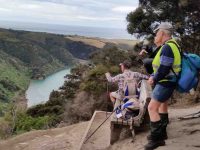
and also views away to the north too.
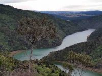
For example, Mount Cargill stood out in all its glory, with its mast on top.
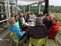
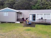
An hour after leaving the high up seat we reached the track’s end. We were invited to have our lunch outside at Jay’s nearby house (she didn’t have the key with her), which we found a most pleasant and suitable place. – Thanks, Jay.
15. 9/9/2015. Trampers. John Bull and Millennium from Taieri Mouth.
This tramp was done in place of the one scheduled, as I could not get permission from the farmer to do the tramp that was on the program.
Ten of us arrived at the Taieri Mouth car park, & set off along the riverside track. We had quite a late morning tea stop at the wooden seat at the top,…
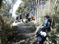
…before going down to John Bull Gully, where we had a short break. Then it was on along the Millennium track towards the Henley end. We arrived at the picnic spot down by the river, & had lunch there…
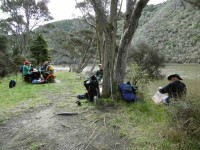
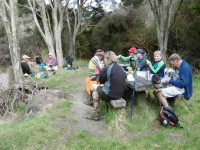
…before setting off to do the remainder of the track, though to Wardells Cottage, & the car park beyond. [just to do the full track distance]
After a short break here, it was back the way we had come. We stopped at the seat at the highest point again for a rest & refreshments, after climbing the quite steep track up from John Bull Gully. We then made our way back to the cars at Taieri Mouth.
The weather was fine all day, but the track was quite muddy in places, & care is needed on the downhill muddy slopes.
It was good to hear the comments from some, that they had enjoyed the walk.
Although many in the group had walked both tracks in the past, it was the first time that quite a few of us had walked the full distance, there & back.
Walked 16.4km; ave 3.8km/h; moving time 4h 15mins; climbed 760m. – Ken.
14. 21/12/2011. Trampers. John Bull and Millennium from Taieri Mouth.
The hikers’ walk from Taieri Mouth on the John Bull track took a turn for the worse when 2hrs into the walk Elaine had to stop because of chest pains etc.
Leaving Elaine in the professional care of Bev, Lesley G and Neil, the remaining 10 carried on to higher ground to try and get cell phone coverage. This proved more difficult than anticipated and it took Lesley S to search for higher open area off the main track before finally making contact with the emergency service.
After the helicopter landed a paramedic ran down the track to where Elaine was lying. After her condition was checked and she was stabilized, she was attached to the paramedic and winched through a small gap in the bush canopy into the helicopter. – Fred
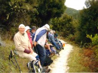
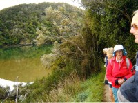
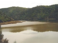
Update from Elaine.
Hello Ian