Waihola Area – Information and Trips Library

Scope:

This page of club tramps and hikes in the area South via SH1 and groups together trips to the area around Lake Waihola, including Waihola Hill and Lawlor Farm. (map)

Background Information:

Road distances from Mosgiel carpark.

Access Permissions are required for trips incorporating Lawlor Farm – refer guidelines

TRTC Grading Information – trips incorporating these tracks are generally given a TRTC grading of about 3. This is indicative only, as trips can be allocated a higher or lesser grading depending on the route taken. For more detailed analysis refer to Grading Information.

How To Get There:

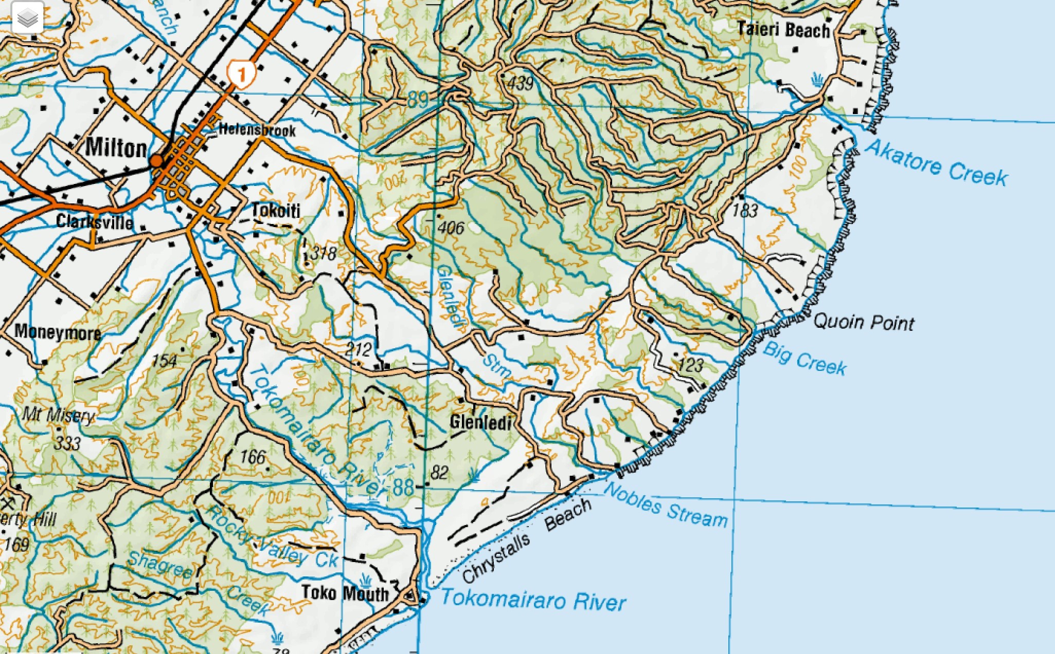
Travel south on SH1 to Waihola township located about 5 minutes after the flood free section of the highway (past the bridge over the Waipori River). Turn right just past the tavern and proceed to the domain where there is ample parking and toilets. The boardwalk / cycleway track commences from the domain itself.

Links to tramps and hikes in this area:

02/07/2025. Mid Winter Lunch at Waihola. Grade 2. Combined.  Leaders: Noel McRandle, Dave Roberts, Gwenda Farqharson, Karon Reid.

04/12/2024. Waihola – new cycleway/walk. Grade 3. Trampers.  Leaders: Heather Kirk and Jenny Wilton

Waihola Walk. 2024 – 2010. (4 trips, 3 with reports and photos, 1 with photos only)
Waihola Hill and Lawlor Farm. 2023 – 2022. (2 trips with reports and photos)
Finlayson, Wilkinson, Waihola, Skyline Roads. 2012 – 1988 (16 trips, 1 with report and photo, 1 with photos only, 14 no reports or photos)

Deep Creek – Information and Trips Library

Scope:

This page of club tramps and hikes in the area West via SH87 (inland on the south side of SH87) groups together trips to Deep Creek. (map)

Background Information:

Road distances from Mosgiel carpark.

TRTC Grading Information – trips incorporating these tracks are generally given a TRTC grading of 4. This is indicative only, as trips can be allocated a higher or lesser grading depending on the route taken. For more detailed analysis refer to Grading Information.

Access Permissions are required for trips to Deep Creek – refer guidelines

Deep Creek Water Scheme Pipeline history.
Further background information behind Deep Stream project

How To Get There:

Follow State Highway 87 from Outram to the Clarks Junctions turn off. Turn left onto the Old Dunstan Road which will take you past Rocklands Station and continue to the gate of the Te Papanui Conservation Park (managed by DOC).

Links to tramps and hikes in this area:

06/11/2024. Deep Creek Weir. Grade 3. Combined.  Leaders: Barbara Shackell, Wendy Langley, Carolyn Pridham, Sue Johnstone.

Deep Creek Weir from Old Dunstan Road past Rocklands. 2023 – 1989 (19 trips, 8 with reports and photos, 9 with no reports, 2 with photos only)


Heenan Road to the Maungatuas and the Three Kings – Information and Trips Library

Scope:

This page of club tramps and hikes covers trips West via SH87 which includes trips from Heenan Road to the Maungatuas and the Three Kings. (map)

Background Information:

Road distances from Mosgiel carpark.

Access Permissions maybe required as this trip (Heenan Road) ventures over a working farm – refer guidelines

TRTC Grading Information – trips incorporating these tracks are generally given a TRTC grading of 3. This is indicative only, as trips can be allocated a higher or lesser grading depending on the route taken. For more detailed analysis refer to Grading Information.

How To Get There:

From Outram turn left onto Allanton Road then right onto Huntly Road – this runs into Maungatua Road. Proceed to McLaren Road on the right, this in turn runs into Heenan Road.

Links to tramps and hikes in this area:

30/10/2024. 3 Kings from Heenan Road. Grade 3. Hikers. Leaders Dave Roberts Neville Griffiths.

Tramps Incorporating Three Kings. 2021 – 1989 (26 trips, 6 with reports, 1 with photos only, 19 with no reports)


Dunedin City Town Belt areas – Information and Trips Library

Scope:

This page of club tramps and hikes in the Dunedin Central City area groups together trips Town Belt and includes Bellknowes, Bullock Track, Cosy Dell, Olveston, Robin Hood Park, Unity Park.

Background Information:

Road distances from Mosgiel carpark.

There is a heap of info on Google if any one wants to find out about the town belt, Olveston, and any of the grounds like Robin Hood. Also the Dunedin Amenities Soc. have a wonderful web page as well.

Links to tramps and hikes in this area:

Street Walk: Town Belt areas. 2024 – 2008 (11 trips with reports and photos)


Yellow Ridge, The Gap, Gap Ridge – Information and Trips Library

Scope:

This page of club tramps and hikes in the Silver Peaks area groups together trips to Yellow Ridge (map) including Gap Ridge, The Gap, Yellow Hut and the South Branch of the Waikouati River

Background Information:

Road distances from Mosgiel carpark.

TRTC Grading Information – trips to Yellow Ridge, The Gap etc are generally given a TRTC grading of 5. This is indicative only, as depending on the route taken, allocation of gradings can differ from this. For more detailed analysis refer to Grading Information.

Silver Peaks Forest for background information on the area.
Accessed from Mountain Road from old forest HQ 6 hr ret, Route, DOC and private land.

How To Get There:

Proceed via the Northern motorway to Waitati and turn left onto Double Hill Road (just past the store on the left at the end of the motorway), which joins Steep Hill Road. Access to Yellow Ridge route is located off this road.

Links to tramps and hikes in this area:

19/03/2025. Yellow Ridge via Walkers Road, River Track/out via Tunnel Track. Grade 5. Trampers. Leader: Ross Davies.

Tunnels Track, Yellow Hut, The Gap, Gap Ridge. 2021 -1997 (8 trips, 6 with reports and photos, 2 with no reports)


Bull Creek, Quion Point – Information and Trips Library

Scope:

This page of club tramps and hikes in the South Coast area groups together trips to Bull Creek and Quion Point. (map)

Background Information:

Road distances from Mosgiel carpark.

Access Permissions are required as trips to Quion Point / Bulls Creek venture over a working farm – refer guidelines.

“quoin” definition:
1. An exterior angle of a wall or other piece of masonry.
2. Any of the stones used in forming such an angle, often being of large size and dressed or arranged so as to form a decorative contrast with the adjoining walls.

TRTC Grading Information – trips incorporating these tracks are generally given a TRTC grading of  2. This is indicative only, as trips can be allocated a higher or lesser grading depending on the route taken. For more detailed analysis refer to Grading Information.

How To Get There:

To reach Quion Point take the Taieri Mouth Road from Brighton, across the bridge at Taieri Mouth. Continue on Moturata Road and onto Akatore Road, past Akatore Creek and turn left onto Quoin Point Road.

Links to tramps and hikes in this area:

Quoin Point Bull Creek. 2023 – 1996. (16 trips, 7 with reports, 1 with photos only, 8 with no reports or photos)


Inch Clutha, Kaitangata – Information and Trips Library

Scope:

This page of club tramps and hikes in the South Coast area groups together trips to Kaitangata and Inch Clutha (map)

Background Information:

Road distances from Mosgiel carpark.

TRTC Grading Information – trips incorporating these tracks are generally given a TRTC grading of about 2. This is indicative only, as trips can be allocated a higher or lesser grading depending on the route taken. For more detailed analysis refer to Grading Information.

How To Get There:

Take SH1 south to the Kaitangata turn off (well sign posted) and turn left onto the road taking your to Kaitangata township. Take Clyde Terrace along side the river and cross the bridge onto Riverside Road. Continue on this road and turn left onto Telegraph Road. Turn left onto Centre Road and continue to small car park by boat ramp to the Clutha River.

Links to tramps and hikes in this area:

02/04/2025. Inch Clutha. Grade 2.5. Combined. Leaders: Phil Keene, Graeme Souter, Bruce & Jenny Wright.

Kaitangata. 2003 – 1992 (3 trips. 1 trip (14/9/2023) as guests of Trixie Trampers (Blaclutha) with report and photos)


Three Mile Hill Forestry Tracks – Information and Trips Library

Scope:

This page of club tramps and hikes in the area of Whare Flat groups together trips to the Three Mile Hill Forestry Tracks.

Background Information:

Road distances from Mosgiel carpark.

Permission is required – see Three Mile Hill walking track 2001 link below

Links to tramps and hikes in this area:

18/09/2024.  Three Mile Hill Forest. Hikers.  Leaders: Bruce Spittle & Bill Cubitt.


Three Mile Hill walking track. 2001 (1 trip no report)


Wakari, Roslyn, Mornington, Kaikorai – Information and Trips Library

Scope:

This page of club tramps and hikes in the Dunedin Central City area groups together trips incorporating Roslyn, Mornington, Wakari, Highgate, Kaikorai and surrounds.

Background Information:

Road distances from Mosgiel carpark.

Links to tramps and hikes in this area:

25/09/2024. Wakari / Kaikorai Loop. Hikers Leaders: Jenny Finnerty and Ady Whitson

Street Walk: Roslyn and Kaikorai. 2023 – 1998 (3 trips, 1 with report and photos)
Mornington Ramble. 2023 – 2008 (7 trips, with reports, 6 with photos)
Mornington – Southern Cemetery. 2008 (1 trip with report)
Street Walk: Wakari. 2008 (1 trip with report and photos)


Rosella Ridge – Information and Trips Library

Scope:

This page of club tramps and hikes in the Silver Peaks area groups together trips to Rosella Ridge.

Background Information:

Road distances from Mosgiel carpark.

Links to tramps and hikes in this area:

Rosella Ridge. 2024 – 1992 (9 trips, 8 with reports and photos)


Raingauge Spur – Information and Trips Library

Scope:

This page of club tramps and hikes in the Silver Peaks area groups together those trips on the Raingauge Spur. (map)

Background Information:

Road distances from Mosgiel carpark.

Access to the Raingauge Spur can be made via Rollinsons Road which will require a key to the gate approx. 2 km’s from the “Elbow” where the track starts. A key is currently held by the clubs President.

Links to tramps and hikes in this area:

18/09/2024  Raingauge Ridge – Steve Amies. Grade 4.5. Trampers.  Leaders: Neil Hodgkin and Sarah McCormack.

Rain Gauge Spur via Picnic area, Nth Coal, Racemans. 2009 – 1998 (8 trips, 1 with a report, 1 with photos only, 6 with no reports / photos)


Pulpit Rock – Information and Trips Library

Scope:

This page of club tramps and hikes in the Silver Peaks area groups together trips to Pulpit Rock. (map)

Background Information:

Road distances from Mosgiel carpark.

TRTC Grading Information – trips incorporating these tracks are generally given a TRTC grading of about 4. This is indicative only, as trips can be allocated a higher or lesser grading depending on the route taken. For more detailed analysis refer to Grading Information.

Silver Peaks Forest for background information.

How To Get There:

There are any number of tracks within the Silver Peaks that will reach Pulpit Rock. Arguably the most common way is via the Possum Hut track.

Proceed via the Northern motorway to Waitati and turn left onto Double Hill Road (just past the store on the left at the end of the motorway), which joins Semple Road where there is several access points to the Possum Hut track.

Links to tramps and hikes in this area:

14/05/2025. Pulpit Rock. Grade 4. Trampers.  Leaders: Graham Thurlow, Lyn Keene.

Green Hut, Pulpit Rock. 2023 – 1988 (10 trips with reports and photos, 13 with no reports).
Shuttle: Mountain Road, Pulpit Rock, Long/Powder Ridges, Whare Flat. 2019 – 1998 (3 trips with 1 report and photos, 2 trips with no reports)


Sinclair Wetlands – Information and Trips Library

Scope:

This page of club tramps and hikes in the area West via SH87 (Maungatua, Waipori River, Berwick) groups together trips to the Sinclair Wetlands (map)

Background Information:

Road distances from Mosgiel carpark.
Official Sinclair Wetlands website.
Hori Sinclair and his wetlands’origin(1st paragraph only, of treatise linking its surrounds prehistorically with Kai Point Coal Mine)

Links to tramps and hikes in this area:

Sinclair Wetlands. 2024 – 1990 (5 trips with 4 reports)


Frasers Gully – Information and Trips Library

Scope:

This page of club tramps and hikes in the Central City area groups together trips from Frasers Gully Reserve, incorporating Friends Hill to Wingatui Racecourse including the Wingatui Tunnel. (map)

Background Information:

Road distances from Mosgiel carpark.

TRTC Grading Information – trips incorporating these tracks are generally given a TRTC grading of about 3. This is indicative only, as trips can be allocated a higher or lesser grading depending on the route taken. For more detailed analysis refer to Grading Information.

How To Get There:

Frasers Gully track is located at the end of Frasers Road off Kaikorai Valley Road. Carparking is available by the Roslyn Wakari Football club rooms at the start of the track.

Links to tramps and hikes in this area:

18/06/2025. Frasers Gully – Friends Hill. Grade 3.5. Hikers. Leaders: Janette Abbott and Maria MacNee.
20/11/2024. Frasers Gully / Friends Hill / Wingatui Tunnel & Return. Grade 3.5. Trampers. Leaders: Anne Ward and Lyn Keene.
09/10/2024. Fraser’s Gully. Grade 2.5. Hikers. Leaders Helen Morris and Heather Reid.


Frasers Gully. 2024 – 1989 (32 trips with 11 reports, 1 with photos only and 20 with no reports)