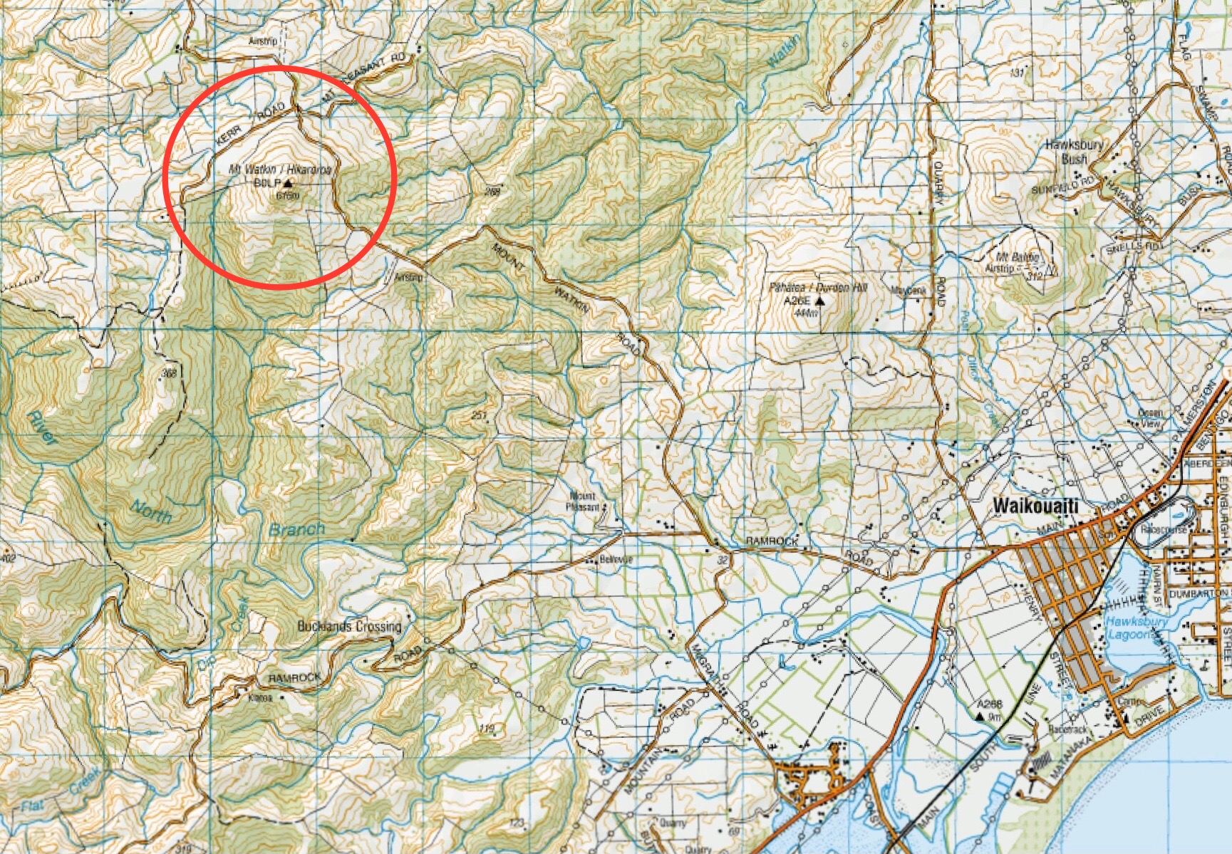
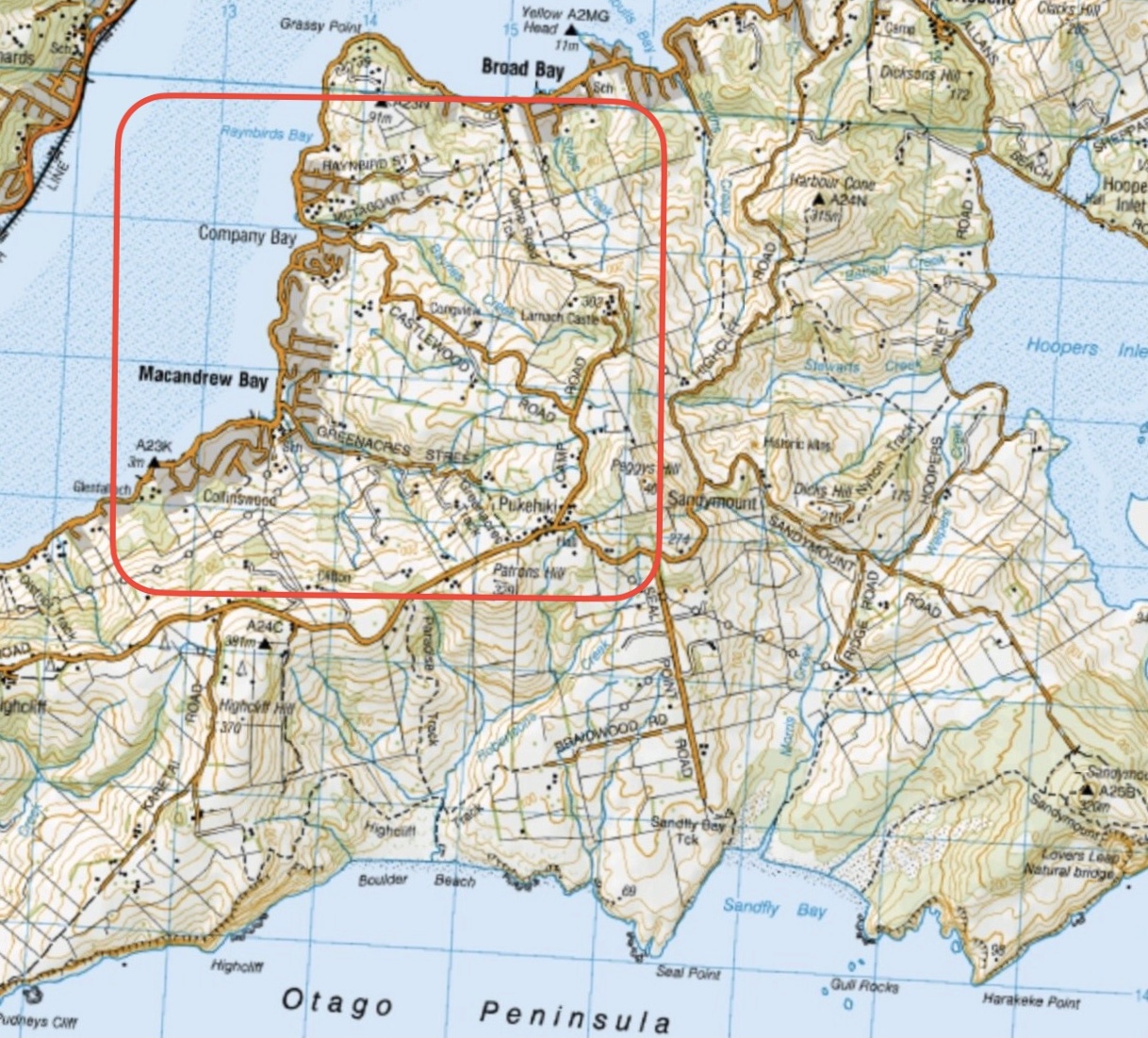
Click on Map to Enlarge
Taieri Recreational Tramping Club
Mid-week recreational and social walking group based in Mosgiel NZ

The post that links all the known previous trips and information.
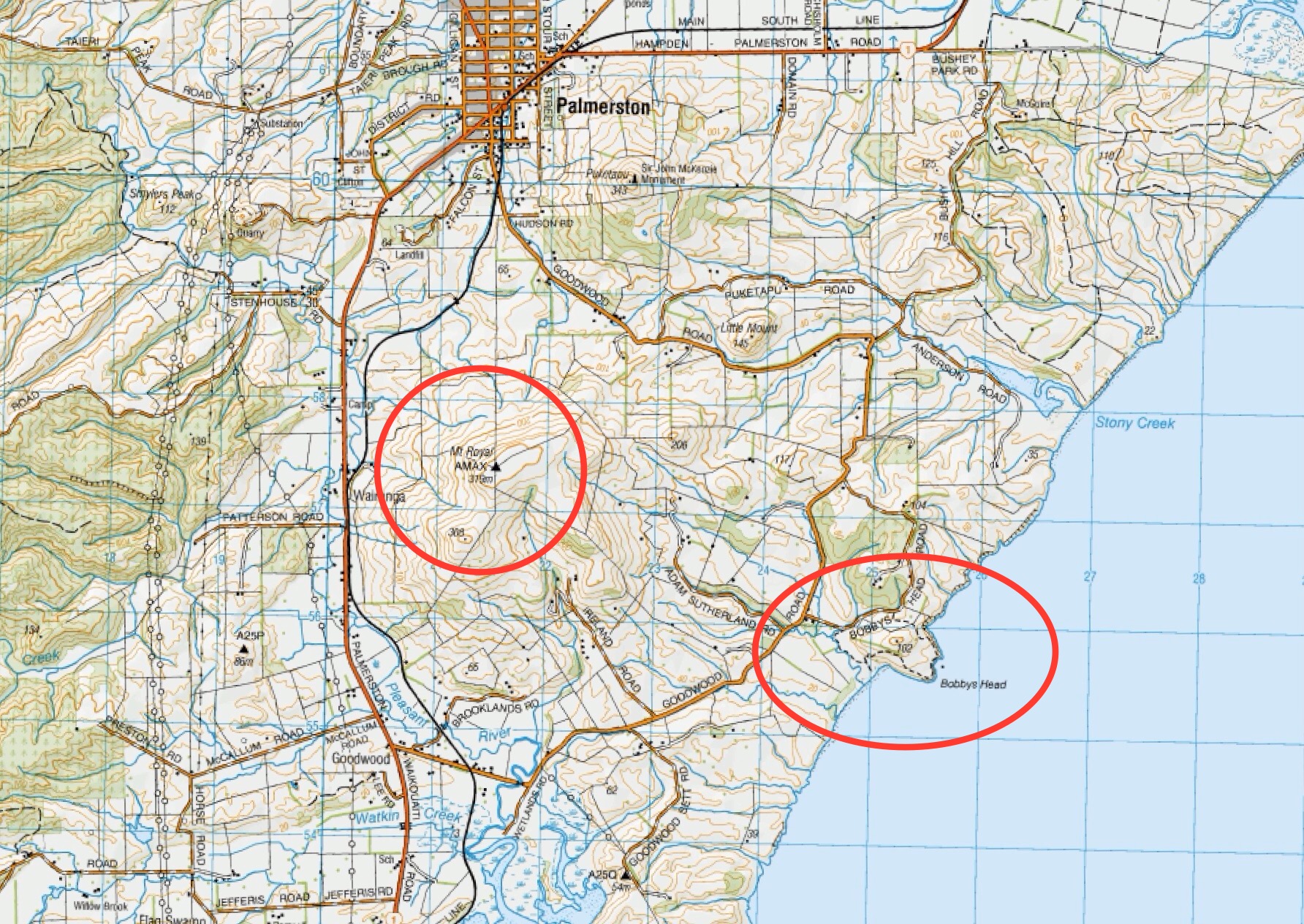
Click on Map to Enlarge
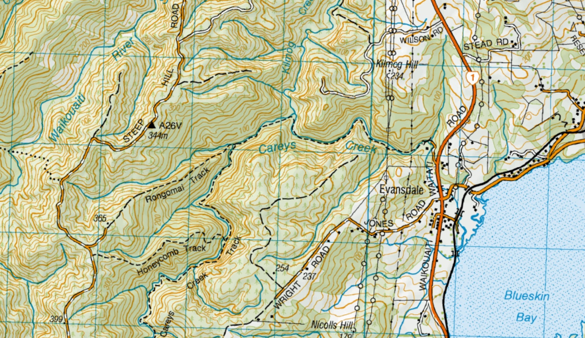
Click Map to Enlarge
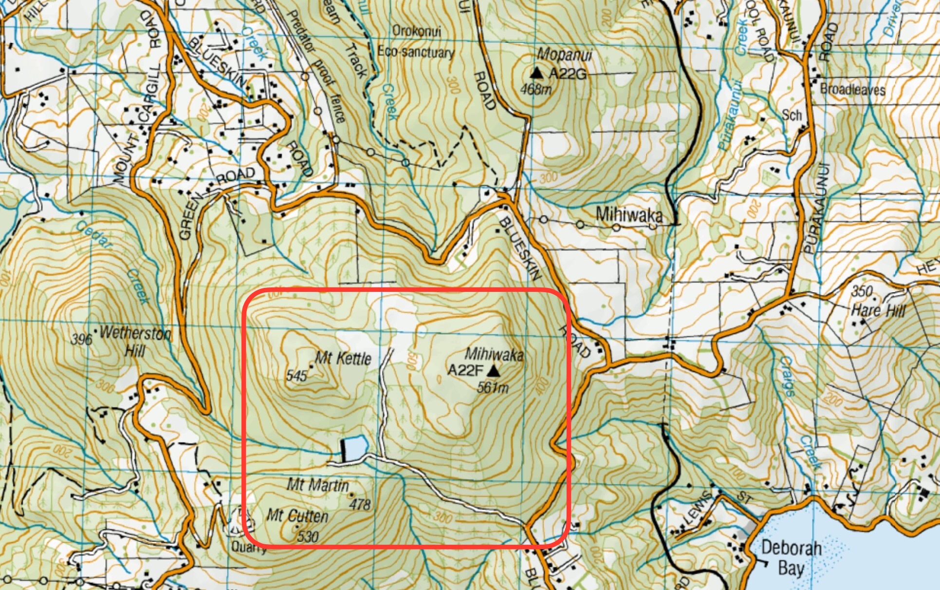
Click on Map to Enlarge
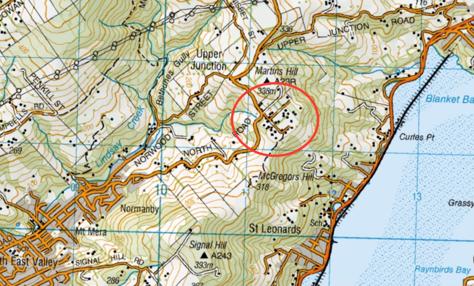
Click on Map to Enlarge
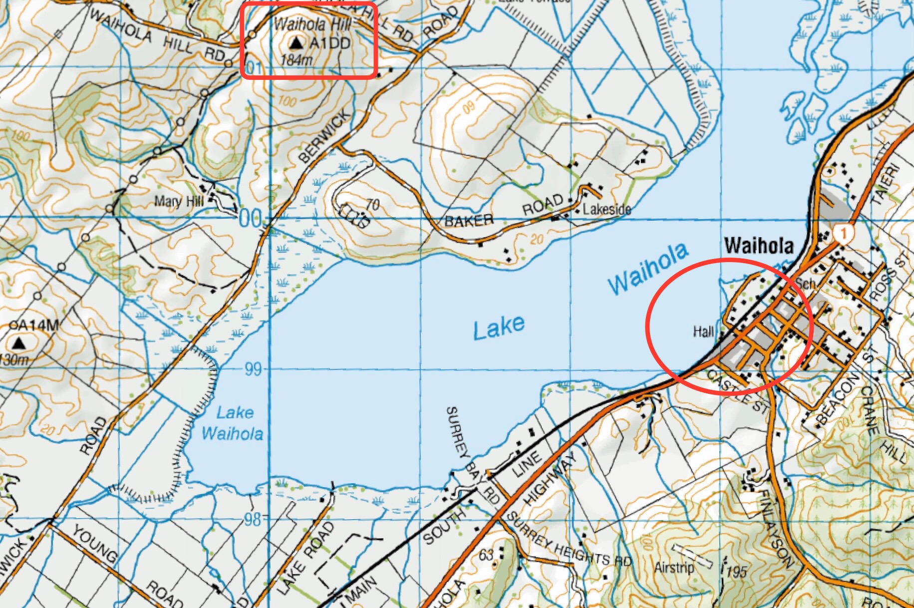
Click on Map to Enlarge
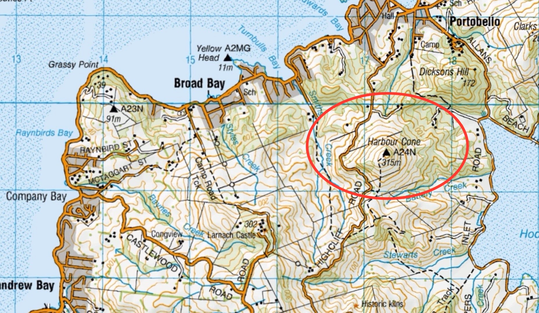
Click on Map to Enlarge

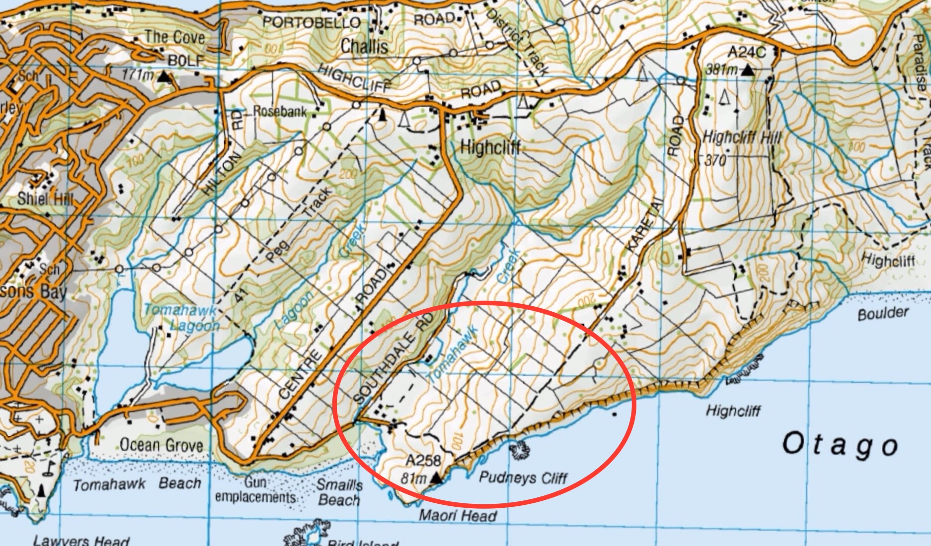
Click on Map to Enlarge
Click on Map to Enlarge
Click on Map to Enlarge
Click on Map to Enlarge

Click on Map to Enlarge
Click on Map to Enlarge

Click on Map to Enlarge

Click on Map to Enlarge

TRTC in liaison with the Green Hut Track Group undertakes to maintain those tracks on Swampy and Flagstaff on the Silverstream side above Rollinsons Road. This page groups together those trips where track maintenance has been undertaken by the Club.
Also included on this page is planting activities undertaken with the Halo Project which is an Otago based organization within Predator Free Dunedin who work collaboratively to protect and strengthen communities.
Road distances from Mosgiel carpark.
11/04/2025 Flax/ Track Clearing. Trampers. Leader: Phil Keene.
26/03/2025. Flax / Track Clearing. Trampers. Leader: Phil Keene.
21/03/2025. Track Clearing. Leader: Phil Keene.
18/11/2024 Track Clearing. Leader: Phil Keene.
Halo Project Planting 2024 Combined Leader: Jill
Track Clearing 2024 – 2004 (27 trips, 16 with reports and photos, 10 with reports only, 1 with no report or photos)