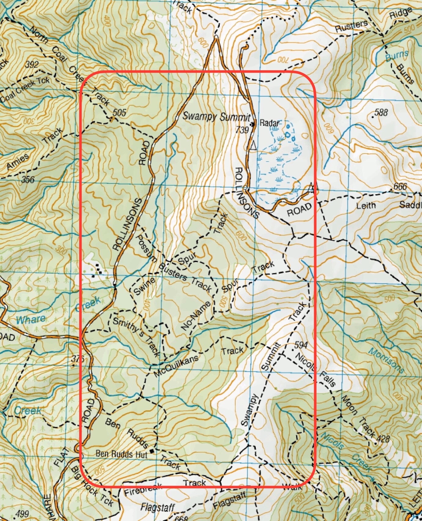
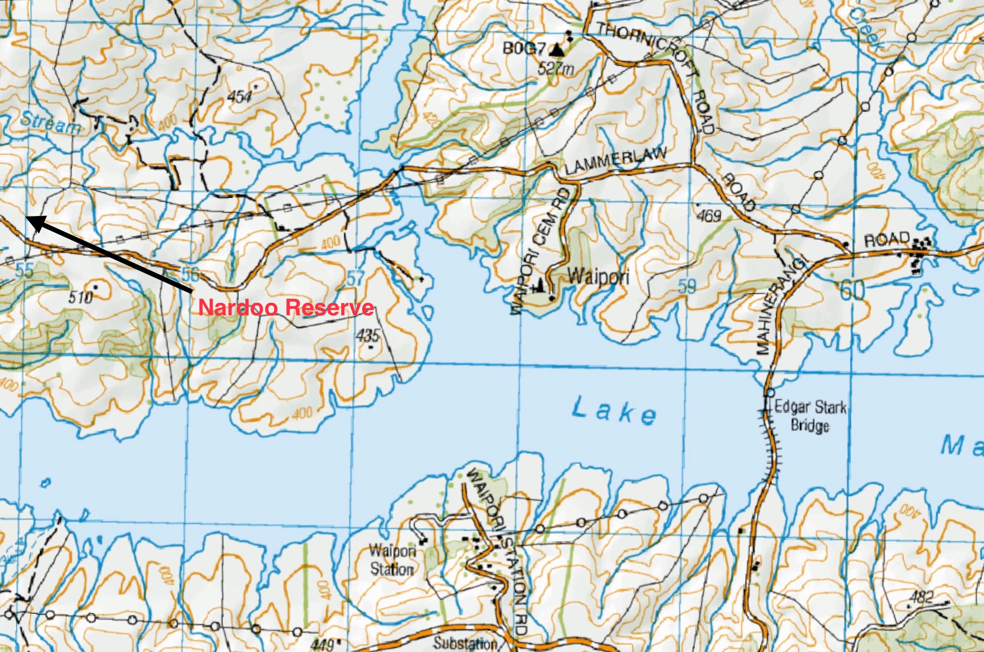
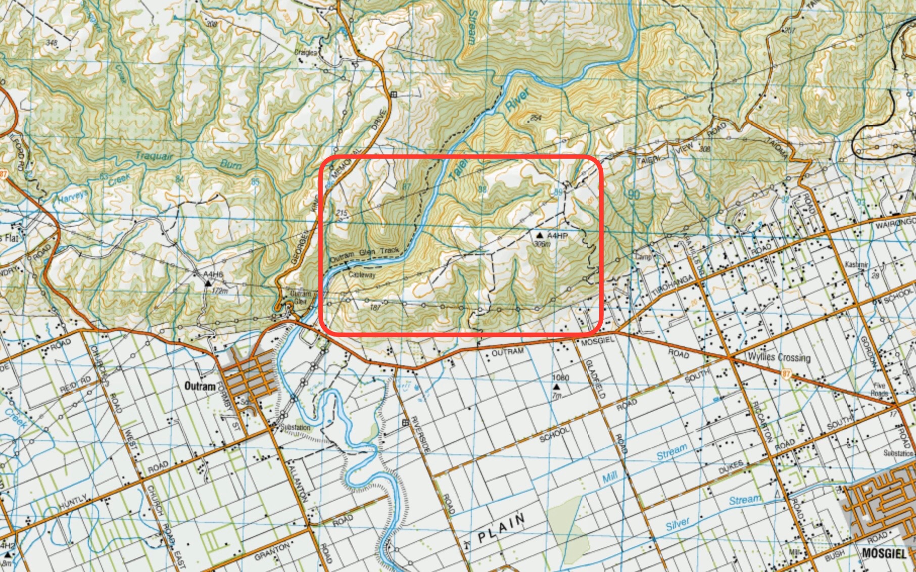
Click on Map to Enlarge
Taieri Recreational Tramping Club
Mid-week recreational and social walking group based in Mosgiel NZ

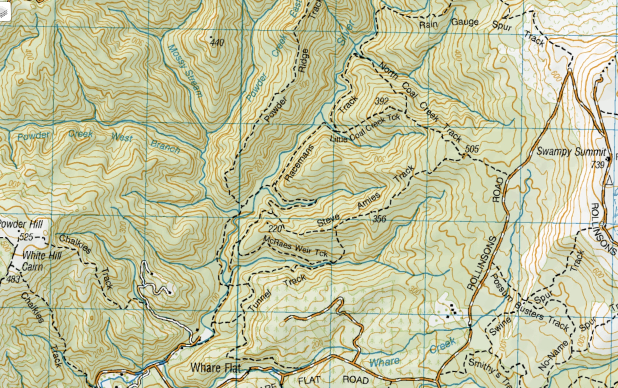
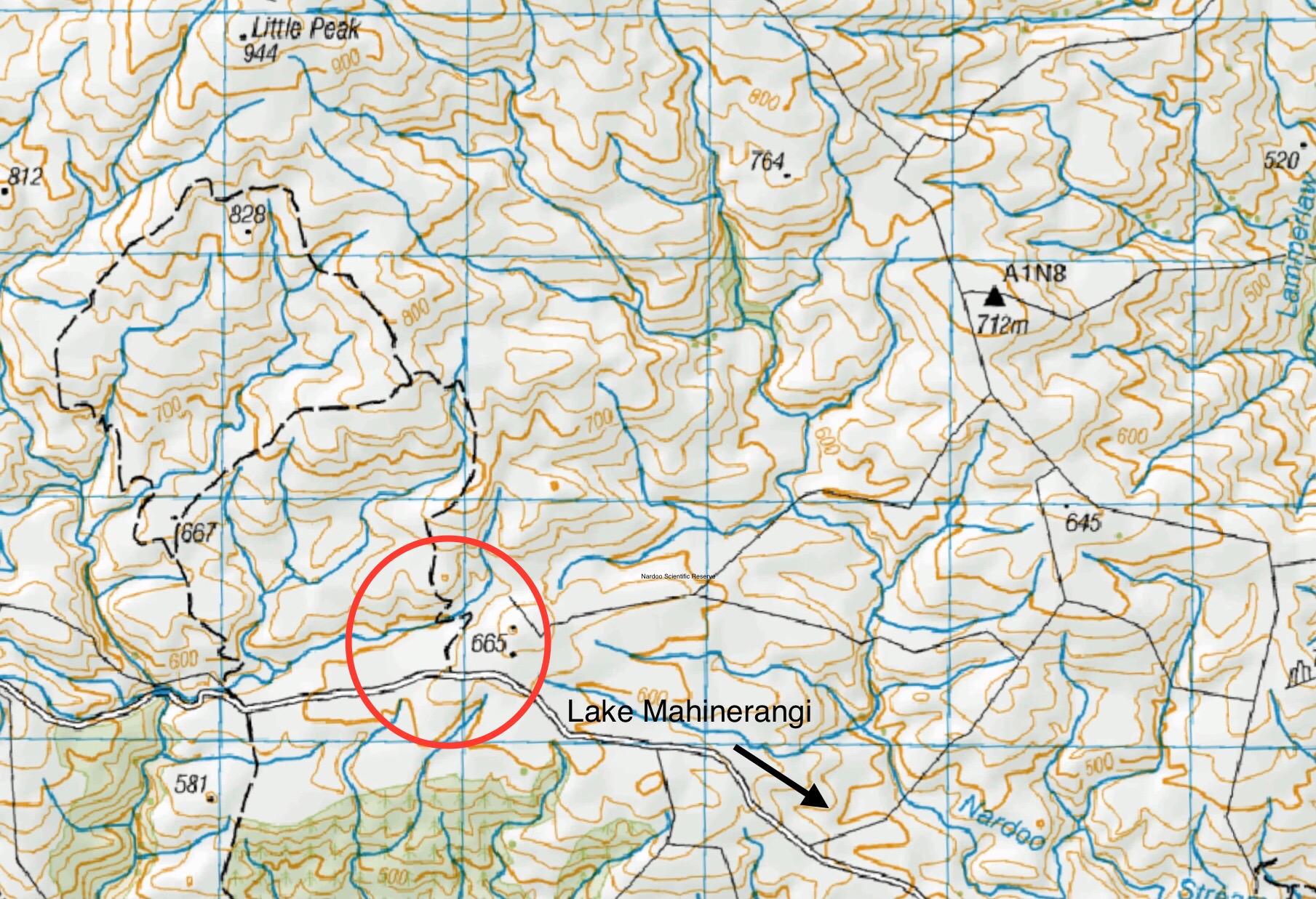
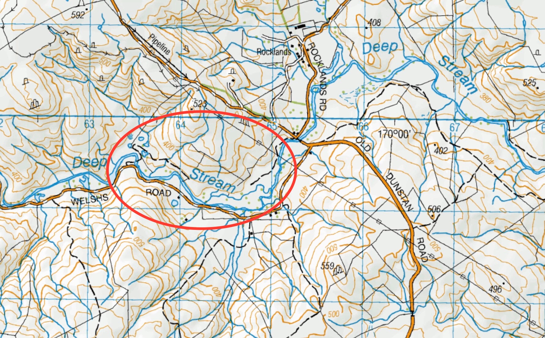
Click on Map to Enlarge
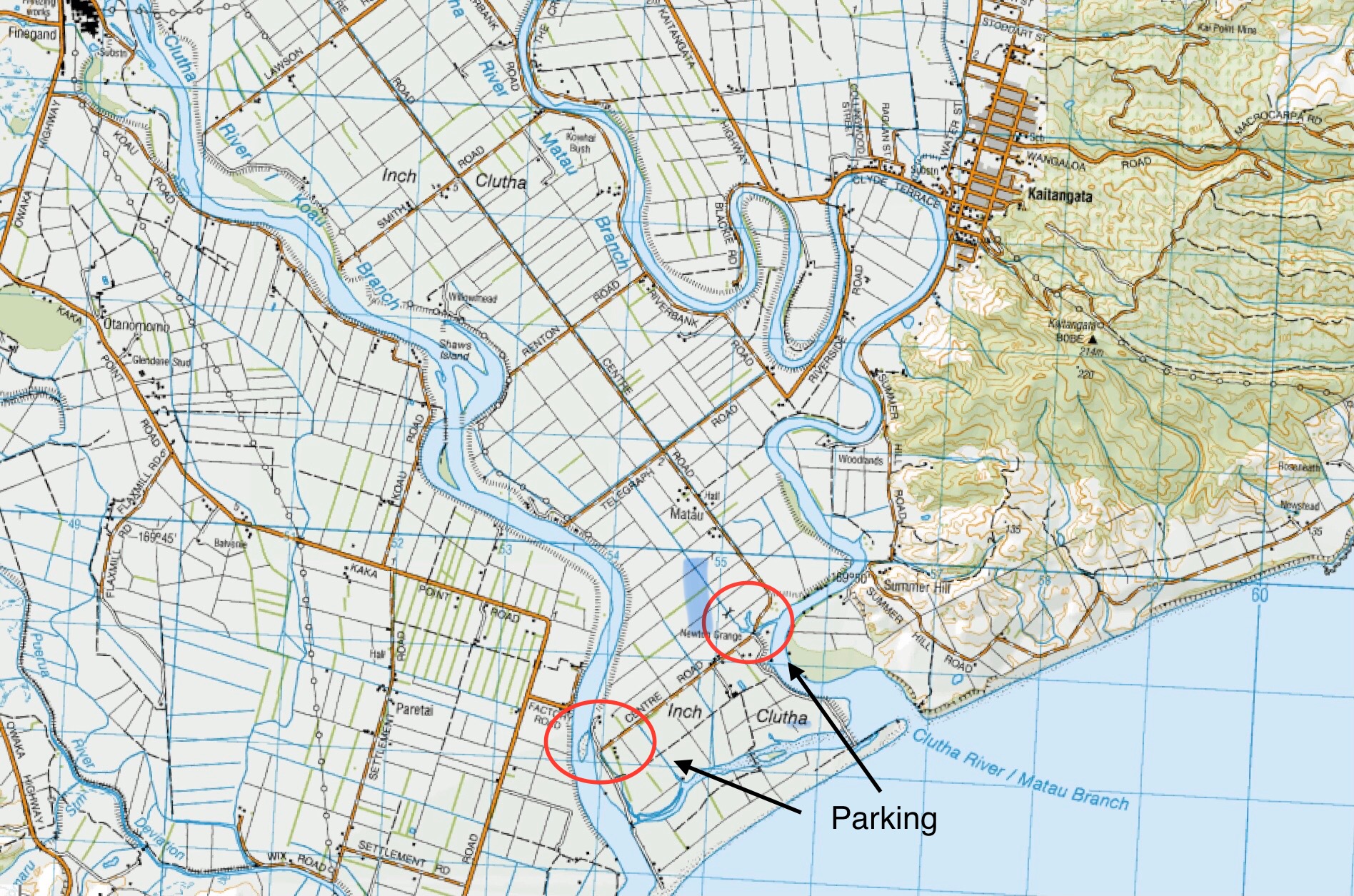
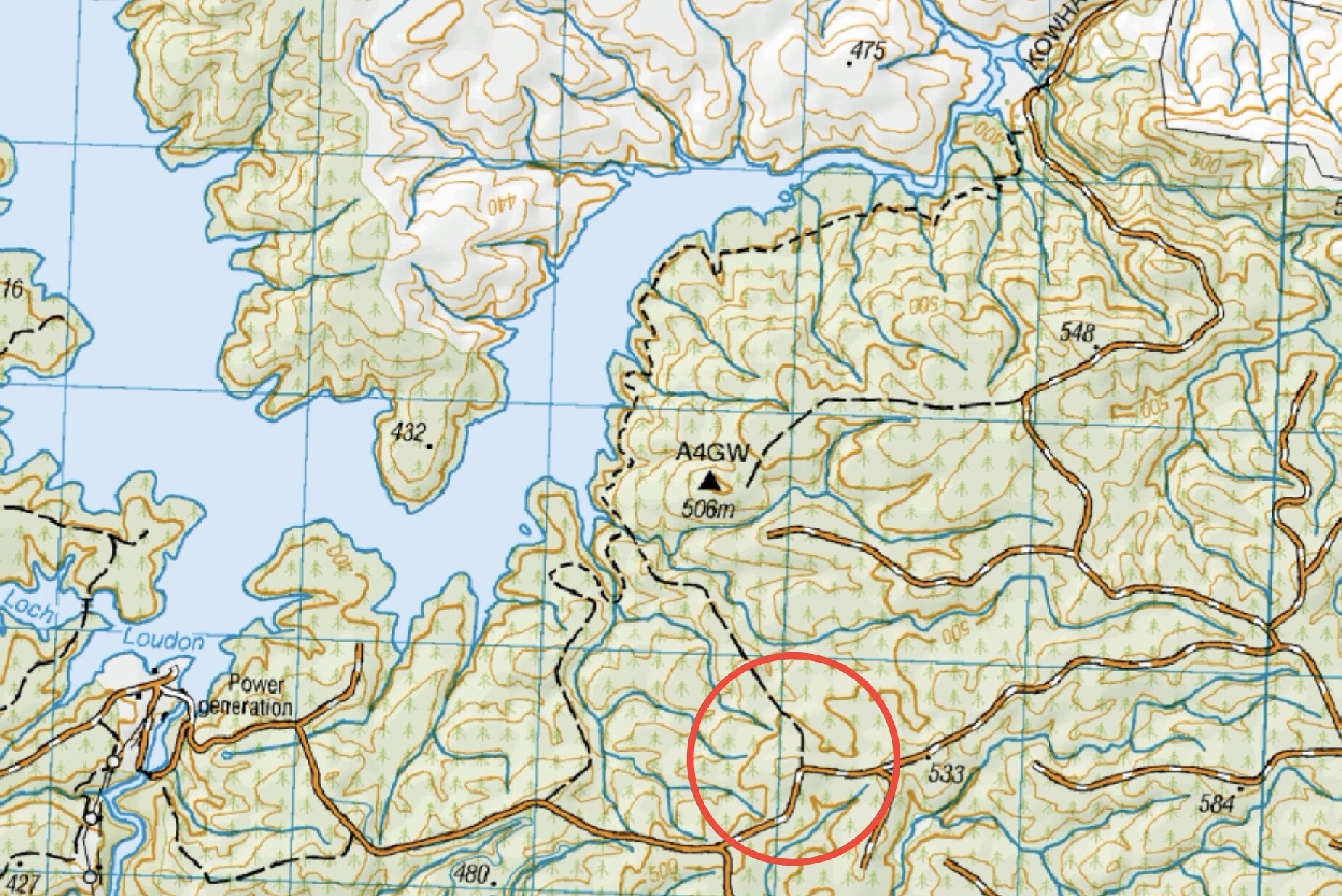
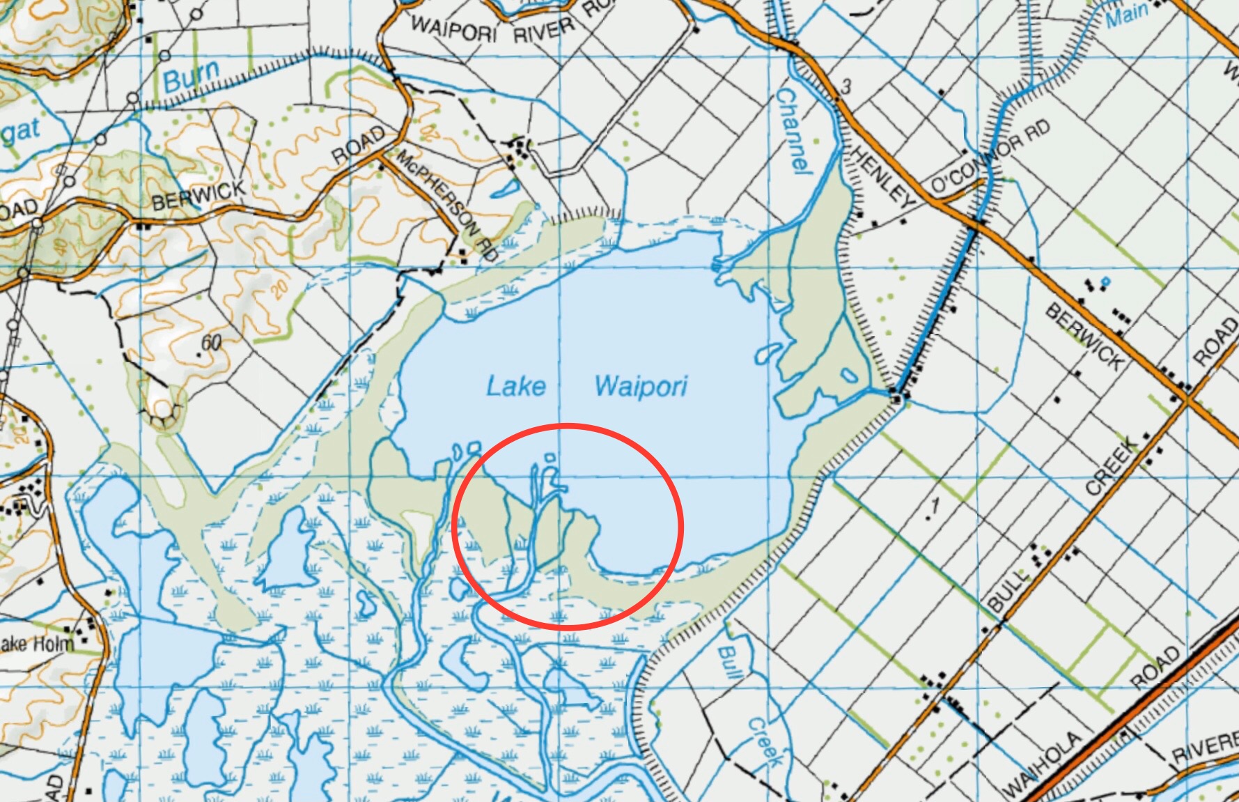
Click on Map to Enlarge
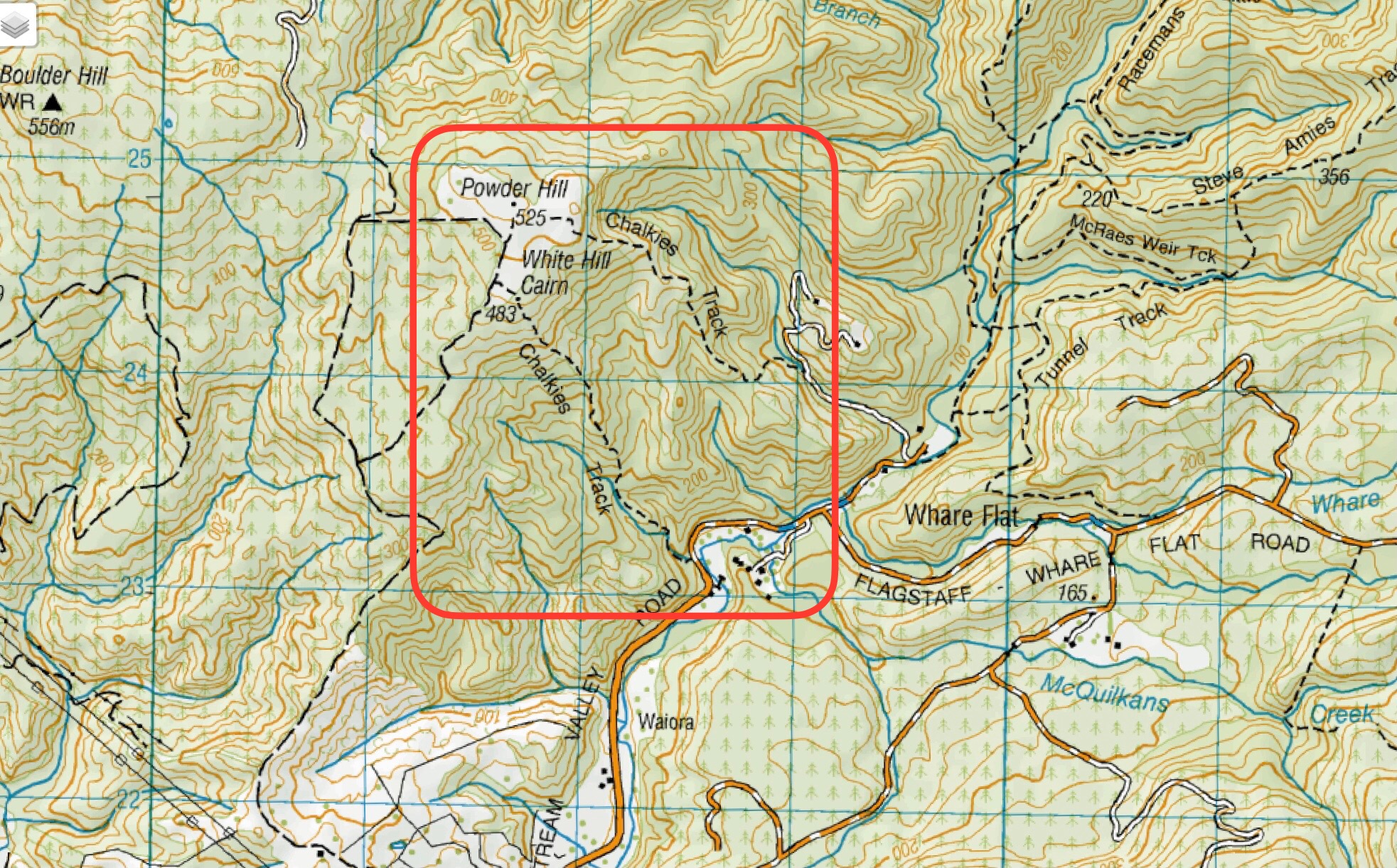
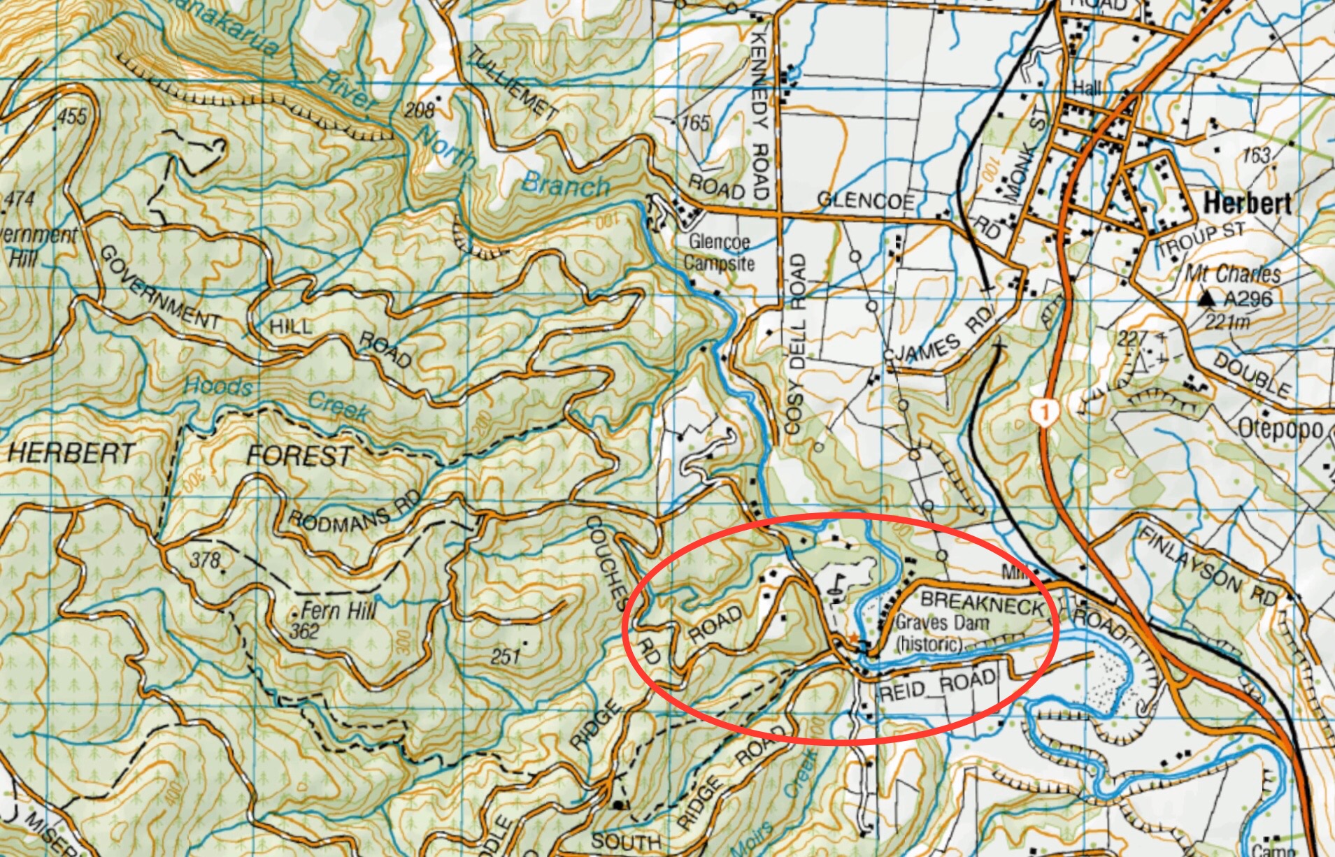
Click on Map to Enlarge
Click on map to enlarge
Click on Map to Enlarge
Click on Map to Enlarge
Click on Map to Enlarge
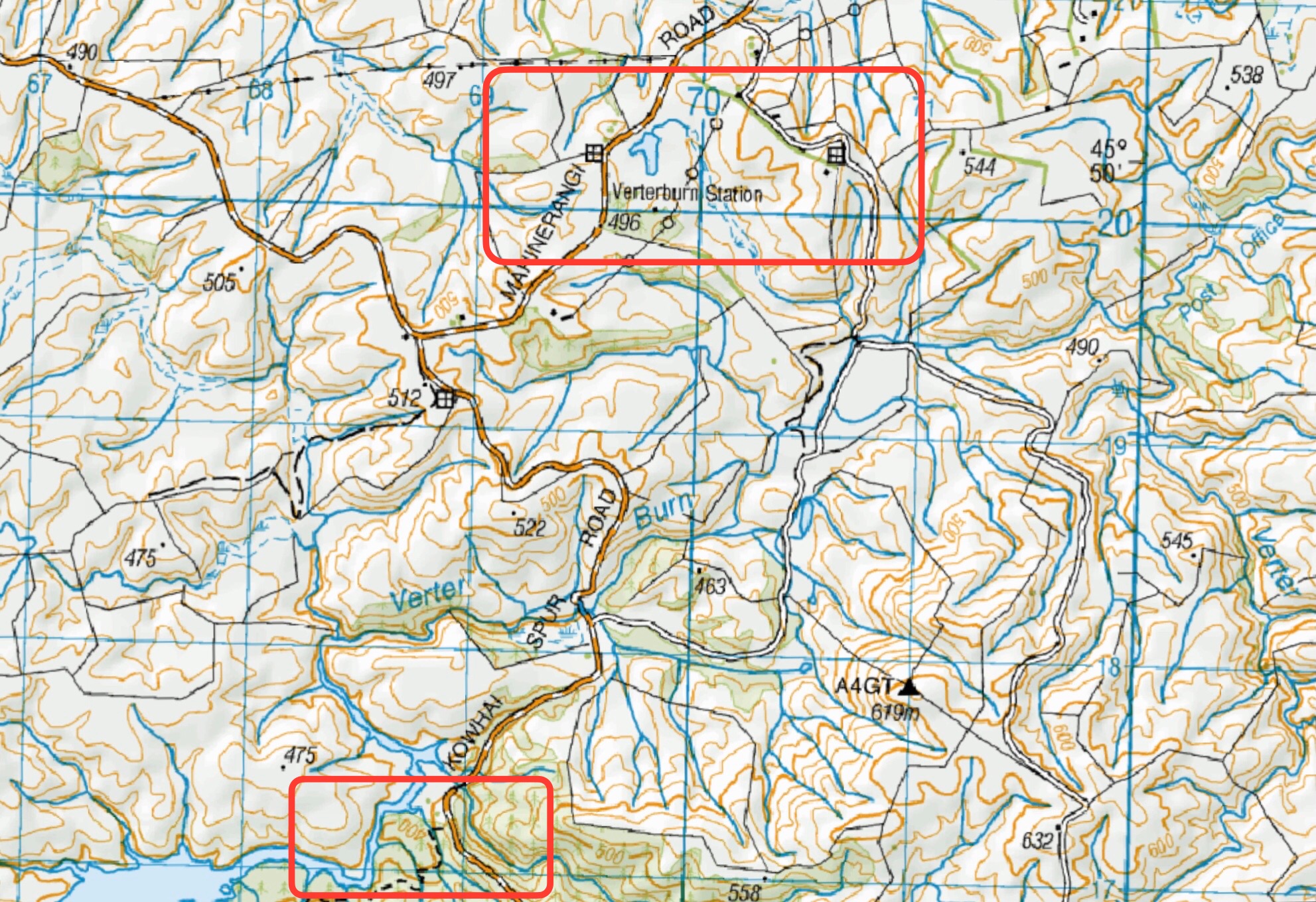
Click on Maps to Enlarge
Click on Maps to Enlarge
(1) Post Office Creek from power station
(2) Post Office Creek / Vertaburn (Reid – Beattie Farms)
Click on Map to Enlarge
Click on Map to Enlarge
Click on Map to Enlarge
Click on Map to Enlarge
Click on Map to Enlarge
Click on map to enlarge