
 10/09/2025. Aramoana. Grade 2. Hikers. Leaders: Peter Horrell, Jan Palmer.
Luckily for us, the weather report for the day had changed and was no longer forecasting rain for the morning, but arriving at Aramoana, and finding it a bit chilly, most of us put on at least one more extra layer before we started out.
Twenty-five of us set off from the carpark by Shelly Beach towards the Mole.
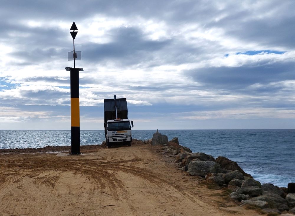
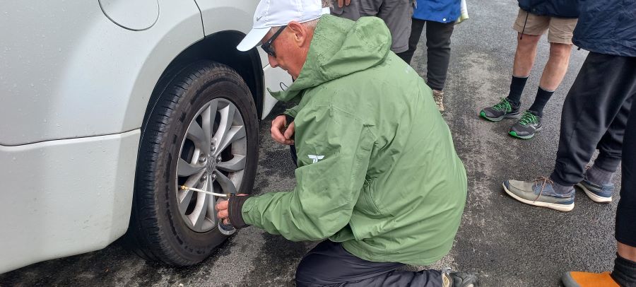
However, with a ‘No Entry’ sign on the open gate to the Mole and seeing that trucks were going down to dump rocks, we waited for a truck on its return journey and got permission from the driver to continue on .
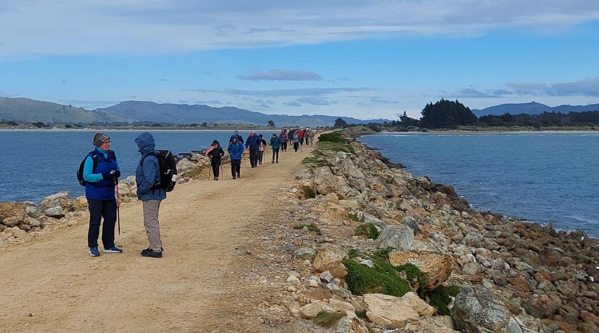
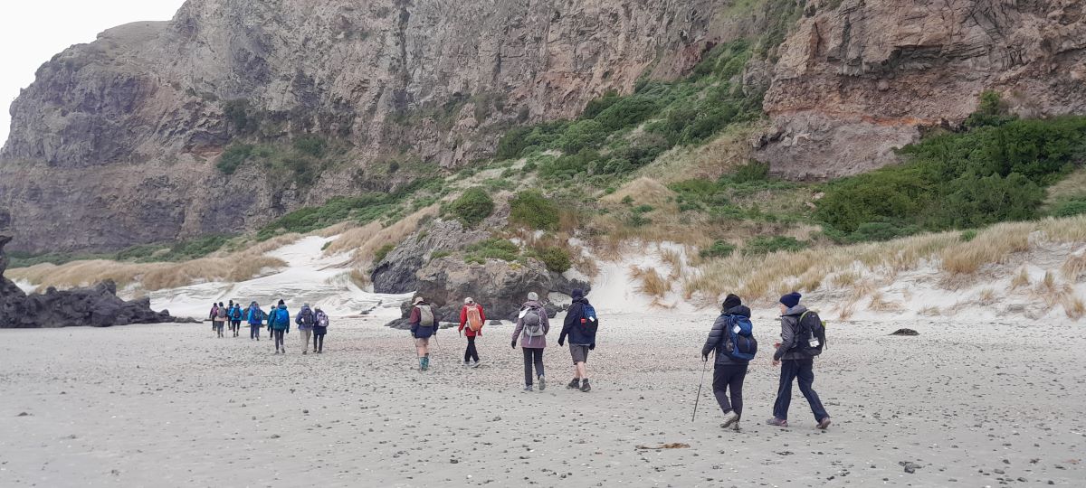
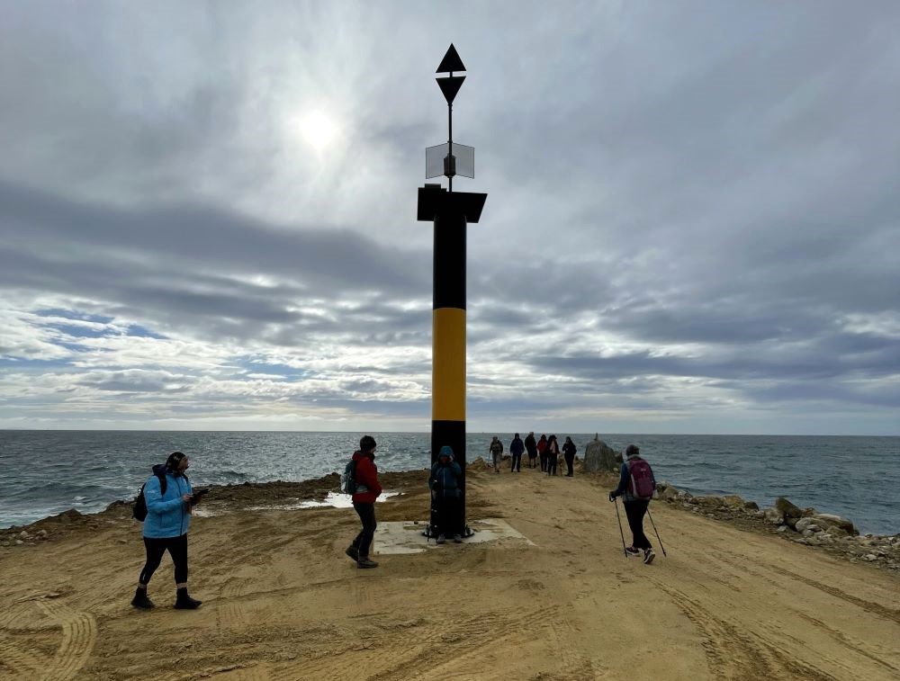
So we headed off again into the wind to reach the end. Along the way one seal was spotted resting on the rocks.
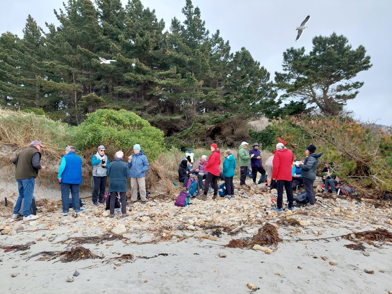
At the Big Beach we found a slightly sheltered spot to have morning tea which we cut a bit short to make the most of the fine weather.
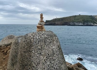
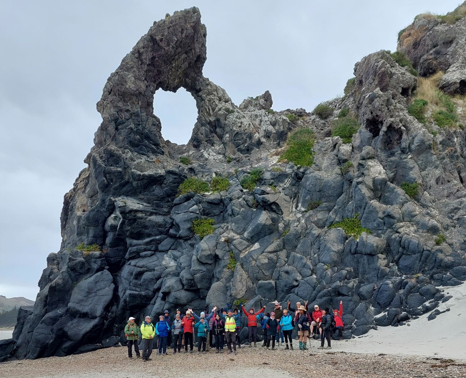
Heading off down beach we walked as far as we could without having to clamber over any rocks, stopping below Keyhole Rock to take a group photo.
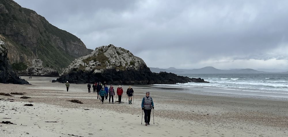
On the return journey Jill Thomas’s keen eyes spotted a female sealion resting snuggly camouflaged against the sand bank.

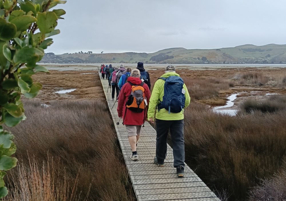
We turned off the beach and took the track out to the road and towards the houses. The wind had calmed and it was now quite pleasant. From the road we cut down a path, where we took note of all the planting that had been done.
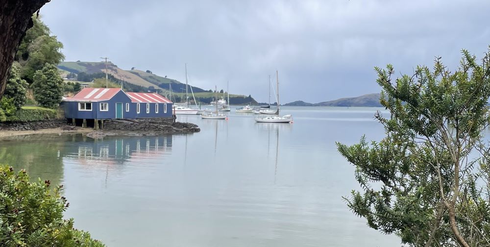
Walking past a varied mix of houses/cribs we arrived at the domain with its lovely new completed carpark (which I am sure will be open for public use very soon). Some use was made of the toilets at that point but before stopping there for lunch, we did the short walk using the boardwalks and tracks to reach the platform above the saltmarsh flats.
Towards the end of our lunchbreak, there were a few spots of rain and those not under cover soon joined those who were – under the domain building’s veranda. Unfortunately, the few drops of rain turned into somewhat of a downpour and was accompanied by a cold wind.
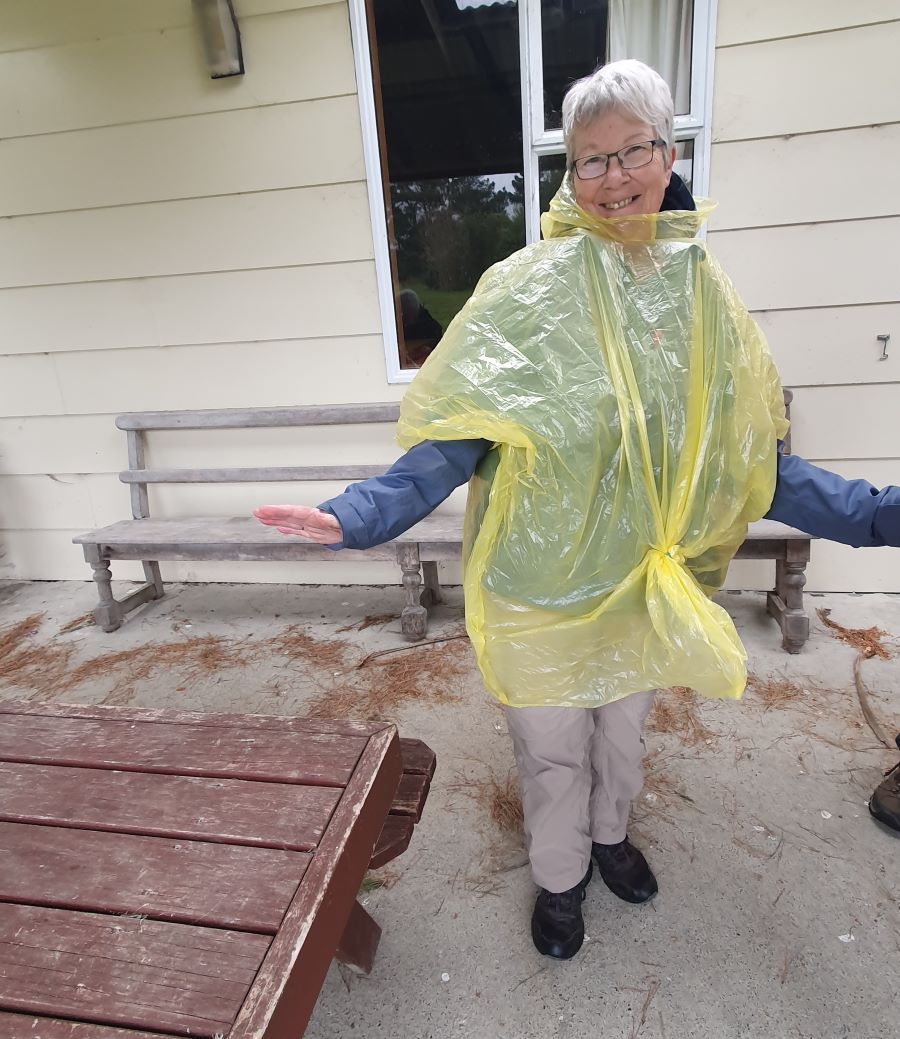
Not being sure how long this would last, we made the call not to continue on with the last part of the walk around the spit. Instead, it was off to the Historic Careys Bay Hotel for an early but well deserved hot drink.
Brief History of “The Mole” (Jan Palmer)
The original plan was for two Moles – one from Taiora Head and one at Aramoana but due to budget restraints only the one at Aramoana was constructed. The aim of the Mole was to protect the harbour entrance from silting by directing the tidal flow to keep a channel open for ships.
Construction started in 1884. Wooden piles were driven into the seabed with a railway line being built on the top to cart rock from a local quarry. This rock was continually dumped along the Mole for 4 years. Convict labourers were originally used, changing to unemployed men in 1886. The Mole was not built to its full specified height. Due to this and other factors it was decided to rebuild the Mole with more piles driven, more rock added and with it being heightened and extended in the 1920s. Between 1926 and 1945 steamer ships were scuttled to protect it from erosion. Some streets in the township are named after these ships.
Near the end of the 1950s concrete structures called tetrapods were placed at the end of the Mole to protect it. These had to be reinforced with more rocks and asphalt to stop them being moved around by the sea. As we saw on our trip the mole requires ongoing upkeep to keep it being effective against the ravages of the sea.
Jan Palmer
Link to background information and earlier tramps and hikes in the same area.