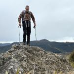
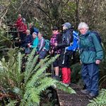
 12/11/2025. Three Peaks, Escarpment, Cloud Forest Loop. Grade 3.5. Trampers. Leaders: Sarah McCormack and Karen McInnis.
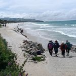
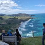
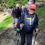
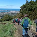
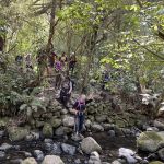
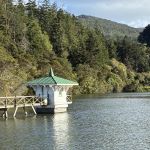
22 trampers set off from Sullivans dam in blustery conditions but it was sunny and not cold.
Continue reading “Three Peaks, Escarpment, Cloud Forest Loop”