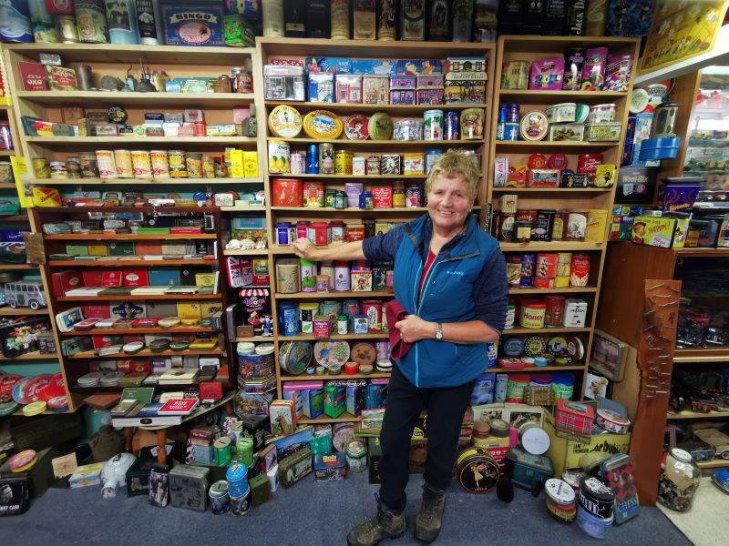
No. 78 on old hardcopy list of 113 club tramps. “Knarston Park Sth Coast (Ask Jean Young) Farm”
Akatore Farm permission required. (Ask Bob.)
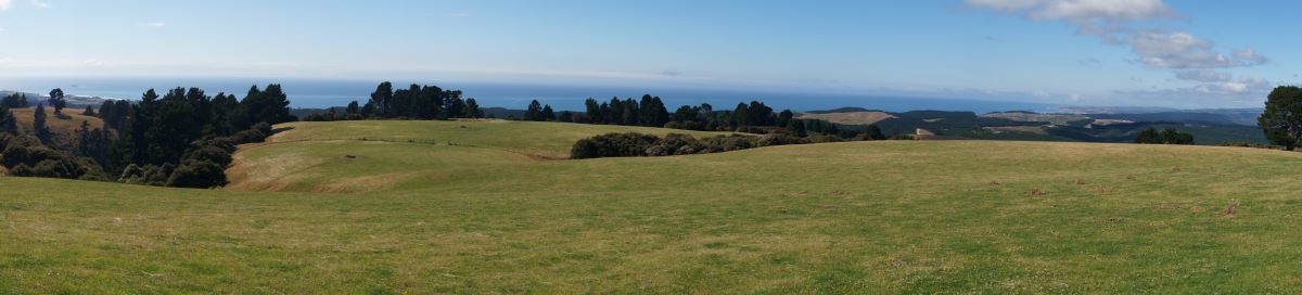
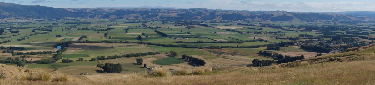
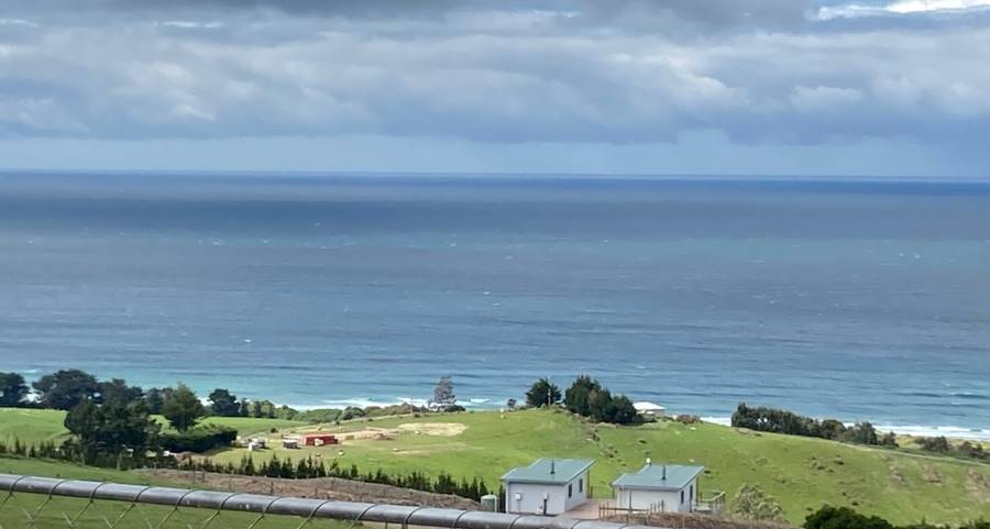
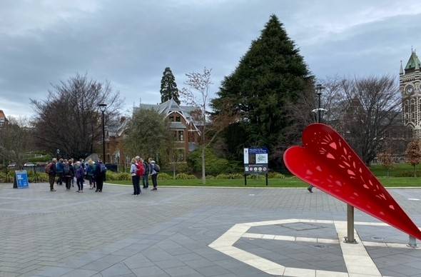
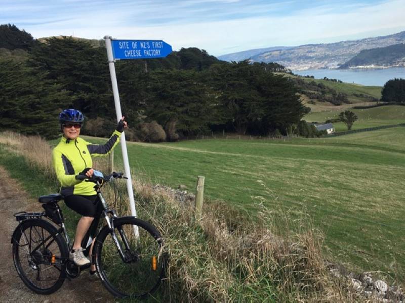
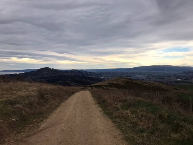
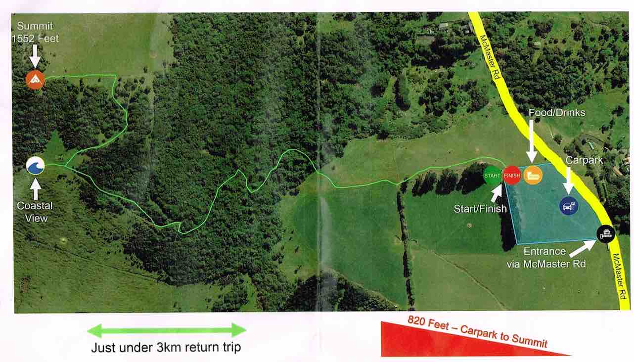
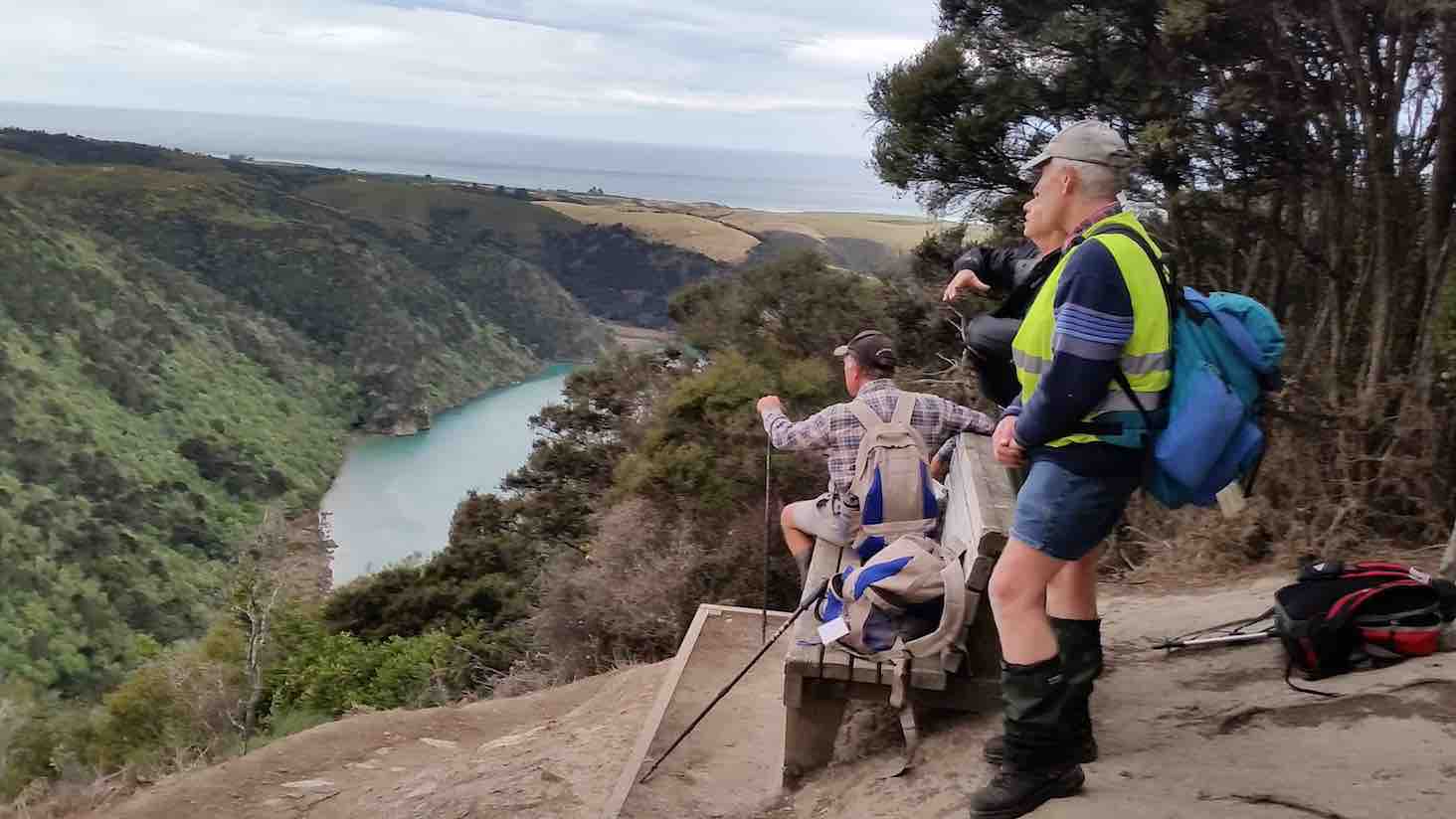
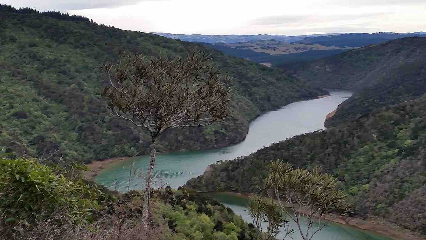
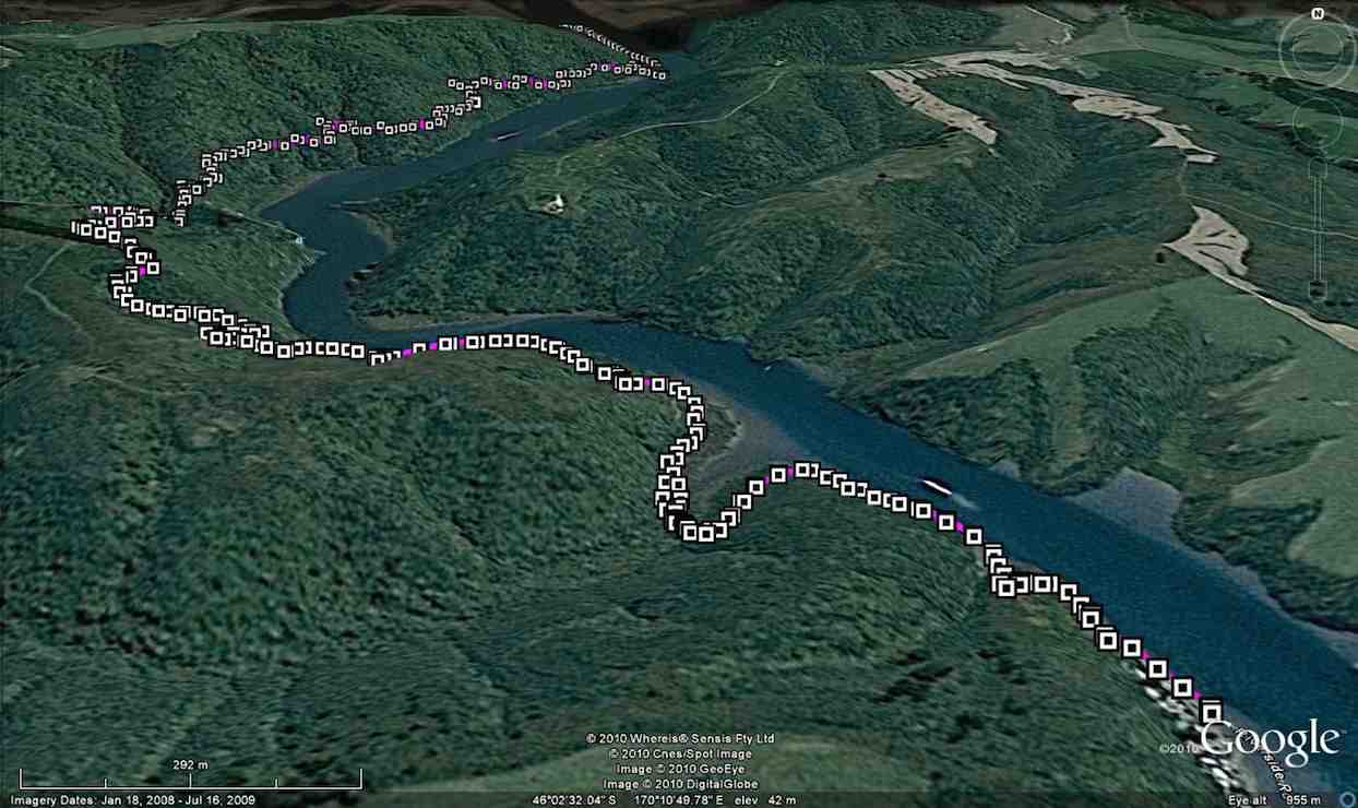
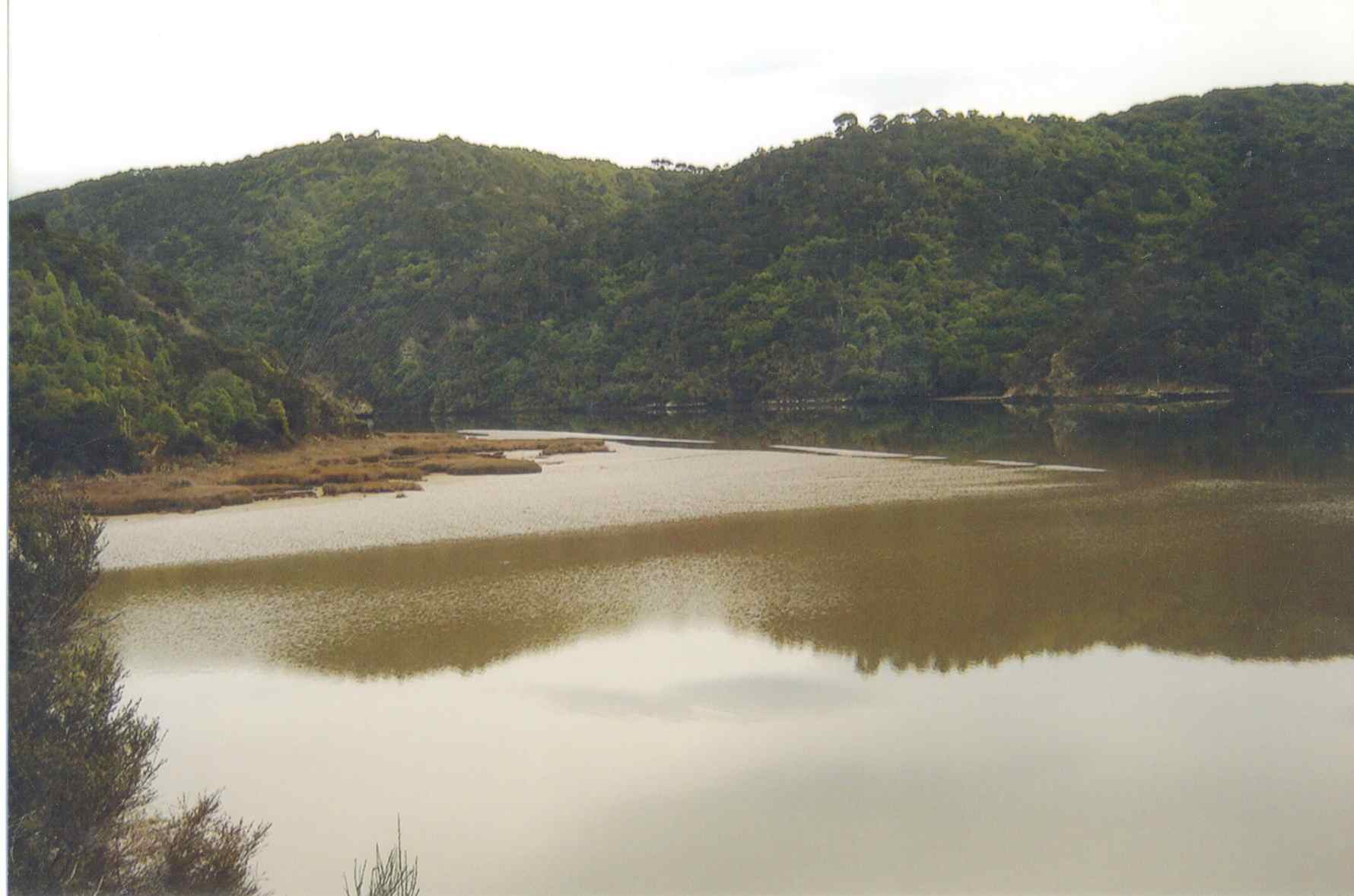
Distance Livingstonia Park from car park: 31.5 km.
Distance Akatore Farm from carpark: 48 km
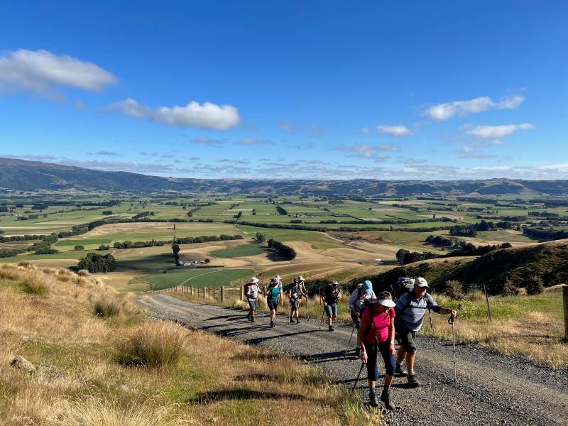
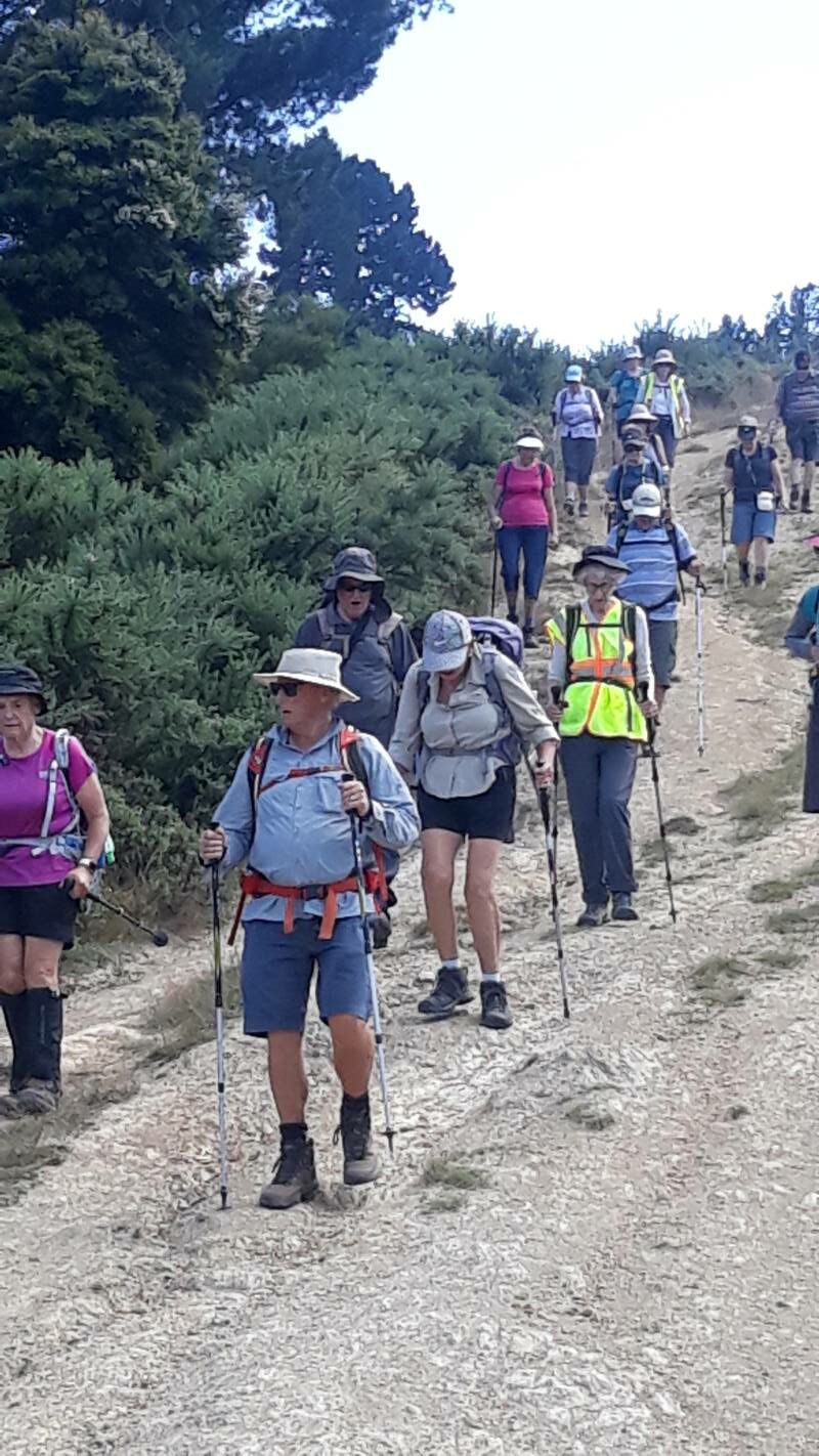
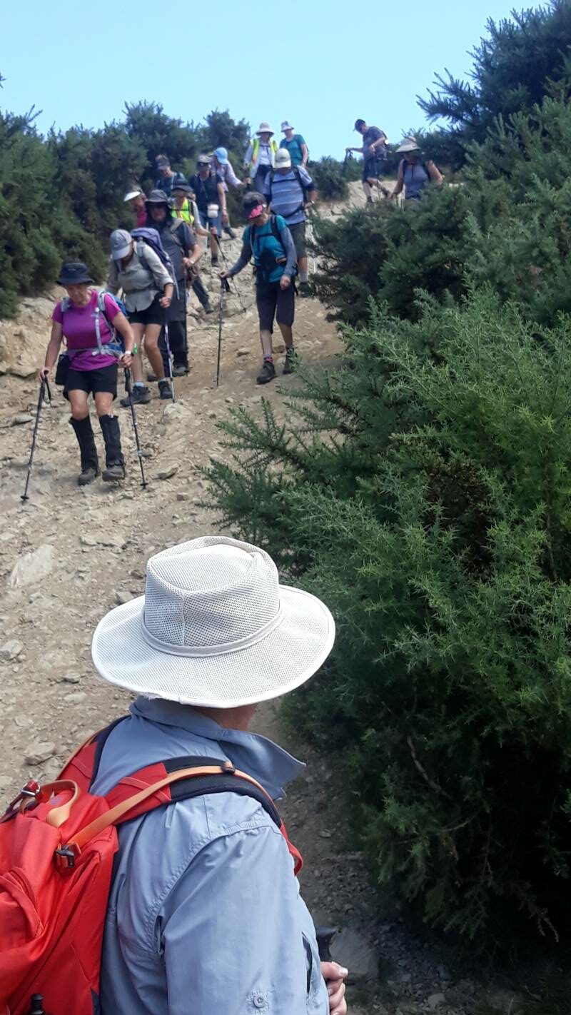
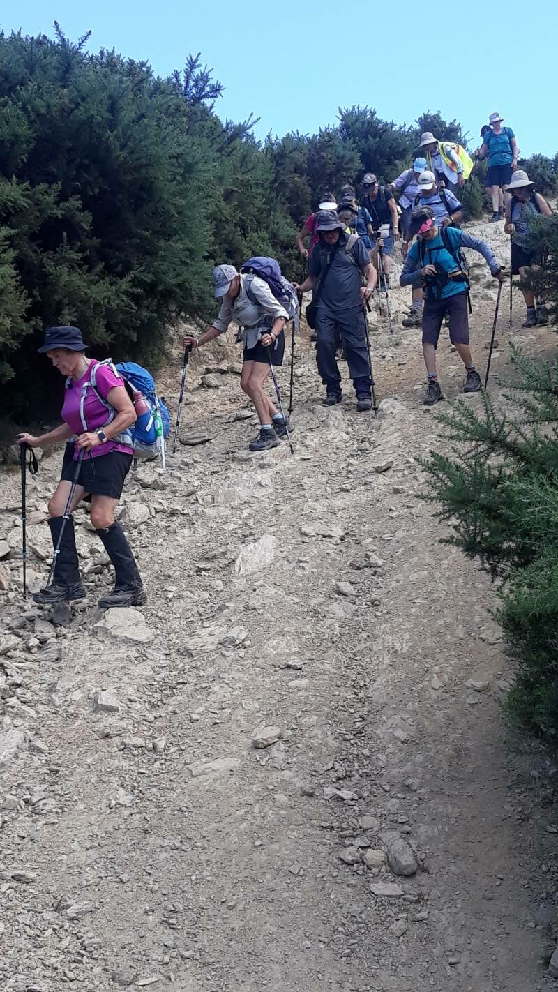
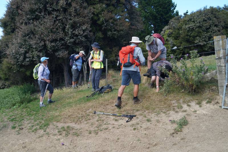
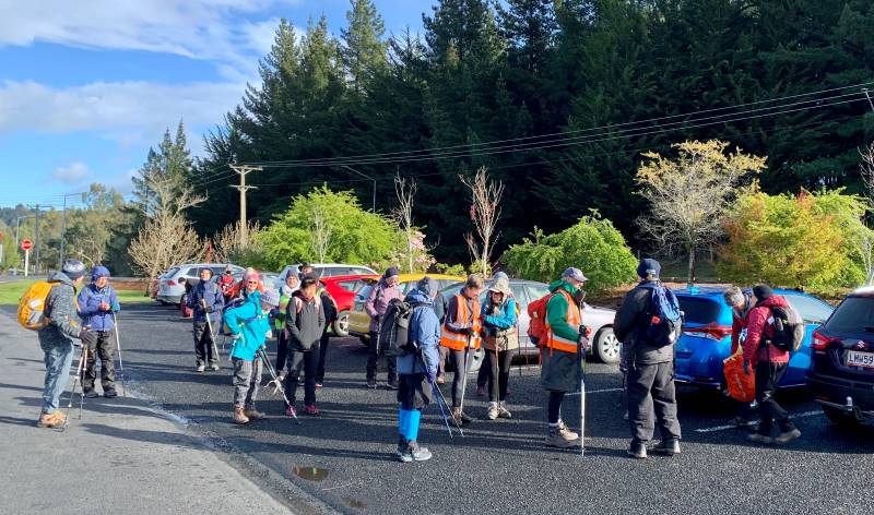
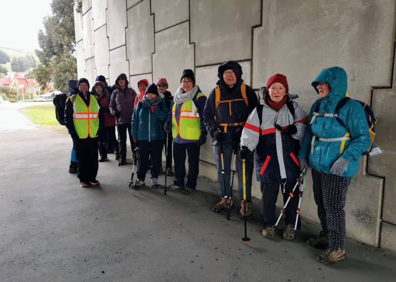
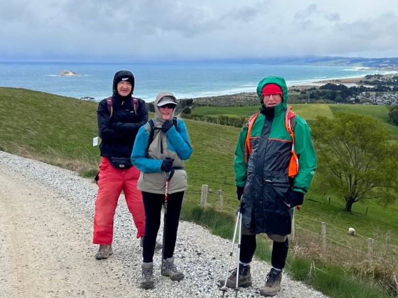
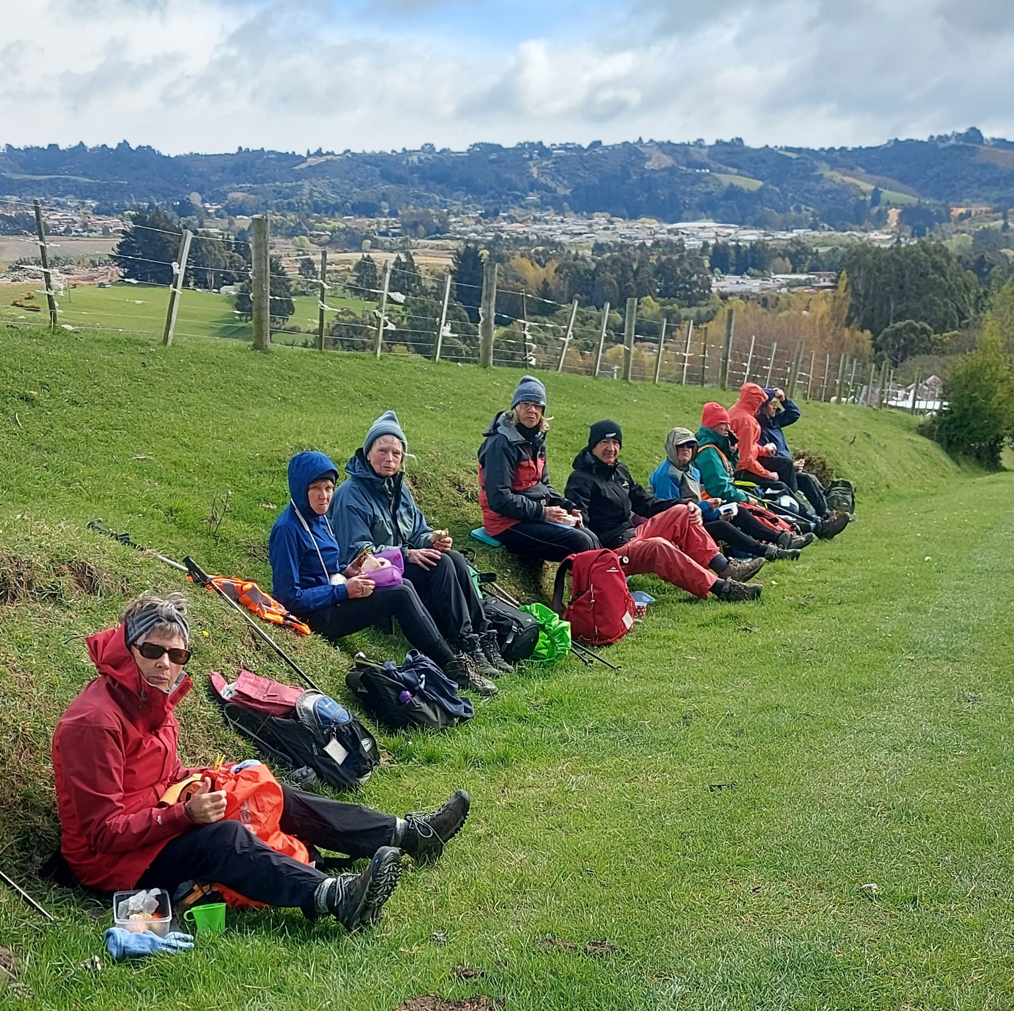
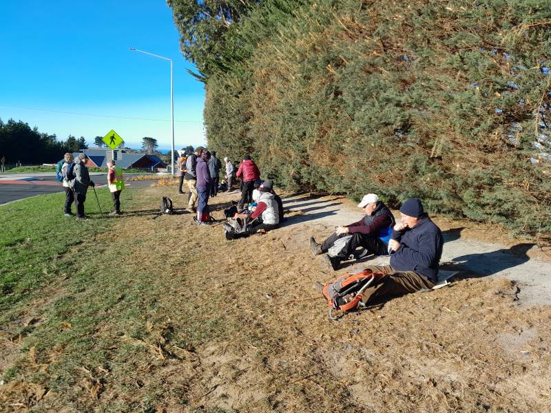
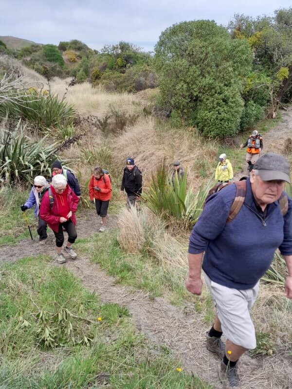
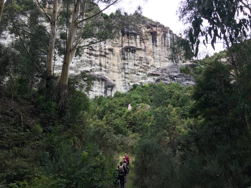
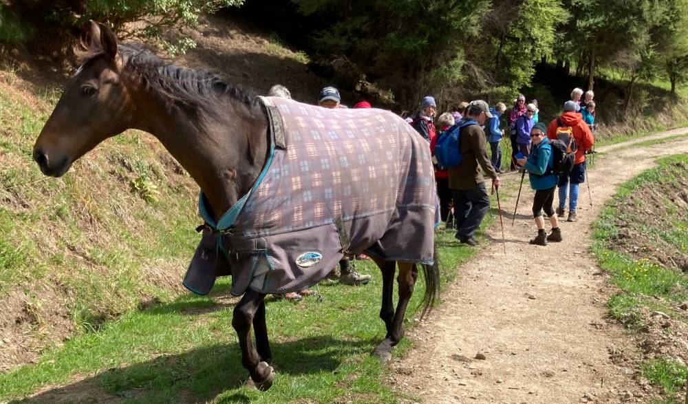
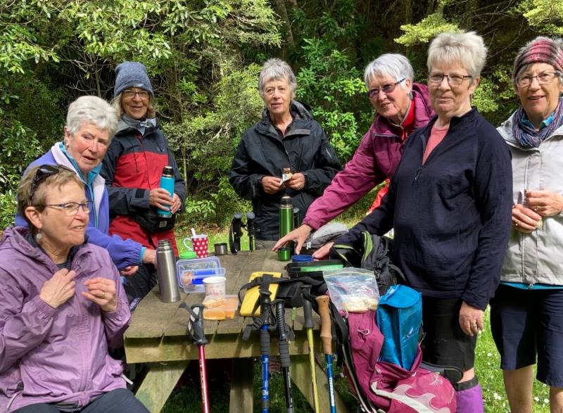
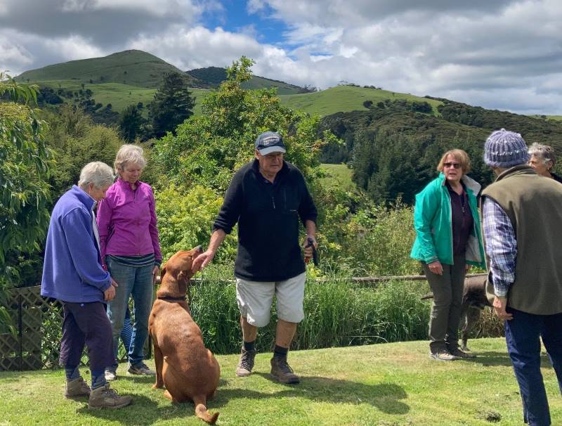
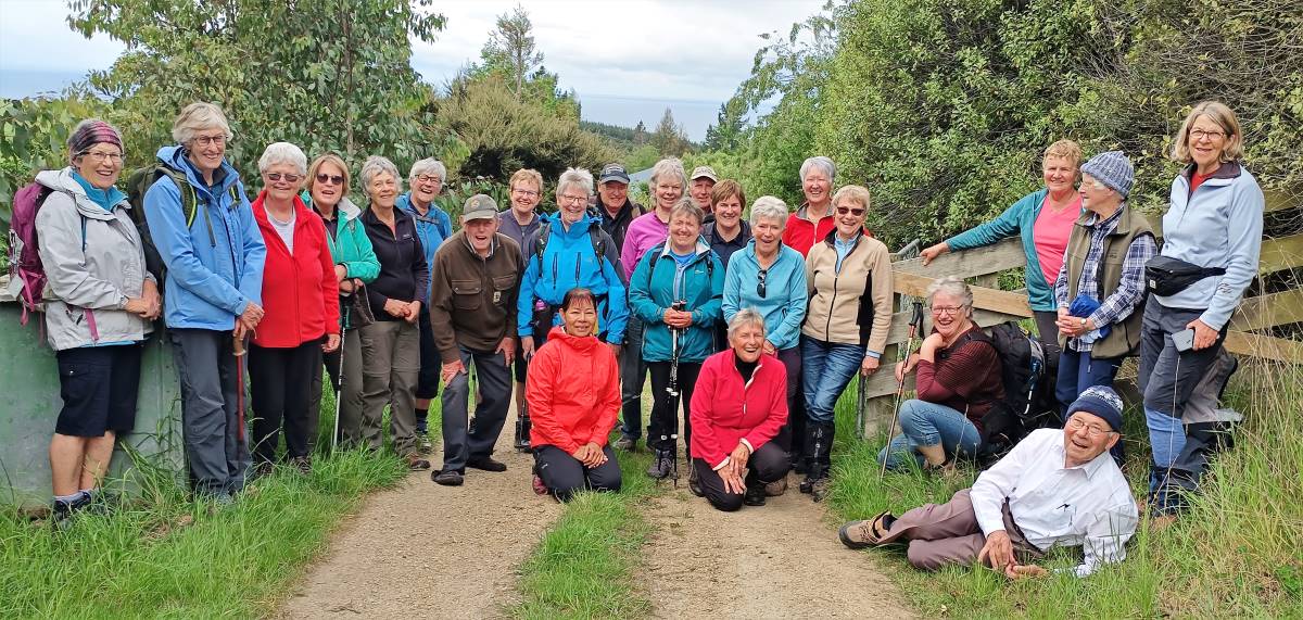
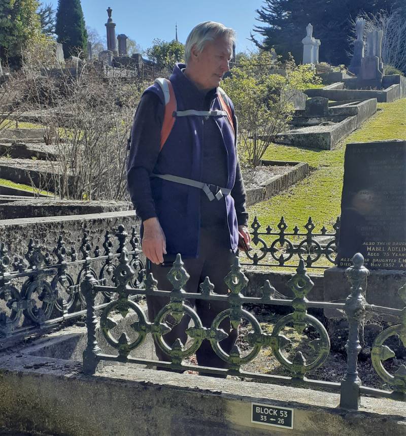
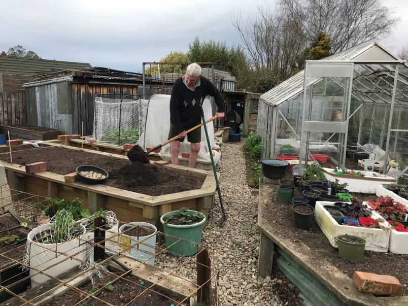
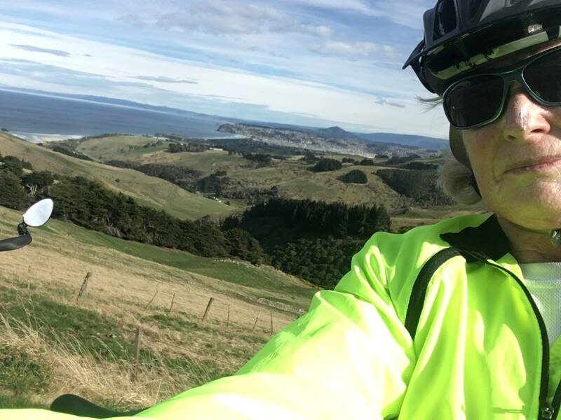
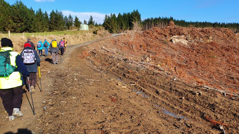
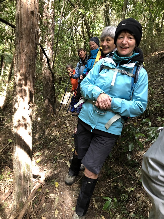
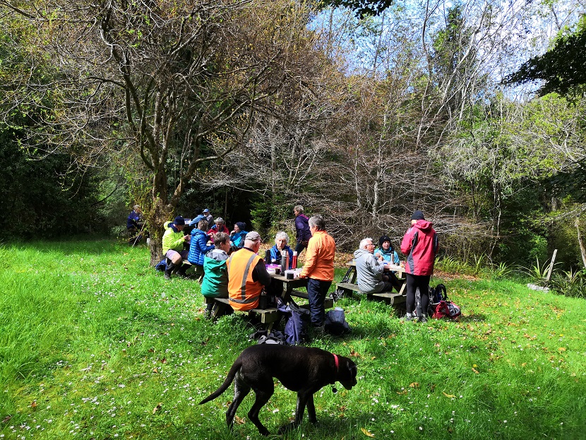
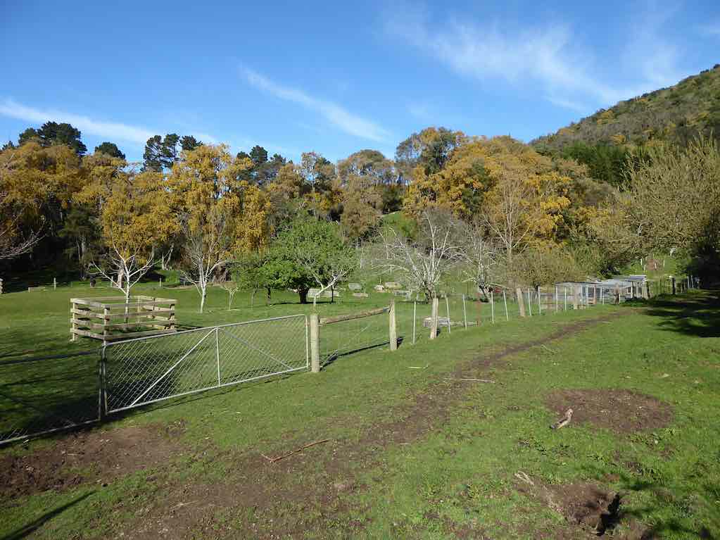
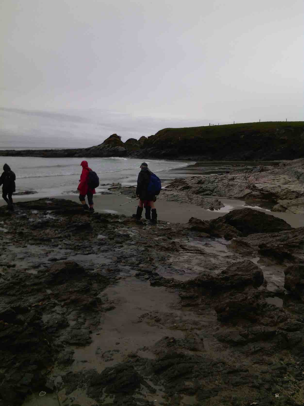
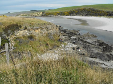
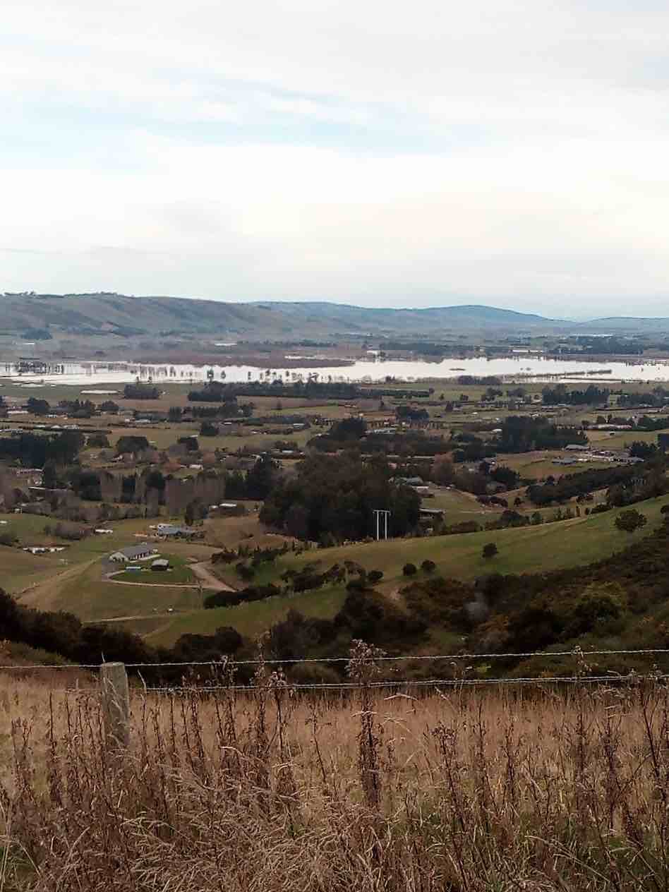
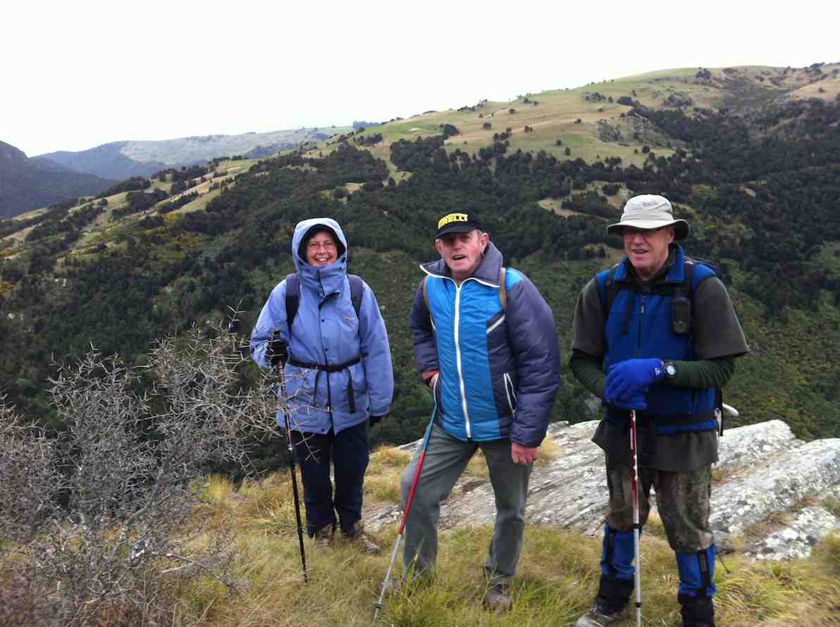
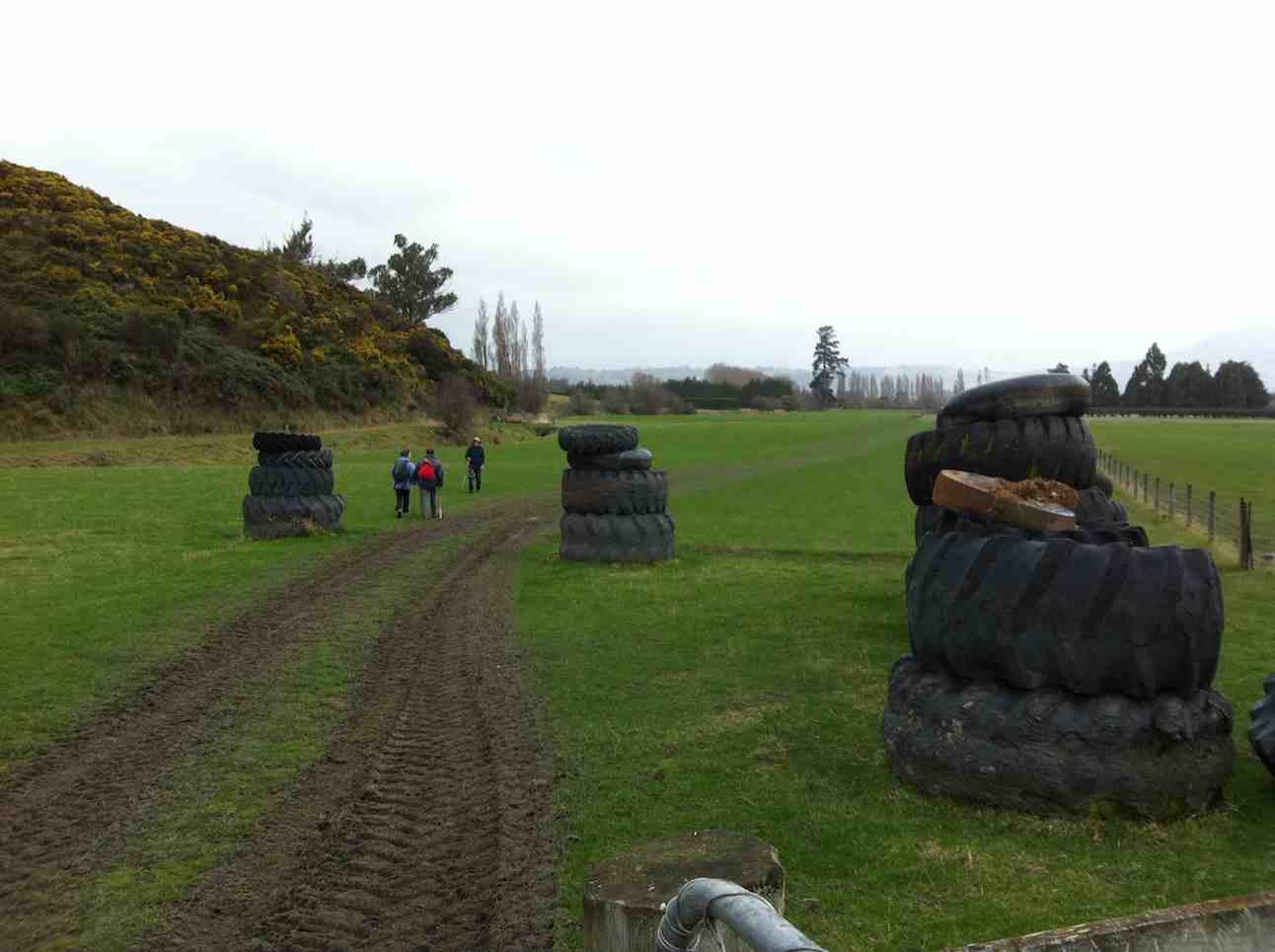
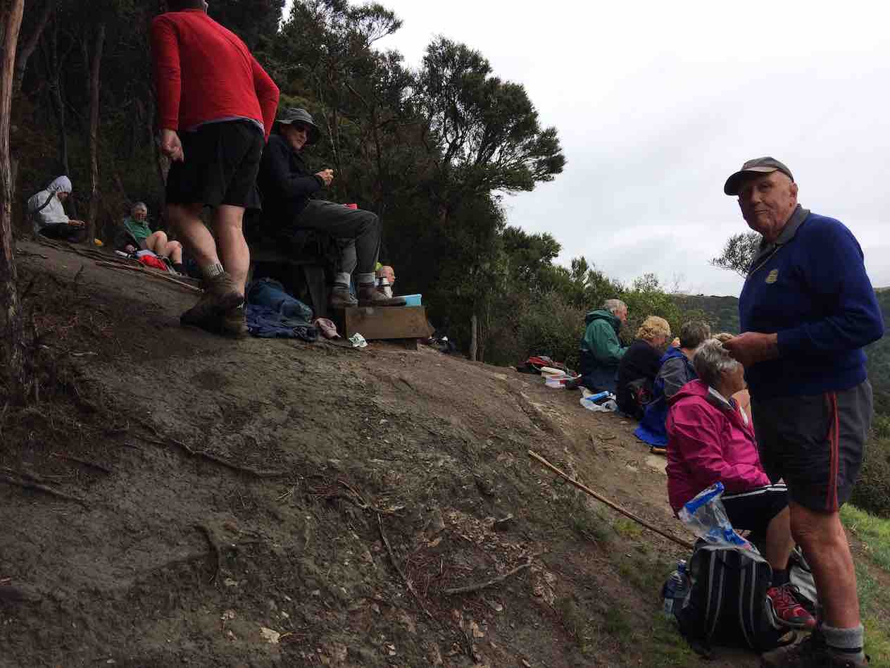
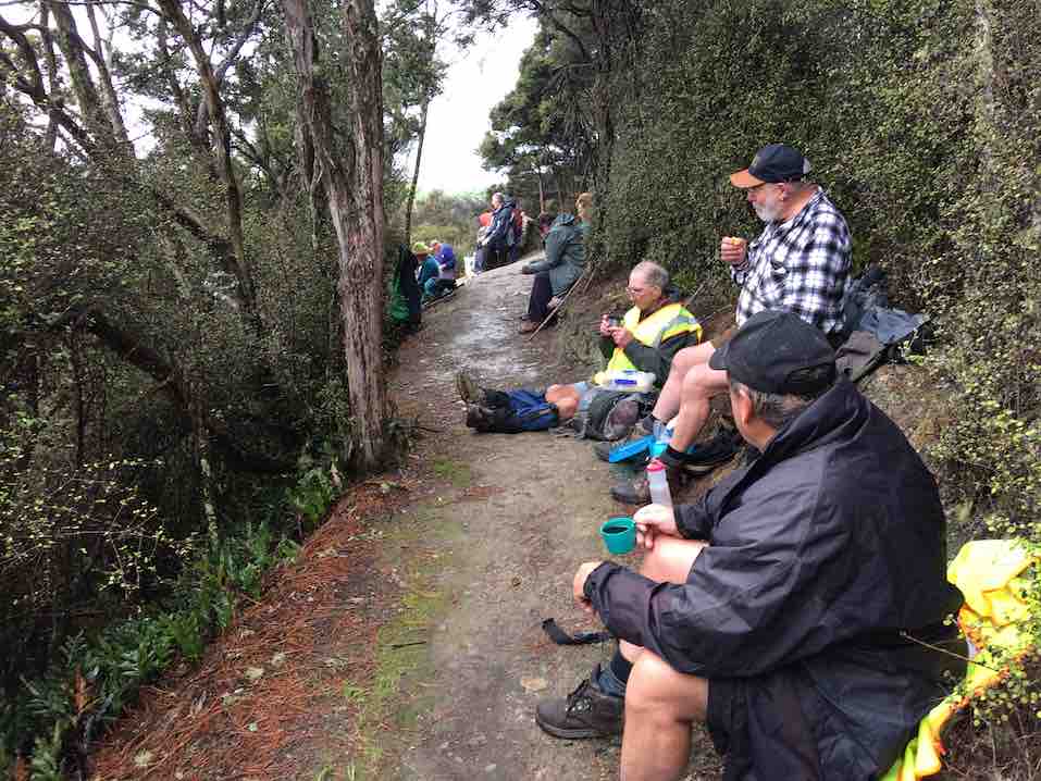
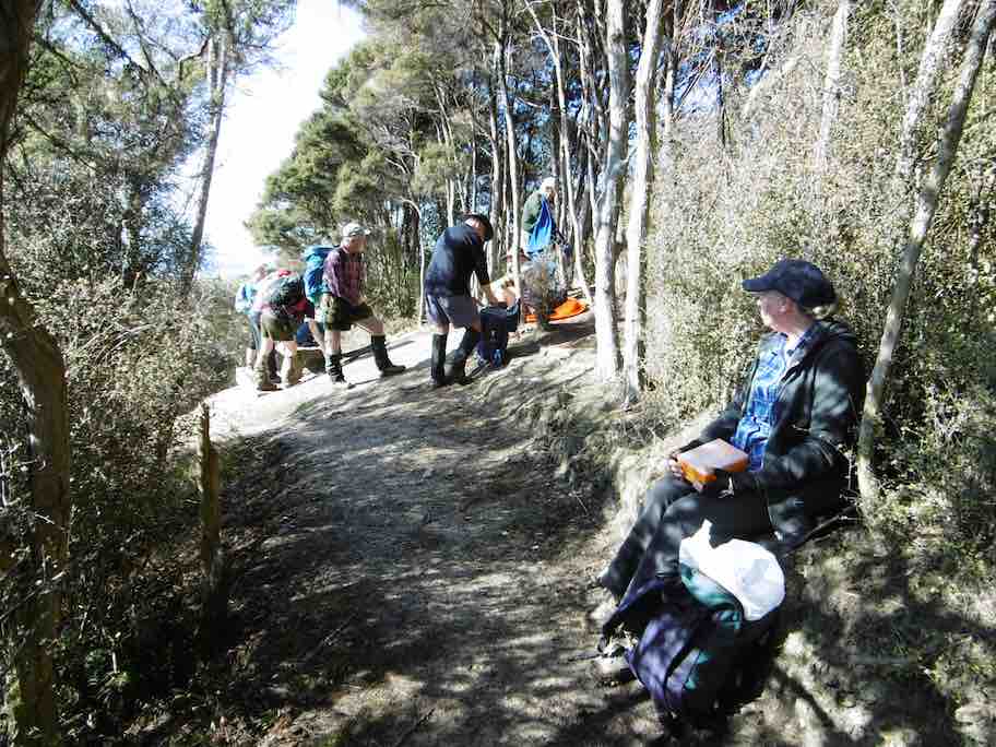
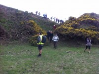
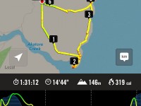
14. 18/9/2019. Hikers. Akatore Area. Leaders Bob Mitchell Kathryn Fagg
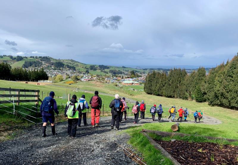
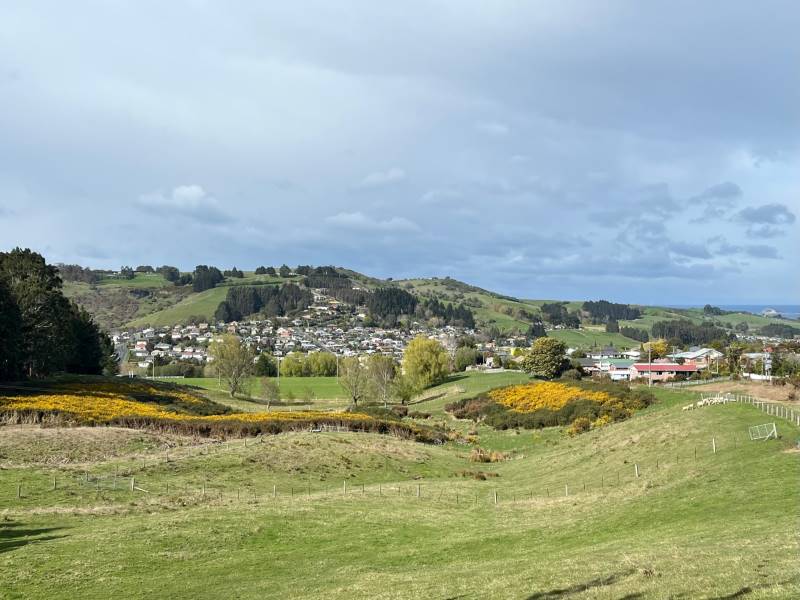
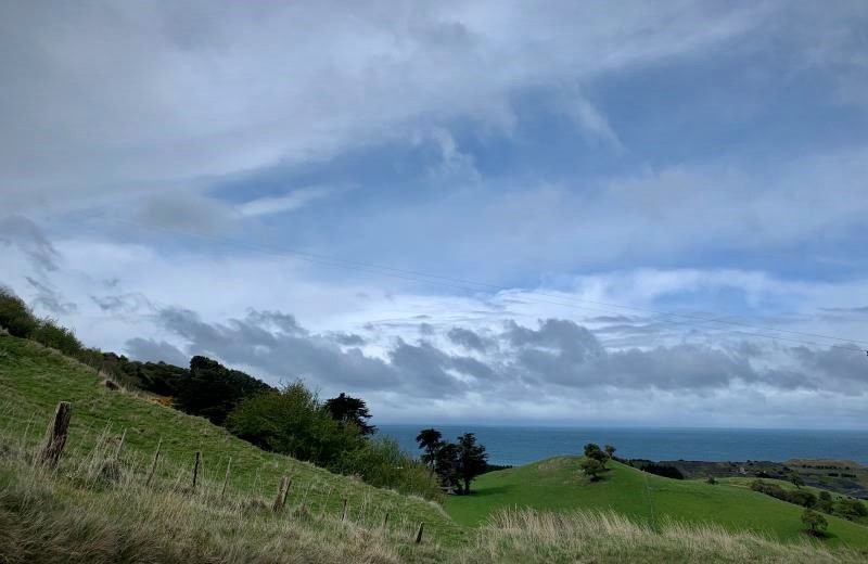
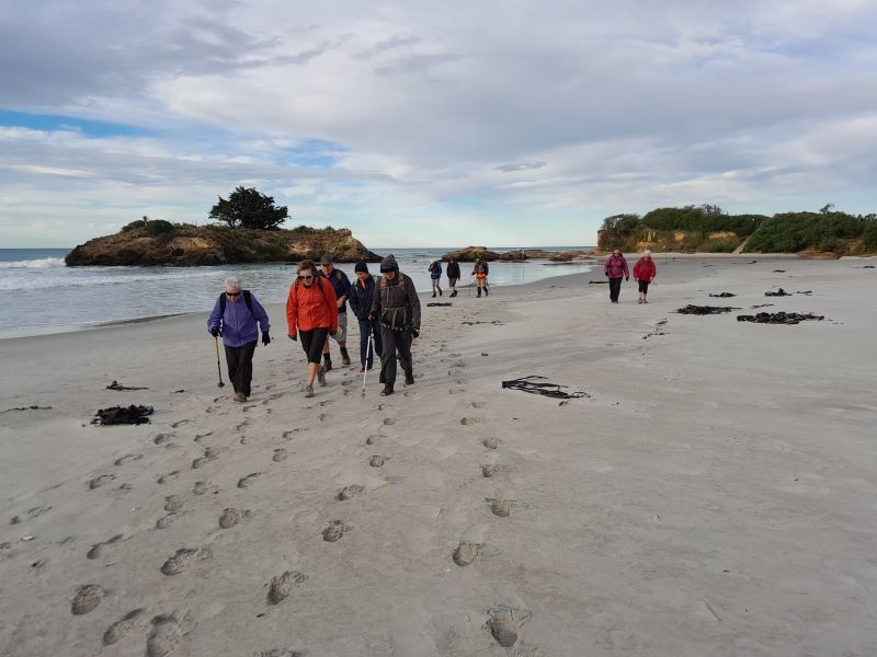
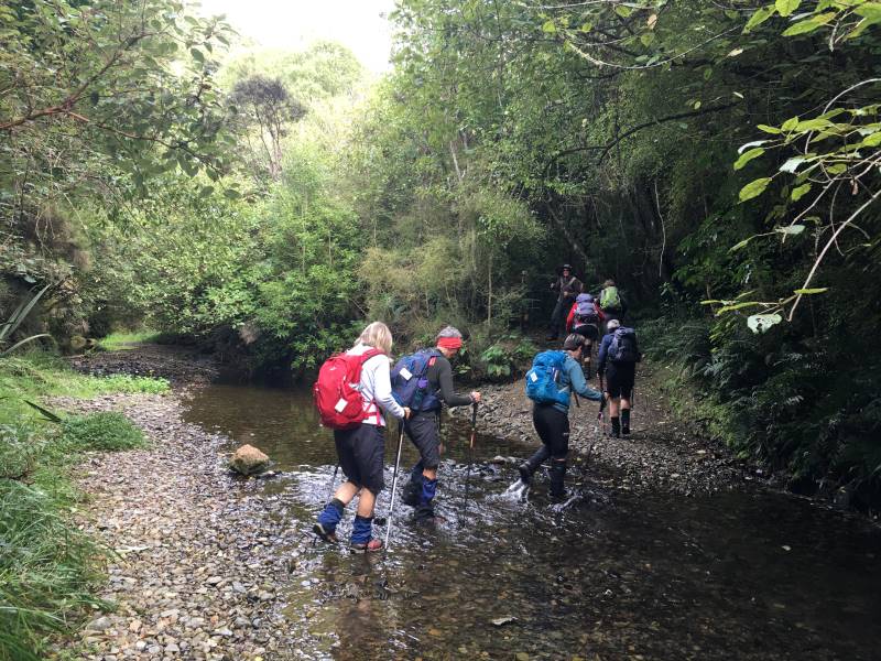
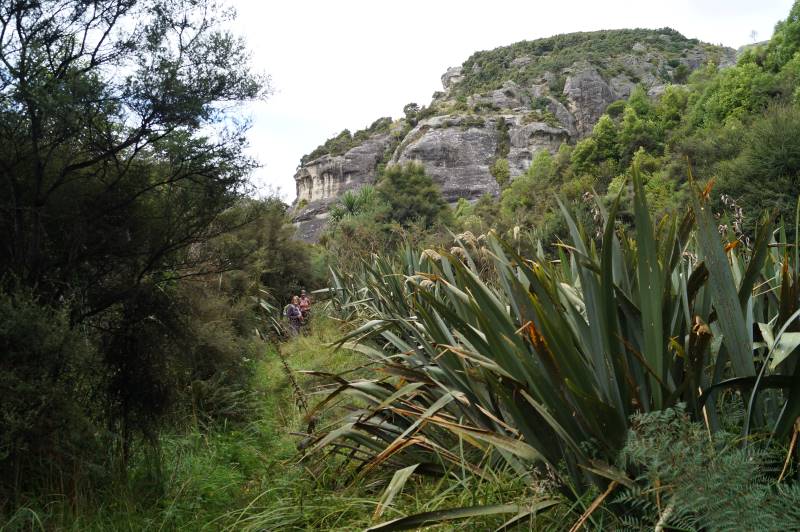
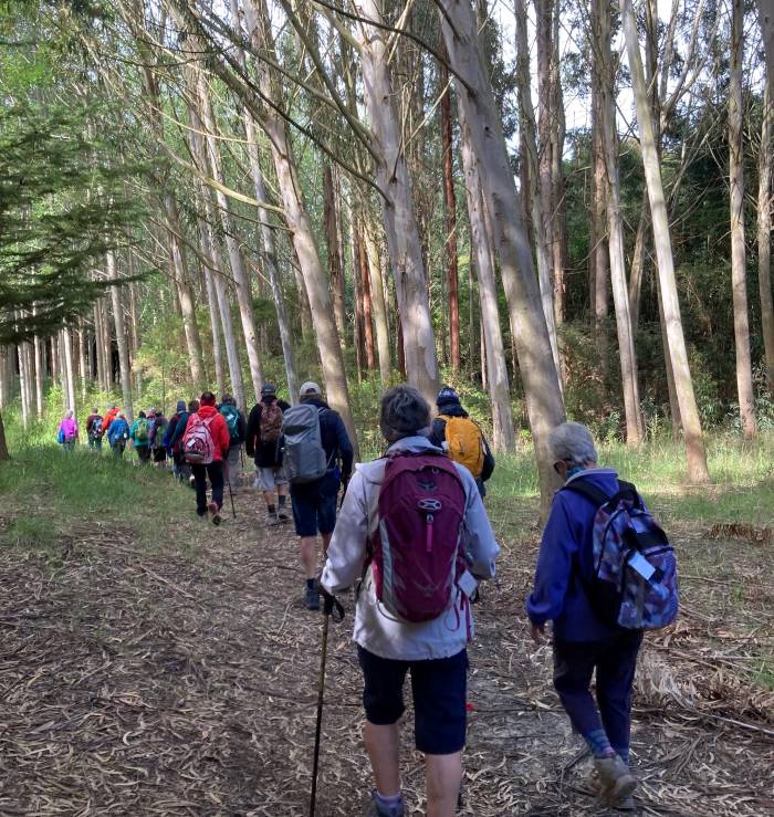
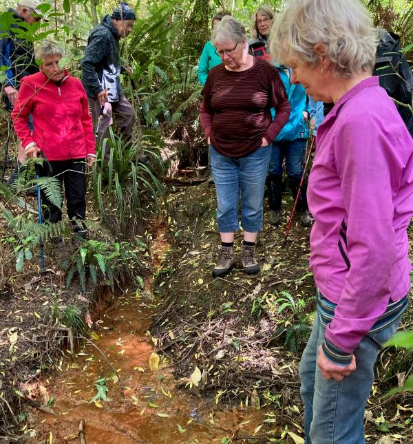
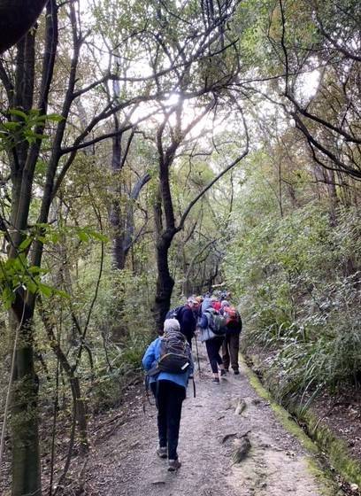
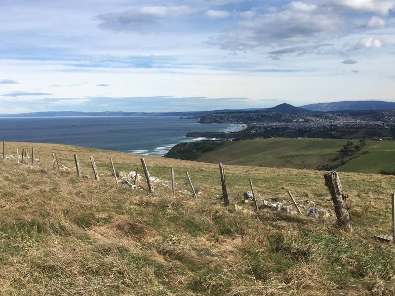
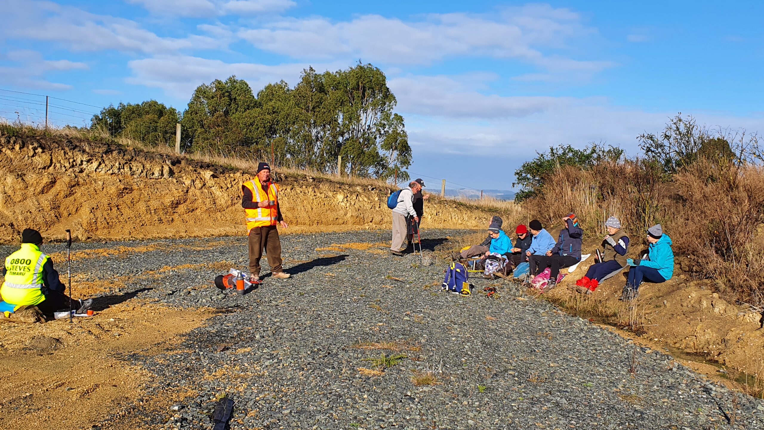
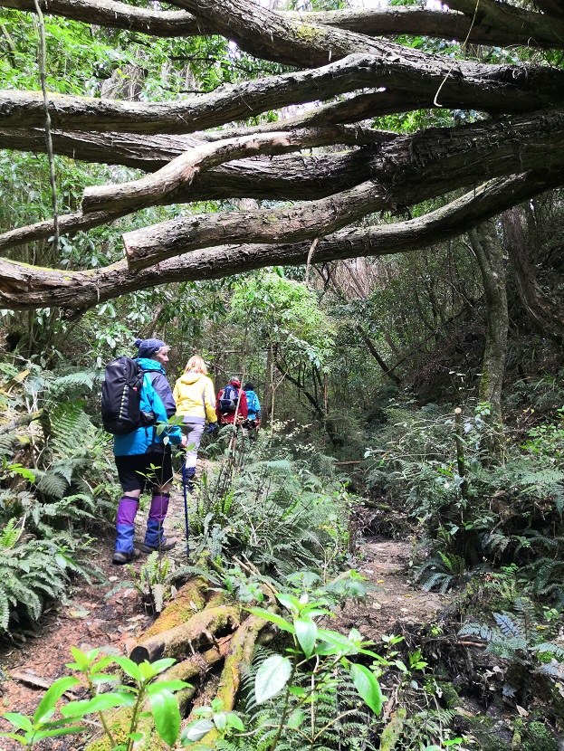
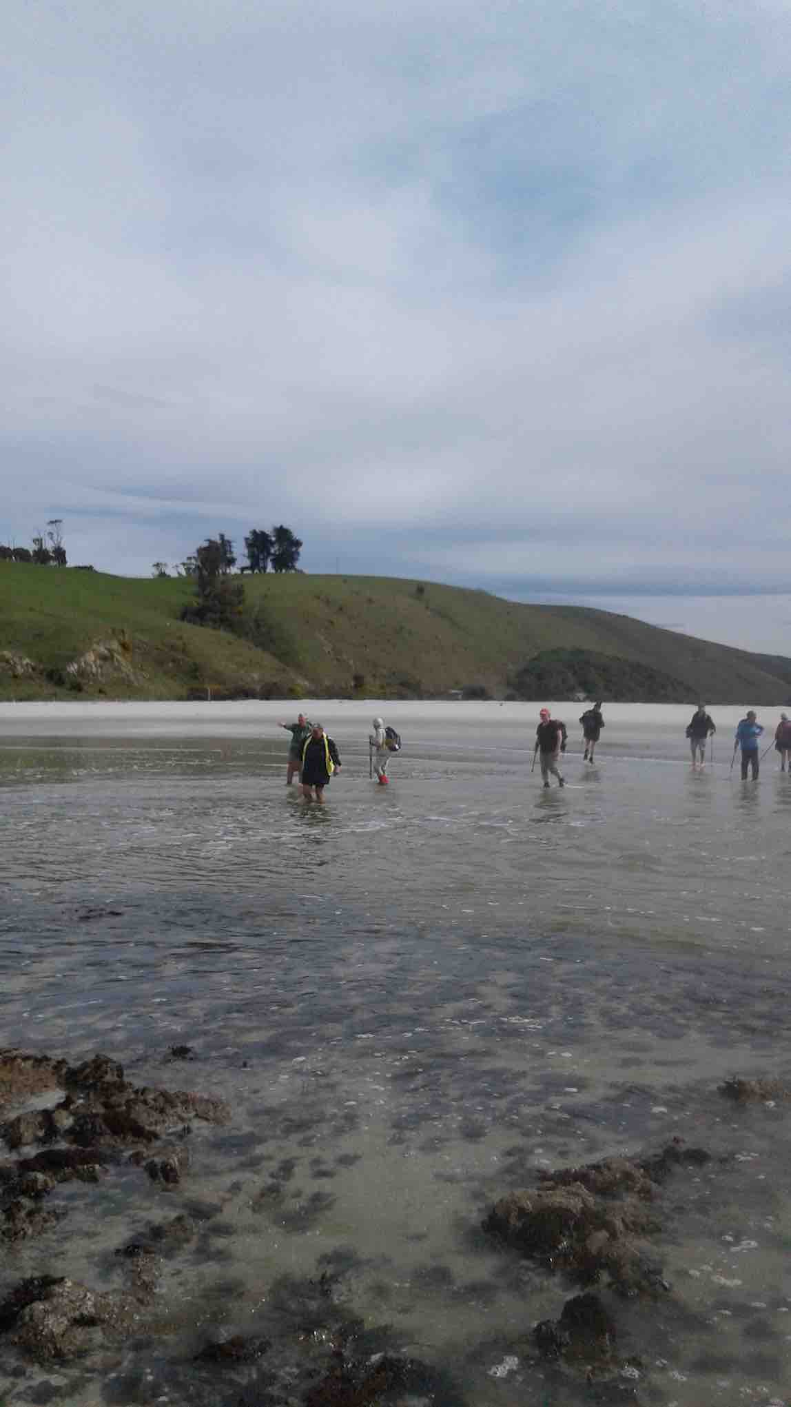
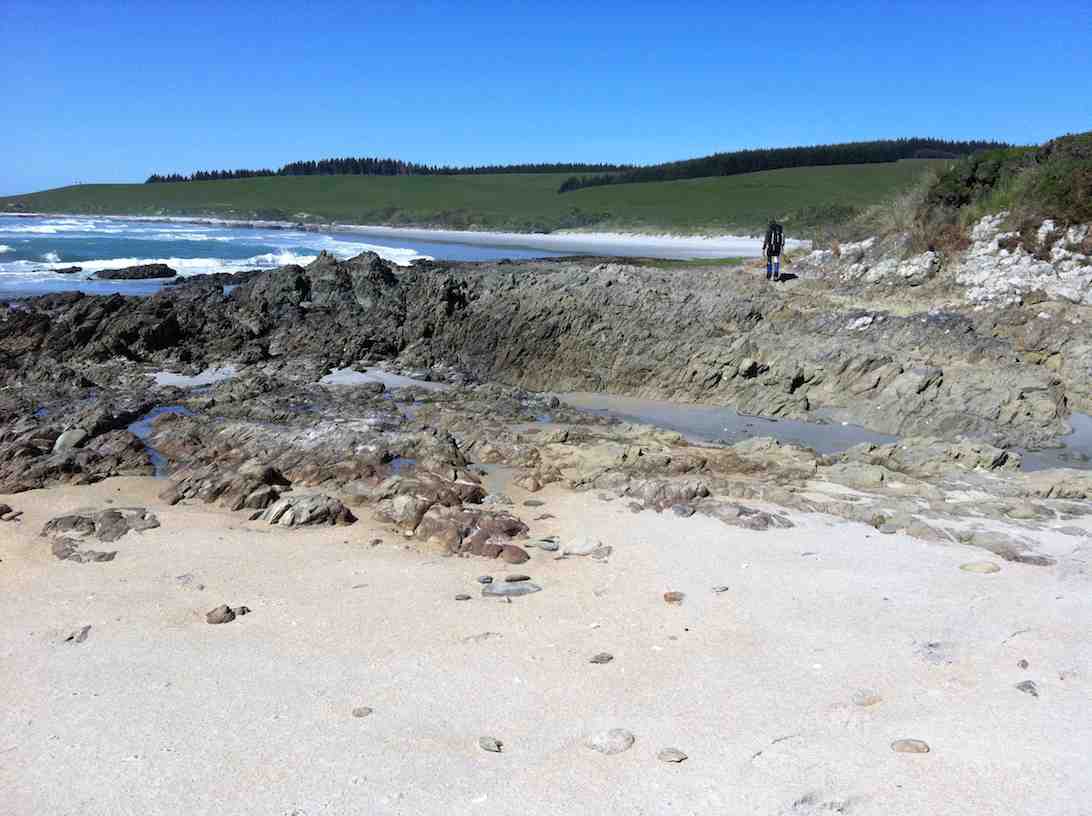
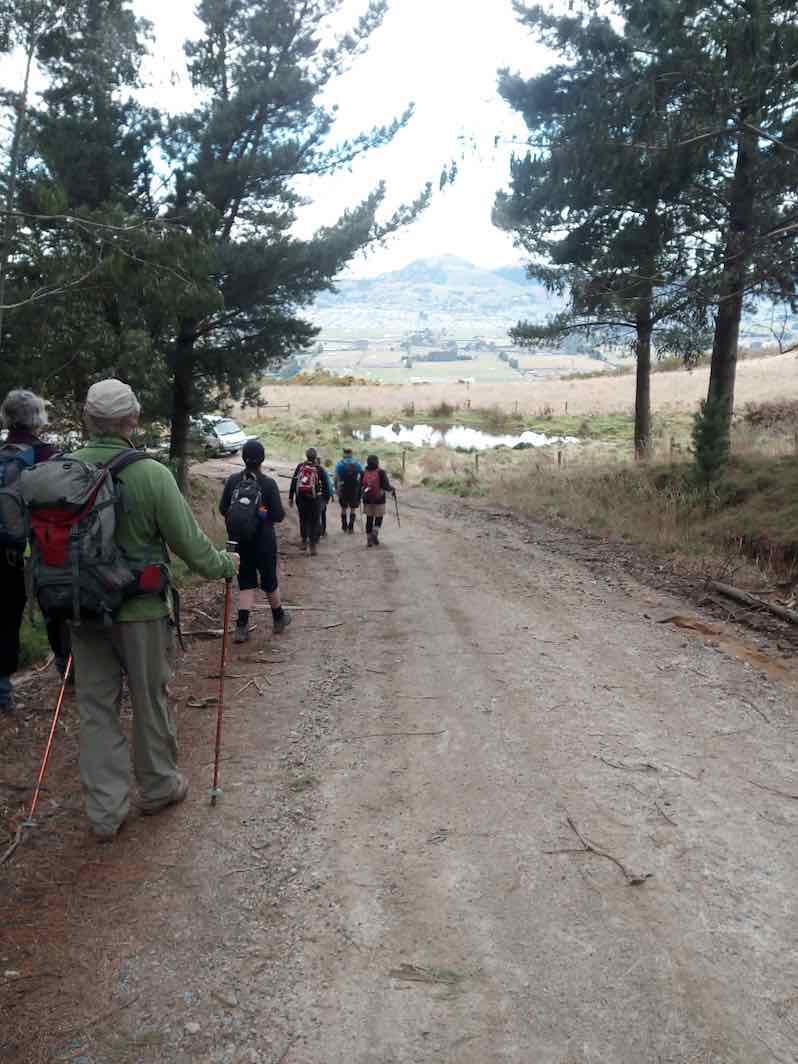
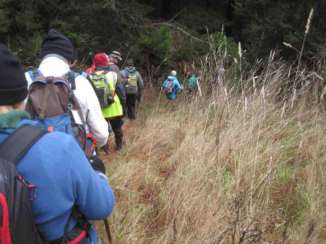
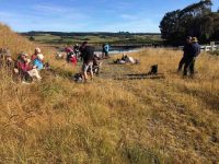
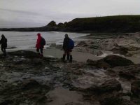
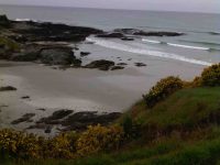
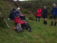
On another lovely spring day we left Peter Johnstone carpark and met with Bob who had organised the hike at the cattle yards on his son Braden’s Farm at Akatore. 18 hikers walked up the road and stopped for morning tea on the roadside where the views were great. We then walked through farm land and down to the beach where we had lunch. Then on through a bit of water
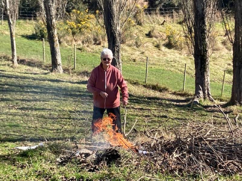
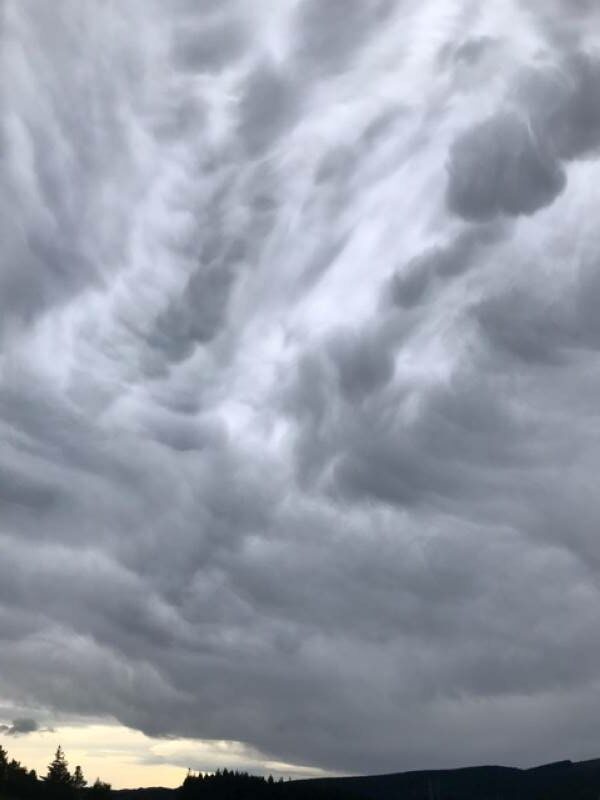
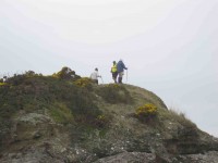
(Jan B. pic.) One of her own, sent when she noticed no one else had sent one.
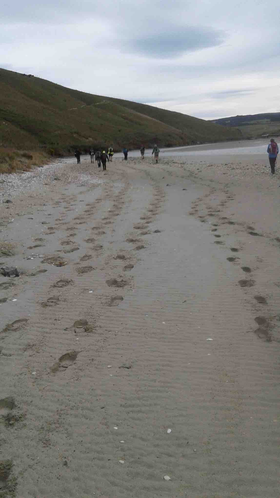
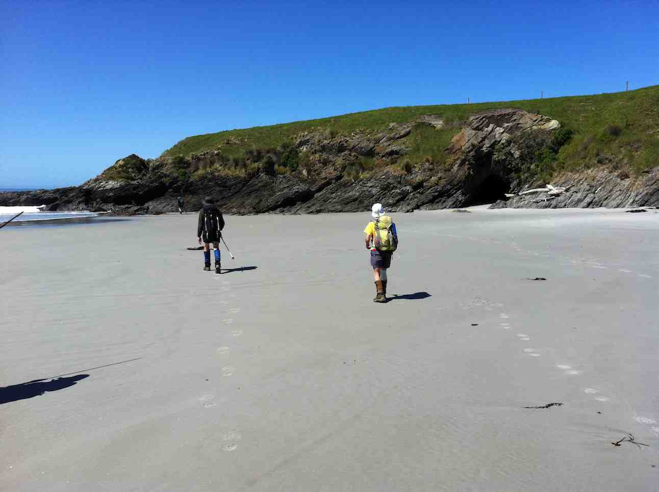
… and followed the creek around …
(Jan B. pic.) One of her own, sent when she noticed no one else had sent one.
… up to the road.
(Jan B. pic.) One of her own, sent when she noticed no one else had sent one.
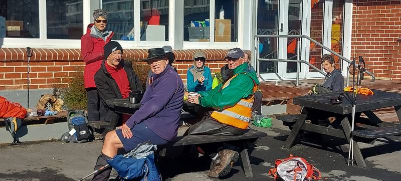
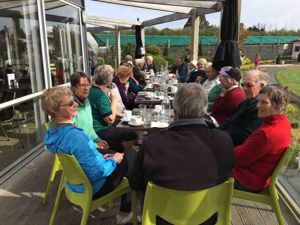
We then had a nice climb up the road until we arrived back at the cattle yards. It was an 8.5 k walk with roads, farmland, beach, water and a nice climb and then we finished off at the Brighton Cafe. – Kathryn.
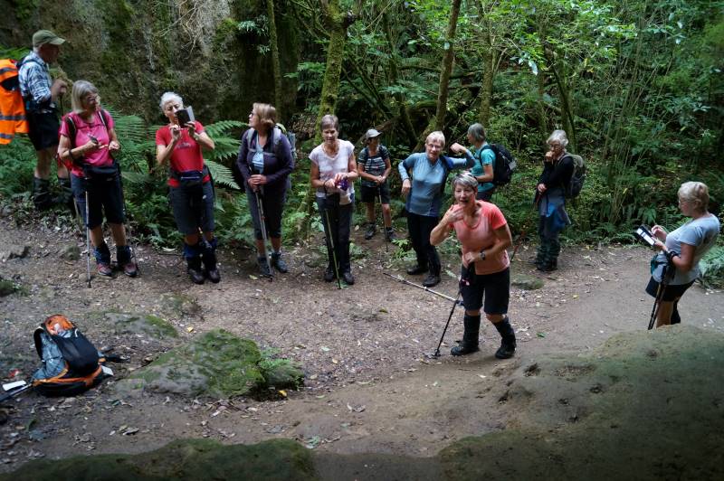
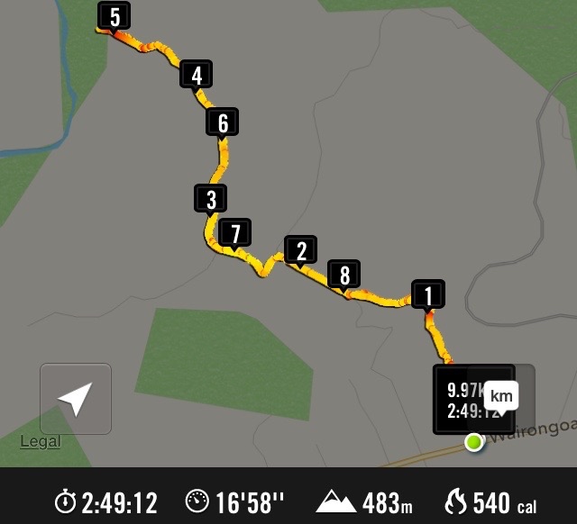
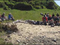
13. 15/3/2017. Hikers. Akatore Farm, Stream and Beach. H. Leaders: Bob and Lesley.

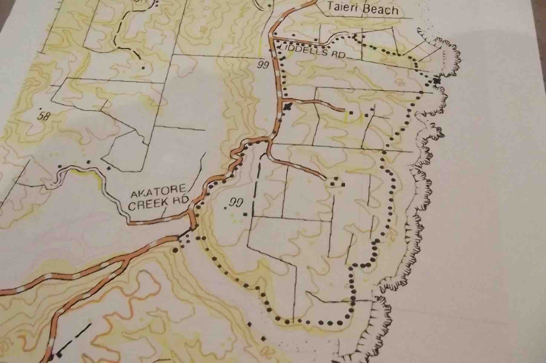
Route Map, courtesy Clive. Cars parked up from lunch spot. Distance walked: about 8.5 km.
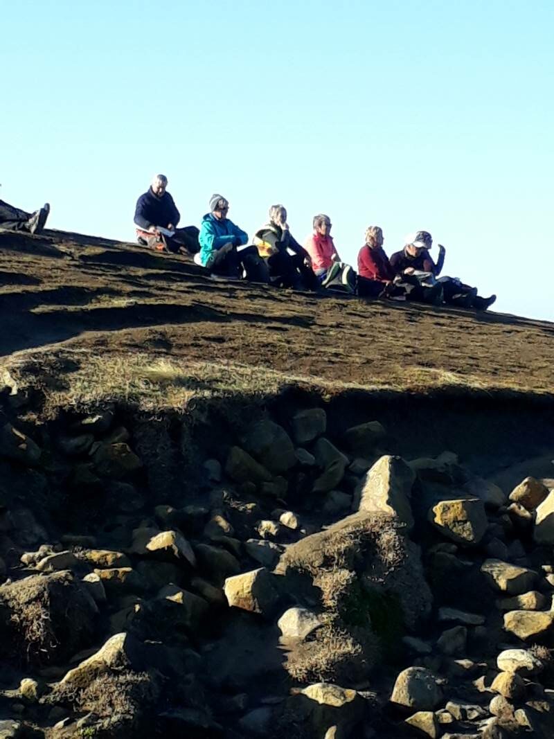
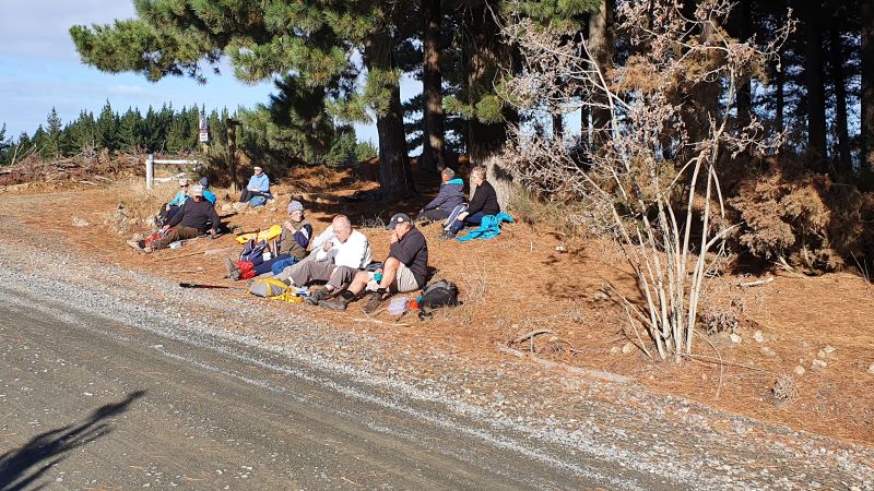
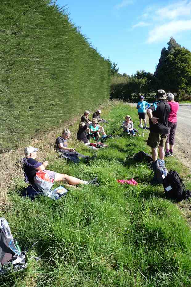
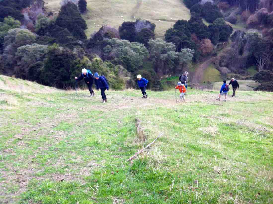
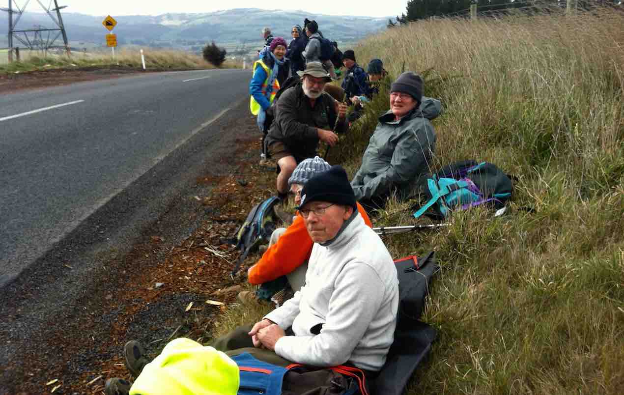
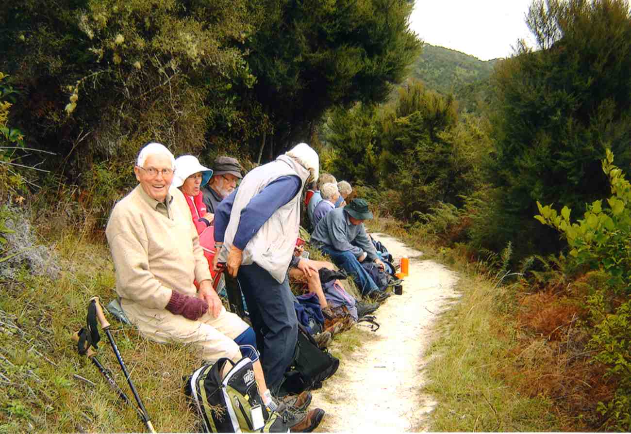
Bob lead 24 Hikers down the road to the bridge over the Akatore River,where we sat in the sun for morning tea.
Morning tea across the Akatore Bridge in the sun. (Ian pic and caption.)
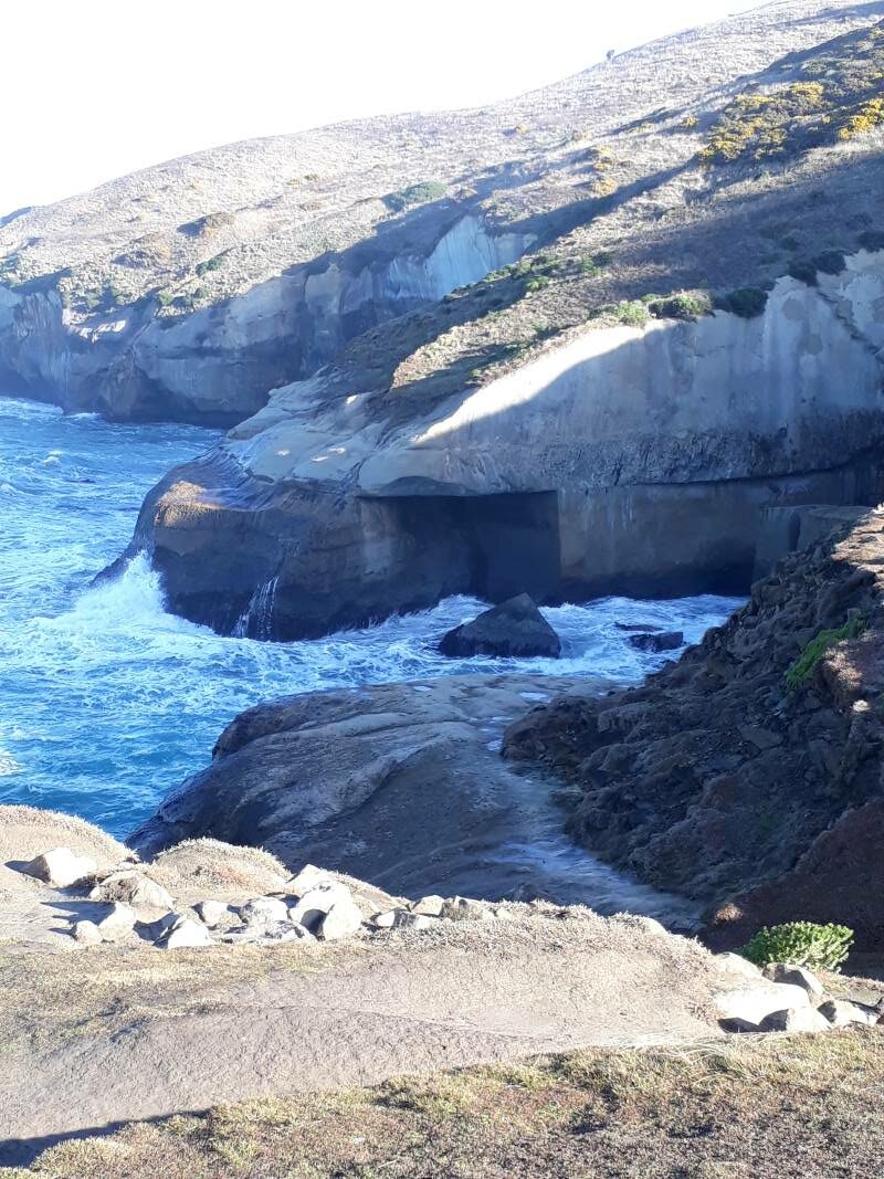
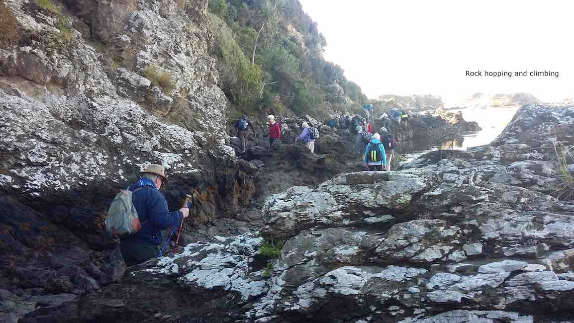
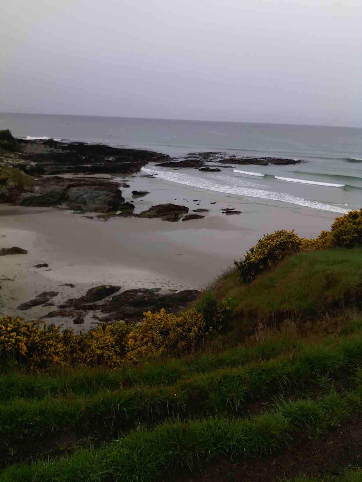
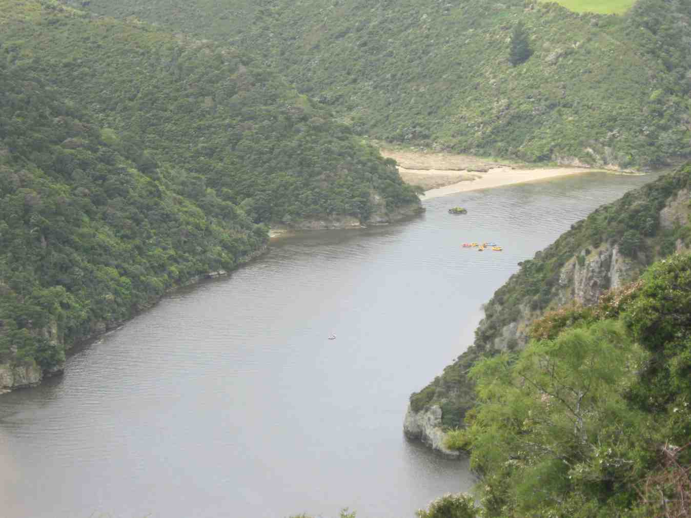
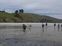
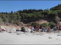
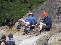
The tide was low enabling us to walk along the estuary,to the coast.This included a few moments of rock hugging,with many helping hands to get around a bluff.
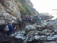
Rock hopping and climbing. (Clive pic and caption.)
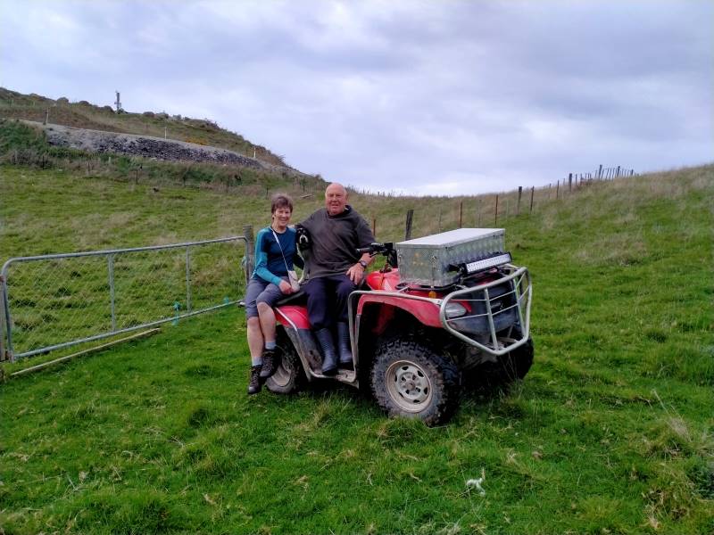
A few people declined and returned to the road,to be picked up by Braden,Bob son,on his farm “mule”and some rejoined the group.
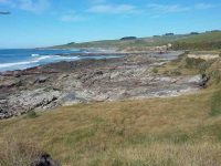
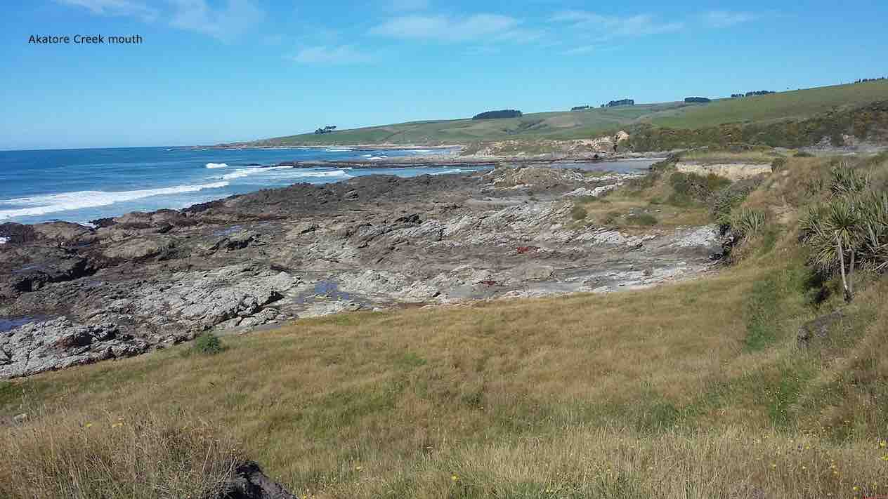
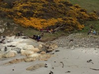
Akatore Creek mouth. (Clive pic and caption.)
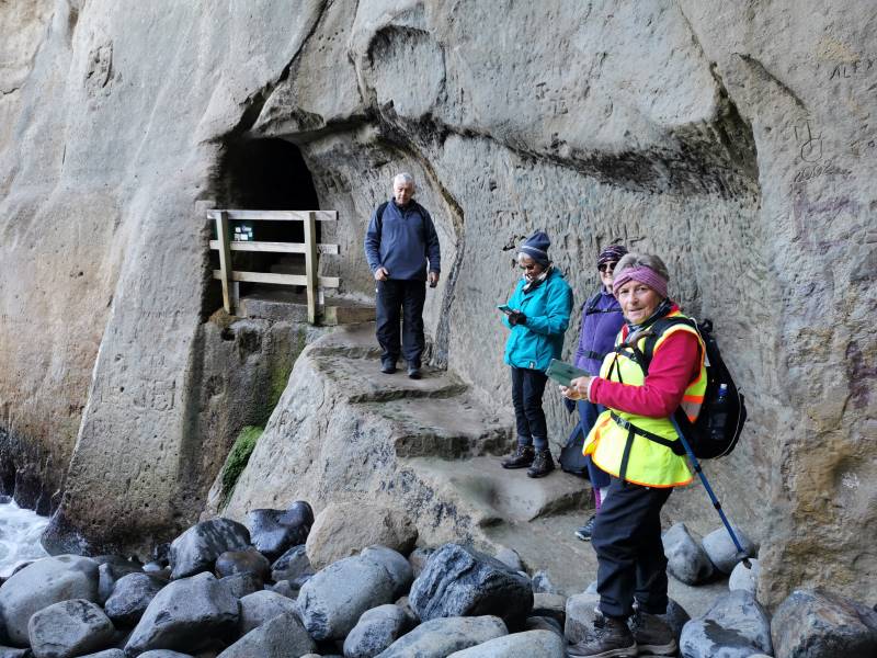
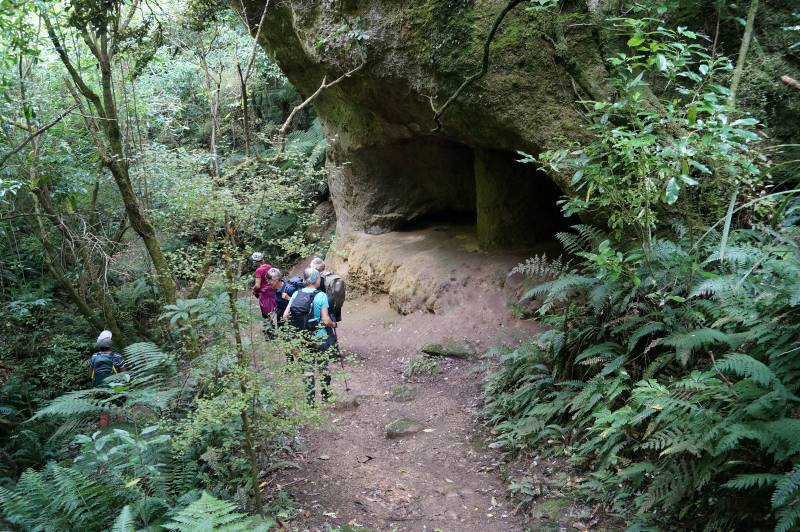
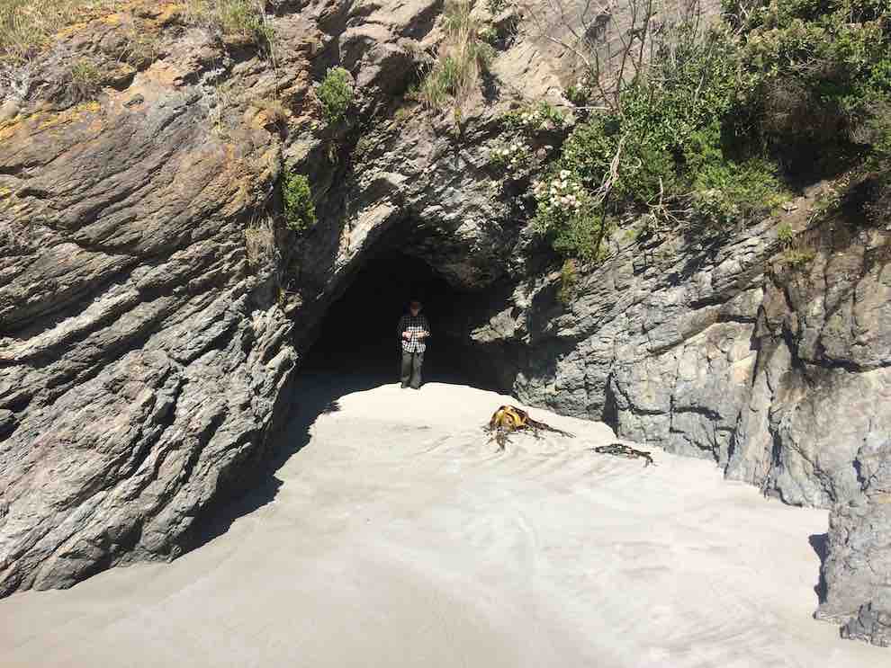
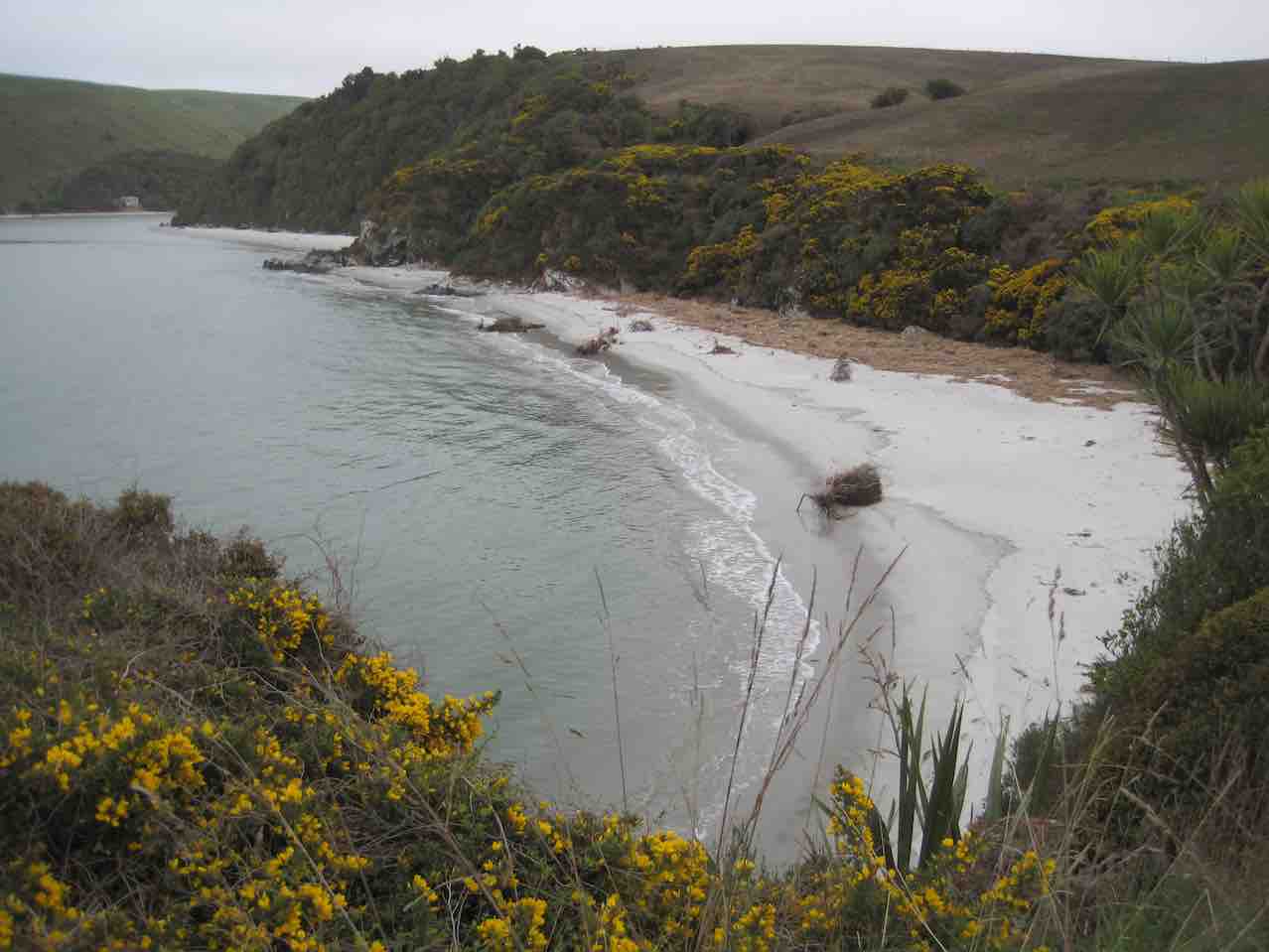
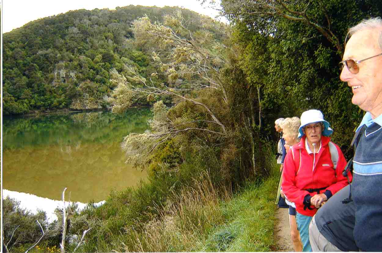
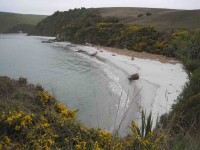
It was a clear,sunny day,with little wind and the journey along farm tracks,above the rocks,was good hiking.We lunched and explored at a private beach, …

Kevin emerging from a cave on the beach at the lunch stop. (Ian pic and caption.)
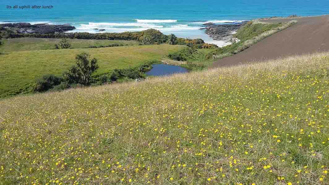
… then climbed the hill back to the cars,completing about 9km.
It’s all uphill after lunch. (Clive pic and caption.)
It was a different route on a favourite area,enjoyed by all, with coffee at Wals. – Lesley.
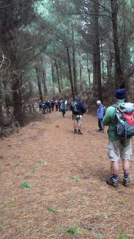
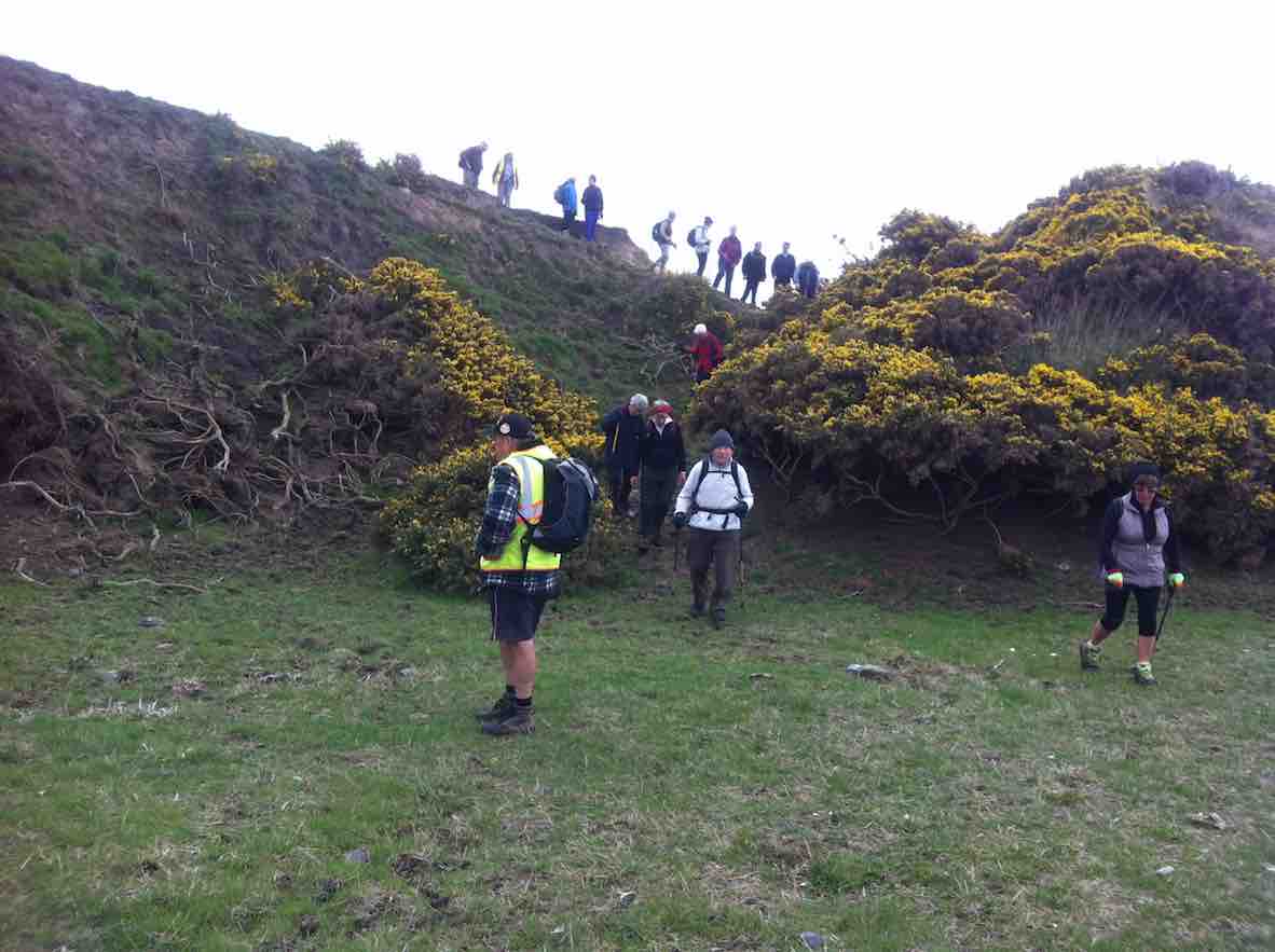
12. 5/10/2016. Trampers. Akatore Farm and Beach. E. Leader: Arthur H.
The windscreen wipers worked away as the bus took us for our tramps, the Hikers being dropped off first to walk the Millennium Track from the Henley end.
The Trampers were taken to Taieri Mouth, and then down the Akatore Road to the Taieri Beach Road, where we dismounted.
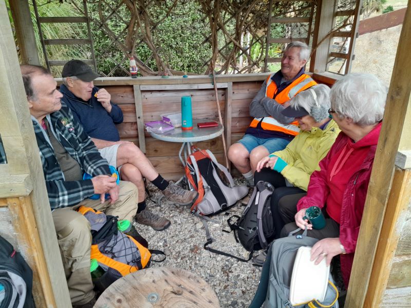
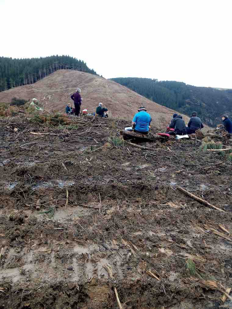
It was right on 10 o’clock, so morning tea was attended to as the first priority. A convenient ledge sheltered us from the cool breeze and light rain.
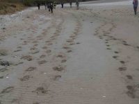
We walked down a long paddock to reach the sea. The paddock being recently cultivated was quite sticky from the rain. Our boots grew in size somewhat.
It was quite a relief to reach a lovely sandy beach, with the tide well out.
Down on beach copy. (Helen pic and caption.)
Turning right, we headed south, aiming for the mouth of Akatore Creek. The light rain was easing off slowly and after a while desisted altogether.
Along the beach, then it was up in the paddocks briefly to avoid a difficult patch of rocks.
It was most pleasant following the coastline. Interesting rocks, some small sandy beaches and sandy patches interrupted the mostly rock.
Lovely beach. Helen pic and caption.)
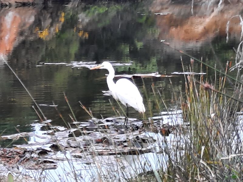
Quite a lot of bird life was evident – lots of seagulls of course, oyster-catchers, pied stilts, a pair of terns overhead, and paradise ducks out in the paddock.
After inspecting an interesting cave, we had to climb up to the paddocks for a little. Descending again, we had a nice grassy strip of grass to follow, above the rocks.
We came to the Akatore Creek mouth at 12 noon. It was almost low tide, and with a considerable flow of water exiting the creek.
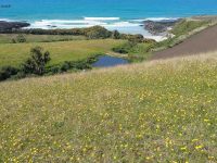
Lunch was partaken of in the shelter of a steep bank, with some lovely yellow flowers about The breeze was quite light, but cool.
Lunch spot at Akatore Creek. (Helen pic and caption.)
The next leg of our journey wass uphill through the farm paddocks. A large mob of very friendly dairy heifers followed us along the fenceline as far as they could.
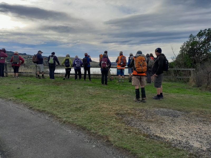
At the top of the hill we devoured a little to the left to get a good view looking down onto the Akatore estuary and environs.
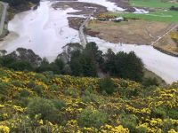
Road and tidal area. (Helen pic and caption.)
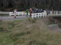
Out onto the road, we followed it for two kilometres to arrive back at our starting point at 1.35 p.m.
A little early for the bus, we walked the road to Taieri Mouth. Downhill was easy. A very friendly pet lamb wanted to join our group after escaping from his paddock. But we had to be firm! Near the Taieri Beach School is an animal park (closed) where we glimpsed various species, including alpacas, geese, deer and ostriches(?).
We kept walking along the road, not so enjoyable but many interesting houses and backyards could be viewed in Taieri Mouth. Eventually we came in sight of the bridge over the Taieri River and the bus parked at the southern end of it.
The Trampers came to the bus at 2.45, soon after the Hikers had finished. There had been seven in our group today, our distance travelled: 14.5 km maybe(?) (using a small-scale road map to estimate from) – please come back soon, Margreet!
The bus delivered us all back to Mosgiel, after which may invaded “Wals”, creating mayhem with the tables, but it was a good finish to the day. – Arthur.
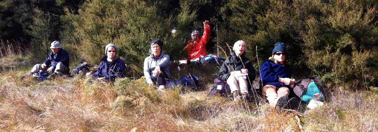
11. 23/9/2015. Hikers. Akatore Farm and Beach. E. Leaders: Bob and Leslie.
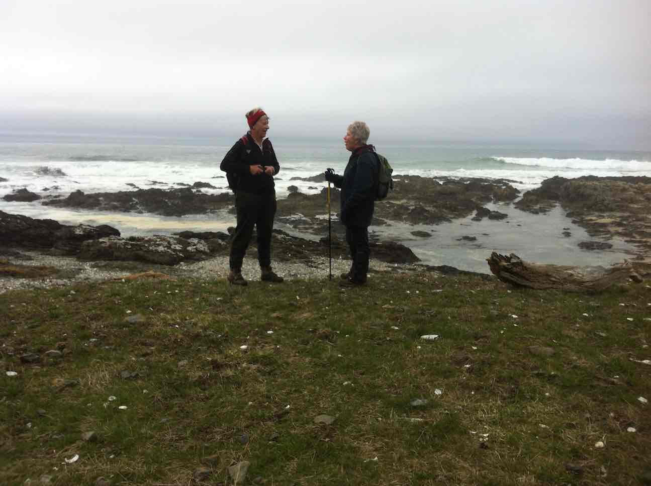
Twenty-nine of us parked at the farm’s stock yards and walked back north along the road to enter a neighbouring property, go through past the homestead, out into paddocks and down to the coast for morning tea.
A rocky knoll tempted two or three of us to climb it and view the surroundings from there.
On top of knoll. (John pic)
View from top of knoll. (Bob pic)
We climbed back out, this time heading south parallel to the coastline through paddocks, some grassed and one being freshly being turned over with a large six-furrow plough. We walked for a while down along beach and rocks …
Down to beach
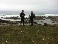
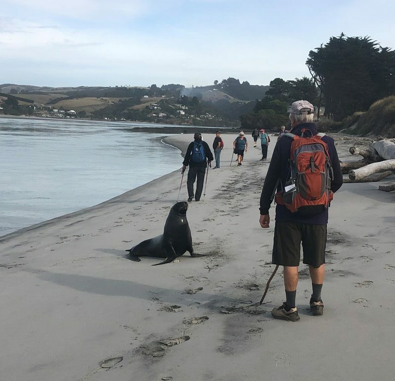
A seaside conversation
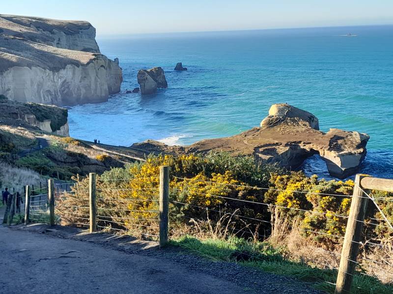
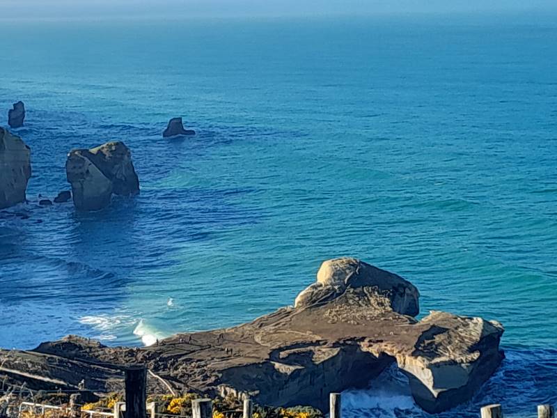
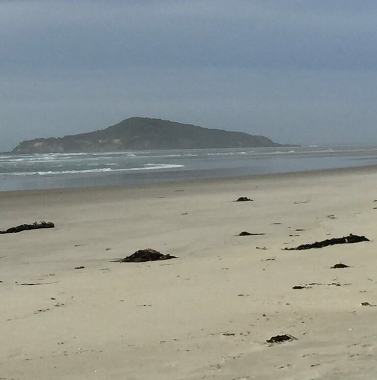
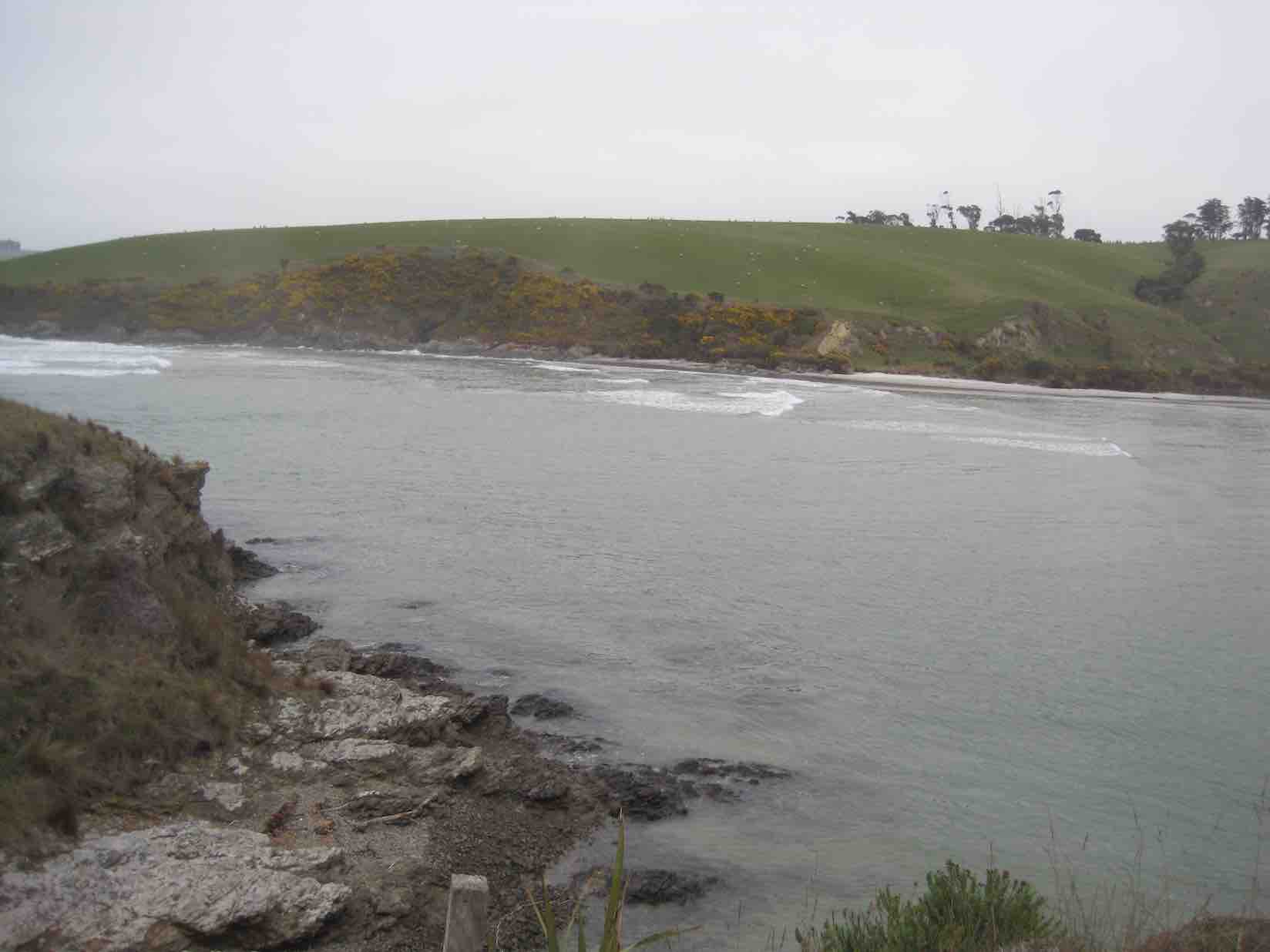
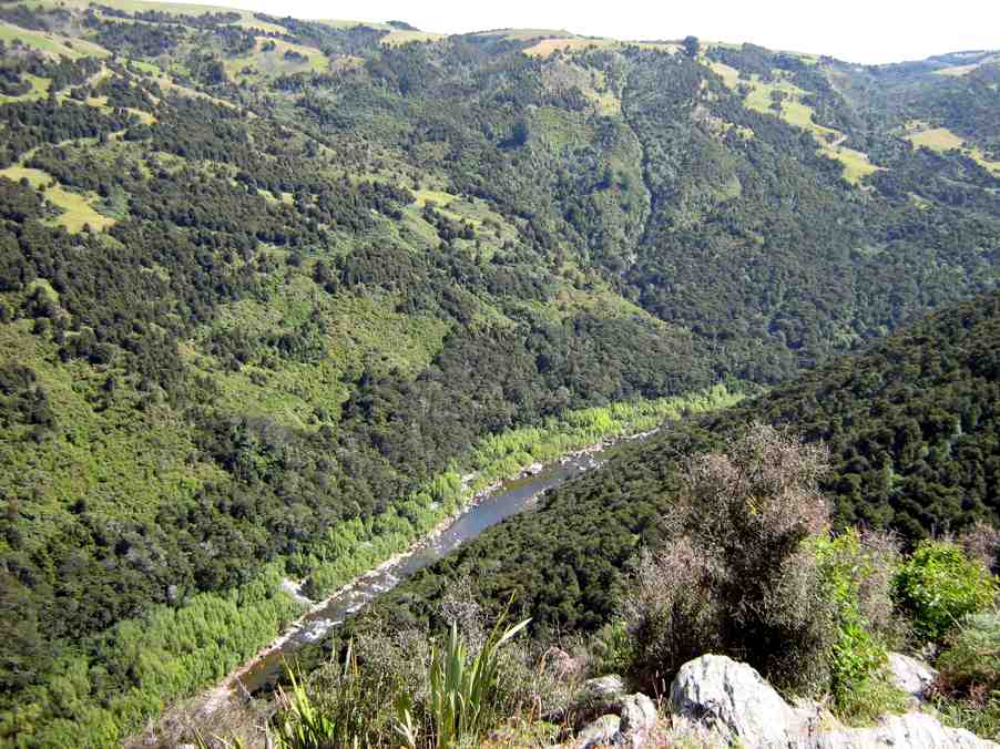
… before being obliged by the high tide to return up the the paddocks. Eventually we reached the Akatore mouth. And what a sight. What had formerly been a gentle rock-hugging stream was now a wide mouth of breaking surf from the near side right across to the farther one.

New Akatore mouth 1. (John pic)
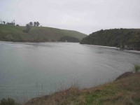
New Akatore mouth 2 (John pic)
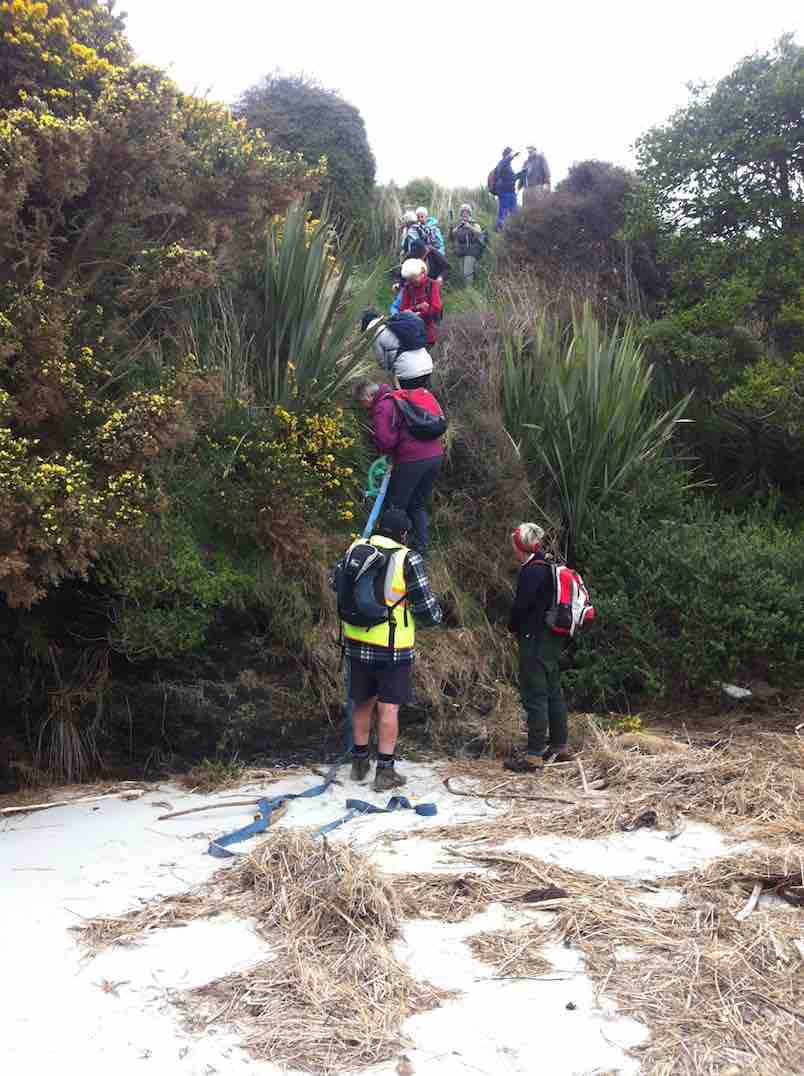
No beach, or none at this tide level. Bob led us along the outside of a fence upstream just a little to descend a steep back to a new beach where once the stream had flowed. He had provided us with a huge hawser rope tied to the fence and lengthened at its end with a strapping belt stretching right down to the new beach.
New beach. (John pic)
With its aid, we all made our way safely down the cliff-face, …
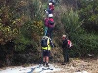
2nd descent
… each doing so in our own fashion.
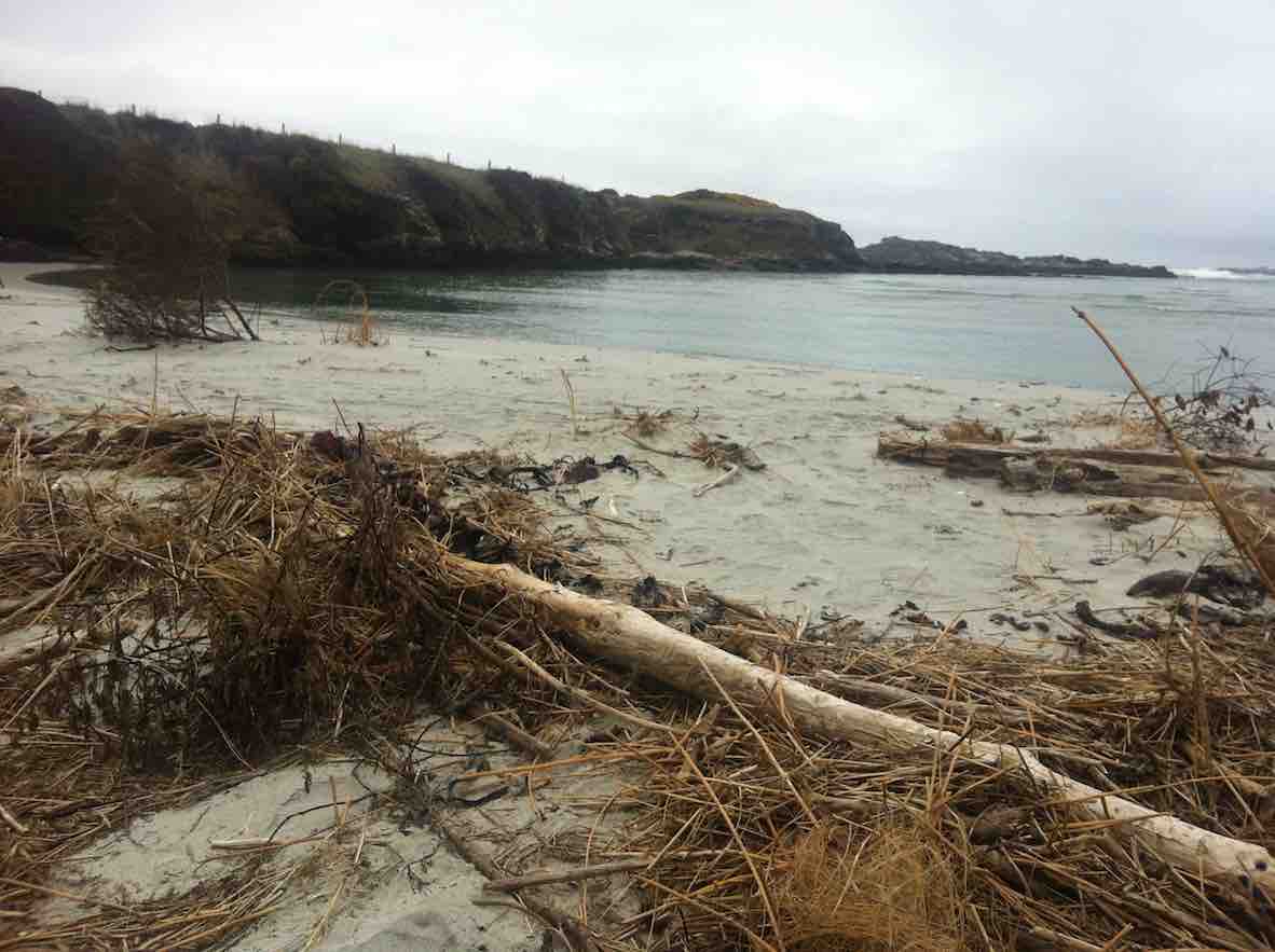
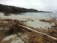
We lunched there, finding seating on lumpy dry marram grass, on the new beach of sand that must have been metres deep. What a powerful transformation the high seas had made of the old mouth we had become accustomed to.
New Akatore mouth (See below in 2011 report, click on video of old creek mouth)
After lunch, Bob led us up the true left edge of the stream along an edge made very narrow with an ebbing tide that still had a long way to retreat. At the first point there was no option but to make one’s way around rock still surrounded by shallow water. Never mind. The rest of the way was dry, if pebbled with rocks larger and smaller in places, sandy in others. We made our way then up to the bridge where Bob introduced us to that steep road climb that takes one right up from sea level to the top where the road first turns down. It made for a good workout, giving hikers with their varying energy levels the chance to brave the climb at their own pace. However, beside the rope provision back at the lunch stop, behold there had also been Bob’s ute sitting down at the bridge for any who didn’t relish the prospect of the climb. But bravo, no one took it. And Bob was noble enough to leave it standing there, true to his leadership role, and climb with the rest, with the intention of walking back down later to retrieve it. Noble? Would might even say silly not to enjoy ride back up in triumphant style. Painful certainly, this reporter imagines. It’s a long hill climb to the top. Good on yer, Bob.
(It was too bad the ‘Nike + Running’ app fell over in a big way and has had to be re-down-loaded, – so no GPS record this time). This was a most interesting tramp, a replacement for the original one that had to be abandoned due to lambing. We all enjoyed the experience of a route the club had not done before, now made possible by the mighty changes the ocean had wrought on the Akatore’s mouth, and exploited by Bob. So thank you Bob (and sister Leslie!) for the planning and the advance provision of rope and ute. Great leadership! – Ian.
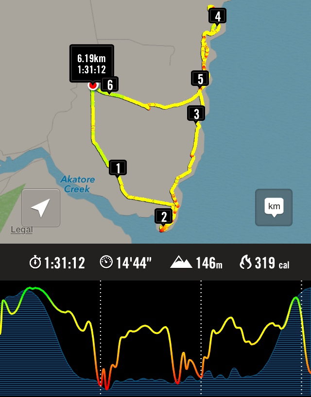
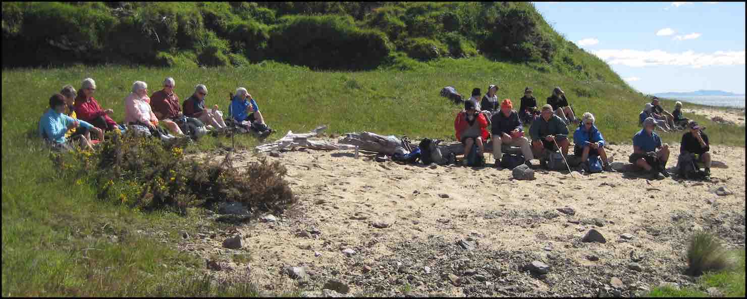
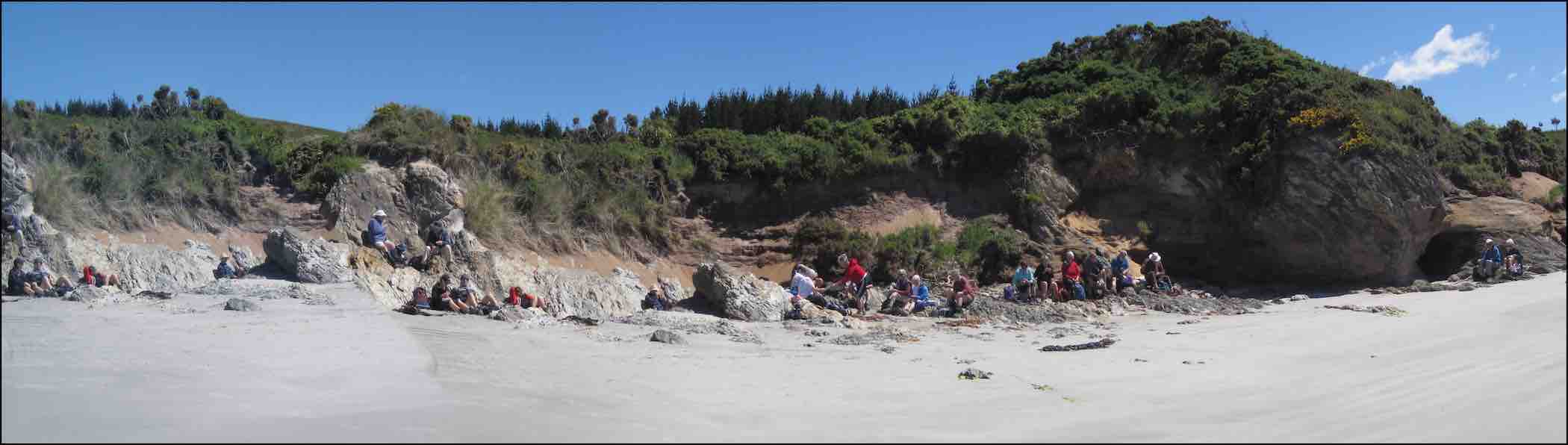
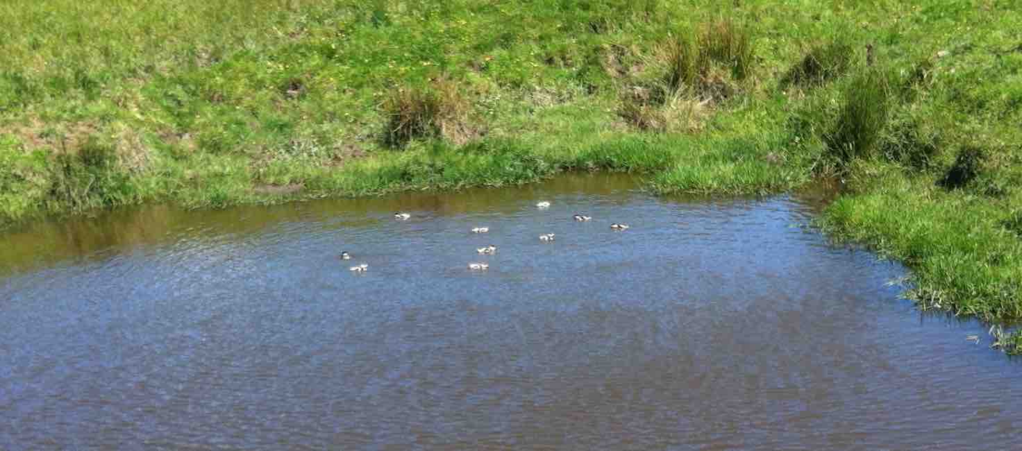
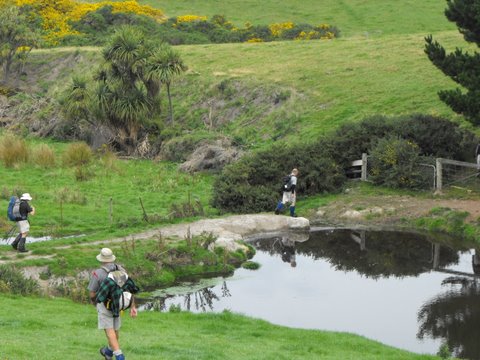
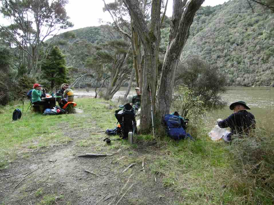
10. 26/11/2014. Hikers. Akatore Farm and Beach. E. Leaders: Leslie and Bev.
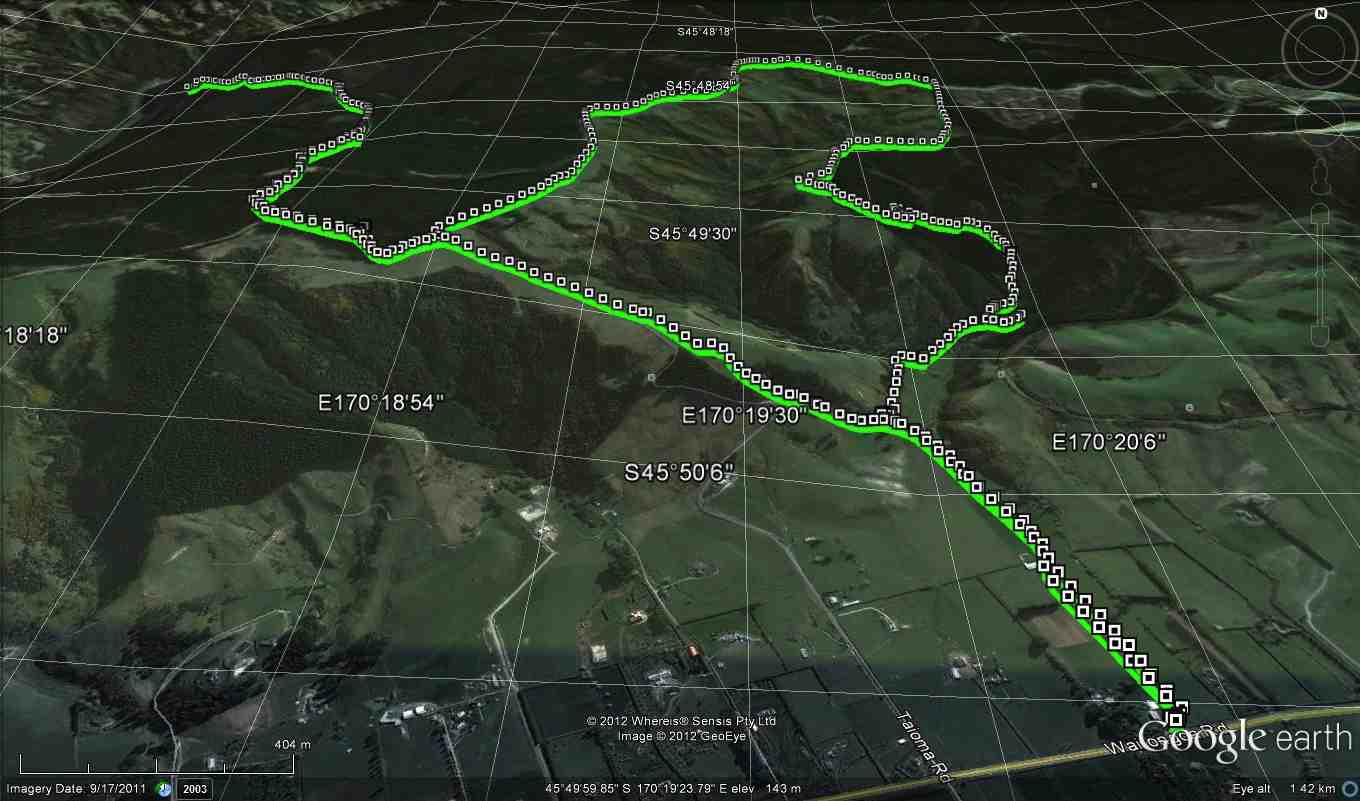
GPS of route
Cuppa. (John pic)
Lunch panorama. (John pic)
Comfortable? (John pic)
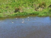
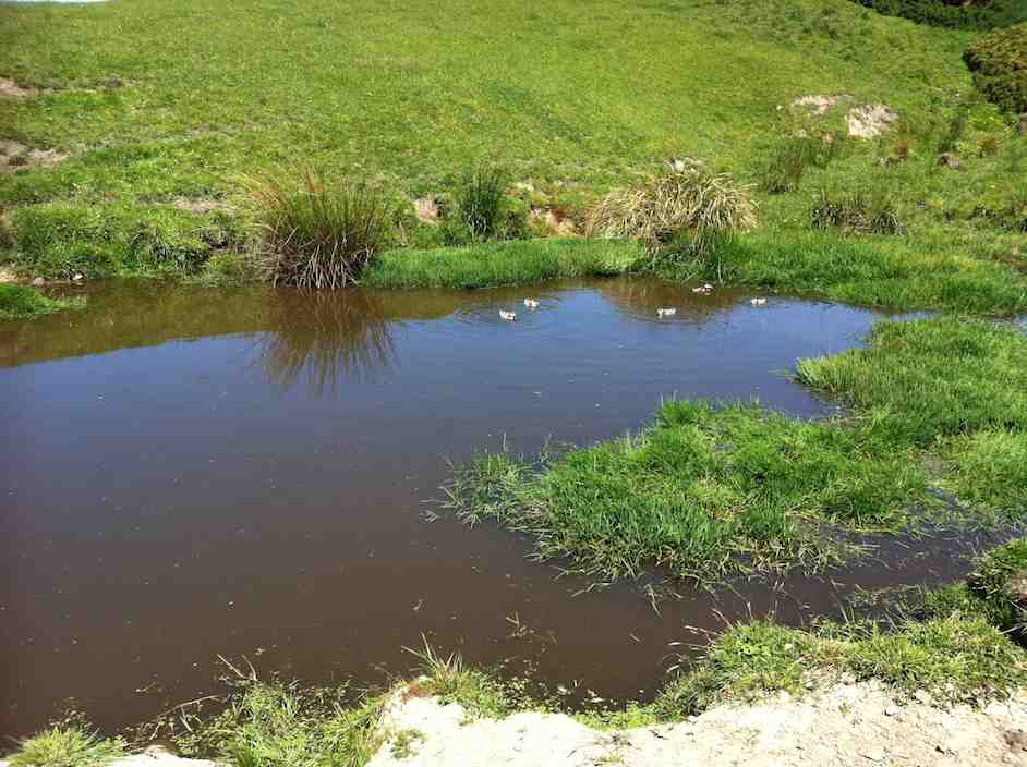
Paradise Duck Chicks in pond.
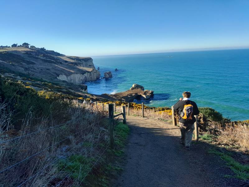
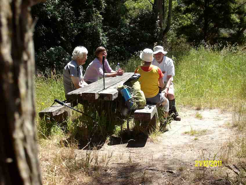
26/6/2013. Trampers. Livingstonia Park to Akatore. Beach Walk.
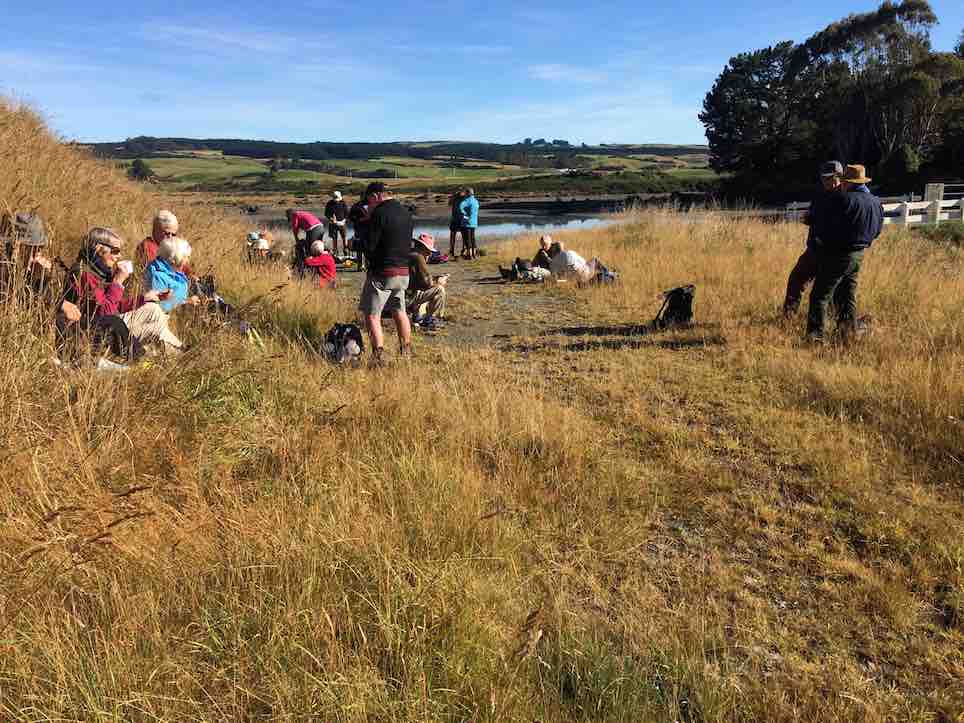
On a day that could’ve turned to rain, [according to the forecast] 8 trampers turned up for the walk from Taieri Mouth to Akatore. This is a challenging walk over the beach rocky outcrops, with some easier sandy sections for good measure. In some places it is safer to take to the farm paddocks to bypass some deep splits in the rocks. We had morning tea at the carpark before leaving, as it was already 10am, then headed off down the beach. We reached the river mouth at about 12:30, & went in search of a sheltered spot to have lunch, as a bit of a wind had come up, making it a little unpleasant.
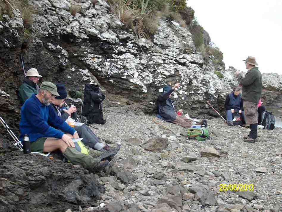
Lunch at Akatore River mouth. Pic has Pat obscured behind Eric. (Ken pic and caption)
We then retraced our steps, with two of the group deciding that the farm paddocks offered a better route back again. The rest of us did some beach, & some farm walk back to the cars, which took a bit longer than the outward trip due to tiredness creeping in. We arrived back at the carpark at about 4pm. (13.9km, 3hrs 44min, moving ave 3.7km/h.) – Ken
9. 8/2/2012. Hikers. Akatore farm walk. Akatore Rd about 5 kms from Taieri Mouth. Leaders: Bev, Chris.
8. 30/11/2011. Trampers. Taieri Mouth Livingstonia Park to Akatore. Beach walk.

Welcome smooth sand ahead after extensive rock hopping …

… but more rocks ahead.

Five Paradise duck-lings in a farm pond. Couldn’t detect the sixth.
7. 15/4/2009 Trampers. Taieri Mouth Livingstonia Park to Akatore. Beach walk. Leader: Ria.
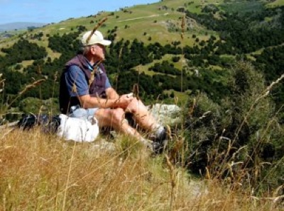
12 of us made the trip. A bit of a struggle for one or two but we all got there. Here George poses as an Indian shaman(?) in front of a cave.
click to enlarge

George
There were places where we had to clamber up to the paddocks before descending to the rocks again.

Bank climb Ian, Shaleen, George
This was a very narrow squeeze.

The narrowest squeeze. Wendy at back
The trip was well-timed, with low tide after 1.00 p.m. so there was room for plenty of rock work clambering …

Difficult descent. Pat, Ken, Joyce, Bill, Shaleen (in mid-flight), George, Doug
and beach sand. This is where we stopped for a pleasant cuppa.

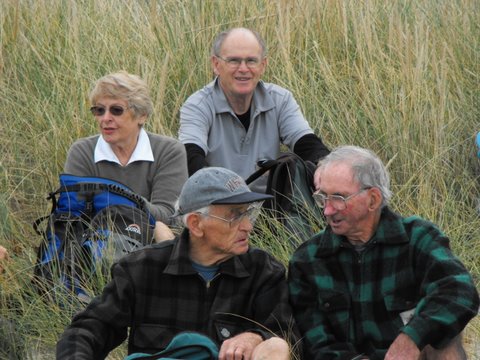
Tea break. Lex, Ria, Bill, Pat, Wendy, George, Bob.
Five lunched down at the Akatore mouth, the rest content to dine in the paddock above.

Pat, George, Bill, Doug
The five “down at the mouth” are just visible from the paddock.

Akatore mouth from paddock. Ken, Shaleen, Doug, George and Ian at rear.
Here is just one of the ponds as we made our return, this time largely over paddocks.

Paddock walk return. Doug, Ian, Bill
Careful rock clambering challenged some, and for others the distance was a bit of a stretch. But it was another successful day with the weather remaining kind. – Ian
6. 6/2/2008 Taieri Mouth Livingstonia Park to Akatore Beach walk. Trampers. Leaders: Ria, Hazel.

Lunch stop at Akatore Stream mouth. Leonie, Keith H, Tash, Lex
Tramp Report for Wednesday February 6th 2008
A beautiful day greeted 16 trampers as we met at Livingstonia Park for the start of our walk from Taieri Beach to Akatore. Our leaders were Ria Lippers and Hazel Leslie who had done 2 recces to make sure they had it all under control as it was the first time the Taieri tramping club had done this walk.

Tea Break. Doug M, George, Keith, Glenice, Joyce, Pat, Bill, Ria

Tea Break. Carol, Tash, Keith H, Lex
It turned out to be quite an adventure as we scrambled up and down rocks between the lovely bays that stretched all the way along this stunning Otago coastline. The tide was at a tantalising level as the more adventurous felt it was possible to get round, while our leaders took the more secure upper route along the cliff top. It was great to have the choice. We had lunch where the Akatore River reaches the sea, an enchanting spot with crystal clear water and white sand. George had a paddle in the water and we all relaxed in the sun. The tide was coming in, so most of the way back was along the top grassy pathway, but we did manage to go along some of the wider beach areas. As we descended the rope walkway back down to Taieri Beach we were so surprised to see so many people sunbathing and swimming, all taking advantage of the amazing Waitangi Day weather. Carol and I couldn’t resist a quick paddle before returning to the cars where everyone was waiting for us !! – Tash
5. 6/2/2008 Taieri Mouth to Akatore Beach walk. Hikers. Leaders: Ria, Hazel.
Beautiful day for a beach walk when 12 hikers parked their cars at Knarston Park. The tide was out so we were able to walk south along the beach for quite some way before having to go up a rope walk to the grass area above beach to get past an outcrop of rocks. Then back down onto beach and time to sit and relax with our morning tea. Such a lovely day and so clear, the views were great and sea bird life interesting. On down the beach until we came to another outcrop on rocks that for us, was impassable and we couldn’t find a place suitable for us to climb up to top. So we decided that although it was a bit early we would have our lunch and sit a bit longer than usual, just soaking up the scenery and views. Watched the tide gradually coming higher up a little inlet, examined some interesting seaweed and heard about some of the bird life from our expert, Lesley G. 12 happy hikers wandered back to cars along the beach mostly and all agreed we’d had a very relaxed and pleasant day.- Bev.
4. 26/2/1997 Akatore South Side. Leaders: Jack M, Hugh, Mary L.
3. 7/8/1996 Akatore Farm Walk. Average. Leaders: Jack M, Jean A, Ria H
2. 9/2/1994. Akatore. Medium. Leaders: Jack M, Eleanor, Judy & Rob
1. 30/1/1991 Akatore Forest Walks. Leaders: