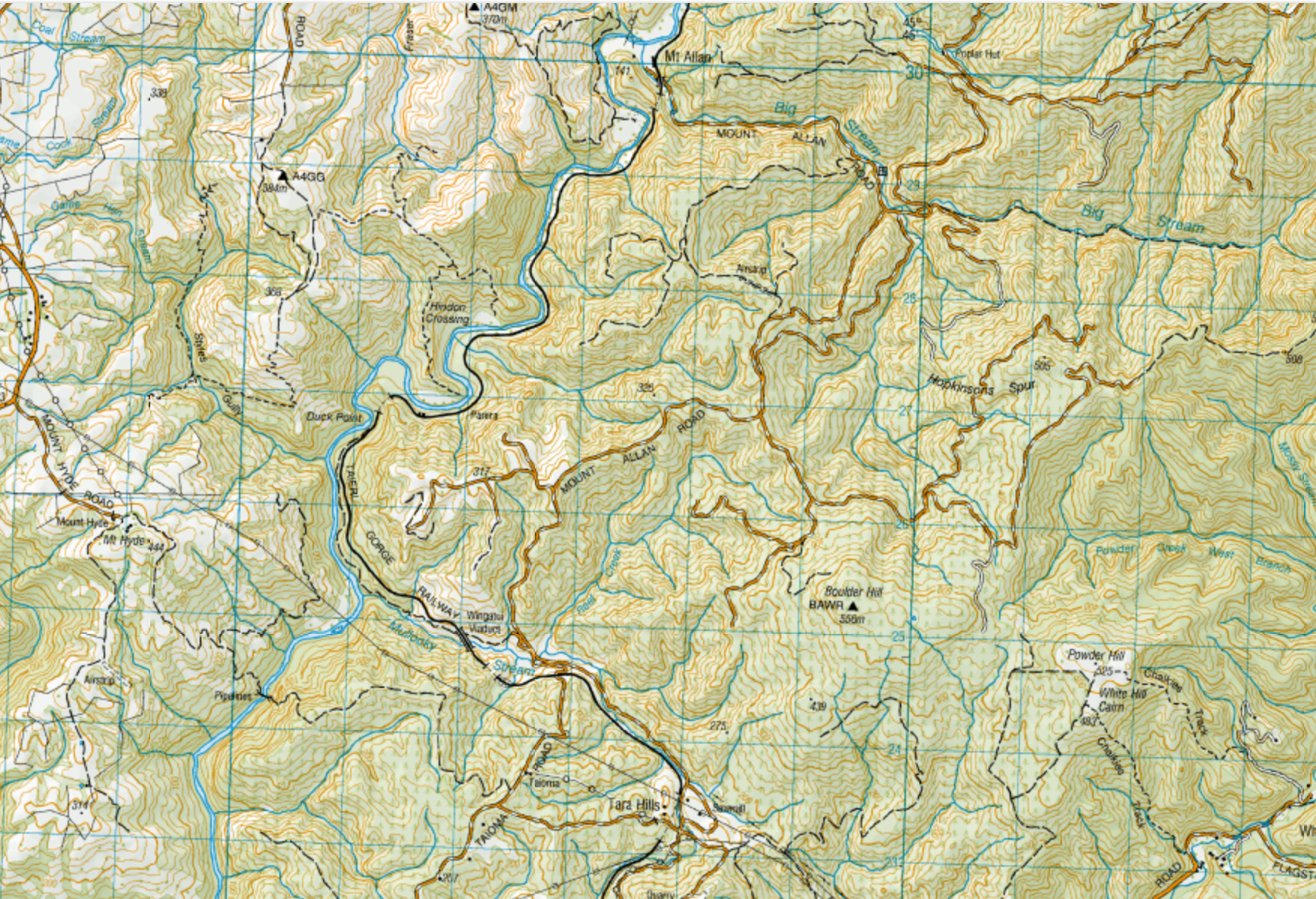
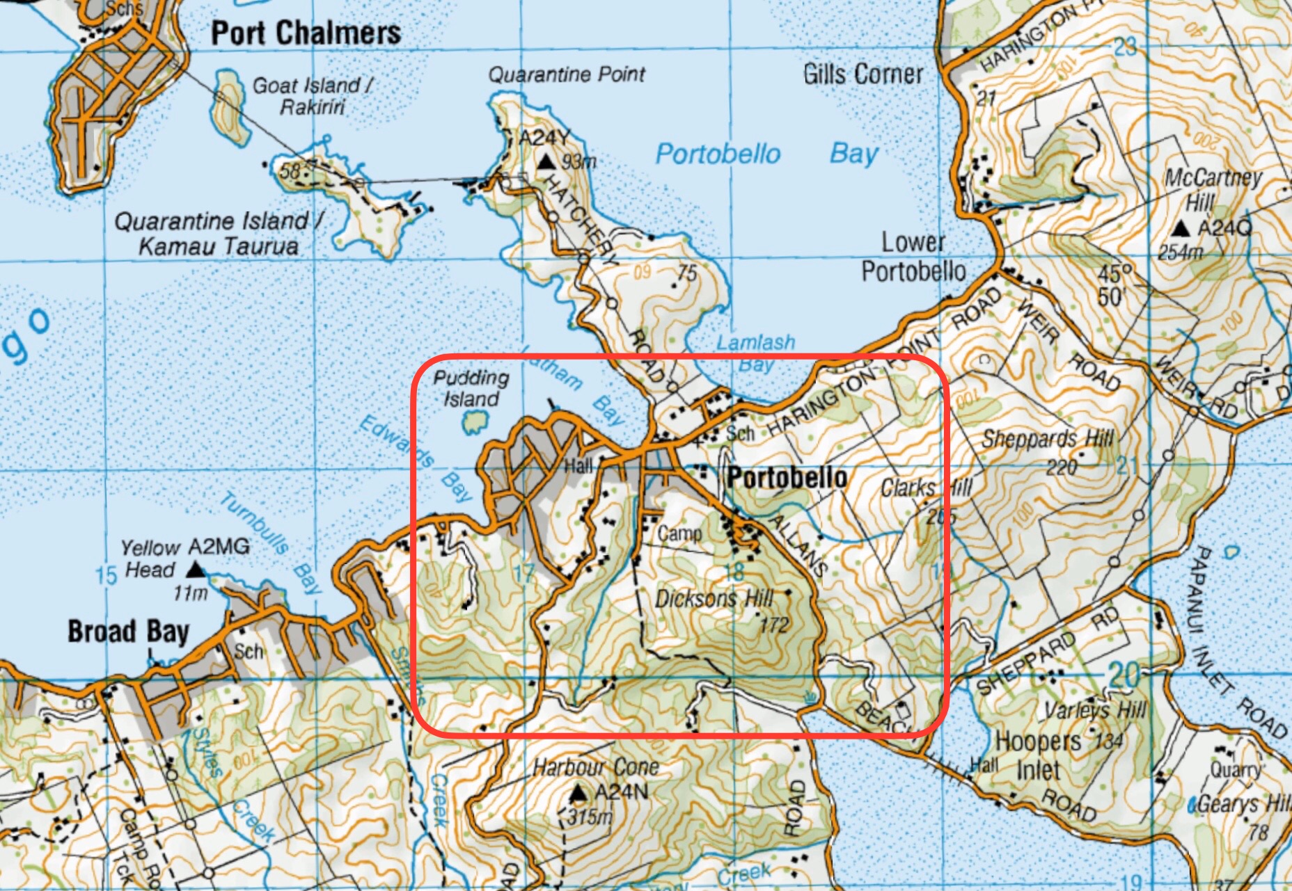
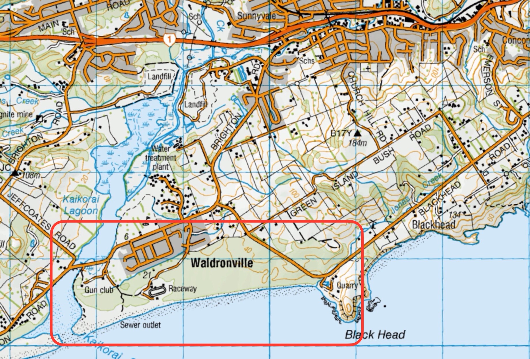
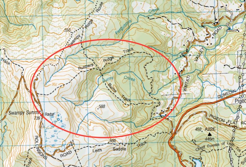
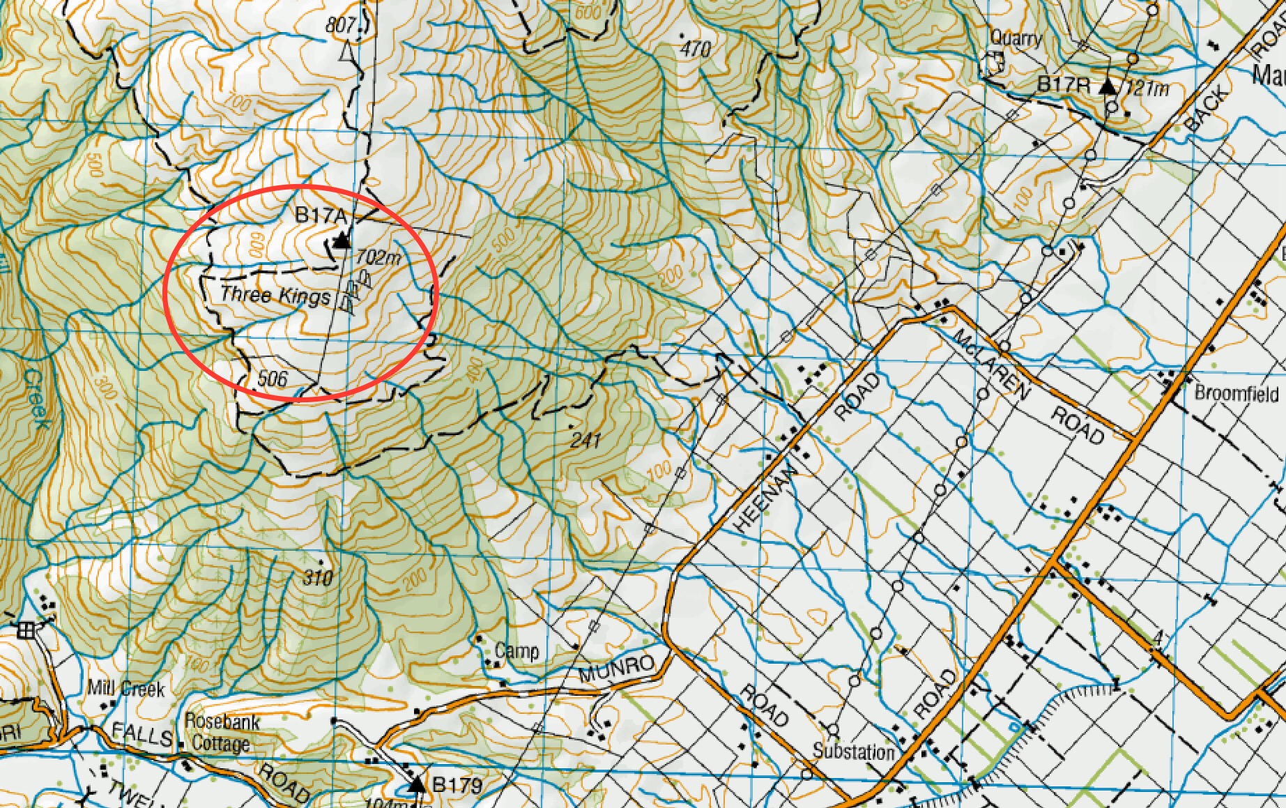
Click to enlarge map
Taieri Recreational Tramping Club
Mid-week recreational and social walking group based in Mosgiel NZ

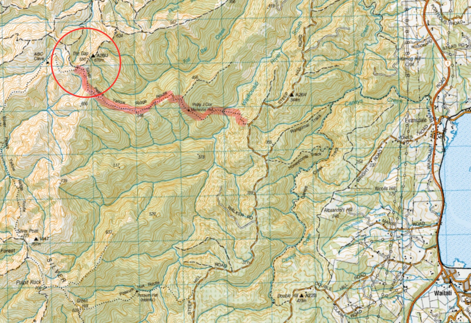
Click to enlarge map
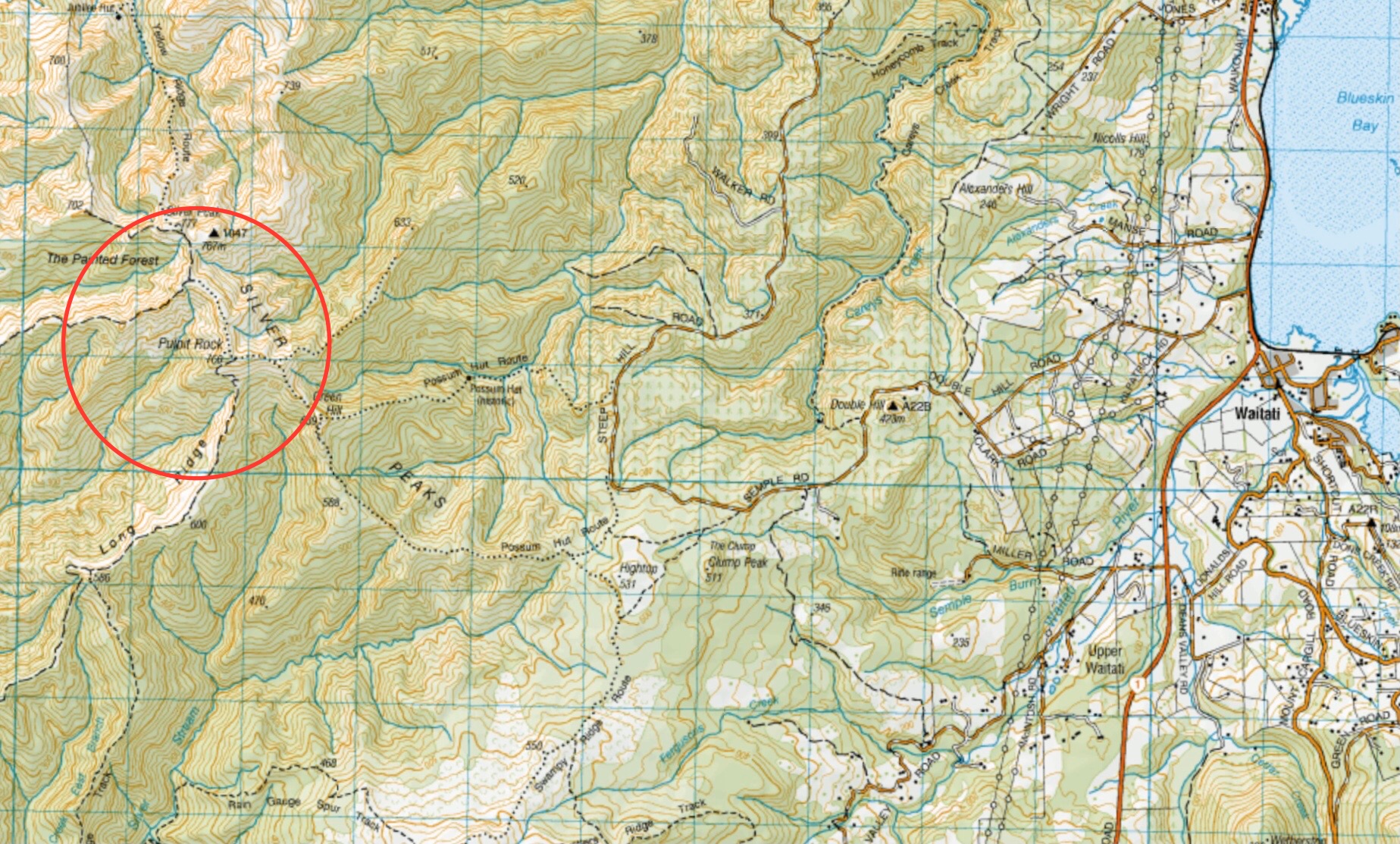
Click on map to enlarge

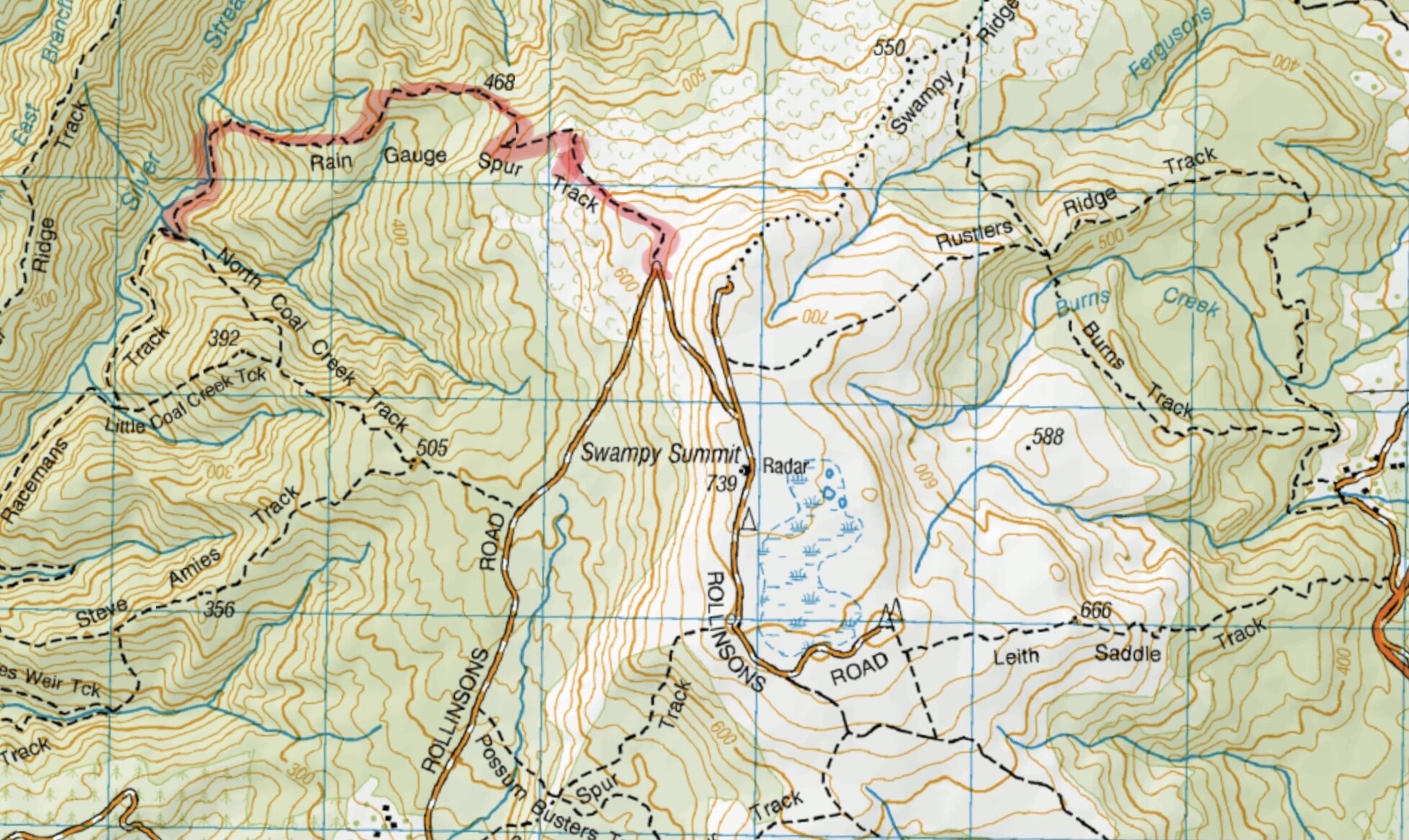
Click on map to enlarge
Click on map to enlarge

Click on map to enlarge

Click on map to enlarge
Click on map to enlarge
Click on map to enlarge
See also TRTC LINKS PAGE – Silverpeaks Tracks
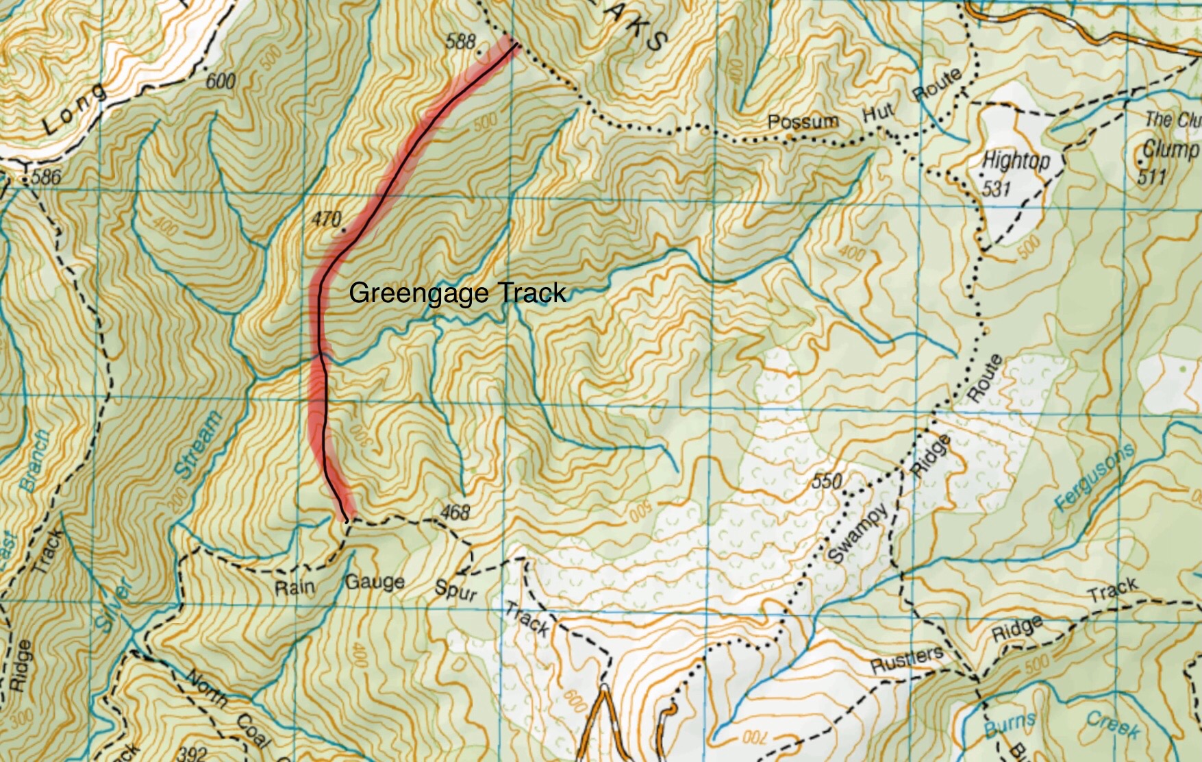
Greengage track is not shown on any NZ Topo maps. This image gives an approximation of the track route.
Click on map to enlarge
Click on map to enlarge
Click on Map to Enlarge
Click on Map to Enlarge