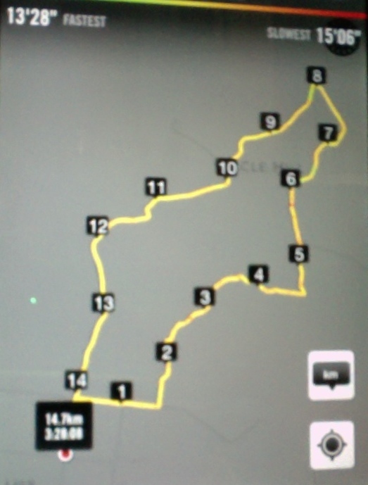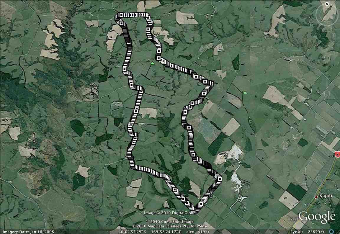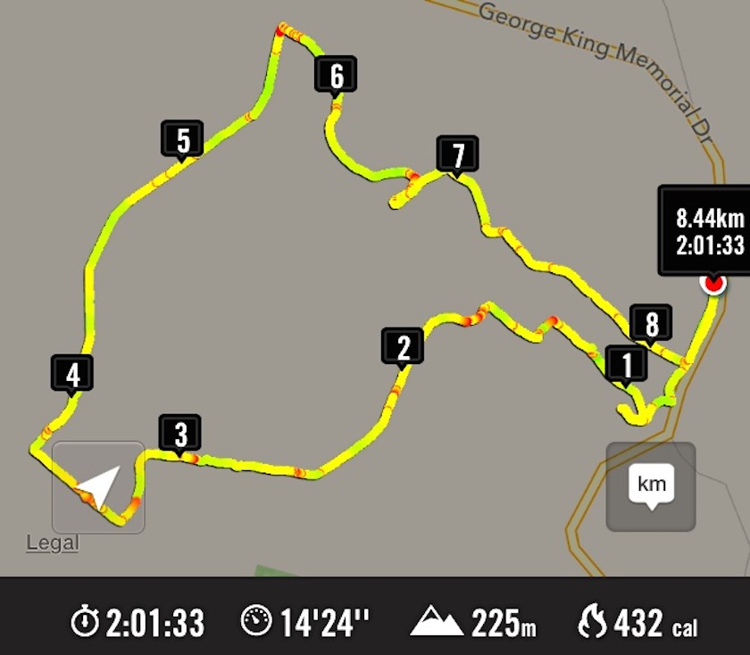
A goodly number of thirty Trampers and Hikers, as you can see from the GPS map, set off back alongside the road we had arrived in, the Leaders searching for one of several elusive ridges, each separated by bushed gullies and leading down to a main gully at their foot. However, due to their number (six in total!) and too tentatively choosing one ridge too soon but finding it too stunted to be the one, we ended up turning back (about 0.7 kms on GPS map) instead of going on, and descending the ridge futher back only to be forced to have to climb out of the gully beyond its foot (red spot about 1.4 kms on GPS map) and up onto the one originally planned on. By now it was time for morning tea. (Sorry about the lack of photos – we didn’t have John and his camera with us this time.)
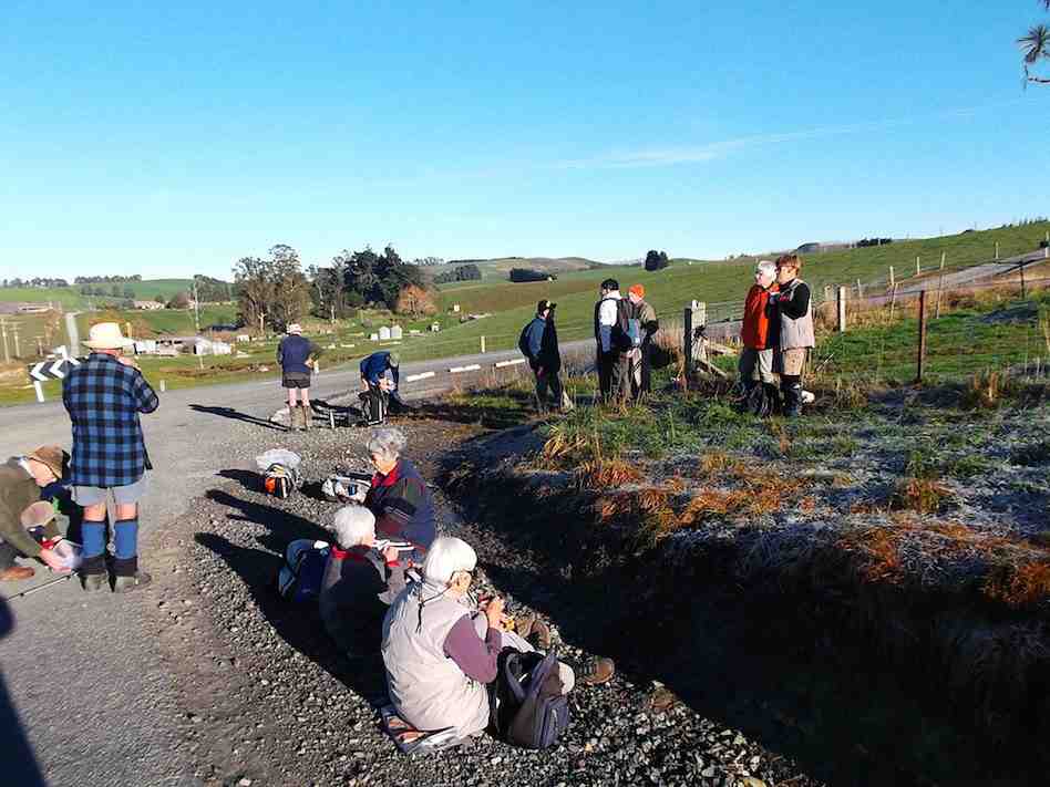
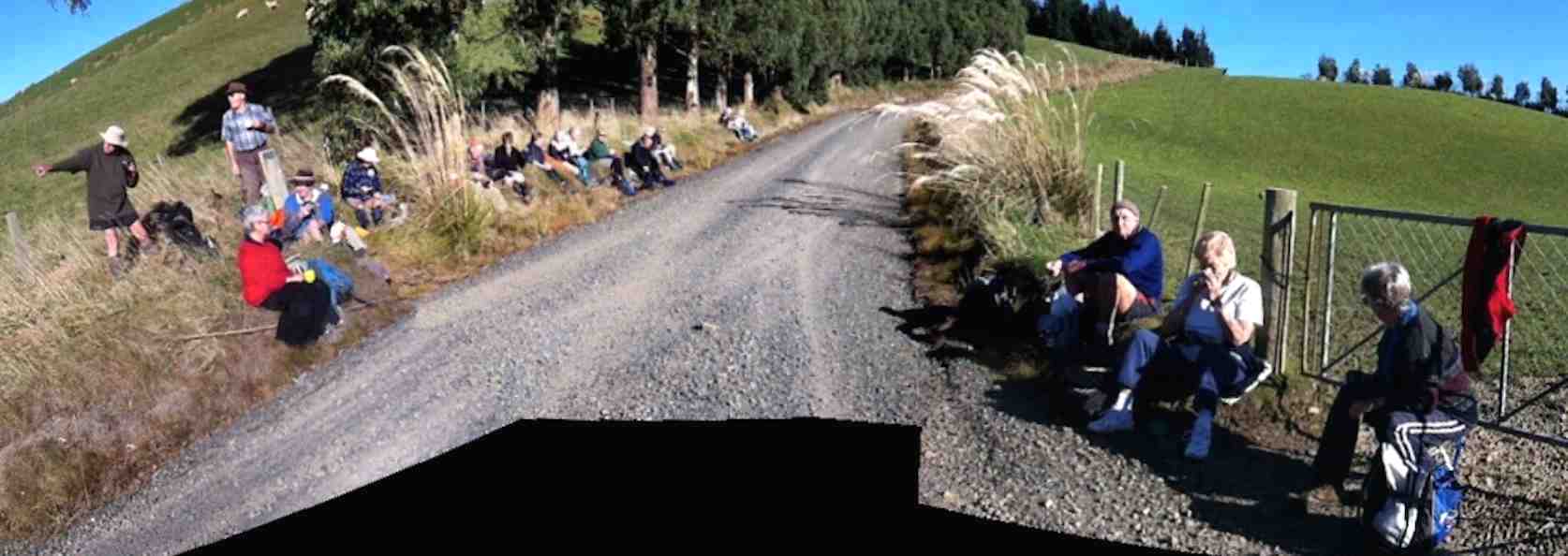
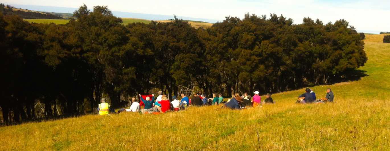
On down the right gully now this time and into the main one across its foot, left skirting its side and crossing at a bridge and struggling up the slope directly ahead. (Red spots about 1.6 kms on GPS map.) Then it was on, up to our left, climbing gradually for the most part, through a number of paddocks and gates, until by various turns we reached what appeared a paper road. (About 3.7 kms on GPS map.) This formed a long ascending route to the point where we turned into a paddock again. (About 5.8 kms on the GPS map.) En route, we met up with the Neeehoff farm’s neighbouring owner. He reassured us he had been consulted, but it now became apparent that we had spent more time on his farm than the other! Ah well, another permission to prudently seek next time. It was in the new paddock that the mushroom pickers got really busy. There had been some mushrooms in the first paddocks, but here their number appeared endless. This led to a prolonged hunt by the aficionados while most went on to stop for lunch not too distant from one particular loiterer who shall remain unnamed. (6.1 kms on the GPS map.) Some great mushroom fry-ups would be on the menu that evening!
Around the head of the gully facing the luncheon eaters, we descended to the big gully again, but here bridgeless, with its water-way just a step (or more in some places) too wide. Many just plunged through, but the tail on the GPS map indicates a walk upstream for the few patient enough to wait to be led to the only dry one-step crossing. (About 6.7 kms on the GPS map.) From there we had to walk back along to our left and the corner of a paddock ahead, and wait for leader Arthur to switch off the hot wire of what we now knew to be the Neehoff boundary fence. (About 6.9 kms on the GPS map.) Once through the fence, ahead lay the long steep slog up the longest and principle of all those six ridges leading back up again, – also the nearest to the homestead. (Kms 7 and 8 on the GPS map.) Now we were back up onto the original paddock and soon back to the cars.
Well, this was one of the now controversial “both” walks, set down for Trampers to join with Hikers the first Wednesdays of the months. It was moderately hard only in respect to the steep climbs out of the gullies. But not particularly long or challenging. There were happily more Trampers than there had been recently, generously tolerating the slower pace of the Hikers for the sake of “Recreational” togetherness and getting to know fellow-club members better. Perhaps the emerging arrangement of this along with a track-clearing option on the same day, is becoming a way through of providing a flexibility of choice for Trampers to exercise in accordance with their own preference. – Ian
20/2/2013. Trampers. Neehoff Farm, Hindon.