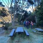
 18/06/2025. Millennium Track return from Henley. Grade 3.5. Trampers. Leaders: Sarah McCormack and Heather Kirk
A very frosty morning greeted all 18 of us trampers as we arrived at the Henley end of the Millennium track.
Taieri Recreational Tramping Club
Mid-week recreational and social walking group based in Mosgiel NZ
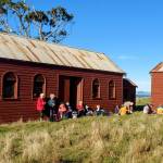 07/05/2025. Waikouaiti – Matakana. Grade 2.5. Combined. Leaders: Carol Thurlow, Jill Thomas and Clare Banks (with much help from Graham Thurlow)
35 hikers and trampers set off from the Waikouaiti Sports Ground walking down to the beach heading north, marvelling at how peaceful the sea was on a very still sunny day.
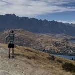 09/03/2025 to 14/03/2025 . Queenstown Camp. Queenstown Hill, Wilsons Bay, Bobs Cove. Trampers, and Hikers. Leaders: Anne and Rod Ward, Di and Chris Bezett.
Continue reading “Queenstown Camp 2025 Day 1: Queenstown Hill, Wilson’s Bay, Bobs Cove”
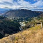 09/03/2025 to 14/03/2025 . Queenstown Camp. Moonlight Track from Arthurs Point. Combined. Leaders: Anne and Rod Ward.
Continue reading “Queenstown Camp 2O25 Day 2: Moonlight Track from Arthurs Point”
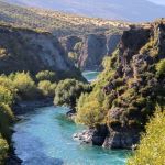 09/03/2025 to 14/03/2025 . Queenstown Camp. – Wye Creek, Kawarau Bike Trail, Gibbston Tavern. Trampers, and Hikers. Leaders: Anne and Rod Ward, Di and Chris Bezett.
Continue reading “Queenstown Camp 2025 Day 4: Wye Creek, Kawarau Bike Trail, Gibbston Tavern.”
15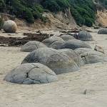 /01/2025. Moeraki Millennium Track Moeraki Township to Moeraki Boulders. Grade 2.5. Hikers. Leaders: Neville Griffiths and Dave Roberts.
A group of 13 hikers in 4 cars made the trip to Moeraki and met up at the car park adjacent to the public toilets in the Moeraki township.
Continue reading “Moeraki Millennium Track Moeraki Township to Moeraki Boulders”
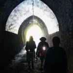 20/11/2024. Frasers Gully / Friends Hill / Wingatui Tunnel & Return. Grade 3.5. Trampers. Leaders: Anne Ward and Lyn Keene.
Our group of 19 met at Ellis Park before beginning our walk up Frasers Gully, beautiful native bush, singing birds and flowing stream.
Continue reading “Frasers Gully/Friends Hill/Wingatui Tunnel and return”