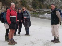
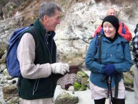
No. 97 on old hardcopy list of 113 club tramps. “Purekanui & Canoe Beach Year Round”
39 km
At LOW TIDE it is possible to walk along the shore to Doctor’s Point.
Also pleasant stroll 1 km down southeastern end to mouth of inlet with scattered cribs.
Doctors Point, Mopanui, McKessar, Purakanui, Osborne – Information and Trips Library
16. 14 July 2021. Hikers. Purakaunui/Canoe Beach. Medium. Leaders: Betty & Jim
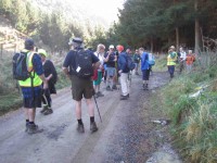
After regrouping at Waitati 4 Vehicles travelled with 16 hikers to park at the end of the Doctors Point Road. The tide afforded us plenty of clear beach for the Canoe Beach walk to Mapoutahi for our tea stop. Of significance were two new barriers recently erected by DOC, warning of the dangerous cliffs.
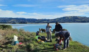
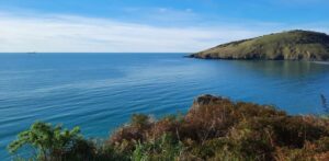
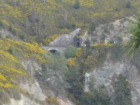
From our morning tea stop the southern portal to the rail tunnel could be seen, high on the cliff showing the extreme difficulty that this section that must have been experienced in the construction of this main trunk line.
Weather conditions were pleasant for the Purakaunui Beach walk on firm sand to the Purakaunui inlet.
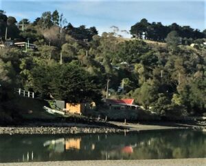
Entering the inlet, we were faced with soft sand conditions for a short distance to the pine plantation, then it was less than 400 meters through pines to the cemetery. We retraced our steps in comfortable time for the tide past Canoe Beach to the cars.
The coffee stop was at Blueskin before our return to Mosgiel.
15. 8/8/2018. Trampers. Purakaunui/Canoe Beach. Leaders: Jill and Judy D.
Another mild winter’s day spent in the Purakaunui area. We had to change plans as high tide was approx 12 md and we had planned to walk from Doctors Point to Canoe beach before climbing the Mckessar track back to the cars.
Never mind, we parked at the Purakaunui domain
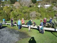
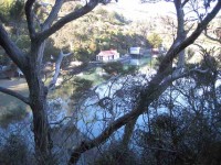
and walked along the inlet track, passing the cutest little 140 year old holiday home on the seaward side of the track. Not sure what will happen with the effects of global warming??
Onwards towards the open sea along another track where the amenities board have put in a couple of seats to enjoy the view out to sea
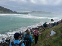
and up the north coast.
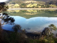
Back along the short track and up the road above the holiday homes scattered amongst the bush. There was continual birdsong along our way which was so pleasant. The inlet was very calm reflecting the quaint colorful boat sheds.
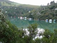
We shifted along to Osborne where we walked out to the beach and up to the old maori pa Mapoutahi where we had a leisurely lunch with uninterrupted views.
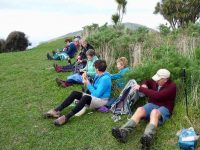
Out to canoe beach and back to Puraukanui beach to the cars.
We were very fortunate to see several Kingfishers, some diving, some Rosellas and even an Eagle sitting on some scrub out in the inlet.
It was decided to have coffee at Orokonui Sanctuary again with pleasant views. 12 trampers and about 8 kms travelled! A relaxing day had by all. – Jill.
14. 24/2/2016. Hikers. Beach, Caves, Spit, Urupu. E. Leaders: Jim and Betty.
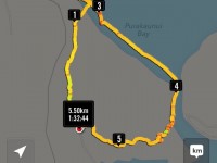
A turnout of 24 walkers enjoyed extremely good weather. Leaders were Betty & Jim Finnie.
On the day the planned section of the walk from Mapoutahi Pa site …
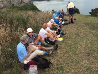
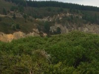
… to Doctors Point had to be curtailed due to the sea’s erosion of sand at the boulder pile. It appears that this had occurred in the last approximately 10 days.
After a short delay, seven of the more adventurous walkers made the difficult crossing of the boulder pile to inspect the caves while the balance of the walkers started into the remainder of the planned walk.
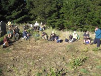
There was a regrouping for lunch part way along the Purakanui beach.
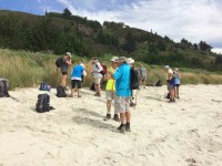
The walk continued along the beach after an extended lunch …
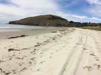
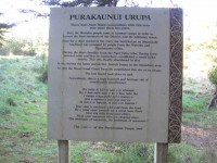
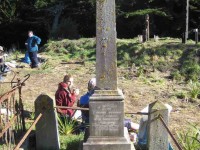
… and followed the inlet into the pine trees to the fenced Maori cemetery.
From the cemetery it was along the vehicle track back to the car park. – Jim and Betty.
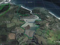
Today was a joint tramp with the hikers, so we all drove to Purakanui & parked down by the old garage at the far end. Here, Judy, the leader on the day, suggested that as it was already late, the trampers carry on with what they had planned, & not worry about walking with the hikers. So we took off along the waterside track, & stopped at the picnic spot for a very late morning tea break.
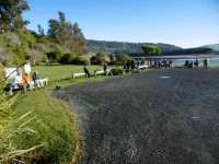
Then it was on around the rest of the bay, & into the pine forest on the other side, to try & find the Maori graves in there. Now I have walked past, & driven past this point many times without realising there were any grave sites in amongst these trees, until about a year ago, when they were mentioned to me. I think most, or all of the other 7 trampers with me didn’t know about them either. So it was good to find the site & have a look at the few headstones there.
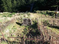
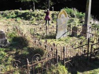
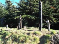
We then went onto the old PA site, had a quick look around, before settling down for lunch. Then it was a quick dash along the beach to the caves on the way to Doctors Point, & back again, before the tide forced a return route over the large rocks halfway along the beach.
All that remained was the long road walk, & the bayside track, back to the cars. – Ken.
12. 27/5/2009 Hikers. Purakaunui, Canoe Beach. Medium-. Leaders: Lex, Fred, Elaine

