
 12/02/2025. Powder Ridge to Long Ridge (return). Grade 5. Leaders: Pam Cocks, Esther Willis.
Fabulous day – and the writer is officially pooped.
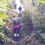
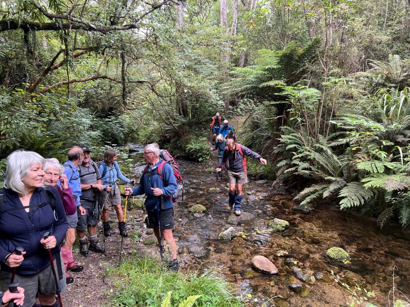
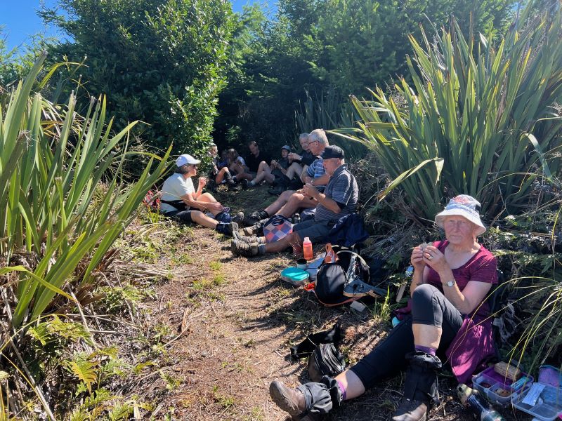
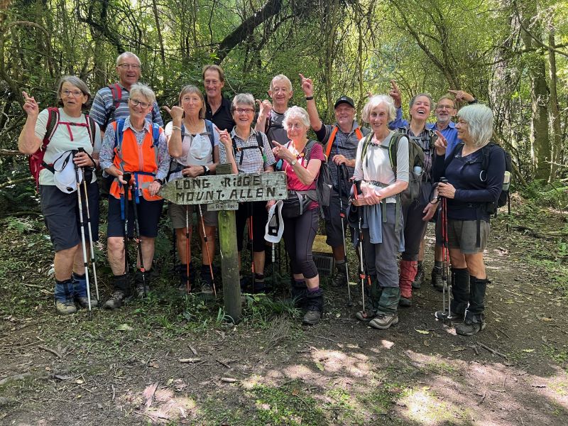
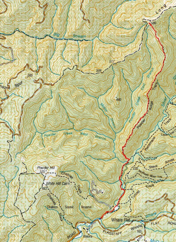
Fourteen of us took up the challenge, leaving from the Pumphouse Car Park, destination the junction of Powder Ridge and Long Ridge Tracks.
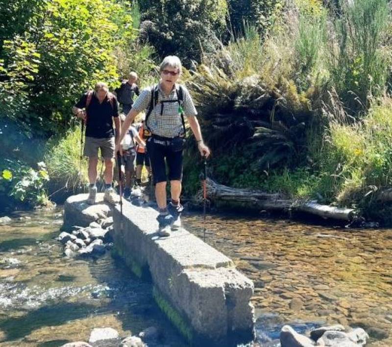
The first forty minutes or so was a gentle meander, largely following Silverstream .
We stopped where the track branched, to remove any extra layers of clothing before starting the climb of Powder Ridge proper.
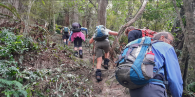
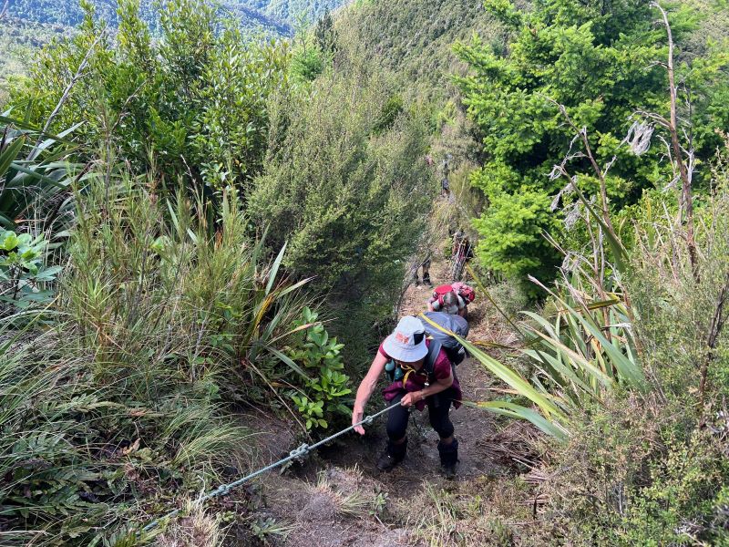
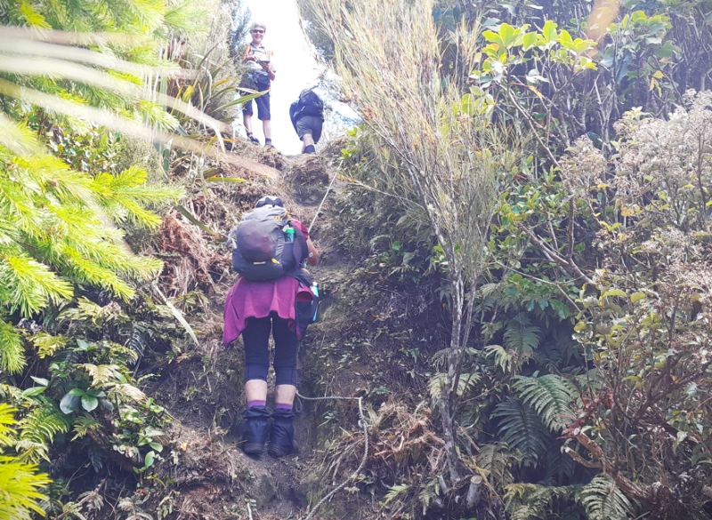
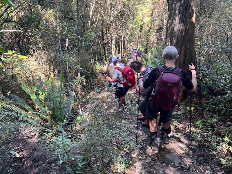
Contours on maps don’t lie- the track is steep and a real grunt initially. We made a good dent in it, before stopping for a well earned cuppa.
After the initial effort the track was kinder on the cardiovascular system. Certainly there were more steep bits, but then the going would even out again.
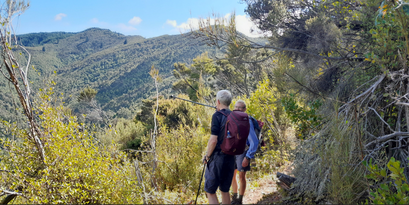
Just before the seven km mark a strategically placed rope was used. From there just a hundred meters or so to the track junction.
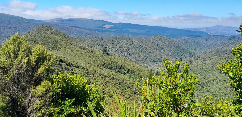
The weather was kind so we enjoyed lovely views.

As is often the case, we all, to a person agreed that the bigger challenge was the descent.
Hurrah for poles and no recent rain, even so our knees were talking to us as we neared the end of the descent.
Distance 14 kms
Elevation gained about 780m
Moving time five and a half hours
Thanks Graeme for leading the pack on the decent.
Pam and Esther
Link to background information and earlier tramps and hikes in the same area.