Information
Rock and Pillar via Six Mile Creek This climbs 1,005 m. (3300 feet) up the eastern face from Glencreag Station up a leading ridge south of Six Mile Creek. This is the most direct approach.
Rock and Pillar via spur south of Lug Creek. Information: Climbs 910 m. (3000 feet) up the eastern face of a well-graded vehicle track up a leading spur south of Lug Creek. Average time to Leaning Lodge is 3 hours on foot.
DoC access. 9.5km north of the Middlemarch store on SH87, just before Lug Creek, is a farm entrance (RAPID 7219 – no DoC sign). A short way up the driveway is a DoC car park. There is public access up the vehicle track to the conservation area boundary. The track is now a recreation reserve administered by DoC.
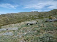
Easiest route to Big Hut from Leaning Lodge (foot only – unmarked – good visibility essential) is another 45+ minutes climbing gently southwards to cross a steep gully and then climb a gentle shelf to above the eastern basins. Sidle several hundred metres past the lower prominent rock tors before gently descending to Big Hut once it becomes visible. Route very wind and cloud-prone. Ice axe and crampons may be necessary to traverse steep snow slopes near Leaning Lodge.
64 km to Middlemarch. 66 km to Stonehurst Track.
Redan Crater- contact for access Ken Rennick.
Middlemarch Area – Information and Trips Library
 16. 06/12/2023. Hikers. Sutton Salt Lake – Glencreag Track. Grade 2.5. $16. 60km. Leaders: Wendy Langley/Katrina McKenzie
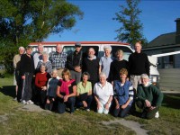
17 of us headed to Sutton where we walked the Sutton Lake loop.
Sutton Salt Lake is New Zealand’s only inland salt lake. It has concentrated salts from the soils due to it having no outlet.
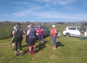
We were fortunate to strike a lovely sunny day with minimum wind.
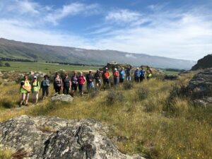
The schist rocks and the tussock surrounding the lake were stunning and the reflection of the Rock and Pillar Range in the lake was spectacular.
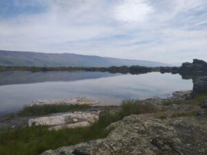
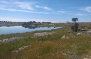
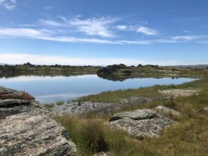
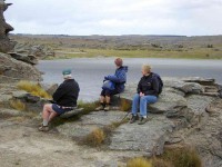
We enjoyed soaking in the landscape as we ate our morning tea. We were scanning the rocks hoping to see the Otago skink basking in the sun but the tramping feet and chatting kept them hiding under rocks. A wee baby skink was spotted briefly by a few of us scuttling quickly into the tussocks.
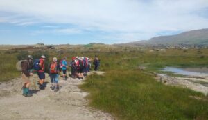
After continuing the loop walk we travelled to the Glencreag Track which is situated on the eastern side of the Rock and Pillar Range. Glencreag was initially a 21 year Otago High School’s Board lease issued in 1940 to the McKinnon family. In 1948 Education leases were declared to be Crown land and in 1953 the lease was sold to Ian McKechnie of Omarama. Since then it has had different farmers leasing it. Thank you to the Hope family, who currently farm it for allowing us on their land.
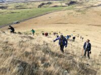
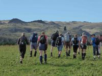
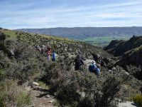
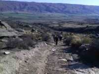
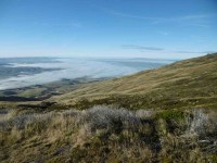
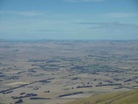
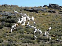
The walk was a steady climb. The sheep and lambs provided some extra company. We had a self appointed farmer and huntaway from the group who promised to keep the stock under control! Fortunately their services were not required. The view over Strath Taieri was worth the walk up.
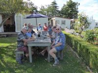
We descended down to Six Mile Creek to enjoy our lunch in a very tranquil setting. Bullock tracks used to run into the Six Mile Creek gully. They were probably constructed for dragging broadleaf logs out of the gully for fencing.
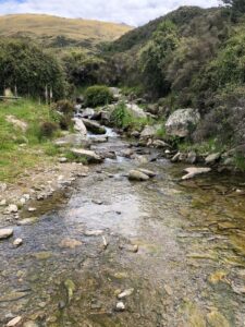
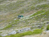
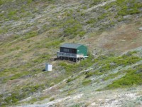
After lunch we returned via an impressive old stone cottage. From what I can find out it appears to have been the Garthmyl shearers’ quarters for a woolshed which has since vanished. The hut probably dates back to the 1870s and is of historic importance. The building was used from 1932 for ski accommodation, with skiers overnighting after arriving on the Friday night train from Dunedin, prior to climbing the range for a weekend’s skiing. A stone hut was built on the crest of the range in 1938 for ski accommodation. This hut is now a ruin. Unfortunately the stone cottage has recently been vandalised so we were unable to go inside. The owners are planning to restore this cottage.We enjoyed the panoramic view of the Strath Taieri landscape as we walked back to our cars. The black clouds were starting to roll over the Rock and Pillars just as we arrived at our cars, possibly perfect timing.
15. 8 February 2023. Trampers. Stonehurst Track. Grade 4. Leaders: Jill Reid, Theresa White.
Nine trampers travelled 66 km to Gladbrook Road, Strath Taieri and eagerly headed along the Stonehurst Track up onto the southern end of the Rock and Pillar Range. This range of hills is characterised by a very flat top – with steep escarpments on either side.
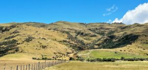
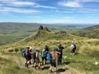
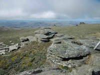
Our climb was not too arduous as the farm track zig zagged and we had great views and many schist rock outcrops to enjoy.
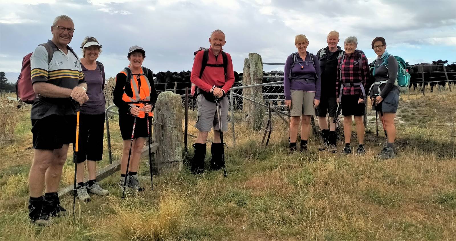
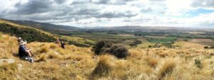
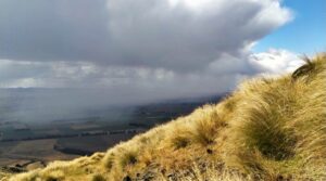
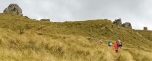
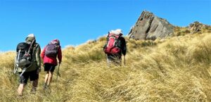
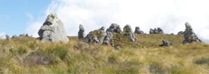
After almost 6 kms and 2 1/2 hours we reached the Conservation Area boundary on the plateau at an altitude of 1100 m.
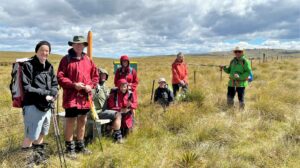
We lunched amongst tussock, native grasses, cushion plants and hebes before retracing our steps back to the cars.
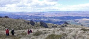
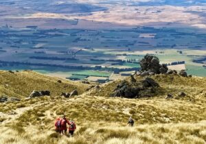
A very enjoyable tramp on a (mostly) blue sky day!
Jill Reid.
The stats: Distance 11.5 km, 840 m elevation gain, 3.75 – 4 hrs moving time. (from Strava via Ross).
14. 8 December 2021. Trampers. Rock and Pillar. M-H. Leaders: Esther Willis and Karen McInnes
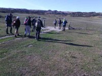
Nine pioneering souls left the car park on the dot of eight thirty in perfect weather for an energetic climb. The cars were parked in the small car park about 24 kms beyond Middlemarch – you may have seen the sign, “Foot Access the the Rock and Pillars”.
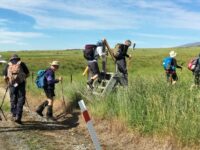
The first km was flat, walking along a short stretch of the rail trail, before heading into the first paddock and starting an almost unrelenting climb. (One of the leaders was heard to remark that this tramp reminded her of childbirth i.e. she had forgotten the steepness of the recce, but the memory was quickly rekindled.)
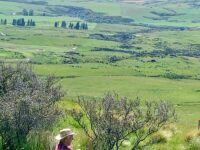
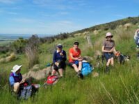
Catchup- (Expand photo to see Redan Crater – centre, and The Sisters) (photo and caption Pam)
The views, however were magnificent and at our morning tea stop Arthur pointed out the Redan Crater which stood out beautifully in the hills opposite.
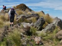
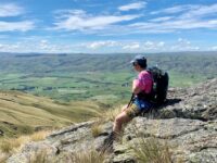
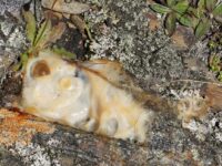
We picked out a rock sitting on the skyline as our lunch spot, only to discover the track continued tantalisingly further upward- like the staircase to heaven. We decided to give heaven a miss. The rock formations up there are truely remarkable, and we all agreed, once fed and watered, worth the climb.
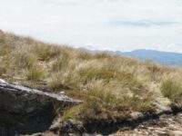
As always the downhill section was quicker, but reminded most of us our knees were older than they once were, and our walking poles came in handy.
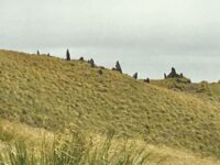
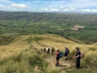
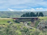
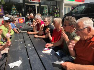
We finished our expedition with well earned ice creams at Middlemarch.
Here’s a few botanical notes:
The Spaniard, or speargrass we are familiar with, comprises of 38 species, all but two of which are confined to New Zealand, the tallest of which is aptly named “Aciphylla horrida”. It surely is that if accidentally grasped.
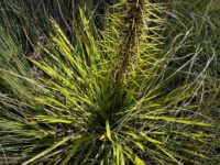
Matagouri is equally unforgiving to push past – apparently the Māori used the spines for tattooing needles. Interestingly it is similar to the legumes in that it is a nitrogen fixer. It’s in flower at present and Marijke taught us the bees use it for honey.
The yellow flowering plant, “Bulbinella”, is commonly known as Māori Onion. There are 20 species, six of which are native to New Zealand.
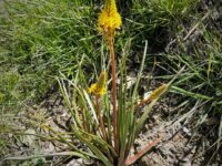
Esther and Karen
13. Wednesday 4 August 2021 Sutton Salt Lake and Smooth cone – Combined bus- E – Cost $16-00. Leaders Theresa White, Diane Paterson, Judy Dennison, Sue Nichol
A lovely crisp, sunny midwinter’s day provided a wonderful backdrop for 49 trampers and hikers to enjoy a day in the Strath Taieri area. We left Mosgiel by bus at 9am picking up four more of our group at Outram and then Heather at her gate at Shannon. We turned off State Highway 87 at Sutton and travelled a short way along Kidd’s Road to the entrance to the Sutton Salt Lake DOC track.
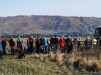
The timing was perfect for morning tea and after that at 10.15am we started our 3.5km loop walk. The first part of the track was through stunning schist tors. We enjoyed views of the vast open landscape and the snow-capped Rock and Pillar range beyond. It was not long before we reached the Sutton Lake. (The lake is New Zealand’s only inland salt lake.
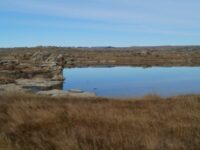
It is filled by rainwater, has no outlet and dries up during periods of warm weather and no rain. Salt comes from the surrounding soils and becomes concentrated with the repeated filling, evaporation and refilling. The salt water in the lake is about half as salty as seawater.) On our visit to the lake it had a good amount of water and the day was still. This meant the lake looked like a mirror and provided us with dramatic reflections on the still water. The better photographers amongst us were able to capture some amazing images.
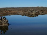
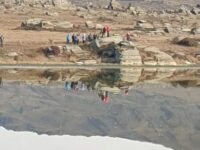
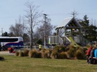
By 11.30am were back at the bus, boots were taken off and our next stop was the playground in Middlemarch for lunch. This was a pleasant lunch stop with plenty of chatter.
Back on the bus at 12.30pm and our post lunch destination was Smooth Cone, 7kms to the east of Middlemarch. This volcanic outcrop is a distinctive feature in the landscape. A pine tree was planted by the Strath Taieri community on 8 November 1918 to commemorate Armistice Day (this was planted 4 days before the Armistice was actually signed).
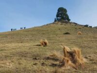
To reach Smooth Cone, which is on private property, we had a short road walk and then through a farm gate the extraordinary cone was in front of us. It was a leisurely climb.
Once reaching the top we were rewarded with expansive views of the Strath Taieri plain and the Taieri Ridge.

We also marvelled at the ability of the pine tree to grow so straight and strong when subjected to gale force winds from any direction.
Once all back in the bus we headed to Middlemarch for refreshments at Maggies (for ice-cream) and Kissing Gate for coffee. After a pleasant hour in Middlemarch it was time for the return trip to Mosgiel arriving back around 4pm.
Thanks to Theresa White for putting together a varied and interesting trip for us and for getting permission from the farm owner for us to visit Smooth Cone. A most enjoyable day.
Diane, Sue and Judy.
12. 24/3/2021. Trampers. Rock and Pillar – Leaning Lodge. Leaders. Peter Gillespie and Keith Munro.
When I left home this morning for our much anticipated tramp to the Rock and Pillar – Leaning Lodge, little did I know that our illustrious leader (Peter G) would “delegate” the important matter of the report to me. As this is my first report for the club – I hope I do this justice.
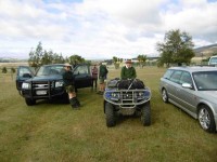
This tramp aimed to be a little different from previous ones in so much as there was a 4WD aspect involved. Trampers were allocated to a 4WD vehicle which in itself seems organised however it seems some in the group read the list wrongly as there were no headings to indicate who the actual driver was. Our leader stepped up to the plate and soon had this sorted.
It was therefore a grey misty damp day that 28 intrepid adventurers left the car park at Mosgiel and headed towards Middlemarch and the Rock and Pillars. After picking up Gordon and Heather we sallied forth to Middlemarch for a comfort stop. Unfortunately the message was missed so a bit of confusion ensued whilst the errant driver was reigned in and all were accounted for before we headed to Kinvara Station and the DOC car park.
It was here that some transferred to their allocated 4WD drive vehicle and we headed up the track to Park Boundary where our tramp started proper. The track was a little damp and the weather didn’t improve any – it was still a grey damp misty day. Deer were keeping a watchful eye on our progress but they soon got bored and disappeared into the gloom.
It was about half way up that we realised that a couple of vehicles were missing from our little convoy. John had volunteered to drive Marike’s vehicle up the track and was having problems getting into 4WD. It transpired he had not activated the 4WD button clearly marked on the dashboard hence no traction in the damp environs.
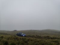
It wasn’t long before we arrived at our starting point, a little bruised after bouncing up the track – Pams kidneys apparently got a good work out. I think all agreed, well they did in our vehicle that the 4WD was a great idea as the walk up to the Park Boundary would have added considerable time to the overall tramp.
Prior to heading off up the track with the intended destination being Leaning Lodge, the group split into two and before tackling the relatively steep track. Of course we were soon spread out and trudging purposely to our destination.
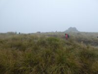
We were however soon made aware that one of our team was struggling a bit with the climb so Mr G subsequently headed back down to retrieve his truck to assist our team mate. The group gathered at a fork in the track to wait for Mr G to arrive with his passengers before heading to Leaning Lodge for lunch.
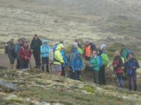
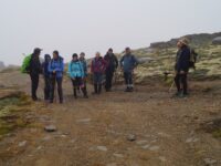
Upon arrival it appeared our leader had had an “accident”. A damp patch in the most inappropriate place was evident on his pink shorts. Of course many questions were asked – none satisfactorily answered especially why his belt remained undone. I shall leave the matter there.
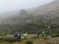
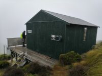
Lunch was at the Leaning Lodge – a truly impressive hut.
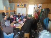
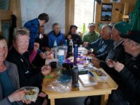
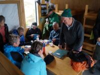
Unfortunately the view which I’m told is spectacular was not seen due the persistent low cloud that continued to plague us all day. Soon it was time to head back down to our vehicles.
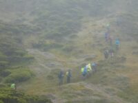
It was about halfway down that Phil’s vehicle got a puncture. What a bugger.
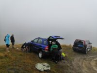
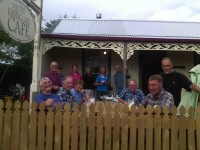
Still the team sprang into action just like a Formula1 pit team and got the problem sorted in a jiffy where upon we headed to Middlemarch for coffee and cake etc at the Kissing Gate cafe.
Not sure what time we got back to Mosgiel but despite the damp weather this was a very enjoyable day with lots of hilarity and of course great companionship.
Graeme Souter
11. 5/2/2020 Redan Crater. Leaders Theresa, Jenni, Alex and Clive.
Relief for all as the torrential rain ceased early morning of 5 February 2020 enabling forty five happy members to board the bus bound for Redan Crater in picture perfect conditions. After two days of rain no one was quite sure what to expect. The sunshine followed us throughout the day. Despite the massive amount of rain, the locals would have welcomed the drenching of their tinder dry paddocks.
We were buoyed by the sight of fresh snow on the rock and pillar range (which is opposite Redan crater).
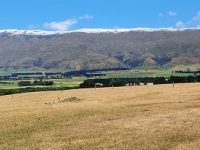
As soon as the bus arrived in Hartfield Road we all sat down to morning tea.
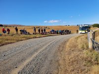
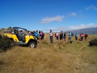
Trying to spot the crater from here was impossible. However we had a couple of wise heads who had visited here before and it wasn’t long before we all set off in an Easterly direction. The fitness of the trampers soon told and they were up and away into the distance.
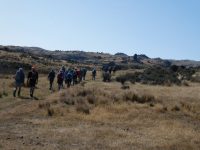
One of those ‘wise heads’ Art, stayed back with the hikers and guided them on their way to the crater.
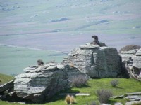
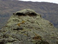
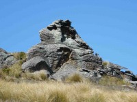
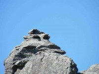
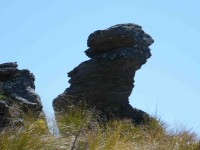
The schist tors along the way were seen to contain faces, animals and monsters. The imagination is a fine thing.
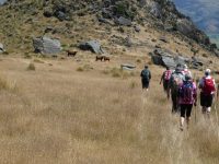
Soon the uphill climb began to tell on some of the hikers and they dropped by the wayside whilst still short of the crater. The fitter and more adventurous hikers with Art leading with Alex were soon heading off downhill?? before turning sharp right to scale the heights towards the crater.
The well defined farm track led the trampers to the top of the hill where they admired views to the East of the Waikouaiti hills and the Nenthorn and Moonlight valleys. South, could be seen the tip of Saddle Hill. It was deemed a perfect location for the trampers lunch stop.
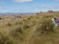
The sun shone and no one was in too much of a hurry to leave with stunning views and the usual fun banter flowing.
A bit later the hikers reached the crater and took the lunch respite before setting off on the direct route back to the bus.
After lunch, the trampers climbed further to the top of the crater, and skirted around the rim.
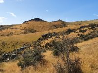
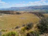
They negotiated the terrain, some scrambling down, into the bowels of the crater.
For more factual information on Redan Crater than we can provide, check this out:http://www.middlemarch.co.nz/nature/geology.html
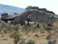
The trampers managed a new route down from the crater which is easier to negotiate than on previous trips. Essentially after crossing the crater they headed down the ridge in a North-West direction which led to a gate and fence at the bottom. They continued along the fence line from where they crossed the creek and headed up to the same track they had come up on in the morning.
(Hope this all makes sense and is useful for future visits to the crater.)
The weather was very pleasant and our happy trampers returned to the bus after walking around 15kms.
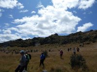
Peter our bus driver dropped around 30 at the Middlemarch Store for ice-creams and sweet treats, and the remainder carried on to the Kissing Gate Cafe to enjoy refreshments in their charming garden.
We arrived back in Mosgiel around 5.20 pm, so it was good long day out, enjoyed by all.
Theresa, Jenni, Alex and Clive.
10. 25/5/2018. Sutton Hut. Biking/Walking. Leader: Eleanor.
Tuesday 15 May. Leader Arthur
6 keen trampers arrived at Sutton Lodge to a rather chilly welcome, even though Warden Melinda had heaters and hot water turned on. After unpacking we enjoyed smoko, reading the O.D.T. and lunch.
Early afternoon we set off walking the long straight Kidds Road for approx. 3 km to reach the Sutton Salt Lake loop track. (The only Inland salt lake in N.Z). Was glorious walking round in brilliant sunshine looking at spectacular Tors, Lake Reflections, views of the Rock and Pillar Range and surrounding Countryside. Ducks lifted off the lake, however, 3 swans were happy to stay put.
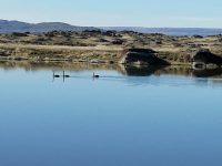
The loop took about an hour, then back to the Lodge we went. Soon after the 7th member arrived after playing a round of golf.
Was most enjoyable sitting round the open fire chatting in the lounge, soon to be followed by a delicious dinner and desert.
Wednesday 16 May. Leader Arthur
A clear morning dawned. Today is the big hike! Due to recovering from injury, 1 member stayed behind. 2 other members drove up and joined her for coffee and a look and walk around the Salt Lake. 6 members left the Wandle Road car park at 8.55am, which sits at approx. 330 metres. We headed up, up and up some more on a 4 wheel drive track on our way to Leaning Lodge Hut, which sits at approx. 1220 metres, about 9 km away.
The original hut was part of a failed attempt to build a ski field on the Rock&Pillar Range by Otago Ski Club in the 1950’s. It was bought in the 1970s by Otago Tramping and Mountaineering Club, for many years it was used for Snow Craft Training. The hut got its name from the rather alarming angles the floors were on! The leaning Lodge Trust was formed in 2006 with intention of either bringing hut up to standard, or replacing, which they have. The new hut was completed in 2013, sleeps 8, doesn’t have a fire or water tank. Sadly, as of April 2017 the hut closed after discussions with D.C.C. and D.O.C.
Smoko was a welcome break with great views over Strath Taieri. Then it was onwards and upwards along the many zig zags till we had a breather at the giant rock beside the track, knowing it wasn’t too far till the track forks to the left into the hut (no signpost). 2 of the group were happy to lunch at the hut(locked), then walk down, down, down to the cars. They took car keys so they could leave car at the end of our track. It was lovely walking amongst the many schist tors, rocky pillars, sub alpine shrub lands and snow tussock. 1 of the remaining 4 walked the 1/4 hour in to have a look at Leaning Lodge Hut. Meanwhile, we were looking up to the big square rock (visible from highway 87) that was to be our lunch stop. We arrived at 12:15pm, put on hats and gloves enjoyed lunch–very chilly breeze at this height! before another bit of a climb to the SUMMIT ROCK at 1450 meters,
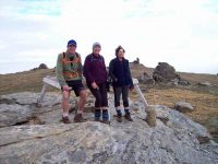
which gave us an outstanding vista of surrounding Mountain Ranges. Also, a great place for photo shots!
We had finished climbing, so now it was downhill for us to the Big Hut, which was reached in about 15 mins. By now fog was swirling around us.
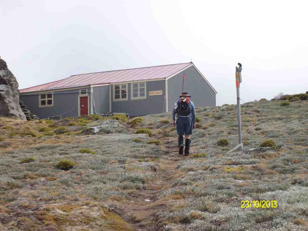
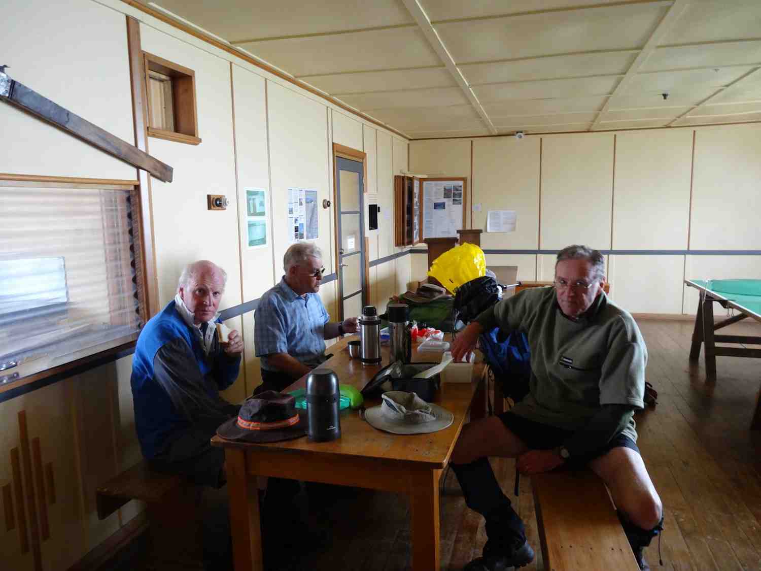
BIg Hut Ski Lodge (locked) A spacious 70 bunk Lodge was opened in 1946 by the Otago Ski Club. A crawler tractor and trailer hauled 30 tons of building material 3200 feet up the steep eastern face of the range. For many years this Big Hut, as it was known provided the venue for large weekend parties of ski enthusiasts until easier access slopes on Coronet Peak became irresistible during the 1950s. Now owned by Rock and Pillar Trust, sleeps 16 and doesn’t have heating. Inside the hut a lot of local history can be read.
We followed snow poles down, down and down some more
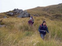
on a very narrow track for quite a long time, till in the distance the road and farm shed were spotted. Soon after, probably about 2 km away the 2 cars were driving towards the shed, so we knew the end was near. Finally, we arrived
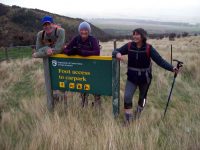
at that red car and headed back to Sutton. What a great day tramping we had!
How grateful we were to have the fire going and hot drinks ready by our left behind member. Another very tasty dinner and desert was enjoyed, with not as much chat as the night before!
Thursday 17 May. Leader Theresa
Another clear morning greeted us-even though Rock and Pillar Range was coated in snow. We enjoyed free range eggs with our breakfast. Quickly everyone got into action and tidied the Lodge ($12.50 a day). Then we drove to the site of the Red Bridge,
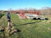
that was washed away by the 2017 July flood. Next we drove and parked at Sheep Wash Creek and climbed Smooth Cone–the visual symmetry of this small Cone
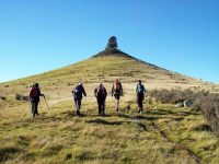
topped by a cluster of Basalt Boulder
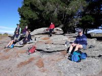
is the same from all angles. The large lone Radiata PIne Tree was planted on 8 November 1918, 4 days before the signing of the Armistice. I hope I look as good when I am 100!! Was a lovely spot to have smoko looking out over Strath Taieri.
We then went back, picked up gear and stopped not far past Sutton , climbed through fence and enjoyed lunch in the sunshine.
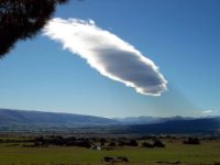
A most enjoyable tramp was had by us all. Maybe we could look at a combined trip sometime?
– Cheers, Eleanor
9. 28/3/2018. Redan Crater/Taieri Ridge (Dry Ridge). M. Leader: Theresa.
On a sunny day that got hotter as the tramp progressed, 13 people enjoyed the day in the Strath Taieri.
Leave Mosgiel and go highway 87 to Middlemarch. At the northern end of the township turn right. Go east, cross the Taieri river bridge and take the first left on Hartfield road. Continue up the road, pass the Renwick (the land owner) homestead on the left then park up at the first gate on your right. Cross paddocks…
…and continue to the top on a 4WD track. At the top while we had lunch there were views to the East of the Waikouaiti hills and the Nenthorn and Moonlight valleys. South we could see Saddle Hill – well half of it.
Still on the top, follow the track for about 20 mins then head NW down towards the crater. This is a very obvious crater rim.
To view it from the highway on the Rock & Pillar side looking towards the Taieri Ridge you should be able to pick it out. Lots of rock outcrops can also be seen but the crater rim is a stand-out example of the volcanic action in the area.
After a safe walk inside the crater…
… it was down and back to the cars. There was a gully to negotiate…
…before we rejoined the track we took on the way up.
Coffee at the Kissing Gate in the outside seating was the usual debrief…
…with lots of laughs and good company. – Theresa.
8. 27/4/2016. Taieri Ridge, Redan Crater. M. Leader: Arthur H.
The day dawned fine and sunny. Even better, it was a Wednesday – and the day for our tramp up onto Taieri Ridge. Perfect.
12 Trampers left Mosgiel at 9.05 a.m. in 3 cars. A brief pit-stop was made at Middlemarch and to reassemble the convoy. We parked on the roadside at 10.10 a.m. and sat in the sunshine to partake of morning tea.
It is some 6 km to the top of Taieri Ridge, uphill all the way.
Across several paddocks above the road and then up a 4WD track through the rocks and tussock.
The grade is a little variable, but good all the way. Beautiful country to walk through.
We stopped for lunch on top, just after noon.
We had good views in the direction of Nenthorn, and both Saddle Hill and Maungatua were visible away in the distance to the right. To the left the valley pointed the way to Moonlight and Macraes. Neither could be seen however.
We had just resumed our walk along the top when a tiny orange piglet shot across in front of us. He was obviously in a hurry as he didn’t stop to say hello. From lunch-stop we had a 20 minute walk before turning downhill to the Redan Crater. We sidled round the highest remaining piece of the ridge and gazed down into the crater where a few sheep grazed.
It is a few hundred metres in diameter – I forgot to take my tape measure so can’t be more specific. Sorry.
The Redan Crater is about 20 million years old, the result of volcanic action. There are other volcanic sites in the area, but this one is the best example of a volcanic crater in Otago.
We walked through the center …
… and out the other side, and down the ridge. Following the sheep tracks showed us the way to cross two deep gullies. Across a fence and then uphill briefly, when the day became noticeable hotter.
Soon we were back to the 4WD track and followed it back down. We arrived back at the cars at 2.55 p.m., having travelled 14.6 km.
The coffeeholics were in dire need of a “fix”, so a stop was made at Middlemarch to alleviate the problem. Showing normal good social manners, the rest of us accompanied them.
And so 12 happy trampers returned to Mosgiel. It had been a good day! – Arthur.
7. 30-31/3/2016. Trampers. Leaning Lodge.
We had 6 trampers keen to do the overnight trip to Leaning Lodge on the Rock & Pillar range. This made the travel arrangements, & the journey up
the hill to the hut quite easy. We had the loan of Ian Heb’s trailer, & Neil’s 4WD Ford ute, with his quad bike on the back.
This allowed everybody to travel to the start of the track in comfort, then we hooked the trailer onto the back of the quad bike, loaded all the packs & other gear onto it, & the back of the ute, put 4 people in or on the ute, & I drove the quad bike with Ian hanging on for grim death sitting on the rear platform. We had morning tea at this point, & then began the drive up the hill.
it’s about a 7km climb up the hill to the parking place by the hut, & takes quite a while due to the roughness of the track, but we all made it safely without mishap. it was then a case of ferrying all the gear down to the hut, & getting things set up in there, after which we had lunch while discussing what to do for the rest of the day, as the weather was really good.
it was decided that we would walk along to Big Hut via the highest point on the range, to take advantage of the views available from such a high point. [1457mtrs]. We walked up the road to the tops, where we discovered that there was a 4WD track leading all the way along the tops, & this went very close to the high point. There are the remains of a trig station [Trig H] on the very top which is easy to access. After spending some time here looking & taking photos, …
… we carried on towards Big Hut, & were surprised to see a DOC sign pointing the way to the hut. From this sign it’s only a short distance down to the hut, …
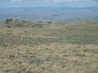
… where we had a rest, while everybody examined the info on the walls inside, & marvelled over the solar heating system on the North facing side of the hut.
We then retraced our steps back to Leaning Lodge, …
… & got things organised for the evening meal, which basically meant boiling plenty of water for the freeze dried food everybody had, & then boiling even more water for tea/coffee afterwards, plus some more for doing a few dishes.
Neil rigged up his lighting system [a 12v battery plus lead, & bulb with
a shade] so we had a good amount of light when it got dark. We made use
of this by reading some of the magazines left in the hut, & Ian gave us
a run down on how to map read. We were all in bed by about 9:45, & were
serenaded with snoring by one member who will remain nameless!!! After a
cool night, which saw the fog surround the hut, we woke to a clear
morning, with the fog having descended down to cover the valley floor,
& the sun starting to light up our side of the valley.
Breakfast was taken at a leisurely pace while we discussed what the day’s
plans were, packed everything up, & carried it back up to the vehicles.
As we had gone to Big Hut the day before, we decided to drive to the ‘tops’ road, & walk along in the opposite direction to view some more of the amazing rock [tors] formations that exist up there. We stopped for morning tea at a suitable tor that gave us shelter from the slight cool breeze that was blowing, & then walked a few kilometers further, before turning & going back to our morning tea spot for lunch.
Then it was back to the vehicles, & after securing everything, we set off back down to the car park at the bottom of the track, where the quad bike was loaded onto the back of the ute again, the trailer hooked up to the ute, &packs etc. loaded into the car ready for the drive home.
Of course we had to keep up the coffee club tradition, so a stop at the
Kissing Gate Cafe was in order before the drive back to Mosgiel.
We all had a great time, the weather was superb, & the company great, the hut is nice & comfortable, with double glazing, & insulation, so a successful trip.
Walked [over two days] 20km
Ave 4.5km/h
climbed 521mtrs
max elev. 1457mtrs – Ken.
6. 18/2/2015. Leaning Lodge. Trampers.
With an 8:30 start, eight trampers turned up for our assault on Leaning Lodge. We drove to Middlemarch, & then along Highway 87 towards where the Rail Trail crosses it. As there is no signposting for the track up to Leaning Lodge we had to keep a sharp eye out for the turn off.
After parking in the large carpark paddock, we loaded up the packs & set off up the track, which is a not too steep, zig zag 4WD track, that goes all the way up to the hut & beyond. It is a relentless climb of 9km with hardly any level spots to stop & rest, so we found a place to have morning tea, & then continued climbing.
About 2kms from the hut some of the party decided they would stop for lunch, [we didn’t know then that it was another 2k to go] but 3 of us went on determined to get to the hut for lunch.
The hut comes into view about 1km before you actually get to it, so it’s like a beacon drawing you on for the last bit of the climb. Then you have to go DOWN some quite steep steps to get to it, & after spending the best part of 3 hrs climbing, going down steep steps seems really foreign to the body.
However, the 3 of us made it safely, & had lunch in the hut.
As you may know, this hut is only one year old, [to replace the old Leaning Lodge on the same site] so it’s in very good, clean condition. It has a wonderful view…
…down into the highway 87 valley, will sleep 12 people, has a long drop loo, no water supply, but two sinks in a stainless steel bench, with drains to an outside sinkhole.
As it was the day before my birthday, I carried a bottle of wine wrapped in newspaper to keep it cold, to share with the others at lunchtime, but with only the three of us, & one person declining to partake, the level in the bottle didn’t drop very far, so I was resigned to having to take it all the way back down again!!
George also kindly arrived at the carpark early to present us with some cake & chocolates to celebrate his 25th wedding anniversary.
While we were having lunch, we saw two others walking along the 4WD track towards the hut, but they then turned around & went back again. We later learned that they had just come up to see the hut after their lunch, but decided to not go all the way to it.
After lunch we climbed the steps back up to the 4WD track & proceeded to walk back down the mountain., where we came upon two of our group resting in the shade of a big rock cluster. it was here that we learnt of one group member who had taken the wrong turn, & was last seen heading up the 4WD track to the mountain tops, which was away above the hut site. To make matters worse this person [who shall remain nameless] left their pack behind, which contained their water supply, & a cell phone, so when I rang the number, it didn’t get answered. By this time everybody had climbed high enough to at least view the hut, without actually going to it, so we just had to wait around for the errant tramper to return, which happily happened after about 1/2 an hour wait.
We then started the long walk down to the cars. This was rather hot going, as by this time of day the temperature was quite high, my wrist watch temperature gauge said 34°C at one stage, but from past experience, as I’m wearing it, it reads about 7°C too high, but even so, it was very hot work, & quite a few ran out of water before we got back down, so they were thankful for a stream near the bottom of the track. We were glad of the early start, which allowed us to climb in the cooler morning conditions.
We picked up the last member of our group, found lying in the shade near the cars, packed up, & drove back to Middlemarch hoping that the coffee shop would still be open, but as it was well after 4pm this was not to be, so we carried on home, arriving at the Mosgiel carpark about 5:30pm.
We all agreed that the trip was worthwhile, & the weather was superb all day, with just a very gentle breeze at times. – Ken.
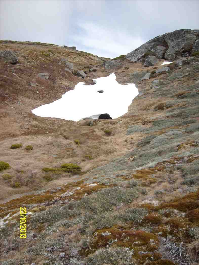
5. 23/10/2013. Trampers. Rock and Pillar – Big Hut.
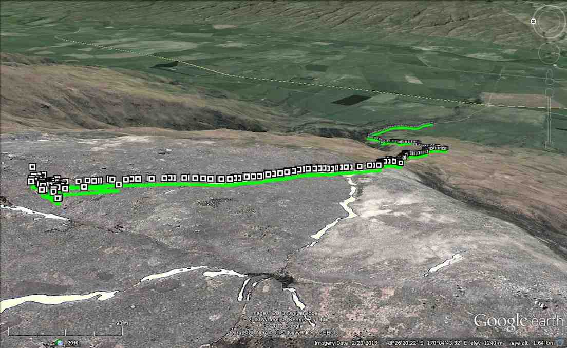
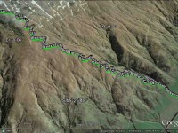
GPS of route, courtesy Ken. Distance 10.5 km; Moving time 3 hr 45 mins; Stopped time 1 hr 37 mins; Ave 2.8 km/h; Climbed 973 mtrs; Max Elevation 1337 mtrs.
As this was a new tramp for most, we left early to make sure we had plenty of time. We arrived at the start of the track to find a really nice looking day, so as the signs at the bottom say, we “set off slowly, & then eased up” as the grade got steeper. You have to realise that this is a 3000ft [970mtr] climb, so haste was never on the cards, especially for us 4 old farts that made the trip. We had a couple of stops on the way up to enjoy the views,
but we could also see some clouds that looked a bit threatening, so we pushed on up to Big Hut at almost the top of the range.
After a good look around, we had lunch,…
… & because we could see the occasional wisp of cloud going past the windows, we didn’t dally too long before heading back down the mountain. The air temperature had dropped markedly since our arrival, so we made fast progress down to warmer conditions. We stopped 3 – 4 times on the way down to give our screaming thighs some respite from the continual down hill pounding. One stop in particular was very enjoyable, as both the temperature, & the views, along with the comfort of the tall tussock were hard to leave. We arrived back at the car, & it was a bit of a struggle for some to fold themselves into the seats, due to stiffness setting in. A stop at the ‘Kissing Gate’ cafe for a well deserved coffee was appreciated by all, & we all said it had been a good tramp. We arrived home at about 4 pm, so it wasn’t as long a day as we thought it might have been before we set out. It took us 2 3/4 hrs to go up, which was within the recommended times of 2 – 3 hrs. So we felt really good about that. – Ken.
4a. 9/11/2008 Sutton Camp. Leaders: Bill and Pat. (See Sutton camp post)
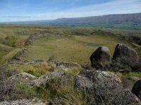
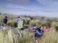
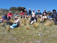
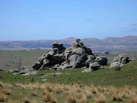
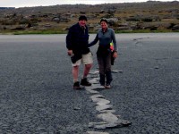
There were many rock formations to wonder at on the way.
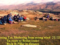
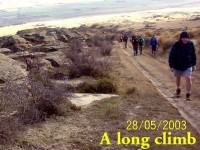
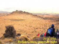
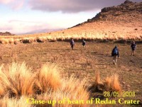
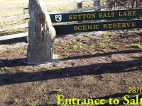
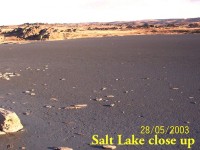
3. 28/5/2003.Crater and Lake day trips: Leaders: Bob, Arthur H, Val and Denise
2. 14/11/1990 Leaders: Bob H, Betty B.
1. 23/11/1988 Bus Trip. The Redan, an extinct volcanic crater on Mr R Renwick’s property, Middlemarch. Leaders: Bob & Audrey, Jack M

