No. 53 on old hardcopy list of 113 club tramps. “Jubilee Hut”
DoC Jubilee Hut information
DoC: Silver Peaks Routes: Possum Hut Route – Silver Peaks Route to Jubilee Hut – Silver Peaks Route beyond Jubilee Hut
7. 25/3/2020. Trampers. Jubilee Hut from Silver Peaks Station.
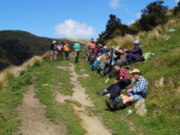
23 eager trampers(including Gordon’s daughter) headed off on a very calm, sunny morning at 9:30am
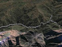
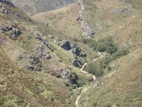
We followed the rough vehicle track up the left fork of Christmas creek continuing up the north side of the Valley.
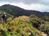
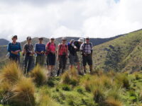
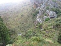
This is steep tussock country which has been oversown and grazed to create productive pasture. Mount John hut(an unused Musters hut owned by Silverpeak station) sits on the right hand side of the track).
The undulating walk continued until 11:50am to the junction of Cave creek, at this point the majority walked on another ten minutes to have a look at Homestead (or Christmas creek hut), also owned by Silverpeak station.
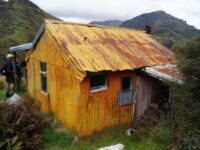

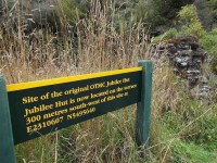
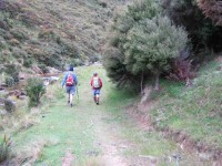
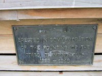
Meanwhile, the smaller group headed off towards the 1.5km walk up along Cave creek to Jubilee hut, waiting half way to regroup. Arthur had carried Loppers expecting to have to use them, however, Green Hut volunteers had the track clear. The original Jubilee hut was opened in 1951 on the left hand side of the creek, it was built in a cold spot. Signpost indicating Jubilee hut 100 metres on——that person had a long stride—— a very long 100 metres!
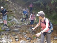
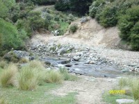
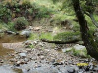
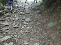
We had to cross Cave creek a couple of times—cooling on the feet.
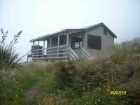
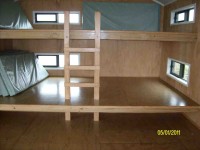
We arrived at Jubilee hut at 12:50pm. This 10 bed hut was built in 2007, some 300 meters up in a sunny spot with great views,
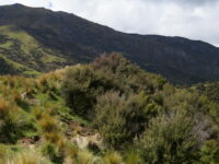
at about 600 metres. Staff and materials were flown in by helicopter (over 30 trips). Cost $70,000+. It is well used and just recently a booking system has been introduced.
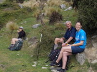
All enjoyed a leisurely lunch in the sun and hut
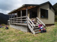
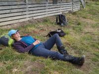
before heading back along the undulating track,
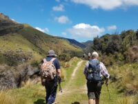
having rest/water stops along the way. The A team arrived back at 3:35pm, followed by B team at 4:00pm. Followed by an hour’s drive home.
This tramp was a new one for 18 members (1 driver wondered where he was going to end up). It was 2015 when 7 from the club were last there. So——-the 2 Leaders made mental note to self———Been there—Done that!!
Was a great way to spend the day In those very vast hills of Silverpeak Station, good company, good weather—-good life. – Eleanore and Arthur.
6. 11/3/2015. Trampers. Jubilee Hut from Silver Peaks Station.
Two of the party had their lunch on the track about 10 mins from the hut, & one of them decided to walk back out again on their own, thinking we would catch up with them later. After lunch, we went down to the creek from the hut, & Ian [being the fittest] was voted by me, to go & photograph the sign at the old Jubilee Hut site,…
One party member while crossing the Christmas Creek where it doubles back on itself, slipped on a rock, & very slowly, & not so gracefully, first put a hand down to steady themselves, but that didn’t work, so they ended up sitting in the creek. [Oh I wish I had my camera handy !!] So this guaranteed a wet walk back to the cars for this person, but they did dry out rather quickly I think.
The rest of the walk out was very uneventful, compared to earlier happenings, & we all arrived back at the cars safe & well. We arrived back at Mosgiel about 5pm from memory.
Something we learnt today was :
1: We MUST stay together better as a group, or one day somebody will get properly lost.
2: Walking poles are handy for crossing creeks, even if you don’t think you need them!!
3.8km/hr ave.
Climbed 876mtrs.
Max elev. 426mtrs.
5. 12/2/2014. Trampers. Three Huts.
Add on another 1 1/2 – 2 km for the extra distance to Christmas Creek Hut.
Walking time = 4hrs 25min; Moving Ave = 3.6km/hr; Total ascent = 919 mtrs.
It was good to see that the ones going on the Motatapu trip were carrying their large tramping packs filled with a bit more weight than they would normally carry.
It took an hour to drive to the starting point, & as it was not looking brilliant weather wise, we decided against going up to Mt. John Hut, & proceeded along the track a bit further for morning tea break. The double crossing of Christmas creek was done without mishap, & we continued on to the turn-off to Cave creek valley.
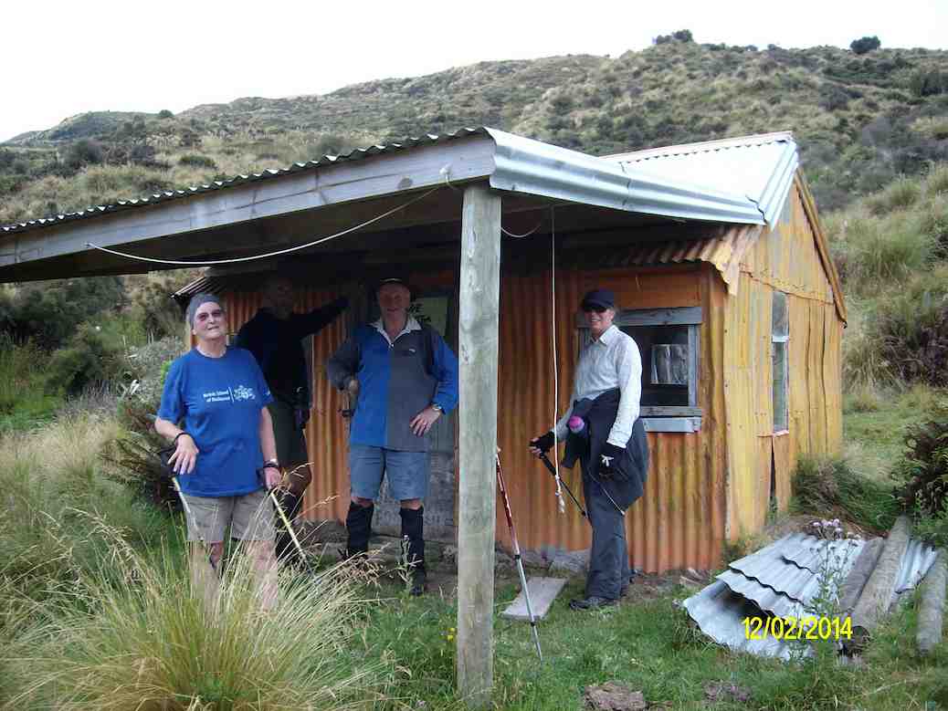
Up to this point we had only worn our rain jackets for a short time, during a light shower, but as we approached Jubilee Hut the rain drops started appearing again, so we managed to get to the hut before the weather let loose with a heavy shower which continued right through our lunch break, & beyond.
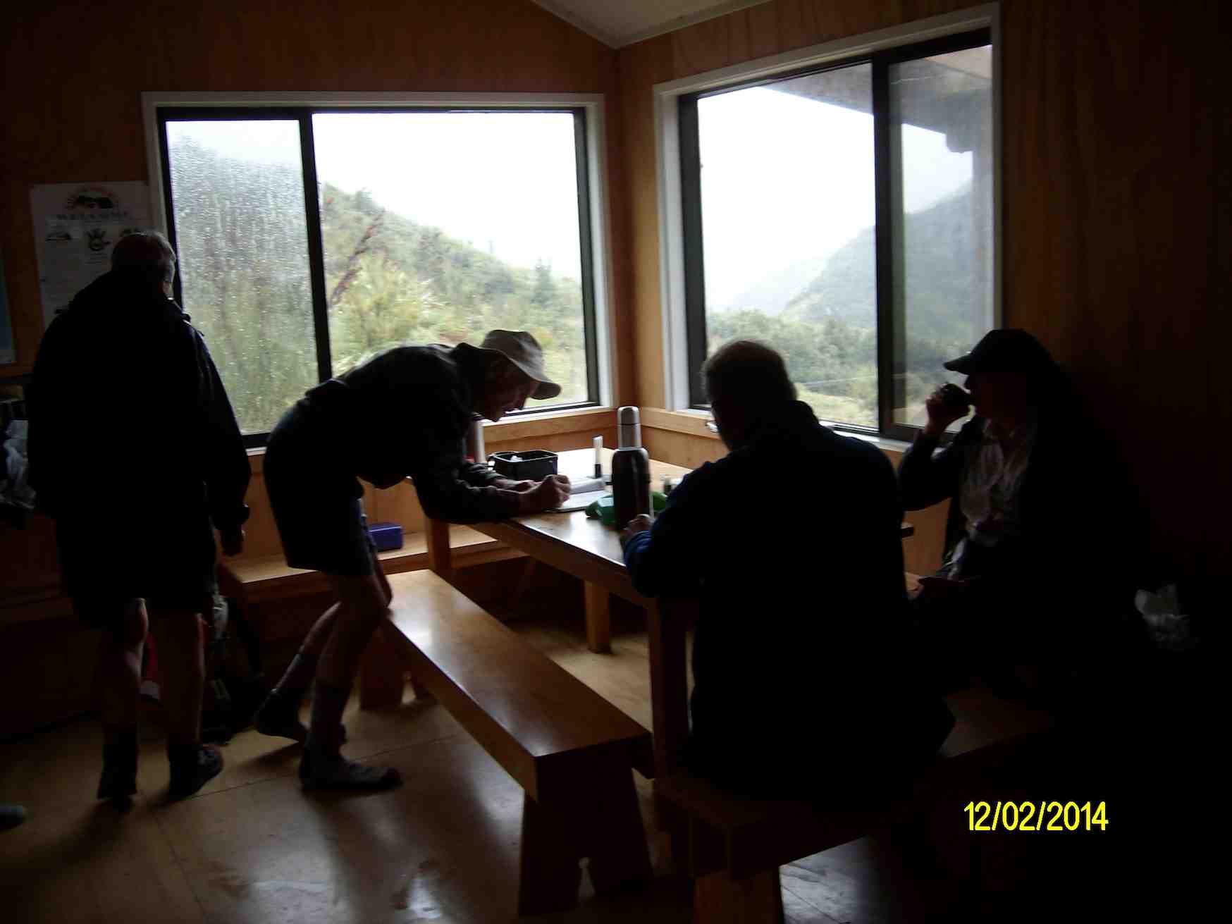
By the time we got to the end of the Cave Creek valley, the rain had ceased, so it was off with the wet weather gear again. The only problems with the Cave Creek crossings were some wet feet, & Ken landing on his butt after stepping on a slippery rock. Just as well he had on his waterproof leggings, or he would’ve got a wet butt, as well as one boot full of water.
We made it back to the cars before the approaching rain, which we had seen coming some time before, & had a wet ride all the way back home.
There were some very tired trampers at the end of the day, they were not used to carrying the bigger packs with more weight in them, however, it was a good opportunity to ‘shake-down’ the equipment. – Ken
4. 15/5/2013. Trampers. Mount John Hut and Beyond.
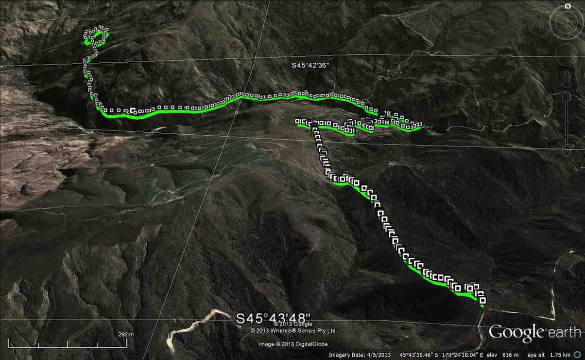
The day started at 8:30 from Mosgiel carpark, with a very misty/foggy outlook on the Taieri, but we were hopeful that it would be clearer inland. When we were about 3/4 of the way to Hindon, the fog/mist just disappeared, & we were looking at quite a nice day.
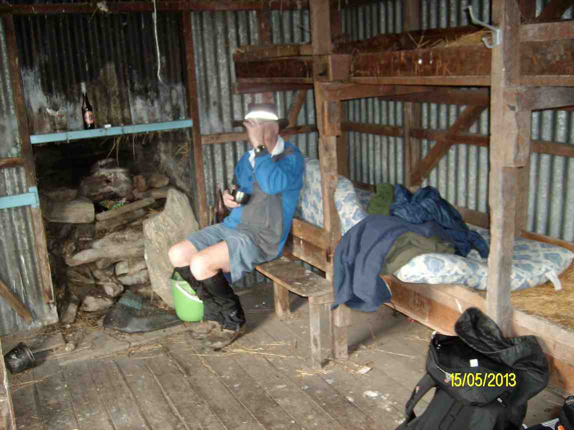
We arrived at Silverpeaks station at 9:30. & set off towards Mt. John Hut where we had morning tea, & examined the log entries carved into the woodwork of the hut. [There is no log book in the hut.]
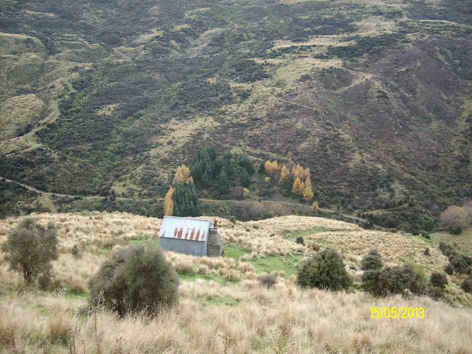
After leaving the hut we made our way up the track towards the top of Mt. John, but we took a wrong turn, which led us off to the NE side of Mt. John. However as it was already 12:30 when we reached the top, we decided to have lunch in the sun, & admire the views in all directions.
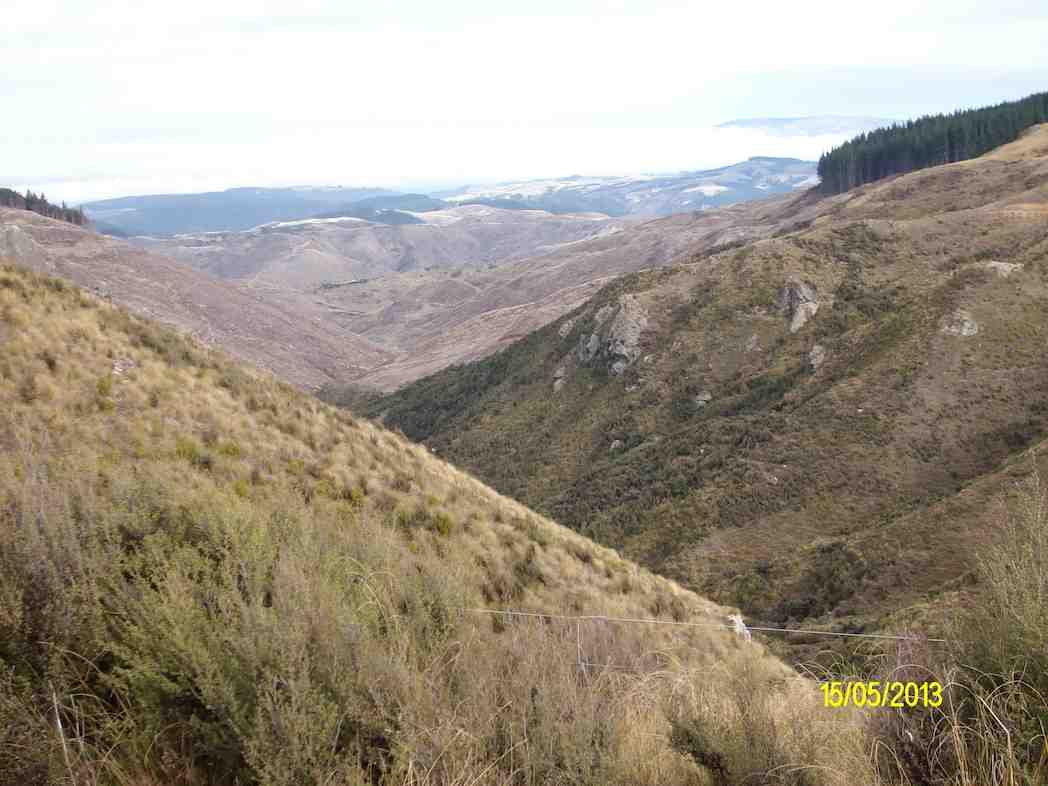
We then retraced our steps back to the car, & arrived back in Mosgiel at 4:00pm.
Climbing Mt. John was a bit of a grunt at times, & only suitable for the fitter members. If we had gone to our original destination of Popular Hut, that would’ve been another 3hrs or more walking. [Estimate], & it’s a long climb back up again!!! – Ken
3. 5/1/2011. Trampers. Orange and Jubilee Huts from Silver Peaks Station.
2. 29/12/2010. Orange/Homestead/Christmas Creek Hut from Silver Peaks Station. -‘ recce’.


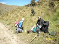
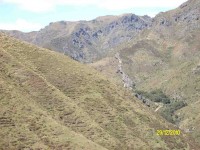
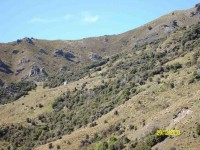

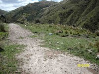
Looks like you guys enjoyed an adventuresome and satisfying day tramping. Great photo’s. Jubilee Hut, just what the doctor ordered, looks great.