No. 110 on old hardcopy list of 113 club tramps. “Waipori Rd to Shaws Rd (See Bill Hunt) Year Round”
32 km from car park.
10. 18/11/2015 Trampers. Rannock Track from Waipori Picnic Area to Shaw Road.
On a day with dodgy looking weather, 7 of us set off for the picnic area at Waipori Dam at Lake Mahinerangi, to do a walk through the forest roads to the old fishermans huts that are on the lake edge. These are the huts that we normally walk to from Post Office Creek end, but that track is no longer negotiable, so we decided to go from the other end.
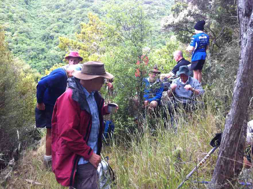
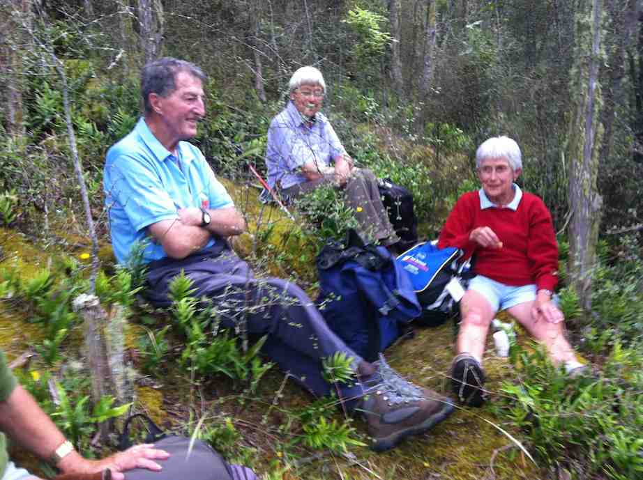
However, when we arrived at the picnic area we discovered that the dam has been closed off with a tall gate, & there is no access allowed into the forest. This came as a bit of a blow to our plans for the day, so having to improvise, we drove back along the road till we found a sheltered place to have morning tea,
while we mulled over what the next step would be. We eventually decided to go back down the Waipori Rd. with the view to walk a bit of the Government Track.
We stopped off at the Waipori township to have a look at the Crystal Falls, which a few of us had never seen before. Impressive sight, although being blocked from a really good view by trees etc.
We stopped off at the Waipori township to have a look at the Crystal Falls, which a few of us had never seen before. Impressive sight, although being blocked from a really good view by trees etc.
When we got to the bridge over the river just before the Govt. track, we decided to go into the picnic area there, instead of going to the Govt. track, & have a look at the track from there up to Shaw Hill Rd.
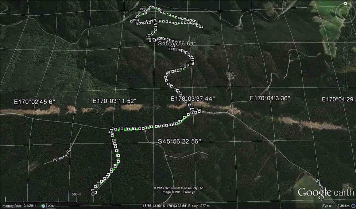
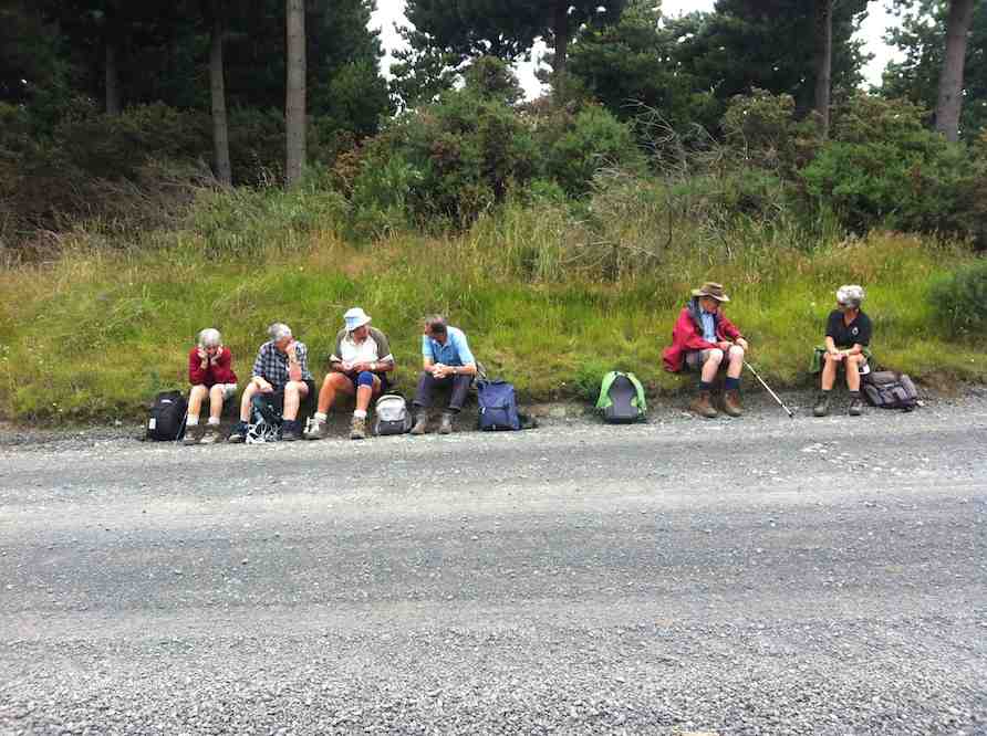
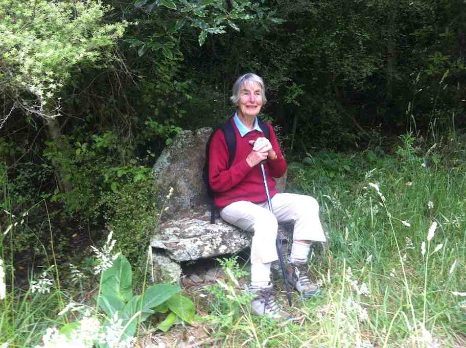
We parked up on the entrance road, as there is also a gate across there now as well, & walked up the track to the old shed, where we poked around a bit before moving on further up past the stone seat, & up to where the 4WD track starts. This lead us up to Shaw Hill Rd. where we had a bit of a look around before settling down for lunch under some pines, just by the bee hives. After lunch, we retraced our steps, but this time we took the loop track which joins up with the other one down near the bottom.
Ian H. did some research on the old shed & the stone seat, & came up with the info that the shed, along with it’s adjacent toilet, was built for the forestry workers, & the stone seat was constructed by the workers for their own amusement.
So our day was not entirely wasted, & we all enjoyed the different things that we saw during the day.
Walked 6.5km
3.7km/h
climbed 290m
max height 474m – Ken.
Walked 6.5km
3.7km/h
climbed 290m
max height 474m – Ken.
9. 5/2/2014 Both. Waipori DOC picnic area over bridge. Track up to Shaw Road.
8. 9/1/2013. All. Waipori DOC picnic area over bridge. Track up to Shaw Road. Leaders: Bev, Ian.
Eighteen climbed the track and four ramblers walked up the Waipori Road.
One hiker spoke for many when he thought the climb seemed much longer and steeper than when he had last done it (about a decade earlier!).
7. 20/10/2010. Hikers. Waipori Area. McLaren Rd, Wesleydale Rd, Farmland to Mill Creek. Poleline to Wesleydale Rd. Leaders: Bill and Lesley.
Following is a brief report on Wednesday 20/10/2010 Hikers tramp.
In all there were 12 people who enjoyed the day mainly because it was a new tramp, a lovely day, and no rain.
We parked the cars in McLaren road and ambled on up McLaren turning into Wesleydale Road, stopping for morning tea out of the cool breeze. Then continued on over farm land to Mill Creek. Found a lovely spot for lunch in the sun along the Waipori river bank.
After lunch we walked up the pole line to Wesleydale Road and back to the cars. Approx 12 km all up.
The morning was cool until about 10am after which the sun shone from then on. – Lesley.
6. 17/9/2008. Hikers. Waipori Walk. Medium. Leaders: Bill H, Peter.
5. 21/9/2005. Both. Waipori area. Leaders: Arthur and Barbara, Bill H, Lance and Lois.
4. 26/5/2004 Both. Waipori Gorge. Climb from the DOC picnic area. Medium. Leaders: Bill H, Lesley, Irene, Les W, Ray, Mary M
3. 13/9/2000. Waipori Gorge area. Leaders: Bill H, Pat and Bill.
2. 10/9/1997. Waipori Gorge. Leaders: Lesley S, Bill H, Bev H.
1. 4/10/1995. Waipori Gorge. Medium. Leaders: Bill and Lesley, Graham and Doreen.

Sounds like u had a great day.Angela