
 19/03/2025. Post Office Creek via Reid Farm. Grade 3.5. Hikers. Leaders: Bruce Spittle and Dave Roberts.
After leaving Peter Johnston Park at 0900, seven cars regrouped and collected more passengers at Traquair Junction before 30 hardy outdoor enthusiasts proceeded in convey about 11 km down Mahinerangi Road to park near the woolshed about 500 m past the entrance to Verterburn Station at Rapid Number 1013.
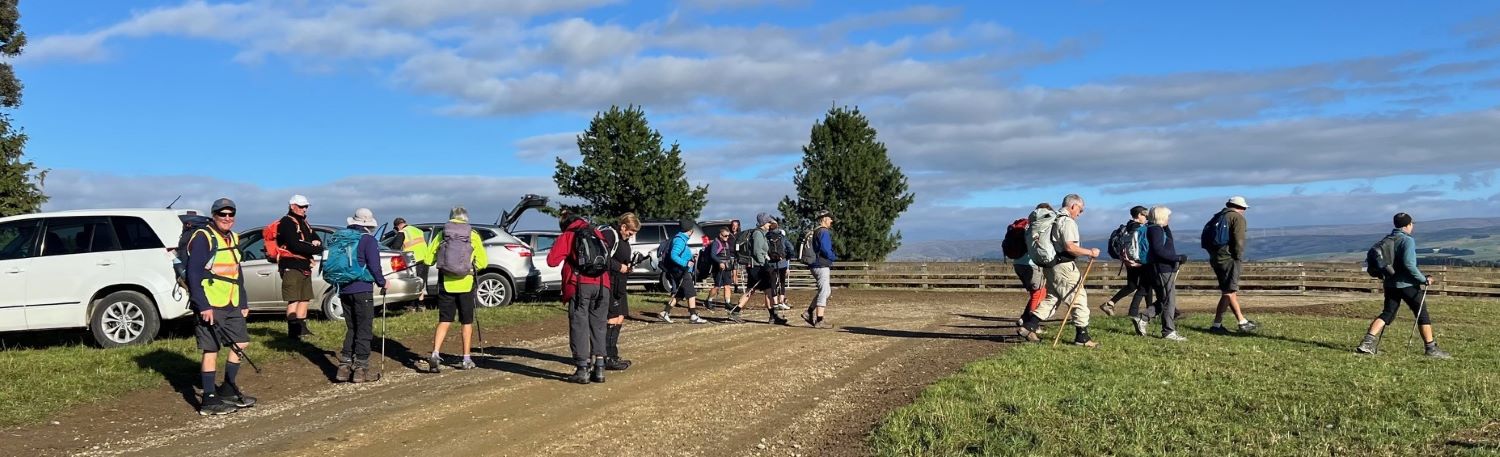
We proceeded in coolish weather along the paddocks parallel to the road back to the trees at Verterburn Station homestead and then walked on the road to the other side of the homestead trees and then back into the paddocks to have morning tea near the pond with resident paradise ducks.
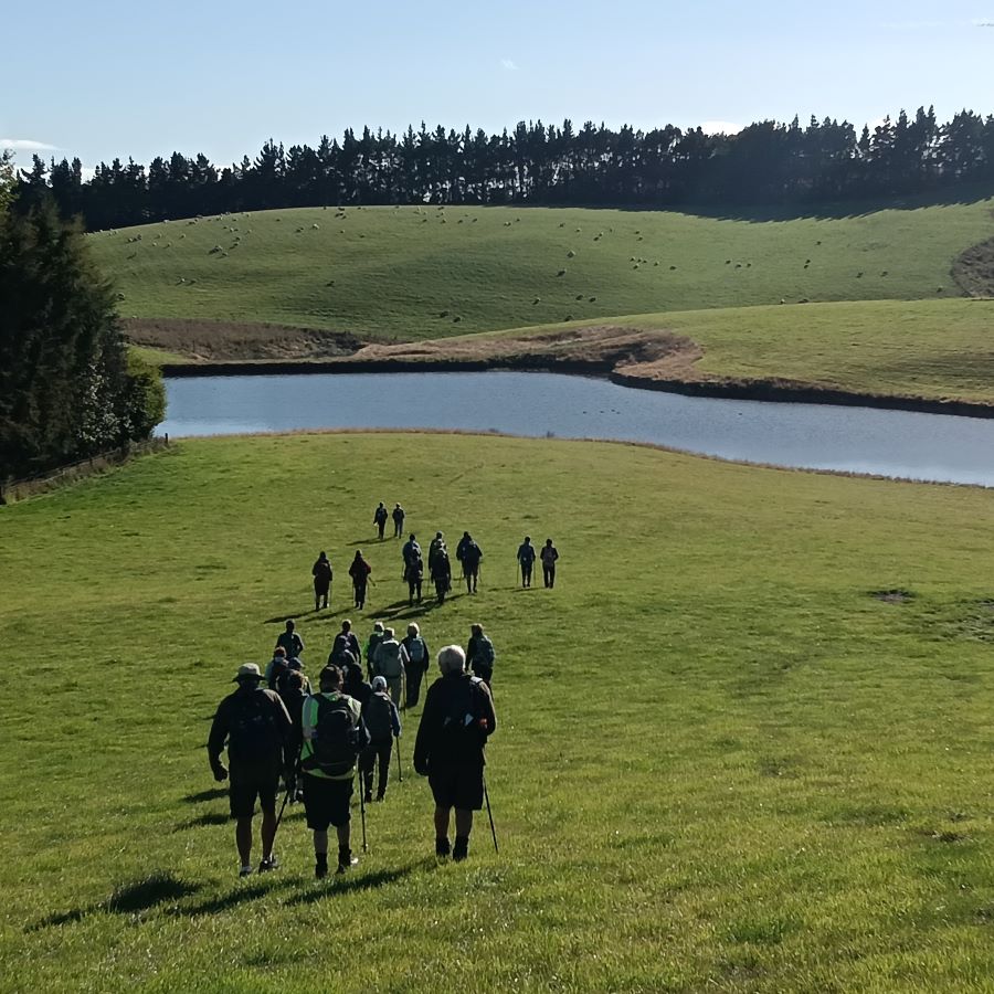
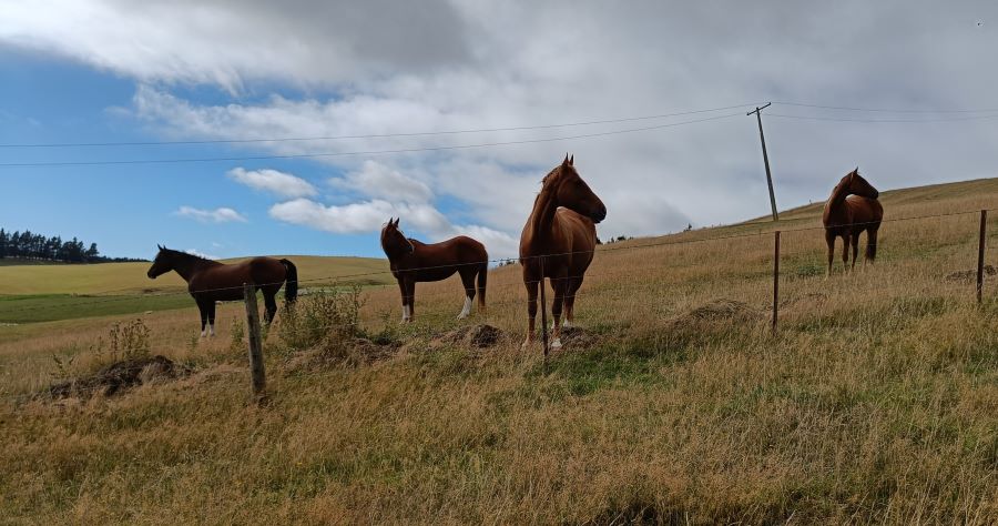
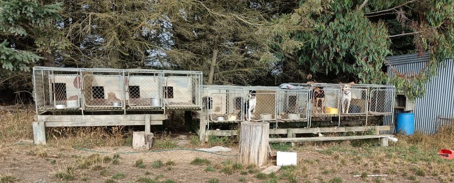
After morning tea we crossed the pond dam to take in the view from a small hill and then turned back to the road and proceeded to the road leading to the farm of Leslie and Dianne Beattie at 893 Mahinerangi Road. We walked to the top of the road past some canine and equine mammals where Diane kindly met us, checked that we knew where we were going and supplied us with a farm map.
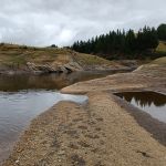
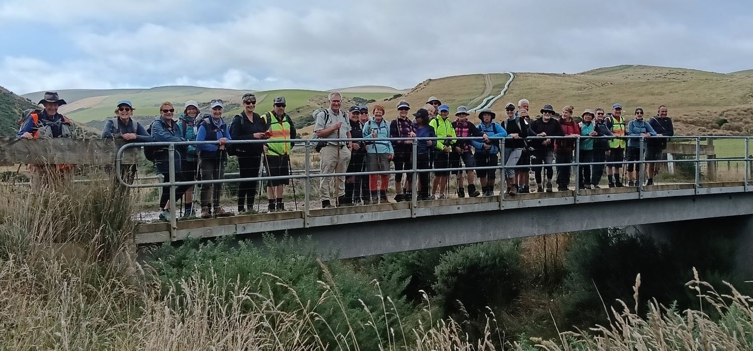
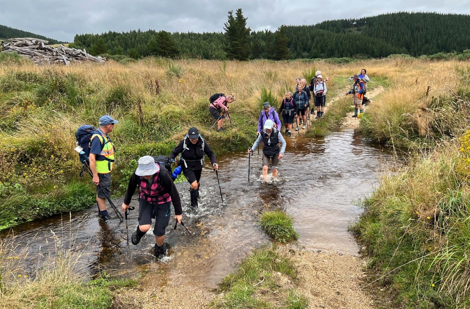
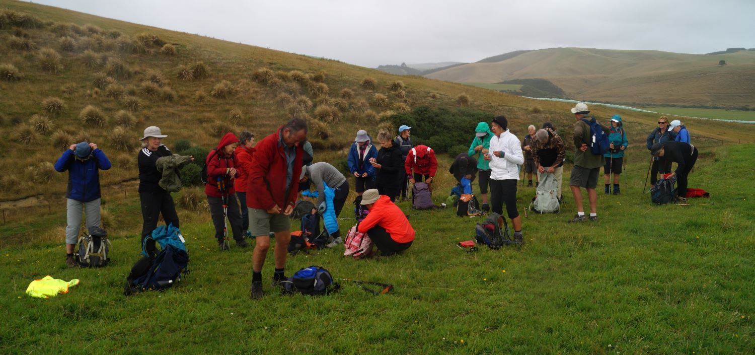
We turned right at the road junction at the top of the hill and then entered a paddock to follow a horse and sheep track to the bottom of the hill near bridge over Post Office Creek where we were photographed by Phil.
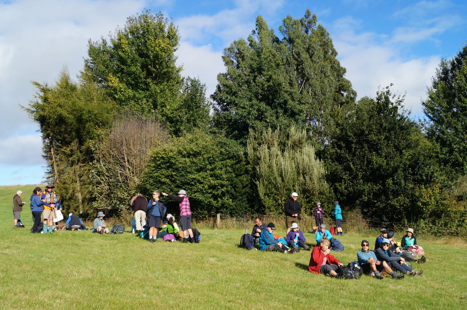
We then turned upstream to reach the gate to the lunch site by the river at 1140. This was seen to be a bit early for lunch so, to fill in time, we walked up a grassy four wheel drive track to get a view of the country upstream from where Post Office Creek was coming.
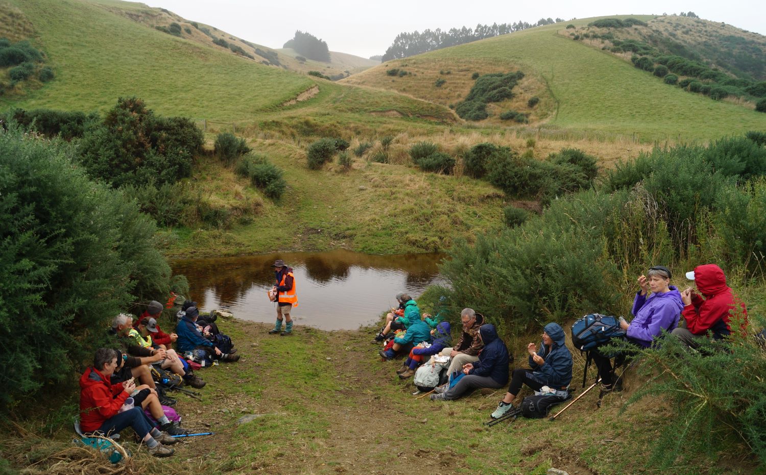
At 1200 we were back at the lunch site to have lunch in a sheltered location beside the creek. Post Office Creek was previously called Verterburn for which one meaning is a slow moving small stream. In Gold Trails of Otago (Wellington: AW & AH Reed; 1970) June Wood reports that gold was first reported late in 1861 at the Verterburn, later called Post Office Creek by O’Hara and his mates who arrived at Tuapeka with 34 oz of coarse nuggets mixed with quartz and conglomerate. She also noted that one of largest nuggets in Otago was found at Waipori by Davies in 1863 and weighed 27 ounces.
After lunch we headed along the road past some cliffs produced by sluicing for gold and some beehives. When the road branched Phil offered to guide back to the cars those who did not want to go on the 50 minute return detour to the old Waipori School.
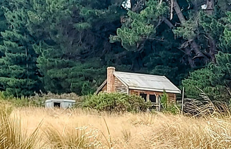
The grassy track to the school led to a junction where we went to the right rather than straight ahead up the hill. We went through a narrow area of old sluicing remains and passed three gates to arrive at the school house which was apparently moved from where it originally sited to become a musterer’s hut rather than becoming submerged with the flooding of t he the Waipori River Flat and the creation of Lake Mahinerangi after a 11.6 m high dam was built in 1924, approximately 1.1 km upstream from the original weir.
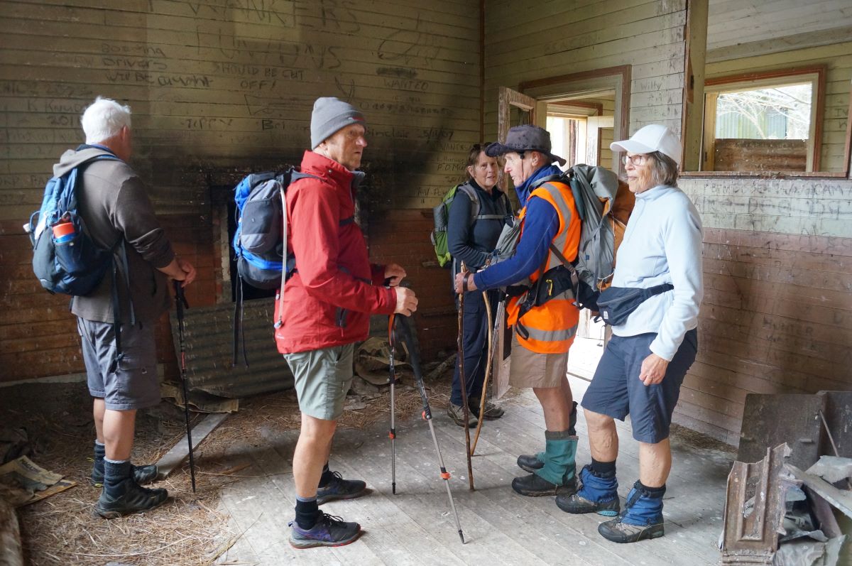
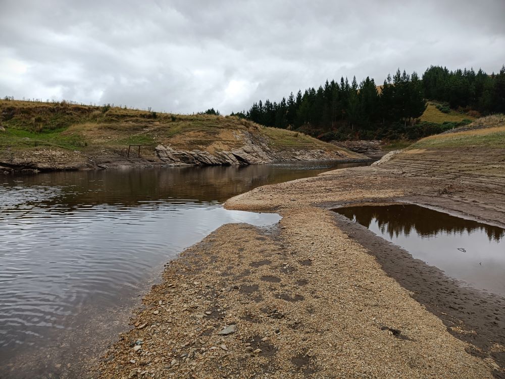
After inspecting the school, which has seen better times, we walked down the four wheel drive track for 5 minutes to reach Lake Mahinerangi.
We then retraced our steps to the initial junction and crossed Post Office Creek, passed the crib and proceeded up the hill.
After passing some cattle yards on the left we arrived at Mahinerangi Road and followed a farm road on the right, parallel to the road, back to the gate near the woolshed where the cars were parked. The last person arrived at 1530.
A few drops of rain fell at lunch time but the cooler weather was easier to cope with the heat experienced on the recce.
Distance covered: 14 km on Garmin, 13.5 km on mobile phone, ascent 350 m on Garmin. Our thanks are due to all who came out for the adventure, to Dave Roberts and John Gardiner for their excellent leading, to Andrew Reid for permission to go on the Reid Verterburn
Station Farm and to Russell, Leslie, and Diane Beattie for permission to go on the Beattie Farm.
Bruce Spittle
Link to background information and earlier tramps and hikes in the same area.