
 19/03/2025. Yellow Ridge via Walkers Road, River Track/out via Tunnel Track. Grade 5. Trampers. Leader: Ross Davies.
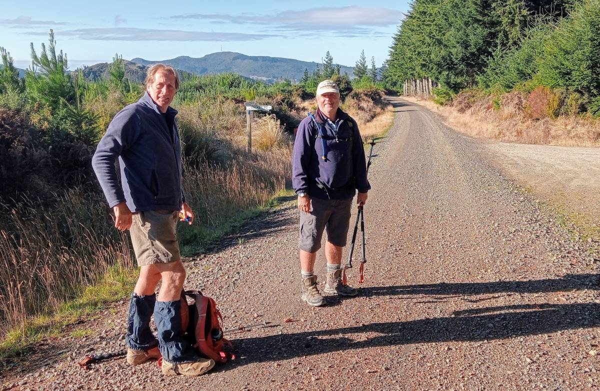
Three of us showed up for an adventure in the South Waikouaiti River.With only one vehicle, car shuttling wasn’t possible. So we parked along Mountain Track Road (aka Steep Hill Rd) at the top of the Tunnels Track. After an early start, we set off at 9:30am walking back along the road. Half an hour later we turned off along Walker Road.
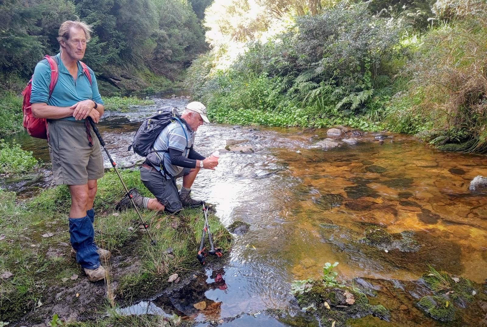
It was 20 minutes along and down to the end of the road at the beehives. Then it was down the track through the dark dark forest. It was steep as foretold, although dry under the pine trees. We made a slow and careful descent for 30 minutes to the South Waikouaiti River for a slightly damp crossing.
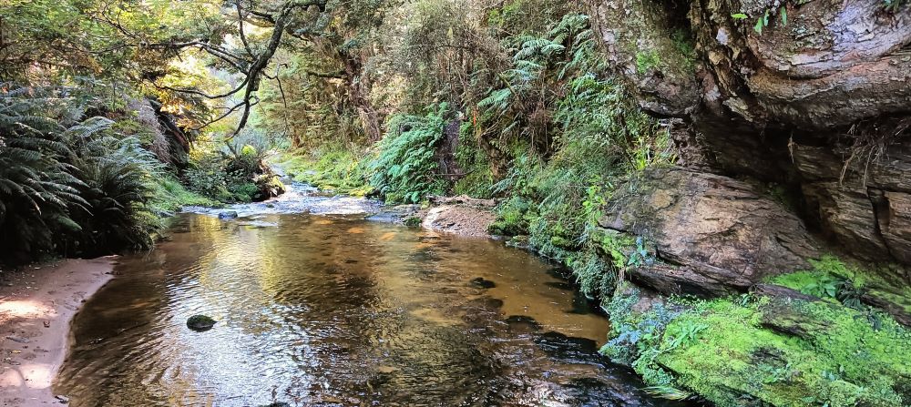
Once on the true left, the forest is nice and natural and the birdlife increased, especially the fantails. A very inquisitive one alighted first on a tramping pole, and then a walking stick. A short scramble brought us up and onto the fabulous River Track; well benched and well maintained.
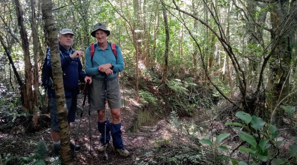
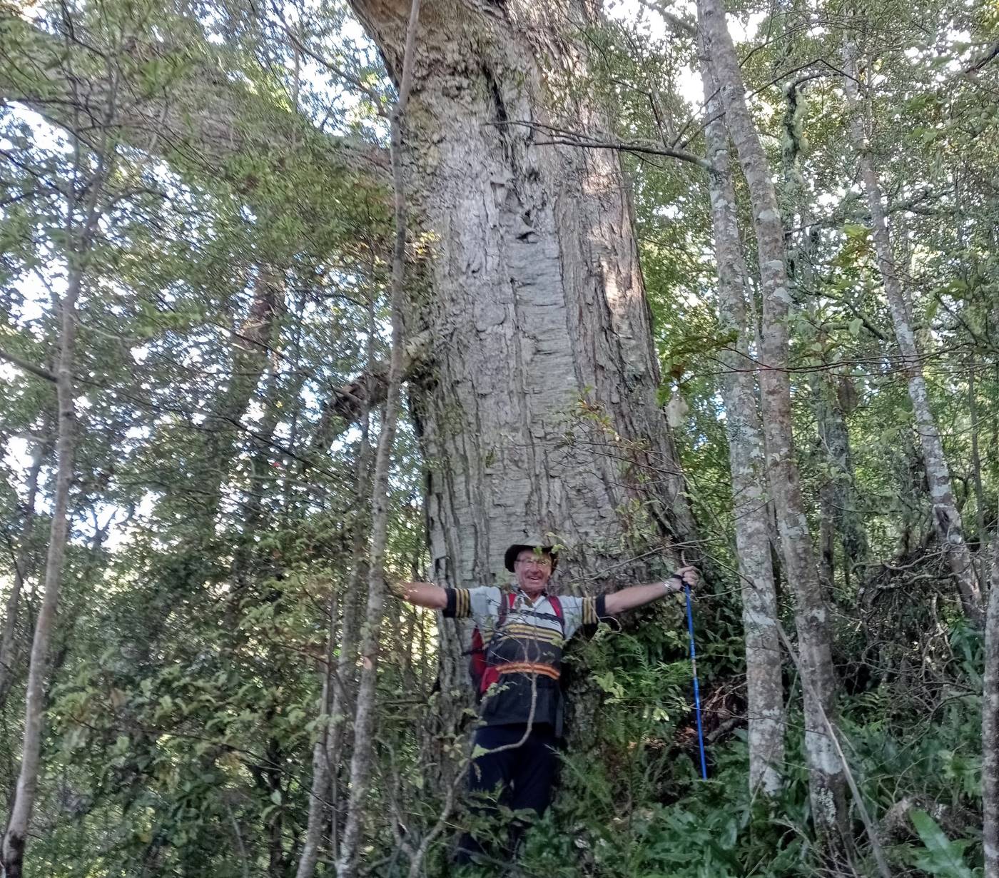
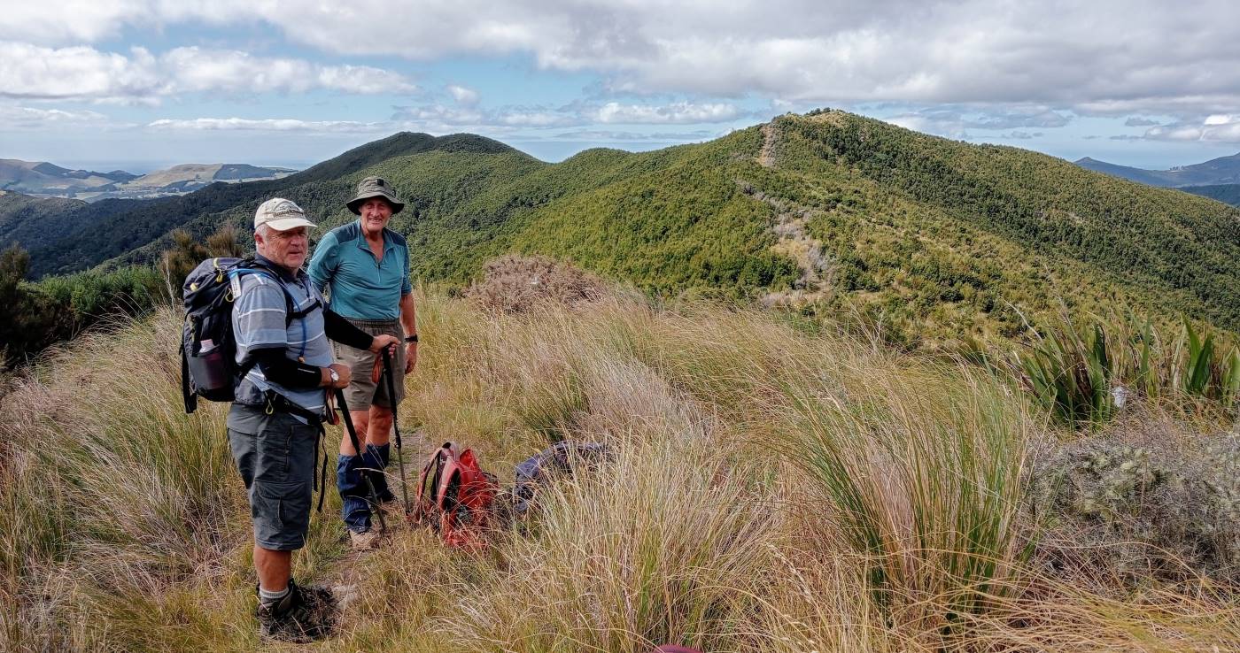
Half an hour down-river bought us to the stream between Hermits Ridge and Yellow Ridge. The beech forest here is lovely, with some trees very old.
Halk an hour up a very well-made track brought us to the track junction on Yellow Spur. It was another 15 minutes up the spur to Phillip J Cox Memorial Hut for lunch just after midday. After lunch in the sun at the hut, we continued up to Yellow Ridge for an hour or so, finally stopping a little short of Rocky Ridge.
The afternoon was overcast and calm; not hot or cool; just nice. We retraced our steps to the hut and then back down the spur to the track junction. This time we continued straight down the ridge and down the original track to the South Waikouaiti by 3pm. The river is low, and we managed to keep our socks dry getting across.
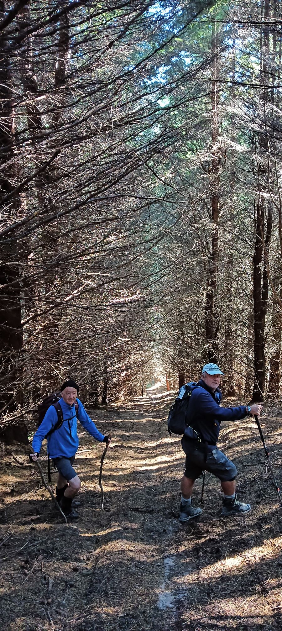
Reflecting on the signs of old gold workings, we started on the inevitable climb out of the river. It was steep but not as steep as our morning route down. We met a lone tramper who assured us we weren’t far from the top, and he was right. We emerged from the dark pine forest onto the road and into the sun at 3:40pm. It was good to get the boots off and reflect on a good day out in the hills.
Thanks to City Forest for access to the road and their forest. And special thanks to Neil H for help with the recce, and despite not being able to make it for the trip, helping at the Mosgiel end on the day.
Yellow Ridge might be a warp in the space-time continuum – our Strava and Topo map statistics varied wildly, although they agreed the distance was 13 kms. Elevation gain was roughly 750m and moving time perhaps 4.5 hours.
Ross
Link to background information and earlier tramps and hikes in the same area.