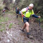
 30/10/2024. Greengage Track. Grade 5. Trampers. Leaders: Graeme Souter and Graham Thurlow.
Bah humbug how hard can this grade 5 tramp be? Heh heh they were about to find out as those who did the recce already knew what to expect.
So it was 11 keen or perhaps naïve trampers headed for Swampy Summit ready to tackle Greengage.
After negotiating that dam gate on Rollinsons Road we arrived at Swampy Summit where we parked up and readied ourselves for a big day, and a big day it was.
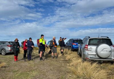
Graham took over the leader duties and promptly declared that it would be quicker to “bush bash” over the tussocks back down to Rollisons Road. Off we went – this is “fun” someone said – “ouch” said another as the spear grass made itself known to the unsuspecting. But it was fun and soon we were down on the road and heading to Rain Gauge Spur which would ultimately take us to our destiny – Greengage Track.
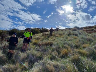
Morning tea was at the junction of Rain Gauge and Greengage – “that wasn’t too bad” heh heh just wait was the reply, the fun is about to begin.
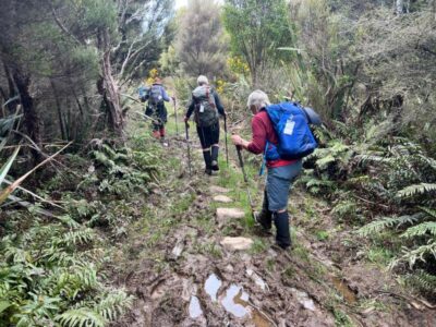
Greengage starts off fairly innocuous but gradually descends into the abyss to the Silverstream. The track got progressively steeper and wetter with a good number of the team loosing their dignity and going for a tumble (some more than once). Fortunately no injuries were sustained, just lots of laughter. As we neared the Siverstream, the track became very wet. A rope was produced (well done Graham) and our decent to the stream was made without further incident.
Once across and all accounted for we found that apart from our lost dignities our leaders (ie the two G’s) had lost their cap and a front tooth.
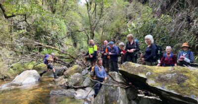
The ascent from the stream is greeted with what appeared to be the north face of the Eiger. Again however a rope is in place and soon all 11 had made it safely to the top.
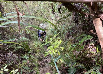
It was then the long trudge up the track that would eventually take us to the Possum Hut Route (or is it the Green Ridge track?).
Lunch was taken somewhere along the way with views looking towards Long Ridge.
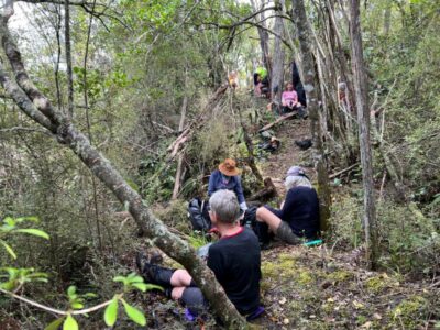
Possum Hut / Green Ridge route was finally reached early afternoon and it off to Swampy Ridge track and back to the cars. Upon reaching the junction a discussion was held about the grading. Was grade 5 appropriate? The bidding however started at 5.5 and very quickly reached 6. It was agreed however that if someone fell into the pending bogs that were coming up the grading should be 6.5.
Not far now was the cry – only 4.5 kms according to the sign. Initially the going was ok but those of us who did the recce knew that the dreaded bogs were waiting to ambush us. They soon appeared along with the cameras waiting to catch the inevitable tumble. As we trudged through the bogs, swung around trees and bush bashed around the worst of the bogs inevitably a squeal was heard. One of team was down – it’s definitely a 6.5.
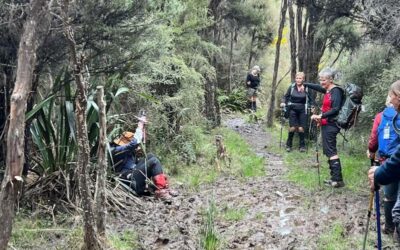
It was mud and bogs and more bogs for what seemed like an eternity. Eventually we cleared the bogs – or so we thought. But no -Swampy is a sod as there was a couple more bogs to negotiate and at least 3 false summits before the welcome site of the cars.
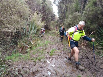
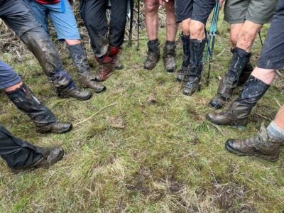
And so it was 11 very tired but satisfied trampers had completed today’s tramp. Will they do this again – who knows. Memory is a funny thing.
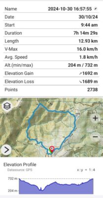
Thanks to all for a great day out albeit a long one (over 7 hours), but it was very enjoyable with lots of laughs, great company and in the end very tiring. Oh bugger, I forgot that dam gate on Rollinsons Road needs to be negotiated again.
Graeme S. & Graham T.
Link to background information and earlier tramps and hikes in the same area.

The ‘Possum Hut Route’ name on the Topo maps is hard to fathom. it was ‘Green Ridge’ when I first went there 55 years ago, enroute to Green Hut and Green Hill. I’d love to know who changed the name, and why. Meanwhile it’s still Green Ridge to me.