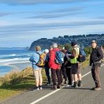
 24/07/2024. Delights of St Clair. Grade 1.5. Hikers. Leaders: Neville Griffiths, Wyn Davies.
After parking our cars and meeting up with the Taieri Hikers in Moana Rua Road, 20 Hikers headed off just after 10am and walked across the Kettle Park Sports field towards Marlow Park.
We could not have asked for a better day; the sun was still to show but there was no wind, and it was reasonably warm for a mid-winter’s day. The forecasted high for the day was expected to reach 17 degrees.
Arriving at Marlow Park we made our way down to the seated area in the middle of the playground for morning tea and a toilet break for those who needed one. Dave Roberts joined us at Marlow Park.
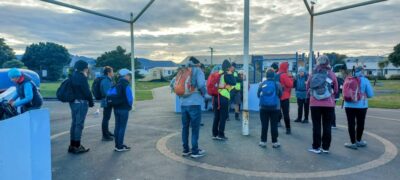
All refreshed and raring to go we proceeded up onto John Wilson Drive and walked the 2.77 kms along John Wilson drive to Lawyers Head stopping several times to make the most of the stunning photo opportunities of the beaches and coastline.
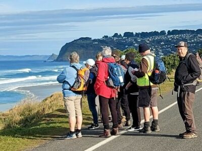
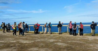
Lawyers Head is named for the likeness of the cliff face to the profile of a lawyer in a traditional lawyer’s wig and it has the unenviable reputation of having the highest number of deaths by suicide for any one location in New Zealand.
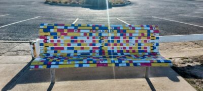
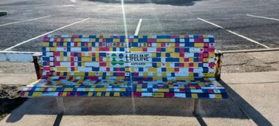
Several hikers commented that they had never walked John Wilson Drive so it was a first for them.
After a head count, we proceeded back down John Wilson Drive onto the path which led us down to the beach. The tide was on the way out and the plan was to walk along the beaches to the St Clair Esplanade where we would have lunch. Contractors were working at the far end of the beach towards St Clair to stabilize the area with sand sausages to mitigate the erosion of the sand dunes and the old Dunedin landfill in the proximity of the Dunedin Rugby Football Club.
After discussions with one of the contractors he advised us that that we could not pass due to the risk of an area of soft sand where two excavators were working unless we took a width berth around which would involve getting our feet wet. When I did the recce it was all fine. However not wanting to get wet feet we decided to backtrack a couple of hundred meters and go up the dunes and walk along the top.
We surfaced from the beach area just above Marlow Park and walked across the Kettle Park playing fields and found the track leading up to the James Barnes Lookout.
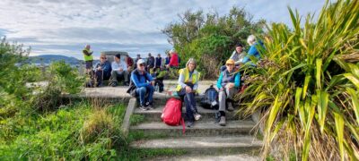
Being almost 12.30pm when we got to the lookout, we decided to that this would be a good place to have Lunch. The sun had come out resulting in everyone shredding jackets and tops and it felt like we had reached our anticipated 17 degrees temperature. Rested after basking in the sun while eating our lunches we headed off just after 1pm along the track towards the St Clair Esplanade. The Dune track was in a state of disrepair, and we ended up scrambling down the sandy bank back onto the beach at the entrance to the Esplanade.
Making use of the toilets at the Esplanade Wyn took over as leader as she was going to guide us around the St Clair area and give us history of some of the historic homes and families who once lived in the area.
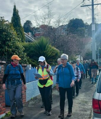
From the Esplanade we crossed over Bedford Street to check out the photographer’s house where the glasshouse out the back had been made with old glass plate negatives, How’s that for recycling? Then we headed off along Forbury Road and took in the fine homes of Coughtrey Street and Ings Avenue plus a mountain parrot street-art painting in Hargest Crescent.
Coughtrey Street seemed like a good place to explain how St Clair has developed from swamp to farms to horticulture and then to exclusive subdivisions. It was hard to see much of the house on the corner of Ings Avenue and Forbury Road, but some say it’s the second finest in the city after Olveston. Perhaps the most famous inhabitant was the owner of the Melbourne Cup winner in 1970.
After that we carried on along Forbury Road and Allandale Road before cutting back along Motu and Mavis Streets. This is the area where it all started with Valpy’s farm and the Allan’s extensive nursery and 1000-tree orchard.
We passed the bottom of Jacob’s Ladder where everyone seemed happy to leave the 279 steps for another day. By now we were in Norfolk Street and more grand houses. Around here was where the first of many St Clair subdivisions appeared in the late 1870’s. This is where some of my history was too, helping my sons with circular deliveries up and down the hills.
From the end of Norfolk Street, we headed down Cliffs Road towards the café, checking out two fine homes designed by Francis Petrie, another of Dunedin’s prolific architects.
For more on the houses and history of St Clair Click here.
We finished at 2.45pm and Coffee and cake was enjoyed at the Starfish Café before walking down Victoria Road and back across the Kettle Park playing fields to the cars. Total distance walked was 11.7kms.
Thanks to everyone who came along for the hike and the consensus was that it was a great day. The weather played a big part in making it so.
Neville and Wyn
Link to background information and earlier tramps and hikes in the same area.
