
Click Swampy ridge track for background information
 5. 12/06/2024. Smithys, McQuillans, Swampy Ridge Road and Swine Spur. Trampers. Grade 3.5. Leaders Esther and Gail.
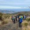
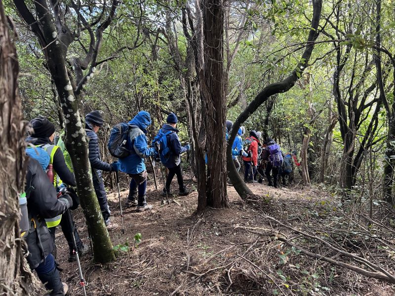
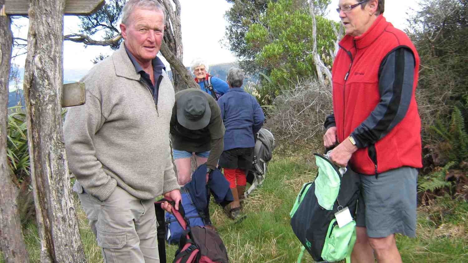
Twenty-two hardy trampers met at PJ park, and headed to Rollinson Road where we parked.
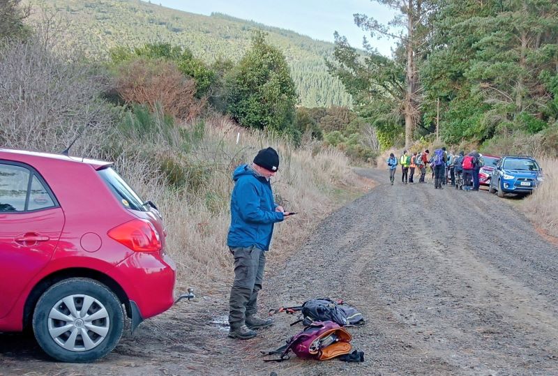
The temperature required us to be well rugged up with hats and gloves armed with poles and gaiters ready for the expected muddy patches on the tracks.
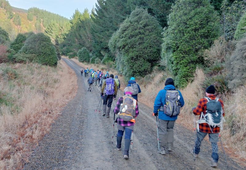
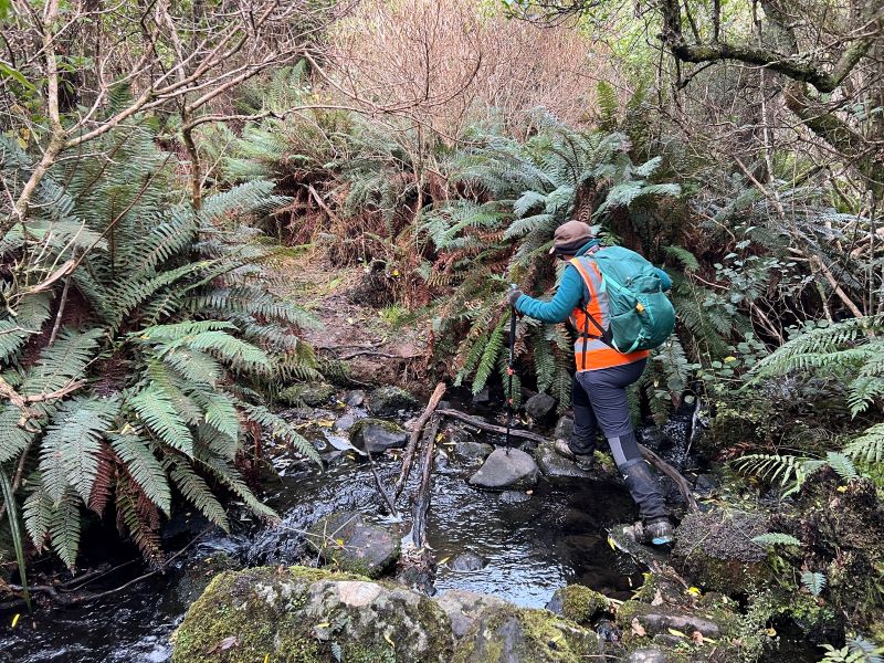
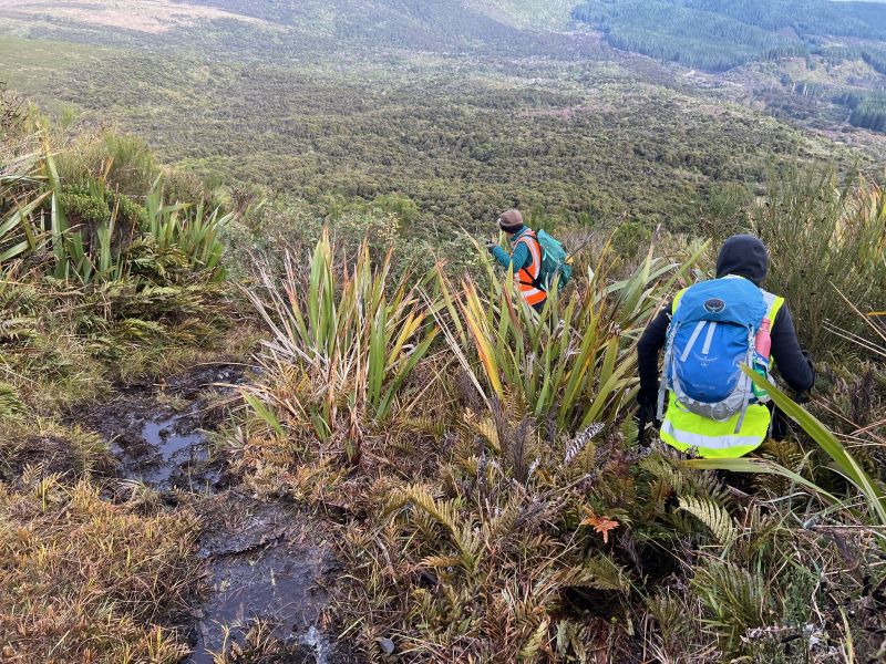
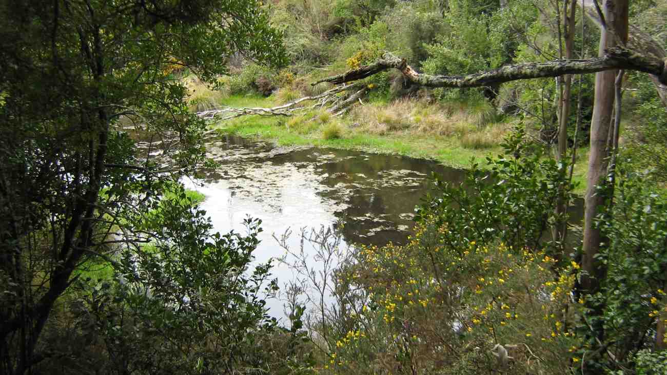
We headed down the road to enter the Smithy’s track which led us through beautiful native bush and stands of kanaka. The wind was making the trees creak and moan but they all remained standing. There were some gnarly areas requiring some hands for support but those and the crossing of streams was done with no major incidents. No-one fell in.
We stopped for morning tea at the beginning of the Possum Buster track, following which we headed up the track and made a right turn to head up McQuillans. The track was in great condition, having recently been cleared and the ground underfoot didn’t seem to give us any trouble. A rest at the top, we then did the “huffy, puffy” walk up Swampy ridge road to the Swine Spur track.
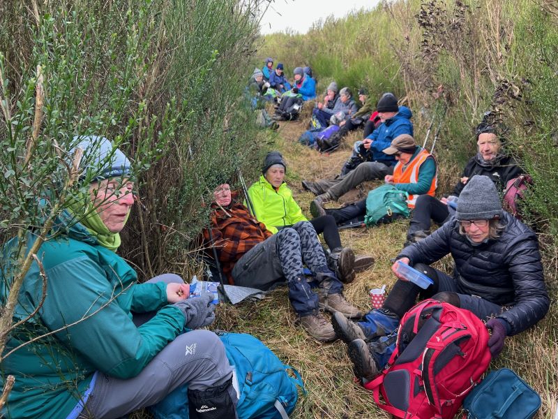
In need of refuelling, we had our lunch a wee way down the track sheltering from the rather chilly wind.
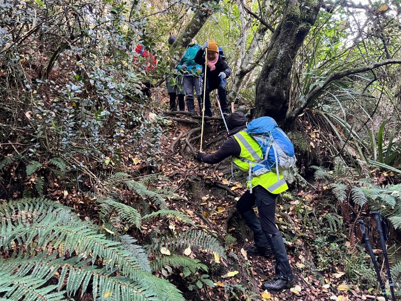
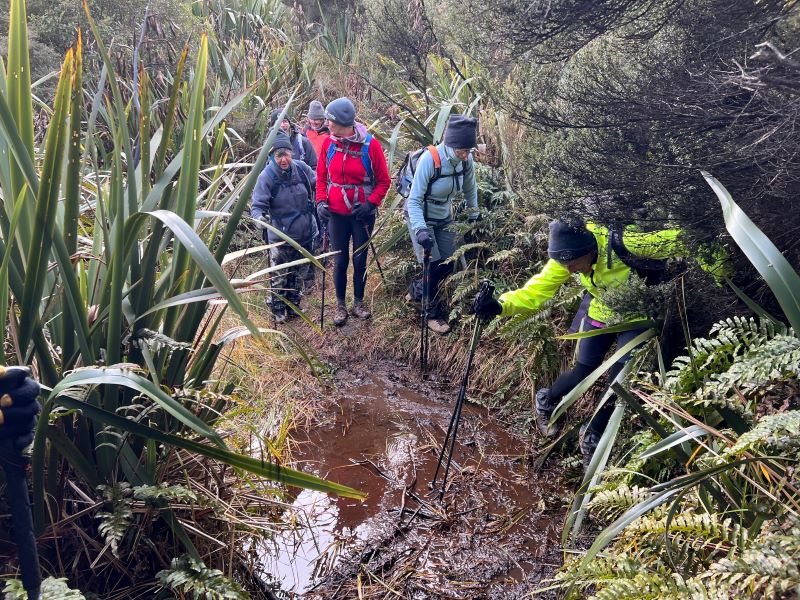
As people were feeling the cold we added more layers before descending the rather steep track down. A few large muddy areas had people on their toes but no-one fell over, as much as Pam was hoping for – poised with her camera!
We ended up down on Possum Busters and had a lovely walk back out to the cars.
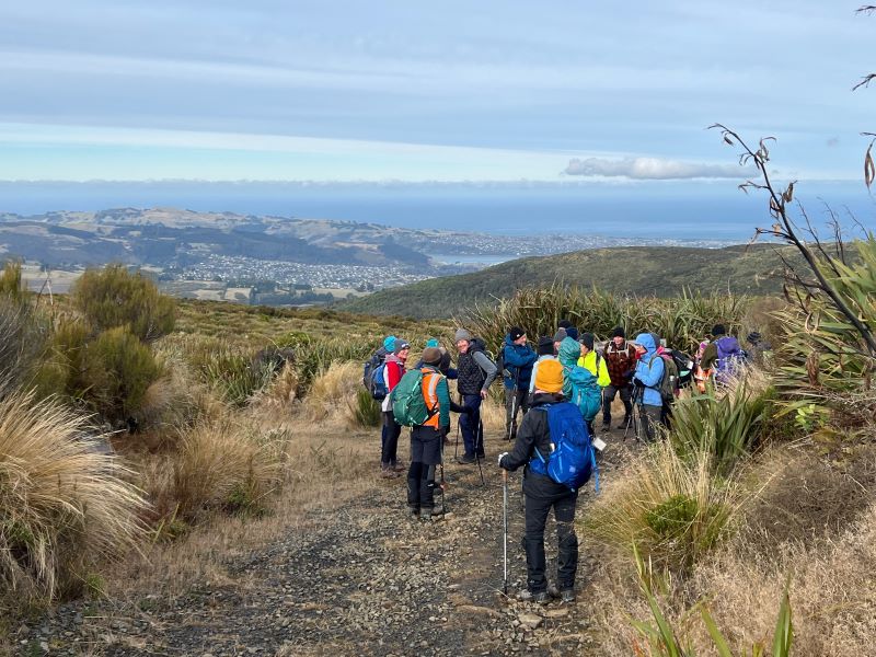
Poles and gaiters were definitely required! The rain stayed away and we did have lovely views from the tops but it was a bit chilly to stand admiring them for too long.
We all headed home forgoing afternoon tea as having a hot shower was on most people’s minds.
It was a great walk. Thank you, Esther.
Gail
4. 11/1/2017. McQuilkans/Swampy Circuit. M. Leader: Art.
High overcast and warm temperatures were ideal for our first tramp of 2017. The idea was to have an easy day’s tramp, so as to break everyone back in after the Christmas Break/indulgences.
Seven participated in the day’s adventures, which were just a little more demanding.
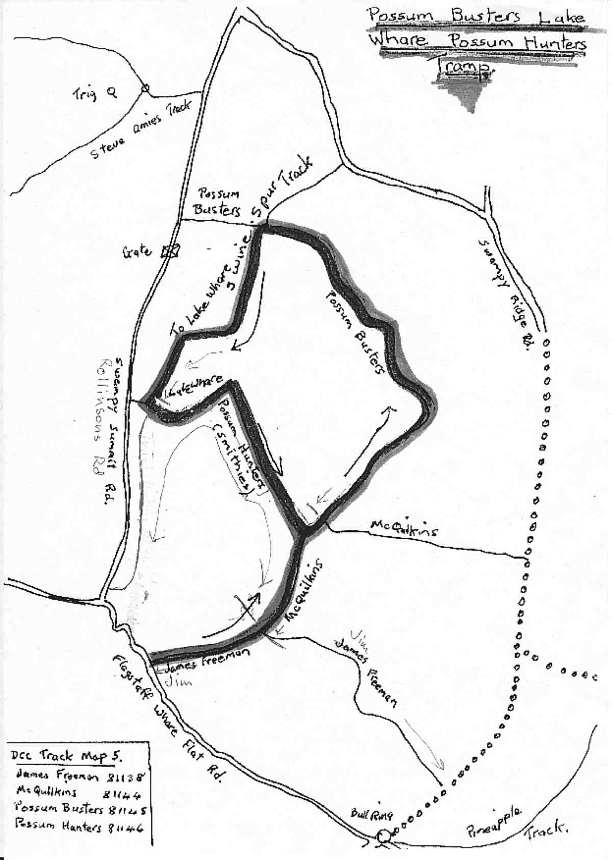
Leaving our cars on the side of the Flagstaff-Whare Flat Road we walked in the Jim Freeman and Possum Busters tracks before turning onto McQuilkans. We then found track clearing in progress – we had travelled on recently cleared tracks since leaving the cars. A very good job had been done, too.
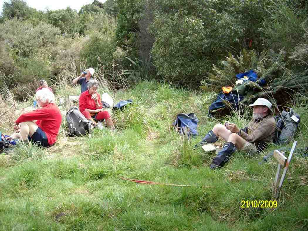
It was time for morning tea, so we stopped here, after talking the workman into joining us.
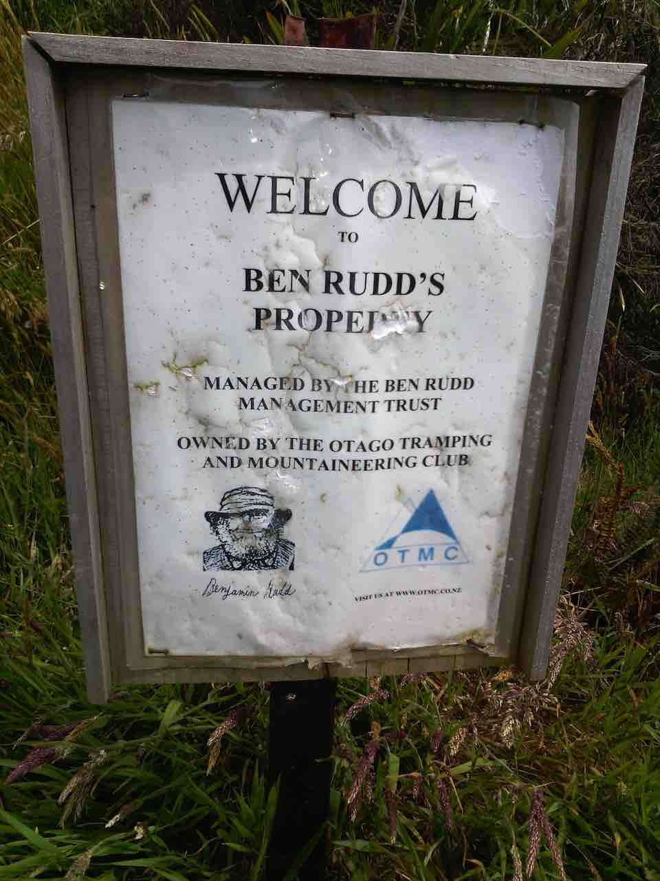
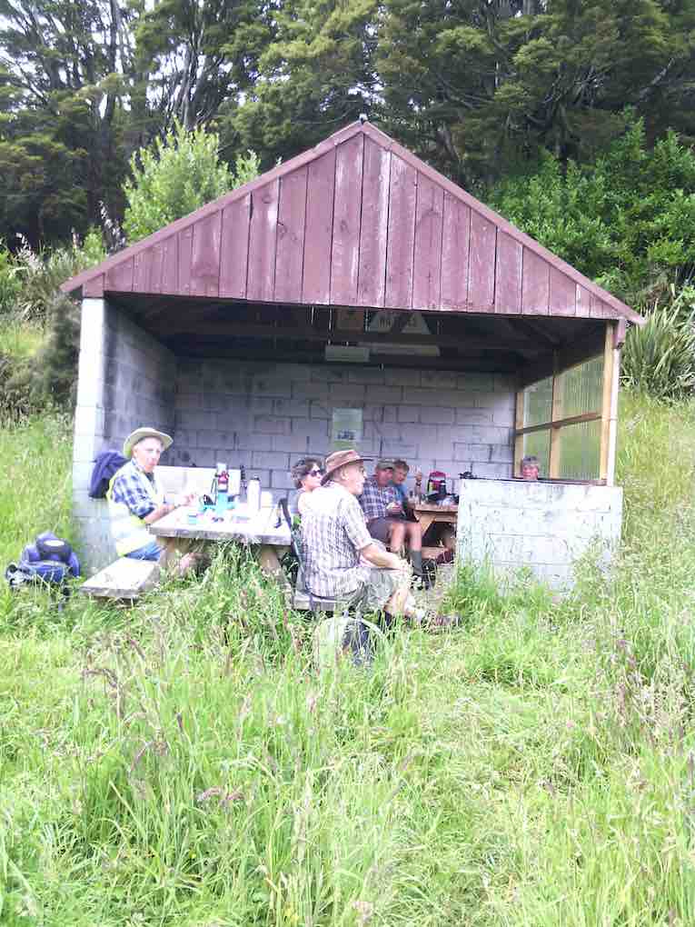
McQuilkans track took us uphill until we can to the Swampy Ridge track. Turning right we followed it, and then down to the Ben Rudd Shelter
for our lunch stop.

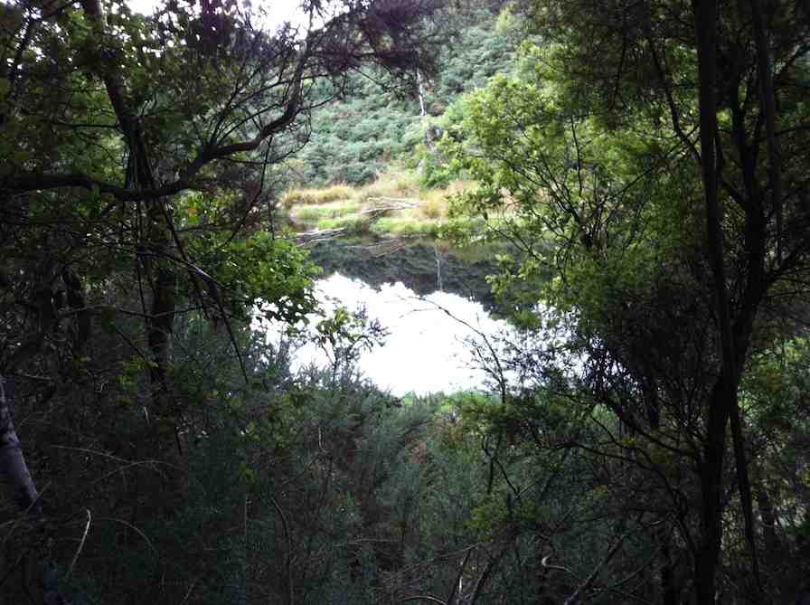
It was very peaceful and quiet there in the bush, we noted. The facilities were excellent,
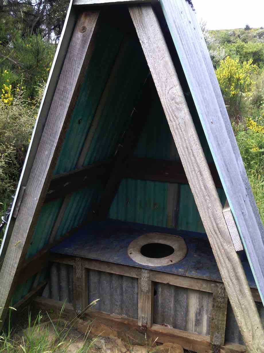
with picnic tables for our use.
We next travelled up the challenging track (not shown in Hamel’s book) from the Ben Rudd Shelter, past the Big Rock and emerging onto the Firebreak track. This unnamed track had many patches of large rocks to scramble over, needing extreme care as a broken leg was not wanted. The track had been cleared last summer, and showed signs of being well used, too.
On the Firebreak track we walked a short distance towards the Bullring before going down the Big Rock track. None of us had ever been on it before. It had also been cleared last summer, after a period of being completely overgrown.
The Big Rock provided a good viewing spot, but the track was also rather challenging. It soon resembled an obstacle course – lots of rocks and quite a steep descent. A very interesting track. After debate we decided that descending was perhaps better than ascending it?
Eventually we safely reached the road, and following it downhill found our cars.
We had travelled about 8 km, but because of the degree of difficulty, the energy expended was far more than this would suggest. Apparently all had enjoyed the day’s tramp, as I didn’t hear any complaints, which is a plus!
A recovery session was undertaken at Wals when we had returned to Mosgiel (the “Hairy Goat” was too far away!) – Art.
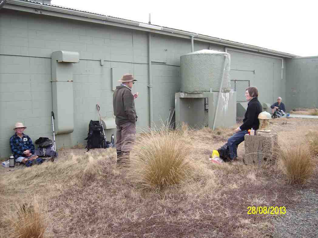
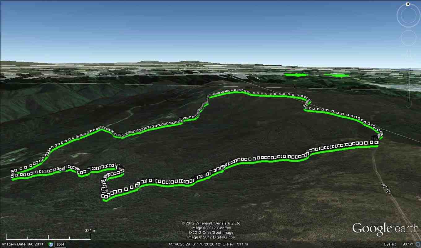
3. 28/8/2013. Trampers. Rollinson Road, Swine Spur, Swampy, McQuilkans, return Swampy, Rollinsons Road.
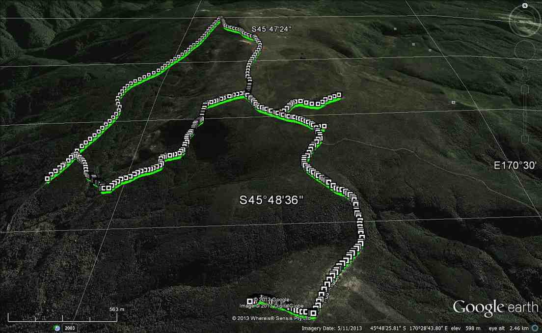
GPS of route., courtesy Ken. 13.9km; 3hrs 40min; 3.8km/h; total time 5.5 hrs; 730mtrs climbed.
Unsure of the condition of McQuilkins track, 5 trampers set out to tackle Swine Spur, Swampy Ridge, & McQuilkins. Swine Spur had been cleared, & presented no problems, apart from the tall steps on parts of the track, & short legs on some of the trampers ! We had morning tea, in the normal place at the cross roads on the track, then up to the top road, where Ken made a mistake, & pointed everybody in the wrong direction. He quickly realised his mistake, so no harm done. We then went around to the top of the Leith Saddle track to have an early lunch …
… & then back along Swampy Ridge to McQuilkins track, which didn’t look at all inviting from the top. However, we set off down the track, but it soon became obvious that there had been no clearing work done after the snow damage, & we quickly ran into problems in the bush.There was so much damage to the track, that it was almost impossible to see the ground trail through the fallen trees/scrub etc. We pressed on for about 300 mtrs. but decided that it was prudent to go back to the top, as the track was very hard to find, even with the help of the GPS, which Ken had pre-programmed with an earlier trip around the same circuit. We then had a conference on which was the best/quickest way back to the car, as the weather was starting to look threatening. It was decided that we go all the way back to the top of Swampy Ridge, & down Rollinsons Rd. back to the car, which was left at the locked gate. We got as far as ‘the elbow’ on Rollinsons Rd. & then it started to rain, so a wet walk back to the car.
All agreed it was a good walk, but a pity McQuilkins was in such poor condition. I guess ‘the Green Hut track group’ will in time get around to clearing it, but it will be a massive job. – Ken.
13.9km
3hrs 40min
3.8km/h
total time 5.5 hrs.
730mtrs climbed
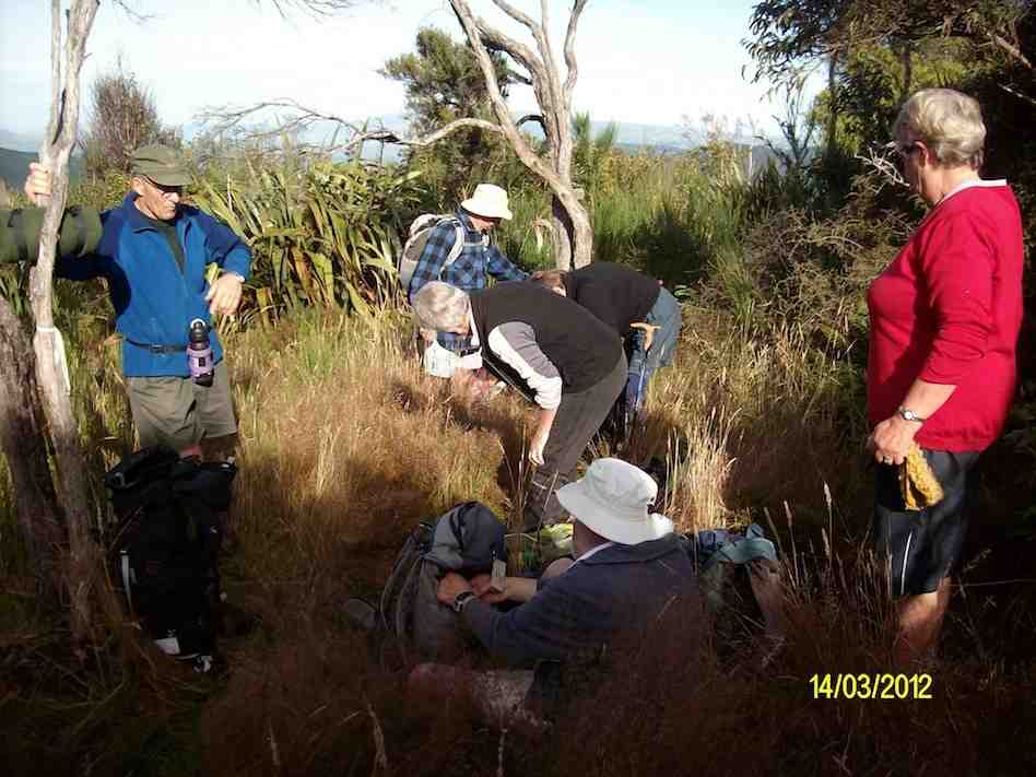
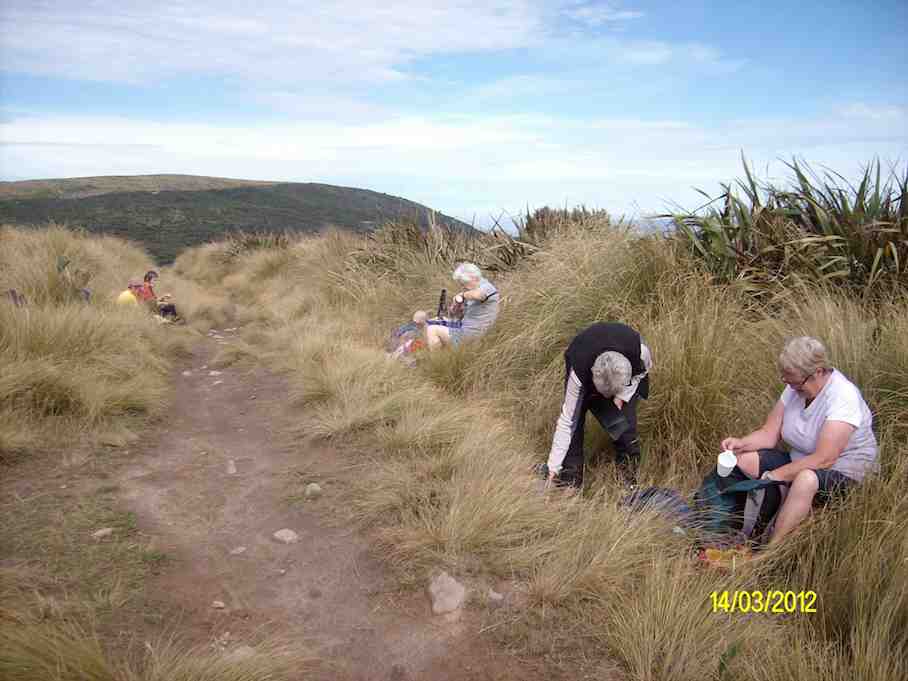
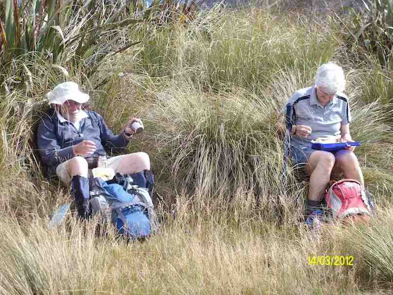
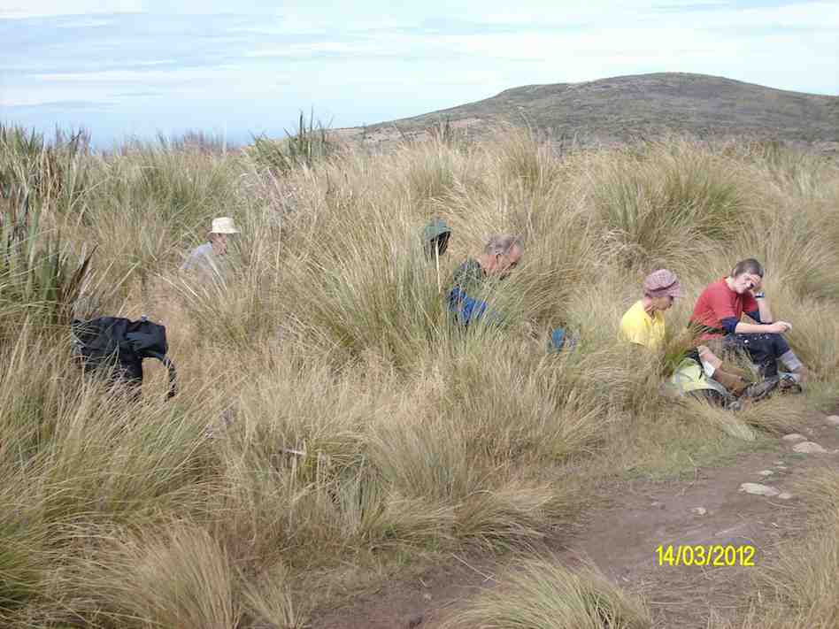
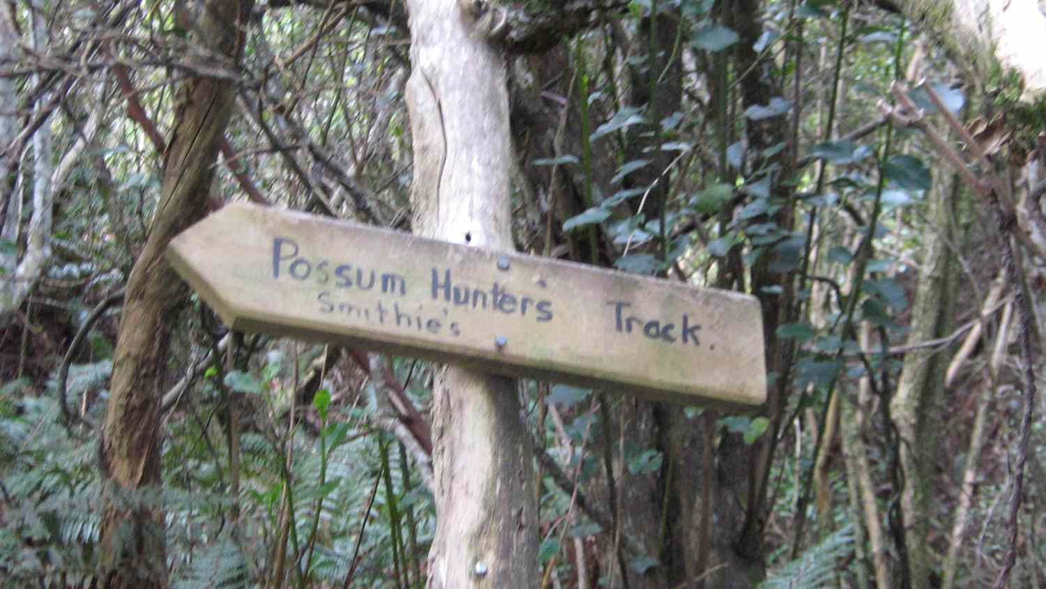
2. 14/3/2012. Trampers. Rollinson Road, Swine Spur, Swampy, McQuilkans, Smithies, (formerly called Possum Hunters).
1. 21/10/2009 Trampers. Swine Spur, Swampy Ridge, McQuilkans, out to Whare Flat Road Smithies. Leaders: Ria, Hazel.
Then it was up Swine Spur to the Swampy Ridge Track at a Civil Aviation building. Then south along Swampy Ridge and down McQuilkan to lunch at the (now) Smithie’s track junction. (Possum Hunters now officially dropped.)
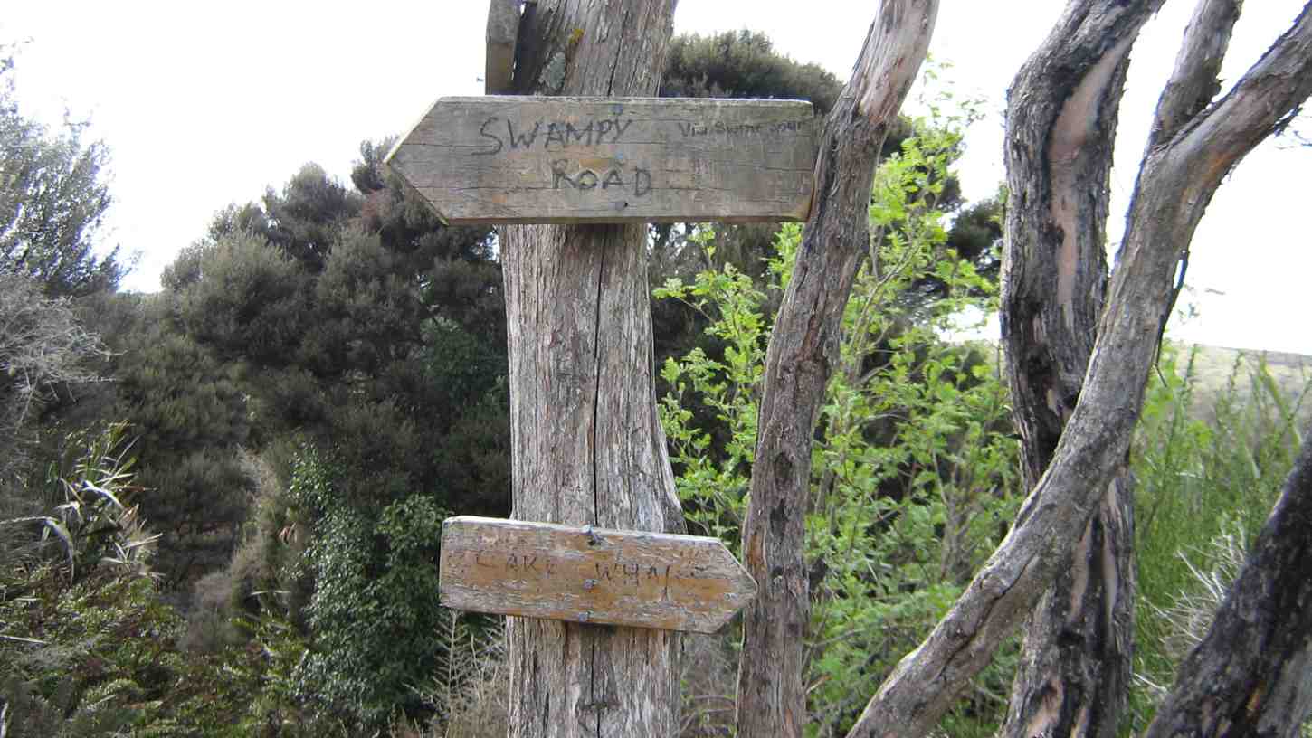
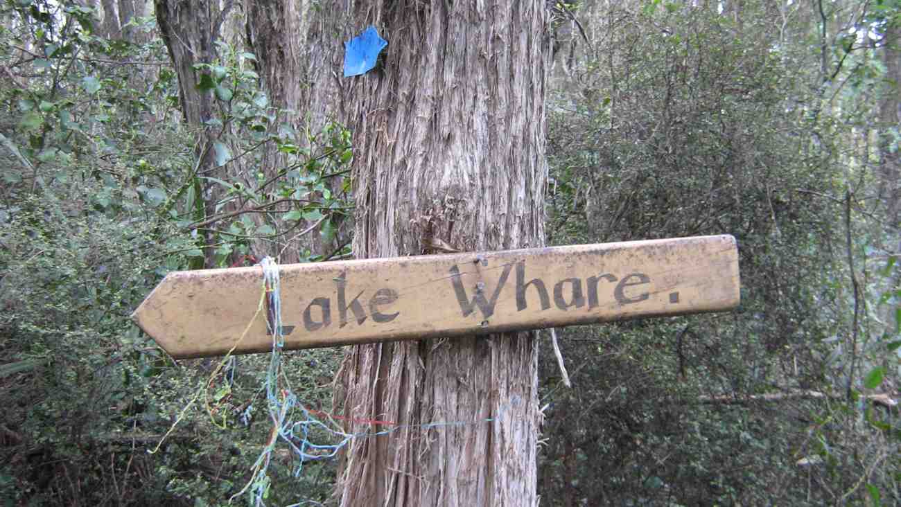
At this point Ria elected to take us out to the Whare Flat Road as she believed a clay bank on Smithie’s route to Lake Whare would have been too slippery after last night’s rain. At the foot of Rollinsons Road, we persuaded her to turn back from walking up the road and take the Smithie’s track adjacent to the turn off up through the bush to turned off at the Lake Whare sign and
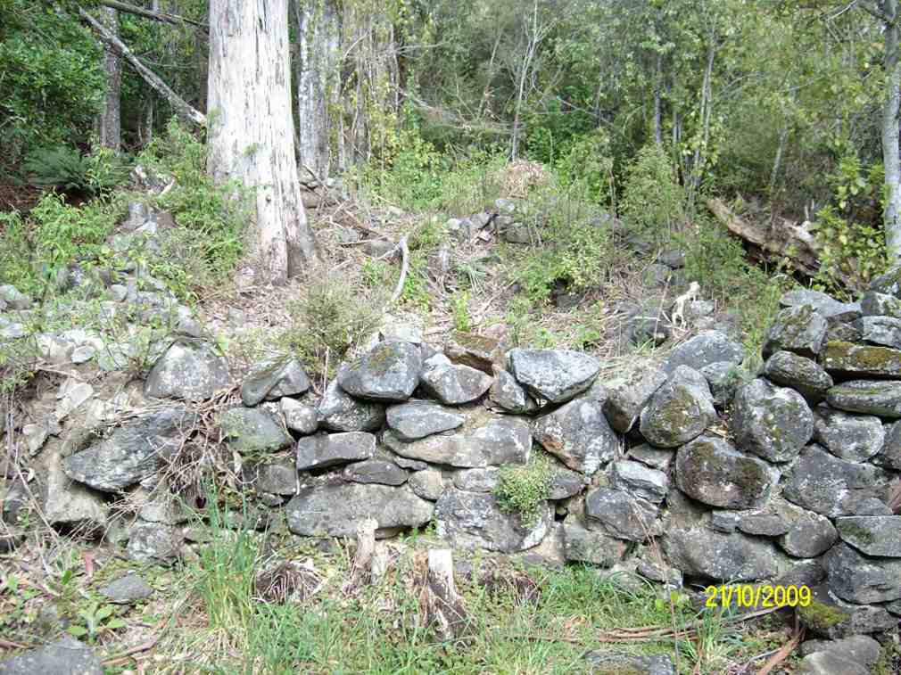
Then it was on a little bit, along Murcot’s Meander (sign now missing), across the old stone wall, and then left to cross the track-clearers’ lovingly-made sycamore bridge (the more substantial 2nd one, the first broken by motor bikers).

One thought on “Rollinsons Rd Locked gate, Swinespur, Swampy Ridge, McQuilkans, Smithies”