No. 94 on old hardcopy list of 113 club tramps. “Ross Creek – McGlashan College Year Round” 17 km from car park.
Ross Creek, Lower Leith Valley, Wakari Rd Bike Park, McGouns, Pineapple and Davies Tracks – Information and Trips Library
34. 15/05/2024 Ross Creek/ McGouns Track Grade: 2.5 Leaders: Pam and Jay
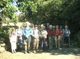
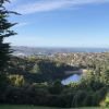 On a fabulous autumn Day 25 keen walkers parked in Booth Road which is at the bottom of the Pineapple Track.
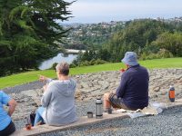
We crossed over the road to Tanner Road where we started our day climbing up the Craigieburn Track to the top where we had morning tea at the historic milking shed/cow byre which was in operation in the late 1880’s. The views over Dunedin from there were extensive.
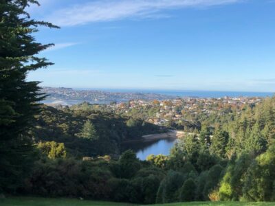
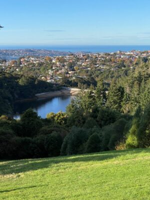
We then carried on a loop walk which took us down some rather steep steps and then on to Wakari Road where we crossed over to the Ross Creek bike / walking track. This was a gentle climb through lovely bush to the top where we came back out on to Wakari Road where the bikers usually start their ride.
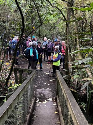
After a five-minute stop we carried on through the track which was a very pleasant walk listening to the native bird song. There are many offshoots on this track but Pam assured me that I have to keep turning LEFT at all times and then I won’t get bushwacked.
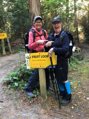
Believe me it has happened before!! We made our way then on to the McGouns track which was a moderate climb with boardwalks and bridges and more birdsong and native bush.
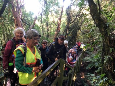
We then stopped for lunch where we used to get views over Dunedin but the trees have grown. After lunch we returned to our cars via the Pineapple Track. 7ks all up and it was a good workout. Coffee was at the village green.
33. 21/09/2022. Ross Creek. Hikers Grade 3 Leaders: Pam Clough and Jay Devlin.
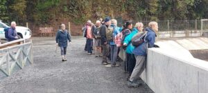
24 Hikers and trampers parked in Rockside Road close to the Leith Valley Holiday Park. The day was pleasantly fine with no wind. We started our Ross Creek walk on Rockside road which took us on to a lovely meandering bushy track. We came out opposite Woodhaugh Gardens where we stopped for morning tea.
After that we left the Gardens and crossed the road over to the Queens St Track which gave us lovely views over Dunedin and the Stadium. We crossed over Warrender St and kept on Queens Drive. We then turned right into Cosy Dell Road, which is very narrow, so care was taken. We headed on to Cannington Road and did a loop through Brayside Cres and Cairnhill St where we were treated to fabulous gardens with spring flowers and beautiful magnolia trees not to mention the lovely homes.
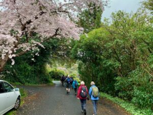
We then ended up at John McGlashan College where we had a leisurely lunch break.

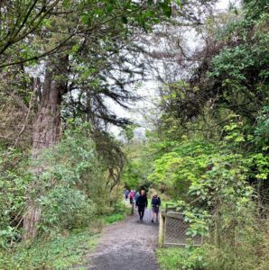
After lunch we then went on to the Ross Creek track where we had to negotiate some very steep steps and a small creek crossing where luckily no one fell in. This track is most attractive with lovely bush, creek and birdlife.
Back to the cars. Coffee at Sunnyvale.
32. 20/07/2022. Ross Creek Leaders: Phil and Helen Morris
Wakari Bike car park/Polwarth, Burma Roads Ross Creek/Leith Valley/ Rockside, Tanner
Road/McGouns, Pineapple/ Wakari cycle track 10km amblers.
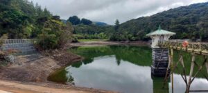
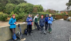
In a misty start we left Peter Johnstone Park and arrived at the Wakari bike car park at 9.50am. 8 trampers headed off down Polwarth Road, taking in some new houses in Redwood Lane. We then turned right into Burma track and then left into the track to the reservoir. As we had some hills in the tramp refuelling at the reservoir was required (morning tea).
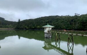
Cloudy but dry we returned to Burma Road down the hill and over the bridge we headed left down to School Creek track. Three quarters of the way down from the reservoir we took in a fantastic waterfall.
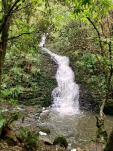
We then headed right up Zig Zag track to Cannington Road (some a little breathless). Across the road onto Golf Course then Podocarp tracks we walked back to the reservoir past our morning tea spot. We then headed out onto Rockside Road for orientation. We continued to Tanner Road then left across the road and up some paths taking us past some nice homes hidden from the road.
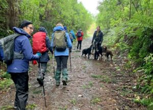
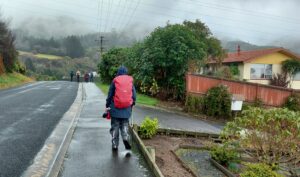
We got to the entrance of the Pineapple track (now around an hour forty-five minutes into our tramp) so we had time to do the McGoun’s track – taking the left entrance up to McGoun’s Creek. A good workout, the track joined the Pineapple track and we turned back down the hill to our lunch spot at the water tower.
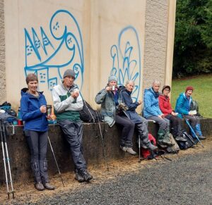
With a light sprinkling of drizzle at the end of lunch we continued down the Pineapple track and then turned into the McGoun’s extension. Then a 20-minute tour of the Wakari bike tracks and then WALLA we came out at the cars. A good walk in a sheltered area as a replacement for the Pipeline, Burns, Rustlers tramp that was cancelled. Thanks Arthur and Helen for helping me do a recce of the cancelled tramp.
Writer Phil Morris
Stats say 9.95km 315 elevation 2hrs 30mins actual walking time
References for tracks:-
Dunedin walks Dept of Conservation, and Dunedin Amenities Society.
October 6: Ross Creek Tramp (replacing Glenfalloch & Beyond)
31. 06/10/2021. Ross Creek Leaders: Ross Davies, John Gardiner and Pam Cocks
While Mosgiel was in sunshine, the Otago Peninsula was covered in mist with a strong north-easterly. 16 eager trampers sat in cars up in the thick mist on Highcliff Road debating their next move. The planned ‘Glenfalloch and Beyond ‘ tramp was quickly abandoned and a decision was made to go to Ross Creek. (A big thank you to Ross and John for taking charge and leading us!) By 10:15hrs we were parked up on Rockside Road and heading into Ross Creek where conditions were much more pleasant.
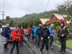
After about 15 mins walking up the main track, we crossed over Ross Creek onto a narrower track which took us to a waterfall, 20m in height (This must be one of Dunedin’s best kept secrets!). This waterfall was created when the ‘Waters of Ross Creek’ were diverted during construction of the Reservoir.
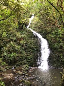
Further on we made a diversion into the Otago Golf Course to view a pully which is used to assist the golfers and their carts up this steep bank. Back down on the track we had a stand-up morning tea and some of Jenni’s yummy baking!
Carrying on through native bush for 30 minutes we came out into the open just below the dam to a view of the Star Constellations on the dam face. There are 77 steel coated stars across the dam face representing the Southern Constellations found in the sky above the city. They were installed in 2020 after the strengthening and when the dam face was rebuilt (2017 – 2019).
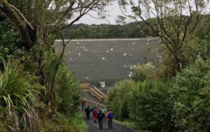
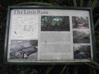
Onward and upward on a short steep shingle path to the dam’s top. We continued clockwise passing the smaller dam and into the bush again, passing by what they call ‘The Grotto” and onto Craigieburn track. This was a steep track up boxed steps through Rimu trees to arrive near the top at ‘The Little Ruin’, which is associated with the arrival of The Rankins in the late 1860’s. It was used as a farm shed for storage and was built relatively quickly by novices.
Carrying on we turned into “Tanners View’ overlooking the Northern end of the Leith Valley. A short walk took us to a stone fence, climbing over and into an open grassed area which was part of the Craigieburn Farm and was purchased by the DCC with the Amenities Society in 1949. The remains of the Byre complex were probably started in the late 1880’s consisting of a narrow milking shed and larger stables for horses.
We moved on quickly from here due to the drizzle and cold wind but not before John had a childhood flashback enjoying a swing from a rope hanging from the macrocarpa tree!
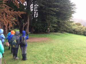
From here we walked down Tanner Road to the start of the Pineapple Track and after walking 30 mins up to the Water Treatment Plant and just through the style we stopped for a quick lunch under the dripping trees!
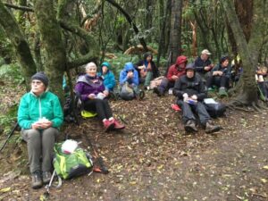
Onwards and upwards again to McGouns Creek Track through its pretty native bush, ferns and board walks with views of the Redwood Forest. This loop track brought us back to the start of the Pineapple Track. We then crossed back into Craigieburn Track, which took us above the Reservoir and then across the top of the dam and down to a big “star” for a group photo.
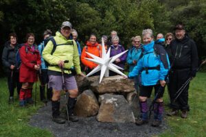
It was a gentle downhill walk back on the starting track. We took a right turn near the bottom of the track over the foot bridge passing an old concrete ammunition store and further on past the disused Woodhaugh Quarry.
We continued on crossing over another foot bridge which brought us out to the Motor Association camp and back up to our cars at 2.15pm, after an enjoyable tramp of 11kms of historic and more recent interest.
Coffee, cake and continuous chatter was then enjoyed at Nichols Cafe 😀
30. 19/2/2020. Hikers. Ross Creek. Leaders Barbara and Noi

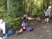
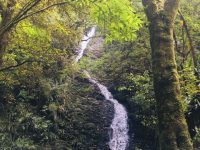
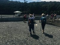
29. 22/1/2020. Hikers. Ross Creek. Leader Clive
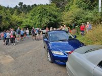
28. 20/3/2019. Hikers. Ross Creek. Waterfall. Leaders: Pam and Jill.
Last Wednesday 27 eager hikers left Mosgiel to go to the Woodhaugh Gardens in Dunedin. All day there was low cloud but temperature wise quite warm.
We had morning tea in the gardens before walking up the nearby Bullock track to Maori Hill. The 3 Ramblers set their own pace and followed us up.
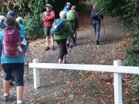
From the top of the track we meandered through the northern part of the Town Belt and through some of the city rise student accomodation areas. It was rubbish collection day and as usual student pranks were evident with bins having been tipped over or the glass bin contents broken. Quite messy sights to behold.
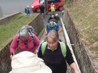
Above the Town belt we ventured into the residential area of Maori Hill to the playing fields of John Mcglashan College for our lunch break.
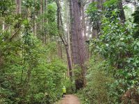
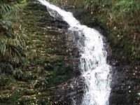
An early lunch and off into the bush and the Ross creek trails. Parts of the track had been washed out so care was needed especially around the waterfall area. The waterfall was spilling beautifully down the rock wall in a horsetail formation.
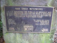
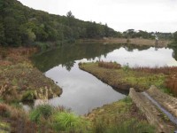
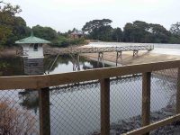
The tracks overall were in good condition easy to navigate. The Ross Creek reservoir is the oldest artificial lake in N Z and the oldest water supply reservoir still in use today .Created in 1860 to provide water for the cit. Length 350 m
Width 80m
Depth 30 m
Volume 162000
The Valve Tower is a N Z historic places trust catergory 1 feature.
Throughout our walk there was plenty of birdsong which was so refreshing.
The last leg of our walk was past the newly reinforced reservoir and down to the Woodhaugh area again.
Total of 10 kms through beautiful areas within the city bounds how lucky we are to have these easily accessible areas so close to home.
Back over the hill for the coffee fix at Blend in Mosgiel.
Jill and Pam
27. 7/11/208. Both. Hikers: Craigieburn and McGoun. Trampers: Craigieburn, Davies and Pineapple. Leaders: Pam, Dawn and Art.

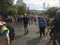
Trampers’ Report: The Hike leaders for the combined club day suggested that the Trampers could extend their walk, which we did.
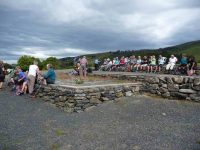
Leaving the Hikers after the morning tea stop at Craigieburn, 12 Trampers look the shortest route to McGouns Road and on to find the bottom of Davies Track.
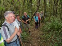
It was rather warm and humid as we climbed up through the second-growth bush, on the lower part of the track. The juice flowed very freely!
However, on reaching the older native bush the temperature dropped considerably, allowing all to enjoy this part of the track.
Above the bush line we emerged into the flax and tussock – the pigs had been busy up here. Davies Track is well maintained, other than the topmost part in the tussock where small gorse bushes will need to be dealt with at some time.
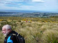
It had been an enjoyable (?) climb, but all were very glad to reach the top and emerge onto the Pineapple Track. Five minutes took us down to the junction with the track to Swampy Ridge, where we had our lunch.
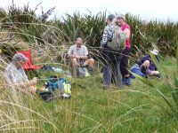
By the time the lunch half hour was over the wind was picking up, and the sky darkening. But it was downhill all the way now on the Pineapple Track and we made good time.
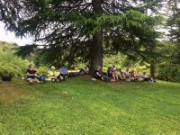
After a while it came on to rain lightly, …
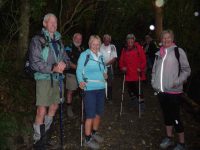
… but had stopped by the time we reached the bottom of the track.
A group of hikers was seen just in front, but they didn’t wait, disappearing down Tanner Road somewhere.
The Trampers returned to their cars via Craigieburn and the bush tracks to record a useful day’s work of about 10 km. – Art.
26. 24/10/2018. Hikers.Ross Creek Trails. E. Leaders: Clive and Doug.
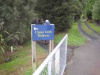
26 Hikers set off from Malvern Street bridge along the Upper Leith walk. Many had done this walk before and were not sure what to expect.

Firstly we had to cross School Creek as the track to the dam face was closed. Jumping across the stepping stones was tricky but no one took a spill. That was exhausting so we settled down for morning tea on the other side. We then continued up the stream to Burma Road. Lots of vehicles parked here for repairs to the dam. Arriving at the side of the dam we could see the water level was very low. (It had been hoped to refill the dam by the end of October.)
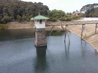
We continued up Burma Road to Wakari Road and then right to the junction of Tanner Road where we entered the track system again. It was a hot day reportedly 25 degrees, but under the canopy of trees and bush it was very pleasant. We looked at old stone remnants of building past and scaled the heights to the old byre.
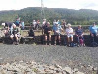
Bit of a rest here after that climb saw some breaking out the sandwiches, but a bit early for lunch. Downhill to the other side of the dam in time to sit down for lunch, if you could find a comfortable spot!

After lunch we made a loop of the dam, as the face was closed, arriving at a point on Burma Road we had been at earlier. Some opted for the down hill section back to the stream crossing. Those with a bit left in the tank headed uphill to Cannington Road before dropping down a steep slope to the creek. Total distance 9.1k.
All arrived back at the cars safely and then it was off to Croc-o-dile cafe in the Botanical Garden for afternoon tea. – Clive & Doug
25. 25/10/2017. Hikers. Ross Creek, Craigieburn, Cycle tracks, McGouns, Ross Creek. M. Leaders: Dawn and Pam.
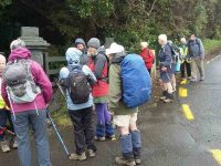
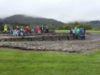
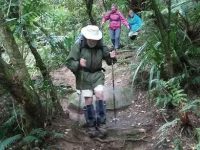

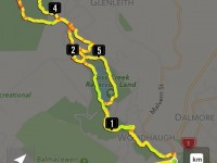
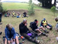
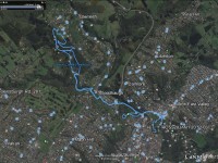
Twenty-two hikers departed at 9.30 am from the Gardens’ Carpark opposite Mecure/Leisure Lodge on a sunny calm day, in contrast to the previous drizzly afternoon. We turned to the left in the Gardens and followed the north perimeter with the themed borders to the main gate, crossed at the traffic lights to the north side of Bank Street and walked around to the Woodhaugh Gardens, past the mural of the Otago University Clocktower building with a portrait of the architect Maxwell Bury (1825–1912), painted under the Pine Hill Road bridge.

We kept to the left in the Woodhaugh Gardens circumnavigating the duck pond by proceeding along a bush track and stopped at 10. 00 am for morning tea near the paddling pool.
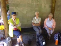
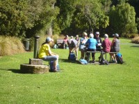
We then followed the path near the right bank of the Leith to Malvern Street, crossing at the bridge and turning left opposite the building that was originally the Woodhaugh Hotel into Woodhaugh Street. We followed the track on the left on the left bank of the Leith Stream and passed an excavator at work clearing the boulder trap built in 1963. We ambled along the track up the valley past the New Zealand Motor Caravan Association’s property before crossing the foot bridge and continuing to the site of the disused Woodhaugh Quarry and the explosives store. Our path continued up the valley and along the true right side of the Ross Creek reservoir (facing down the valley) after which we crossed the bridge over Ross Creek and after proceeding about 300 m down the true left side of the reservoir took the track uphill on the left. Where this branched after another 100 m or so we turned to a relatively new and level track to the left which later passed close to some rimu trees before swinging right and coming out on the grassed area below the Craigieburn cow byre. After passing the byre and the left hand end of the stone wall further ahead we stopped at Tanner View at 11.40 am for lunch. After lunch we turned to the right on the track and then, at a sign, to the left passed the cobbled road to the little ruin.
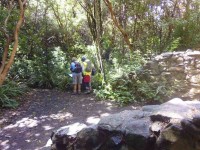
From the ruin we took the track to the rimu forest eventually emerging at the bridge at the top of the Ross Creek reservoir that we had crossed earlier. We made our way down the left hand side of the reservoir and then followed our earlier route back to the gardens,
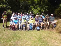
reaching Crocodile at 2.10 pm where many stopped for refreshments.
– Bruce and Marjorie
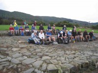
…for lunch.
After lunch it was simply back out and down through the Ross Creek environs to the cars.
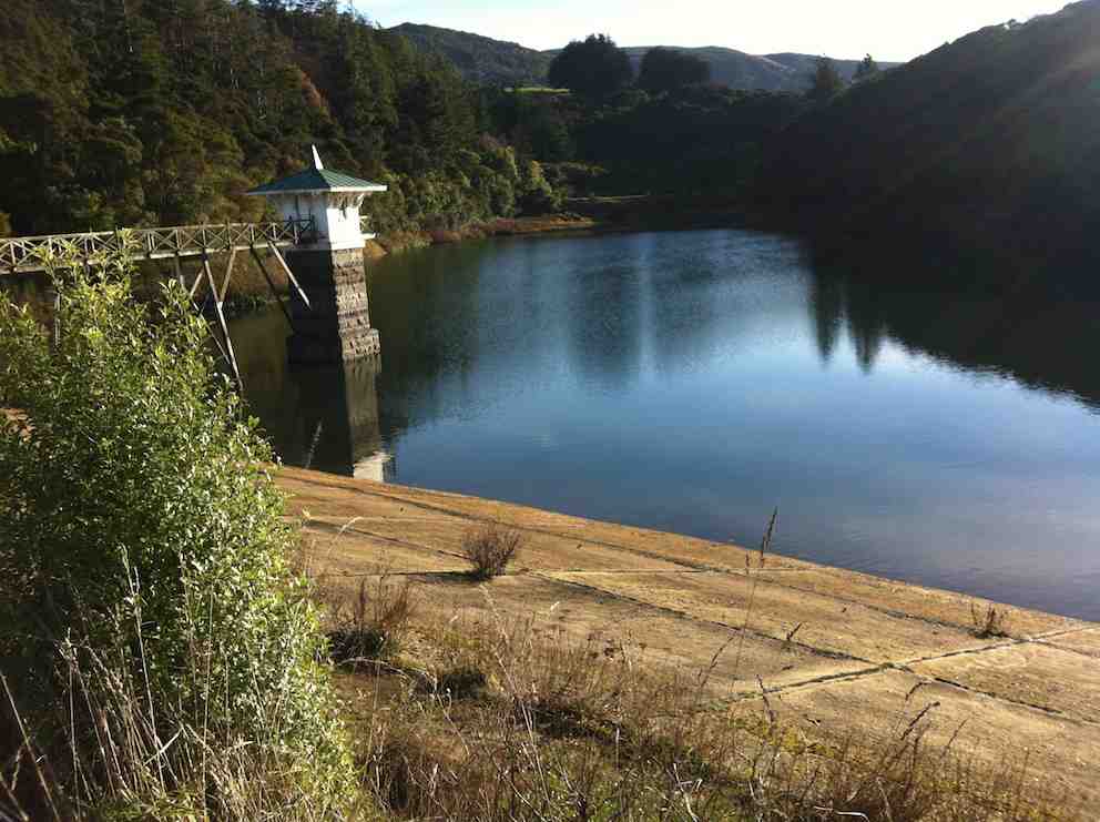
Of course, because of the cracks that have been detected in the earth dam.
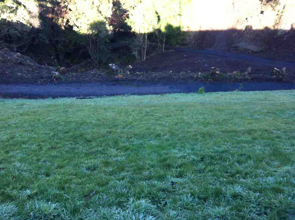
We crossed the dam, turned left and down to walk past the cleared bush site …

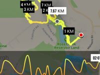
and on down to reach the junction of Rockside Road at its bottom and Malvern street. (2km mark on map)
Then it was to walk leisurely up Malvern Street, stopping for Lex to point out various interests on the way. What surprised ss was a string of tall posts diagonally across the Leith above the first set of houses we passed. We thought it might be to trap flood debris.
Just further up Lex pointed out a weir, immediately below which he used to swim in when a small boy. Ian and Lex talked about the Clark family house that used to be across the locked pedestrian bridge overlooking the weir.
Then it was yet further up to the old Jacksons’ beautiful stone house when Ian recalled, (as a boy in company with others) stealing cream out of a jar left to cool in the clear cooling water of a ditch, replacing what was removed with water. Just a bit further up, at the foot of Fulton Rd was the house of the late artist Eana B Jeans with only the gate of Ian’s old home showing a sort distance up Fulton Road. On up, to turn from Malvern Street up to the left onto Islay Street, (Beyond 4km mark on map) upon which, in a sunny spot, we stopped for lunch, just above the road connecting across to Fulton Road. Ian and Lex recalled calling the three roads the steepy (Fulton), the toppy (Islay) and the greeny (the connecting less-used road, now (surprisingly, or maybe not so surprisingly) closed.

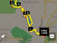
At the top, opposite Lex’s childhood house we went over to the former plantation road (nr 5km mark on map) that led to the start of the McGoun Track and stopped to view the stone cairn 1996 Tannock memorial. Further on and up until we reached the top of the (comparatively) recent set of mountain bike tracks (2/3 of way to the 6km mark). These we took, zig-zagging down to reach the large car-park at the end of Wakari Road. (7m mark) It was here that one or two of our party of 17 elected to take a short cut down to the cars while Lex took the rest of us along Wakari Road, past the end of Polewarth Road to turn down Joshua Place (a bit before the 8km mark) and from the along to a track that led us back to Polewarth Road. This we turned down heading for Burma Road at its other end, until called back by some at the rear who had noticed a dog worrying a flock of sheep in a paddock. We cell-phoned the DCC to inform them of such, along with the dog’s registered number. – Good deed for the day. Then on down Polewarth Rd to join the Burma Rd (abt 9km mark) and along it back to the cars. Thanks to Lex and Fred for yet a further novel changed route – and the chocs! – Ian.
20. 24/10/2012. Hikers, Ross Creek. Leaders: Lance and Lois.
19. 30/5/2012. Hikers. Wakari Road. Cycle Tracks etc. Ross Creek. Leaders: Lex, Jill.
As we’ve come to expect, Wed. was fine and 15 happy hikers parked by the Meter House, near the corner of Wakari & Burma Rds, ready to set off on the Ross Creek area and tracks.
Lex was our leader, and as he lived in that region from childhood he is very knowledgeable about the territory, which makes a popular walk even more interesting. We did various tracks through the lovely bush, stopping every now and then for Lex to tell us about some trees that had been planted and trialled, or other things of interest about that part. It was lovely to hear so many birds whistling and singing cheerily all round us. So often these days one is very disappointed at the lack of birdsong in a region where once you would have heard them. We arrived at Prospect Park
via bush and road and relaxed and soaked up the sun while enjoying our lunch. Then it was off down the Bullock Track to the lovely little trail along the Leith Stream through the old Woodhaugh Quarry area. From there it was back up one of the bush tracks to the cars. A lovely pleasant day out, as usual. – Bev Harvey
15. 26/3/2008 Leaders: Lex, Jean A
14. 14/11/2007 Trampers. Woodhaugh, Ross Creek, Davies, Flagstaff Track, Pineapple, Ross Creek return.
9. 2/10/2002. Combined. Ross Creek, Burma Road. Easy. Leaders: Lex, Doug M, Evelyn C.

