Broad Bay Future Forest – background information.
Trampers park cars at Broad Bay. DCC Public Land; Hikers park at top of Bacon Street.
 20. 20/03/2024. Hikers. Broad Bay Future Forest (New Hike), Grade 2.5. 30 km. Leaders: Jenny Flack, Vivienne Manning.
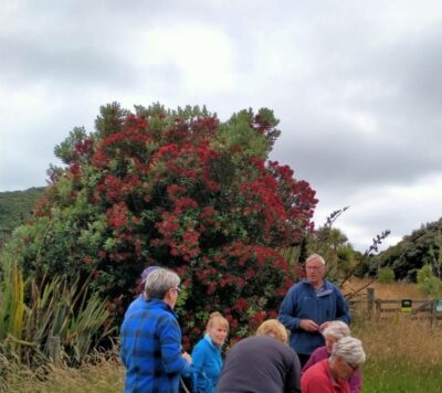
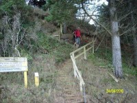
Twenty hikers gathered at the end of Bacon St for this new walk. We were joined by Broad Bay locals, Vic & Tessa Mills.
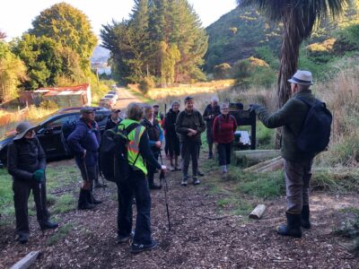
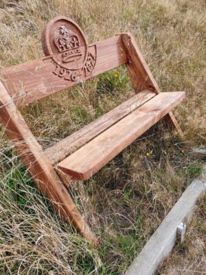
Both Vic & Tessa have been long-time volunteers at the Future Forest; planting, releasing and donating trees. Vic more recently has used his woodworking skills to create some beautiful signage & personalized seats which are dotted around the tracks.
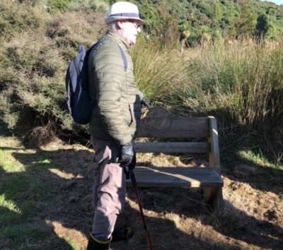
Vic explained that some are memorial seats, some are for special volunteers & some are for special occasions/birthdays. They add character & interest to the tracks.
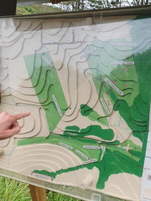
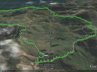
We stopped while Vic showed us the 3D contour map, he had made of the tracks with the 2 routes we would be walking, the pink dots representing seat locations.
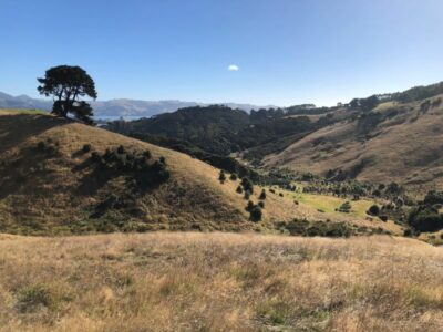
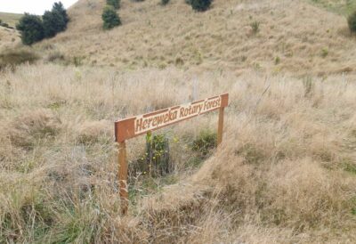
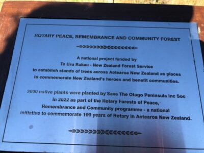
Loop 1 on the left took us through the community orchard (yes we did leave some apples for TALL people ) past the Citizenship slope through the gate up to the Hereweka Rotary Forest & then up to the Elizabeth Regina slope & seat & even higher to catch the views towards Port Chalmers & Taiaroa Head.
Returned down the same track but then from the Rotary Forest we took the other side of the creek & over the stile back to the orchard.
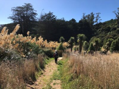
Loop 2 – the Future Forest Track was anticlockwise over the fantail boardwalk up to the Upper Podocarp Ridge for further fantastic views & lunch dotted in the long grass cos it was a bit windy. Returning down past the Macrocarpa Ridge & Coprosma Slope once again to the orchard. From the orchard we headed back to the cars through the ever so slightly longer bushy beginning of the Bacon track.
Coffee & icecreams were enjoyed in the sunshine of Macandrew Bay at the Duck Cafe.
Thanks everyone who came along on the day for their positive comments, to Vic & Tessa Mills for helping to tell the Future Forest Story, and to my tail end Charlie Vivienne for ensuring we all got back down the hill.
Jenny
See Broad Bay Future Forest – background information for more information on the Future Forest and STOP (Save the Otago Peninsula) and a “discussion” with Lala Frazer (one of the driving forces behind STOP).
 19. 17/01/2024 Trampers. Herewaka, Hoopers Inlet, Nyhon Track and Harbour Cone Tramp. Leaders Anne Ward, Di Bezett, Lyn Keene
We had 24 lovely people coming on the Tramp today was a great turnout for 1st tramp of the year.
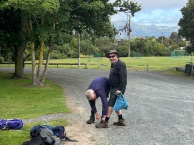
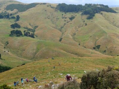
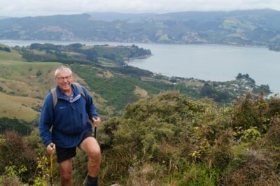
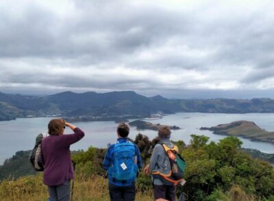
Leaving the vehicle’s the sun was shinning by the time we got to the Nyhon Track there was mist over Harbour Cone not looking promising for the view and thinking rain was going to set in, but no was the perfect day for Tramping not being to hot going up the hills, and the mist cleared.
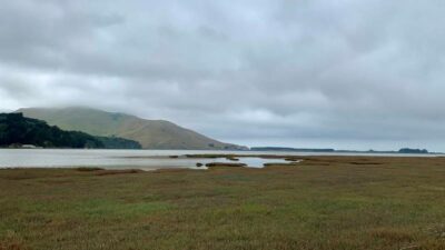
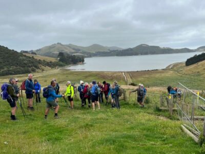
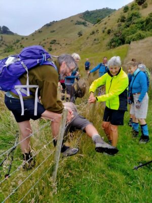
Rutherford Native Reserve was a bit of a grunt and the grass had grown a lot from our last Recce was a bit like that song “we are going on a bear hunt “(the grass goes swish swish swish) but we all made it to our lunch stop by the old stone wall and views were spectacular.
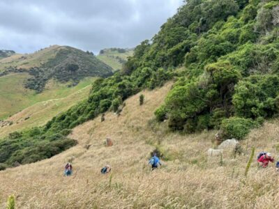
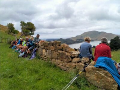
Don’t think anyone wanted to move from that spot was just the thought of climbing up Harbour Cone, but was all achievable and from the feed back everyone had an enjoyable day.


Finishing with a coffee, ice cream at the cafe which was open.
Thanks for the great company and the imput from people on the way & helping each other look forward to next weeks tramp.
Distance. 10.73km
Elevation gain 439m
Moving time 2:45:30
Cheers
Di , Anne , Lyn & Chris
18. 30/03/2022. Trampers. Harbour Cone Tramp. Leaders Margreet Simpson and Marijke Schofield
In 2008 the DCC purchased a 328 ha farm that included the summit of Harbour Cone and the summit of Peggy’s Hill. This was done primarily to protect the landscape and stop the property being divided up into life style blocks. We can be grateful that this happened as this track is very scenic with amazing vistas.
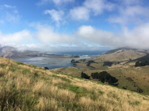
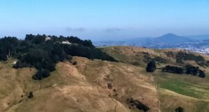
Our group of 22 Trampers parked at the Broad Bay Yachting Club on a perfect late summer day to start our hike. We wandered harbourside until we reached Bacon St where the track starts.
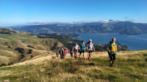
A short way in we enjoyed morning tea in a sheltered area and then climbed up a steep gradient to the Macrocarpa trees on Highcliff Rd. From here we followed the yellow markers to the top of Harbour Cone. This is an asymmetric volcanic cone that provides a stunning backdrop to Portobello and Broad Bay.
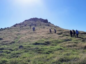
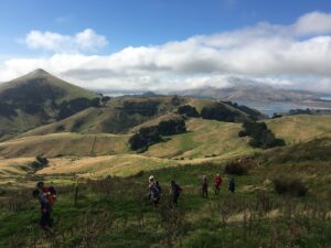
We descended and then followed a track downhill through trees. We stopped at 1200 for lunch at a scenic spot where we noted a marker post engraved to say it was Coffee Rock.
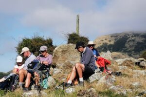
After lunch we crossed back over Highcliff Rd then followed a track downhill through trees before doing the steep climb via yellow markers towards Larnach Castle.
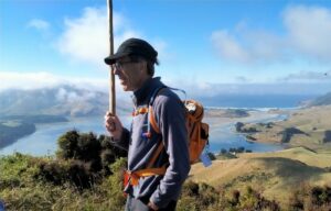
It was easy then to follow the tracks to skirt around the bottom of the Castle bushline.
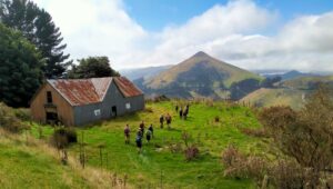
We descended to find Camp Rd which took us back to the Harbour Walkway.
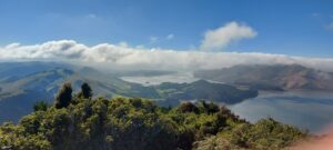
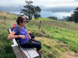
It was a short walk back to the cars arriving at 2 p.m. and then we headed off to Macandrew Bay for some to have ice creams and some to have coffee.
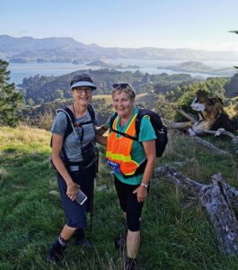
This is a medium to hard grade 9km tramp but such fun to do with a motivated group of people. We would like to thank Pam Cocks and Helen Morris for helping us to navigate the track successfully
Margreet and Marijke
17. 22/8/2018. Hikers. Harbour Cone Walk. H. Leaders: Jim and Betty.
18 Hikers started off at sea level
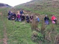
and most made it to the top or 12,370 steps and 121 floors up to the summit.

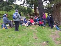
The weather was cold, damp and could have been kinder for us. The surrounding views were some-what reduced.
A very memorable walk. – Jim and Betty
16. 2018-07-11. Trampers. Harbour Cone. E-M. Leader: Arthur.
A very pleasant sunny mid-winter’s day arrived for our weekly outing.
The cars parked at the Broad Bay Boating Club and 13 trampers went off walking along the harbour side to Bacon Street.
Morning tea was taken in the dry area under some large pine trees,
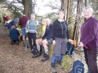
near the beginning of the walking track.
We followed on up the old Bacon street walking rack to the road.
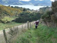
After crossing over (why did the chicken cross the road?) we found that the stone ruins of the old Allen House had been fenced off. Some timber framing, also new, was obviously in place to support the stone wall and prevent it toppling over.
From the ruins it was uphill all the way, but in time we picked our way through the rocks onto the summit of Harbour Cone. But the effort had been worth it as the scenery was magnificent.
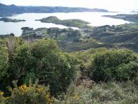
The sunshine, and lack of any breeze allowed us to enjoy our time on top.
A cool breeze arrived just as we began the descent.

At 12 noon we found a sheltered spot (out of that breeze) to partake of the contents of our lunch boxes, and with a view looking out over Hoopers Inlet and surrounds.
After lunch we soon crossed back over Highcliff Road, down hill in the paddocks for a little, before the steep little climb up towards the castle. Everyone needed a breather then, but the hard work was all over.
It was easy now to follow the contour before descending on Camp Road (unformed), but still with interesting views of the harbour and environs. We arrived back at the cars at 1-45 pm after an enjoyable tramp in superb mid-winter conditions – the northerly wind had increased during the afternoon. Our group of 12, plus 1 guest (Eleanor’s daughter) had walked just over 10 km.
We drove back to Macandrew Bay and were shocked to find the coffee shop had closed down! After discussion we returned to Mosgiel and took our custom to the Blackstone Cafe, for our debriefing.
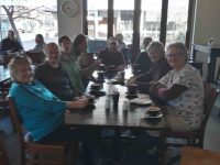
Several had intended having an ice-cream at Macandrew Bay (another shop) but didn’t, in sympathy with the coffee drinkers, and so missed out entirely at Mosgiel – their sacrifice should not be forgotten!.
Thanks to all. – Art.
15. 21/3/2018. Hikers. Bacon Street only.
The planned tramp to Harbour Cone had 22 trampers depart from Mosgiel in light rain. During the drive to the start point the rain intensified, and it became a simple decision to abandon the tramp. A coffee stop was suggested for the return trip to Mosgiel …

… which was attended by 19 of the party. -Cheers Jim.
14. 9/11/2016. Trampers. Harbour Cone.E+. Leader: Arthur.
The early rain cleared before assembly time at the car park and conditions were looking good. Ten eager trampers travelled in three cars to park by the Broad Bay Boating Club. The sky was brighter in the vicinity compared to the cloud down on the hilltops back in the city direction. A northeast wind to start with, which later turned southwest.
As an experiment we had decided to do this (circuit) tramp anticlockwise. The club had previously only ever gone clockwise. A short road walk back took us to Camp Road. The ascent was variable, with some easier gradients in between the steeper ones.
Morning tea was taken after 30 minutes with the worst behind us. From there the view was excellent and we could look across to Harbour Cone which seemed a long way off.
We continued uphill, gently now, past the two decrepit old buildings where “elf and safety” signs warning of the hazard they presented were noted. A little further and we turned left towards Harbour Cone, down hill. Funny, but it didn’t seem that steep going down as it had climbing up that part on a previous occasion. And then up a little took us to join the uphill paddock track from Bacon Street. Easier going for a while got us to Highcliff Road, with a stile on each side to climb over. And then climbing some more.
A brief rest stop on Rocky Knob gave us good views, especially over Hoopers Inlet. On a bit, before descending a little to view the ruins at Nyhon Farm (there is a sign at the site now).
From then on it was uphill all the way to the summit. Comments such as “don’t look up”, “take short steps”, and “just keep putting one foot in front of the other” were heard. All good advice.
The cool (but not cold) wind was behind us as we climbed, and helped push us up, at least psychologically. In a short time we were picking our way through the rocks and came to the trig station on top.
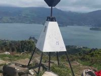
The 360 degree views available to us were just a tad hazy, but the Mt Cargill mast stayed hidden in the clouds. What a great place to be! Not far below us, to the east of north, the white buddhist shrine stood out clearly in the sunshine. It was only 11.40 but on the summit was the only place to have lunch, even if a little early. Just over the brow it was sunny and nicely sheltered for this important ritual.
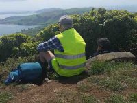
Thirty minutes for lunch and then it was downhill all the way.
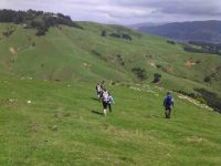
We descended to the ruins of the Allen Farm
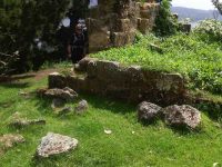
(no sign seen here), crossed the road, before going down the old track to Bacon Street.
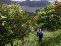
A walk back around the harbourside took us back to the cars at 1.00 p.m. The day’s distance was 8.25 km, not long perhaps, but we had quite a bit of uphill work. The summit of Harbour Cone is 315 metres by the way.
Several commented that doing an anticlockwise circuit had worked very well and it gave us the opportunity to have our lunch on the summit.
On the way home two cars stopped at Macandrew Bay to allow their occupants to visit the coffee shop. Another very enjoyable day’s tramp out on the fresh air over. – Art.
13. 22/7/2015 Trampers. Harbour Cone
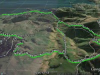
I must be getting old, I put the group wrong on where we were starting the tramp from, I had it in my mind that we were going to Portobello — how wrong was I !!! I apologise for the mix up !
Anyway, after we arrived at Bacon St. we parked up & made ready for the days exercise. 10 trampers, some new to the group set off, & we stopped at the normal spot under the Macrocarpas just past the top end of Bacon street, where the ground is dry, for morning tea. For today’s tramp, I had decided that we would go up the marked track in the paddocks, instead of climbing up the fence line track. This was a new way for all of us, which made it more interesting.
As we made our way up, I could see that it was going to be a longer walk going this way up to Harbour Cone, than the fence line track would be. However the gradient is much more gentle.
We all made it to the top of Harbour Cone, some in better condition than others !! So we spent some time up there admiring the views,…
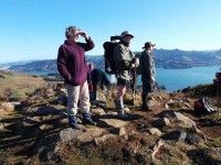
… & resting up before carefully negotiating the boulders on the way back down.
Now, there was a water trough down near the bottom where you go through the gate by the stone wall in the next paddock, this water trough is fed by a pipe running down the hillside from above, & it is constantly overflowing, with the ground around & below it VERY WET, So, what does one member do — he walks down through the wet patch & promptly falls on his butt, then after standing up, he repeats this, just for good measure, & to make sure he was well covered in mud.!!! He arrived at the lunch stop by the stone wall looking very muddy & wet.
After lunch, we retraced our steps down into the valley, then up the other side to the Camp Rd. track below Larnachs Castle. This climb was almost the last straw for a couple in the group, but with some help everybody made it up there, & we had a lengthy rest break here for them to regain some energy, before setting off down Camp Rd.
When we reached the car park with the toilet in it at broad Bay [ where we should’ve stopped originally !!] I suggested that anybody who wanted to wait there could do so, & we would pick them up on the way back from getting the cars. this suggestion was eagerly pounced upon by 6 members of the group. [ now if we had parked there in the morning, all party members would’ve had to walk the full distance, so my mistake let them off the hook !]
The other 4 of us walked back to the cars, & then returned to pick up the ‘survivors’, & then we headed off to Macandrew Bay coffee shop for a chat session, & to keep up the ‘Trampers Coffee Club’ tradition.
I hope this trip which is really quite hard, doesn’t put off the new members we had on this tramp, as most of our tramps are not this steep. So hope to see you all again next week for our assault on Swampy summit.
12. 12/2/2014. Hikers. Harbour Cone from Bacon Street in Turnbull Bay. Leaders: Dorothy and Chris.
Discretion being the better part of valour, the leaders spurned the steep fence track, choosing instead the much more graduated DCC yellow poled line one to the right, despite its many fence stiles. We had our cuppa amongst the clump of macrocarpa trees, (a point where a side track leads off to the right, through a gully and steeply up to underneath Larnachs Castle). But after our stop, we carried on up and across Highcliff Road to turn left and further up to Rocky Knob. Here the leaders and one or two others forewent the option of going further, allowing a hardy 12 to go over and across the next paddock, down through the gate by a stone wall and on up endlessly, it seemed, to the rocky-strewn summit of Harbour Cone.
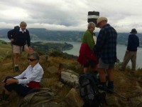
We returned down to lunch on the stone wall before going on to join the others on Rocky Knob. Then it was just simply to retrace our steps back down to the cars. Threatening rain on a couple of occasions failed to eventuate. The day was lovely and calm and not too hot. A perfect and satisfying tramp, well-planned by the leaders. – Ian.
11. 21/8/2013 Trampers. Bacon Street, Harbour Cone, Rock Knob, Camp Street.
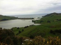

Hoopers Inlet to Highcliff Rd. Otago Peninsula
Accessed from Hoopers Inlet Road. 2.20 ret. Route. Manager: DCC CAM
Very steep track. Suitable for experienced and agile parties only.
10. 28/4/2010. Trampers. Harbour Cone from Hoopers Inlet Track and Nyhon Track. Hard. Leader: Ian
From there it was over well-remembered ground
to then grind our way up to Harbour Cone.
A short stop to admire the view and then back down again, across to Rocky Knob, and down the vehicle track to zigzag into the gully below the knob – the gully we should have taken on the way up. There we stopped for lunch.
and were met by Ken who had more adventurously taken the original steep descent down through the bush.
But then, surprise. Markers took us up steeply to hug a fence line over a rise to descend further along, now very steeply and to the marshland again.
Another board, bridging a stream, stile to climb and we were out into a grass paddock again.
9. 8/12/2010. Hikers. Harbour Cone. Leaders: B Harvey, C Hughes.
8. 15/7/2009. Trampers. Bacon Street, Harbour Cone, Rock Knob, Camp Street.
We were immediately into macrocarpas and elected to stop here for our morning tea.
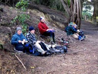
Despite DCC-inserted yellow-topped poles leading off up a valley, we stuck to the original public walkway taking us directly up the steep hill to the macrocarpas on Highcliff Road. Across the road and past the building ruins we turned our attention to the relentlessly steep ascent of Harbour Cone. The polled track took us straight up and through the boulders at the rocky top to the trig.
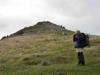
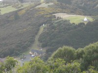
Amongst the wonderful views was the sight of two strange monuments in a property above Portobello as seen in the following pic.
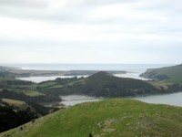
Returning down the south side of Harbour Cone we stopped for lunch in the saddle between the Cone and Rocky Knob. Then it was up a stone-walled track to the Knob. A virtual former cliff-face track led down to Hoopers Inlet, although now a new polled track made an easier descent around a farm track to the left, but that was not the way we were going today. We stopped to enjoy the sights of Sandymount, Hoopers Inlet and Varleys Hill but it was too windy to tarry.
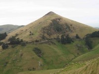
Going on down and back to Highcliff Road, most elected to go on up the road to enjoy a more level approach to Camp Road while four hardier (stupid?) ones took the yellowed poles track on across the road, down through a deep gully and then very steeply up to join the others where Camp Road enters the trees under Lanarchs Castle. Here we could take in another wonderful number of views.
The poled track took us around a contour under the Castle to eventually go steeply down into Broad Bay and so back to the cars. – Ian.
7. 30/11/2007. Broad Bay, Harbour Cone, Peggy Hill. Leaders: George
1. 21/12/1988 Leaders: Chris, Ria H, Jean.


One thought on “Harbour Cone, Broad Bay, Turnbulls Bay, Bacon Street, Peggys Hill”