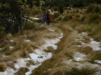
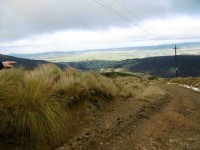
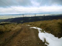
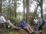
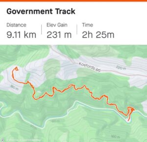
The track entrance is Government Track / Kowhai Spur 5 km down Waipori Falls Rd on the right; parking is 100 m further on the left. Traversing the slopes of the beech-and mānuka-forested Waipori Valley south of Dunedin, the Government Track was built in the 1860s to provide access to the central goldfields. For mountain bikers there is an option of riding up and returning the same way. Alternatively, once at the top follow the pylon track left and steeply down into Waipori township, then follow the road back to the start.]
34. 3 May 2023. Combined Government Track Grade 3 Hikers Grade 4 Trampers Leaders: Jay, Kay, Sarah and Pam
Trampers: After a winter start time meet n greet, 10 cars converged on the Waipori Gorge starting point for our combined hikers’ and trampers’ foray up the Government Track. For the trampers the route was to take us further up the hill than the hikers, doing a kind of loop at the top of the hill, then descending back to the Government Track for the homeward leg. Originally Phil and Helen Morris were to be leader and tail end charlie, but Phil catching Covid put paid to plan A. Our initial replacement leader also suffered some health gremlins, so Sarah, rather had things sprung on her the night before, but agreed to lead.
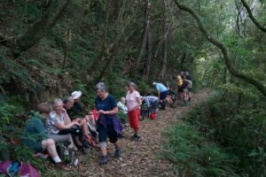
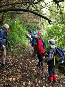
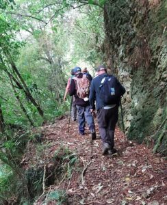
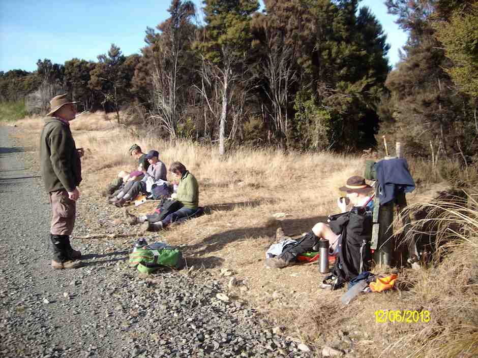
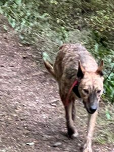
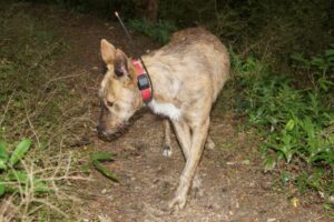
Fourteen trampers started out ahead of the hikers (at 10.am), up a surprisingly damp and cool lower section of the track (mild 23-degree temperatures forecast for the day). As we climbed away from the shaded valley floor, and chilling Waipori River, we warmed up quickly. Accompanying the hikers behind us was a lost, and bewildered looking pig hunting dog (wearing a GPS dog tracking collar), who had been resting under his owner’s ute when we arrived at the car park. Morning tea was enjoyed at 10.30am, not quite at the clearing where it was planned, but on a small bank beside the track. By sheer chance, we soon discovered that the hikers had later stopped around the corner just below us! That pig dog was still with them but did apparently head back down the hill soon afterwards.
Soon on our way again, by 11.40am we had reached the clearing originally planned for our morning tea stop. An enjoyable wander up the track, admiring the array of toadstools and fungi along the way followed.
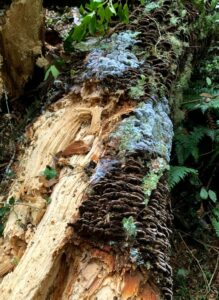
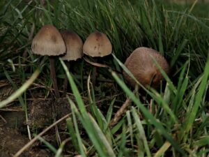
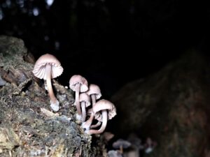
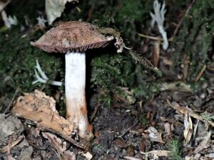
Purple toadstools were spotted, and a great variety of toadstools sprouted from rotting logs and tree stumps. It soon dawned on us however, that our slow ramble, could make for a very long day, and late finish. Averaging only 2.5kph for 2 hours meant we were well behind schedule. Why so slow?
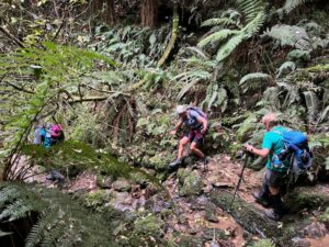
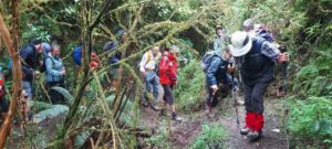
Creek crossings, recently fallen trees and large branches, and some technical bits slowed our progress, so we started to speed up on the smoother sections.
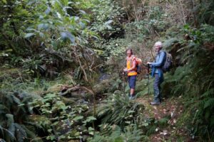
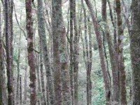
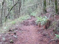
Being an old horse and dray track, much of the tramp was on lovely dry, smooth surfaces with a gentle uphill gradient. Sarah, ever vigilant, referring to her topo map, subsequently had us stop for lunch later than originally planned at 1.25pm, where we dined and rested in a section of beech forest, having covered 9.74km at this stage.
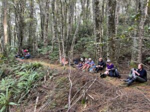
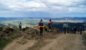
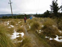
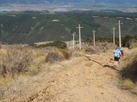
By 1.50pm lunchtime was over, and we were on our way at a better clip, reaching the usual tramp lunch stop spot (a clearing by power lines) at 2.00pm. Five minutes later we were at the road, turning right, then soon after turning right again into Dunstan Road.
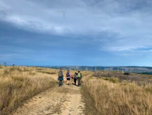
Our speed along this lightly gravelled road increased substantially, which had us arrive at the “White Doc. Gate” at 2.35pm.

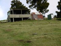
Following the road down from here we arrived at the at the “old hut” at 3.19pm.
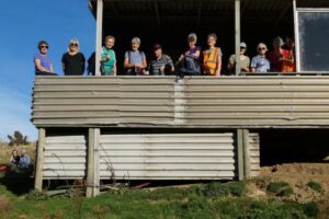
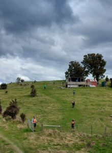
Leaving here Sarah’s topo map suggested we cross a large open field curving around the hillside diagonally, Phil’s instructions more conservatively showed a fence-line following along the top then down. Although perhaps with a little initial trepidation, our faith in Sarah’s topo map was vindicated, leading us straight to the power-line clearing strip, in the lower bush, and the stile onto the Government Track, (Never doubted you, Sarah!) at 3.40pm. By 4.25pm we were back at the cars, having covered 18.8km with 4.5 hours moving time (average speed 4.18kph). A special shout out and thank you to original leader Phil Morris, who despite having Covid, greatly assisted with a set of instructions and map of the tramp Thanks to Sarah as leader and Pam as tail end charlie. A long day, but one with many fond memories. John
Hikers: 18 keen hikers left PJ Park at 9.30am and travelled down to Berwick where we turned right into Waipori Falls Road and travelled along until we reached the carpark on the left. We took off on our walk accompanied by a dog wearing a GPS collar. Thoughts were that it may have been a pig hunting dog. The walk was a gentle climb through the bush on a reasonably dry track apart from the usual muddy parts which never seem to dry out.
Still the dog followed. About halfway up 2 hikers returned to the carpark followed by the dog.
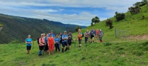
We carried on up through the bush until we reached open farmland where a bit further on we stopped for lunch overlooking native bushland and forestry.
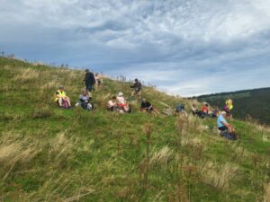
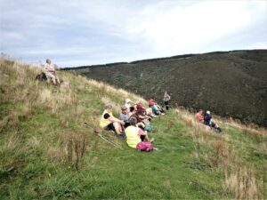
After lunch we returned the same way back to the cars having walked 7kms.
Coffee was at Wobbly Goat. We all hoped the dog was found by its owner. Today’s leaders were Jay and new member Kay as tail end Charlotte.
33. 16 November 2022. Hikers Government Track Grade 3.5 Leaders: Neil and Margreet
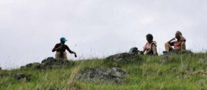
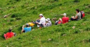
After lunch it was a case of reversing the morning’s effort by trekking back down the beautiful bush clad track to our cars.
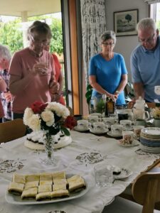
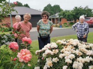
But then we were told of a special treat! The hikers were all invited back to Eleanor Ryan’s picturesque Outram home for coffee/tea and home baked cakes! With her lovely garden and trimmed lawns, not to mention her delicious baking; it was an awesome highlight to our day on the Government Track. On behalf of us all Eleanor, thank you for your generous gesture.
32. 29 September 2021. Trampers. Government Track / Kowhai Spur. M. Leaders Phil and Helen
A good number of 17 trampers headed up the track, muddy at start but soon became well cleared with a gradual 7deg incline most of the way, apart from small creeks that were hard to pass due to slippery and wet rocks.
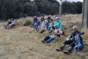
We finished lunch then headed to gravel road, headed right, continuing up until we found an intersection with Styx Road on sign. Did we continue straight ahead or did we go right? After a wee bit of discussion we went straight ahead thinking we were on Styx Road we continued for a km and a half, “wrong”!! An about turn, back to intersection amidst a laugh or two. We should have turned right at the intersection, although I was not a 100% confident, Gwenda and Eleanore, were though. The young lady from Salt had also scooted up 800 yards and returned saying there didn’t appear to be a turnoff. But a decision to continue was made, John also very confident decision was correct. After about 2km in the distance we saw a Dept of Conservation truck so we thought right these fellas would know, so we got closer and a second truck had arrived. Asking them if we were on track for Kowhai Spur Road, they replied YES, phew!!
Directions simple – up Government track, lunch at clearing 50 yards from gravel road, turn right to Styx intersection, turn right, 3 km along gravel road to white conservation iron gate, turn right, down hill to hut, over ridge go right, following tyre tracks downhill, to electric fence go left through gate, continue down 40 metres or so then when you feel you should go right go left then straight down to a clearing where the fence line takes you to the stile which is the Government track taking you back to start 18.3 kms.
Cheers for a cool longer but casual day,
Helen and Phil.
31. 9 June 2021. Hikers. Government Track. E. Leaders Sue & Kathryn
9 hikers travelled to Berwick on a cold (-1 deg.) but pleasant morning. We proceeded up the track which is a gradual incline on a reasonably dry track. We stopped for morning tea part way up.
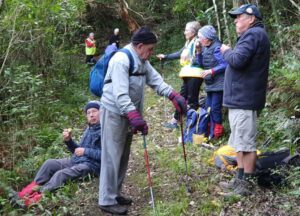
Then carried on crossing the stile into paddocks.
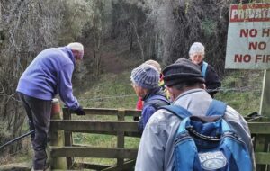
After walking a short distance, it became very wet and boggy where cattle had been walking through, so we detoured up the hill and onto a slightly overgrown track in parts. We came into sunshine and a nice area for lunch.
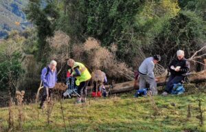
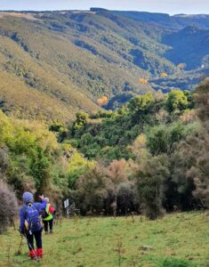
After lunch we walked downhill to the stile and back down the track to the carpark. We all headed to the Wobbly Goat for coffee.
Kathryn Fagg
30. 28/10/2020. Hikers. Leaders Clive Crossman and Alex Griffen

Numerous song birds accompanied us on our way. After an hour we stopped for morning tea with the sun breaking through in patches giving what more romantic writers would describe as ‘dappled shade’.

As we climbed higher we looked down through the forest and became aware how precipitous the track is in places, the steep drop off camouflaged by the dense bush.


The height gave us some spectacular views across the valley with the road snaking away hundreds of feet below us. Eventually we broke through the muddiest part of the track into open paddocks. The sun had raised the temperature into the mid teens so it was decided the open paddock would be a good place for lunch, however it was a bit early, so we continued for about another kilometre into the bush.
There we saw some corrugated iron that some speculate is the remains of the hut used by the original track makers..

After lunch we returned the way we had come. With the track being so muddy and slippery in places it is surprising that only one hiker took a ‘dive’. The degree of difficulty = 0, artistic merit = 0, comment from hiker = Oh Oh, and laughter.
We made it back to the cars in good time and gathered at the ‘Woobly Goat’ in Outram for afternoon tea where the consensus was that it was a good days hike.
Alex and Clive
29. 17/10/2019. Trampers. Government Tramp. Leaders: Gordon and Sue.
18 eager trampers (twice as many females today) headed out to Waipori on a mild morning, parked at the Government track carpark and headed off into the hills. The gradient on the track is enjoyable, gradually climbing to the top. It was pleasing to see how dry the track was, considering recent rain. This was obvious with the amount flowing down the Waipori river.
We crossed the stile into a grassy patch and walked for a while before stopping for smoko at 10:30am.
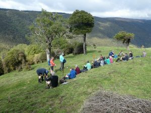
Photo Gordon – Morning tea
Onwards through mature Silver Beach, Kanuka and Manuka.
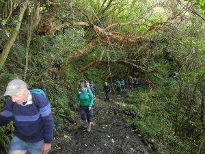
Photo Gordon – Walking throug native flora.
Also, the odd creek crossing and windfall trees, one you climb under, the rest you climb over! One spot has about a 100 metre scramble to get through.
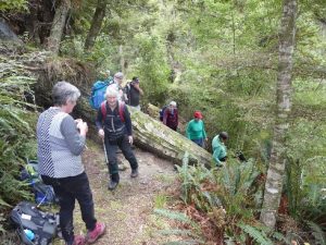
Photo Gordon – Some trees were tricky to get over!
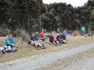
After hiking just on 8.5 kms we reached Shaw Road at 1:45pm and enjoyed the sit down in sunshine for lunch and a chat.
We proceeded along the road for 2km’s before reaching the pole track, which has a very steep descent, however, the views over the Taieri plains, the Taieri river, the Sinclair wetlands and the Lakes are well worth stopping to admire. (In July 2018 we had light covering of snow and a slippery trip down)
At the top of the Kowhai Spur we headed right through the gate into farmland, passing a Musterers hut, then a herd of healthy Hereford cows with happy calves at foot.
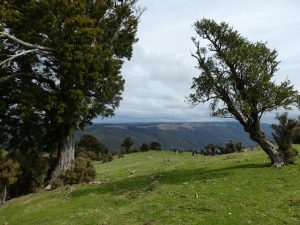
Photo – Gordan – Renants of native bush on downhill farmland
Sidling around and down paddocks we arrived back to the stile, and once again—-looking like a very long caterpillar, enjoyed the hike through the bush to the cars.
Deciding not to stop at Wobbly Goat for coffee because it was near closing time.
The Government track was built in the 1860’s to provide access to the Goldfields. Over 20 men were employed to form this publicly funded work. Was never much more than a bridle track and unsuitable for wheeled traffic. When completed it provided a cheaper alternative route to bring in horse drawn supplies from Dunedin, which previously had to be carted via Lawrence.
We hiked a good 18km’s, arriving back to carpark at 4pm.
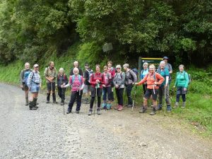
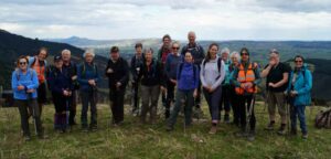
Photo Gordan – The whole happy group!
Good company and good weather == another great day out.
Gordon and Sue
28. 12/9/2018. Hikers. Government Track. Leaders: Clive and Lester.
25 Hiker set out from beside the Waipori River.
At first the track was slippery and boggy. Then as we got up into the bush a walk up a steady incline was enjoyed by all.
Until…. we hit the next patch of boggy ground and we had to negotiate more slippery track, made a bit worse by the cattle that had churned up the path. The weather was kind and we made it to the 5km mark before deciding that was far enough and returned to the open paddock for lunch.
We then made our way back the way we had come trying to find the less slippery and boggy part of the path. The views from up the top were great.
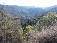
We all made it safely to the cars and then onto Topiary for afternoon tea. – Clive & Lester
27. 25/7/2018. Trampers. Government Track. Leader: Sue.
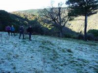
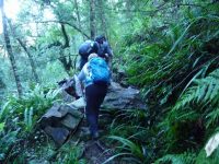
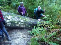
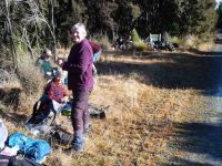
26. 30/8/2017. Trampers. Government Track. M. Leader: Dave.
14 keen trampers met at the carpark near the start of the Government track on Waipori Road. We soon started on the track noting the 4 twisted manuka trunks at the side of the track. The track has a gentle grade and is 8.5km long.
The reason for the gentle grade and generous width of this track lies in its origin as the original “road” from Berwick through to the Waipori gold fields. Over 20 men were employed during the 1860’s to form this publicly-funded work, which was never much more than a bridle track unsuitable for wheeled traffic. When completed, it provided a cheaper alternative route to bring in supplies (horse drawn) from Dunedin, which previously had to be carted round via Lawrence.
Morning tea was had over the style, up the ridge, in the sun and on time at 10am!
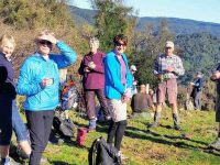
We continued up the track which is through native bush, mainly manuka, kanuka and silver beech
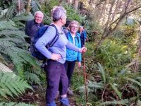
. There were occasional views out to the Waipori valley and surrounding hills. A number of big tree trunks lying over the track were either scrambled under or over. There was plenty of talking and hilarity on this trip which was great!
Lunch break was at the top of the track, again in the sun.
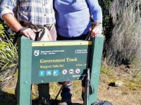
We then continued along the forestry road and stopped at the highest point (580 metres) where there were great views all around,
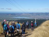
particularly Maungatuas, Lammerlaws and Rock and Pillar range. Moving on to the top of the kowhai spur we stopped to get panoramic views of the Taieri plain, very clear because of the fine day. The kowhai spur is aptly named as it is steep and feet can move to the front of your boots! The next break was at a farmer’s workers hut
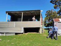
before heading down the ridge, through some bush and back on to the bottom of the Government track. A number of birds were heard and sighted including kereru (wood pigeon) and bellbirds. On getting back to the cars we found we had covered 18.5km. A fair walk!
It was then off to the wobbly goat (with some wobbly legs) in Outram for a well, deserved coffee and more chit chat.
A great group to be with – Dave M.
25. 23/11/2016. Hikers. Government Track. E. Leaders: Jim and Betty.
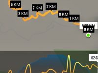
The party consisted of 23 people.
The weather’s appearance was indifferent. But the Government track up the Waipori Gorge afforded good shelter in the bush. The condition of the track was excellent [thanks to track-clearing by the leaders on their recce, especially on the zig-zag beginning – ed.] and this track has a very moderate consistent gradient. The return was a slight downhill grade & a total of approximately 9.5 kms was covered. Lunch stop …
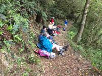
… was brief as there was drizzle approaching. On the return to the car park some hikers took an old short cut which gave them a minute advantage.
Hot drinks were enjoyed at the Wobbly Goat in Outram, …
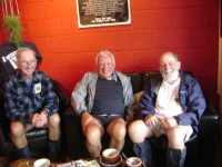
… before returning to Mosgiel. – Betty and Jim.
24. 17/2/2016. Trampers. Government Track. Leader: Various.
After lunch, walked along …
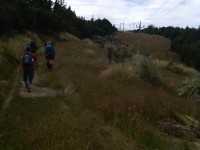
… and down the pole line to the hut.
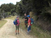
Turned right, found a tape marker which led us over and down to the style on the track just below where we had morning tea. Carried on down the track to the car park.
Heard lots of wood pigeons and bellbirds. A great day’s tramp. About 17k, and quite warm temperatures. – Heb.
23. 21/10/2015 Hikers. Government Track. Leaders: Betty and Jim.
22. 27/5/2015. Trampers. Government Track, return part Kowhai Spur.
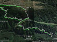
We had a short stop for morning tea,
21. 12/6/2013. Trampers. Government Track. Styx Rd return.
Thanks to the earlier start time of 9:00 instead of 9:30, we were able to complete this 18.5km walk before it got too cold in the afternoon, & it gave us a time buffer if somebody had injured themselves.
We walked 18.5km
moving time 4hr 15mins
climbed 364mtrs
– Ken.
20. 3/10/2012. Both. Government Track. Leaders: Graham, Judy.
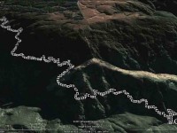
Doug set a good pace on the return trip and the clear track allowed us to step it out with a good swing.
18. 3/2/2010. Hikers. Government Track. Medium. Leaders: Neil, Lex.
17. 9/9/2009 Government Track, return Kowhai Spur. Leaders: Ian, Sabina.
16. 17/9/2008 Waipori Gorge Area, 1860s Government Track, Waipori Leaders: Bill H, Peter B

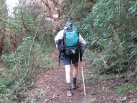
The ‘disturbed’ kanuka
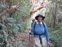
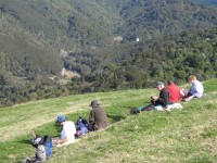
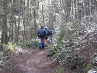
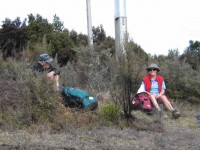
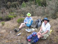
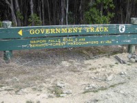
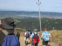
The programme said ‘Waipori’, but it really meant Bill H’s traditional walk up the “Gummint Track”. As a past long-serving employee in the area (both on a farm and in electricity supply) he was the ideal leader. As slips had made the upper reaches of the track difficult, the 15 of us began walking from the end of the seal up the Waipori road, then crossing farmland and having morning tea beside the river. After that we were following the route taken by early prospectors up the steady incline of the old 1860s Government standardised track for drays and horses to the Central Otago Goldfields. After an initial 3-minute climb, the track maintains a remarkably consistent, gentle gradient considering theodolites were not used and the construction teams used handtools! The day was calm and mild, and spring growth was evident in the lovely mixed broadleaf forest, with signs of fuschia flowers and kowhai. The track was carpeted with innumerable ’skellingtons’ of fuschia leaves (the fuschia is one of the few deciduous NZ trees) which made it soft and springy and patterned.There were also Kanuka, Matai, Totara and juvenile Lancewood. At one point there were 4 Kanuka alongside the track that must have had a disturbed childhood as they all had right-angle bends in them! The sound of the river gradually receded, and at lunchtime we came out onto cleared farmland with cattle and a good view up the gorge to look at while we ate. We returned by the same route. There was some birdlife to remark upon– paradise ducks, bellbirds, warblers- but the most remarkable was at a willow tree on the river flat in which Arthur counted 13 wood pigeons, all greedily gorging great gulps of green tips. A very pleasant walk of about 16km through lovely local terrain. – Bob
15. 12/12/2007. Hikers. Government Track. Medium. Leaders: Bill H
Only seven hikers took advantage of the ideal place to be on a very warm & humid day, the lovely bush of the Government Track in the Waipori area. It is a lovely place for a hike. Beautiful bush and beech forest. Lots of birds singing in the trees and great views of surrounding bush and road to Waipori Falls. The track is not too difficult and although you go fairly high it is a relatively gentle climb most of the way. With only a small number we took our time and lapped up the cool and pleasant conditions of the track. Morning tea sitting by the track just after 10am, and then, about 12noon, 5 of us decided we would stop for lunch. Two of the group thought they’d like a bit more of a challenge so went further up the track and had lunch before heading back. Those of us in the larger group found a really lovely spot in the beech forest to sit, chat and enjoy our lunch break. Then it was back down the track, (down hill all the way!) to the cars. All agreed we had had a very enjoyable days hiking. – Bev.
14. 29/11/2006. Hikers. Government Track. Medium. Leaders: Arthur and Barbara.

