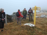
Distances from car-park: Top of Buskin Track 24 km, Glenfalloch 24 km, Macandrew Bay 25 km.
25/05/2022. Trampers. Greenacres, Buskin, Paradise Tracks. M. Leaders: Anne and Rod Ward
It started as a cold blustery day when we departed from Mosgiel, proceeding down the bay with white caps plentiful on the harbour. 14 hardy souls started the Greenacres Track at 0940.
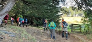
Conditions were better than expected once we started our journey up Greenacres Track and turned right to walk along Highcliff Road to the start of the Buskin Track.
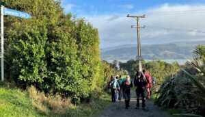
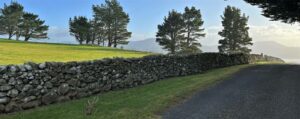
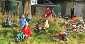
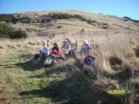
We stopped for a cuppa at the start of the Buskin Track then proceeded down the track to the junction of Paradise Track. Buskin Track was surprisingly sheltered from the cold southerly wind.
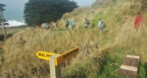
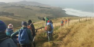
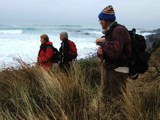
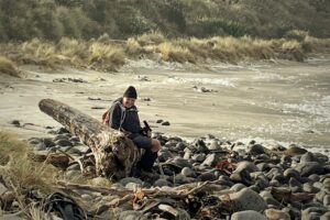
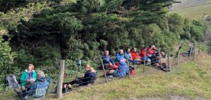
After a side walk to Boulder Beach which was spectacular with crashing waves, foam whipping up the beach and blustery cold wind we returned to a sheltered spot at the start of the Paradise Track for lunch.
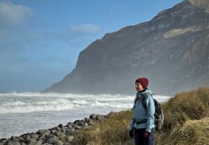
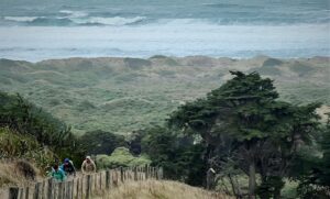
Ascending up Paradise Track without stopping and a cold southerly on our backs we again joined Highcliff Road then back down Greenacres Track to our vehicles.
Everyone enjoyed the walk and as tramp leader I must congratulate everyone for being so well prepared for the extreme conditions that never eventuated.
Finished our walk at 1440 and headed to “The Duck” at Macandrew Bay for a well-deserved coffee.
Anne & Rod Ward
Glenfalloch’s name is Gaelic and means “Hidden Valley”. Glenfalloch was established in 1871 by George Russell. It covers 12 hectares (30 acres). In 1917 Philip Barling purchased Glenfalloch and it was opened to the public by his son in 1956. It was brought by the Mills family in 1960 and in the late 1960’s the Otago Peninsula Trust purchased the property. We can be very grateful to have this asset to enjoy every season of the year.
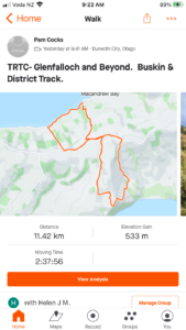
9.40am saw Phil and his harem of nine set off through the woodland gardens of Glenfalloch following a path which took us to the Bridal Lawn, over the Russell stream bridge to admire the ferns and woodland foliage before climbing up many steps to a four-wheel drive track and the start of our first big ascent.
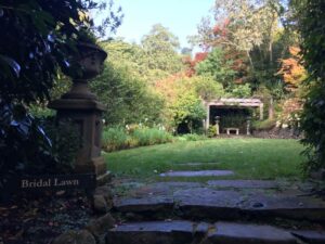
As we steadily climbed, this track petered out into a single overgrown track which took us to the boundary line.
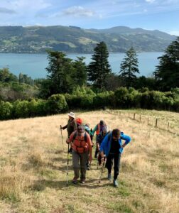
Here we pushed our way through low Manuka branches to the fence where packs and poles were thrown over before we squeezed through the wires.
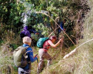
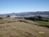
Then it was a steady zigzag climb up Claremont Farm to just below Highcliff Rd where we stopped for morning tea while enjoying the great vista’s back over the city, the sparkling water of the harbour and to Port Chalmers and beyond. Jill D’s birthday treat of easter eggs got us going again walking up Highcliff Road for 15mins to Penzance Kennels and the start of Buskin track.
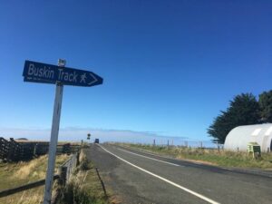
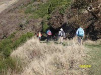
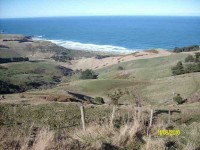
This track weaved its way down the side of the hill, again with spectacular views now of the Pacific Ocean and rolling farmland out to Sandfly Bay. This single file track was mostly grass with the odd churned up muddy patches trampled by cattle, but some boards had been placed in situ. We eventually came to a junction with Braidwood track to Boulder Beach and Highcliff Track to the right. We continued on the Highcliff track through clumps of macrocarpa trees until we came out in the open again.
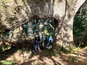
The track weaved its way towards the sea and then suddenly it was a steep grunt up to the top to the White Rocks (lichen covered) for lunch.
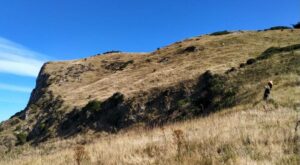
Again, enjoying spectacular views over Boulder Beach, towards Sandfly Bay and Mt Charles, Phil handed around chocolate treats from Betty and Jim (thank you soo much).
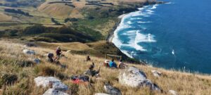
With the sugar rush we were off again and, as we walked around a corner, the views changed again to Tomahawk, St Clair Beach and Black head. When Highcliff Track finished, we continued on Karetai Rd to where it meets Highcliff Rd. A 20-minute walk down Highcliff Rd brought us to the unmarked District Track.
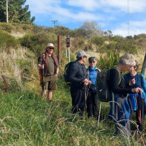
Once Phil cleared the grass around the stile, we scrambled down through long grass following the fence line for 20 mins to another stile and from there continued through trees towards Portobello Road.
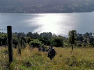
A very steep final descent brought us onto Portobello Road.
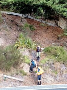
We had a 20 minute walk on the shared pathway to Glenfalloch where we were joined by Raewyn, Claire and Jan for coffee, cake and ice cream on the deck in the last rays of sunshine.
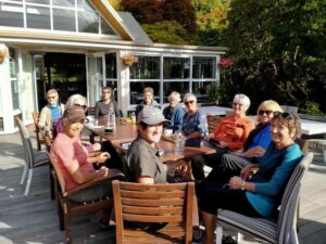
Thank you Helen for filling in at the last minute as Tail End Charlie and to Jason allowing us access through Claremont Farm. Pam Cocks
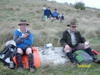
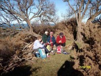
Lunch (Ken pic)
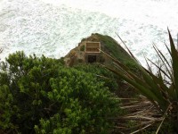
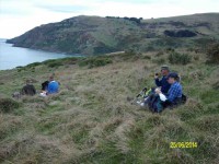
… overlooking Double Bay, with Boulder Beach off to our RH side.
When we got back to Braidwood Rd. we had a conference to decide which way we would go back to the car. It was agreed that we would go up the Highcliff Track, & out via Karati Rd. I think some would regret that decision about 1/2 way up !! Anyway, we all made it to the top, & back to the car.
When asked what they thought of the walk, one member, who had never been around there before, took about a minute to answer, & then said “it was interesting” !!!
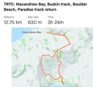
We walked 12.2km; 3.7km/hr; 3hrs 19mins moving time; climbed 540mtrs. – Ken.
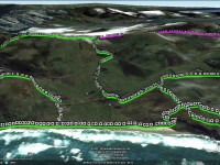
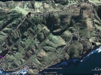
GPS, courtesy Ken. GPS track has attached itself to previous tramps on Google Earth. So ignore middle left lead off from Buskin. Also middle right and pink top.
We made our way back up and across thee paddocks this time and onto the lower part of Braidwood Road, descended this, now more storm-gutted than ever, went up Paradise track and along Highcliff Road to the cars. An interesting and different Boulder Beach expedition. Thanks, Ken. – Ian.
then it was a steep climb up to Karatai Rd. where we turned left, & walked down to Smaills Beach, then back to the cars. About 15.6km on a very nice day, most enjoyable. – Ken
16/7/2008 Buskin Track, Boulder Beach, Highcliff Track, Paradise Road. Leaders: Bruce & Marjorie
Seven trampers met beside the Penzance Kennels on Highcliff and, undaunted by the thick fog that covered the whole of the Peninsula and beyond, set off on what proved to be an interesting walk.
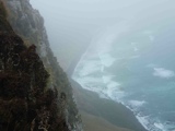
We walked down the Buskin track until it intersected with the Highcliff track. A little way along the Highcliff track we found a very sheltered spot amidst some old macracarpas for a morning tea break, being very careful not to make contact with the prolific growth of ongaonga bushes. Refreshed, we began the very steep haul up to the top of the cliff and a clearing in the fog enabled us to wonder at the white lichen covered rocks, sheer cliffs and steep drops.
Although unable to enjoy the views for most of the walk, Bruce made up for this by pointing out to us sites and remains of the old homesteads, stone fences and old fence posts. Even more interesting were the accounts he read to us of what life was like for the early farming families from a book by Hardwick Knight. Thank you Bruce for sharing this with us, enabling us to have a very enjoyable tramp on a grey day. – Marjorie
14/2/2007 Highcliff Road – Buskin Road – Boulder Beach – Paradise Road, Highcliff Road ret. Bruce & Marjorie
1/11/2006. Trampers. Peninsula Cattery, Kennels, Karetai-Buskin, Boulder Beach ret. Medium. Leaders: Bill & Pat, Lesley G, Graham
11/12/2002. Hikers. Karetai Road, Boulder Beach, Buskin Track. Medium. Leaders: colleen, Peg C, Betty
14/8/2002. Alt. Buskin Road, Paradise Road. Leaders: Betty, Peg C, Colleen.
5/11/1997. Highcliff Road, Paradise Road, Boulder Beach, Buskin Road. Leaders: Les and Mavis, Jean.
19/2/1997. Highcliff Road – Buskin Road – Boulder Beach – Paradise Road. Leaders: Mavis and Les, Doreen.
24/4/1996. Karetai Car Park. – Buskin Track. Leaders: Ivan and Bev.
2/11/1994. Buskin Track, Boulder Beach, Paradise Track. Medium. Leaders: Ria H, Jean, Bev H, Betty

