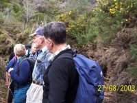
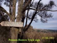
No. 67 on old hardcopy list of 113 club tramps. “Swampy – Jim Freemans – (J Roy) Summer”
10. 12/07/2023. Trampers. Westside of Flagstaff. Grade 3. Leader Lynley.
10 brave souls came out to fight the elements. Thank you to John Fitzgerald helping me to do the tramp as I was unable to get recce done in time. Starting at the top of Spiers Road on to a scruffy piece of farmland we had amazing views over Dunedin.
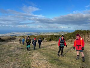
We passed a lovely rock wall made by Ben Rudd with a steep climb through flax and scrub. We joined Flagstaff then down to Ben Rudd shelter for a well-earned morning tea.
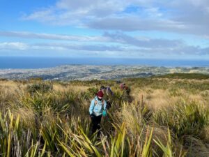
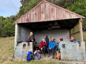
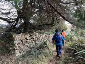
We proceeded to Possum track on to McQuilkans Track where found a sunny spot for lunch.
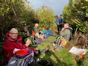
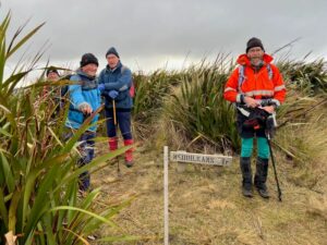
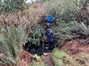
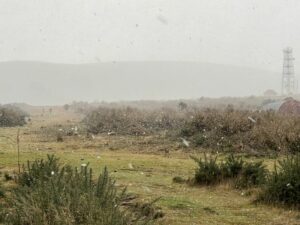
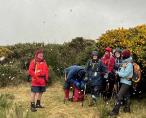
Missing out on rain, we had a few snow flurries looking like fairy land but very cold on top of Flagstaff. A good day had by all 6 hrs in total.
Lynley.
9. 24/08/2022. Trampers. Westside of Flagstaff. Grade 4. $5. Leaders: Gwenda and Yan.
Gwenda and I did the recce for this tramp, scheduled for late July, in mid July. So we were a little concerned that all the rain we’ve had recently hadn’t changed the condition of the tracks and the creek crossings too much.
It was raining steadily as Pam Cocks, Gwenda and I drove towards the Bull Ring, wondering if we would have to cancel again and thinking of more sheltered tracks. However, when we met the rest of the group there seemed no doubt in anyone’s mind that we should go ahead with the planned route.
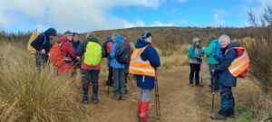
So 17 of us walked up the fire break road which leads to the beginning of Jim Freeman Track.
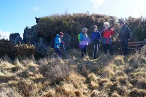
Our optimism was well founded and by the time we had morning tea the clouds were clearing and the rest of the day was sunny and pleasant.
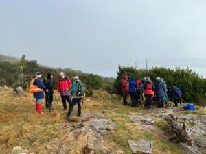
The downhill section of Jim Freeman Track was quite muddy and a bit slippery.
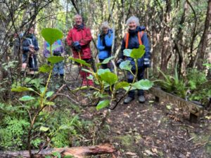
I think we were all glad we’d brought at least one pole and Lyn put on her crampons which looked really effective, especially on those tricky tree roots. No-one came to grief and although the creeks were running a little higher we all managed to cross without incident.
We then joined Possum Busters and the steady climb of McQuilikans, where some members had ‘track cleared’. Earlier in the day some of us had noted how slippery the footing is if the flax leaves are left on the track.
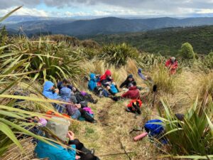
We stopped for lunch near the top of McQuilikans where the bush gives way to more open and flaxy terrain.

The pigs had obviously been foraging along much of the lower part of the track. As we hit the Firebreak for the second time the wind had picked up. Some of us took the direct route back to the Bull Ring, while others completed the loop walking the Flagstaff/Skyline walkway.
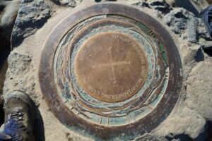
Gwenda set a cracking pace belying any concession to her age.
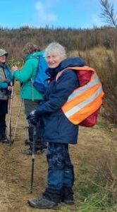
HAPPY BIRTHDAY, GWENDA
8. 10/3/2021. Trampers. Possum Busters circuit. Leader: Arthur.
Our special tramp up and over Maungatua today had to be postponed due to the rain.
But 7 keen trampers turned up at the carpark, and weren’t going to be put off by a little dampness, so we substituted a tramp to Whare Flat, doing a circut taking in Possum Busters, Lower Swine Spur, and Smithys Tracks.
We set off in very light rain, from the south end, to explore most of Possum Busters, which is a bush track.
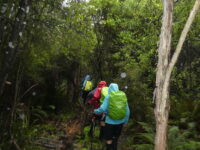
By smoko time the rain had gone, and we stopped in a small trackside clearing for refreshments.
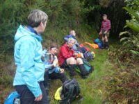
There was no hurrying today, and we were able to enjoy the great variety of trees and ferns as we wended our way.
Eventually we came to the Swine Spur Track, …
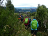
… and followed it down to have a leisurely lunch …
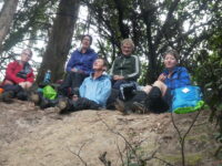
… at Lake Whare.
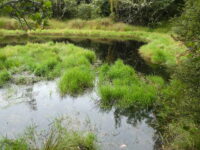
The final leg was on Smithys Track, with some climbing to do. Not hurrying, we came back on Possum Busters again, which left us with a 20 min walk back to the cars, where we arrived at 1.30 pm. 8 km was the distance we had covered on our very enjoyable tramp this day.
The light rain had re-appeared by no, and got heavier as we returned to Mosgiel, where it was teeming down. A visit to Blend was very welcome, and enjoyed by all.
Today’s group had seen first hand the great track clearing that Neil Morrison and his helpers have been doing in the area.
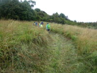
Thanks Neil and Co. – Arthur.
7. 30/10/2019 Trampers. Porkys/Jim Freeman Leader: Arthur
A well planned tramp!!!
Previous days there had been some heavy rain and Arthur took on the task of planning a good tramp, even with a bad weather report for the day. He decided to take us on reasonably dry tracks. The Jim Freeman track was the choice. We wandered along a pleasant track finally reaching Ben Rudd’s shelter for morning tea.
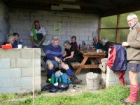
The track then headed up to the ridge to meet the Flagstaff Swampy track. The sun was shining with a steady breeze.
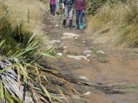
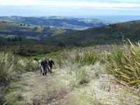
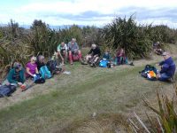
We followed Porky’s track down to Possum busters track and finally back onto the Jim Freeman track – there were a few damp spots! And back to where we started.
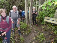
Coffee was planned for Blend. We were all having our coffee and snacks when an enormous gust of wind came with heavy sleety rain which blew a tree over next to Blackstone coffee bar. This provided the icing on the cake!! Plenty to look at and plenty of advice while it got cleaned up.
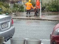
Well planned Arthur!!!Dave
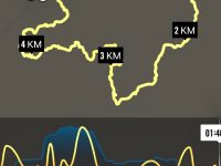
The Hikers wished to inspect the work that had been done over the last couple of years by the Track Clearing Group, from our Club. Today’s tramp gave them that opportunity.
The clouds remained low all day, but it wasn’t cold, and no rain to be unpleasant.
A combined group of 20 Hikers and Trampers departed Mosgiel on time, and travelled up past Whare Flat and parked a little way up Rollinsons Road.
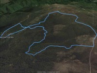
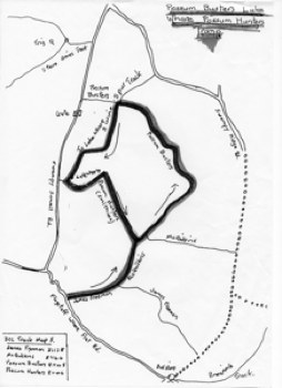
The plan was to do a circuit, taking in the following tracks (or parts thereof) – Swine Spur, Possum Busters, Smithys and the Lake Whare Loop – all being in the bush below, and to the south-west of Swampy.
If possible, it is always best to do the hard work first, so it was up Swine Spur at the start. This is an uphill track, gently up in the swampy “cutty grass flats” area at the bottom, and again further up.
The bush area halfway is the worst, with several good uphill scrambles to contend with. After negotiating this it seemed like a good idea to have morning tea …
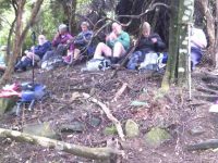
… and let all have a rest.
Continuing up the ridge we were out in the open, but the low cloud restricted any view. Very soon we came to the junction with Possum Busters, where we could admire the excellent track signs that Ian Hebbard had made – they would be at every junction that we came to on today’s tramp.
We turned right now onto Possum Busters track which still trends slightly uphill for a little before following the contour and descending later. The track was in good order although it crosses a couple of creeks and there were several very wet swampy patches …
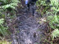
… to negotiate.
We passed the bottom ends of Porkies Track, and later McQuilkans.
(By the way, you can find a map of the day’s travels on page 5.08 in Antony Hamel’s book. Not all tracks are named on his map.)
Soon after passing McQuilkans we had to cross Sligos Creek twice and were soon at the next track junction.
Once again we turned right, now on Smithys Track. It is an “interesting” track with many changes of direction, and is somewhat rougher with several steep, …
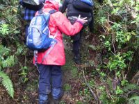
… but brief climbs or descents, requiring care. We took our time, there being no rush.
At twelve, we came to a suitable lunch spot. There was room for all to sit beside the track where it was more open to the sky. Quite pleasant in fact.
Lunch consumed, it was onward once more. Along and down. We passed the top end of Steep Track, before eventually turning right to find Lake Whare.
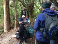
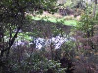
Nice tracks to walk along in this area. One duck moved quietly across the placid waters as we arrived at the lake for a brief rest spot.
Not far now. Around the Lake Whare Loop track, we saw the stone ruins (house?) and the stone wall. Only a few hundred metres more and we emerged onto the road back at our cars.
The whole group had successfully completed the day’s tramp, although it would have been tough for those more acclimatised to street walk. But WELL DONE everyone. And I hope you had all appreciated the track clearing that our members had done.
My special thanks to Neil M., in fact to both Neils, for tagging along at the back to keep the troops moving today. Bruce’s machine records the day’s distance at 6.63 km.
As all the Hikers’ tongues were hanging out, a fast trip to Wal’s …
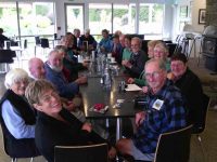
… was needed to revive them, the Trampers joining them as well. – Arthur.
6. 20/7/2016. Trampers. Bullring – Swampy Summit Circuit. M. Leader: Arthur.
A further five minutes took us to the top of the track down to Ben Rudd’s Shelter, which we inspected …
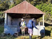
… before continuing down the Jim Freeman track.
And so it came to pass that we ascended Porkies.
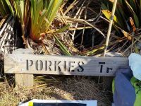
Someone had recently made a very good job of clearing this track. As we climbed gently, as the track does, I’m sure that I heard several comments behind me, to the effect that “This is too easy, I wish we had gone up Swine Spur instead, etc, etc.” But perhaps I was mistaken.
We turned off to join the Pineapple Track and followed it to the summit of Flagstaff.
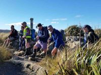
A cold wind was blowing here so we didn’t linger long to enjoy the scenery.
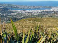
Down hill into the cold wind for 20 minutes brought is back to the Bull Ring at 2.20 p.m.
5. 23/12/2015 Trampers. Swine Spur, Swampy Ridge, McQuilkans, Possum Busters.
There were 4 trampers on today’s tramp into Possum Busters territory. We started by climbing all the way up Swine Spur to the Swampy Ridge road, with a stop for morning tea at the junction with Possum Busters. We then walked along Swampy Ridge Rd. to the top of McQuilkans track, where we had a short break before going down there, & back across the creek onto Possum Busters track, where we turned right, & walked up to the junction with Porkies track, where we had lunch. Then we walked all the way around Possum Busters, past where we had morning tea, & out to Rollinsons Rd. above the locked gate. It was then just a short way back to the cars that were parked further down by the bridge.
A good walk after yesterdays track clearing effort, & an opportunity to see what lies ahead of us for track clearing the rest of Possum Busters, & the bottom end of Swine Spur. – Ken.
4. 19/8/2015. Trampers. Flagstaff McQuilkans Possum Busters.
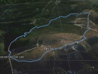
After having morning tea at the Rock Bivvy, we walked along to the joining track, which takes you over to the track leading up to Swampy Ridge Track. This had also been attacked by the dozer, & was VERY muddy & slippery, sending some of us into skiing mode on the downhill sections. I think we all made it along to the top of McQuilkans Track without falling over in the treacherous conditions.
We had a short stop here to discuss what we would do for the rest of the day, & it was decided to go down McQuilkans & find somewhere to have lunch in the sun. So we set of down this newly cleared track [thanks Green Hut Group]] had lunch at a semi-dry/sunny spot,…
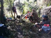
…then negotiated the creek crossings to end up on Possum Busters track. Here we decided to head out onto the Flagstaff/Whare Flat Rd. walk up there to the bottom end of Big Rock Track, & go up there to Ben Rudd Shelter. We found the entrance to the track, where Ian H had put in a sign, but it wasn’t long before we lost the track, & despite a bit of a search for the correct way up, we gave up, made our way back to the road & walked up there back to the Bullring.
The weather was perfect, with hardly any breeze, & a good temperature. Although a short walk, it was enjoyable. – Ken.
3. 13/10/2010. Trampers. Jim Freeman, Swampy, McQuilkan, Possum Busters, Lower Swine Spur, Smithies, Lower McQuilkan. Leaders: Ian, Ken.
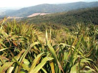

3. 14/9/2005 Swampy Circuit: Possum Hunters, Possum Busters, Swine Spur, Swampy Ridge, Fire Break, Jim Freeman. Leaders: Ian, Hazel
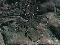
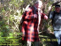
2. 27/8/2003. Trampers. Lwr Jim Freeman (frmly Smithies), Lwr McQuilkans (frmly Possum Hunters), Possum Busters, Lwr Swine Spur, Lake Whare, Smithies (frmly Possum Hunters). Easy. Leaders: Ian, Evelyn C, Graham.

