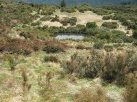
8. 27/3/2019. Bush Tracks. Swampy. Arthur.
The day was overcast and cool.
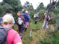
Morning tea was taken almost at the top of Swine Spur, after the hard climbing was done, …
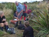
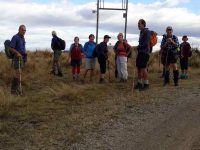
… and with a good view.
As we started down Porkies
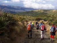
low cloud began coming in from the city side over the ridge and on Flagstaff.
7. 8/11/2017. Trampers. Swine Spur. M. Leader: Dave.
Last Wednesday’s tramp could have been called a number of names and probably was!!
(a) Swine spur – was it the pig rooting or the steepness of the trail in a gale?
(b) A walk on snow in wintery gale conditions in November or
(c) How many differently named tracks can you do in a day?
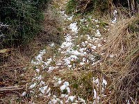
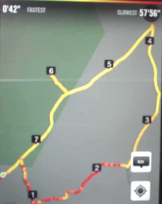
Ten keen trampers’ left the car park having some idea what the weather might be like for the day ahead. We parked in Rollinson’s road just below the bridge adjacent to the entrance into the bush with the sign ‘swine spur’. The bushes and trees were wet from the rain the night before. It was pleasant walking through the Kanuka with lots of clematis flowering. However it wasn’t long before the colour of the track resembled the colour of the clematis! SNOW WHITE!!
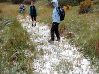
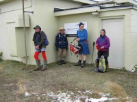
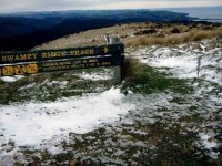
As we wandered up the track the snow got thicker and the wind got stronger. We decided to have morning tea in the last bit of shelter before the track upwards became exposed. The wind was very strong – we could just stand up! Keeping together we supported each other, through flax and dracophylum, up to the top to the green building on Swampy. The wind was so strong that there was little shelter even behind the building.
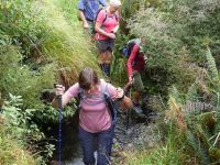
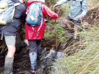
A very short break and then we followed down ‘swampy ridge road’ until we reached ‘Porkys track’ – this faced into the gale. We slipped and slid where the snow lay on the grass. Gradually we headed down to where the shrubs became trees. After a while we came to a track junction and then followed ‘possum busters track’. There were a number of creeks, full of water, from the rain the night before. To cross – you had to get wet again!
A welcome lunch was had amongst the trees in the shelter.
It was then on to the junction with ‘smithies track’ which we followed for a while through attractive natives. ‘Whare Loop track’ was then followed to Whare lake.
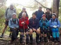
At this spot the Maoris of the past used to soak the flax in the lake – later making both twine and linen. See Flax in New Zealand – Wikipedia. The remains of a stone house were inspected before completing the loop and out onto the road where the cars awaited. A distance of approximately 10.2 km was covered.
The group decided to go for a well, deserved coffee at a usual coffee shop but alas the power was off, probably because of the winds. We soon found another where we recounted our adventure which was enjoyed by all.
Many thanks to Neil M and Arthur for the track clearing they have done, this was very evident. Others have volunteered to help them.
– Dave M
6. 12/3/2014. Trampers. Rollinsons Rd, Swine Spur, Swampy Ridge, Rollinsons Rd, Picnic Tables, return to cars.
At the car park, the trampers lacked a leader knowledgeable of the Swine Spur track programmed for the day, so this hiker was dragooned into going with them, with his traitorous act objected to strongly by one of the hikers (who shall considerately remain nameless) with his friendly invitation for the writer to never go with the hikers again.
A careful inspection of the access road roadside eventually elicited the heavily grassed over entrance to the Possum Busters track. We made it through Manuka-Kanuka wood and the two steep guts of Mckenzie Creek and the other unnamed one, to stop for the cuppa at the traditional stop at the intersection of Possum Busters and Swine Spur tracks.
Then we turned left up the Swine Spur through the easily graduated track that was to inevitably bring us to the foot of the near vertical strenuous climb to Swampy Ridge roadway.
A word of appreciation here of the sterling track clearing from the route of all the impedimenta the once-in-a-life-time wet snow storm of last August brought down across it. Bravo, you track clearers! It was obviously a massive job.
Anyway, we reached the small concrete-block aerial navigation building sitting there at the top and turned left along the road to pass the Airways Corporation combined VOR (VHF Omnidirectional Radio) and DME (Distance Measuring Equipment – where’s an easier name?) setup to head down the access road. We forewent going on through Swampy to Hightop, as had been programmed, indulging in an easier day instead. (A concession to the hiker, the writer suspects.)
Well, that was to be just a boring road walk back to the cars, but most pleasantly interrupted with a lunch stop at the 0ld-trampers’ picnic area at the head of the Steve Amies track. With all the time in the world, we just lazed there around the tables before eventually deciding to head back out and down to the cars. We arrived back at the car park BEFORE the hikers! One for the record book? – Ian.
5. 20/10/2010. Trampers. Rollinsons Road, Possum Busters, Swine Spur, Swampy Ridge, Rollinsons Track, Rollinsons Road. Leaders: Ria, Hazel.

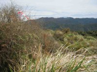
4. 15/3/2006. Trampers. Rollinson, Burns, Swine Spur. Medium+. Leaders: Doug J, Ian, Shirley.
3. 30/4/2003. Both. Access Road, Rollinson Track, Swampy Saddle, Swine Spur Track. Medium+. Leaders: Ria, Bill and Pat, Denise, Anne R.
2. 19/9/2001. From Access Road, Rollinsons Track, Swampy Saddle, Swine Spur Track. Medium. Leaders: Ria L, Doug and Myrie, Joyce.
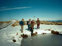
1. 6/7/1989. Frozen Tarn on Swampy.

