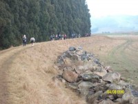
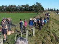
The Weather frosty cold to start ,then clear calm and pristine. An enthusiastic group of tramping club members 54 out walking in total.Some even cycled down from the Bush Road carpark to Alan and Kerry’s home. Here we were greeted by inquisitive Llamas.
We spread out through boggy farmlands with the bonus of country smells to accompany us on the way.
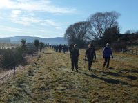
We followed some of the Taieri waterways onto the floodbanks which have over the years saved farmlands from being completely destroyed/submerged in floods. Alan had some photos of the extensiveness of the flooding over the years.
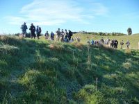
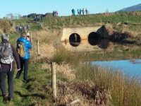
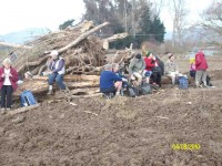
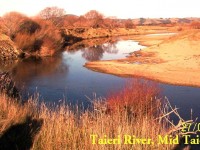
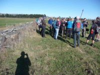
Morning tea was held beside the Mill stream pump house. The stream flows into the Taieri river. The river was full and very discoloured.
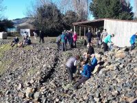
From here we split into smaller groups depending how far people wanted to walk back to the party house.
Overall walking distances ranged from the Ramblers’ ramble to the longest distance approx 10 kms and then a ride home for them.
Alan had vehicles placed along the way to get all home by about 1 pm to be together to share Doug’s 90th birthday lunch. A real party lunch shared by all including some of our members who like to be involved with activities but not always able to join us on some of our weekly outings.
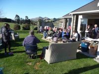
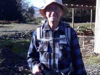
Helen Morris spoke about Doug
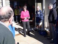
– out most Wednesdays a very busy man with an immaculate house and garden, a perfect gentleman, and a great bagpiper and ball room dancer. Always wearing shorts!
A big Thankyou to Alan and Kerry hosts extraordinare for providing an idyllic location and perfect weather (hardly a breathe of wind ). We wish them well for their overseas trip next week and look forward to hearing of their experiences.
Jill on behalf of the club.
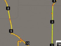
Twenty-five of us started along Riverside Rd from cars parked at the end of Dukes Rd. Turned left into School Rd. At about the 3.3km mark (a tiny swiggle on the map) Peter let us in through a combination-locked gate to the Dunedin Model Aero Club site and welcome bench seats …
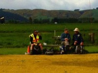
… upon which to enjoy morning tea. One of us preferred …
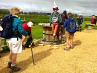
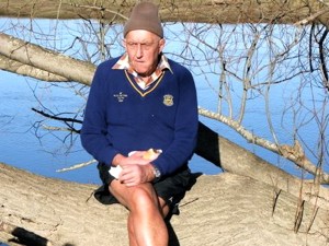
… sitting on a table, rather fancying himself in his newly acquired piece of headgear.
As we were walking back out onto School Road, Leader Peter told us in interesting detail the history of the road, originally the Mosgiel-Outram railway route. The raised bridge over the Taieri River necessitated a fully-laden passenger train locomotive stopping and waiting for twenty minutes to get up enough steam to get its load up and over. School Road was the most difficult part of the line to construct. Hector told us of the need of a foundation of flaxes to first undergird the permanent way over the Taieri swamp. At road’s end, we followed the old rail bed as it veered right and led us to the Taieri River flood bank, alongside an interesting flood gate structure, designed to release flood waters into the flood plain alongside when needed to alleviate flooding elsewhere.
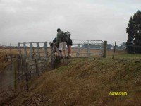
Making our way alongside the river, we had to negotiate a tricky fence, armed with live electric (fortunately the stretchy kind) wires on either side. Eventually, we were able to carry on. Arriving near the river’s confluence with the Silverstream, we perched ourselves alongside the latter …
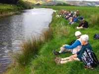
… for a leisurely lunch. Fortunately the wind abated for the while we were there.
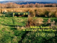
Up and along the Silverstream’s true right floodbank, under the Riverside Road bridge and on to a heavy flood gates structure protecting a large drainage ditch at the lower corner of the McKay’s Triangle Wildlife Management Reserve from flooding back.
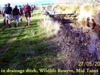
We walked along the ditch’s true left through luxuriant spring grass freshly tracked by some vehicle’s wheels, a boon denied the leaders who had to brave the reserve completely lacking track indicators to keep them free of boggy underground. Along the way we passed by
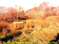
a lake, adding to the scenic variety of the reserve. We persisted up along the aforesaid ditch, seeking yet another lake that unfortunately failed to materialize. So back down to enter in via a mai-mai to circumvent the beautiful Lake Kate, …
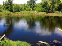
… unseeable from the track. Thank you leaders, for finding the way into this hidden jewel for us.
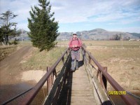
We were then cleverly led by twisting track and footbridge out to the other major track, this one bordering yet another drainage ditch set at right angles to the other. This led us in straight alignment with Duke Road, virtually its paper road extension, back up to the cars again.
Thanks to Peter and Lesley for a carefully planned trip with the McKay’s Reserve as a surprising cherry at the end. – Ian.
A good day, with both groups together and 23 setting out. – Ian
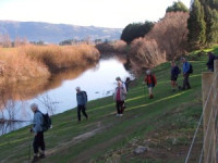
A perfect winters day for the 20 hikers who parked their cars at the end of Dukes Rd to enjoy awalk on the roads and farmland on the Taieri Plains. We went along Gladfield Rd to School Rd where we found a spot to sit and have our welcome morning tea break. Off down School Rd for a short distance then on to farm land. Across paddocks, along stop banks, making the most of the beautiful sun and scenery which made this an especially enjoyable day out. Sat and had our lunch in a very pleasant spot amongst trees and near the Silverstream.

Then it was across more paddocks, over a ‘swing’ bridge and back to the cars. Not a hard hike but one everyone enjoyed very much. – Bev
Park end Dukes Rd. Straight ahead SE to McKays Triangle Wildlife Management Reserve. (Seek permission for this part, although paper road.)


