
 25/06/2025. Grahams Bush, Organ Pipes, Buttar’s Peak. Grade 4. Trampers. Leaders: Phil Morris, Rod Ward.
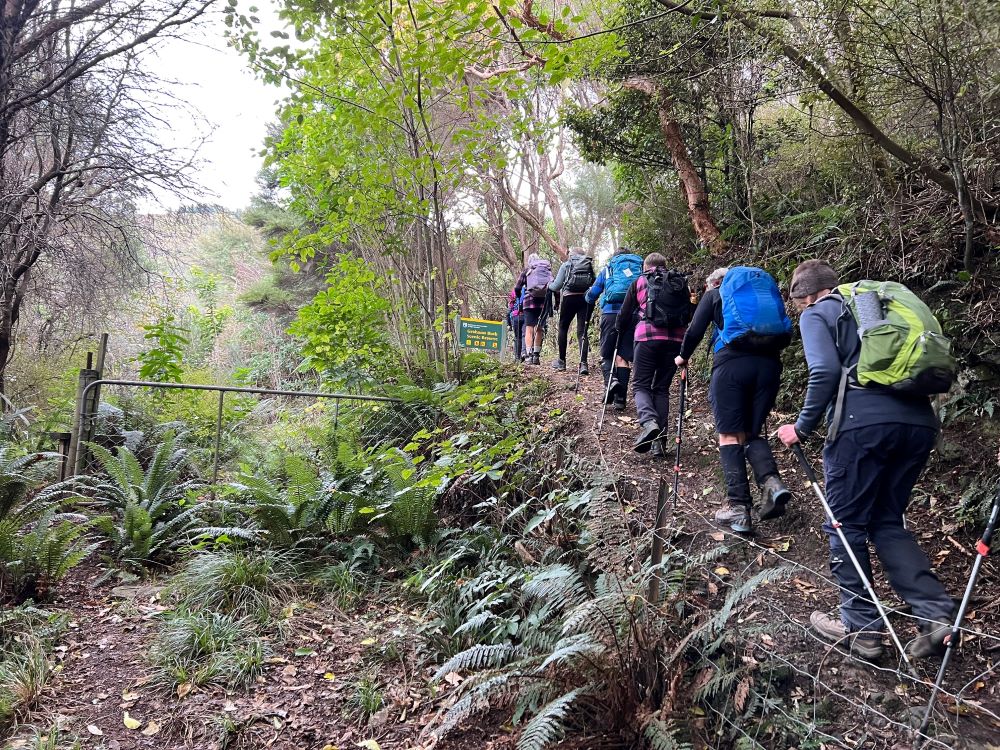
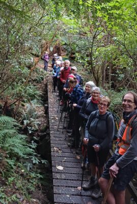
We left 9.30 from PJ Park travelling to Sawyers Bay, to end Hall Road, meeting up with townies with really good numbers (26) at 10.10am.
The track passing Iconic farm was in good condition thanks to track clearing group and the first 30 minutes was very nice.
We then got a bit more energetic, climbing up on the side of stream and then crossing same.
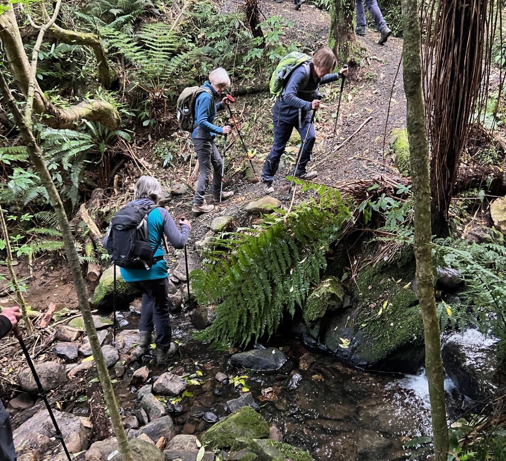
It is sheltered and well maintained and a good day if weather is wet or windy. The forest was manuka but higher up we could see Rimus and Miro they had survived logging due to poor shape and is now regenerated forest.
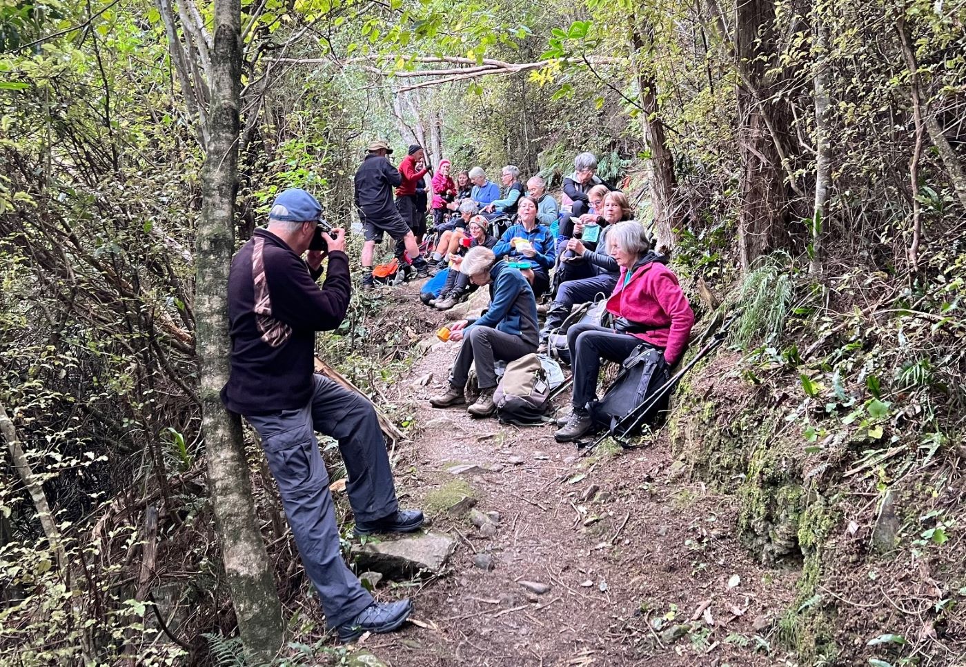
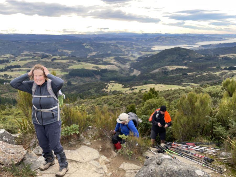
After morning tea, we got to a bridge and thought this is not too bad, but spoke to soon, we then climbed 800 metres zigzagging in elevation 250m out onto Mt Cargill road and entrance up to the Organ Pipes. A break of 10 minutes to catch breaths. We climbed steps, using many of broken basalt organ pipes, an elevation of 100m, the group arrived at a clearing which viewed the entrance to harbour and a good lunch stop.
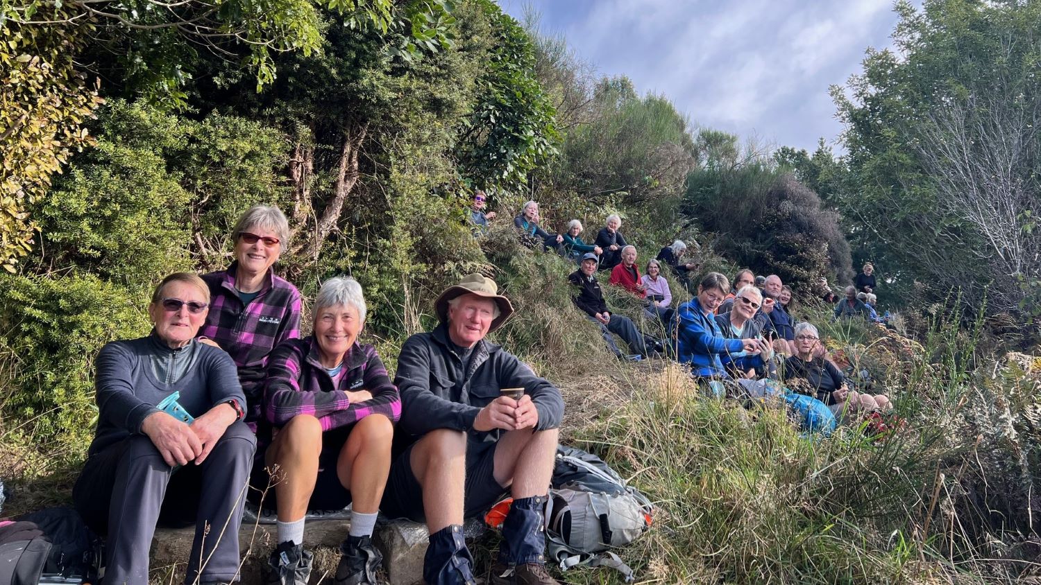
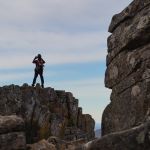
As most of climbing was done, it took 15mins to arrive at Organ Pipes (geological Basalt Pillars). The wind had picked up a bit but those that had not seen these, checked them out with some good viewing whilst the rest continued 150 metres to Buttar’s Peak.
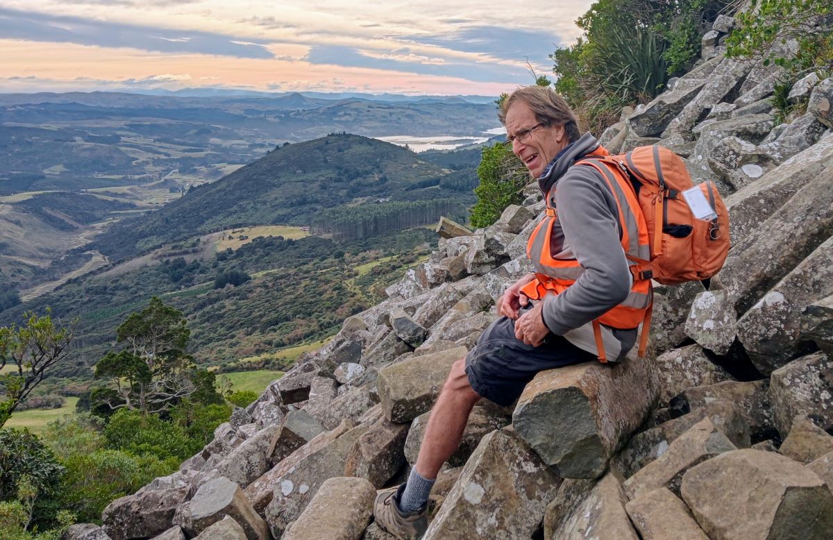
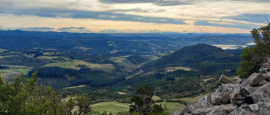
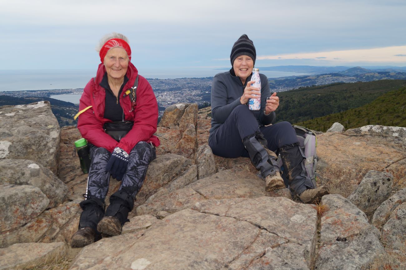
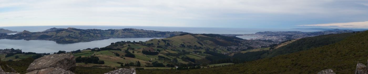
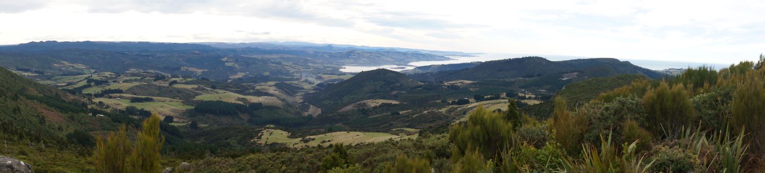
When we had all regrouped, fifteen climbed 50 metres up onto Buttar’s Peak, “wow a 360 deg” view as far as Saddle Hill and Lake Waihola South West, out to St Clair hills South, Rock and Pillars West, snow on hills to North and of course below us the Organ Pipes.
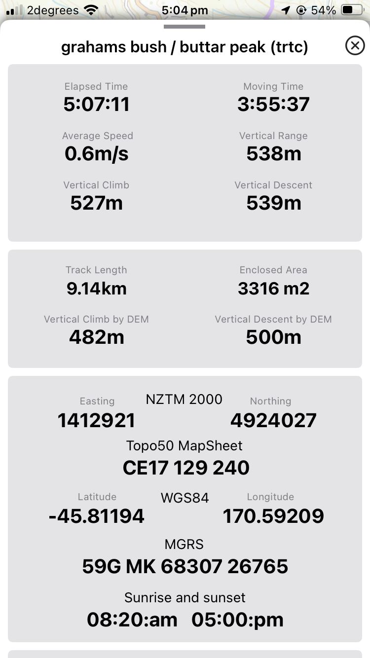
With stops excluded, the tramp up took 2hours 50mins. We returned on same track in around 1hr 45mins. Two students passed us at lunchtime, and a good group from Bayfield School on way down.
Unfortunately, Upper Junction was closed to traffic so no afternoon tea at “Grocer” Blacks Road was had, due to time frame.
Cheers Rod Ward and Phil Morris
Elevation 374m onto Mt Cargill Road, across to beginning of Organ Pipes Track, another 126m taking Total elevation to 482 metres. Dist 9.14km, time taken 4.25hrs.
Link to background information and earlier tramps and hikes in the same area.