
 28/08/2024. Ross Creek and Davies Track. Grade 4. Trampers. Leaders: Ross Davies and Sarah McCormack.
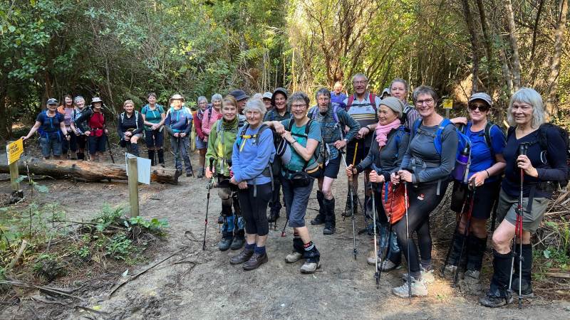
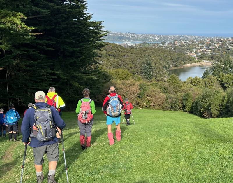
There was a throng of people in Malvern Street in Woodhaugh by the time the leader arrived. It was a sunny and calm morning, and the throng numbered exactly 27 keen people. Interestingly, as the day wore on, the number diminished, but always exactly
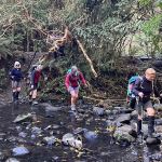
We headed off along Woodhaugh Street for 100m, then onto the track that heads up beside the Leith, then crosses it, and Ross Creek, to join the main track up Ross Creek.
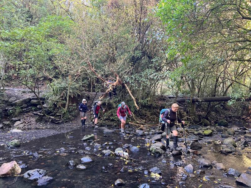
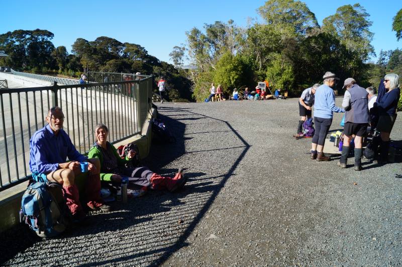
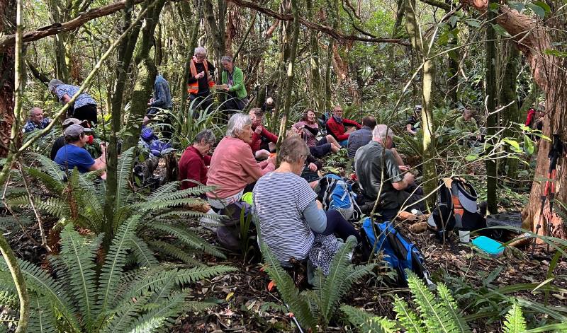
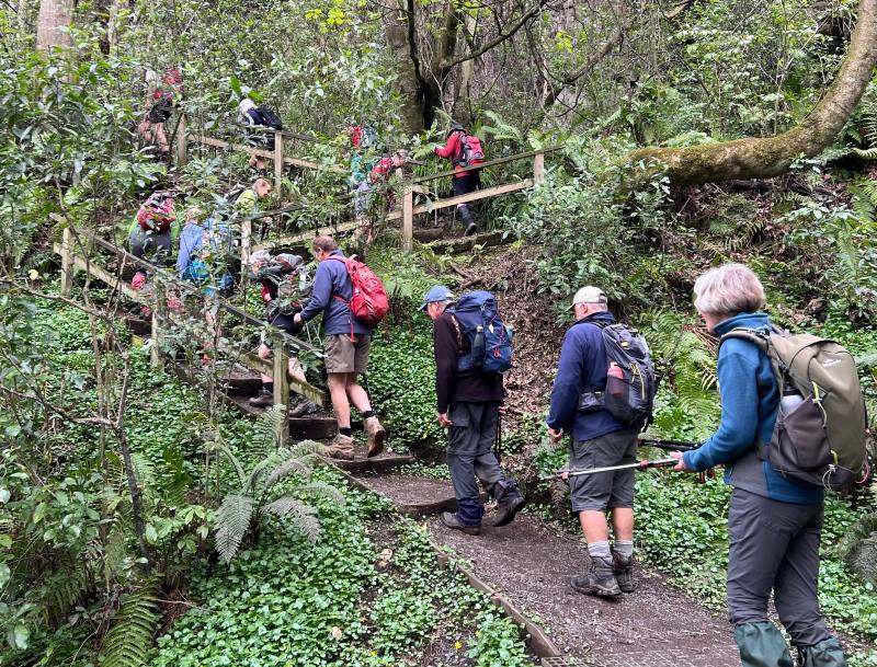
At the Junction with School Creek (we know this thanks to all the nice new helpful signs) we crossed the creek and headed up the track beside School Creek. This goes past the lovely waterfall, through the lovely forest, across a road, and further up the creek to near the golf course. From here the track zigged back towards the Ross Creek Reservoir dam, and we stopped there for morning tea. We enjoyed Gwenda’s birthday shout, and the warm sun.
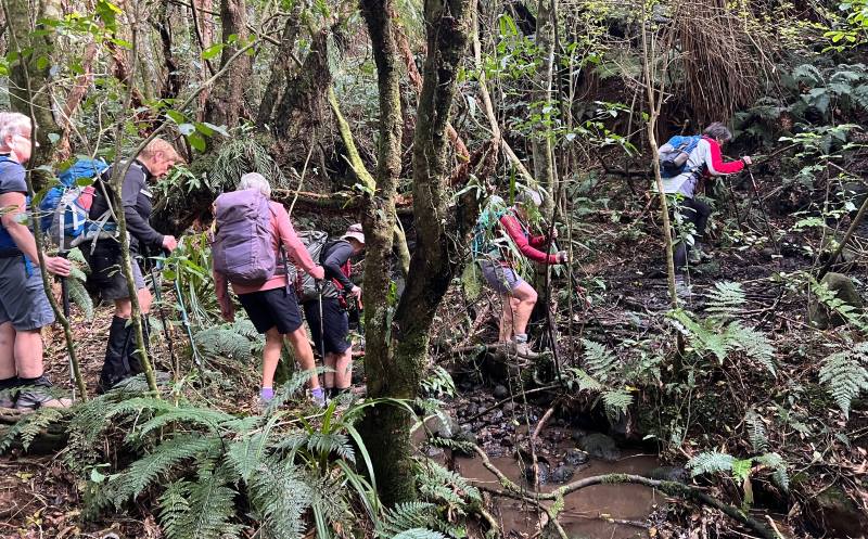
We couldn’t linger though; places to go and riddles to solve. We continued on past the reservoir, across another road, and into the forest of the Wakari Road mountain-bike park. It was another lovely track beside another lovely stream, then on into the lovely Redwood forest. On some of the bigger zigs and zags we did that interesting thing where the front of the group gets to greet the tail of the group, all while heading in opposite directions. On the other side of the forest, we emerged onto a track that might be called McGouns Road, and paused at what is called the Skid Site, from forest-felling operations decades ago. We farewelled Gwenda and Sandy here, to become exactly 25.
From here at about 5 minutes before noon we started up. Up through some fairly scrubby regrowth on a fairly slippery track, perhaps the Davies Track. Confusingly there are two tracks that head up the side of Flagstaff, roughly parallel, and not far apart. They merge about two-thirds of the way up to the terrace/plateau that runs around the escarpment about halfway up to the Flagstaff Walkway. The one from the Skid site was the one more SW, and it started into the older forest sooner, and the track seemed longer established. It is a nice track, almost unmarked, and requiring a bit attention to keep on the track. We did keep on it, with one minor blemish where the two tracks merged, and soon enough we reached the plateau at 12:30pm and turned off the Davies Track, to the right. Here we stopped for lunch, in a shady grove.
Before we resumed, the riddle of ‘when is a track not a track?’ was explained. Where we were going was not marked on the maps, nor with track markers. The beginnings at either end were indistinguishable. And the track itself is often indistinct, bordering on invisible.
There are differing ideas about names and I’ve always thought of it as Track Nine and Three Quarters. This is a nod to Platform Nine and Three Quarters in Harry Potter – the fictitious train departure platform only accessible by wizards and witches who believe it exists. Track Nine and Three Quarters is a lot like that; only found by those who know it is there.
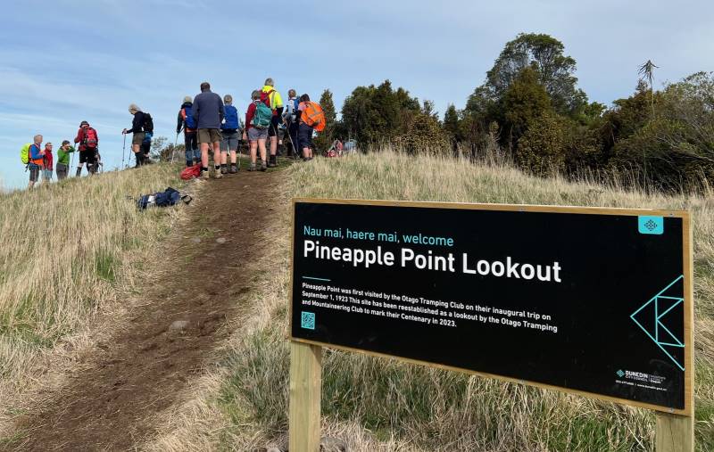
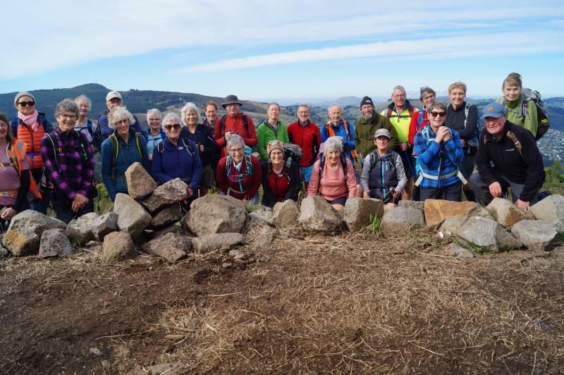
Luckily everyone had faith in the leader, and luckily the leader had done a second recce to correct the blunders of the first, so we made our way contouring around the side of Flagstaff with only one minor blemish. Part of the way is shared with a trapping line with blue plastic markers, but this merely coincides with the track for a while, and then has to be abandoned after a while. Soon enough we emerged onto the old Pineapple Track which looked like a highway, and it was only a couple on minutes up to emerge from the bush onto the Pineapple Track at the seat lookout at Pineapple Point.
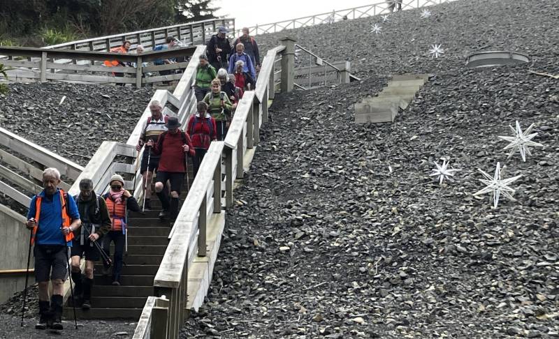
Then it was down, down, down to the bottom of the track and Booth Road. We farewelled exactly three more of our number here; something about service club meeting and gin? And the rest of us crossed the roads to the top of the Ross Creek area and headed along through Craigieburn to admire the old cow byre stones and reminisce about Lester’s fudge morning tea a few years back. Then more down, down, down; to the reservoir and Ross Creek below.
The leader insisted on staying off the streets towards the end, resulting in a minor attempted mutiny once it was realized this meant one more hill to get down the valley.
This took us past co-leader Sarah’s mobile home and she relinquished her co-leadership here. Thanks Sarah for stepping in, and helping keep us all together. It was a day where it was important to keep together and we did – thanks everyone for looking out for everyone. Soon enough, just before 3:30pm, we arrived back at the cars, exactly 21 of us – I think.
It was a day of adventures, big and small.
It was a day of fun, thank you all.
Ross
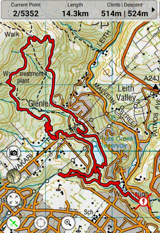
Link to background information and earlier tramps and hikes in the same area.