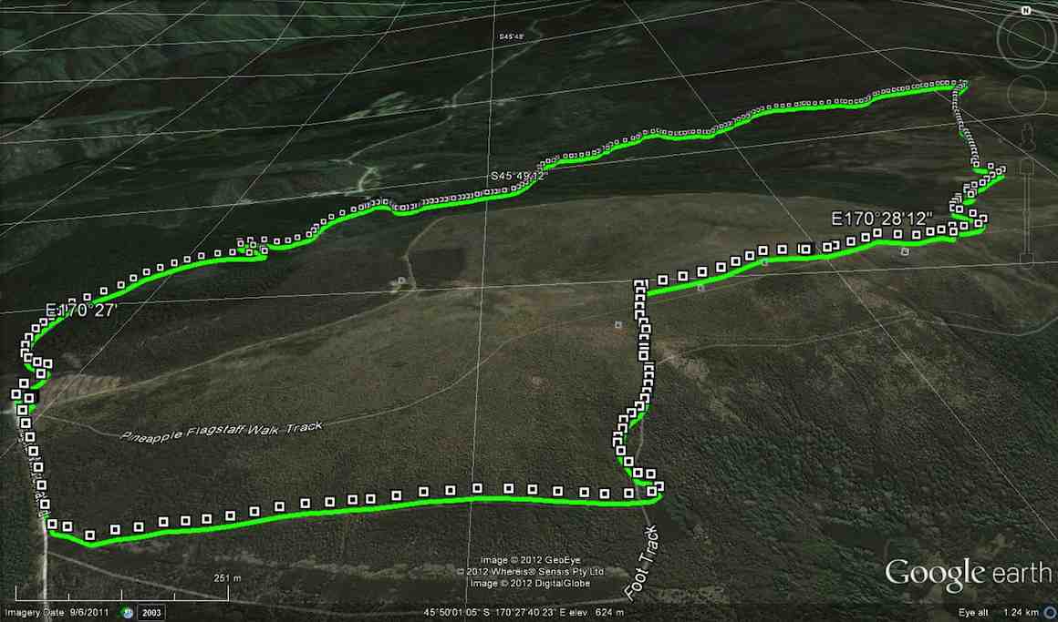
Only 4 trampers went on this walk, which was very uneventful, until we couldn’t find the Jim Freeman track going back up to Ben Rudds shelter. We must’ve walked past it but didn’t see it. After looking around a bit we set off back up the road to return to the cars, vowing to do a recce from the top, to find where the Jim Freeman track meets up with McQuilkans track. – Ken.
