May 26 2023
Goodwood Road, Bobby’s Head, Puketapu
4. 24/5/2023 Mt Royal/Bobby’s Head Trampers. Grade 3.5 Leaders Graham Thurlow and Carol Thurlow.
On a calm and sunny winter’s day we arrived at the Tavora Reserve car park.
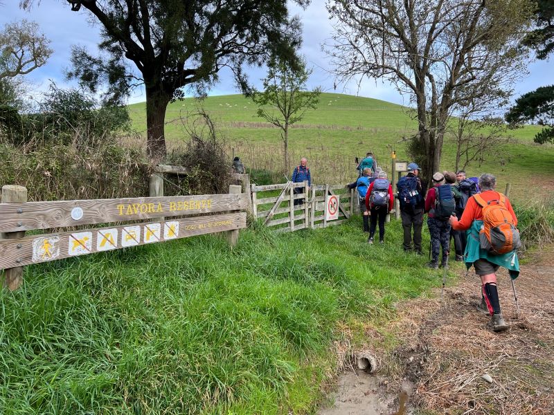
Entering Tavora Reserve. Photo & caption Pam
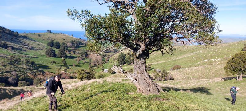
Some of us came via various routes! As we walked along the road towards Steven Foote’s farm and then up the paddocks toward Mount Royal, Graham explained that the Goodwood Rd had been the original wagon road to Palmerston and up to the goldfields through the Pig Route.
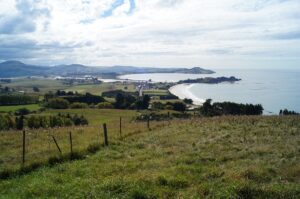
We walked up through the paddocks turning to admire views out to the coast, and the Pleasant River estuary to the southeast.
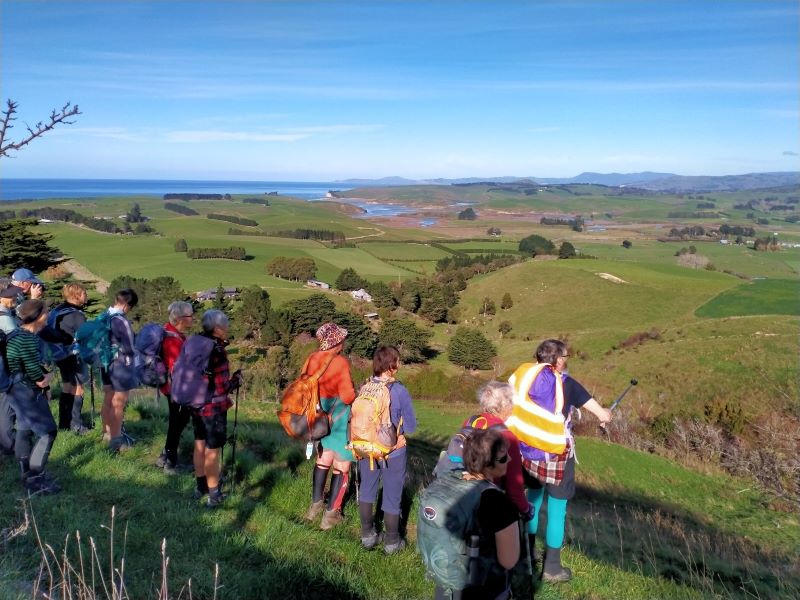
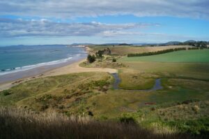
View S over Pleasant River estuary. Photo & caption Phil
Admiring the view back towards the south coast. Photo & caption Pam
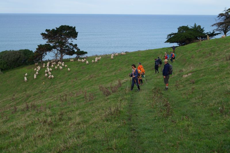
Yes, there still are more sheep than people in New Zealand. Photo & caption John
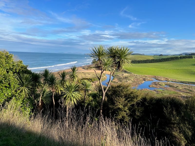
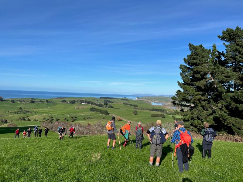
Looking over Tavora Reserve. Photo & caption Pam
Then also looking further up the coast Graham explained that the large homestead on a knob facing west, was built by the Preston family in 1904. Some of their descendants still own Longlands Station inland at the end of the Pig Route as you enter the Maniototo. This house (shown below) was once their winter residence.
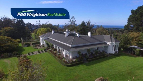
The Homestead (photo taken from a real-estate listing in the NZ Herald)
Then from a point higher up as we entered the valley we looked down on Ireland Road. Graham explained this valley had been occupied by many Irish families. The Kelly’s were the last to leave. We arrived at the Foote family Hut in the valley and had lunch.
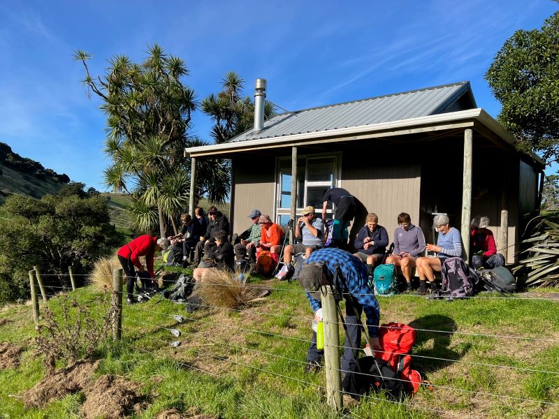
Lunchtime at the cottage. Photo & caption Pam
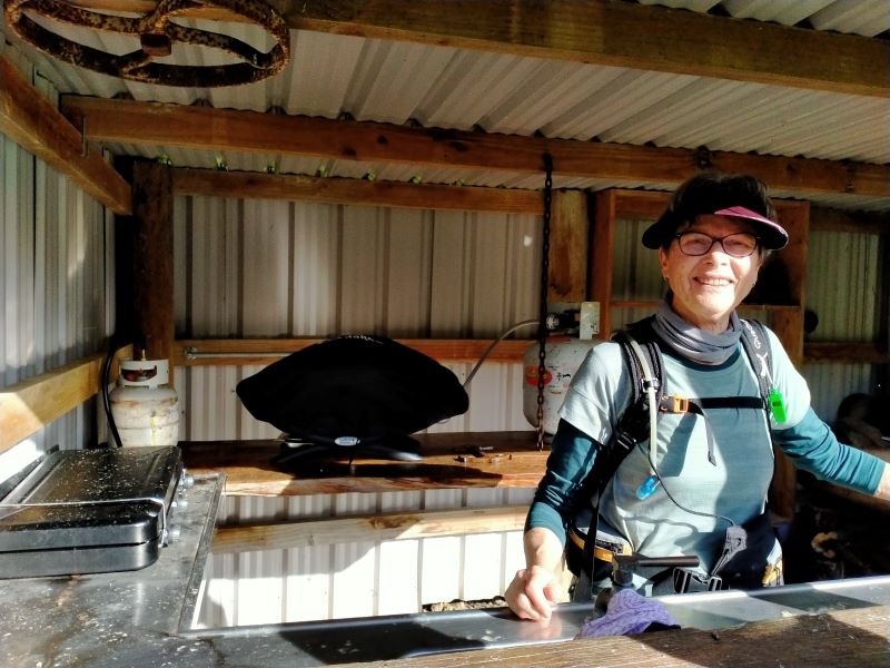
Chef Pam takes lunch orders. Photo & caption Phil
Up, up and more up. Hut in the background. Photo & caption Helen
After that we headed straight up to the Skyline and through the gate into Simon Engelbrecht’s farm. (Formally Graham’s farm). At the top we stood beside the survey Trig marker. We viewed Palmerston below us and up to the north the Kakanui mountain range. To the west were clear views of the volcanic peaks inland from Waikouaiti including Mount Watkin.

Been there done that (Mt Watkin). Photo & caption Phil
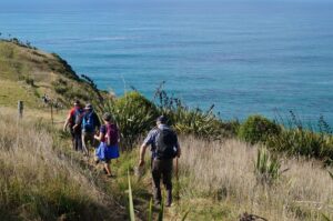
As we walked back down to the coast we observed the remnant native forest still on the farm largely ngaio, broadleaf, houhere or lacebark, totara, matai, kanuka and red matipo. Down Bobby’s Head Rd to the Tavora Reserve around the cliffs we observed seals lazing about in the sun.
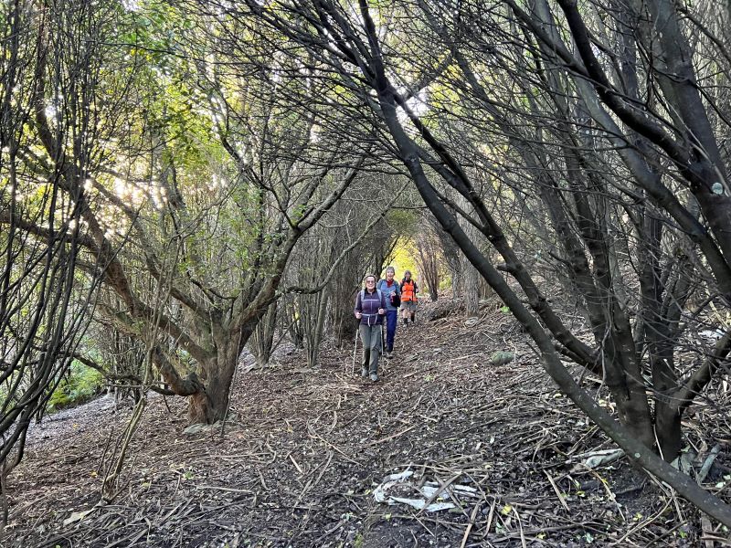
Native bush in the reserve. Photo & caption Pam
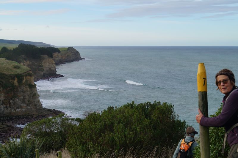
Number 7 Style, lucky for some! Photo & caption John
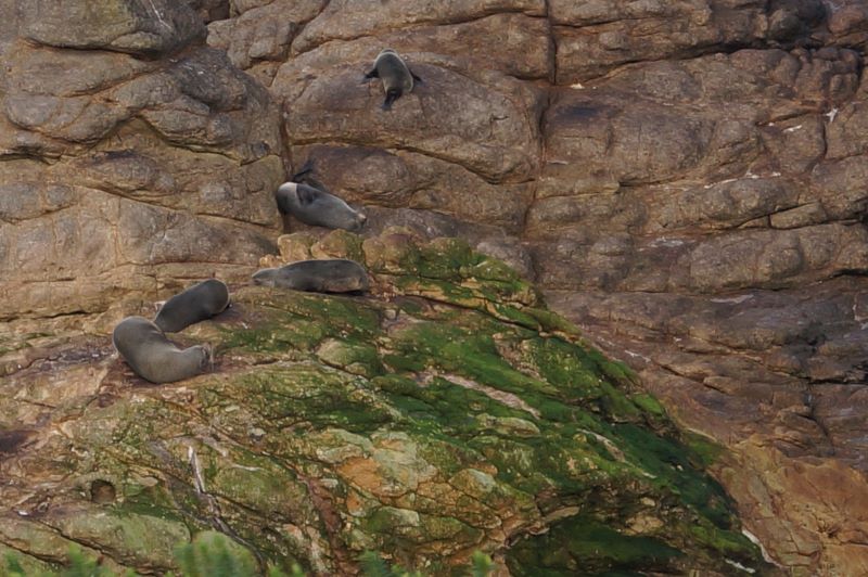
That Fur Seal sleeping on his back will be the one snoring! Photo & caption John
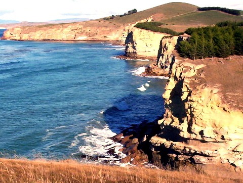
Rugged Coastline. Photo & caption John
Back at the cars everyone expressed their enjoyment to be out tramping again on a good day. Our thanks to Steven Foote and Simon Engelbrect for granting us access across their farms.
31/3/2021. Hikers. Leaders Dave Roberts and John Gardiner
On a pleasant morning with a questionable (two way bet type) weather forecast IE – Mostly cloudy, isolated showers, at 9.50 a.m. 14 Hikers in 5 cars rendezvoused at the Waikouaiti Community Centre. Twelve hikers journeyed from Mosgiel , Dave and I direct from Dunedin. The convoy, led by Jill Dodd travelled north, turning right into Goodwood Road, then right again, into the gravel, Bobby’s Hill Road, to reach the hike’s starting point. We arrived at 10.15 am.at Goodwood Road being South of Palmerston. After a brief warm up walk along a pleasant, grassy track, morning tea was enjoyed at 10.35 a.m. on the Waikouaiti Beach.
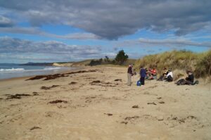
Morning tea on the beach (Photo and caption John Gardiner)
By 10.55 a.m. we were on our way again beginning our circular hike up and around Bobby’s Head. As we climbed we were treated to magnificent views looking South back to the beach and coastline beyond.
What a view. (Photo and caption John)
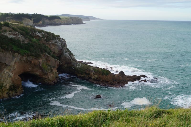
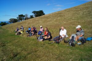
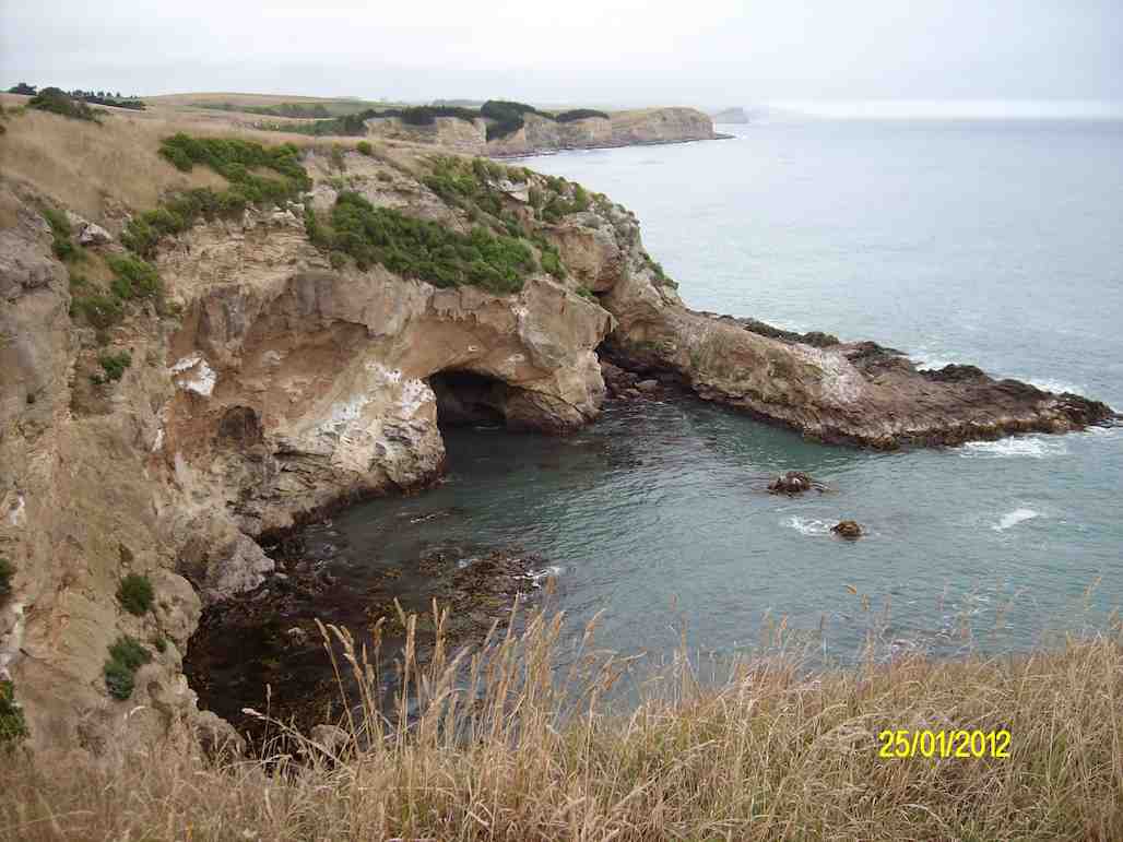
With frequent stops to regroup, a ‘park bench’ halfway up the hill became a resting spot for Clive, Jay, Lester and Shona. Upon rounding the point of Bobby’s Head we were treated to more spectacular scenery. First a cave calved out of a cliff face, later the sight of young Fur Seals frolicking in their crèche, being a sheltered cove.
Rounding Bobby’s Head
(Photo and caption John)
Lunch in the sun
(Photo and caption John)
Sheep on the right, coming for a hike
(Photo and caption John)
Karitane Lookout view
(Photo and caption John)
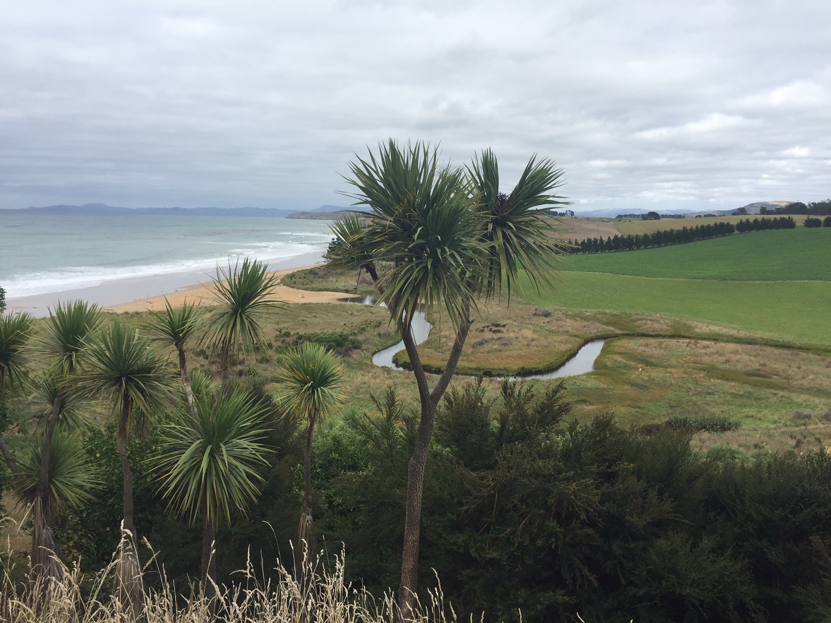
Photo and Caption Jenni – “Stunning views of Tavora Reserve.”

Photo and Caption John – “Rugged coastline.”
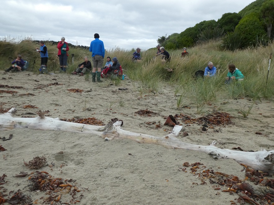
Photo and Caption Gordon – “Morning tea in the sand dunes.
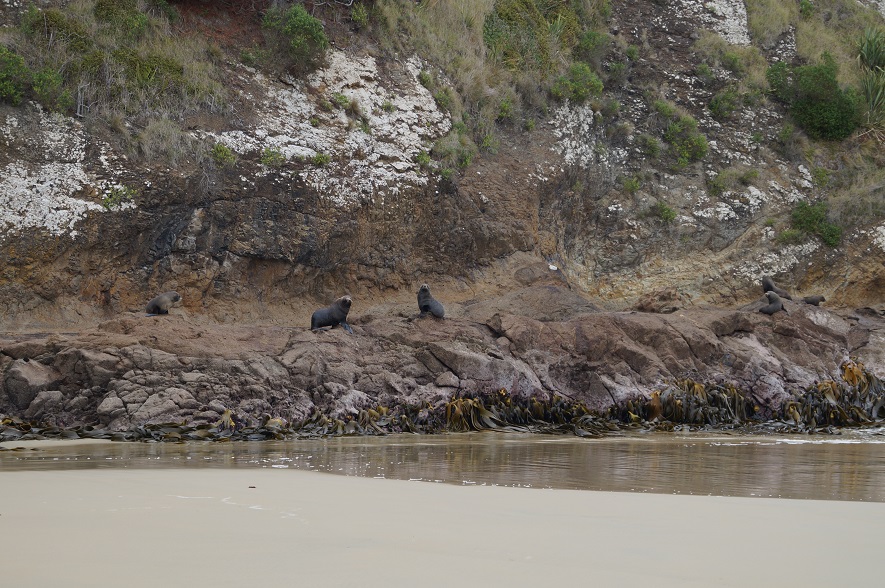
Photo and Caption John – “Seals watching us have morning tea.”
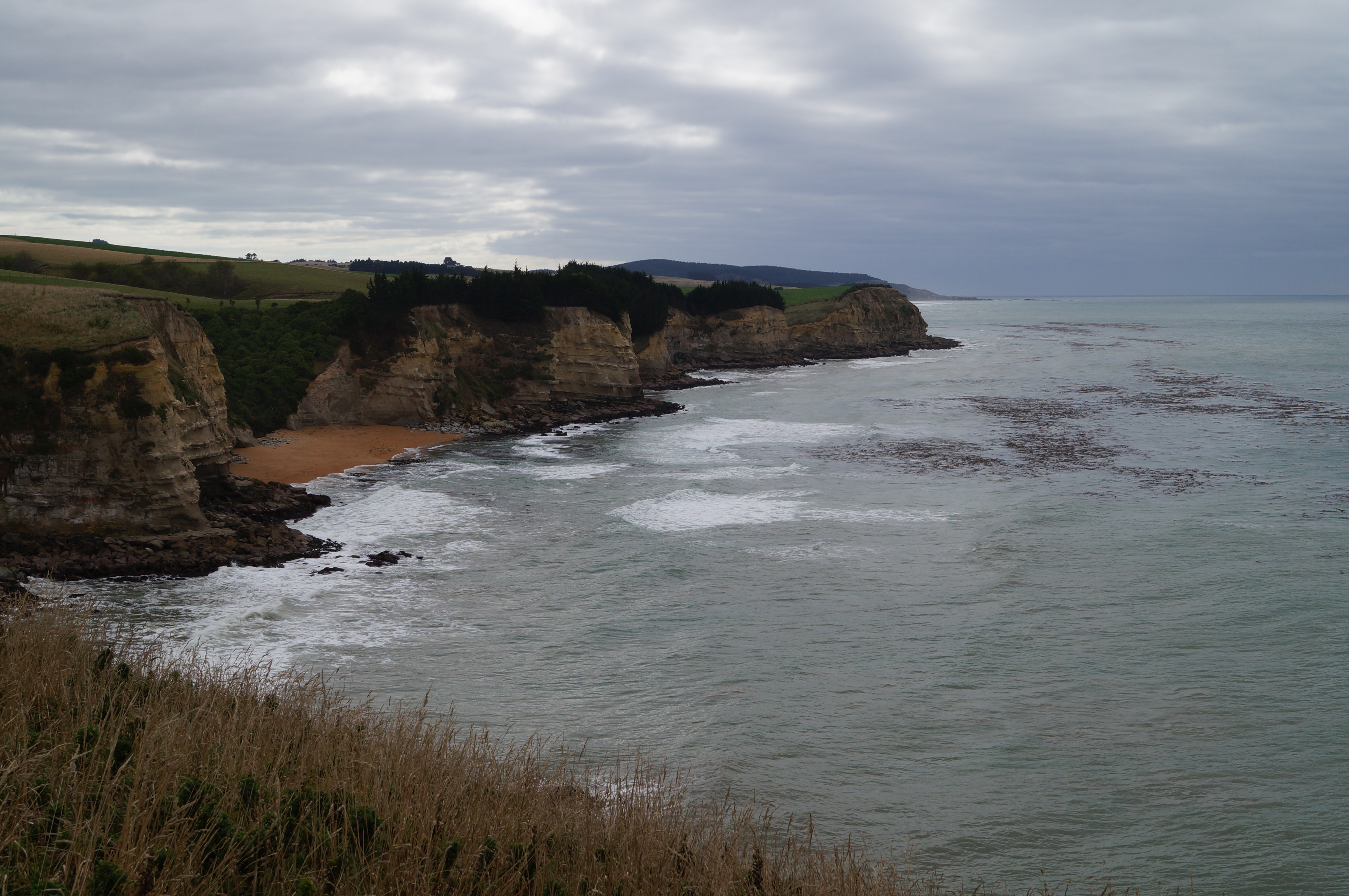
Photo and Caption John – “Erosion like rust never sleeps.”
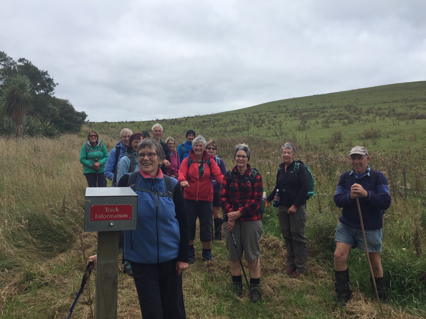
Photo and Caption Jenni – “Returning the information sheet at the end of the reserve.”
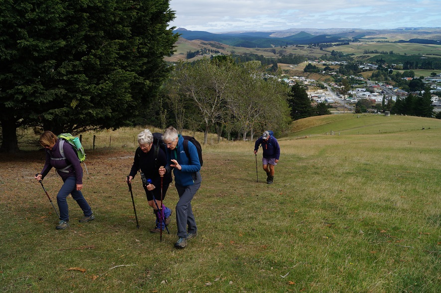
Photo and Caption John – “Starting up Puketapu.”
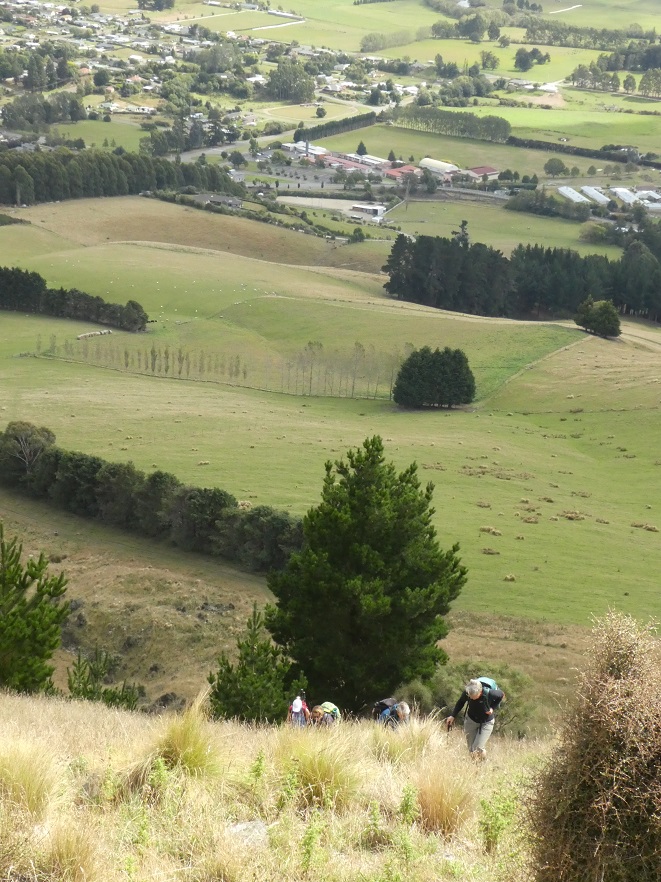
Photo and Caption Gordon – “A real stiff climb to the tower.”

Photo and Caption John – “The McKenzie plaque.”
This monument is 13 m high with an internal metal stairway to a viewing platform. From here there is a superb 360 degree panorama south to the Otago Peninsula inland towards the Pigroot, to the Maniototo and north to the Shag river Waitaki district.
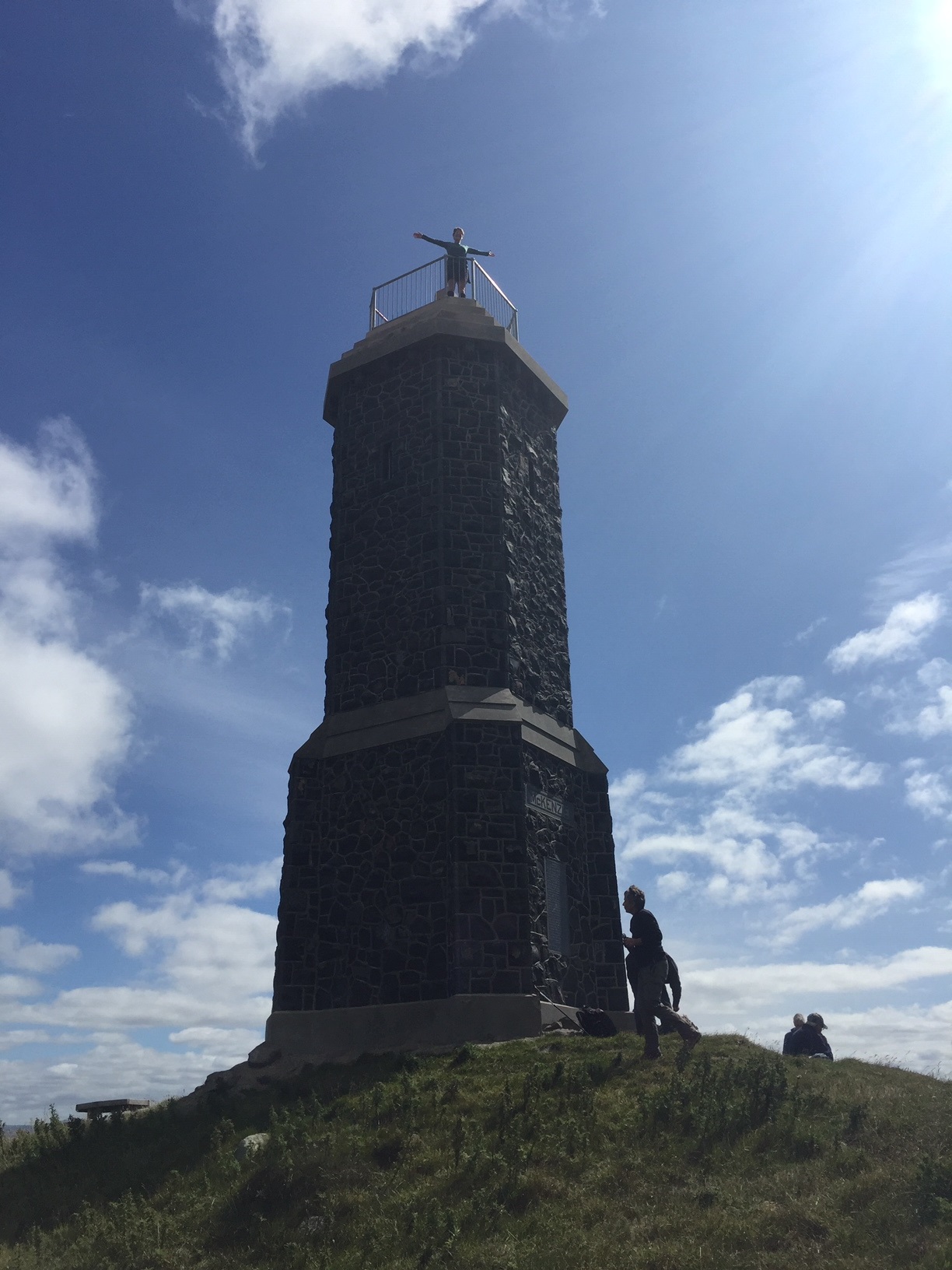
Photo and Caption Jenni – “Karen on top of the world.”
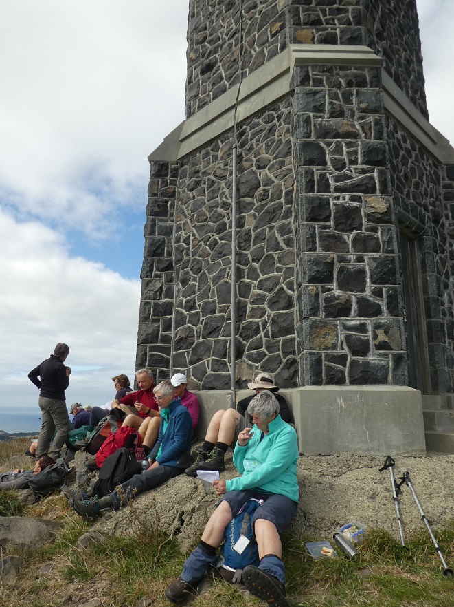
Photo and Caption Gordon – “Lunch at the tower.”
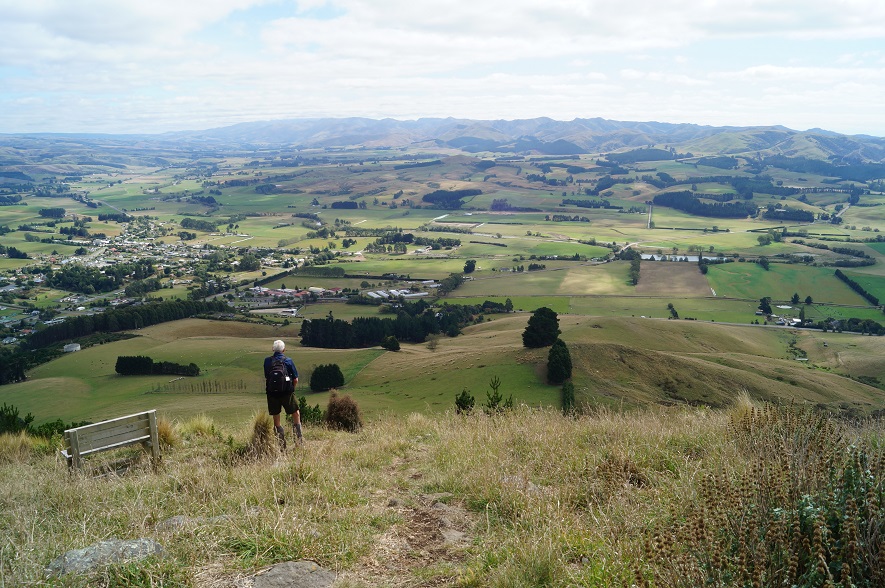
Photo and Caption John – “Taking in the view from the top.”
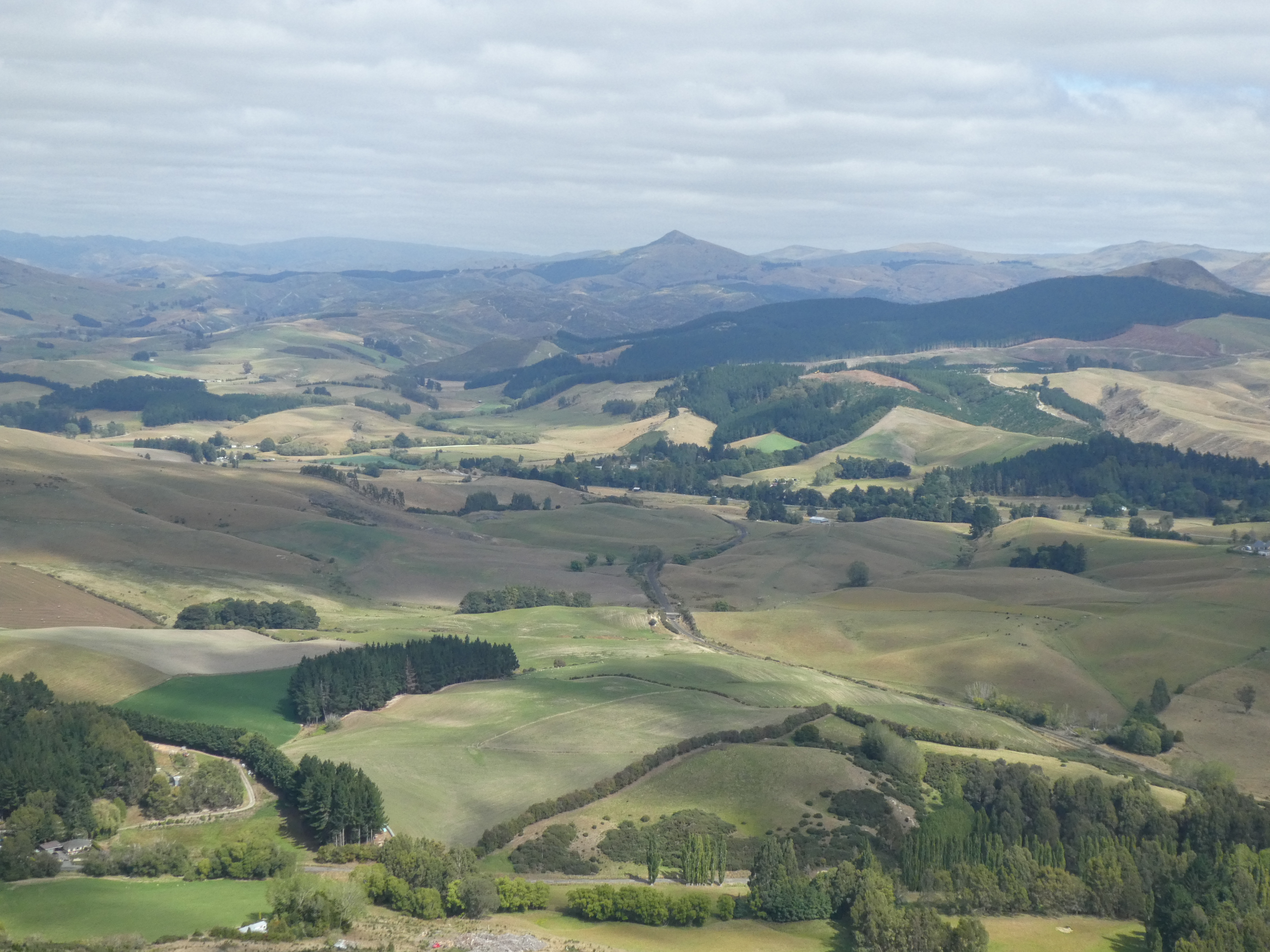
Photo and Caption Gordon – “A view of Mt Watkins from the top of the tower.”
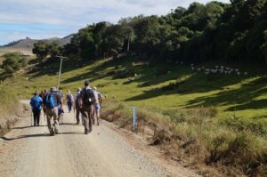
Our return trip down followed a sheep track till we met the gentler slopes again. Sheep and cattle grazed unconcerned with the humans passing by.
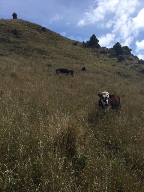
Photo and Caption Jenni – “Cattle unconcerned as we wander by.”
View North from Bobbys Head. (Ken pic and caption)
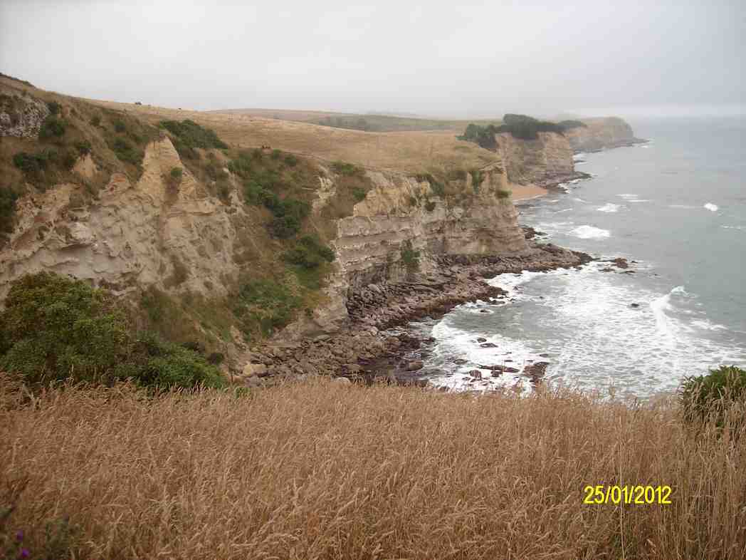
Rugged Coast. (Ken pic and caption)

Looking out the door of Puketapu at lunchtime. (Ken pic and caption)
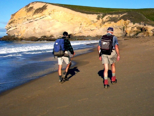
George & Bob H on beach towards Bobbys Head

Bobbys Head profile
Bobbys Head coastal cliffs
Bobbys Head from South
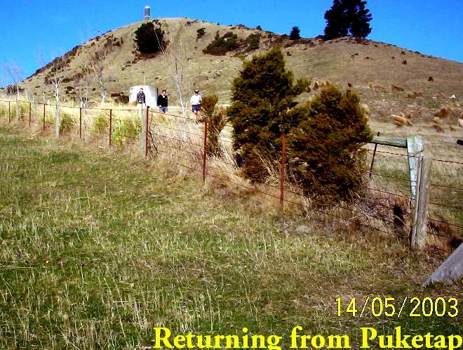
Returning from Puketapu
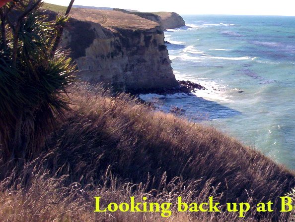
The views of Bobby’s Head were amazing
bloody near killed us afortnight ago. track so steep took longer to walk down