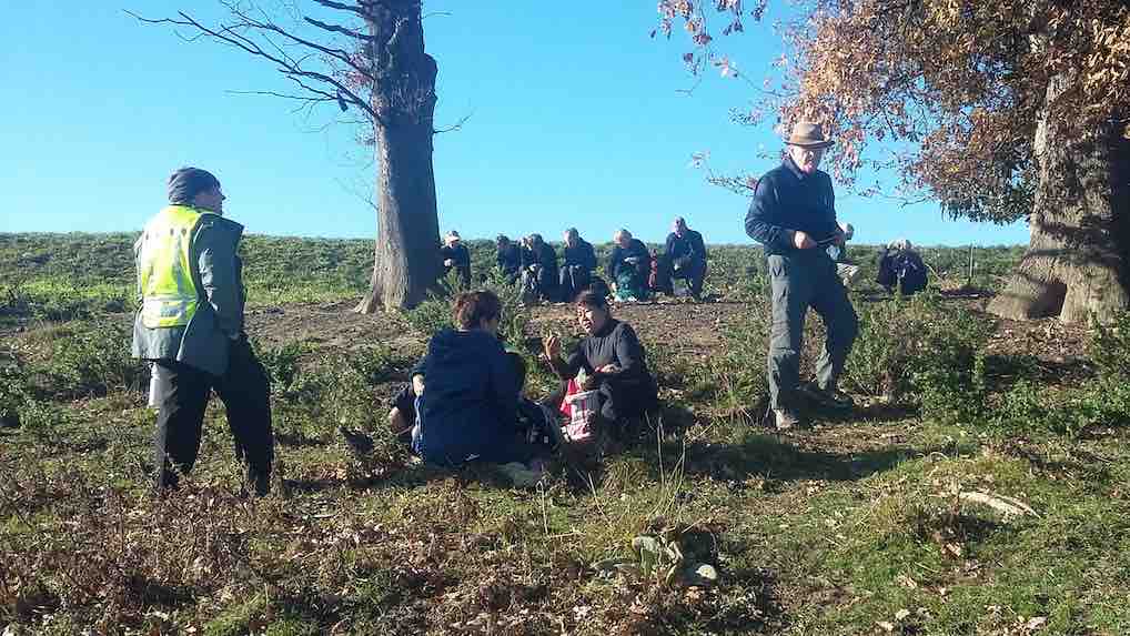
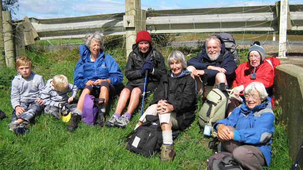
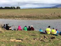
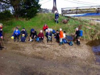
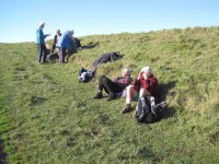
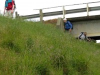
23. 28/06/2023. Hikers. Silverstream to Wals. Leaders: Bill Cubitt and Jill Dodd
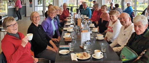
After cancelling the Mt Cargill walk for the second time due to weather conditions, 15 happy hikers walked down the Silverstream track to Wal’s for morning coffee. We had 2 members join us there (Jenny F and Jan Y) which was lovely.

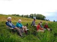
Group at Wals for morning coffee (photo and caption Jill D)
The weather remained very overcast with just a hint of moisture in the air. The temperature was pleasant. The Silverstream was fast flowing, dirty and quite high after the heavy rain. We have just had nothing to what the other island has experienced.
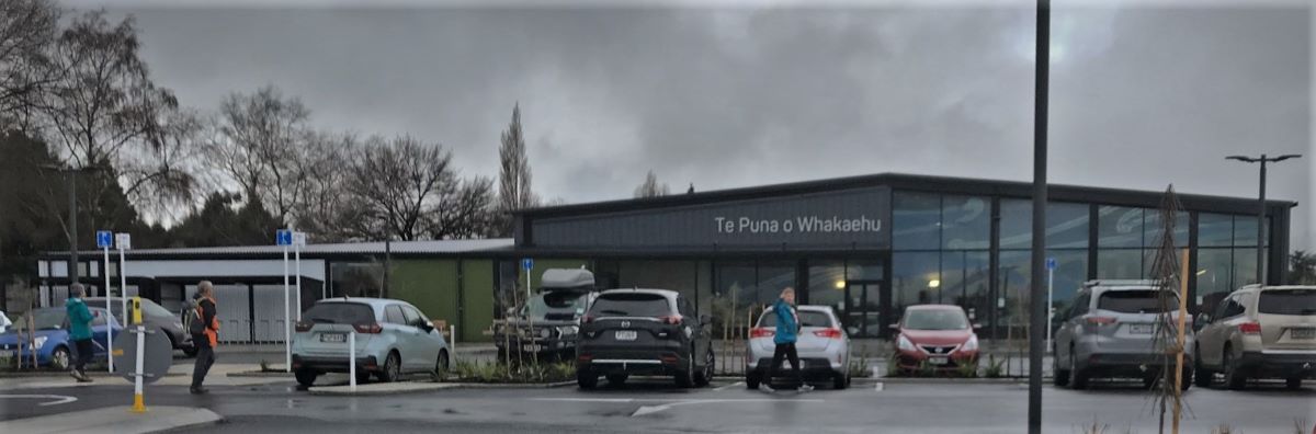
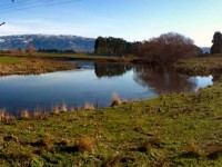
Our wander home was along back streets to the new Mosgiel pool Te Puna o Whakaehu, where some members went for a swim, some a look around, and others home for lunch.
The new Mosgiel pool (photo and caption Jill D)
In total a leisurely walk of about 6 kms with plenty of time to socialise with one another .
Cheers Bill n Jill
22. 8/7/2020. Hikers. Silverstream Gladfield road south. E. Leaders : Jim and Betty
Due to inclement weather the walk to Doctor’s Point was cancelled.
Thirteen walkers braved the cool conditions for an alternative walk to the Gladfield ford, (Silver Stream South). This was achieved without encountering any rain. Nine made it to the Blackstone Cafe for a pre lunch hot drink.
Betty & Jim Finnie.
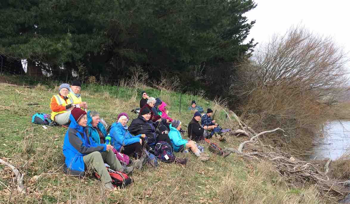
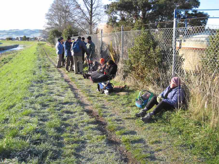
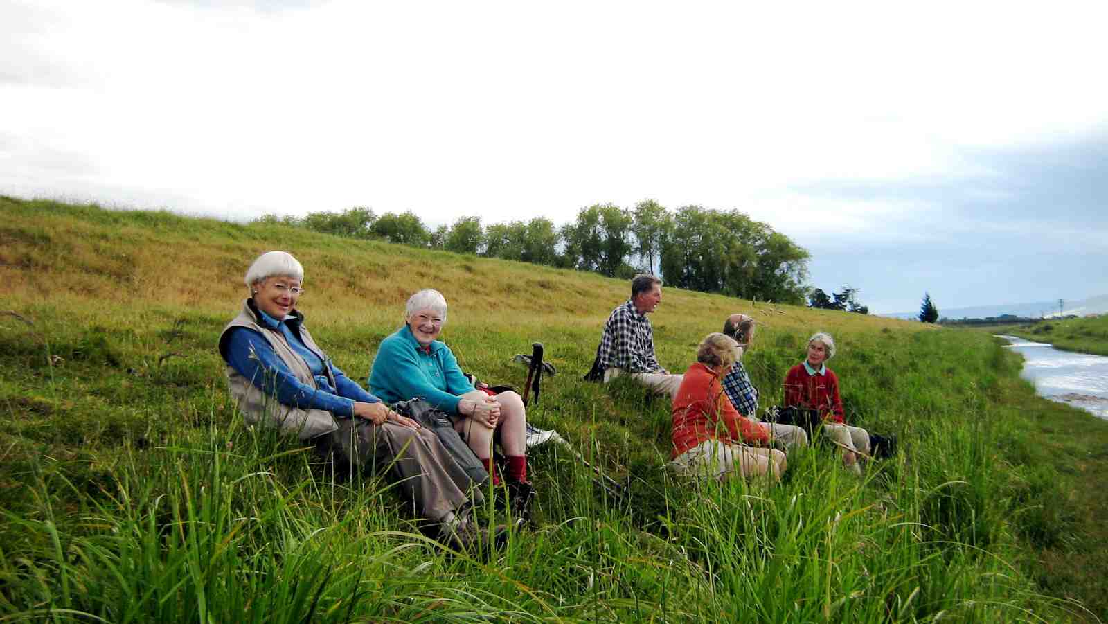
21. 26/6/2019. Hikers. Silverstream floodbank from Carlyle Rd to Confluence. 13+ km. Leaders: Shona and June.
On a clear but cool morning, we car pooled to Wal’s rear park before walking along Bush and Carlyle Rds to access the Silverstream floodbank.
Morning tea was had in the sun at Riccarton Rd bridge.
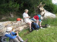
Morning tea beside the stream. (Clive pic and caption.)
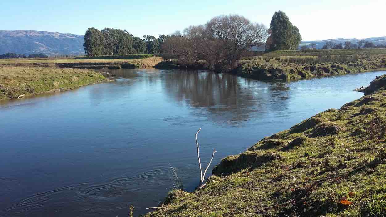
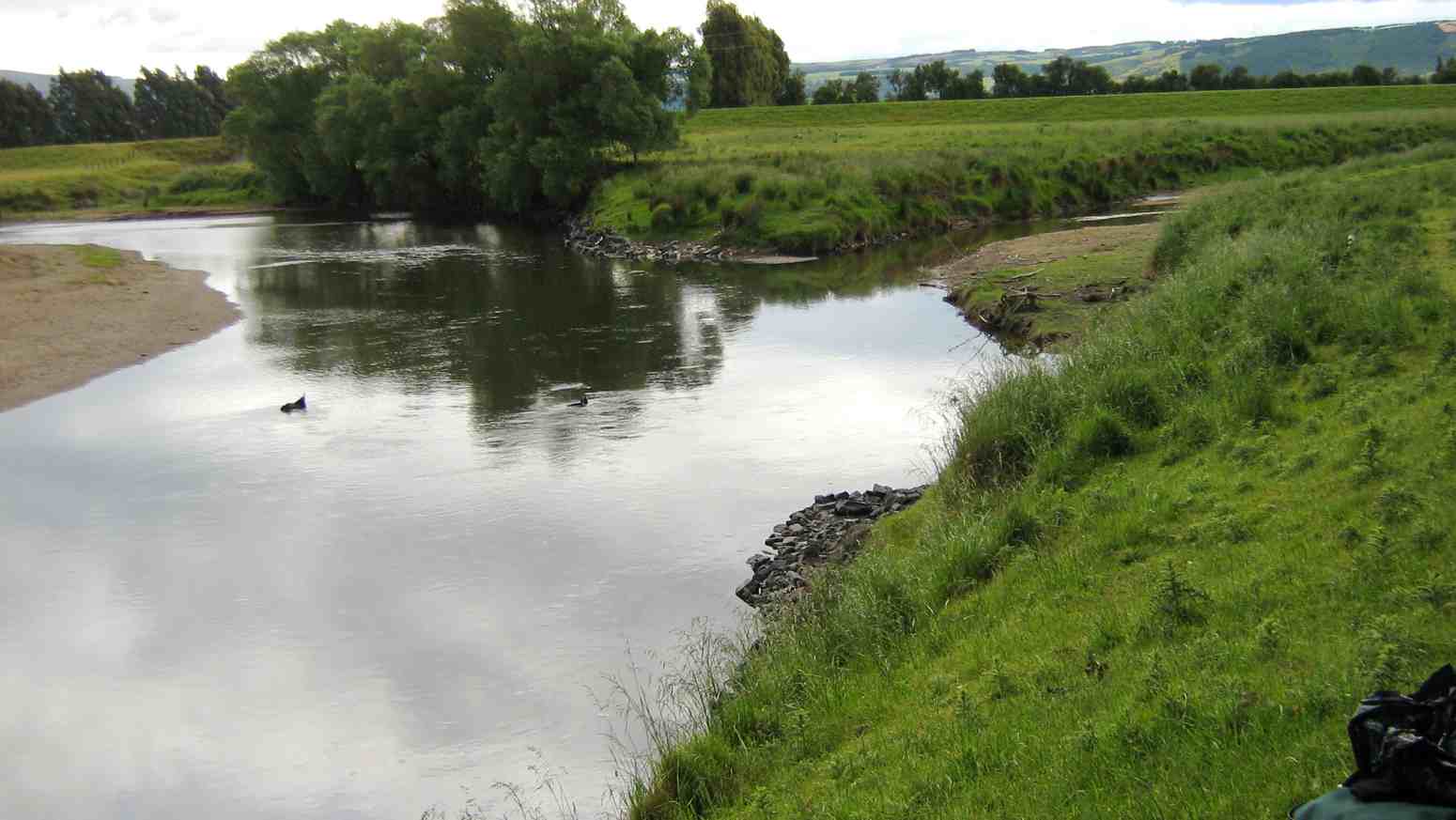
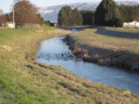
We continued to the confluence of the Silverstream and Taieri river
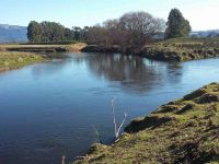
Where two streams meet. (Clive pic and caption.)
where we had lunch,
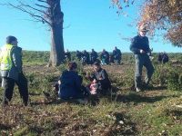
Lunch at the Taieri. (Clive pic and caption.)
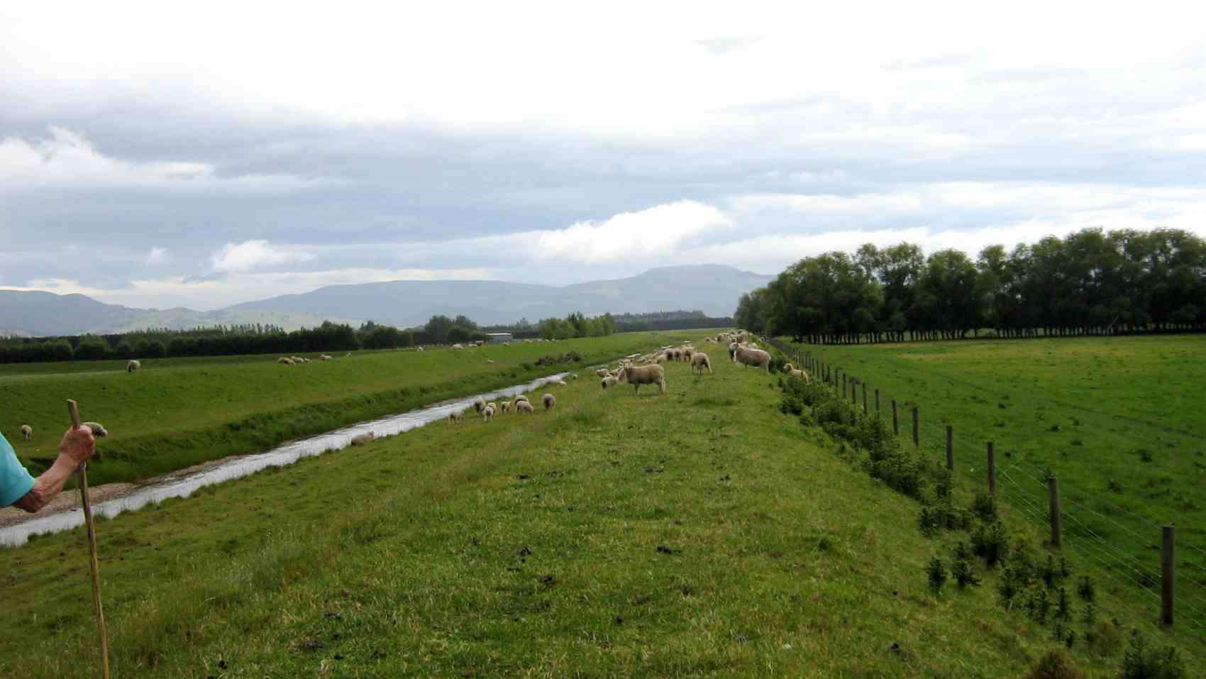
with most finding enough room to avoid the numerous sheep droppings.
Returning back along the track to Wal’s we straggled out a bit like “Brown’s cows” so some were leaving after coffee as others were still arriving. – Shona.
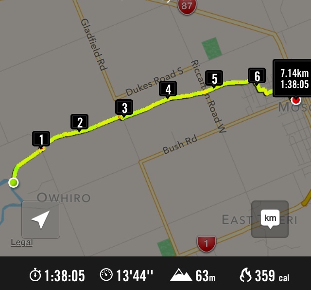
20. 24/8/2016. Hikers. Lower Silverstream to mouth. Leaders: Jim and Betty.
Number of people in the group: 19.
The weather was a very cold northerly that threatened rain, fortunately rain coats were not required.
The hikers followed north from the car park on Factory Road and turned left at L J Hookers which took the group through the civic gardens, across the soccer field to the Silver Stream flood bank which was followed to the Taieri River. Because of the cool conditions there was a short lunch break
Lunch at the Taieri River. Sheltering as much as possible from the cold nor-wester.
Another lunch photo.
then it was a return along the same flood bank back to Carlyle Road to meet Bush Road and back to the car park.
A coffee break was had at Topiary’s. – Betty and Jim.
Lunch to coffee map. About an 8 km distance!
19. 3/9/2015. Both. Lower Silverstream to mouth. Leaders: Arthur and Ian
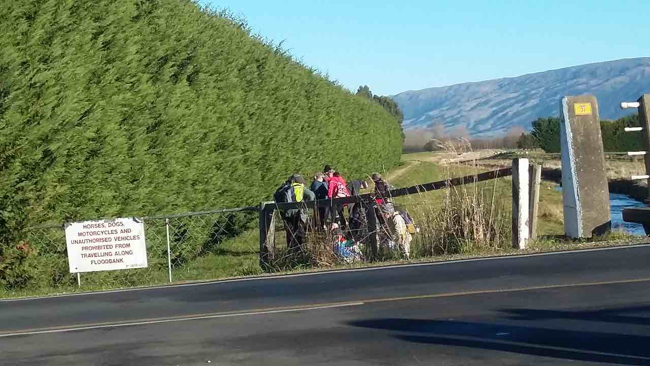
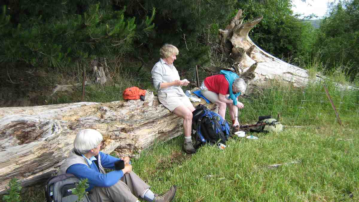
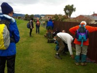
This was a fall-back option. The programmed tramp to the Ship at Anchor area (still under snow) had been rescheduled by the leaders to the Racemans-to-weir area. However 17 of us gathered at the car park in only a suspicion of a drizzle, were faced with the prediction of solid rain in the afternoon and the prospect of muddy conditions even before one got up to the Racemans after the overnight rain. But the weather at the moment was getting lighter. So we decided on the walk along the lower Silverstream flood-bank. Two of us had other engagements so it was fifteen who set off making our way to the start at the Gordon Road bridge. Sloppy mud on the flood-bank confirmed suspicions of what life would have been getting to the Racemans. The Silverstream was quite a sight, rushing a good torrent of muddy water. The day was brightening. We were going well. Time grew on. With today being the first of the nine o’clock start, some began to pant for their still distant 10.00 a.m. morning tea stop.
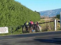
The big macrocarpa hedge had been machine sawn back considerably. Silverstream visible on the left.
Eventually, come ten, we found an ideal bank in the sun at the Gladfield Road ford whereon to stop and drink. Stones and a stick were placed by the water’s edge to determine whether the water would rise or fall. Verdict: it was falling, but just a bit.
Sheltered morning tea in the sun. Note stones and stick to mark water level.
Then up and on again to reach the Riverside Road bridge. Time now 10.30 a.m. Time perhaps, to ensure returning dry before the 12.00 o’clock rain. However, the Trampers in the party, delighted to be walking in territory new to them, inquired how much further it was to the river’s mouth. On being informed it was an eight [Ed. note: Sorry, should have been ‘seven’.] km trek car-park to the mouth, they thought that at this stage it couldn’t be all that much further. So four of them went on with Leader Arthur and the remaining ten returned with Ian. When the returnees found themselves back beside the Sewerage Station at high noon and there was still no sign of rain, Marjorie proposed a stop and just a little further on where she had espied an inviting Rotary seat, backed by a high wood fence. So we sat, some seated, some ‘grassed’ and lunched in the sun. Some little time later the trampers turned up, declaring the mouth had been only about two kilometres further on. So the five joined the ten for an enjoyable time together in the sun.
Tidying up after lunch.
Happy day. Eventually we picked ourselves up again and began an zigzag cut-through of streets, new to some, back to the cars. Back at the car park we each took our separate ways, with a remaining seven resorting to coffee at Wals and Ian’s Shirley joining us. Conversation between Ian and Shirley with Jan turned up a surprising mutual connection with Duntroon, and the fact that Ian had married and buried one or two of Jan’s elder relatives – recollection of some wonderful people and local areas. Jan hadn’t heard of ‘rattling rocks’ in the Maerewhenua River. Must show her sometime. Small world.
A great day out, a vindication of the value of the Club’s practice of leaving final decisions for the car park and an example of making your own luck by giving things a go. (Where was all that rain anyway?) – Ian.
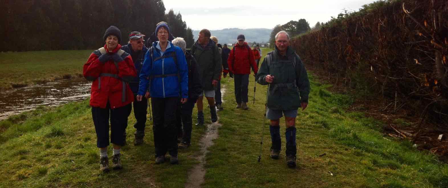
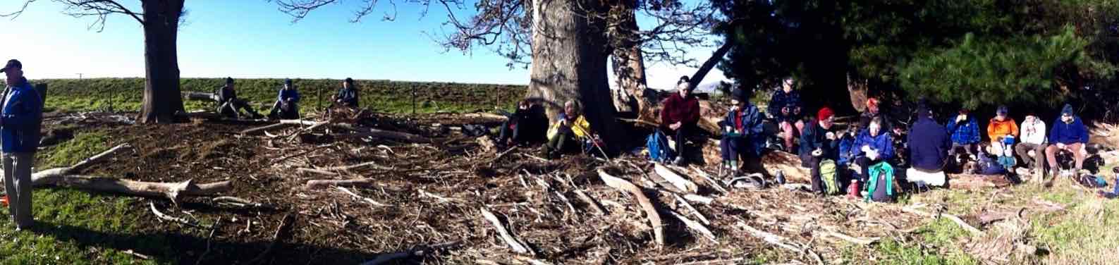
18. 24/6/2015. Hikers. Silverstream to River. Leaders: Les and Margaret.

GPS from Taieri River back to car park. Therefore, total distance 14.28 km.
Thirty-one hikers trekked the Silverstream flood-bank.
A Gaggle Doggle(?) of Ducks. (John pic)
A wafting wind from behind blew coldly, especially noticeable when we stopped for our morning cuppa.
Morning cuppa. (John pic)
But it mercifully stopped as we sipped and the rest of the day was calm. 14 km on hard grass is a solid distance for Hikers, made no less easy by the relentless use of same leg muscles unrelieved by any rough track variation. So it was no surprise that some of our wiser (?) ones chose an early lunch stop-off,
Early lunch (John pic)
while the rest carried on to the stream mouth at the Taieri River. Here, a number of flood-washed-up logs provided welcome seating, promising later easy rising untroubling arthritic knees.

Logs to sit on. (Panorama)

A touching moment of male obeisance.
The calm confluence of the two streams was breathtaking in its beauty.
Stream confluence panorama
Time to return. Refreshed. Time passes. Legs getting weary. Ah! A pedestrian walkway promising a shortcut zigzag through streets back to the car park instead of having to walk right up to Gordon Road. We cut through, lane after lane. Ah, the bliss of car seats again. Next, coffee adjournment. But not without cleaning up or divesting entirely filthy sheep-droppings-caked boots. Thanks to Margaret and Les for a trek we hadn’t done for some time now. – Ian.
17. 10/7/2013. Hikers. Silverstream to River. Leaders: Peter and Wendy.
16. 15/8/2012 Both. Silverstream. Gordon Road to through-way to Goodall St. Coffee Shop.

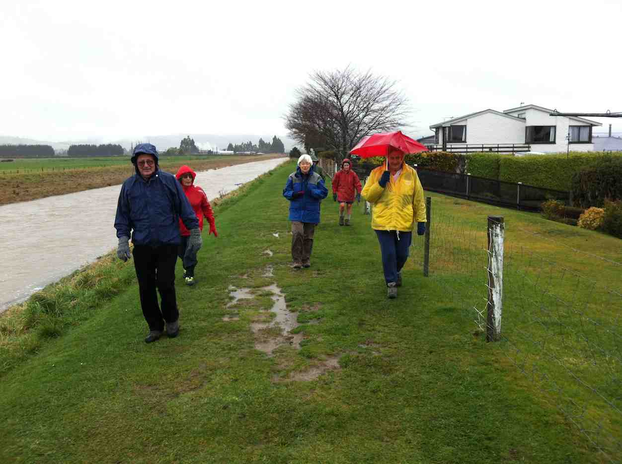
Silverstream. It was only a light rain. The stream had gone down a lot but was still quite high. Seven of us. Love the brolly.
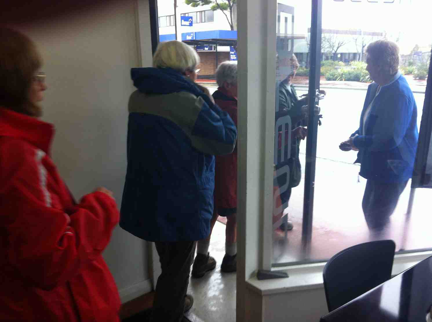
Exiting cafe. After-thought pic. Well, why shouldn’t we have made an occasion of the day?
15. 25/7/2012. Hikers. Silvestream and Blokes Shed. – Leaders: Molly and Elaine.
We had a good walk around the Silverstream along the banks.
Morning tea was at the “blokes shed”. We had a chance to have a quick look around at the awesome projects that these retired guys are doing.
Lunch was had a sunny spot by Riccarton Road.
A stroll along, then to Wals plants in Bush Road. This place is really going ahead. The veggie boys are building a big shop there.
A cafe is opening soon there also. Yum Yum. It’s people that ran the No 8 in Outram.
Also they have a railway that children can ride on.
A very nice day out. – Elaine. (Stand-in for Bill Hunt)
14. 27/6/2012. Silverstream. Carlyle St to Gordon Road.
It was a winter stormy day. Eight of us turned up at the carpark. Trampers’ plan had included Swampy Ridge. Gales and snow. OUT! Same with street walks. We ended up heading down Bush Road into icy wind and rain, back up the Silverstream with the wind more comfortably behind us …

Wrapped up against the weather
… and on to morning tea at Les and Margaret’s lovely home. At least we ventilated our lungs with some good fresh Antarctic air. – Ian
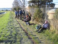
13. 19/10/2011 Silverstream NE & Stedman, Dukes and Gordon Roads and then SW to Carlyle St. Heavy rain up to Tuesday night. Everything wet. Programmed tramps cancelled. But six hikers turned up at the car-park and enjoyed walking the Silverstream.
12. 2/2/2011. Both. Lower Silverstream. Leaders: None!
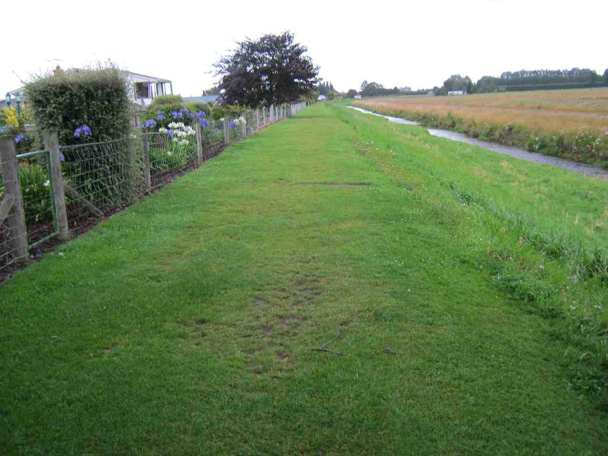
There was light rain at the car-park. Leaders George and Dot had recced the programmed walk on Roberts Farm on the western foothills of Maungatua the day before, but cancelled it today because of rain, cloud and forecast strong winds, and after discussion, left for home again. However the remaining nine of us were still prepared for an outing so set off for the lower Silverstream flood bank from Gordon Road. We realised we hadn’t done it for quite a while. The first part was beautifully mown as far as the eye could see. And the flowers and tidy sections were just a picture.
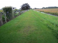
Mown grass and gardens filled with summer flowers.
However from Carlyle Street on, the grass was a little longer – and wetter! We passed under Riccarton Road bridge, reached Gladfield Road and morning teaed at the pedestrian over-bridge. Then it was onwards again. The rain had stopped but the grass was still wet, and added to that was now the droppings of grazing sheep. (The very worst for mucking up one’s boot soles, no matter how careful one is.) Then the forecast wind began to gust strongly from the southwest, which made us relieved we weren’t having to face its full force up on the Maungatua foothills. (The cancellation by the leaders had been a prudent decision!) We battled on and found shelter in the lee of the Riverside Road bridge. We also discovered a firm called Earthworx had established a storage site nearby. That was something new.

Earthworx storage area
It was now 11.30, a bit early for lunch but what the heck. It was sunny, we were sheltered from that strong wind. We certainly weren’t going to push any further today. So we had a nice long rest and chat.

Sheltered from the wind. (Pic by Peter)
Eventually, lazily, we picked ourselves up and meandered home, hating the sheep droppings but enjoying the wind gusts floating us back home. – Ian
11. 9/12/2009. Silverstream to Taieri Riverside. Leaders: Bill and Lesley.
It rained up to 8.30 a.m. Result: no one was ready to go on the Tramp of the day and the Hikers’ leaders cancelled the Hike. But the seven who turned up at the car-park decided the day was still worth it for the Hike. So off we set. When we had got further down-stream, we found the stop-bank was well-stocked with sheep and their doings! But we found a passably clear tussocky spot down by the stream for our morning tea.
Cuppa by the stream. Lesley, Joyce, Lex, Pat, Bill, and Molly.
Down at the mouth, some selected the log there for lunching against …
The log lunchers. Lesley, Pat, Joyce.
… while the remainder chose the grass.

The grass lunchers. Molly, Lex, Bill.
Our leisurely stop was enhanced by the beautiful scene in front of us.
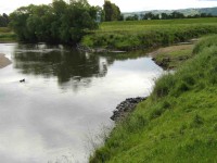
The attractive scene at the confluence.
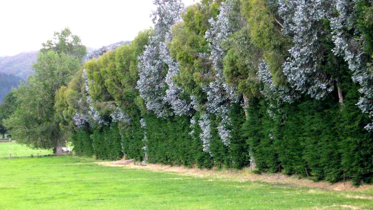
An arresting sight on our way back was a variegated hedge of trees.
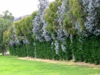
A real colour treat.
We avoided crossing roads by diverting under the bridges. Here some of us tried a cramped short-cut.
A cramped short-cut.
The only downs-side to the day were the unavoidable ‘pellets’, ‘grenades’ and ‘plops’ of the sheep.

Sheep and what they ‘do’!
10. 23/7/2008 Silverstream & Stedman, Dukes, Gordon Rds. Leaders: the four of us!
The weather report was for rain and cold southerlies strengthening so the leaders for both Aramoana and Sawmill Rd cancelled their trips for the day. Despite this, four of us still turned up at the carpark, in good traditional club practice, viz. Peter, Neil, Molly and Ian and walked up the side of the Silverstream. The writer was amazed at the knowledge the other long-lived Mosgielians had of the people living in every second house. Greetings were continally exchanged as we made our way along the path. Neil pointed out the part he had in establishing the camping ground, planting the dividing hedges and constructing the amenities block. Neil had a continuing interest in the seats he had had a hand in placed at intervals along the path and in tightening any loosened nuts on the bolts anchoring the seats to their foundation slabs. He was also able to point out the line delineating the stop-bank’s boundary between the Regional Council’s and the City Council’s ownership responsibilities.
Then it was into the Taieri airfield buildings and the friendly welcome into the newly-established Blokes’ Shed, having just passed the frontage of the old NAC hanger, reminding us of the history of this area. On again past the many private hangers and out onto Stedman Road and around past the Fisher and Paykal and old Siverstream PPCS buildings. Again recollections of the extent of the original aerodrome now encroached upon by roads and buildings. Down Dukes Road, back onto Gordon Road and back to our homes. Occasional light drizzle came and went but we all remarked on how pleasant a day it was to be out walking and enjoying each other’s company. No pictures this time – left camera behind. – Ian.
9. 5/9/2007. Silverstream and Taieri Riverside. Leaders: Ria, Bob H, Catherine, Mary M.
As it was the first Wednesday of the month the tramp involved the hikers and the trampers all going together. The hike was led by Ria and Bob, both very experienced trampers and members of the track committee. We followed the banks of the Silverstream in Mosgiel and had morning tea sitting on the bank watching a farmer fording the river in his tractor. We crossed the stream and on reaching the Taieri River continued along it upstream to a farm access road. We were able to complete the circular walk by continuing up the other side of the Silverstream and making our way back to the same bank for lunch and then back to the cars at Peter Johnson park. A pleasant hike in fair weather. About 20 people took part. – Tash
8. 2/10/2007 Silverstream and Taieri Riverside. Leaders: Ria L, Bob H
7. 22/11/2006. Silverstream to Ivermay and Picnic Ground from Car Park. Easy. Leaders: Nancy, Margaret S.
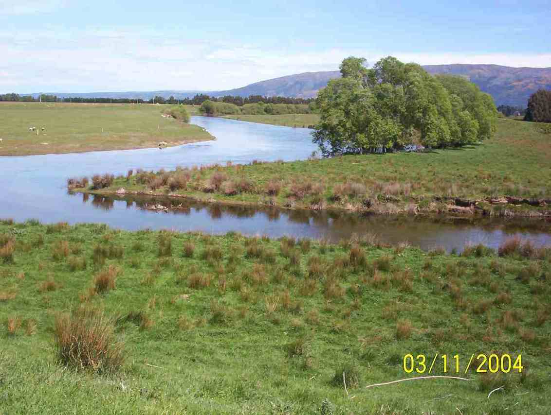
6. 3/11/2004 Lower Silverstream Leaders: Lex, Ria, Val, Brian, Irene
Bridge by Gladfield Rd ford

Confluence of Taieri and Silverstream mouth
5. 30/5/2001. Silverstream. Leaders: Lance and Lois, Pam.
4. 29/11/2000. Silverstream. Leaders: Margaret D, Ivan and Bev.
3. 10/5/2000. Silverstream – Riverside. From Carpark. Leaders: Peggy M, Margaret D, Diana.
2. 11/6/1997. Silverstream Outlet, Taieri River. Return Bush Road. Leaders: Peg C, Shirley R, Mavis.
1. 1/5/1996. Alternative to Duncan’s Farm Road and return Kowhai Spur: Silverstream to Taieri River. Easy Leaders: Peg C, Jean A, Ria H