May 30 2018
Orbells Crossing, Northern Lawsons Farm
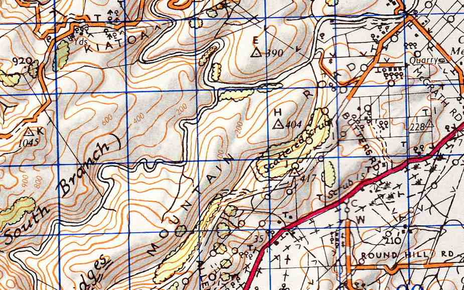
Topo map of area
9. 30/5/2018. Orbells Crossing – Mountain Road.(Lawsons Farm.) M-H. Arthur.
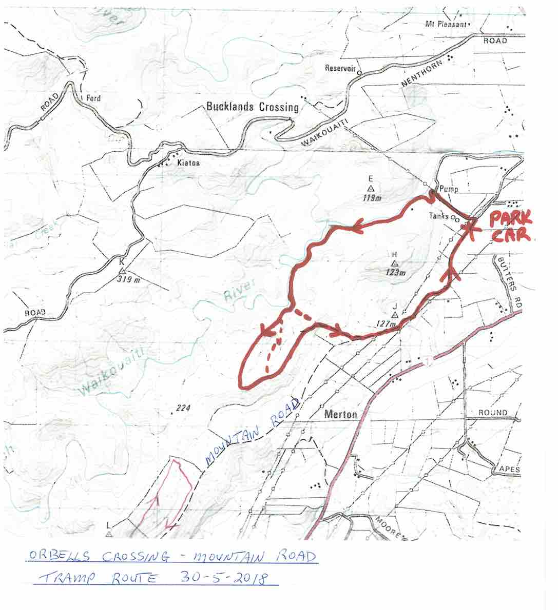
Map of route, courtesy Art.
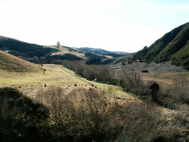
Frost to begin with, but a sunny day followed for 11 Trampers to enjoy their exercise in.
We drove up Mountain Road from the north end and parked up.
The air was cold, but a brisk downhill walk in the sunshine took us to the bank of the Waikouaiti River where we had our smoko stop.
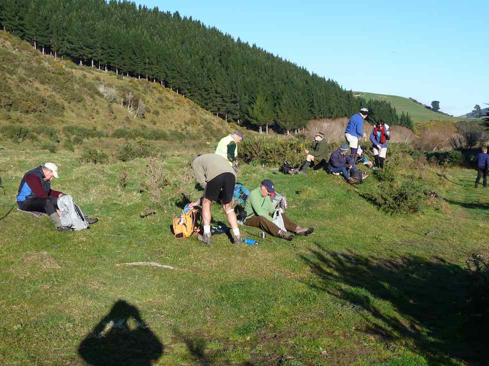
All important smoko. (Gordon pic and caption.)
Following the river bank upstream we soon encountered a pine plantation where the track was becoming overgrown with blackberry and gorse. You would have expected that a consciention leader would have done some track clearing!
This was the only bad patch for the day, as we were were out on grazed paddocks from then on.
Passing the junction of the two branches of the Waikouaiti River, we continued up the south branch and soon came out on a lovely river flat. On leaving the river we had a long climb, with a reasonable gradient,

Onwards and upwards. (Phil pic and caption.)
to eventually find our lunch spot on the ridge top.
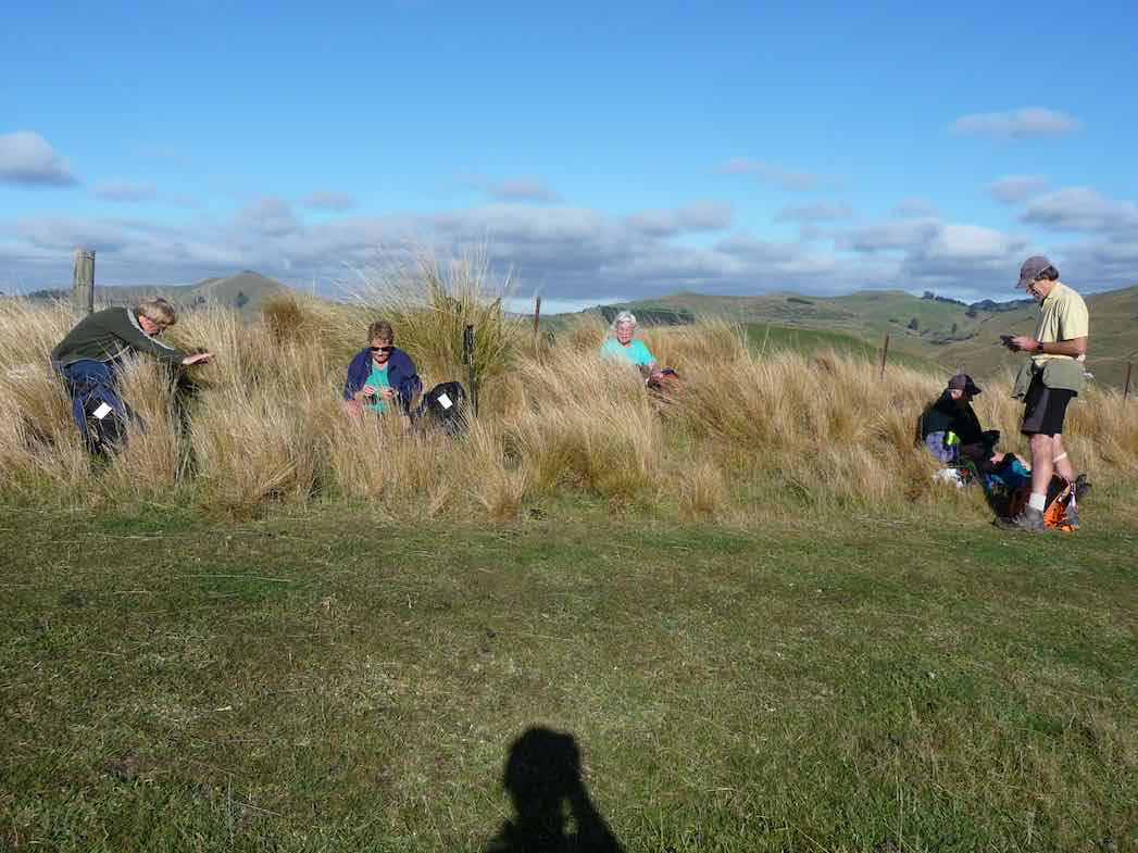
Lunch among the tussocks. (Gordon pic and caption.)
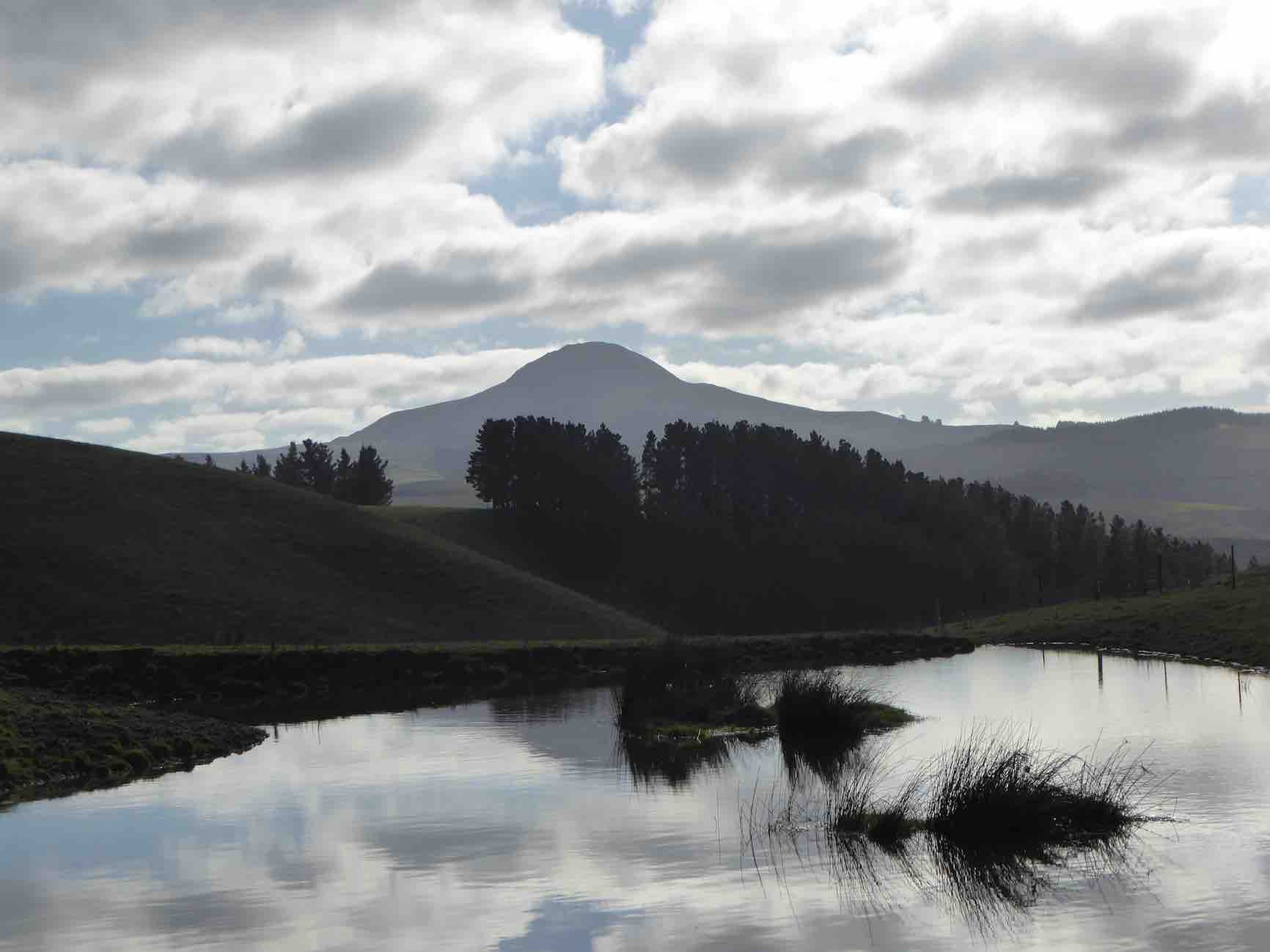
Lunch with a view – a little snow was on top of Lamb Hill, Mount Misery, (Bendoran Huts had been visible a few metres back). We were looking at Mount Watkins
Reflecting on Mt Watkins (Phil pic and caption.)
as we ate, and Maori Peak, Karitane, etc, further round.
A very slight south-east, but very chilly breeze was present, and we faced into it for the return journey. Following the ridge down, and then on a slippery (newly graded) track requiring care.

Heading back to cars. (Gordon pic and caption.)
In time we came to Mountain Road, which is the old wagon road from the early days of Otago, and eventually arrived back at our cars.
We had covered a distance of about 10.5 km. Our club had last tramped here in 2012, but none of our group had been here before.
A new tramp is always welcomed, and we had a great day in the sunshine, enjoyed by all.
Blueskin Nurseries enjoyed our patronage on the way home. The Hikers arrived in too. – Art.
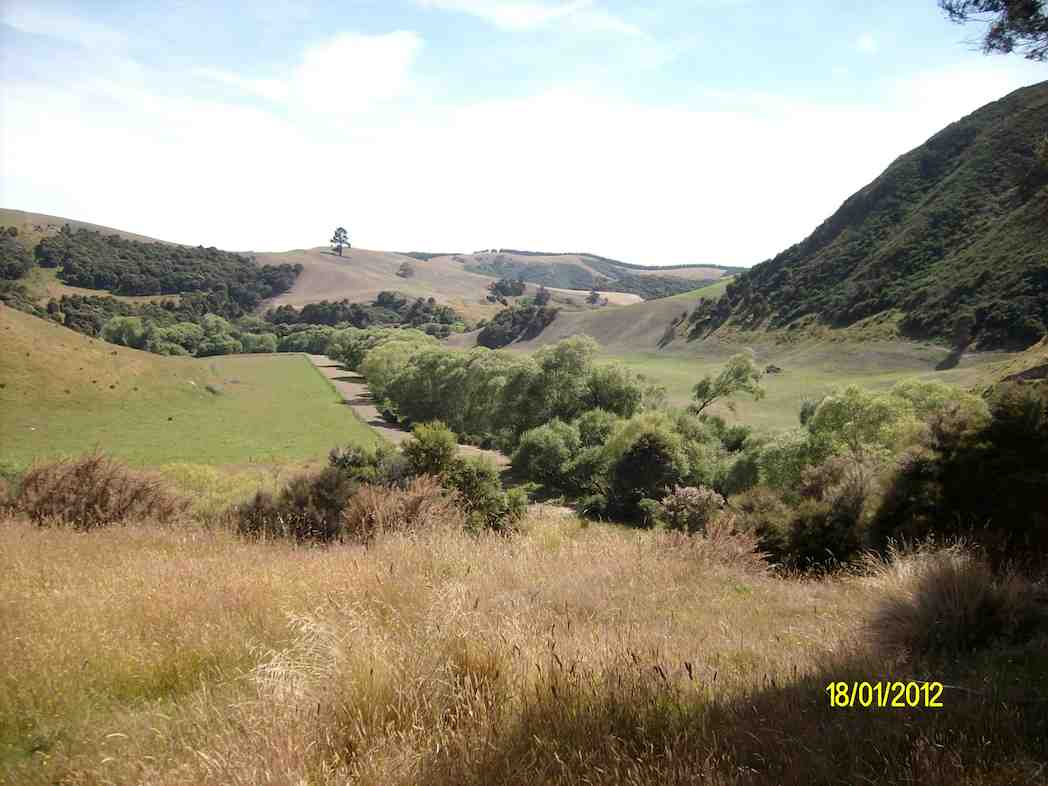
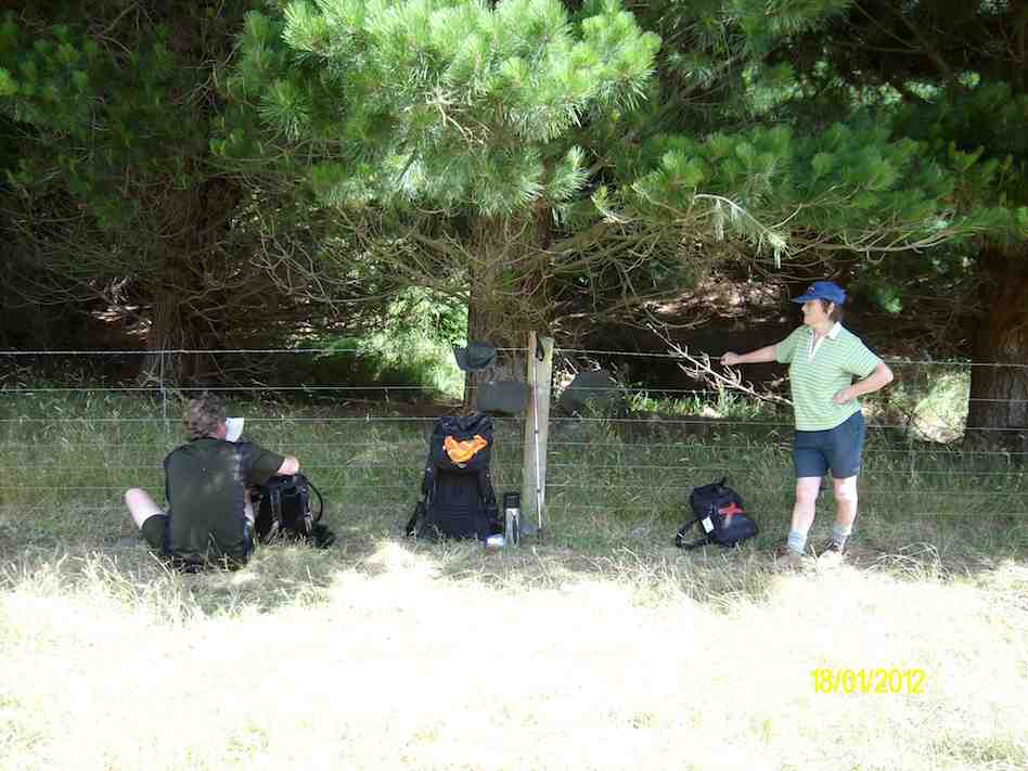
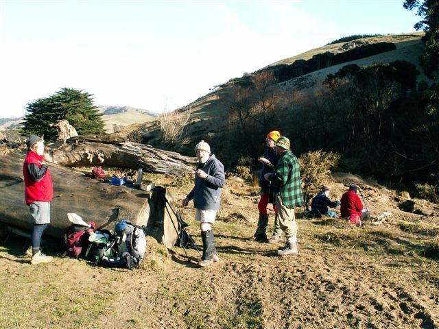
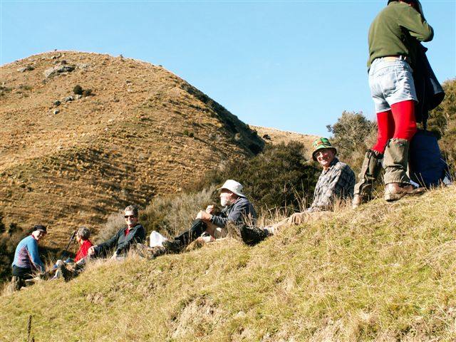
8. 18/1/2012. Trampers. Orbells Crossing, Mountain Road Track. Medium.
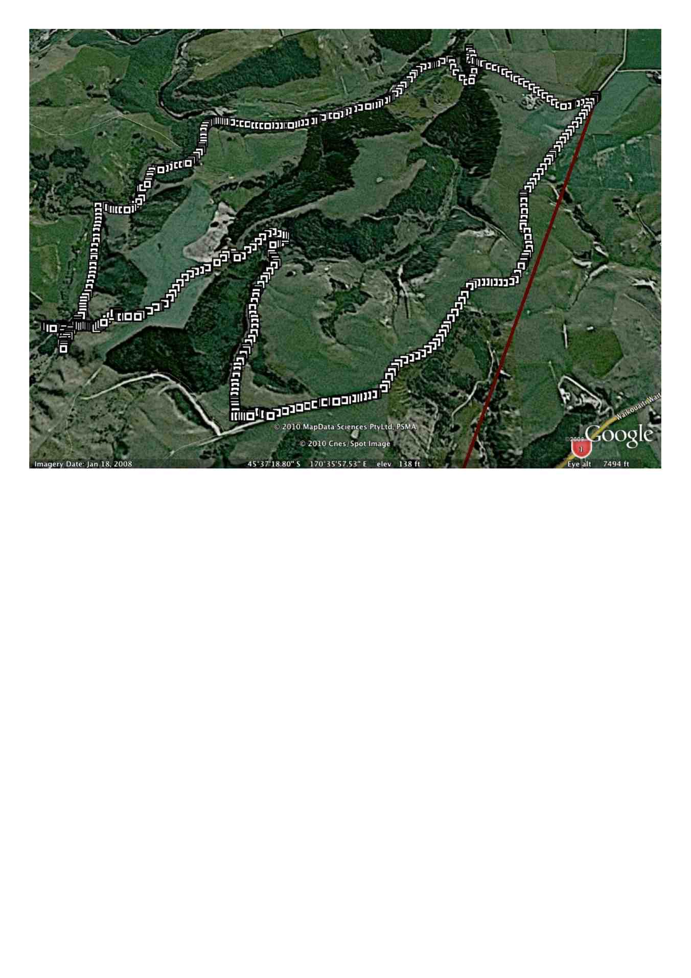
Ken’s GPS tracking of tramp
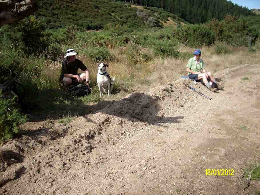
Morning Tea break. (Ken pic and caption)
Resting out of the hot sun. (Ken pic and caption)
View from our resting place. (Ken pic and caption)
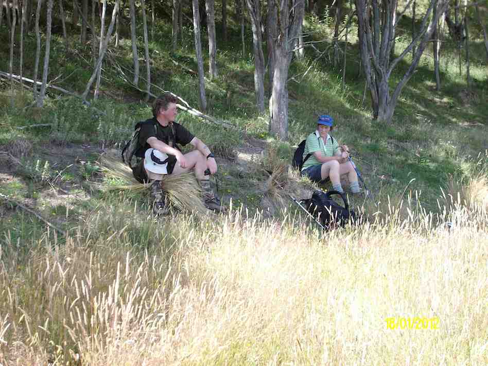
Lunch in the shade of the trees. (Ken pic and caption)
Morning Tea. (Keith pic)
Lunch on ledge above Waikouaiti River. (Keith pic)
View looking back down the willow-lined river. (Keith pic)
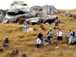
Rocks pose. Doug M, Hazel, Leonie, Ria, Sabina, Ken, Tash, Who?
A small but select group met at the turning to Buckland’s crossing on an overcast but warm day under the leadership of Ria and Hazel. The location of the tramp was down as Orbells crossing but there was some debate as to where this actually was. We parked in the middle of nowhere but Ria and Hazel soon had us over a couple of fences and striking across the countryside to a nice morning tea stop on the banks of the South branch of the Waikouaiti River where it was mentioned that a fishing rod would have been useful. The tramp continued along a very pleasant country track wending our way along hillsides and gullies until we stopped for lunch, looking back over to where we had walked earlier. To those with no sense of direction this was quite confusing as we seemed to do a very big figure of eight. After lunch the mystery trip continued, with Ria venturing into some uncharted territory along a gully. When the gully ran out it was a steep climb up to the top where we could easily see where we were again. One of the highlights of the day was seeing the unusual rocks just above the track,
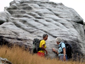
Ria, Hazel
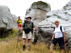
Ria, Ian, Tash
weathered into all sorts of interesting shapes, colour and textures. All information about these rocks would be gratefully received. A very enjoyable day’s tramping. Many thanks to our adventurous leaders. – Tash
The rocks looked spectacular-am glad all who participated enjoyed the tramp