Jan 21 2023
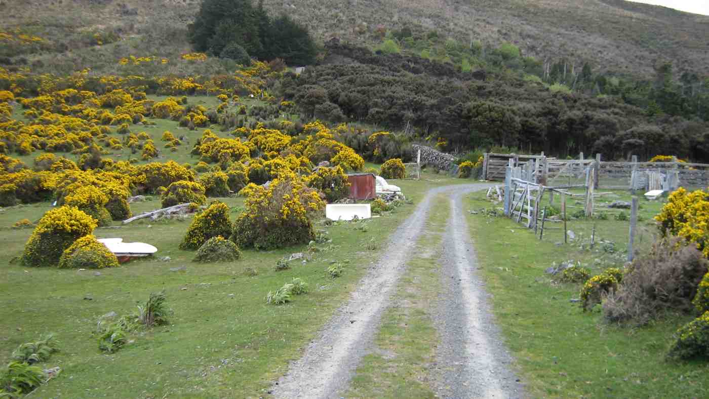
Spiers Road, Davies, McGouns Creek Extension
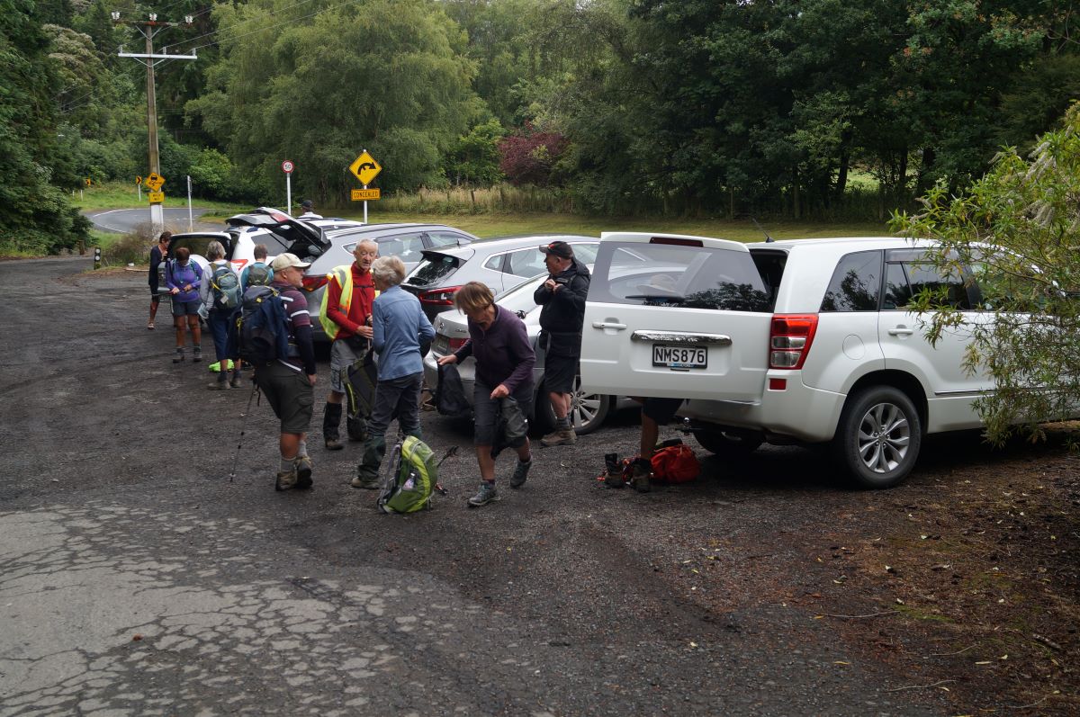
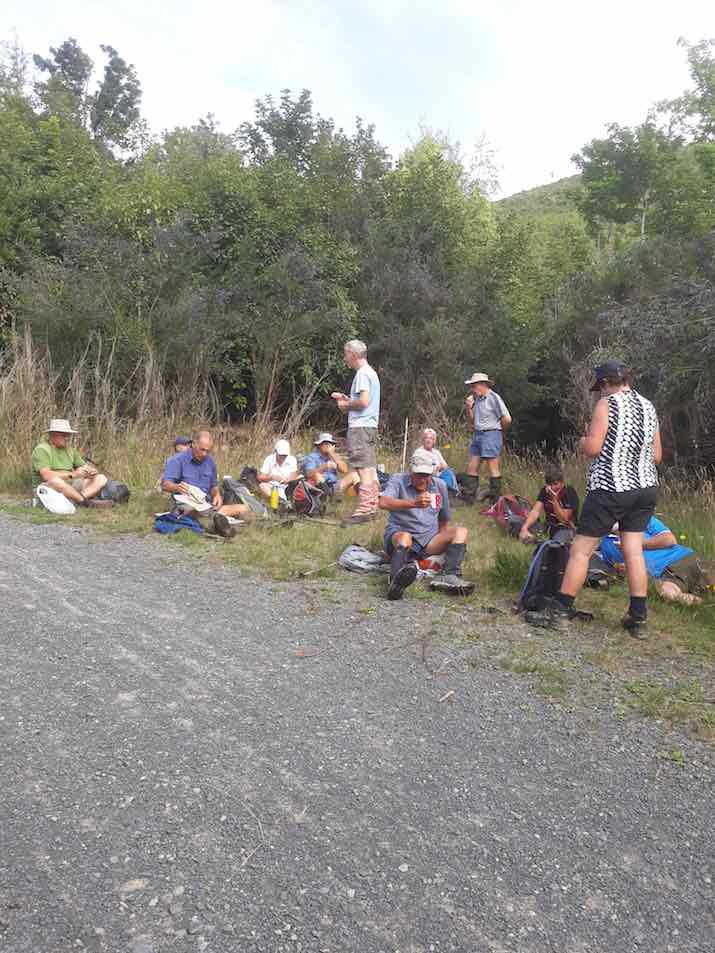
Keen to start the tramp (photo & caption John)
17 of us met up in Wakari Road at the carpark for the Redwoods bike tracks on a cloudy morning and headed off into the maze at 9.20am. It’s a lovely meander through the very tall trees. We emerged at the Booth Road end of the Pineapple track and took the track up to the water treatment plant.
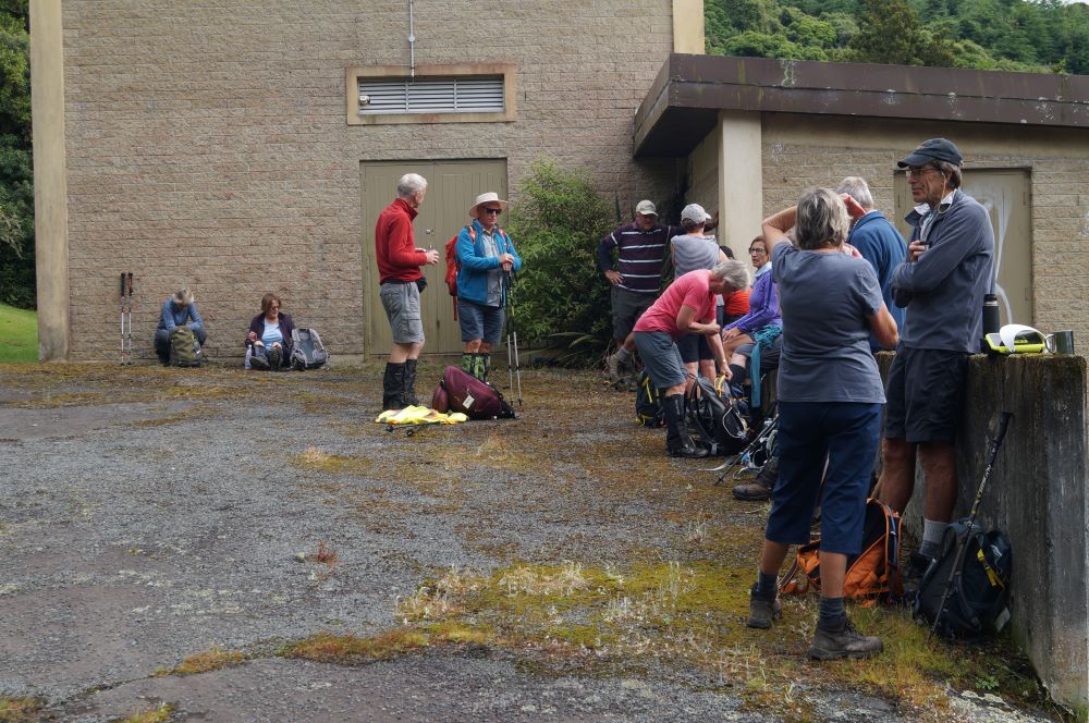
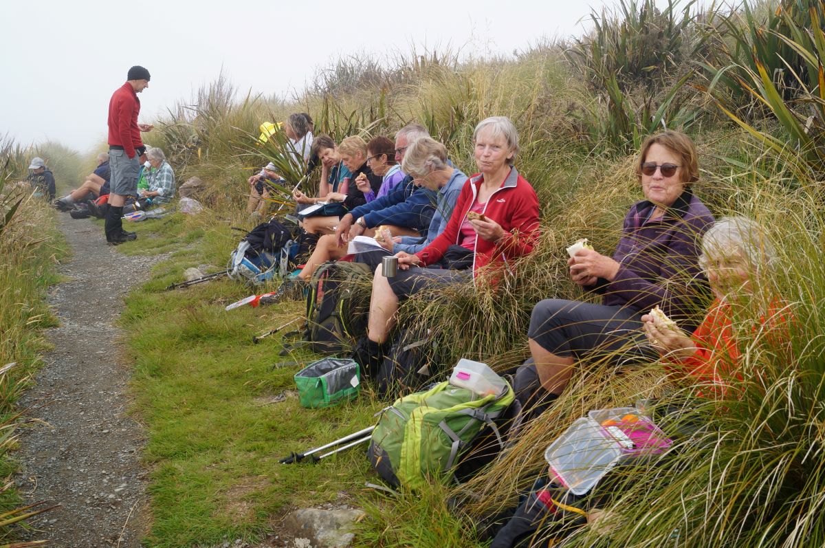
Morning Tea at the pumping station (photo & caption John)
We had morning tea there a little after 10am on the uphill side before heading into the bush behind the plant. This was the entrance to the original Pineapple Track which was replaced by the current one in the late 1970s. Within a few minutes on a faint unmarked trail we crossed the McGouns Track and kept on straight up. The track is reasonably obvious. It was a bit greasy in places but is a nice contrast with the new track.
Mind your step (photo & caption Phil)
We emerged into the open area beside the new Pineapple Track but didn’t head over to Pineapple Point viewpoint as we’d been enveloped in cloud by then.

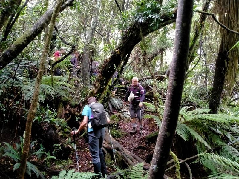
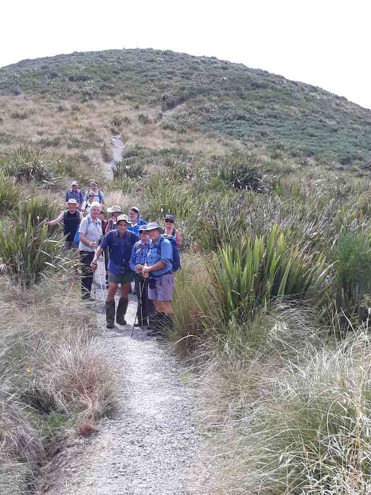
Regroup in the bush (photo & caption John)
Instead we retreated a little way back down the way we’d come before heading south through the bush, contouring around to the middle part of the Davies Track. There’s a slight ground trail, and some markers, probably noting trapping lines. Plus lovely big Totara trees and impressive cabbage trees. Towards the Davies Track there are blue triangle markers for another trap line and this leads on to the Davies Track about halfway up. We had a look at the alligator swamp but they were all hiding.
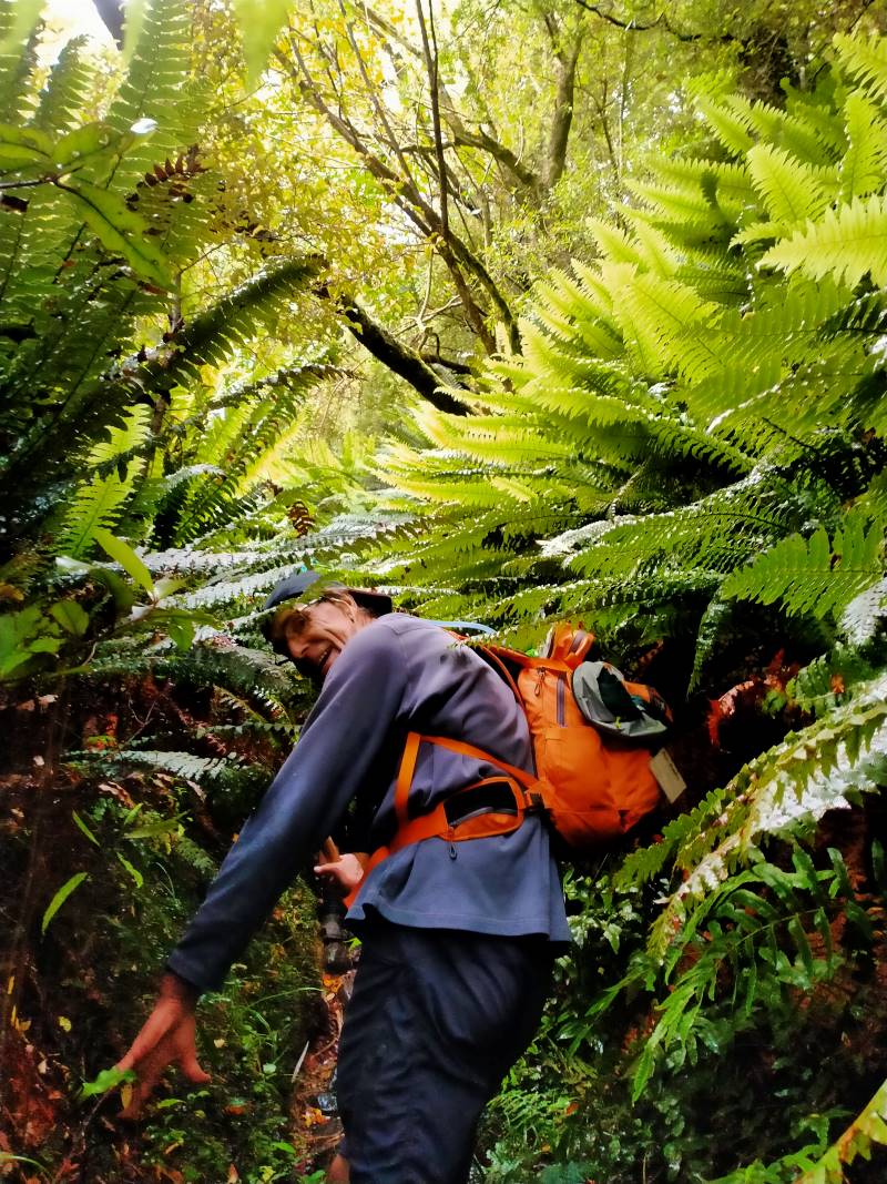
Feels like the jungle in Borneo (photo & caption Phil)
The upper part of the track was fairly muddy and slippery. Eventually we emerged from the bush, just below the cloud. After the fire a few years ago, the flax and gorse and grass are growing back, and it was saturated. With nowhere dry to stop, we carried on up to the Flagstaff Walkway and then a few more minutes towards the top where we found a sheltered dry spot beside the track for lunch, at about 12.45pm.
Lunch on a handy bank (photo & caption John)
After lunch we zoomed across the summit, then down a little way towards the Bullring. You have to keep your eyes out for the Spiers Road track branching off to the left, over the ridge and then plunging down towards Halfway Bush.
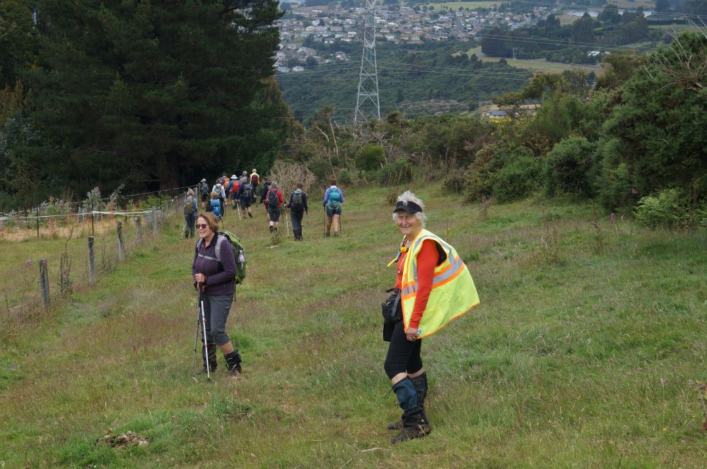
Within sight of civilization (photo & caption John)
After the light rain of the night before the track needing a bit of care.
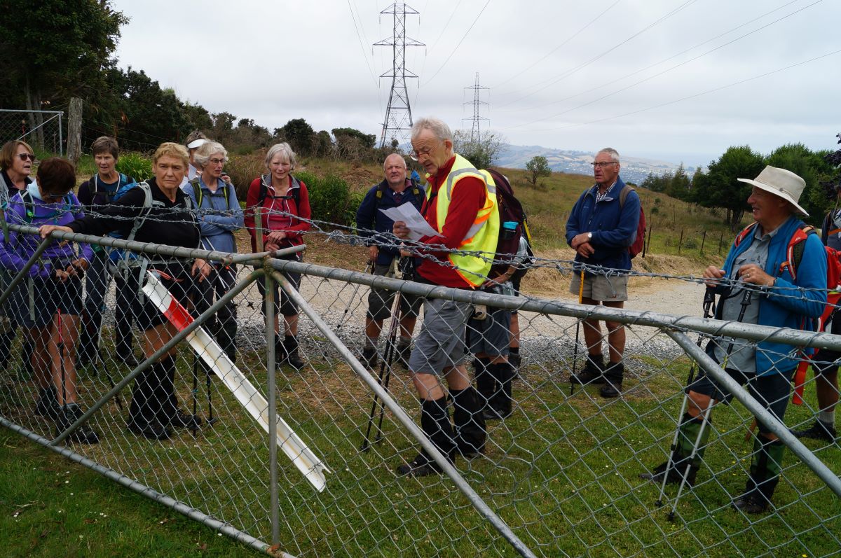
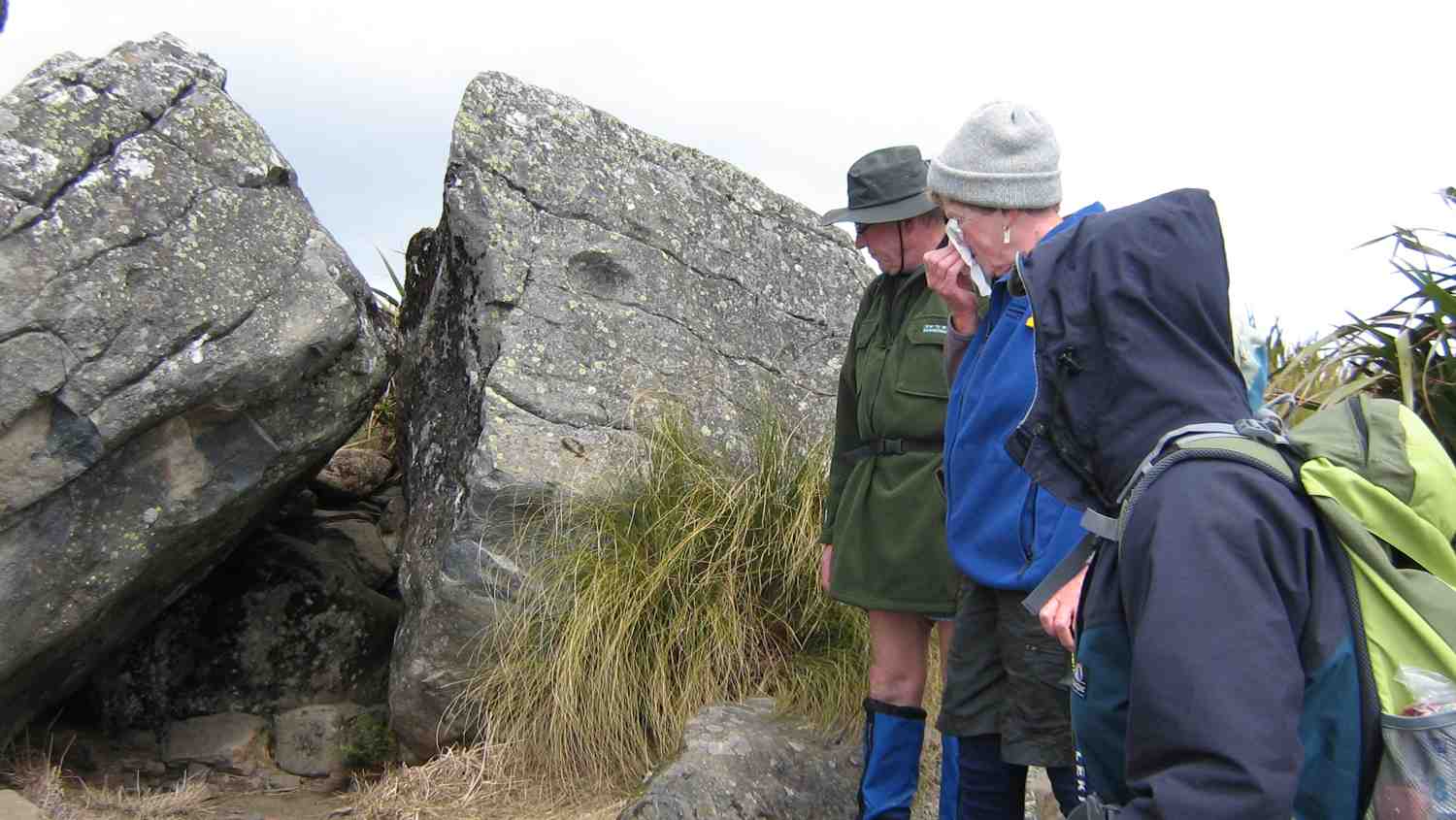
Ross explains the site of the original road out of Dunedin (photo & caption John)
This was the route of the Snowy Mountain Road, the first overland route out of the new Dunedin to the north, over Flagstaff, over Swampy, over Hightop, and on north to Johnny Jones’ Cherry Farm at Waikouaiti via what is now the Mountain Road forestry road.
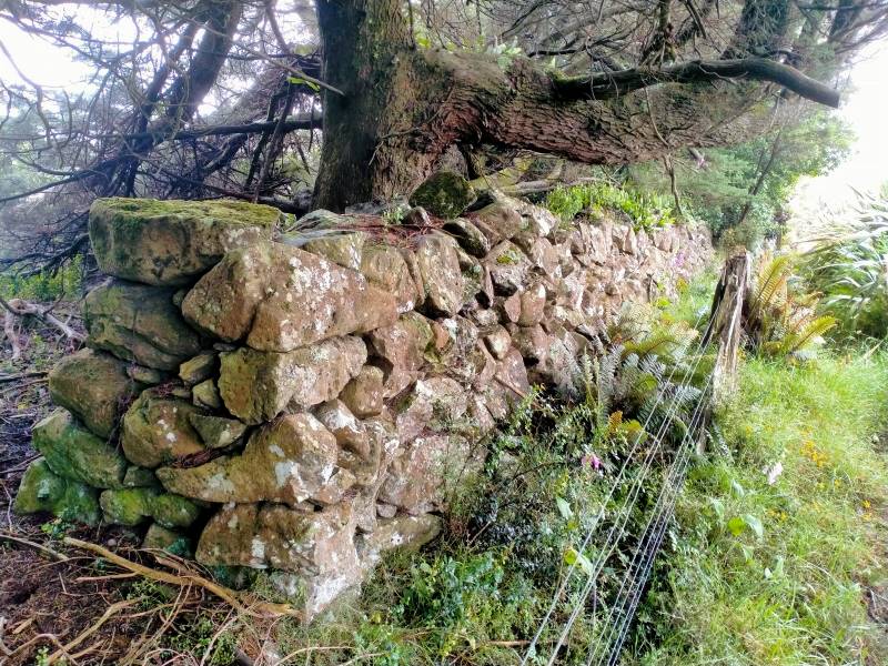
Ben Rudd’s stonewal (photo & caption Phil)
Further down we passed Ben Rudd’s stone wall, and then the site of a plane crash in 1943 which everyone survived, including the plane! From the bottom of Spiers Road it was a 30-minute street walk back to the cars, checking out the houses and gardens along the way. Most repaired to Coffee Culture in the olde Roslyn fire station for the de-brief.
Thanks Gwenda for helping out, and to everyone for sharing in another happy adventure.
Ross
Tramp details: Distance – 13 kms; height gain – 730 m; moving time – 3.75-4 hrs; elapsed time – 6.25 hrs.
Discussion afterwards agreed 4 or 4.5 for grade and I’m comfortable with 4.5 because of the extra height gain and the proportion of rough track involved.
Tramp report.
As was 10am we had our morning tea there.
Morning tea at start of Davies Track. (Helen pic and caption.)
One of our nameless men accidently left his pole there and got it back at the end. Up the track we went which wound round in places and steeper in parts. Ross Davies whose Grandfather developed the track took a turn at leading. Was very appropiate. Ended up on the Pineapple track
Group on the Pineapple track (Helen pic and caption.)
and after some rest time made out way to the top for our lunch stop.
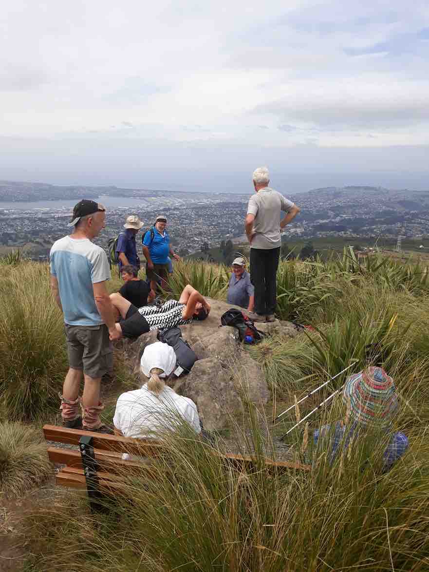
Lunch at the top and views over Dunedin. (Helen pic and caption.)
2. 20/11/2013. Trampers. Wakari Road, Davies Track, Flagstaff Walkway, Pineapple Track, McGouns Creek Extension.
We started at the top of Tanner Road. We went west along a 4WD track and turned up into Davies Track. The track through the bush was average condition. We heard mainly bell birds. At the top of the bush was where we had our morning tea. The track from this point on was through tussock and flax. The higher we got on this track, the harder it was to find. The last two or three minutes we lost the track completely. At the flat stone which generally indicates the top of the track, Neil built a small cairn of rocks there.
Then we went west along Flagstaff walk, and across a short track to the Fire Break. Then we turned right along this track to the top of the Pineapple track. By this time we had seen three other groups in the same area. We turned down the Pineapple Track, and just before heading into the bush we stopped for lunch, with a light breeze and in the sun.
Carried on down to the junction of the Pineapple and McGouns. Went south on McGouns with its steps, bridges and boardwalks to the bottom with the seats around the cairn.
Back along the 4WD track to the cars.
We met one other group plus one Botanist who was very interested in the area as such. He obviously comes from England, by his accent. – Heb.
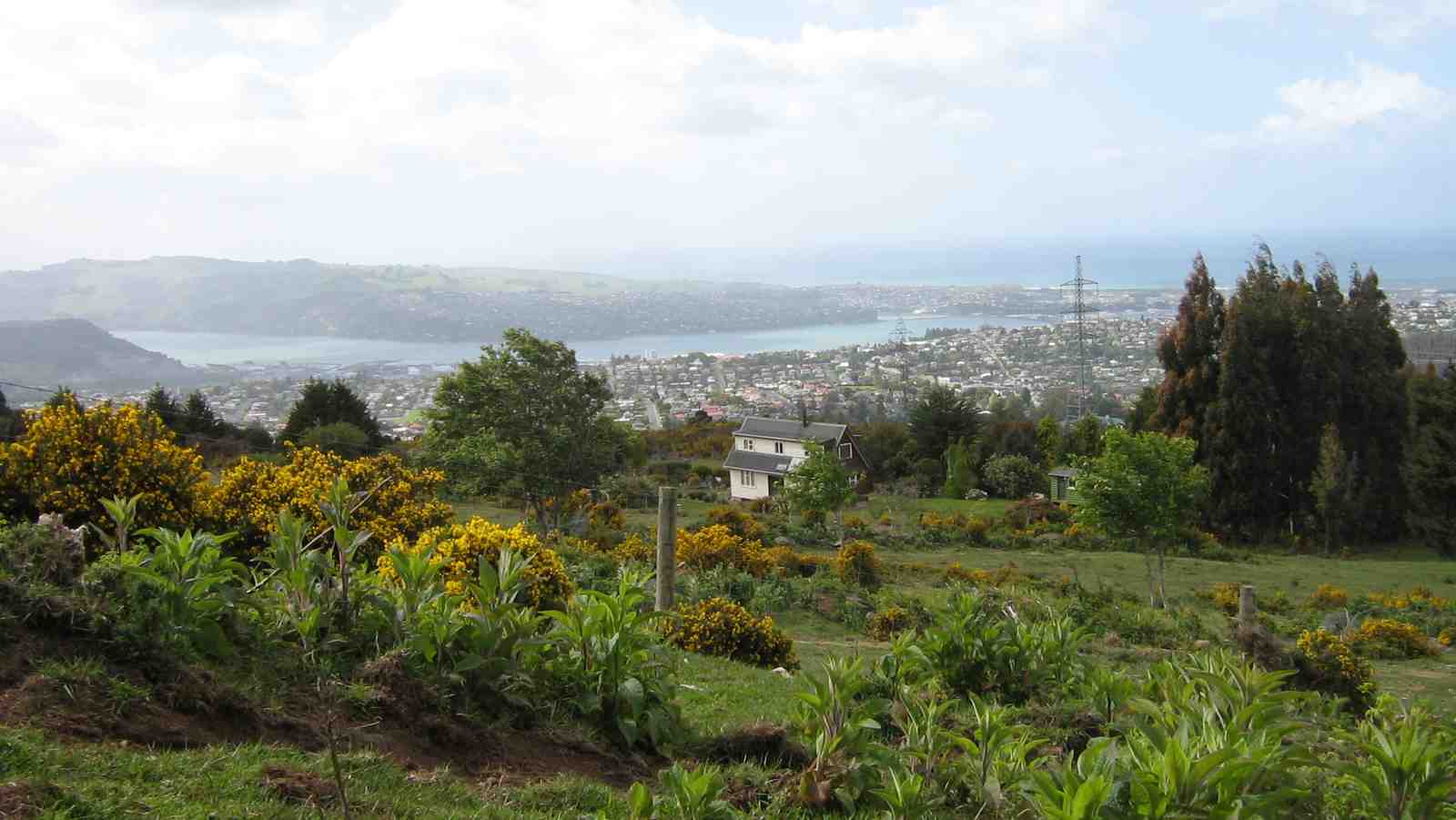
Cuppa View. (Ian pic and caption.)
Route past transmission tower. (Ian pic and caption.)
A little further and it was over another stile and through some dense scrub that could do with a pruning, through another gate up and into the waretah posted route that struck to the right and led on up to the Flagstaff Walkway.

Approaching stile. Ken, Ria. (Ian pic and caption.)
Bivvy just NE of Flagstaff trig. Ken, Sabina, Ria. (Ian pic and caption.)
Near the end of the Walkway we turned off down the Davies Track. The good bit about going down rather than up was that we were able enjoy the views, and later, the lovely woodland vista. At the bottom, we lunched at the Dunedin City Forestry 2006 Plantings Centennial stone cairn plaque seating before making our way down the road and through the McGouns Creek Track Extension back to the cars. – Ian.
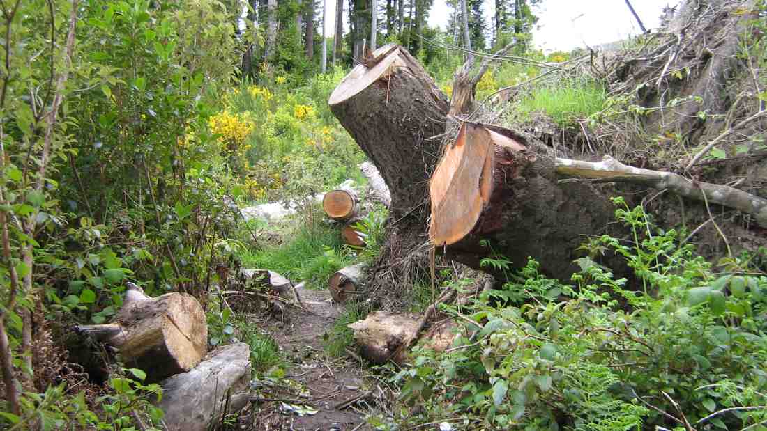
Just a bit of interest on McGouns Creek Track Extension. (Ian pic and caption.)
You did a good job.