Archive for the 'Year round' Category

Jun 28 2023

Pyramids, Victory Beach

No. 48 on old hardcopy list of 113 club tramps. “Pyramids & Beach Area. (Victory Beach) Beach Walk only. Year Round”
Location: 38 km from car park.

Topo of Area


29. 21/06/2023 Hikers Victory Beach Grade 2 Leaders: Avis and Maria

The sunny day helped top off another very enjoyable walk to and along Victory Beach.
The flywheel, the only remaining evidence from the shipwreck of the “Victory “ cargo and passenger ship in 1861, was still visible and a highlight for those seeing it for the first time. The presence or two seals stopped some of us venturing too close to the flywheel.
Morning tea in the cave of the small pyramid, lunch after traversing the sandy climb to the start of the loop walk then a break back at the small pyramid while two of our 22 walkers climbed to the top of the pyramid to gain a magnificent view of the reserve and beach. We rounded the day off with a lovely afternoon tea at Glenfalloch.

Morning tea in the cave. Caption and photo Helen

Morning tea in the cave. Caption and photo Helen

Steep drop at the edge of the beach Caption and photo Helen

Steep drop at the edge of the beach Caption and photo Helen

Fly from Victory Caption and photo Helen

Fly from Victory Caption and photo Helen

Lunch in the sun Caption and photo Helen

Lunch in the sun Caption and photo Helen

Both Pyramids Caption and photo Helen

Both Pyramids Caption and photo Helen

Continue Reading »

2 responses so far

May 26 2023

Goodwood Road, Bobby’s Head, Puketapu

Published by under Trampers,Year round

69 km from car-park

4. 24/5/2023 Mt Royal/Bobby’s Head Trampers. Grade 3.5 Leaders Graham Thurlow and Carol Thurlow.

On a calm and sunny winter’s day we arrived at the Tavora Reserve car park.

Trampers 24 May Entering Tavora Reserve Pam

Entering Tavora Reserve. Photo & caption Pam

Some of us came via various routes! As we walked along the road towards Steven Foote’s farm and then up the paddocks toward Mount Royal, Graham explained that the Goodwood Rd had been the original wagon road to Palmerston and up to the goldfields through the Pig Route.

We walked up through the paddocks turning to admire views out to the coast, and the Pleasant River estuary to the southeast.

Trampers 24 May view S over Pleasant River estuary Phil

View S over Pleasant River estuary. Photo & caption Phil

Trampers 24 May Admiring the view back towards the south coast Pam

Admiring the view back towards the south coast. Photo & caption Pam

Trampers 24 May Yes, there still are more sheep than people in New Zealand. John

Yes, there still are more sheep than people in New Zealand. Photo & caption John

Trampers 24 May Looking over Tavora Reserve. Pam

Looking over Tavora Reserve. Photo & caption Pam

Then also looking further up the coast Graham explained that the large homestead on a knob facing west, was built by the Preston family in 1904. Some of their descendants still own Longlands Station inland at the end of the Pig Route as you enter the Maniototo. This house (shown below) was once their winter residence.

Preston Homestead

The Homestead (photo taken from a real-estate listing in the NZ Herald)

Then from a point higher up as we entered the valley we looked down on Ireland Road. Graham explained this valley had been occupied by many Irish families. The Kelly’s were the last to leave. We arrived at the Foote family Hut in the valley and had lunch.

Trampers 24 May Lunchtime at the cottage Pam

Lunchtime at the cottage. Photo & caption Pam

Trampers 24 MayChef Pam takes lunch orders Phil

Chef Pam takes lunch orders. Photo & caption Phil

Trampers 24 May Up, up and more up. Hut in the background. Helen

Up, up and more up. Hut in the background. Photo & caption Helen

After that we headed straight up to the Skyline and through the gate into Simon Engelbrecht’s farm. (Formally Graham’s farm). At the top we stood beside the survey Trig marker. We viewed Palmerston below us and up to the north the Kakanui mountain range. To the west were clear views of the volcanic peaks inland from Waikouaiti including Mount Watkin.

Trampers 24 May been there done that (Mt Watkin). Photo & caption Phil

Been there done that (Mt Watkin). Photo & caption Phil

As we walked back down to the coast we observed the remnant native forest still on the farm largely ngaio, broadleaf, houhere or lacebark, totara, matai, kanuka and red matipo. Down Bobby’s Head Rd to the Tavora Reserve around the cliffs we observed seals lazing about in the sun.

Trampers 24 May Native bush in the reserve Pam

Native bush in the reserve. Photo & caption Pam

Trampers 24 May Number 7 Style, lucky for some! John

Number 7 Style, lucky for some! Photo & caption John

Trampers 24 May That Fur Seal sleeping on his back will be the one snoring! John

That Fur Seal sleeping on his back will be the one snoring! Photo & caption John

Trampers 24 May Rugged Coastline. John

Rugged Coastline. Photo & caption John

Back at the cars everyone expressed their enjoyment to be out tramping again on a good day. Our thanks to Steven Foote and Simon Engelbrect for granting us access across their farms.

Screenshot_20230525_084855_New Zealand MapsScreenshot_20230524_180351_New Zealand Maps

Continue Reading »

2 responses so far

Jan 28 2023

Outram Glen Track to Lee Stream

Published by under Hikers,Year round

No. 89 on old hardcopy list of 113 club tramps. “Outram Glen – Lee Stream Year Round”


15. 25/01/23 Hikers Outram Glen to Confluence. Grade 2 Leaders: Eleanore and Judy

On a clear still day at 9:15am, 23 of us met at the start of track carpark ready to hike the river track to the meeting of the waters where Lee Stream flows into the Taieri.
For some this was a new hike and a revisit for others.

We live in an amazing part of the country Caption and photo Mike

We live in an amazing part of the country Caption and photo Mike

After a pleasant half hour walk we arrived at the river beach for smoko, knowing we had a solid climb up through the well placed rock steps for quarter of an hour.

Some flat Caption and photo Helen

Some flat Caption and photo Helen

Some parts of track were damaged a few years ago by washout flood damage therefore, maintained as a route standard only with care required.  After we climbed the well-placed rock/wood steps, it was then a long traverse above the Taieri River for just over an hour and a half—often stopping for a breather. It was good to see the unusual crop of potatoes amongst the grass knowing we had arrived at the Confluence.

At the confluence Caption and photo Helen

At the confluence Caption and photo Helen

Lunch on the Lee Stream Caption and photo Mike

Lunch at the Lee Stream Caption and photo Mike

Lunch in the long grass for some Caption and photo Chris

Lunch in the long grass for some Caption and photo Chris

After a leisurely 40-minute lunch and toilet stop, we returned down the track, also stopping often to walk as a group.  Trip back was 15 minutes quicker than trip up. We walked 9km altogether.

On the way down Caption and photo Helen

On the way down Caption and photo Helen

Coffee and cake were shared at Topiary (Wal’s) Cafe by most of us, Trampers arriving back to join in after their Hope Hill outing.

Outram Glen is a great bush walk, close to home.  Care needed after rain.  Today track very dry with blue sky and about 23 degrees.  Thanks to Judy D. for her caring role as my Tail Ender.  Hopefully, you all enjoyed the day as much as I did.
Eleanore


Continue Reading »

No responses yet

Jan 15 2023

Silverstream Water-Race, Racemans, Weir

Published by under Hikers,Year round

No. 40 on old hardcopy list of 113 club tramps. “Silverstream Weir. Racemans. Winefields. Year Round”
No. 107 on old hardcopy list of 113 club tramps. “Whare Flat – Silverstream Weir Year Round “
Origins and History of Racemans Water-race and Weir

20. 11/01/2023. Racemans Circuit, Trampers. Grade 4 (regraded 3 – see below). Leaders: Neil Hodgkin, Julie MacKenzie.

Trampers: 10 women, 4 men
Weather: Low cloud, drizzly, calm, 16 degrees
Track: 14 kms, 3.5 hours walking and 170 m height gain.
A good, mainly flat walking surface, the odd muddy patch, and sometimes short, sharp, steep, descents/ascents in and out of side creeks.

IMG_4714 Pam Res 640

Striding out at the start of Raceman’s (photo and caption Pam)

Several crossings of the Silverstream and even though the flow was low, care was needed and poles were helpful with slippery and unstable rocks.
As a first up tramp for 2023 it was great and a very suitable tramp for the weather conditions. In the bush there was no precipitation and no wind. We had the usual stop for smoke-o …

IMG_4716 Pam Res 640

Morning tea at the junction with Tunnels track (photo and caption Pam)

IMG_4720 Pam Res 640

Abandoned water pipe on track (photo and caption Pam)

IMG_20230111_111601362~2 Ross Res 800

Strange objects in several places along the track. Much speculation about what they are/were. No conclusions. Any ideas? Feel free to use the Comments section at the bottom of the page. (photo and caption Ross)

…and got to the weir about midday…

IMG_20230111_114053094~2 Ross Res 1400

Silverstream top weir (photo and caption Ross)

…but decided to move on down the track for lunch where it was less noisy.

IMG_4725 Pam Res 640

Lunch taken between intermittent light drizzle (photo and caption Pam)

On our return I as leader came face to face with six barking and not so friendly dogs who were eventually followed by a female runner who didn’t seem to worry. She said that the dogs were barking because we had sticks, but I didn’t believe her. What goes up must come down so we were expecting their return and when we heard them approaching we all stood off the track, sticks by our sides and gave them a TRTC guard of honour!

Grading: The grade of this tramp is solely dependent on the flow and depth of the Silverstream. The way it was on Wednesday, I’d put it at 2.5 – 3, but with more water it would certainly be a 3 -3.5 I think.

Neil.
Continue Reading »

No responses yet

Dec 04 2022

Post Office Creek, Reid’s Station

Published by under Trampers,Year round

 No. 27 on old hardcopy list of 113 club tramps. “Mahinerangi – Post Office Creek. J Shaw. Year round.”
Impassable gorse-infestation beyond old Waipori School building (aft 2008).
33 km from car park.
18. 30/11/2022. Trampers. Post Office Creek track from the Waipori Village side. Grade 3. $14. 60km. Leaders: Barbara and Leah.
Despite ominous weather predictions for several days prior to the 30th, and heavy rain early that morning, the visual was more promising.Three vehicles and 14 trampers left the Peter Johnstone carpark heading towards Berwick and up the Waipori Falls Road, through the Village and continuing towards Lawrence. The big, locked orange gate, although on a side road, can’t be missed! Through the locked gate, past the new picnic area, following the road below the Mahinerangi Dam to cross the bridge and climb up into the Wenita section of Dunstan Road. The potholes aren’t for the fainthearted.
About to leave the cars - John

About to leave the cars (photo & caption John)

The walking track is off Patearoa Road which itself is off Moonlight Road and we parked at the junction of the two. The permit was left visible through the windscreen.

Excited to be ready to go - John

Excited to be ready to go (photo & caption John)

A quick morning tea, and the party set off on the 1km down-hill (remember what goes down at the beginning of the day must go up at the end!!) to the rustic signpost indicating Post Office Creek track. There was a brief delay while one driver (nameless) went back and spent a frenetic 5 minutes searching for car keys in order to lock the vehicle. Having found the keys in the backpack, they were left on the ground while the pack was rezipped. The person (also nameless) who had ferreted them away while the rezipping was underway should be afraid; very afraid! A brief detour a few minutes down the track proper took us to the now dilapidated fishing huts.

Fishermen’s Hut hidden in the trees above lake Mahinerangi - Pam

Fishermen’s Hut hidden in the trees above lake Mahinerangi (photo & caption Pam)

“Watch your head John” as the track winds under the overhanging rock - Pam

“Watch your head John” as the track winds under the overhanging rock (photo & caption Pam)

A scramble back up the track and we were crossing the first of the creeks and negotiating the rock bivvy.

PO Creek rock bivvy2 - Barbara

Post Office Creek rock bivvy (photo & caption Barbara)

The entire track follows the contour of the slope with very little up or down. Many of the guts had bridges in varying degrees of disrepair but which, it’s understood, are likely to be removed entirely in the near future, after the maintenance work in the forestry has been completed. The tracks will be realigned to navigate the guts minus bridges.

One at a time crossing the old wooden bridge - Pam

One at a time crossing the old wooden bridge (photo & caption Pam)

Pigs had been digging up the track which left it nice and soft underfoot and there were a few fallen branches we cleared as we went.

escaped from the forest (Jenni)

Escaped from the forest (photo & caption Jenni)

We left the canopy cover of the trees as we neared the re-sited Waipori School buildings where we sat and had our lunch. Half the group elected to follow Jill to the actual Post Office Creek while the remainder sat and chatted, walked down to the lake edge and poked around the buildings.
Disappointingly there was no fishing or poetry recitation.

Lunch beside the relocated school house once used by musterers - Pam

Lunch beside the relocated school house once used by musterers (photo & caption Pam)

Our industrious leader with historical info - Jenni

Our industrious leader with historical info (photo & caption Jenni)

On the return of the wanderers, we set out again, retracing our steps, looking out for litter to take back to our vehicles. The last uphill kilometer was unwelcome but all 14 made it. A change of footwear, a little shenanigans with someone’s pack and sticks, and we headed back to the locked gate, this time heading to the right, over the Lake Mahinerangi causeway, through the fishing village and back to the Middlemarch Road at Lee Stream, enjoying a commentary from Jill who, for several decades, had farmed the property on both sides of the road.

End of track at Post Office Creek - Pam

End of track at Post Office Creek (photo & caption Pam)

One carload stopped for an icecream at Outram ($2 for 2 scoops being excellent value!), but weren’t joined by the other two, who must have thought 4.30pm too late for such extravagance!

An enjoyable day on an easy track which could well be considered for a combined day.
It would be possible to leave a 4WD vehicle at the bottom of the hill, at the signpost for the track, as we did on the recce, shortening the distance by 2 km.

Barbara

Continue Reading »

No responses yet

Nov 24 2022

Sullivans Dam, Cloud Forests, Escarpment, Cowan round trip

Published by under Trampers,Year round

Cloud Forest and Escarpment

Map: Sullivans Dam, Cloud Forest, Telegraph (Old Bridal) track to Pigeon Flat, Escarpment Track, Cowan Rd, Short Cut to Fox Rd, down to Sullivans Dam – drawn 2002. (Click to enlarge)


10.  23/11/2022. Trampers. Three Peaks, Escarpment, Cloud Forest Loop. Grade 3.5. 26km. Leaders: Clare Noakes, Jill Reid.

Pam IMG_4348 Res 1200

Sunshine start at Sullivans Dam (photo and caption Pam)

15 trampers set out around the lovely track around Sullivan’s Dam but we soon had to turn right up the hill that stated ‘for experienced trampers only’!

John DSC06174 Res 1000

One of many old signs on our route (photo and caption John)

This track is an overgrown mostly-boardwalk that goes up and up through a patch of majestic Rimu, Totara and Miro to the Pylon Road. On the way we passed a bush telephone and a fairy grotto!

Pam IMG_4349 Res 1000

Boardwalks (photo and caption Pam)

Marijke IMG-6455 Res 1000

Telephone box, just in case you need it (photo and caption Marijke)

Morning tea was had under the pylons watching 2 helicopters below us loading up to do some spraying.

John DSC06171 Res 1800

Morning Tea in a clearing (photo and caption John)

After refueling we set off on the escarpment track, firstly through gorse then mud, fallen trees and a rock climb up to the magnificent view from Pigeon Rock.

Pam IMG_4357 Res 1000

Some misjudged their footing! (photo and caption Pam)

Just when we thought the worst was over we came upon 2 huge pine trees crossing the track. However everyone made it safely over, then it was a short scramble up Pigeon Hill to lunch.

John DSC06176 Res 1400

Lunch time hilarity over Neil’s boiled egg (photo and caption John)

Marijke IMG-6462 Res 1800

View from Pigeon Hill – I just love those big skies! (photo and caption Marijke)

The challenge after lunch was to follow the blue ribbons to Mt Cargill, this proved little trouble thanks to some tall scouts who could spot them among the growing pines.

Pam IMG_4369 Res 1600

Down hill from here (Cowan Road) (photo and caption Pam)

Once out on the road with the sky growing darker it was a fast trip down the 3 Peaks track back to the cars where the heavens opened! Good timing team! This is a lovely, varied track with lots to keep you interested. All seemed to enjoy it even the harder parts. Thanks for a great day out – Clare. Continue Reading »

No responses yet

Nov 06 2022

Karitane beach to Huriawa Pa, Beach walk

Published by under Hikers,Year round

No. 12 on old hardcopy list of 113 club tramps. “Karitane to Maori Pa and Beach Walk. C Tither. Year Round.”

Pa accessed from Karitane wharf. 2 hr ret. Walking Track. – Manager: DOC.

If you want a history of Huriawa Pa, Sir Truby King or early Methodist missionary James Watkin, it’s all just a click away here.

57 km from car park.
24. 02/11/2022. Combined. Karitane. Grade 2.  $13. 56km. Leaders: John and Dave R
In our tramping and hiking endeavours, many factors are beyond our control. The weather is our greatest variable, but not the only one. This time it was Covid that scuttled our planned visit to the Puketeraki Marae.
Puketeraki Matarae (Pam)

Puketeraki Matarae (photo & caption Pam)

Many thanks to Mauraka for agreeing to host us when I phoned to arrange the visit. Get well Mauraka. A key part of the Puketeraki Marae visit was the Powhiri (welcome). Googling this, did cause some consternation, appearing to be more involved and complex than expected. Thanks to Barbara and Grant, for putting my anxiety to rest, by offering to manage this part of the visit for me. Yet another example of the depth of expertise within our membership. Sometimes things just don’t go to plan.
Morning Tea above the Puketeraki Marae - John

Morning Tea above the Puketeraki Marae (photo & caption John)

Subsequently, with a “glass half full” philosophy 27 keen hikers and trampers began their combined adventure at the Marae. Spending morning tea overlooking the beautiful settlement, the bay, peninsula, and beach that is Karitane.
On the Huriawa Pa track - Pam

On the Huriawa Pa track (photo & caption Pam)

Under blue skies we drove back to the reserve, where we regrouped at 11.00am, and began our walk. With a slightly chilly wind and choppy high tide waters in the bay, it was a relief to get out of the wind, on the more sheltered track around the Te Awa Peninsula.
Dramatic hole in rock - John

Dramatic hole in rock (photo & caption John)

Here we followed the well-formed track, passing the spectacular Te Awa Mokihi (Butterfly Bay), the imposing Pa-katata Cliffs, and the unique Ke Pehu’ Blow-holes, before passing The Pinnacles, (a group of offshore rocks).
Gathering up for the views - Helen

Gathering up for the views (photo & caption Helen)

With lunch beginning at 12.15pm overlooking Karitane Beach the day was right back on track, and spirits were high.
Lunch stop - Marijke

Lunch stop (photo & caption Marijke)

Heading back - Marijke

Heading back (photo & caption Marijke)

Interesting Stone sculptures -Pam

Interesting Stone sculptures (photo & caption Pam)

After lunch we walked down to the beach, joined by an unusual looking, resident old dog, who stayed behind to devour a dead seagull he found on the beach!
The beach was like a magnet - John

The beach was like a magnet (photo & caption John)

Our group got well and truly spread out on the beach, that we had pretty much to ourselves, with people walking at their own pace, enjoying the pristine surroundings, clear sands, and gentle sea breeze.
Special thanks to Dave, for his efforts as tail end Charlie in these conditions, (I know it’s just against your nature to be behind, or to go slow Dave!) By about 1.30pm we had all regrouped at our starting point on the beach, and following a short street-walk were at the Karitane Store for an ice cream at 1.45pm.
Ice creams. Very hot so needed - Helen

Ice creams. Very hot so needed (photo & caption Helen)

Blueskin Cafe’ was reached, dead on time, at 2.15pm for alfresco Coffee.
Looking back onto Huriawa Peninsula and Pa - Pam

Looking back onto the Huriawa Peninsula and Pa (photo & caption Pam)

In summary, Karitane is such a beautiful spot, one the club has visited many times, but one that never fails to delight. Ideal for our diverse group with varying abilities, it allowed flexibility for people to safely go at their own pace, yet permitted lots of interaction between hikers and trampers. The Grade 2 classification seems appropriate, with just over 7 Km walked.

Map (screenshot by Margreet)

Map (screenshot by Margreet)


Continue Reading »

No responses yet

Oct 17 2022

Frasers Gully

Published by under Hikers,Year round

No. 92 on old hardcopy list of 113 club tramps. “Frasers Gully – Brockville Rd Year Round”

16 km from car park.


31. 12/10/2022. Frasers Gully and Friends Hill. Leaders Jay and Jan

On a fine morning, not too hot for our climb up Friends Hill, 19 hikers commenced our hike from PJ Park along the Silverstream, turning up a greenway onto Centre Road and over to Hagart Alexander Road until we came to a track taking us along to Wingatui Road, stopping to pat a couple of handsome horses and spotting a couple of rabbits along the way.  From Wingatui Road we turned left into Gladstone Road where we stopped at the Wingatui Raceway to fortify ourselves with morning tea before the climb.  It was a pleasant day for the climb thankfully and we took our time, stopping frequently to admire the panoramic view behind us!  We were pleased to eventually reach the top about 12.15pm and settled comfortably down with a stone wall to rest our backs on, to relax and eat our lunch.  After lunch it was all down.  We walked down the road a little, turned right down a track between farmland and on down past the Water Treatment Plant, along Dalziel Road and into the commencement of Frasers Gully track.  This track was in great condition despite a bit of rain the day before and after an hour 10 minutes arrived at the bottom of the hill with a lovely big comfortable bus awaiting to take us back to PJ Park.  The trip was 15ks which the body felt as it was a little longer than we were used to.  However we survived, and some of us adjourned to the Wooden Table for refreshments and a chat about the day.

12 Oct Friends Hill Morning tea at Wingatu Racecourse Ady

Morning tea at Wingatui Racecourse (Photo & caption Ady)

12 Oct Friends Hill Going up hill Noi

All uphill (Photo Noi)

12 Oct Friends Hill Great views noi

Great views (Photo Noi)

12 Oct Friends Hill Going over the stile Noi

Re grouping at the gate (Photo Noi)

12 Oct Friends Hill Frasers Gully lunch Noi

Lunch time (Photo Noi)

12 Oct Friends Hill Frasers Gully Margreet

Frasers Gully (Photo Margreet)

12 Oct Friends Hill Margreet

Frasers Gully (Photo Margreet)

12 Oct Friends Hill Strava map

Jan and Jay

Continue Reading »

No responses yet

Sep 21 2022

Ross Creek and environs

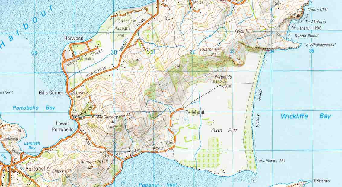
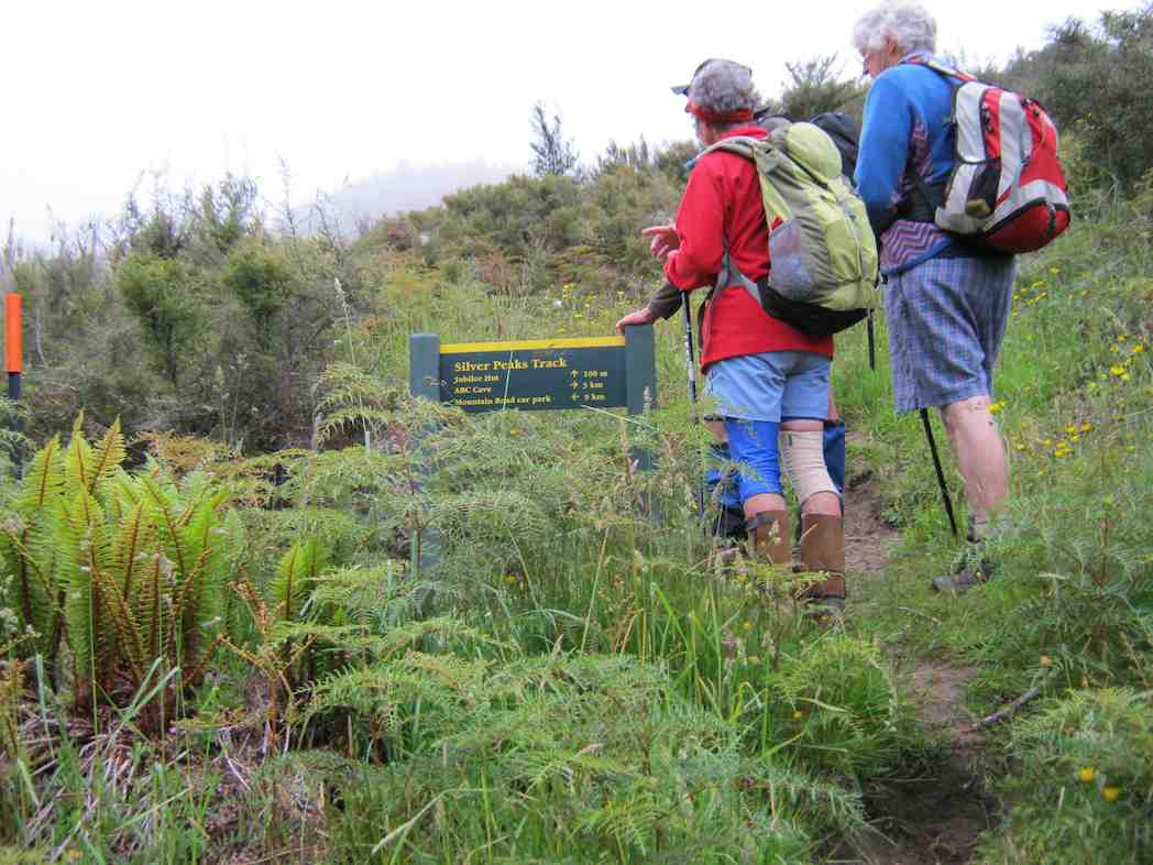
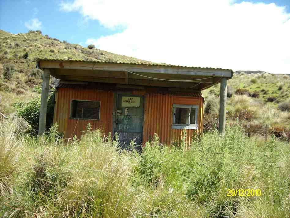
No. 94 on old hardcopy list of 113 club tramps. “Ross Creek – McGlashan College Year Round” 17 km from car park.


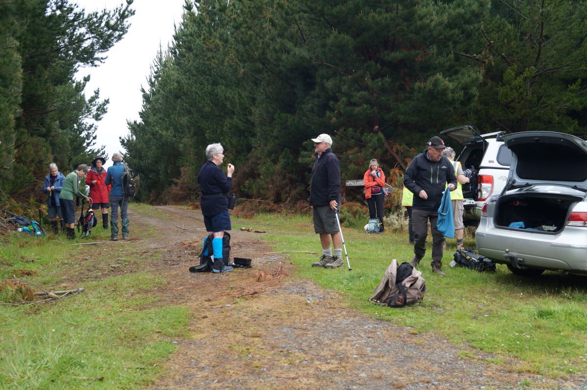
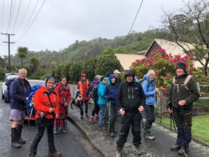
33. 21/09/2022. Ross Creek. Hikers Grade 3 Leaders: Pam Clough and Jay Devlin.

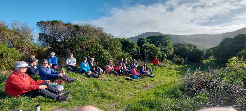
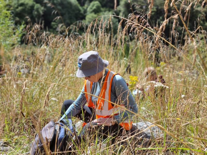
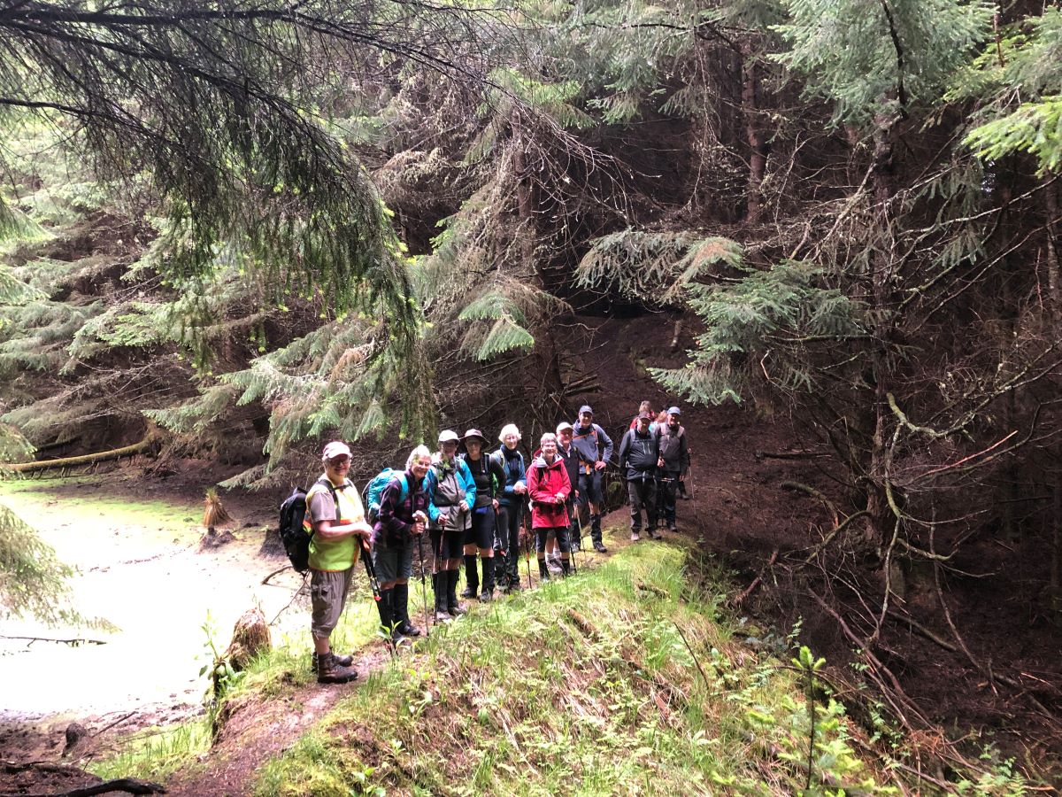
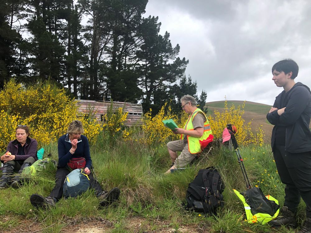
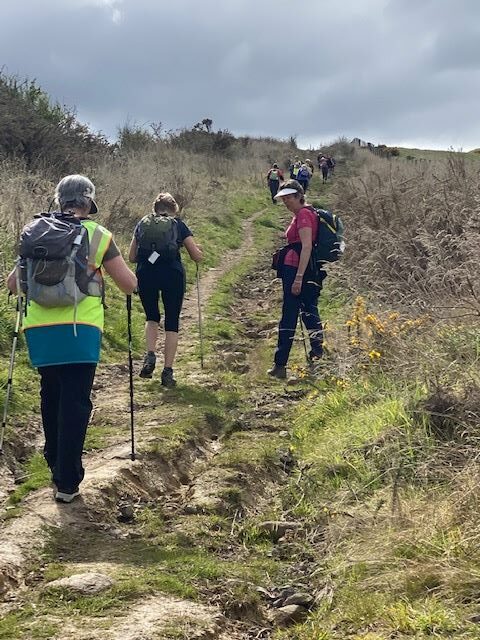
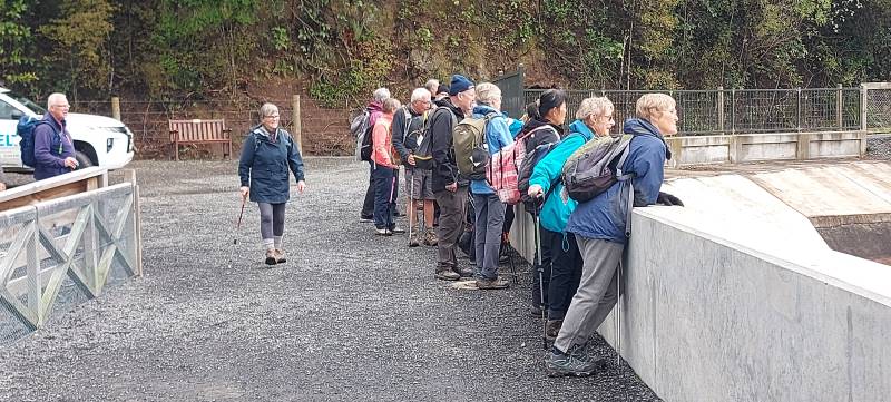
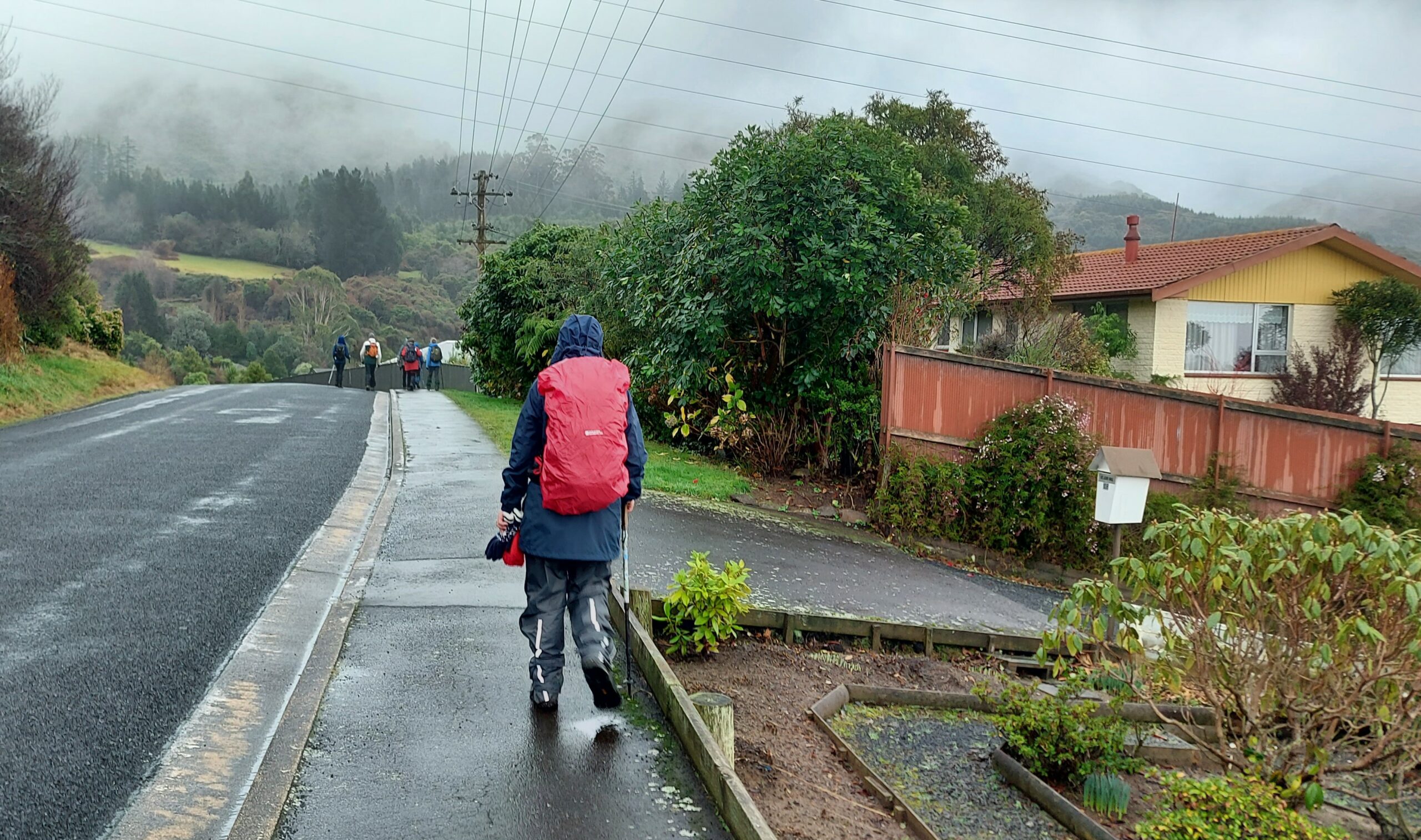
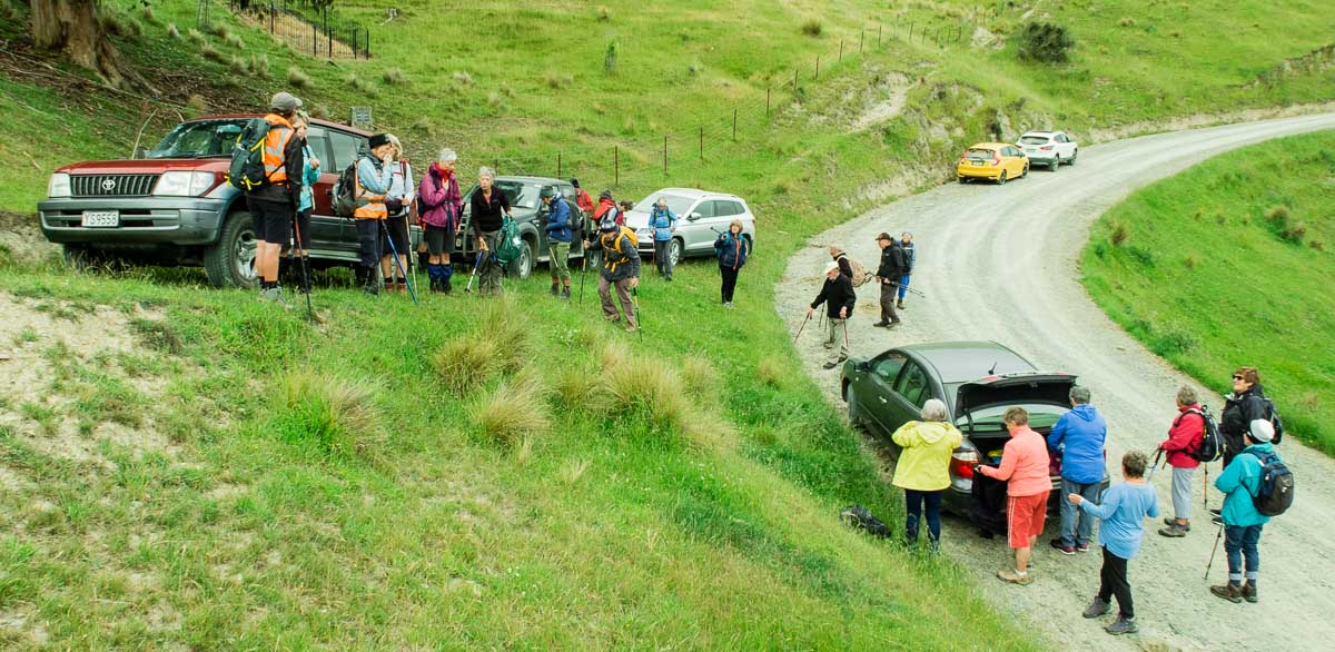
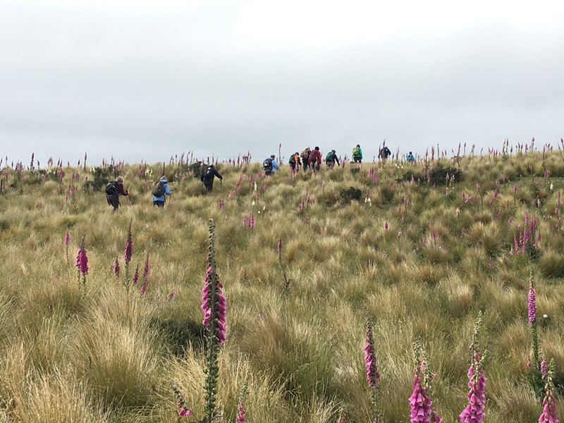
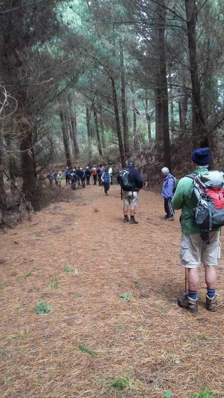
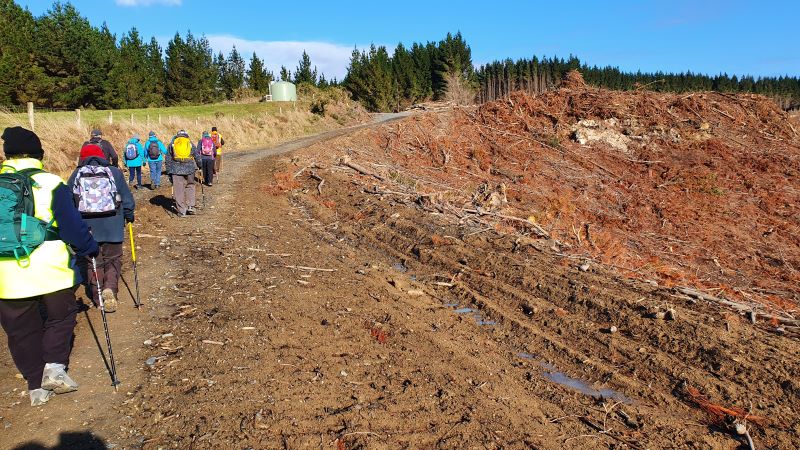
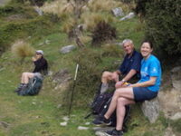
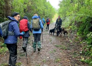
24 Hikers and trampers parked in Rockside Road close to the Leith Valley Holiday Park.  The day was pleasantly fine with no wind.   We started our Ross Creek walk on Rockside road which took us on to a lovely meandering bushy track. We came out opposite Woodhaugh Gardens where we stopped for morning tea.

Morning tea

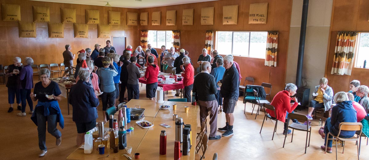
Morning tea Caption and photo Helen

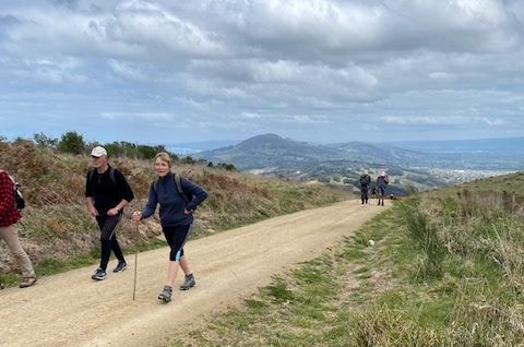
After that we left the Gardens and crossed the road over to the Queens St Track which gave us lovely views over Dunedin and the Stadium.  We crossed over Warrender St and kept on Queens Drive. We then turned right into Cosy Dell Road, which is very narrow, so care was taken.  We headed on to Cannington Road and did a loop through Brayside Cres and Cairnhill St where we were treated to fabulous gardens with spring flowers and beautiful magnolia trees not to mention the lovely homes.

We were treated to lovely cherry blossom along the way

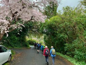
We were treated to lovely cherry blossom along the way Caption and photo Marijke

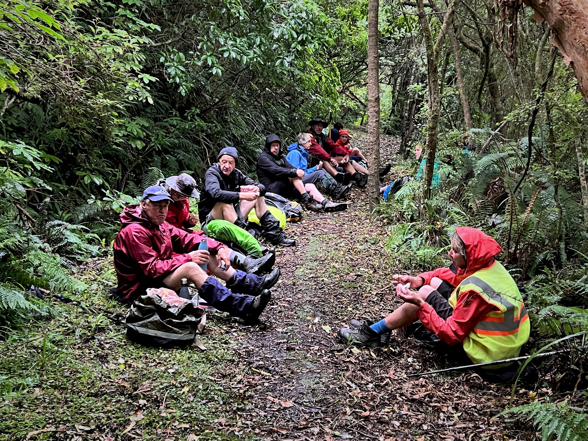
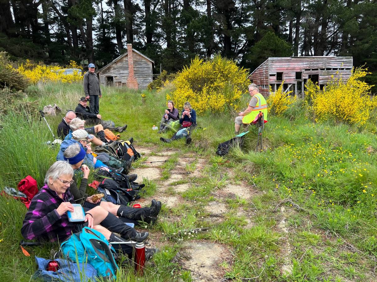
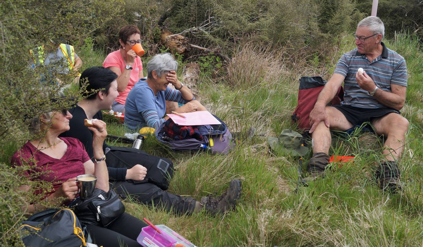
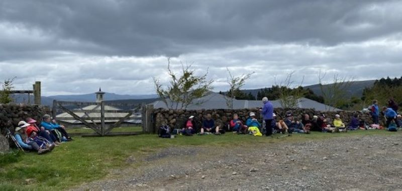
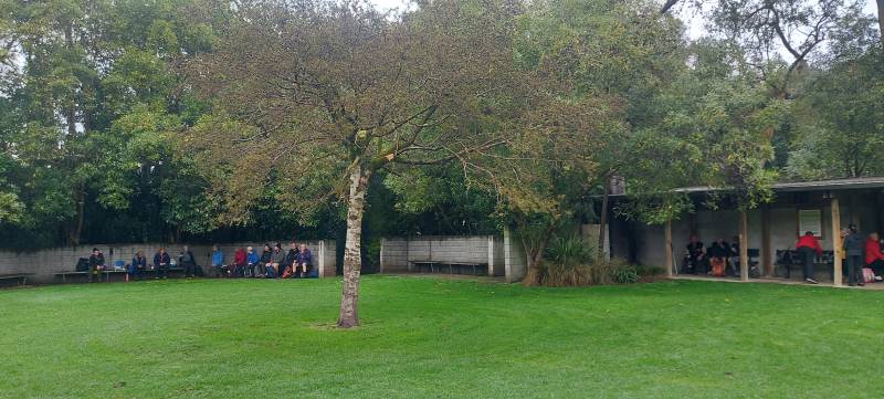
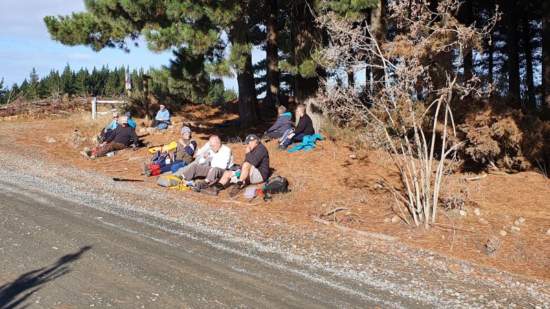
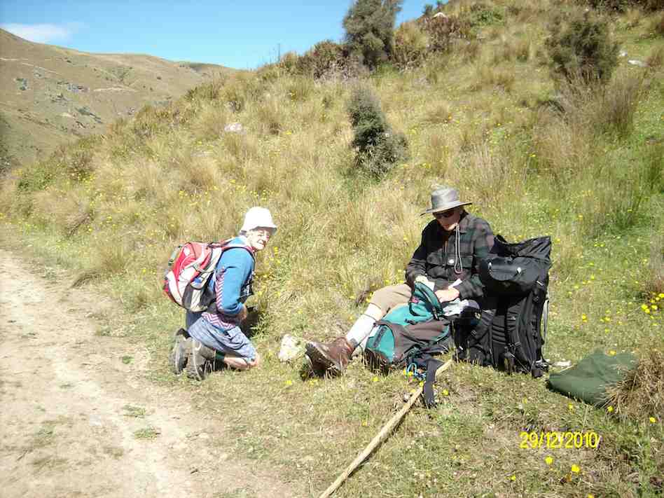
We then ended up at John McGlashan College where we had a leisurely lunch break.

Lunch

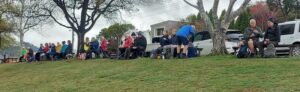
Lunch Caption and photo Helen

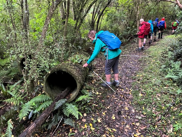
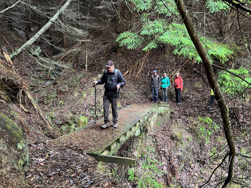
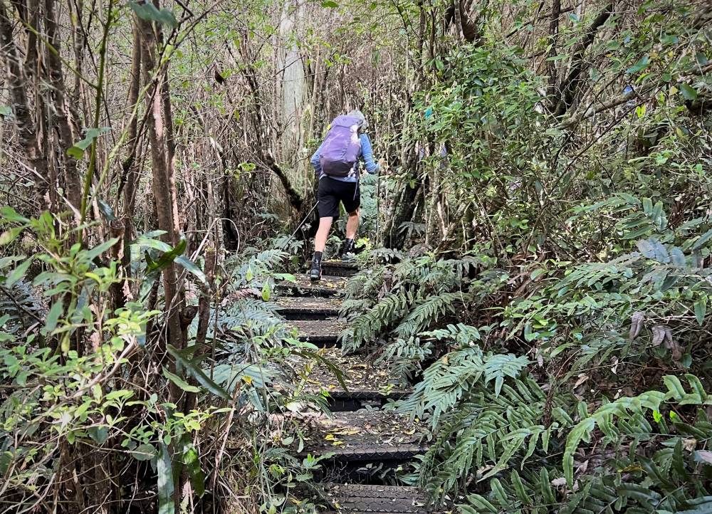
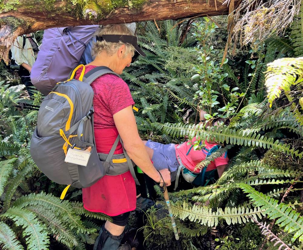
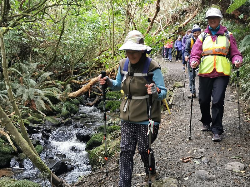
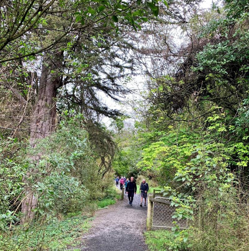
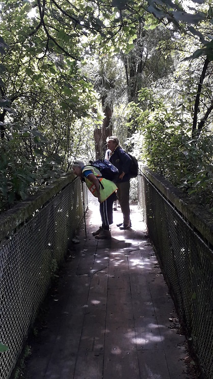
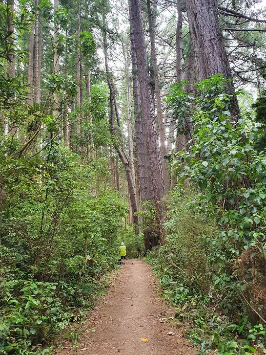
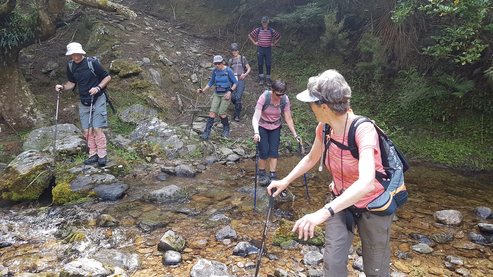
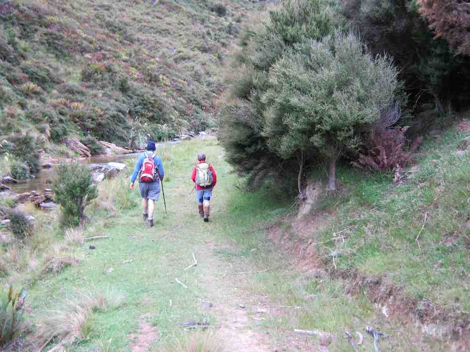
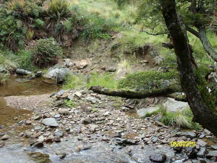
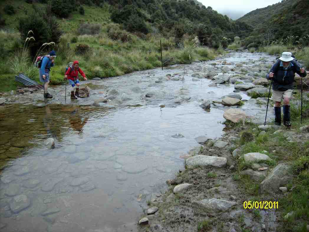
After lunch we then went on to the Ross Creek track where we had to negotiate some very steep steps and a small creek crossing where luckily no one fell in. This track is most attractive with lovely bush, creek and birdlife.

Reservoir

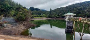
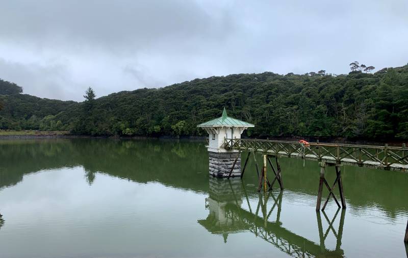
Reservoir Caption and photo Helen


Group at reservoir

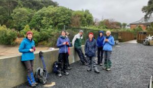
Group at reservoir Caption and photo Helen

The last mile, nearly back at the cars! The lush greenery is so nice at springtime.

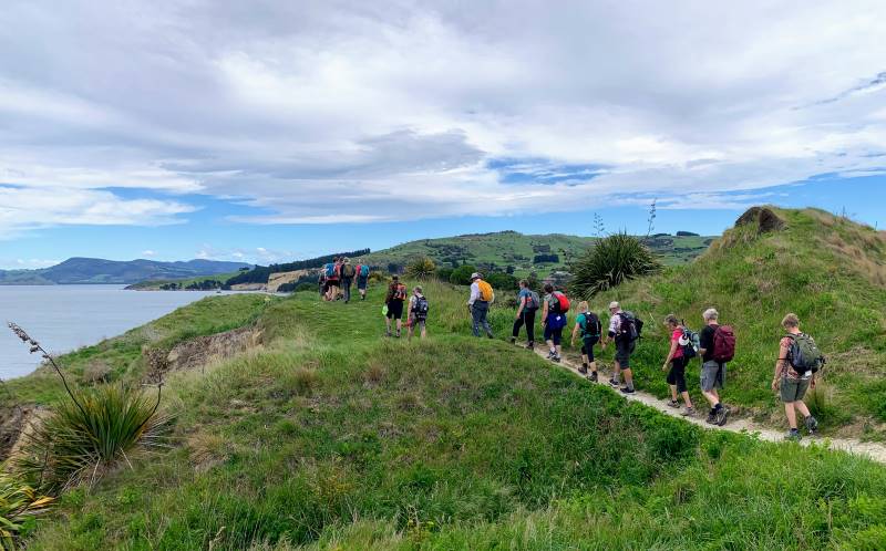
The last mile, nearly back at the cars! The lush greenery is so nice at springtime. Caption and photo Marijke

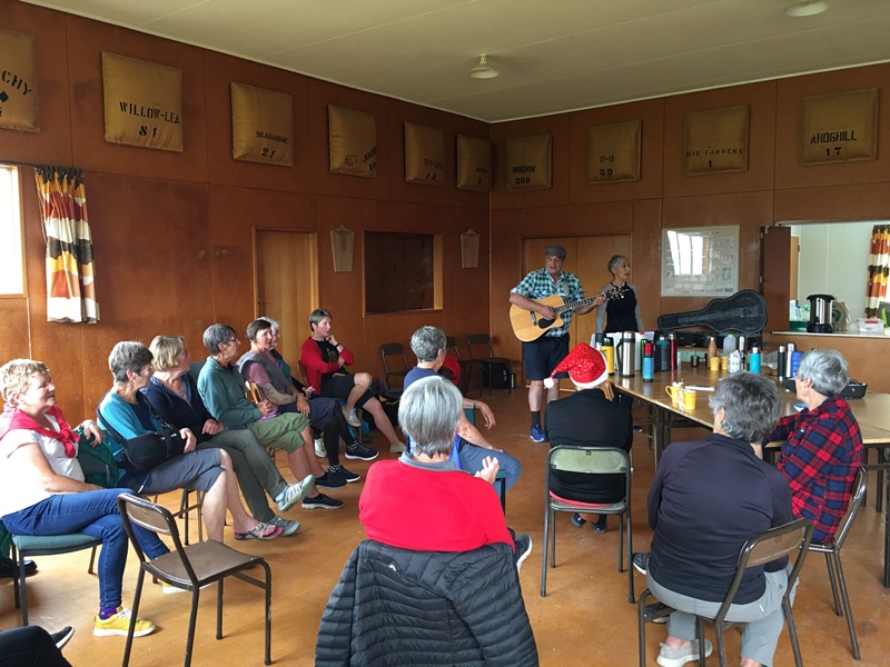
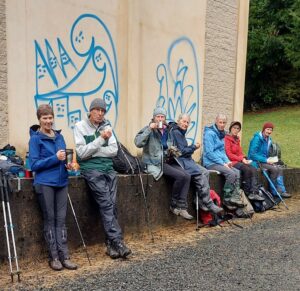
Back to the cars.  Coffee at Sunnyvale.


32. 20/07/2022. Ross Creek Leaders: Phil and Helen Morris

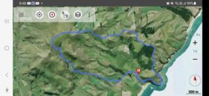
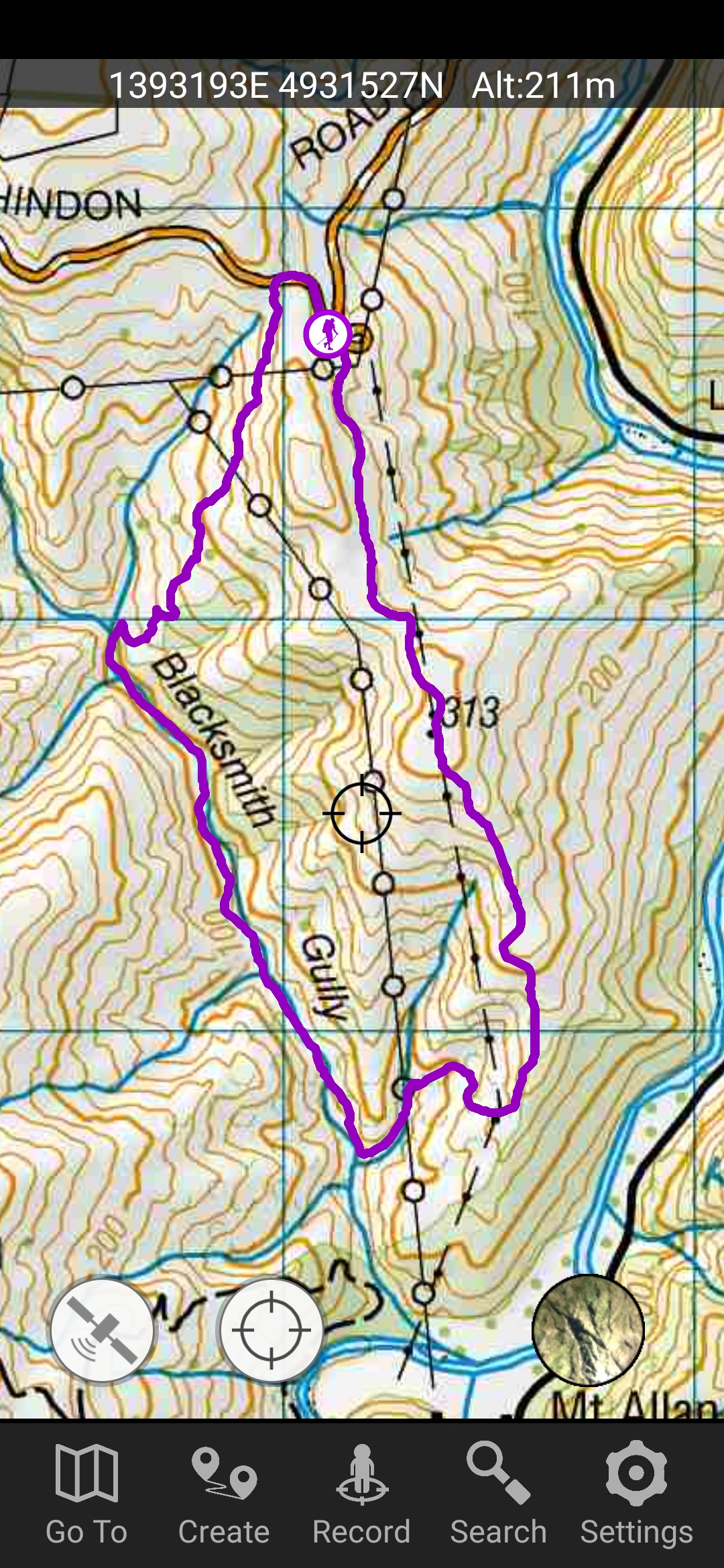
Wakari Bike car park/Polwarth, Burma Roads Ross Creek/Leith Valley/ Rockside, Tanner
Road/McGouns, Pineapple/ Wakari cycle track 10km amblers.

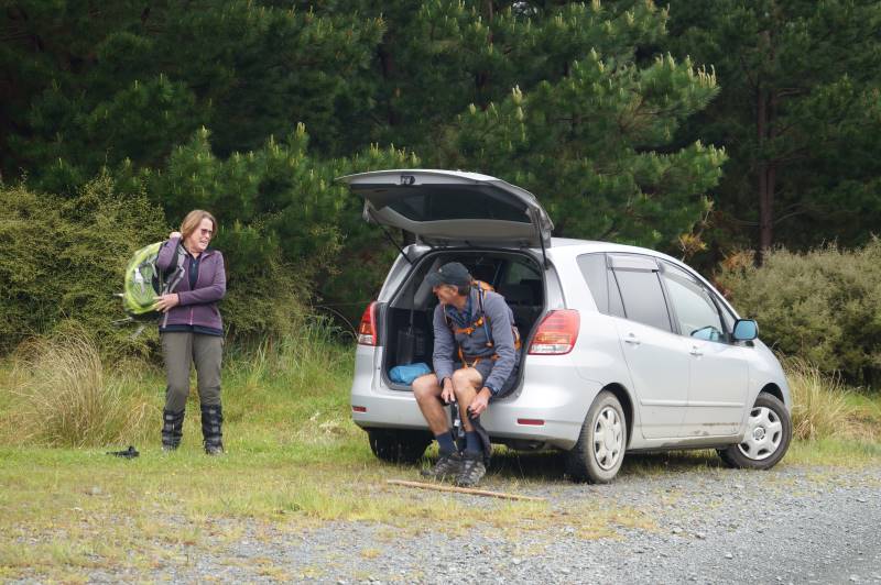
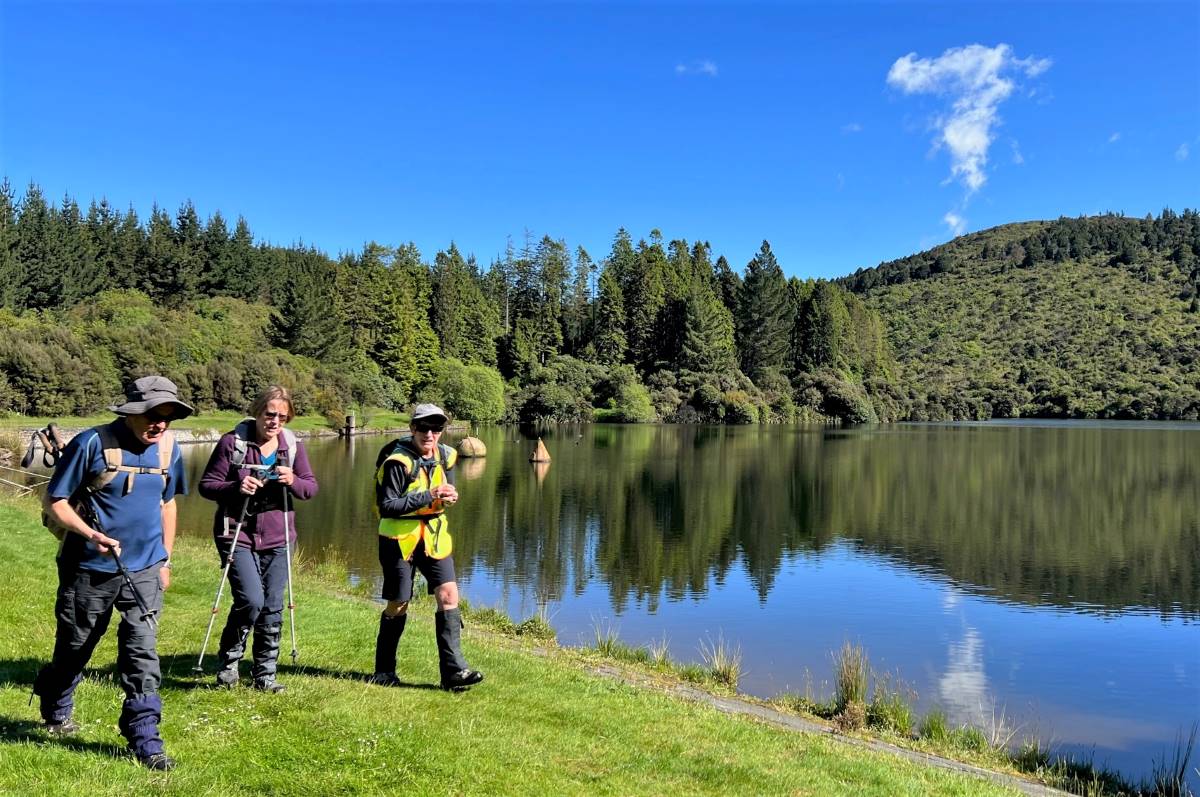
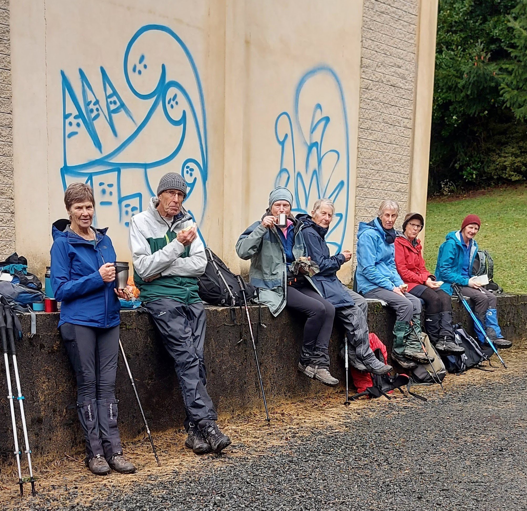
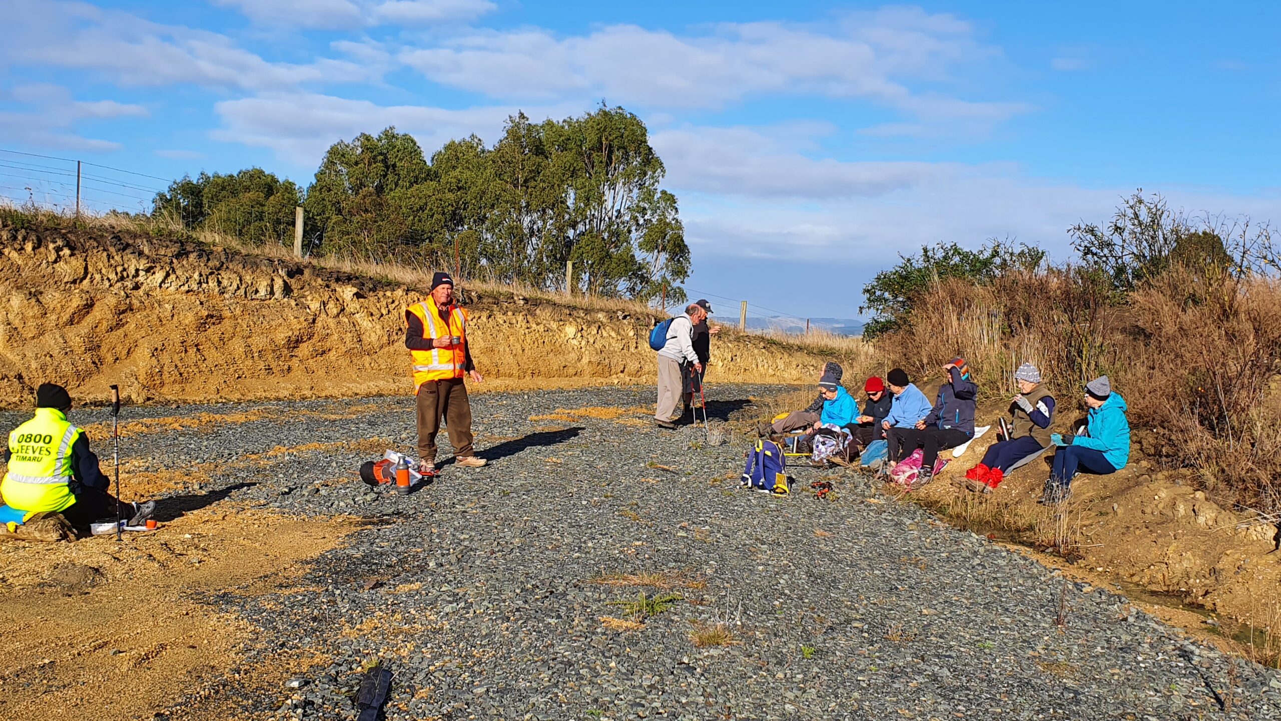
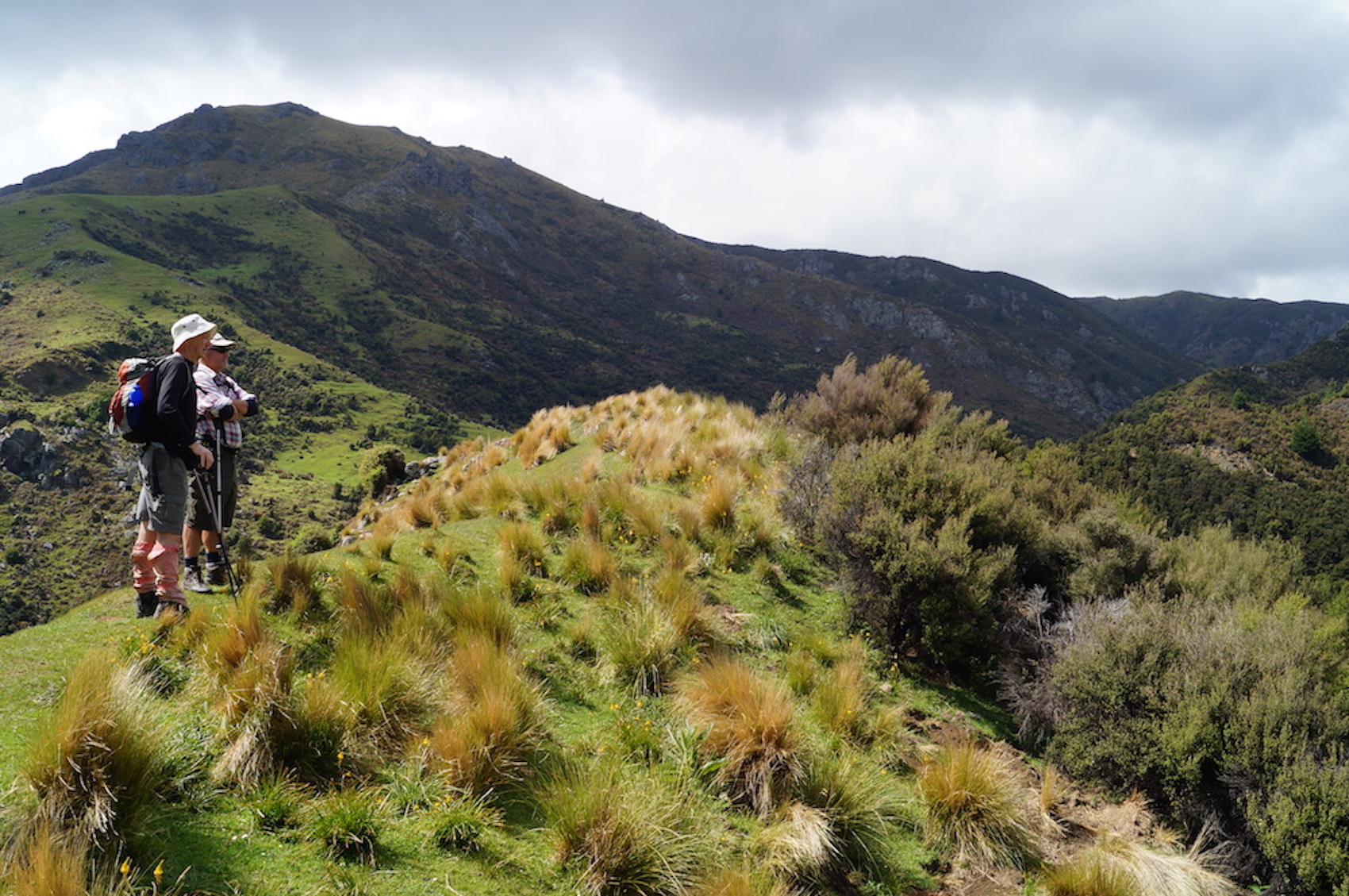
In a misty start we left Peter Johnstone Park and arrived at the Wakari bike car park at 9.50am. 8 trampers headed off down Polwarth Road, taking in some new houses in Redwood Lane. We then turned right into Burma track and then left into the track to the reservoir. As we had some hills in the tramp refuelling at the reservoir was required (morning tea).

20 July Ross Creek trampers morning tea

Morning tea break (Photo & caption Marijke)

20 July Ross creek trampers reservoir

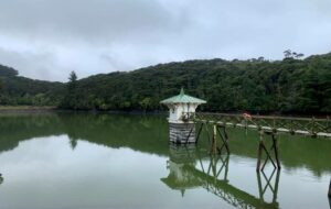
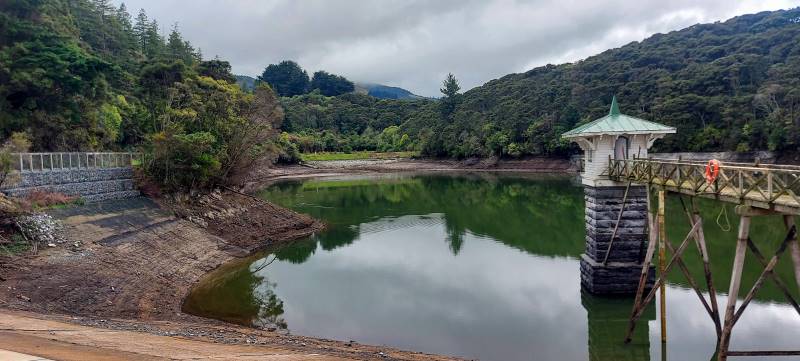
Ross Creek Reservoir and Valve Tower (Photo & caption Marijke)

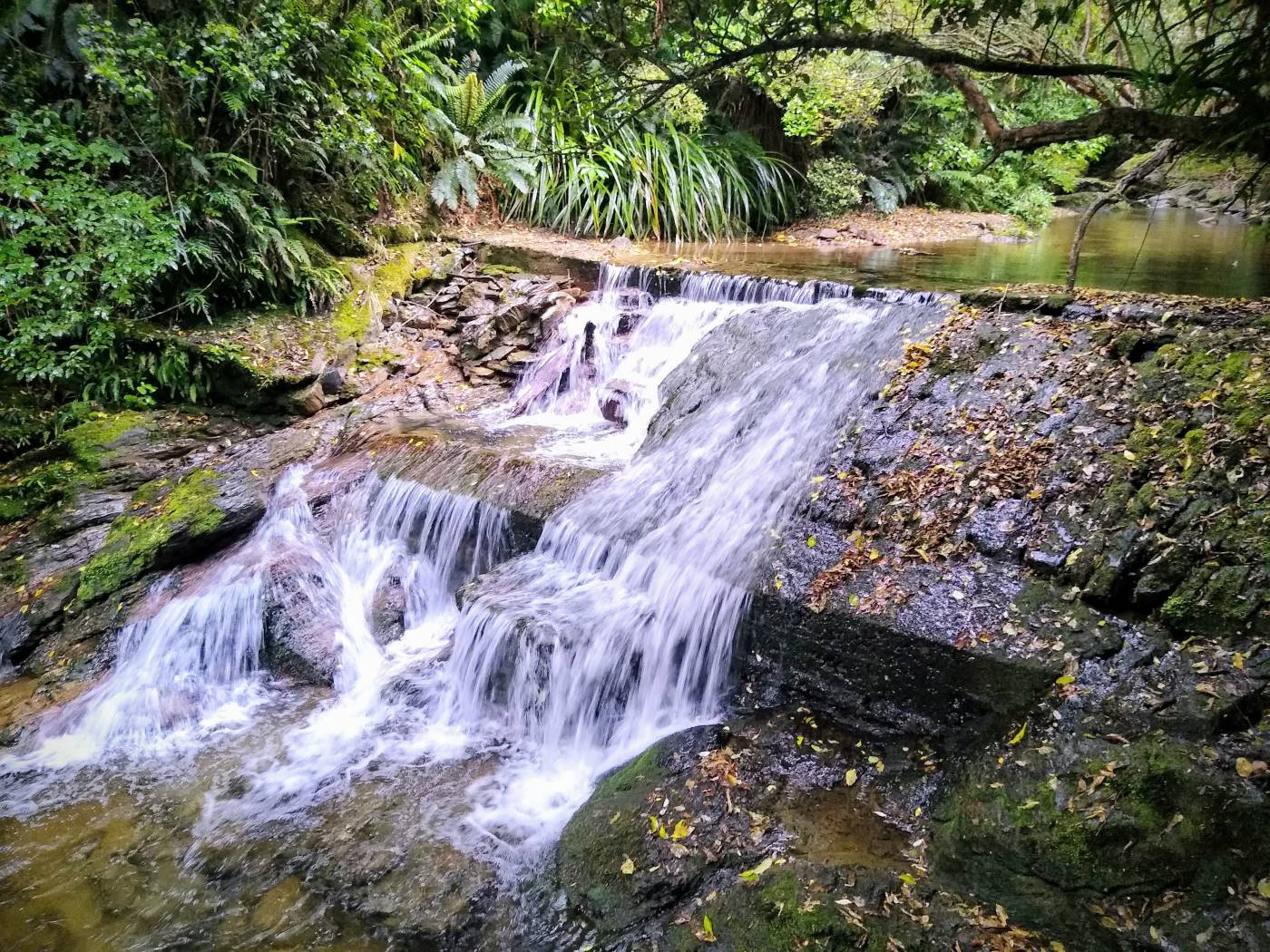
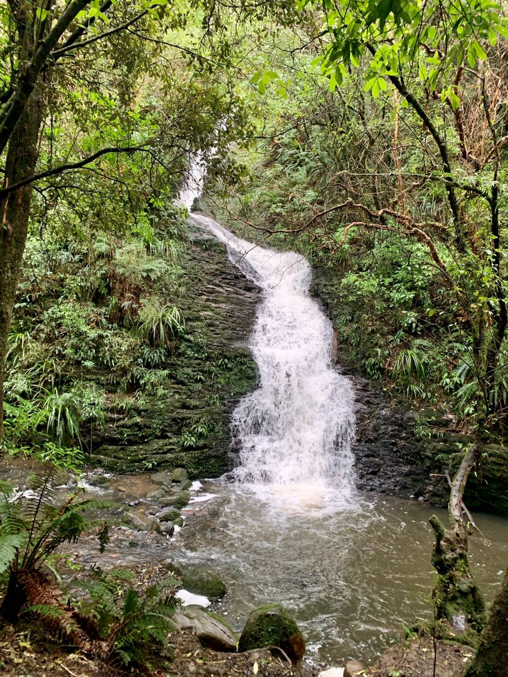
Cloudy but dry we returned to Burma Road down the hill and over the bridge we headed left down to School Creek track. Three quarters of the way down from the reservoir we took in a fantastic waterfall.

20 July Ross Creek trampers waterfall

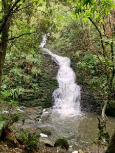
Waterfall after the rain (Photo & caption Marijke)

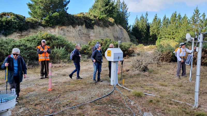
We then headed right up Zig Zag track to Cannington Road (some a little breathless). Across the road onto Golf Course then Podocarp tracks we walked back to the reservoir past our morning tea spot. We then headed out onto Rockside Road for orientation. We continued to Tanner Road then left across the road and up some paths taking us past some nice homes hidden from the road.

20 July Ross Creek trampers Dogwalker

Meeting up with a local dog walker (Photo & caption Marijke)

20 July Ross Creek misty hills

Mist on the hills (Photo & caption Helen)

We got to the entrance of the Pineapple track (now around an hour forty-five minutes into our tramp) so we had time to do the McGoun’s track – taking the left entrance up to McGoun’s Creek. A good workout, the track joined the Pineapple track and we turned back down the hill to our lunch spot at the water tower.


20 July Ross creek trampers lunch

Lunch spot (Photo & caption Helen)

With a light sprinkling of drizzle at the end of lunch we continued down the Pineapple track and then turned into the McGoun’s extension. Then a 20-minute tour of the Wakari bike tracks and then WALLA we came out at the cars. A good walk in a sheltered area as a replacement for the Pipeline, Burns, Rustlers tramp that was cancelled. Thanks Arthur and Helen for helping me do a recce of the cancelled tramp.

Writer Phil Morris

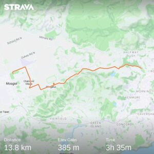
Stats say 9.95km 315 elevation 2hrs 30mins actual walking time

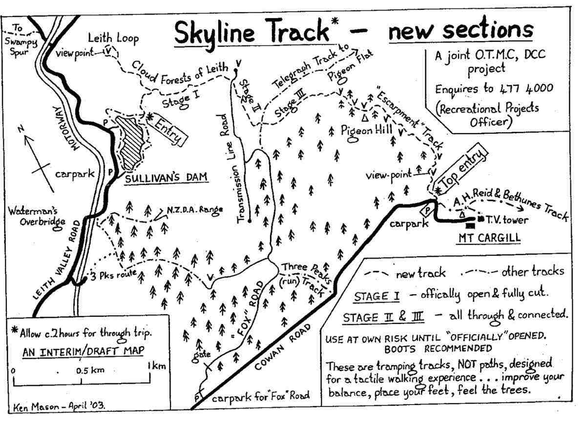
References for tracks:-
Dunedin walks Dept of Conservation, and Dunedin Amenities Society.


October 6: Ross Creek Tramp (replacing Glenfalloch & Beyond)

31. 06/10/2021. Ross Creek Leaders: Ross Davies, John Gardiner and Pam Cocks

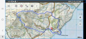
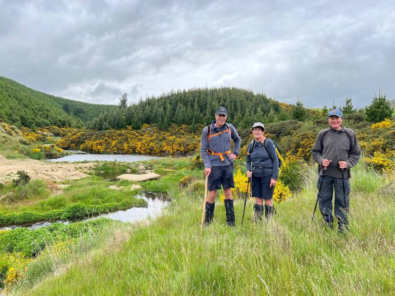
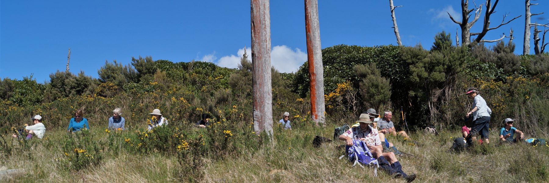
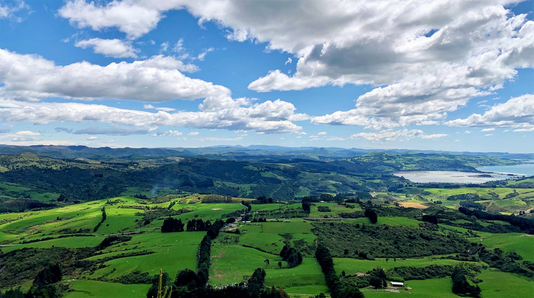
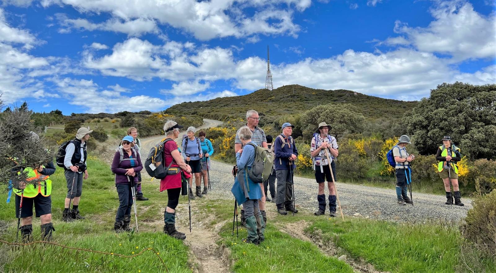
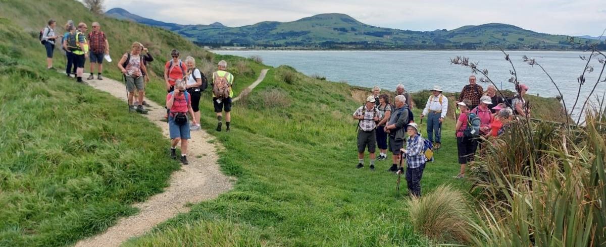
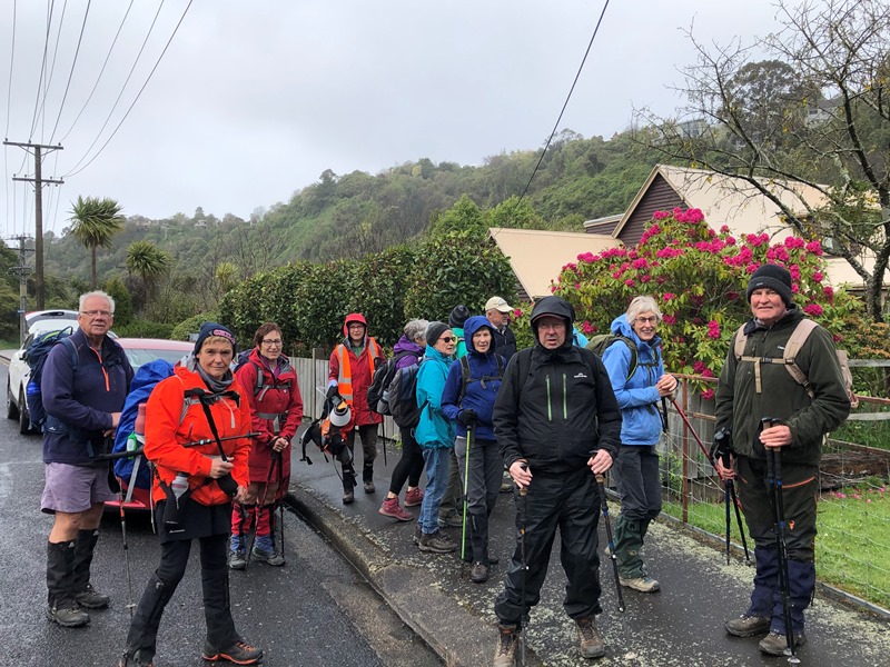
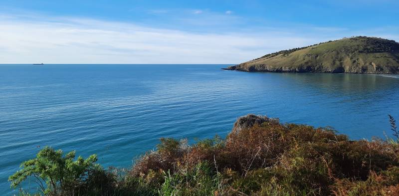
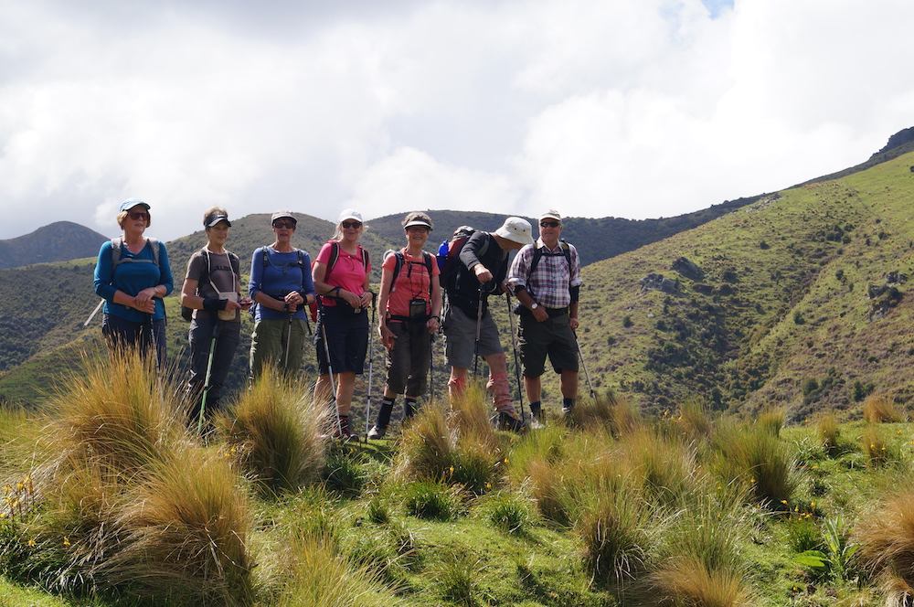
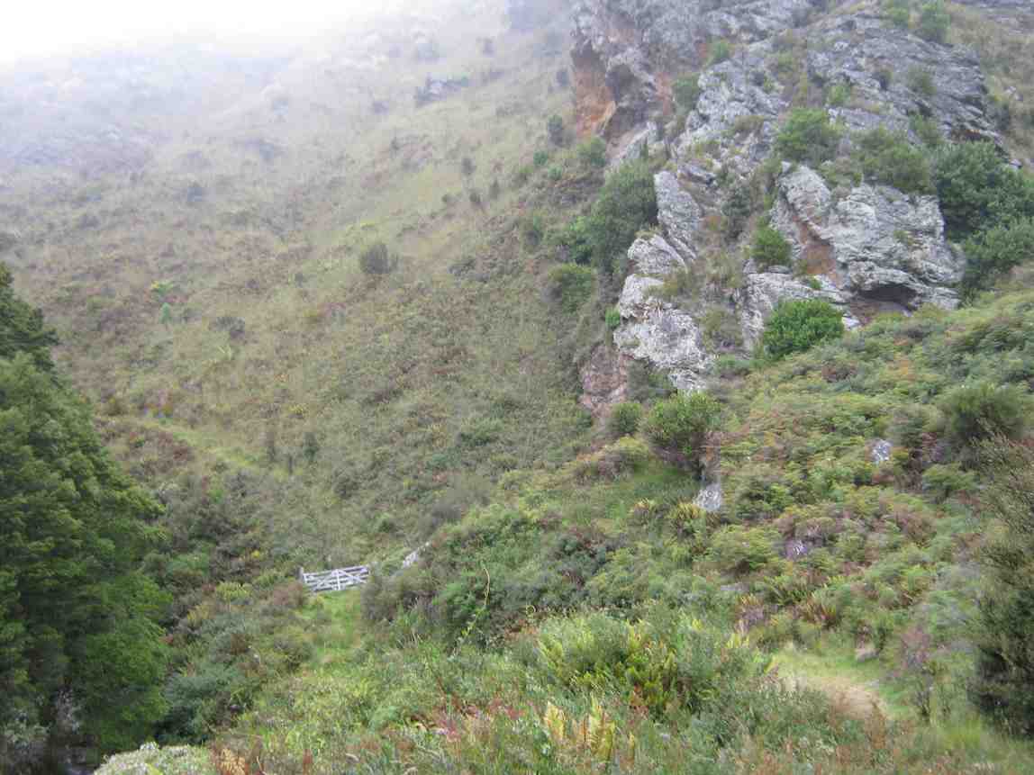
While Mosgiel was in sunshine, the Otago Peninsula was covered in mist with a strong north-easterly. 16 eager trampers sat in cars up in the thick mist on Highcliff Road debating their next move. The planned ‘Glenfalloch and Beyond ‘ tramp was quickly abandoned and a decision was made to go to Ross Creek. (A big thank you to Ross and John for taking charge and leading us!) By 10:15hrs we were parked up on Rockside Road and heading into Ross Creek where conditions were much more pleasant.

IMG_3439 Ready to go resize

All geared up for whatever comes our way. (Photo & caption Jenni)

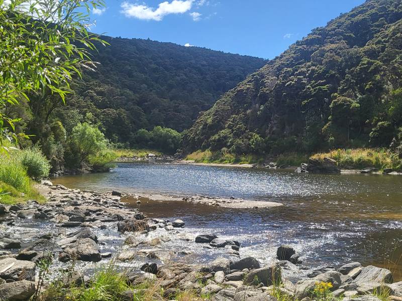
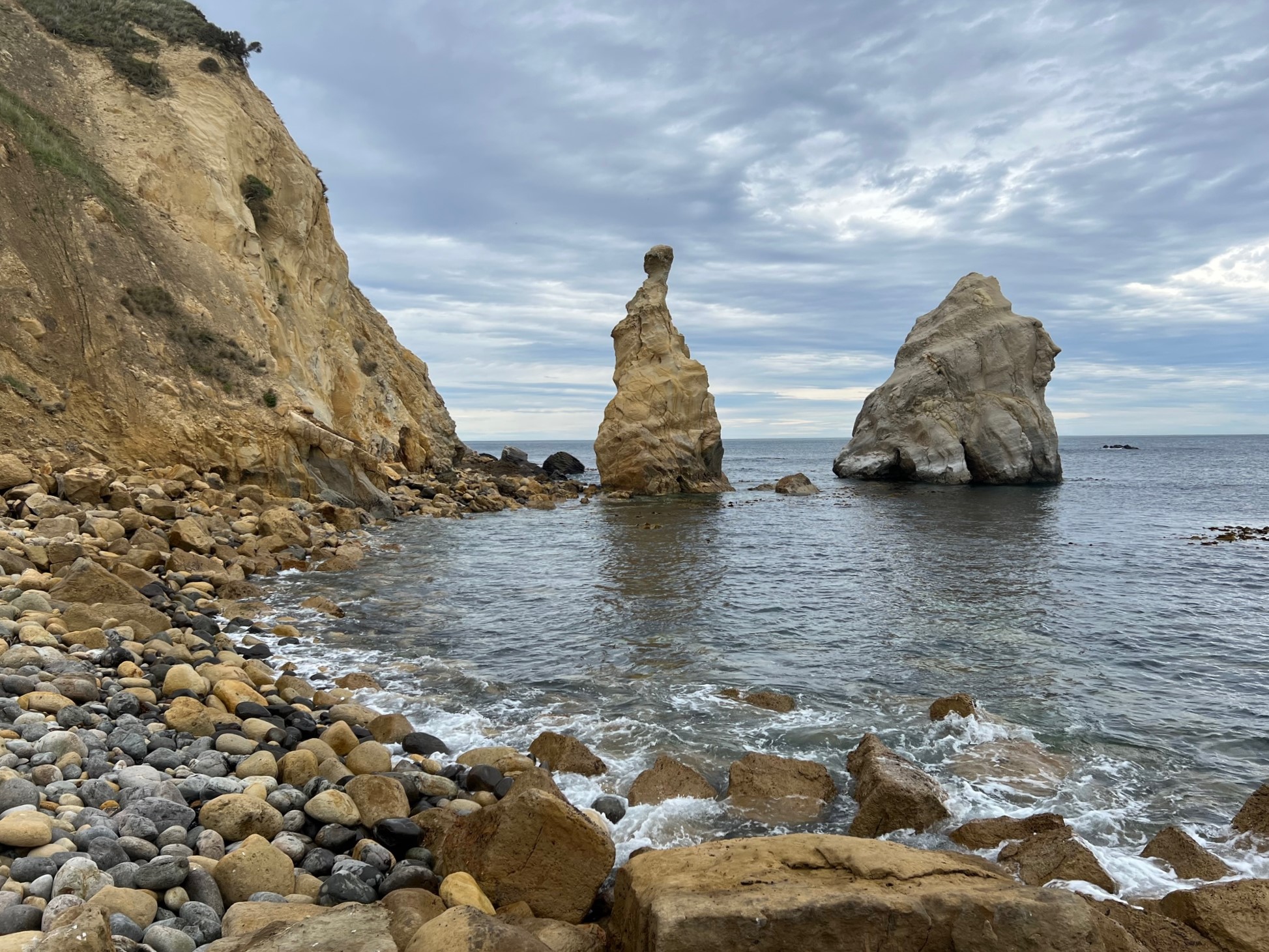
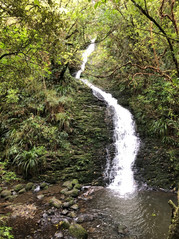
After about 15 mins walking up the main track, we crossed over Ross Creek onto a narrower track which took us to a waterfall, 20m in height (This must be one of Dunedin’s best kept secrets!). This waterfall was created when the ‘Waters of Ross Creek’ were diverted during construction of the Reservoir.

IMG_3443 waterfall resize

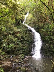
Stunning waterfall (photo & caption Jenni)

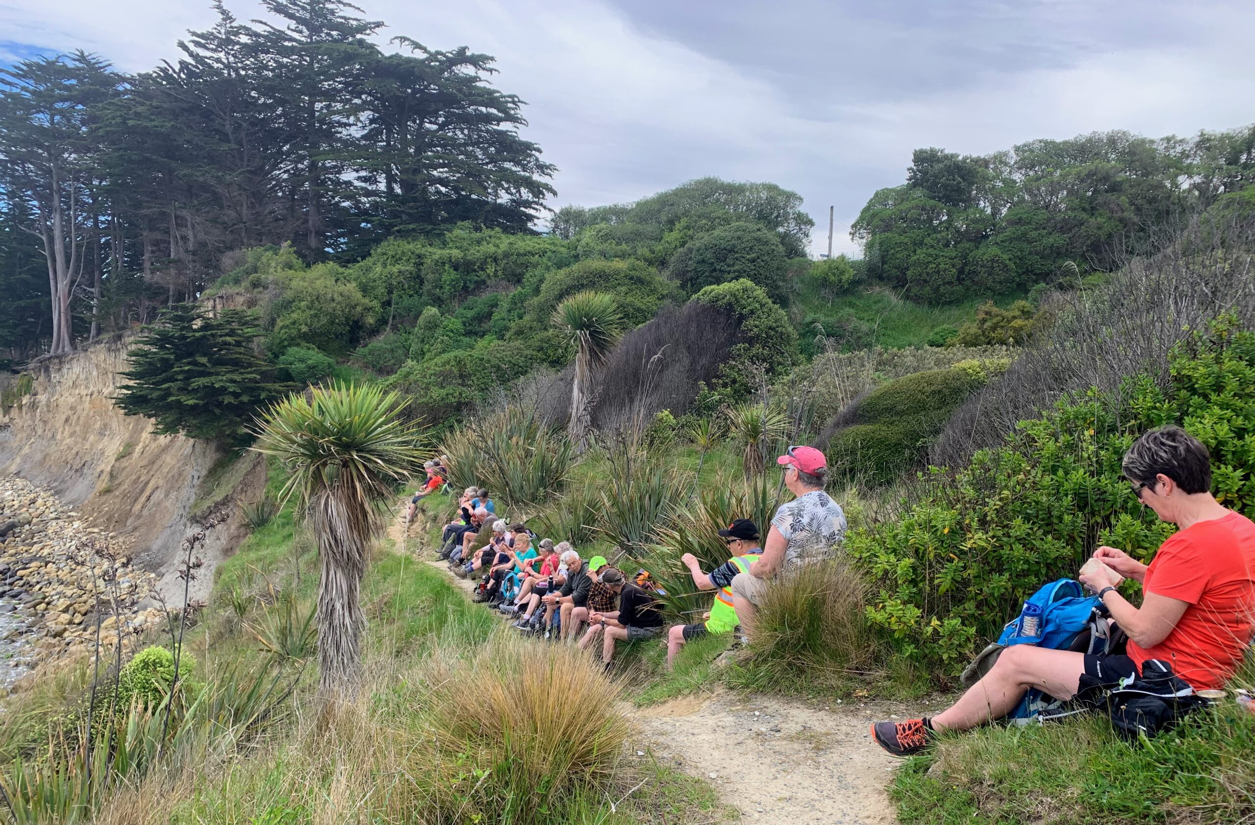
Further on we made a diversion into the Otago Golf Course to view a pully which is used to assist the golfers and their carts up this steep bank. Back down on the track we had a stand-up morning tea and some of Jenni’s yummy baking!

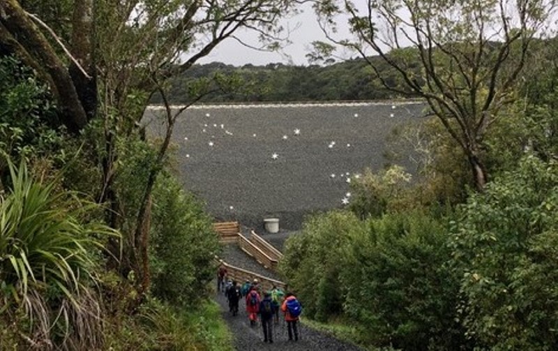
Carrying on through native bush for 30 minutes we came out into the open just below the dam to a view of the Star Constellations on the dam face. There are 77 steel coated stars across the dam face representing the Southern Constellations found in the sky above the city. They were installed in 2020 after the strengthening and when the dam face was rebuilt (2017 – 2019).

IMG_0047 Stars resized

Star constellations on dam face (photo & caption Pam)

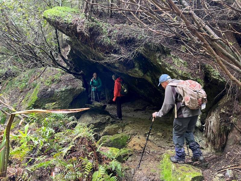
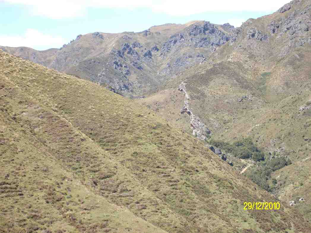
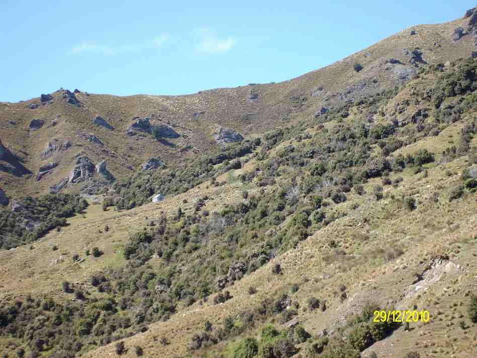
Onward and upward on a short steep shingle path to the dam’s top. We continued clockwise passing the smaller dam and into the bush again, passing by what they call ‘The Grotto” and onto Craigieburn track. This was a steep track up boxed steps through Rimu trees to arrive near the top at ‘The Little Ruin’, which is associated with the arrival of The Rankins in the late 1860’s. It was used as a farm shed for storage and was built relatively quickly by novices.
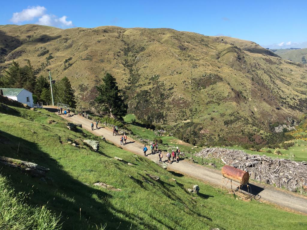
Carrying on we turned into “Tanners View’ overlooking the Northern end of the Leith Valley. A short walk took us to a stone fence, climbing over and into an open grassed area which was part of the Craigieburn Farm and was purchased by the DCC with the Amenities Society in 1949. The remains of the Byre complex were probably started in the late 1880’s consisting of a narrow milking shed and larger stables for horses.

We moved on quickly from here due to the drizzle and cold wind but not before John had a childhood flashback enjoying a swing from a rope hanging from the macrocarpa tree!

IMG_0065 John swing resize

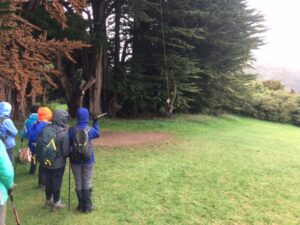
John enjoying a swing (Photo & caption Pam)

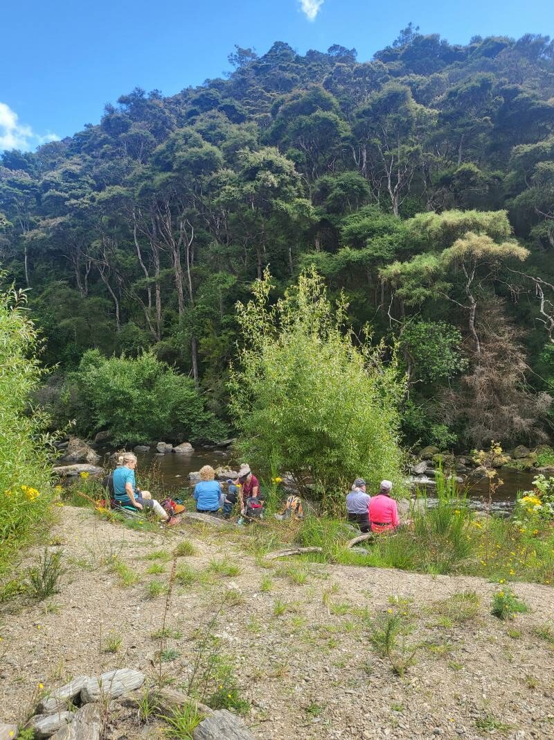
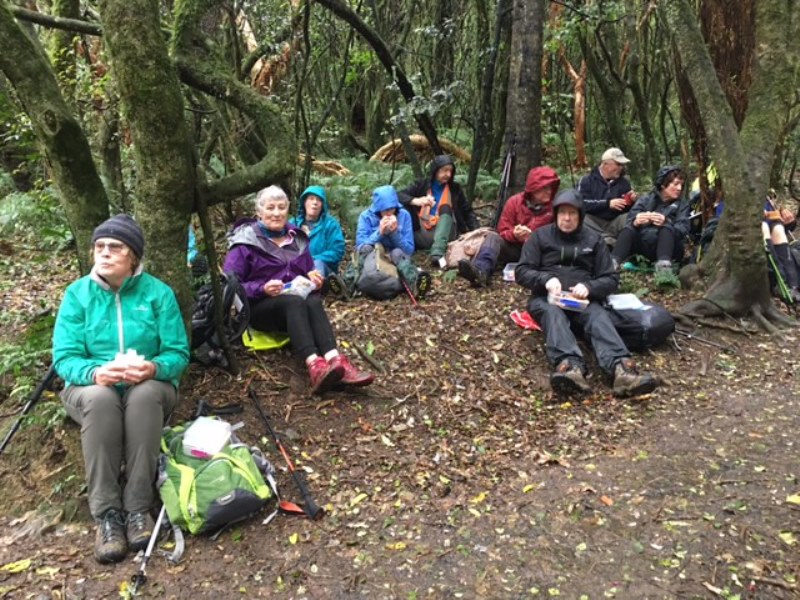
From here we walked down Tanner Road to the start of the Pineapple Track and after walking 30 mins up to the Water Treatment Plant and just through the style we stopped for a quick lunch under the dripping trees!

IMG_0068 Lunch resized

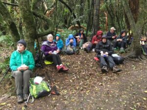
Lunch under the dripping trees (photo & caption Pam)

Onwards and upwards again to McGouns Creek Track through its pretty native bush, ferns and board walks with views of the Redwood Forest. This loop track brought us back to the start of the Pineapple Track. We then crossed back into Craigieburn Track, which took us above the Reservoir and then across the top of the dam and down to a big “star” for a group photo.

DSC05201 Star photo resize

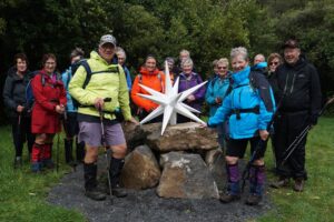
Trampers to the stars!!! (Photo & caption John)

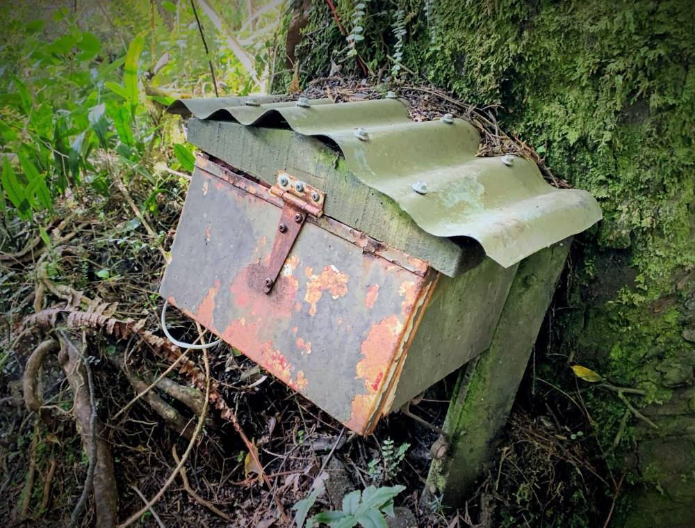
It was a gentle downhill walk back on the starting track. We took a right turn near the bottom of the track over the foot bridge passing an old concrete ammunition store and further on past the disused Woodhaugh Quarry.

We continued on crossing over another foot bridge which brought us out to the Motor Association camp and back up to our cars at 2.15pm, after an enjoyable tramp of 11kms of historic and more recent interest.

Coffee, cake and continuous chatter was then enjoyed at Nichols Cafe 😀


30. 19/2/2020. Hikers. Ross Creek. Leaders Barbara and Noi

19Feb20 Photograph at your peril!res

Photo and Caption Noi – “Photograph at your peril”


19Feb20 Ross Creek bridgeres

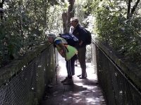
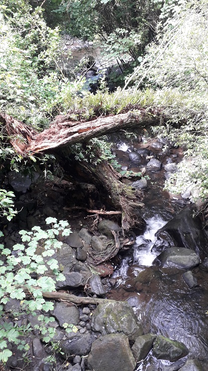
Photo and Caption Barbara – “Ross Creek Bridge”


19Feb20 Negotiating Ross creek tracksres

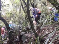
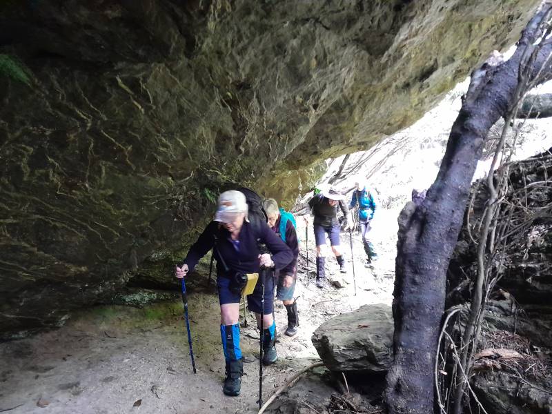
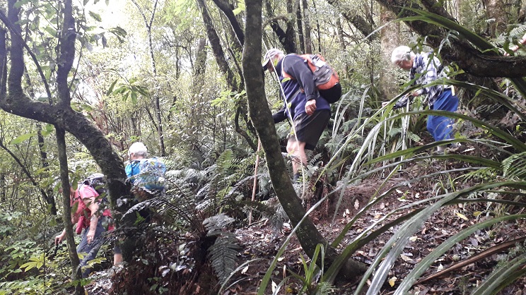
Photo and Caption Noi – ” Negotiating Ross Creek tracks.”

19Feb20 Morning tea Cosy Dell Tennis Clubres

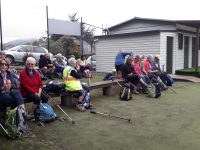
Photo and Caption Noi – “Morning tea – Cosy Dell”

19Feb20 Ross Creek - pretty as a pictureres

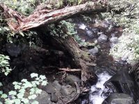
Photo and Caption Noi – “Ross Creek pretty as a picture.”

19Feb20 Town Beltres

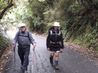
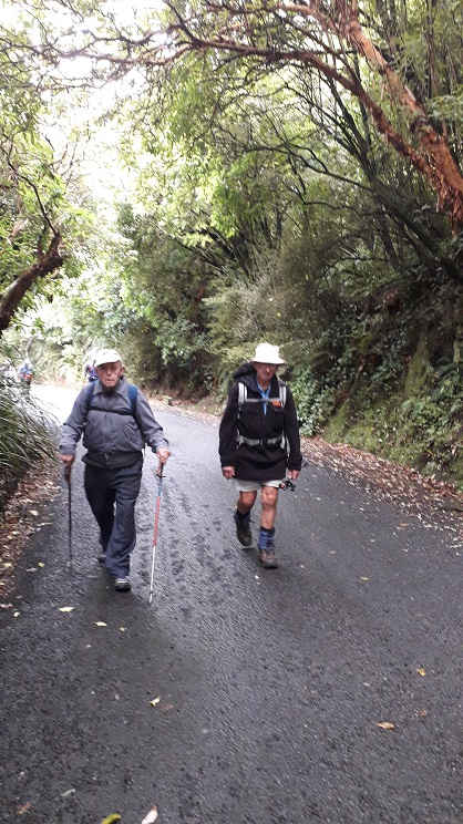
Photo and Caption Noi – “Town Belt”


image1 (1)

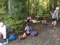
Photo and Caption Barbara – “Relaxing lunch in the bush.”

image5 (1)

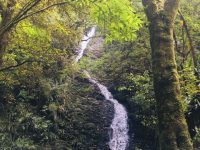
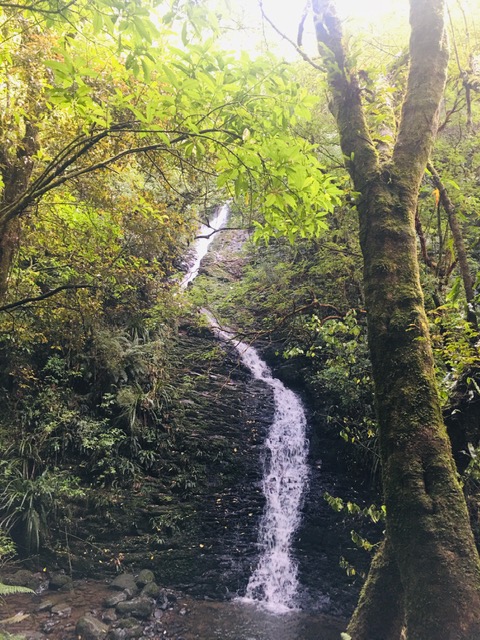
Photo and Caption Barbara – “Who knew Dunedin had a waterfall”

image10

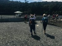
Photo and Caption Barbara – “Ross Creek enjoyed”


29. 22/1/2020. Hikers. Ross Creek. Leader Clive

20200122_093654res

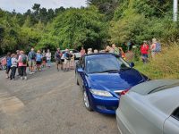
Photo and Caption Clive – “Start at entrance to Pineapple track”


20200122_095327res

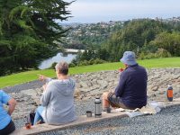
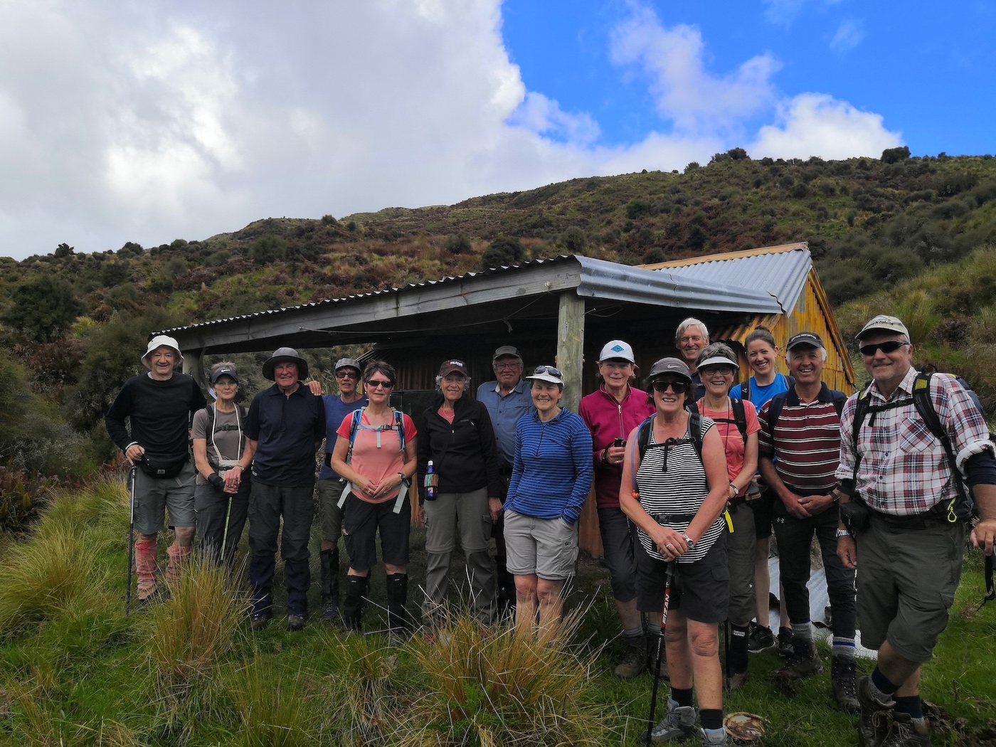
Photo and Caption Clive – “Morning tea at the Byre”


20200122_111303res

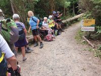
Photo and Caption Clive – “The Redwood Loop”


20200122_112252res

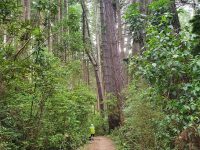
Photo and Caption Clive – “Some tall trees in the redwood forest”

Continue Reading »

No responses yet

Aug 28 2022

Street Walk: St Clair – Kew

Published by under Hikers,Year round

2. 24/08/2022. Hikers. St Clair/Kew Street Walk. Grade 2.5. $5. Leaders: Shona & Maria

24 hikers met at the Forbury Trotting Club where Maria distributed a handout giving information on points of local interest (thanks Maria).

We walked together to Second Beach (a hidden Dunedin gem), for morning tea and took time to look at some stone installations there.

Shona. Morning tea

Morning Tea (photo & caption Shona)

We proceeded to Jacob’s Ladder where most climbed the 287 steps to Seaview Terrace and the remainder studied some of the more impressive homes on the flat.

Tamarillo

This was found whilst climbing up Jacobs ladder a fruiting Tamarillo bush . A little micro climate (photo & caption Jill).

Both groups re-joined at the bottom of Allandale Rd before dividing up again, one group taking themselves up the walkway beside Frances Hodgkins Retirement village to Easther Cres and meeting the rest for lunch at the recreational area between St Andrews home and Sarah Cohen school. We walked back to Forbury via Surrey St.

Coffee at The Good Oil at Nichols.
Distance approx. 8.4kms


Continue Reading »

No responses yet

Dec 19 2021

Hindon, Machine Creek Penno farm

3. 15/12/2021. Hindon. Blacksmiths Gully. Leaders Jill Reid, Sarah McCormack, Linda Partridge, Jan Butcher.

A reasonable day dawned for our combined Christmas visit to Hindon, and about 40 people headed up George King Memorial Drive to the hall.  We deposited our “plates”, wrapped up warmly, and drove to Don Graham’s gravesite on Ardachy Station.

15 Dec 1200 Ross Hindon-getting ready

Getting sorted (caption and photo Ross)

Don loved this challenging country & he overlooks the hills and Taieri River.

15 Dec John tribute stone resize

Lovely spot for a tribute stone (caption and photo John)

The hikers walked a gentle track & enjoyed the spectacular scenery.

15 Dec Phil hikers group resize

Nice view of the hill (caption and photo Helen)

15 Dec Phil nice view from the hill resize

The group of 19 hikers (caption and photo Helen)

The trampers headed down the hill to Blacksmiths Gully, then looped back up to the cars – about 6 km.

15 Dec John going down the ridge line resize

First impression of the vastness of the countryside (caption and photo John)

15 Dec John landscape view resize

Panaroma – open country dwarfs everyone (caption and photo John)

15 Dec John Phil and Peter in their happy place resize

Phil and Peter in their happy place (caption and photo John)

15 Dec John are we going the right way Jill resize

Are we going the right way Jill? (caption and photo John)

15 Dec Pam trampers in the foxgloves resize

Trampers among the Foxgloves (caption and photo Pam)

Kevin Burke said Ian Fleming’s grace and we then enjoyed the generous pot luck lunch.

Chris Wither told us some Hindon Hall history & her various associations with it during her 38 years living at Hindon.  She mentioned how mice often visited during yoga classes……and yes, one brave mouse came under the door soon after!

15 Dec 1200 Ross Hindon-eating lunch

Lunch in the Hindon Hall (caption and photo Ross)

We greatly enjoyed Grant Shackell playing his guitar and singing along with his “blind date” Claire Currie.

15 Dec 1200 Ross Hindon - Claire and Grant

The entertainers – Grant and Claire

15 Dec Pam sing along Hindon Hall resize

Entertainment from Grant and Claire. Interesting woolsacks on the wall from past and present farms in the district (caption and photo Pam)

Thank you both for the wonderful entertainment, and to Jill Dodds and her helpers for organising the food etc.  A very pleasant way to wrap up our tramping year!

Jill Reid

15 Dec screen shot of tramp route

Tramper’s route


2/4/2014 Both. Hindon. Machine Creek. Recently Bathgate, now Cowley Farm. Easy+ Leaders: Ian, Ken

Continue Reading »

One response so far

Nov 23 2021

Tramps Incorporating Three Kings

Published by under Hikers,Trampers,Year round

No. 26 on old hardcopy list of 113 club tramps. “Wesleydale – Maungatua – via 3 Kings. L Wiffen. Year round.”

Abt 25 km from car park.


26. 10/11/2021. Three Kings – Heenan Road. M. Leaders: Cathy Ferguson and Sue Nichol

18 Hikers set off from double gates where we parked our cars about 9.15 on a very warm humid day.

on the road

Photo Cathy Ferguson

On a well formed farm track it is a steady climb through bush and morning tea was a stop, with views over the Taieri Plain.

iGroup on roadside

Photo Cathy Ferguson

Hikers views

Photo Cathy Ferguson

As we climbed higher there was several stops to enjoy the views of Lake Waipori, Lake Waihola and the wider Taieri.

Waipori etc

Photo Cathy Ferguson

At the cattle yards where there was a small calf and 3 large cattle we turned right and walked up a rougher steep track until we reached the 3 Kings. Lunch stop was had at this point for a relax and a little banter.

Hikers group in rocks

Photo Cathy Ferguson

Hikers 1

Photo Cathy Ferguson

view of rocks

Photo Cathy Ferguson

We then headed back down the track to the vehicles. Amazing how going down always goes so much quicker.
A hot but warm day was finished with a drink at the Wobbly Goat.

Continue Reading »

No responses yet

Jul 16 2021

Purakaunui

Published by under Beach,Trampers,Year round

No. 97 on old hardcopy list of 113 club tramps. “Purekanui & Canoe Beach Year Round”

39 km
At LOW TIDE it is possible to walk along the shore to Doctor’s Point.
Also pleasant stroll 1 km down southeastern end to mouth of inlet with scattered cribs.


16. 14 July 2021. Hikers. Purakaunui/Canoe Beach. Medium. Leaders: Betty & Jim

After regrouping at Waitati 4 Vehicles travelled with 16 hikers to park at the end of the Doctors Point Road.  The tide afforded us plenty of clear beach for the Canoe Beach walk to Mapoutahi for our tea stop.  Of significance were two new barriers recently erected by DOC, warning of the dangerous cliffs.

Looking across Canoe Beach

Looking across Canoe Beach (photo & caption Ady)

Looking towards Headland of Purakaunui Beach

Looking towards headland of Purakaunui Beach (photo & caption Ady)

From our morning tea stop the southern portal to the rail tunnel could be seen, high on the cliff showing the extreme difficulty that this section that must have been experienced in the construction of this main trunk line.

Weather conditions were pleasant for the Purakaunui Beach walk on firm sand to the Purakaunui inlet.

Purakaunui Inlet

Purakaunui Inlet (photo Alex)

Entering the inlet, we were faced with soft sand conditions for a short distance to the pine plantation, then it was less than 400 meters through pines to the cemetery.  We retraced our steps in comfortable time for the tide past Canoe Beach to the cars.

The coffee stop was at Blueskin before our return to Mosgiel.


Continue Reading »

No responses yet

May 12 2021

Kuri Bush Forestry, Daphne/Margaret Road, Kathleen Road, Big Stone

Wenita permit.
No. 75 on old hardcopy list of 113 club tramps. “Kathleen Rd – Big Stone Return Forestry Farm”
Distance from car park: 21 km.

19. 12/5/2021 Kuri Bush. Leaders Liz and Alex

Meeting at a suitable parking spot on the Taieri Mouth road at the start of Mount Allan forestry hike 12 brave members set off for a pleasant walk in bright sunshine. As Pine trees had been removed it gave a different feeling from our previous hikes. Great views and an understanding of how rough the hills really are for planting. First stop after a good climb was morning tea break.

20210512_101956

“.Morning tea in the sun.” – Photo and Caption Clive

Everybody relaxed. Onward up and down until we reached Big Stone Road .

20180516_112413res

Before- Aug. 2019 photo.” – Photo and Caption Clive


20210512_104708 (1)res

“After – now – trees felled.” – Photo and Caption Clive

Lunch time.

20210512_122255res

“Lunch at Big stone/Daphne Road.” – Photo and Caption Clive

Down the road until we met the next track and into the forest again. From here it is mostly down hill with more great views until we arrive back at car park.

20210512_132646res

“A weather station on the way down.” – Photo and Caption Clive

Coffee at Brighton Beach  shop with relaxed chatter including meeting Dot and Chris who had just completed there own walk. 12 kilometers in total .New member was welcomed and had a good day. Good company and enjoyable.

Liz and Alex.


Continue Reading »

No responses yet

Nov 25 2020

Silverpeaks Station to Jubilee, Orange & Mount John Huts

Published by under Trampers,Year round

No. 53 on old hardcopy list of 113 club tramps. “Jubilee Hut”

Silver Peaks Station. Distance from carpark: 43 km.

DoC Jubilee Hut information
DoC: Silver Peaks Routes: Possum Hut Route – Silver Peaks Route to Jubilee Hut – Silver Peaks Route beyond Jubilee Hut

25/3/2020. Trampers. Jubilee Hut from Silver Peaks Station.
A large group left carpark at 8:30 am to drive an hour up George King Memorial Drive, onto Hindon Road—-drove through early fog, and down past Ardachy (where we were spotted half a dozen peacocks), over the Taieri river rail/road bridge, then up past Lamb Hill on Silverpeak road to end of road at Silverpeak Station.  Mike and Ginny Cowie own the large 2,500 hectare Station, home to 7,000 stock units (sheep and Beef cattle).
23 eager trampers(including Gordon’s daughter) headed off on a very calm, sunny morning at 9:30am
Pam.The start of a big day!IMG-20201126-WA0000

The start of a big day!I (Pam pic and caption.)

and stopped for smoko at 10:10am.
Jn.1.Morning Tea stop (Always with a view.)DSC04419

Morning Tea stop (Always with a view.)9John caption and pic)

Jn.2a.Gordon and daughter Kim ,enjoying the sunshine.DSC04422

Gordon and daughter Kim ,enjoying the sunshine. (John pic and caption.)

We followed the rough vehicle track up the left fork of Christmas creek continuing up the north side of the Valley.

Jn.3.Those views again.DSC04425

Those views again. (John pic and caption.)

Jn.4.Happy Tramper lineup.DSC04426

Happy Tramper lineup. (John pic and caption.)

This is steep tussock country which has been oversown and grazed to create productive pasture.  Mount John hut(an unused Musters hut owned by Silverpeak station) sits on the right hand side of the track).
The undulating walk continued until 11:50am to the junction of Cave creek, at this point the majority walked on another ten minutes to have a look at  Homestead (or Christmas creek hut), also owned by Silverpeak station.

Jn.7.The strange patina on Orange Hut.DSC04431

The strange patina on Orange Hut. (John pic and caption.)

Sarah.The Team' at Orange hut..IMG_20201125_114822

The Team’ at Sarah.The Team’ at Orange hut. (Sarah pic and caption.)

Meanwhile, the smaller group headed off towards the 1.5km walk up along Cave creek to Jubilee hut, waiting half way to regroup.  Arthur had carried Loppers expecting to have to use them, however, Green Hut volunteers had the track clear.  The original Jubilee hut was opened in 1951 on the left hand side of the creek, it was built in a cold spot. Signpost indicating Jubilee hut 100 metres on——that person had a long stride—— a very long 100 metres!
We had  to cross Cave creek a couple of times—cooling on the feet.

G.5.Nearing Jubilee hut.20201125_122118

Nearing Jubilee hut. (Gordon pic and caption.)

We arrived at Jubilee hut at 12:50pm.  This 10 bed hut was built in 2007, some 300 meters up in a sunny spot with great views,

Jn.5.Panoramic view to admire.DSC04428

Panoramic view to admire. (John pic and caption.)

at about 600 metres.  Staff and materials were flown in by helicopter (over 30 trips).  Cost $70,000+.  It is well used and just recently a booking system has been introduced.
All enjoyed a leisurely lunch in the sun and hut

Jn.8.Lunch at Jubilee Hut.DSC04433

Lunch at Jubilee Hut. (John pic and caption

Jn.9.Sorry Heather ,I can’t find the delete button!DSC04440

Sorry Heather ,I can’t find the delete button! (John. pic and caption.)

before heading back along the undulating track,

G.7.Heading to the finish.20201125_141159

Heading to the finish. (Gordon pic and caption.)

having rest/water stops along the way.  The A team arrived back at 3:35pm, followed by B team at 4:00pm.  Followed by an hour’s drive home.
This tramp was a new one for 18 members (1 driver wondered where he was going to end up).  It was 2015 when 7 from the club were last there.  So——-the 2 Leaders made mental note to self———Been there—Done that!!
Was a great way to spend the day In those very vast  hills of Silverpeak Station, good company, good weather—-good life. – Eleanore and Arthur.

11/3/2015. Trampers. Jubilee Hut from Silver Peaks Station.
After a doubtful start to the day with quite heavy rain during the night, [I was worried about high creek levels] 7 hardy trampers turned up for the trip to Jubilee Hut via Silverpeaks Station. We arrived there just before morning tea time so set off along the track to find a spot to stop for morning tea. Then it was on to visit Orange Hut [Homestead Hut, Christmas Creek Hut, whatever you want to call it] having missed the turn off to go down to Cave creek, which has lost it’s large white plastic container that acted as a marker for the start of the track. We then backtracked a bit to the track leading down to Cave Creek valley, & made our way over a few more creek crossings & up to Jubilee Hut for lunch.
Two of the party had their lunch on the track about 10 mins from the hut, & one of them decided to walk back out again on their own, thinking we would catch up with them later. After lunch, we went down to the creek from the hut, & Ian [being the fittest] was voted by me, to go & photograph the sign at the old Jubilee Hut site,…
Sign at site of old Jubilee Hut (Ian pic, Ken caption)

Sign at site of old Jubilee Hut (Ian pic, Ken caption)

…so we would know what it said. Then it was back along the track retracing our morning steps. When we got to the top track again, I decided that I needed to attend to a sore patch developing on my left foot, so Ian & I stopped while I attended to that. Just as I was finishing, we heard somebody calling out from nearby, & the next thing the person who had set off on their own appeared looking rather worried [lost !!] they had not noticed the sharp LH turn onto the track leading back to Silverpeaks Station homestead, & had instead gone straight ahead along the track towards Orange Hut. We pointed them in the correct direction, & they set off  with what I would imagine was some relief. Shortly after this we all met up again into one group, & set off to our next adventure !
One party member while crossing the Christmas Creek where it doubles back on itself, slipped on a rock, & very slowly, & not so gracefully, first put a hand down to steady themselves, but that didn’t work, so they ended up sitting in the creek. [Oh I wish I had my camera handy !!]  So this guaranteed a wet walk back to the cars for this person, but they did dry out rather quickly I think.
The rest of the walk out was very uneventful, compared to earlier happenings, & we all arrived back at the cars safe & well. We arrived back at Mosgiel about 5pm from memory.
Something we learnt today was :
1: We MUST stay together better as a group, or one day somebody will get properly lost.
2: Walking poles are handy for crossing creeks, even if you don’t think you need them!!
We walked 16km
3.8km/hr ave.
Climbed 876mtrs.
Max elev. 426mtrs.
– Ken.
12/2/2014. Trampers. Three Huts.
Distance to Jubilee Hut without going to Christmas Creek Hut =15.75km
Add on another 1 1/2 – 2 km for the extra distance to Christmas Creek Hut.
Walking time = 4hrs 25min; Moving Ave = 3.6km/hr; Total ascent = 919 mtrs.
7 hardy souls turned up at 8:30 on a wet misty day at the Mosgiel car-park to go to Silverpeaks Station for our tramp to Mt. John Hut/Christmas Creek Hut/Jubilee Hut.
It was good to see that the ones going on the Motatapu trip were carrying their large tramping packs filled with a bit more weight than they would normally carry.
It took an hour to drive to the starting point, & as it was not looking brilliant weather wise, we decided against going up to Mt. John Hut, & proceeded along the track a bit further for morning tea break. The double crossing of Christmas creek was done without mishap, & we continued on to the turn-off to Cave creek valley.
Most of us dropped our packs here & carried on to Christmas Creek Hut, [which is also know as Homestead Hut, & Orange Hut.] …
Orange Hut

Some of the party at Orange Hut, also known as Homestead Hut, and Christmas Creek Hut. (Ken pic and caption)

… before returning & heading down to Cave Creek & the walk up the valley to Jubilee Hut.
The track above the boundary gate is getting badly overgrown with bracken fern, but it is still relatively easy going, but we got rather wet from the knees down as the scrub was holding water from the rain showers.
Up to this point we had only worn our rain jackets for a short time, during a light shower, but as we approached Jubilee Hut the rain drops started appearing again, so we managed to get to the hut before the weather let loose with a heavy shower which continued right through our lunch break, & beyond.
George

George writing in the Jubilee Hut visitors book. Note the inclement weather through the window. (Ken pic and caption)

After finishing lunch, we were all sitting around wondering how much longer the heavy rain was going to last, when it started to ease, & the visibility improved enough so we could look back down valley & see Christmas Creek Hut, so we decided to put on wet weather gear again, & start heading back to the cars.
By the time we got to the end of the Cave Creek valley, the rain had ceased, so it was off with the wet weather gear again. The only problems with the Cave Creek crossings  were some wet feet, & Ken landing on his butt after stepping on a slippery rock. Just as well he had on his waterproof leggings, or he would’ve got a wet butt, as well as one boot full of water.
We made it back to the cars before the approaching rain, which we had seen coming some time before, & had a wet ride all the way back home.
There were some very tired trampers at the end of the day, they were not used to carrying the bigger packs with more weight in them, however, it was a good opportunity to ‘shake-down’ the equipment. – Ken
15/5/2013. Trampers. Mount John Hut and Beyond.
Route We walked 13.5km 4km/hr ave 3h 22m moving climbed 814m !!! max elev. 652m

Route of tramp, courtesy Ken. We walked 13.5km, 4km/hr ave. 3h 22m moving. Climbed 814m !!! Max elev. 652m

The day started at 8:30 from Mosgiel carpark, with a very misty/foggy outlook on the Taieri, but we were hopeful that it would be clearer inland. When we were about 3/4 of the way to Hindon, the fog/mist just disappeared, & we were looking at quite a nice day.

We arrived at Silverpeaks station at 9:30. & set off towards Mt. John Hut where we had morning tea, & examined the log entries carved into the woodwork of the hut. [There is no log book in the hut.]

Morning tea at Mt John Hut.

Morning tea at Mt John Hut. (Ken pic and caption)

Looking back down at Mt John Hut and Christmas Creek

Looking back down at Mt John Hut and Christmas Creek (Ken pic and caption)

After leaving the hut we made our way up the track towards the top of Mt. John, but we took a wrong turn, which led us off to the NE side of Mt. John. However as it was already 12:30 when we reached the top, we decided to have lunch in the sun, & admire the views in all directions.

Wenita wasteland from our lunch stop. (Ken pic and caption)

Wenita wasteland from our lunch stop. (Ken pic and caption)

We then retraced our steps back to the car, & arrived back in Mosgiel at 4:00pm.

Climbing Mt. John was a bit of a grunt at times, & only suitable for the fitter members. If we had gone to our original destination of Popular Hut, that would’ve been another 3hrs or more walking. [Estimate], & it’s a long climb back up again!!! – Ken

5/1/2011. Trampers. Orange and Jubilee Huts from Silver Peaks Station.
16 -17km, including side trip to Christmas Creek Hut. Numerous creek crossings. If the creeks are high, you will get wet feet.
A reasonably hard 8-9 hr. day if you include travelling and break stops. Fortunately, 4WD road along Christmas Creek true right largely follows contour line with relatively short ups and downs.
 

GPS of routes Homestead/Christmas Creek/Orange Hut (left fork) and Jubilee Hut. (Courtesy Ken)

Double ford on Christmas Creek. 2nd out of sight. Dry detour to left if water high. (Ken pic)

Track beside Cave Creek.

Track washout. Cave Creek. (Ken pic)

Gate on track up Cave Creek. Heavy bracken overgrowth in places.

Sign indicating ABC Cave to right, Mountain Rd car park to left, and 100m (seemed much longer!) up to Jubilee Hut,

Jubilee Hut. (Ken pic)

Bunks inside Jubilee Hut. (Ken pic)

Plaque

Steep Climb out of Cave Creek crossing. (Ken pic)

Crossing Christmas Creek on emerging from Cave Creek gully (Ken pic)

29/12/2010. Orange/Homestead/Christmas Creek Hut  from Silver Peaks Station. -‘ recce’.

Morning Tea stop on ‘recce’. (Ken pic)

Jubilee Hut from Homestead Hut. (Ken pic)

Mount John Private Hut, Silver Peaks Station. (Ken pic)

Homestead/Christmas Creek/Orange Hut. (Ken pic)

Plastic jerry can marker at top of track forking right to Jubilee Hut. (Ken pic)

Track to Jubilee Hut. Devil’s Staircase in background upper left. (Ken pic)

24/3/1999. Jubilee Hut and return. Leaders: Les & Margaret, Bev H

One response so far

« Prev - Next »