Jan 21 2024
Warrington
Distance from carpark: 40 km.
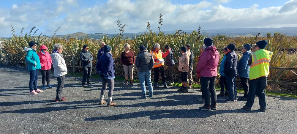
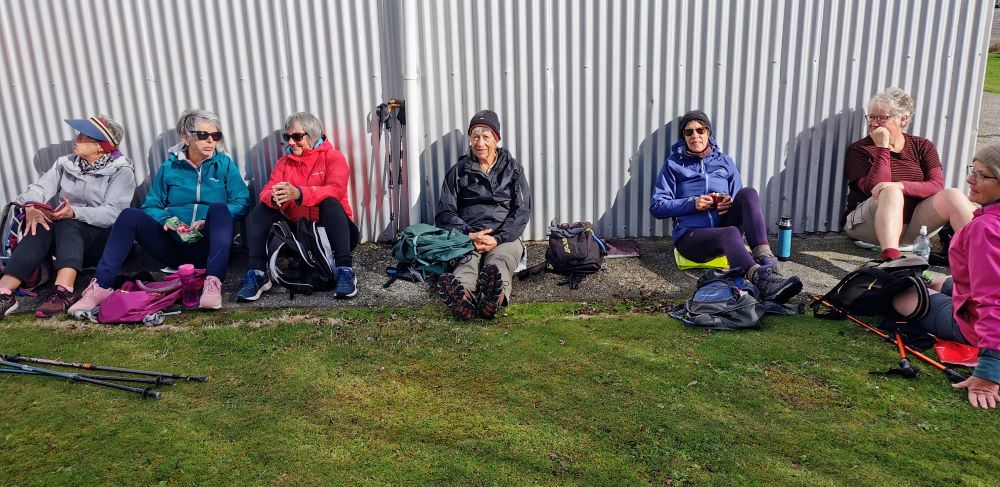
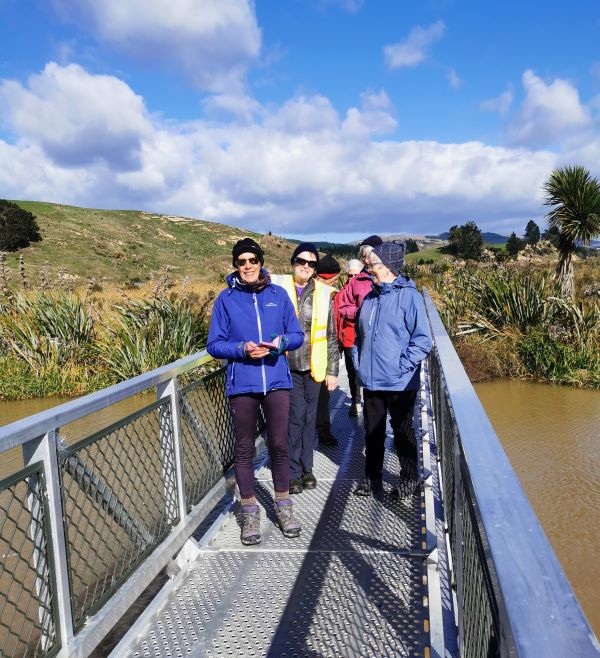
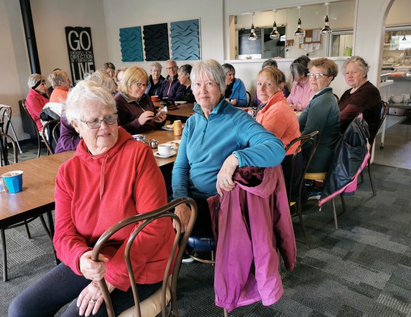
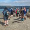 11. 17/01/2024. Hikers. Warrington. Leaders Jenny Finnerty and Jay Devlin
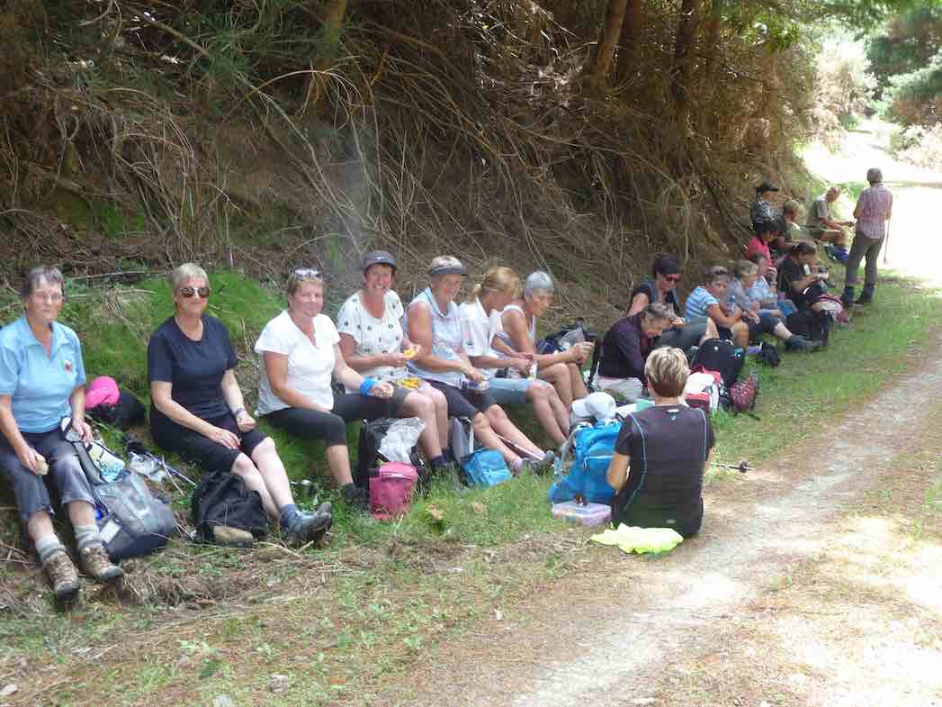
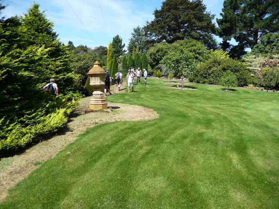
15 hikers met at the Warrington Domain.
Jan 21 2024
11. 17/01/2024. Hikers. Warrington. Leaders Jenny Finnerty and Jay Devlin
Dec 09 2023
Information
Rock and Pillar via Six Mile Creek This climbs 1,005 m. (3300 feet) up the eastern face from Glencreag Station up a leading ridge south of Six Mile Creek. This is the most direct approach.
Rock and Pillar via spur south of Lug Creek. Information: Climbs 910 m. (3000 feet) up the eastern face of a well-graded vehicle track up a leading spur south of Lug Creek. Average time to Leaning Lodge is 3 hours on foot.
DoC access. 9.5km north of the Middlemarch store on SH87, just before Lug Creek, is a farm entrance (RAPID 7219 – no DoC sign). A short way up the driveway is a DoC car park. There is public access up the vehicle track to the conservation area boundary. The track is now a recreation reserve administered by DoC.
Easiest route to Big Hut from Leaning Lodge (foot only – unmarked – good visibility essential) is another 45+ minutes climbing gently southwards to cross a steep gully and then climb a gentle shelf to above the eastern basins. Sidle several hundred metres past the lower prominent rock tors before gently descending to Big Hut once it becomes visible. Route very wind and cloud-prone. Ice axe and crampons may be necessary to traverse steep snow slopes near Leaning Lodge.
64 km to Middlemarch. 66 km to Stonehurst Track.
Redan Crater- contact for access Ken Rennick.
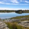 13. 06/12/2023. Hikers. Sutton Salt Lake – Glencreag Track. Grade 2.5. $16. 60km. Leaders: Wendy Langley/Katrina McKenzie
17 of us headed to Sutton where we walked the Sutton Lake loop. Continue Reading »
Aug 29 2023
35th AGM 24 August 2023
A very successful AGM was held at the Presbyterian Church Hall in Church St, with 50 folk attending and 15 apologies received!
It was great to have such a mix of members attend and even before the meeting was formally underway neighbours and passersby were commenting on the noise from the hall.
The usual AGM processes and topics were efficiently dealt to with the many highlights of the past year outlined in the Presidents report.
For everyone’s information the Officers and Committee were elected as follows
President Phil Keene
Vice President John Gardiner
Secretary/ Treasurer Jenni Wright
Communications Officer Ross Davies
Committee Jay Devlin, Jan Butcher, Karen McInnes, Pam Cocks, Barbara Shackell, Graeme Souter.
Jill Dodd has resigned from the committee as Past President and her contribution was highlighted in the Presidents report. Thanks again Jill for everything you have done and do for us.
The President outlined the approach taken by the Committee to confer life memberships on four members. The process outlined in the paragraph 4 (e) of the constitution was read, and then citations and presentations were read and made for Betty and Jim Finnie, Lester Harvey and Neil Morrison. It is worth recording these on our website, both for ‘history’ as well as allowing those members not present to share in the celebration.
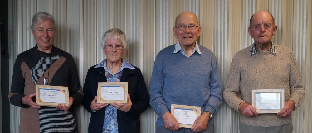
Our new life members (Carole accepting for Neil). Photo & caption John.
Betty and Jim Finnie: Presented by Vice President John Gardiner
“I have the pleasure of presenting two Life Memberships at once. These two people are both icons of the club, individually and especially collectively. Like tramping boots and gators, woolly hats and gloves, they complement each other, and just go together. Betty and Jim joined the Taieri Recreational Tramping Club in 2011, and in the 12 years since, our members have enjoyed their company on well over 100 tramps and hikes. Often, they have led and organized outings, sometimes going to great lengths to enable members to enjoy themselves. For example, Jim purchased a new chain saw, and organized a scrub clearing day prior to a hike. On another occasion, Jim and Betty left a ladder for members to use crossing a fence, and after all crossed the fence, went back days later to collect it. I’m told they’ve collectively, of their own volition, done many exploratory recces for new hikes and tramps, even taking Jim’s home built electric bikes partway up Government Track! Always in support, Betty, a little bird told me, even irons Jim’s pyjamas, and I remember her on the North Taieri hike, complete with a jangly pack on her back, running downhill, when she heard Jim was struggling with a crook leg!
Ladies and gentlemen, please congratulate Jim and Betty.”
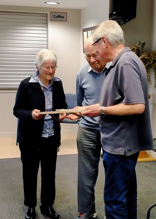
John presents the awards to Betty & Jim. Photo & caption Phil.
Lester Harvey: Presented by Past President Jill Dodd
”Lester Harvey is currently our oldest active member of the Taieri Recreational Tramping Club .He has been a member of the club for 15 years , on the committee 2014-18 along with being on the trip planning committee during that time .Lester is not so active at the moment as he is caring for his wife who is now wheel chair bound .That doesn’t stop this ingenious pair. Lester has adapted the wheelchair to carry the shopping bags on behind and a wooden addition between the back wheels to make negotiating foot path to road crossing a little easier saving jarring Daphne. They are often seen moving along the Mosgiel streets at a good pace and quite some distance from home! Lester is a dab hand in the kitchen often sharing his recipes with others. He opted to make his 90th birthday cake to be shared with the members in attendance at the Momona Hall a couple of years back .Lester is a local Taieri ‘lad’ so has many connections and knowledge of local walking trails which has been used to our advantage.
Once Lester retired, he didn’t just sit down so in 1996 he became the co-ordinator of the beautification of the rail corridor between Riccarton Rd along to Wingatui, 5kms. It had been very much an eyesore. 100s of man hours and 8 years later it was completed and known as Lester’s Pride- a plaque on the corner of Gladstone Rd South and Gordon Rd sits on the grass verge. Unfortunately the area from Gladstone Rd North is all that basically remains today. In recognition Lester was granted the 1st Fonterra Environmental award in 2008 for his labour of love.
Lester just doesn’t know how to stop; he still not only looks after his own garden but plants out neighbourhood gardens starting with the rotary hoeing stage. He stated just the other day he has 18 different vegetables either in the garden or freezer and the only vegetable he hasn’t given a go at growing in our more southern conditions is the Kumera. Bees have always been his passion and when taking off the honey a lot was given to the Taieri High (as it was known years ago) with the proceeds going to fund raisers for the school.
2010 saw Lester presented with the Queens Service Medal for community services. Lester has his faithful push bike that he is often seen biking around Mosgiel on. Even when he comes out hiking with us he arrives on the bike, leaving it unlocked for the day at the car park. Without any hesitation he swings a leg over the bar and away he bikes, no wobbling!
It is my pleasure to present Lester with his Life Membership of the
Taieri Recreation and Tramping Club 2023.”
Neil Morrison: Presented by President Phil Keene
“I have the pleasure of presenting a life membership award to Neil.
Neil joined the club in 2012 and as well as serving on the committee for four years Neil has organised a great many trips, many in the more challenging range, but as time moves on we see pictures of Neil in the write up for the trip 12 April 2023 proudly demonstrating his wonderful train network and collection when the walkers led by Carole, called in for morning tea and coffee, and I note that often the trip write ups were signed by Morrison and Morrison.
Neil has a presence that commands respect and his comment is always based on deep experience from someone who has done the hard yards and enjoys being in the wide-open spaces. He has a dry, often telling sense of humour.
Since joining the club Neil has in parallel been involved in the maintenance of walking tracks west of Flagstaff. We estimate that Neil has undertaken about 150 days of work, mostly with machines in his hands. His organisational and safety skills are to the fore, never more so when we have the flax clearing days. At times participants look to get a ride with him on his tray or quad, other times not!
This work enables the enjoyment of the tracks by the general public but also reflects positively back on the club and is recognised by the DCC, DOC and others.
I have invited comment on the award by Graeme Elliot from the Green Hut Track Group.
“The Green Hut Track Group is extremely pleased to be able to add support to the acknowledgement and Award of a Life Membership to Neil Morrison to the Taieri Recreational Tramping Club. The Green Hut Track Group first came across Neil, all on our hands and knees along with quite a number of like-minded people (both TRTC Club and Green Hut Track Group members), while trying to relocate the Whare Flat, Possum Busters Track, after the “Big Snow of June 2013”. Very fond memories!
Since that time, Neil and Arthur Heenan have been “commanders” of the Whare Flat Walking Track system. Neil has been my “main” contact for the past 10 years. It has always a pleasure to work with him. He is a superb person, he is stoic, he always has a huge smile on his face and just loves his involvement and fun with everything he does. The Green Hut Track Group is extremely proud to acknowledge Neil as a Member. Congratulations Neil the award is well deserved.
Best Wishes Graeme Elliot Coordinator Green Hut Track Group”
Ladies and gentlemen please congratulate Neil on this life membership award.”
In Neil’s absence Carole accepted the award on his behalf.
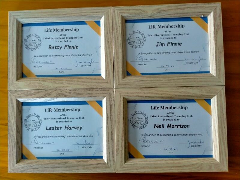
The four awards. Photo & caption Phil.
Halo Project: Jonah Kitto-Verhoef
Once we had the computers sorted Jonah the Operations Pest Manager provided an overview of the organisational structure that focuses on working with communities across 4 areas, predator free zones, forest habitat restoration, from source to sea and seabird habitat restoration. It soon was very clear that extensive skill sets and passion for the job was required! Jonah demonstrated the extensive concentration of trapping systems and methodologies with predator free zones surrounded by large buffer zones. Jonah demonstrated different trap types and when and how they are used to the best outcomes; he acknowledged there is a ‘dark side’ to the work. Much of what Jonah demonstrated is on the Halo Project website https://www.haloproject.org.nz/predator-free and this includes resource info sheets for groups and individuals. Clive Crossman thanked Jonah for his talk and presented a donation from the club for the Halo Project’s work.
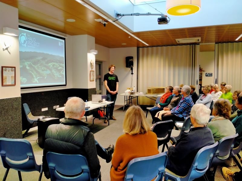
Jonah Kitto-Verhoef from the Halo Project presenting. Photo & caption Phil.
Thank you again to everyone who contributed to a successful AGM and we look forward to another great years walking and talking and …….
Phil Keene
Jul 08 2023
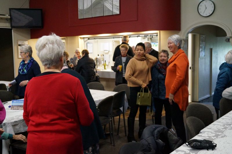
5 July 2023. 35th Birthday/ Mid winter lunch (More photos below this report)
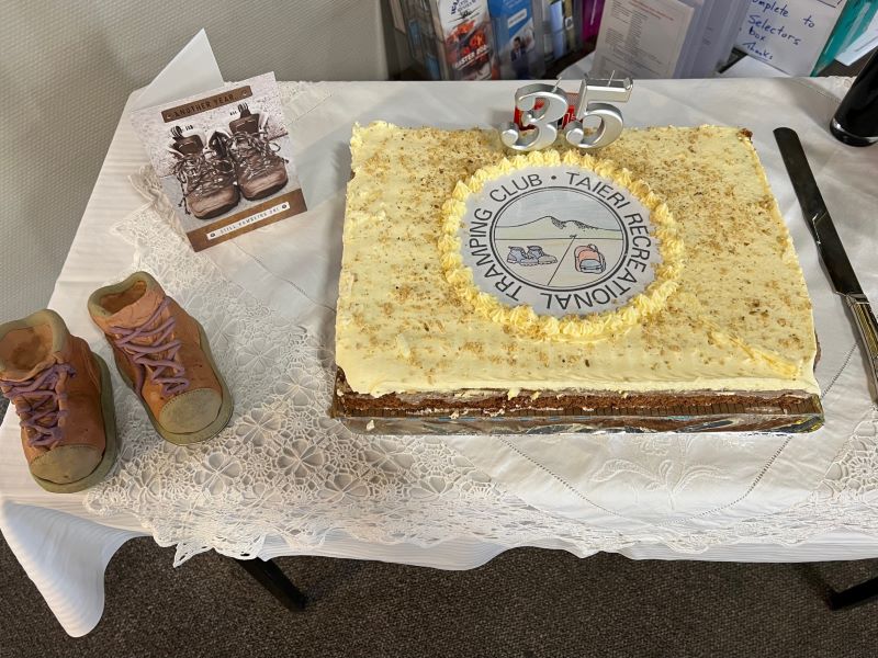
Photo Pam
Seventy members and partners enjoyed and made the most of being ‘35 ’, at the Taieri Bowling Club’s excellent club rooms. It was a Wednesday with a cold wind, so we were all more than happy to be inside mixing and mingling and enjoying each others company.
Clive Crossman had prepared a photographic presentation that played continuously throughout the day which brought to mind lots of memories, and questions such as where’s that?, who’s that? and we must go there again……thanks Clive for the presentation (we will make it available asap) and again thanks to Jenni Wright, Jill Dodd and Eleanore for their planning work, which as they say ‘was right up there’; the missing flowers from gardens around Outram were found in the posies on the tables; also to John Gardiner for being our ‘official photographer’ on the day.
Phil K alluded to the historical information that could be viewed as well as mentioning that in the first handful of years the club had undertaken over 20 camping trips with a consistent number of around 25-30 folk attending, then a high percentage of members. Following Ian Fleming’s grace, especially poignant with the recent passing of Shirley, we enjoyed a lovely finger food meal and took a moment’s silence to remember past members and special memories and noted apologies from those who could not be present.
Jenni Wright gave an update from Judy Knox over in that west island, and then read out Judy’s poem that she had written especially for the day – so many thanks Judy from everyone present. We laughed a lot!
“TRTC 35 years – Congratulations
I wish that I could be with you
To share some memories, one or two.
Thirty-five is quite a lot
Of years for being on the trot.
I recall a lot of fun,
On all the trips that we have done.
Sadly I can’t be with you –
Which leaves me feeling rather blue.
But not for long, I’m pleased to say –
I’ll live to tramp another day.
My hip replacement happens soon
Then I’ll be jumping up and doon.
To have it done I’ve waited long,
And I just hope it won’t go wrong.
Then home I’ll come, to see you all,
And all those trips we will recall.
We all are older, some have passed,
It comes to everyone at last.
So get stuck in and celebrate,
It really is a special date.
From here I’ll raise a glass to you
And have an extra wine or two.
In memory of those special years,
To all of you, three hearty cheers!”
Following this Andrew Simms Chair of the Mosgiel Taieri Community Board gave an insightful talk on key matters affecting the community which Clive summed up in his vote of thanks as ‘get involved’. Andrew’s outline of options to use the Taieri Gorge line for walking and (e) biking was a vision worth exploring and supporting for us ‘recreationists’! Imagine the scores of lycra clad golden oldies at the Wobbly Goat or Wal’s if two major bike trails met on the Taieri, not to mention cycling on to Dunedin through more tunnels!
Phil recited one of his favourite poems, Place, by Brian Turner. After alighting the plane at Momona from his 7 months lockdown in Perth he noticed it in large print upon the wall upstairs near the restaurants. Bit of a twinge there!
Place
Once in a while
you may come across a place
where everything
seems as close to perfection
as you will ever need.
And striving to be faultless
the air on its knees
holds the trees apart,
yet nothing is categorically
thus, or that, and before the dusk
mellows and fails
the light is like honey
on the stems of tussock grass,
and the shadows are mauve birthmarks
on the hills.
– Brian Turner, All That Blue Can Be (Dunedin: John McIndoe, 1989).
Bev Harvey then did us the honour of ‘the cutting of the cake’ which following the group photo was devoured.
It was great to be 35 again and I’m almost looking forward to being 40 again…….but before that we have the AGM on the 24 August 2023 at the Mosgiel Presbyterian Church at 1.30pm. In addition to the usual we will have a presentation from the Operations Manager of the Halo Project, so I look forward to seeing you all there.
Phil K
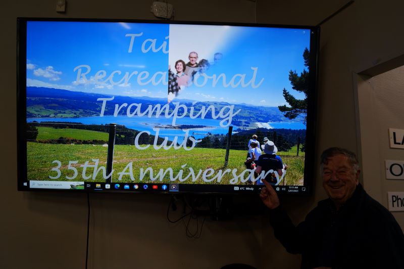
Clive starting his slide-show of the club’s history. Photo & caption John
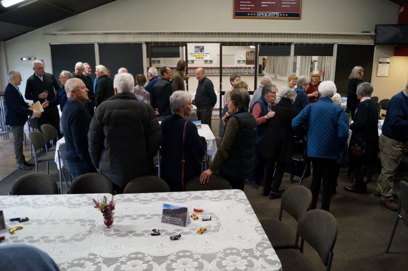
Initial get together. Photo & caption John
The bar was popular. Photo & caption John
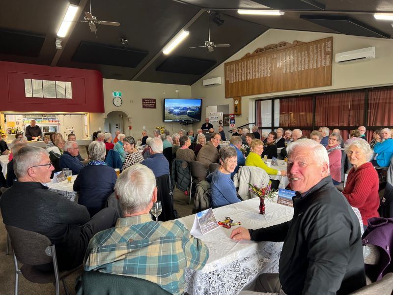
Photo Pam

Lots of history at this table. Photo & caption John

Jenni reading Judy Knox’s poem. Photo & caption John
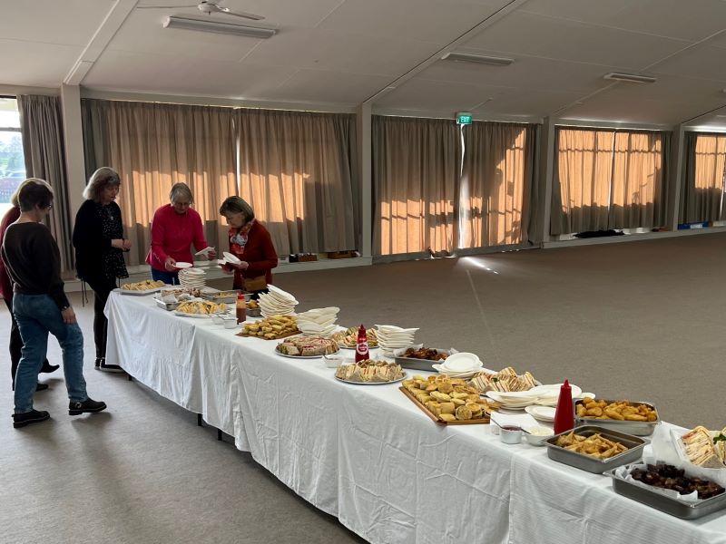
Photo Pam

Enjoying lunch and a catch up. Photo & caption John
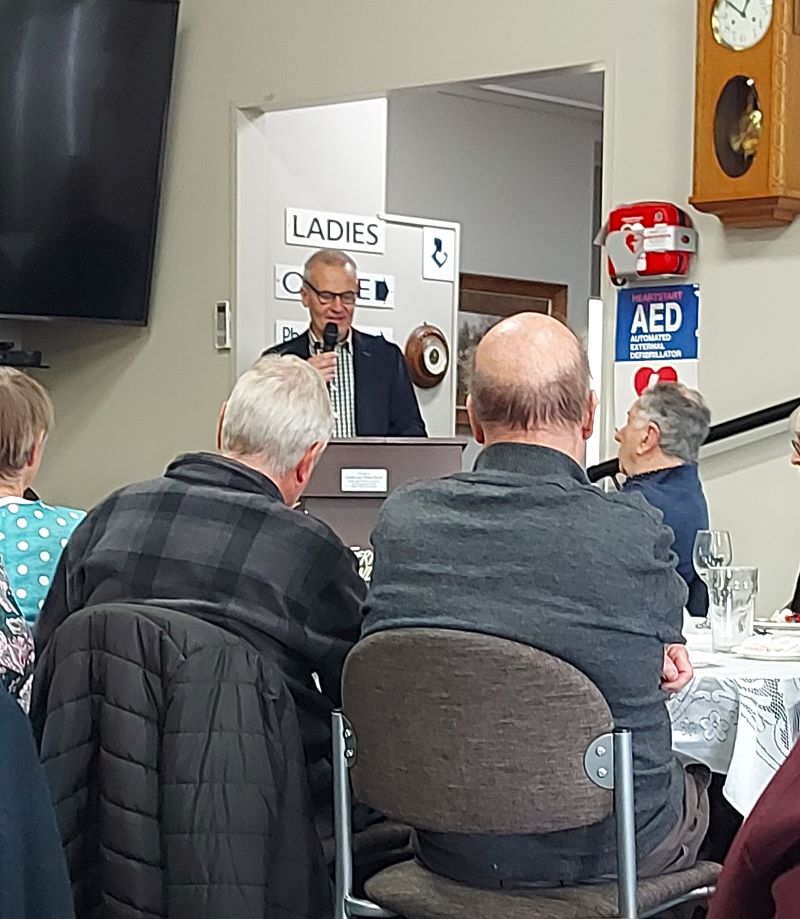
The guest speaker Andrew Simms. Photo Helen
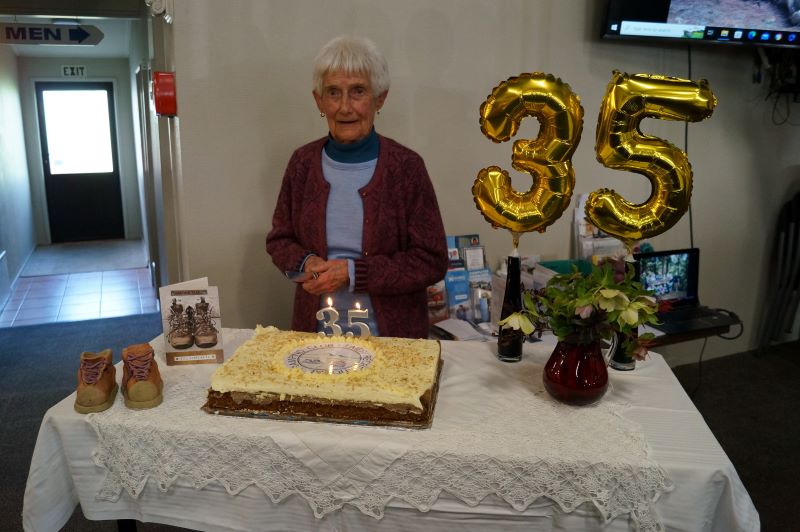
Life member Bev Harvey about to cut the cake. Photo & caption John

The group photo. Photo & caption John
Apr 28 2023
3. Titri Wetland, Waihola Township and Lake. Hikers. Leaders Eleanore Ryan
On Wednesday 26 April 2023, it was very windy when 19 of us hikers arrived at the lake, meeting up with 3 from Outram. What a champ Bruce was joining 21 ladies!!! Also welcome to the new members.
We started off at the Sinclair, Bungard and Huddleston trees near the campground entry. My Great, Great Maternal Sinclair Grandparents arrived in 1857 from the Orkney Islands with 10 surviving family (they had 13 babies in 27 years). On arrival after 100 day voyage on the Māori to Taieri Ferry the father and older sons (my G. Grandfather bought a horse on the voyage) set off to find land and build a house. They settled at the junction of the Henley and Titri roads— which was the main road through to the early 1960’s. Between them they owned bordering farms, married and raised large families. My brother still farms Titri which has been in the family for over 100 years.
Eleanore giving us some interesting history. Photo & caption Helen

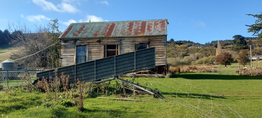
An older timer’s cottage (now derelict). Photo & caption Margreet
The Baumgardt (now Bungard) family arrived in 1872, along with 40 Polish families and settled round Allanton and Waihola, mainly employed building the Railway line south. They too also farmed round Waihola, and Taieri Ferry.
We walked up past the school and had smoko at a little cottage that would have housed a large family back in the day. Up the road a little further we stopped outside what was the home of Arthur Draper. He came from England and set up a Business in Outram in 1909 making Cricket Bats from Willow. He moved to Waihola in 1917. Over time he made around 10,000 bats from local Willow that had dried for 2 years. By the 1930’s lighter imported bats were proving to be more popular.
The house where Arthur Draper made the first cricket bats. Photo & caption Helen
Up the hill overlooking the lake is the Cemetery, where a lot of the original Settlers are buried.
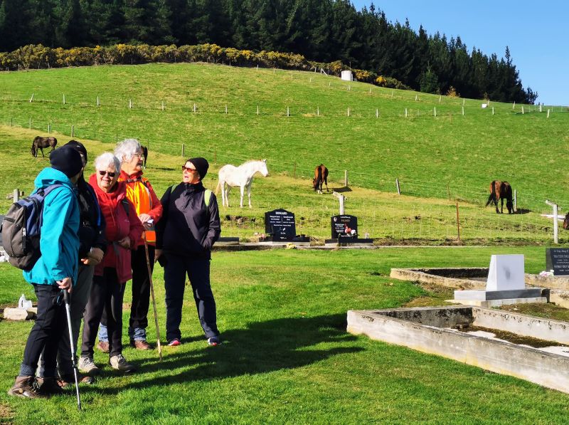
Eleanore pointed out historic graves at Waihola Cemetery. Photo & caption Margreet
It was then down the road back to the far end of the lake where we found shelter for lunch. The lake was really stirred up with the wind.
A lunch spot out of the wind. Photo & caption Margreet

Sun on the lake. Photo & caption Helen
Back to the cars and a short drive down to Titri wetland where we had seen the 2 Macracapa trees planted alongside a home built in the 1920’s. Some years later it was cut in half and dragged over the Island to the Waipouri river where it was floated down the Taieri river to Taieri Mouth—This Villa is still in ownership of a visitor we have had out a couple of times.
Titri Nature Trail. Photo & caption Margreet
A short drive back to Black Swan for Coffee, cake and chat—where we were served with a smile, which is not always the case these days.
Afternoon tea at the Black Swan. Photo & caption Margreet
Thanks to Jenny Flack for keeping an eye on the tail Enders. Not many km’s, hopefully you all enjoyed the outing hearing snippets of local history.
Eleanore Ryan
Apr 14 2023
2. 12 April 2023 Trampers and Hikers
Choices for Hikers: Stay home and knit or brave the elements of mist and drizzle with potential rain but leave the Waihola Wanderings for another time. 11 chose to go for a local walk.
The course was plotted as we left the Peter Johnson carpark, going along the riverside, turning at the helicopter pad and wending our way over to Wingatui Rd and Gladstone Rd North.
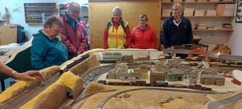
It was decided to have morning tea under cover. Wingatui Station (built in 1875) was a likely possibility. However, the leader veered off track and we arrived at Neil’s model railway instead.
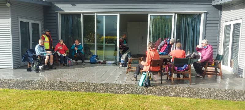
Morning tea in luxury at Morrisons. Caption and photo Helen
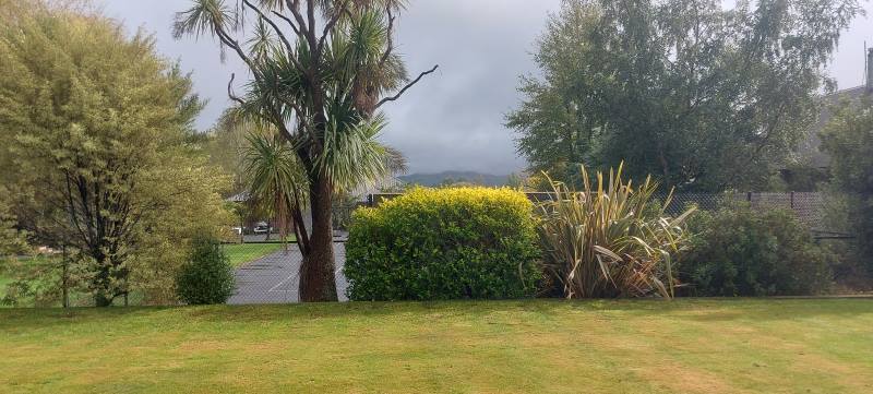
View from their house of fog Caption and photo Helen
This of course provided shelter as he coped with the unexpected invasion and happily displayed rail/train manoeuvres.
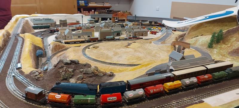
Neil Morrisons trains – amazing Caption and photos Helen
Dry and refreshed, we passed the evidence of autumn in the yellow, gold and red tree colours, and wended our way back to the carpark after a pleasant 10 kms of Mosgiel Meanderings.
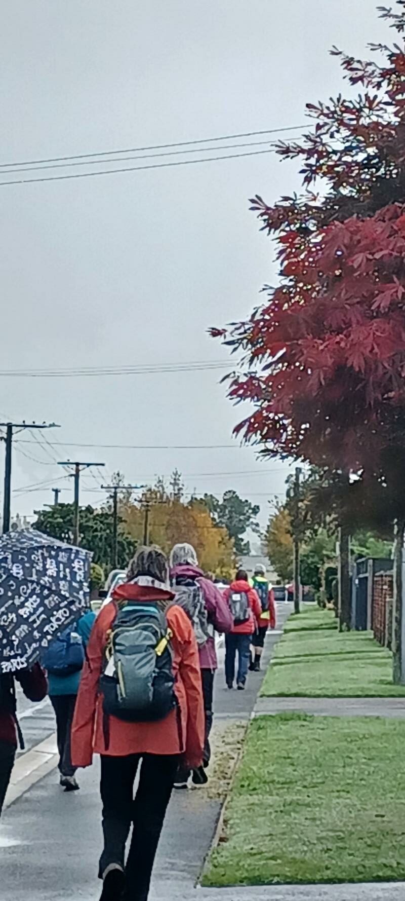
Hikers passing by Caption and photo Carole
Eleanore and Carole
The Trampers choice
As a weather alert was given, safety required that we could not go to Rosella Ridge, so it was decided we would meet at Woodhaugh Gardens. After discussion, we headed towards Bethunes Gully. The rain had eased so we walked beside the Leith with some nice street art on the walls of the Leith.
Street art surviving the students !. Caption and photo Pam
We continued past the gardens, into North East Valley, past Dunedin North Intermediate school, then Baldwin Street(no takers), Dunedin Hospice and Ross Home. We detoured into Chingford Park, a nice stone home, which catered for weddings.
Chingford Park- Discussing the weather!!! Caption and photo Pam
We stopped at Leith Harrier and Soccer grounds for morning tea.
Morning tea under shelter at Chingford Pavilion. Caption and photo Pam
Moving on we passed some garden plaques on a fence. Into Norwood Street we continued to Forrester Park (bmx bike park) then into Bethunes Gully. The good 35 minutes of uphill, required some reduction of gear before an uphill climb. On the way a large tree had fallen and was being removed. We passed a couple of waterfalls,5 bridges over Lyndsay Creek and got to the top at 12.05 – lunchtime.
Soggy sandwiches eaten on Bethunes track. Caption and photo Pam
The return to the bottom took 30 mins, past the Normanby Tavern (now closed), Ross Home, then via a track behind the Hospice, thanks John G. We continued back onto the main road to NEV shops back to Woodhaugh and the cars. As some had cooled off due to drizzle, it was decided no coffees but a couple of pieces of chocolate fudge sufficed.
Distance 16.18km Elevation 445m actual tramping time 3hrs 6min.
Thanks Graeme S for being TEC. A fun day out. Phil.
Feburary 2018
Thirteen turned out for coffee. (Judy pic and caption.)
February 2018
Dec 03 2022
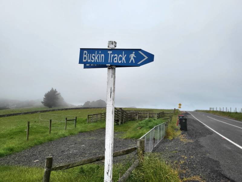
Sign on Highcliff Road (Photo & Caption Mike)
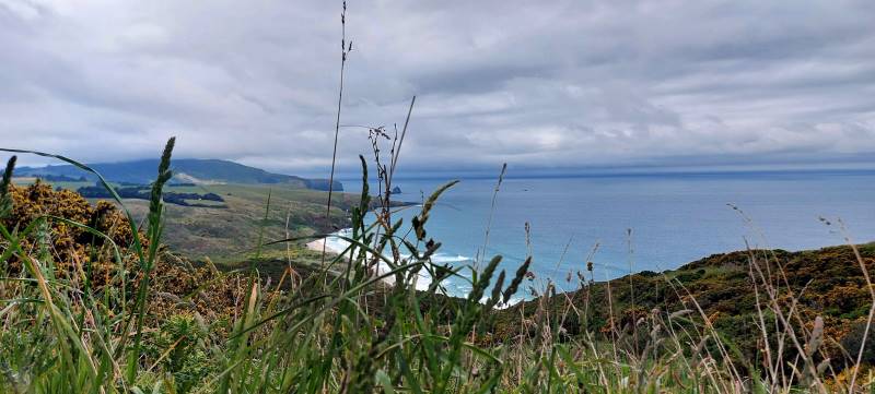
Morning tea looking over Boulder Beach (Photo & Caption Helen)
Lookout over Boulder Beach (Photo & Caption Margreet)
The steep descent was made without incident although some knees were creaking a bit by the time we had got to the bottom of the hill.
Gymnast of the day award was given to Jim Finnie. At the start of the Buskin Jim demonstrated his prowess by performing an impressive backward somersault with a half pike and a reverse tuck. The landing left a bit to be desired and stopped him getting a perfect 10.
Special mention also to Jay who re-arranged some of Max’s clothing after she spotted that he had his hi vis vest on upside down and back to front.
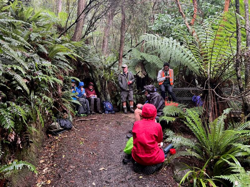
An early lunch was taken at 1130 in a sheltered part of the Buskin Track from where we could see the views of the coast disappearing in the mist and drizzle.
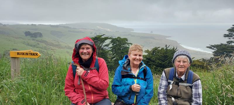
Eleanore Margreet and Betty on the seat with a view (Photo & Caption Helen)
The Buskin Track does not appear to be used much as the grass was quite long in places with a few areas of thistle and nettles to be aware of.
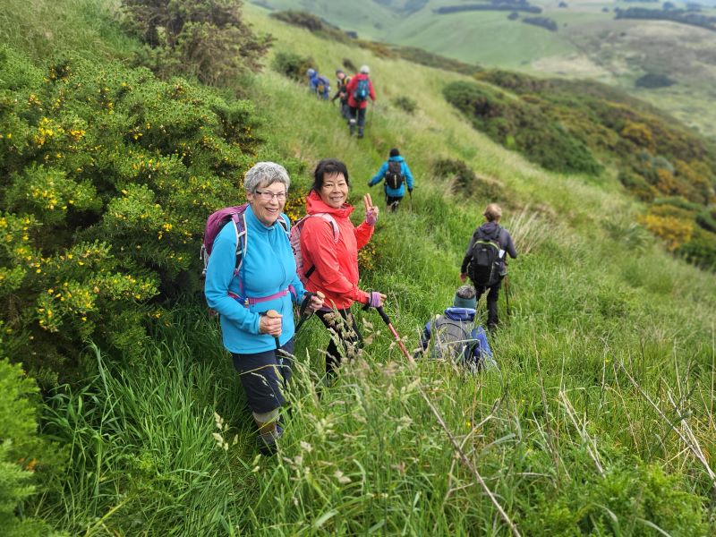
Bushkin Track (Photo & Caption Mike)
It was also a wee bit muddy and slippery towards the top where a few planks of wood had been laid.
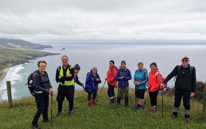
The group of 9 plus the photographer at our high point (Photo & Caption Helen)
Once at the top of the Buskin, it was a short walk along a private road to Highcliff Road and Karetai Road back to the cars.
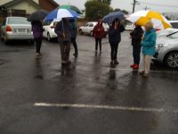
The weather was not as bad as forecast. It was overcast with a few drizzle patches and one short bit of “wet rain”. Poms know the meaning of this.
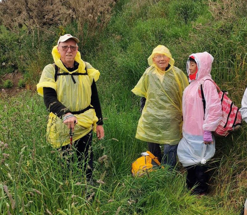
Ponchos the order of the day (Photo & Caption Margreet)
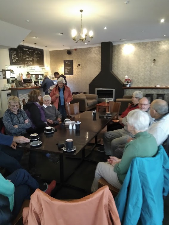
Debrief at the cars agreed that grade 3 was about right and that there would not be a coffee meeting on the way home.
As usual, great company and interesting conversation made this an enjoyable hike.
Mike
Oct 23 2022
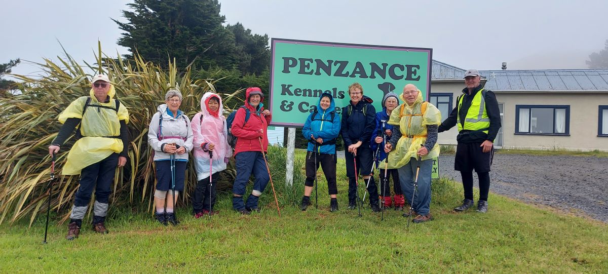
2. 19/10/2022. Trampers. Herbert Forest. Grade 3. Leaders: Di, Anne and Lyn
Today we set off over the Kilmog to the Herbert Forest; a hidden gem saved from the axe over 50 years ago. It is one of the last Podacarp (hardwood) forests left of the North East Otago region.
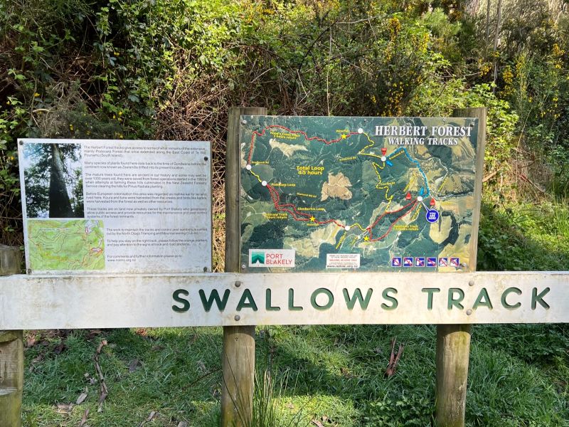
Photo Pam
We parked off Reid Road and proceeded along Swallow Track following the creek and crossing over the creek into steeper terrain.

Dappled sunlight on Swallow track Caption and photo Pam
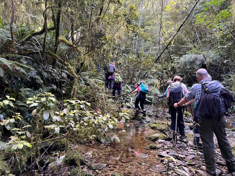
Many a Creek crossing on Swallow track Caption and photo Pam
After much huffing we reached a little yellow sign beneath a stone outcrop announcing the presence of the cave (Dave Melish was involved with this signage).
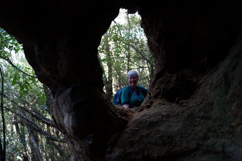
How did you pop up there Eleanore Caption and photo John
We stopped here for morning tea then continued up and onto the forest road, walked along a bit and went down to the Podacarp Track which is known for its big native trees Totara, Matai, Rimu, Miro and Kahikatea.
Some parts of the track were slippery and bit muddy due to the recent rain, but after a few creek crossings we came to the junction of the loops and had a well earned lunch and thanks to Anne for the liquorice allsorts.

Old codgers Caption and photo Esther
We walked back on the Glenburnie Loop with its very impressive silver ferns and bird life, came back onto Podacarp Track and returned our steps back to cars taking a shortcut at the top of the Swallow Track.
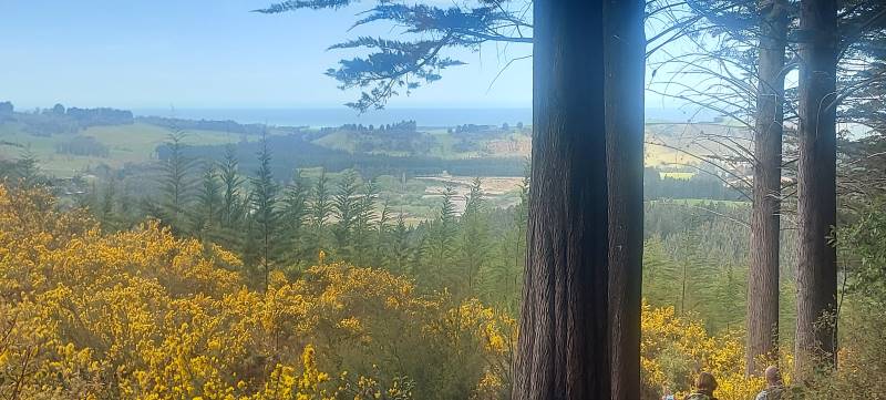
View towards end of track. 1st view. Caption and photo Helen
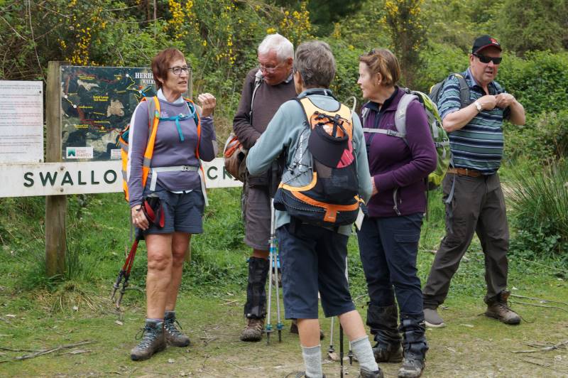
Tramp post mortem Caption and photo John
We stopped and had a delicious ice cream at Hampdon Store and headed home.
Overall we had a varied terrain and some neat flora and bird life along the way, thanks everyone who assisted on this tramp.
Cheers
Di, Anne, Lyn
1. 30/1/2019. Trampers. Herbert Forest. Leader: Dave.
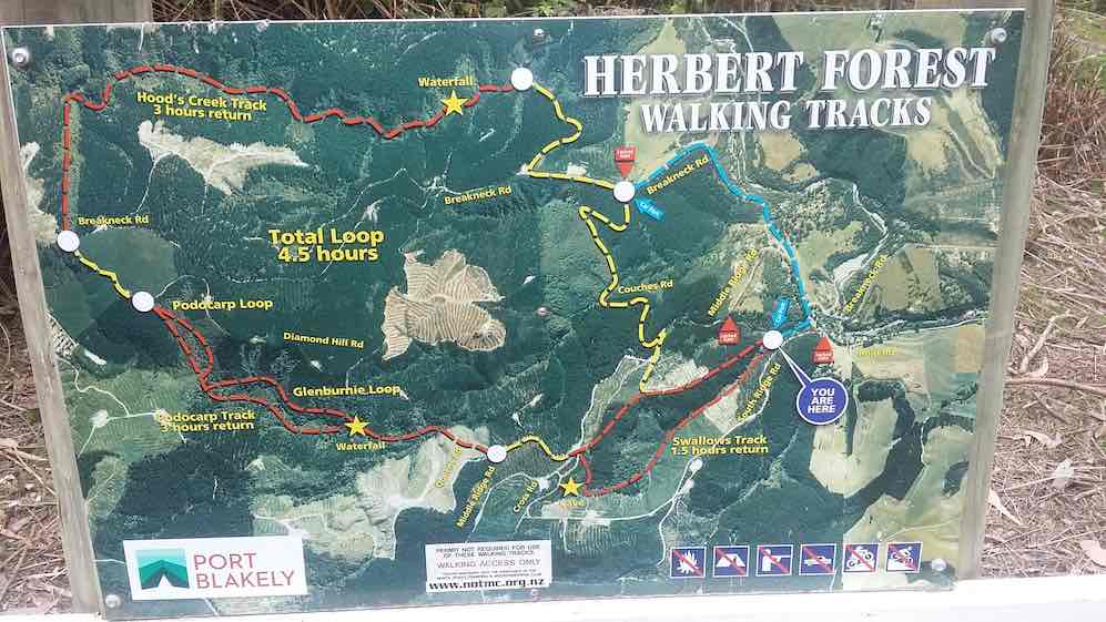
The clue is in the middle 4.5 hours Total Loop! (Clive pic and caption.)

Morning tea at caves. (Gordon pic and caption.)
Part of the large group at lunch. (Gordon pic and caption.)
One more obstacle. (Gordon pic and caption.)
One of many sream crossings. (Gordon pic and caption.)
Nearly down. (Gordon pic and caption.)
Enjoying the beautiful garden. (Gordon pic and caption.)
Jun 03 2022
[These historical notes were prepared by Ross for our wanderings around Opoho on 1 June 2022 on a tour led by Neil and Margreet Simpson and Wyn and Ross Davies. Only parts of it were recounted as we zoomed around, and some asked for a chance to read a bit more about what was talked about. What follows is the whole lot.]
Name of Opoho
Maori have been present in the area for 800-900 years. Two groups of Maori ovens have been found on the contours of the hill, said to have been used by people of the Ngatiwairua.
Poho is said to have been a Ngatiwairua chief in the 1700s, head of a family occupying a small kaika (village) by the outlet of the stream which flows down the hill into what was once Pelichet Bay (now Logan Park). O-poho simply means ‘Poho’s place’ and it came to be applied to the neighbouring stream – Opoho Creek.
Later it was adopted by one of the early English landowners for a subdivision on the middle slopes beside where the stream flowed (the Logan Park side), and gradually the name became applied to the whole suburb (on both sides of the ridge).
Opoho Odyssey Part 1 – Botanic Gardens Top Car Park to Knox College
Lovelock Avenue
Formerly Cemetery Road because of the Northern Cemetery halfway down. Renamed Lovelock Avenue in 1968, after Jack Lovelock who lived in Opoho while studying medicine at Otago University. It was the street he ran down every day going to university. Jack Lovelock kept running, and broke the world record for the mile in 1933. He went on to win the gold medal in the 1500 metres at the Berlin Olympics in 1936 (the first Kiwi to win an Olympic track event).
Signal Hill Road
The most enduring street name in Opoho is Signal Hill Road. It appears on all the maps. The top of Signal Hill provides a good view of the harbour and may have given the Maori a place to watch for hostile war canoes and signal from. With European settlement, the same hill was used to signal immigrant ships and perhaps to announce their approach to Dunedin residents. It remains one of the best-known landmarks in Dunedin.
Opoho Road and Trams
The original Opoho subdivision, called Estate of Opoho, to form Opoho Township was created by Captain Boyd in 1873. We’re going to wander some of the streets of this Opoho Township this morning, making our way down to Knox College for a tour at 11am. Opoho Road was the southern boundary of the Opoho Township, originally called District Road. It was the first access to the suburb from the Gardens although there was also a road to Dundas Street down Lovelock Avenue. Opoho Road was too steep where it meets Signal Hill Road for the trams, so a new loop was created through part of the Upper Gardens where the road now goes. It was the steepest line attempted by electric trams. The terminus was at the corner of Signal Hill Road and Blacks Road, and that was steep too. At least two trams ran away from the terminus when the brakes failed – with serious consequences. The tramline opened in 1924. Continue Reading »
Apr 23 2022
4. 20/04/2022. Hikers. Kuri Bush, Taieri Mouth. Jim and Betty Finnie.
Dave with hankie hat (caption & photo Noi)
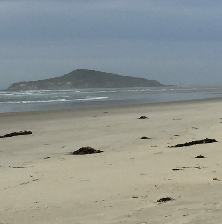
Taieri Island/ Moturata (photo Alex)
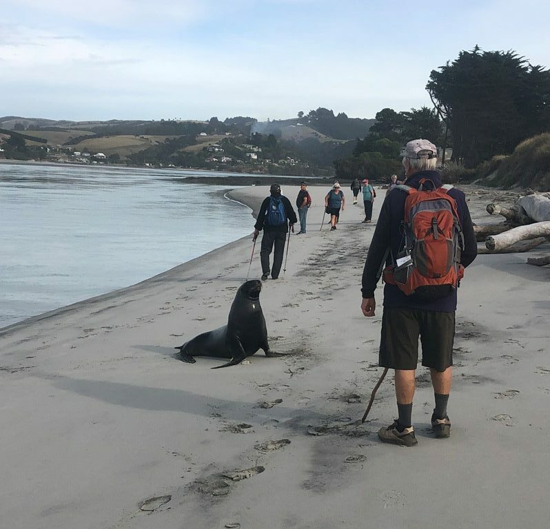
Stand off (caption & photo Jenni)

Pontoon sit-upon for lunch (caption & photo Raewyn)

Taieri River Bridge in background (photo Alex)
Leaders were Jim and Betty Finnie.
Sep 11 2021
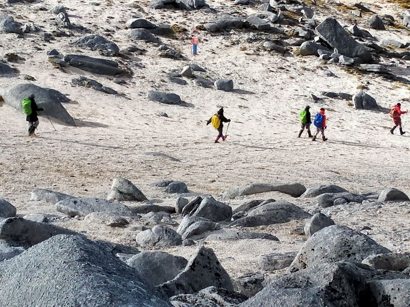
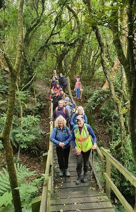
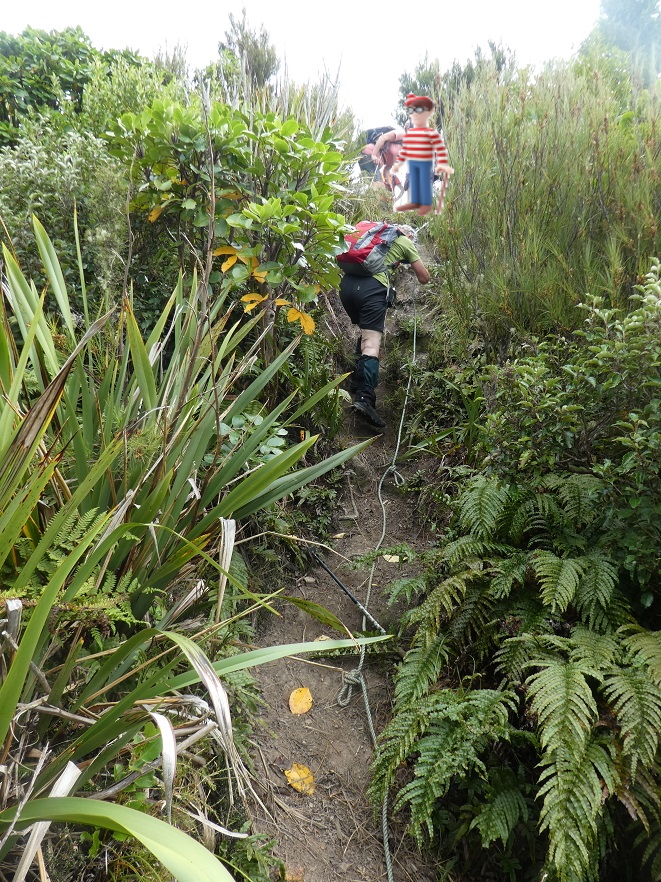
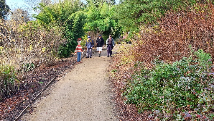 This week, for a little lockdown-lassitude relief, we’ve got something different for you, a game. We’ve chosen some photos at random from the Club’s activities over the last 10 months. We’ve invited Wally of Where’s Wally fame to join us. It’s hard to hide in a crowd in the outdoors, and Wally didn’t try. The idea isn’t to spot where Wally is in the photo. It is to figure out where Wally is in the world. Well not so much the world but more where he is in Coastal Otago – with one exception. Continue Reading »
Sep 11 2021
 We’ve chosen some photos at random from the Club’s activities over the last 10 months. We’ve invited Wally of Where’s Wally fame to join us. It’s hard to hide in a crowd in the outdoors, and Wally didn’t try. The idea isn’t to spot where Wally is in the photo. It is to figure out where Wally is in the world. Well not so much the world but more where he is in Coastal Otago – with one exception. Continue Reading »