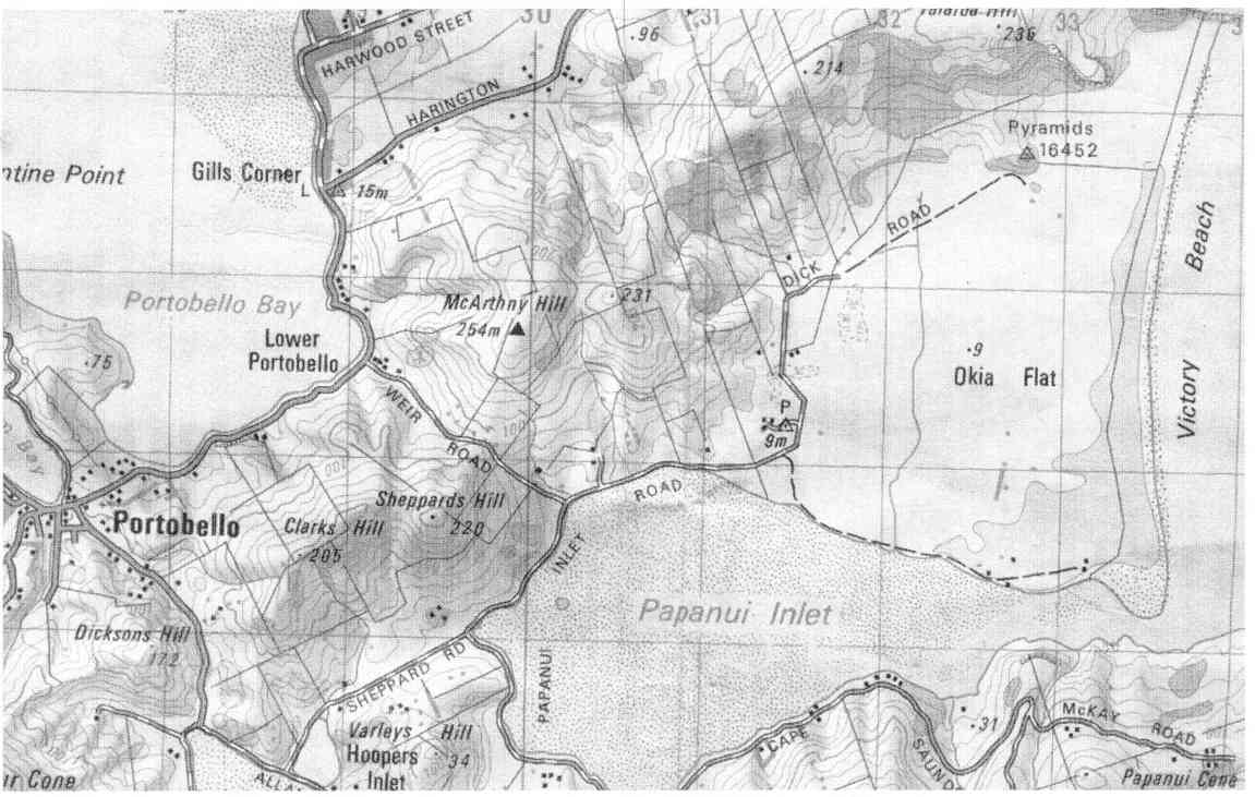
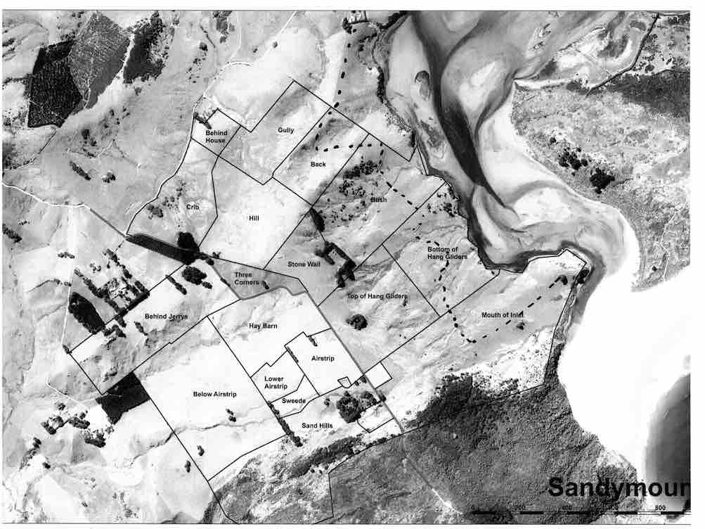
No. 93 on old hardcopy list of 113 club tramps. “Murrays Farm – Sandymount (Chris Hughes) Farm”
Distance for carpark: 31.5 km.
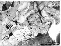
Map supplied by the owner. (Keith pic.)
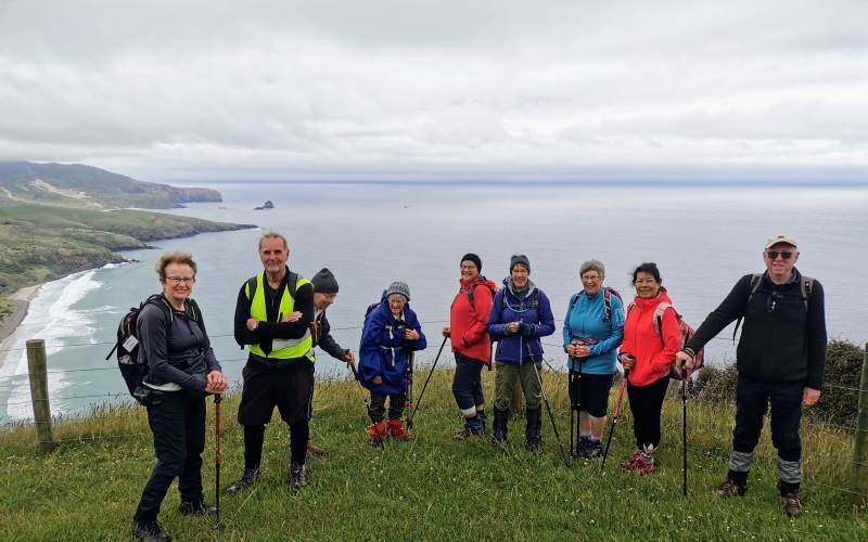
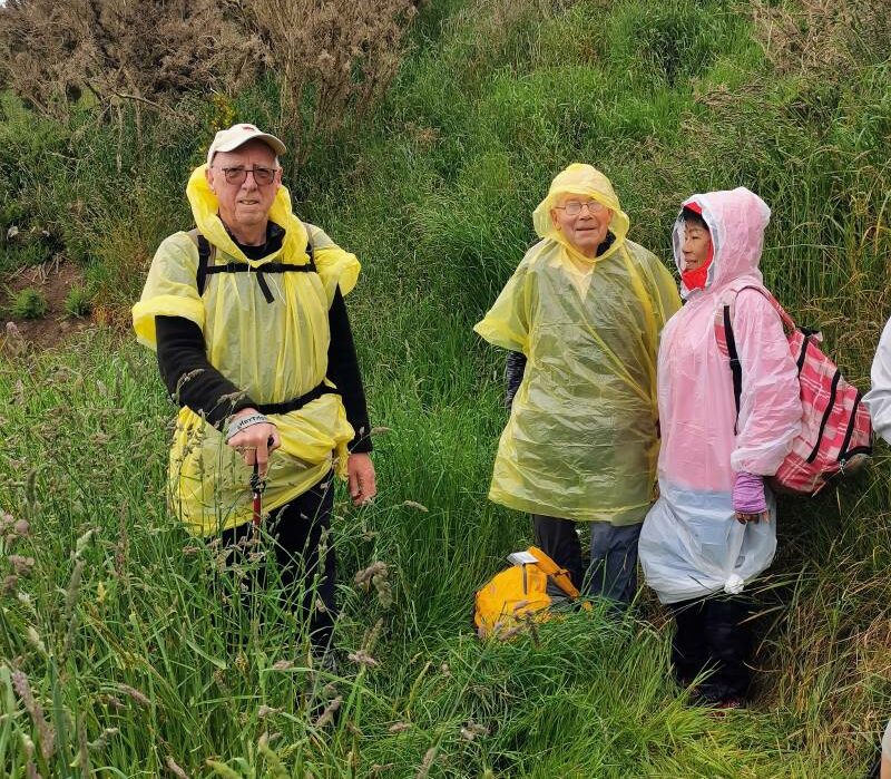
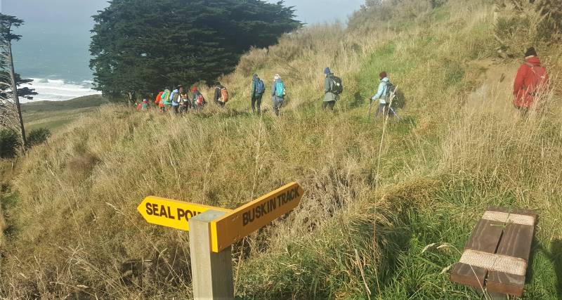
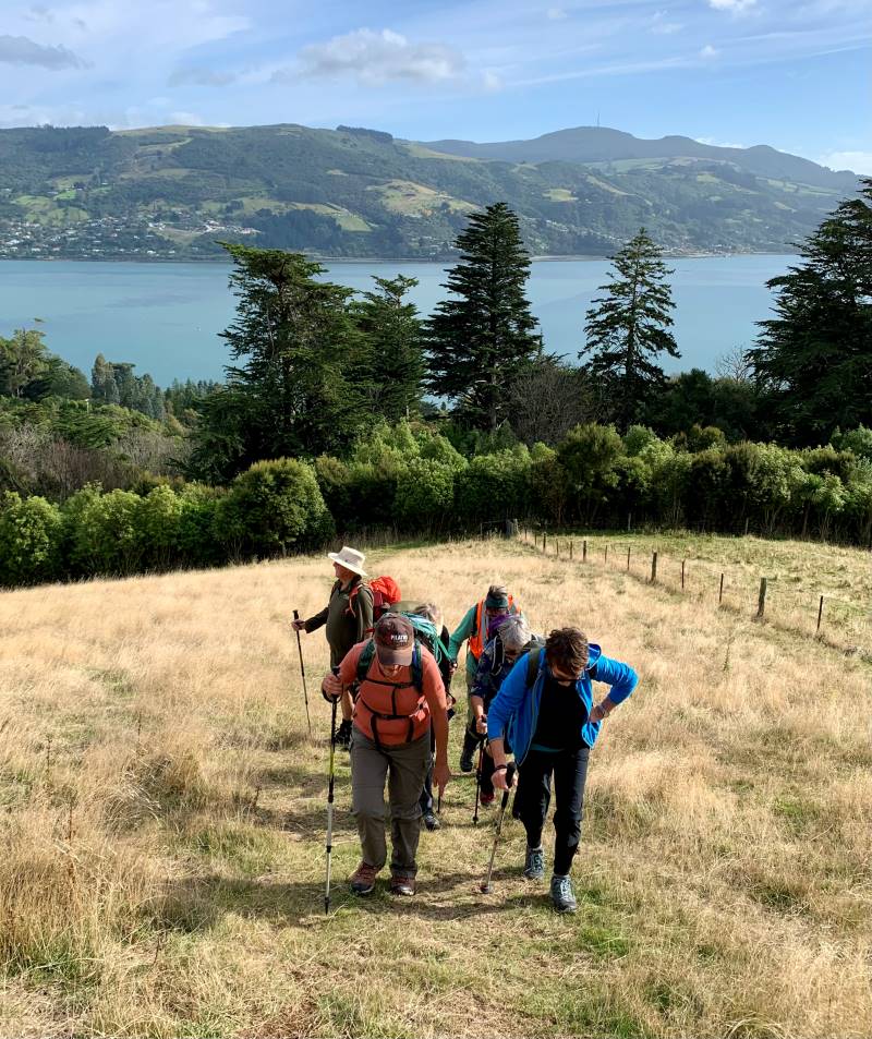
11. 29/3/2017. Hikers. Murrays Farm. M. Leaders: Keith and Shona.
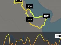
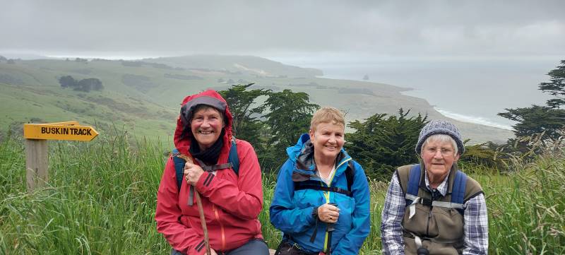
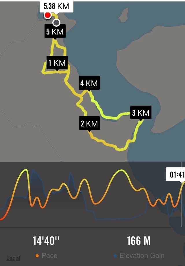
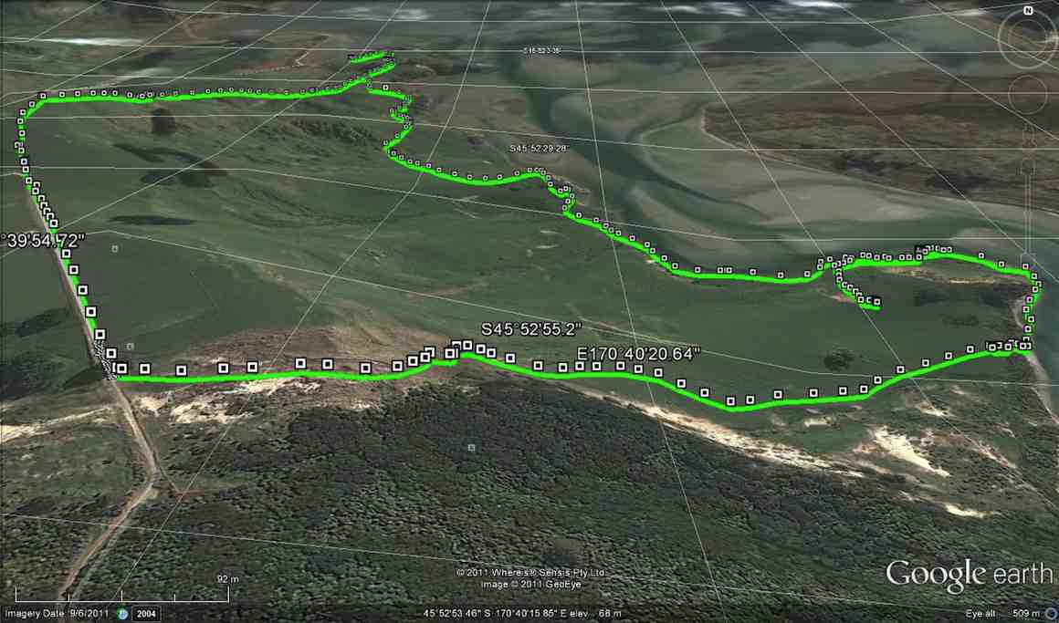
Route map, courtesy Ian.
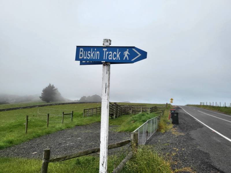
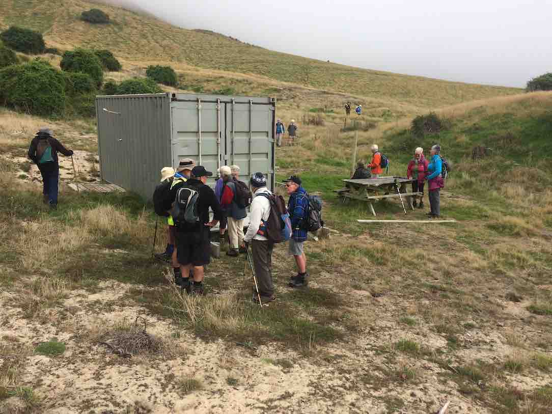
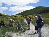
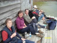
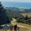
It was a foggy, misty morning when 19 Hikers met at the gateway bel0w Murrays Farm before ambling up the road to having morning tea in the implement shed.
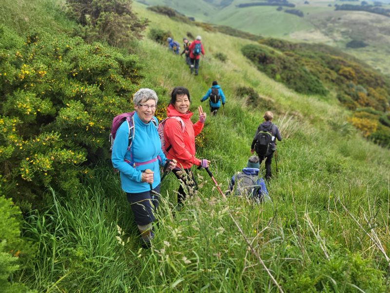
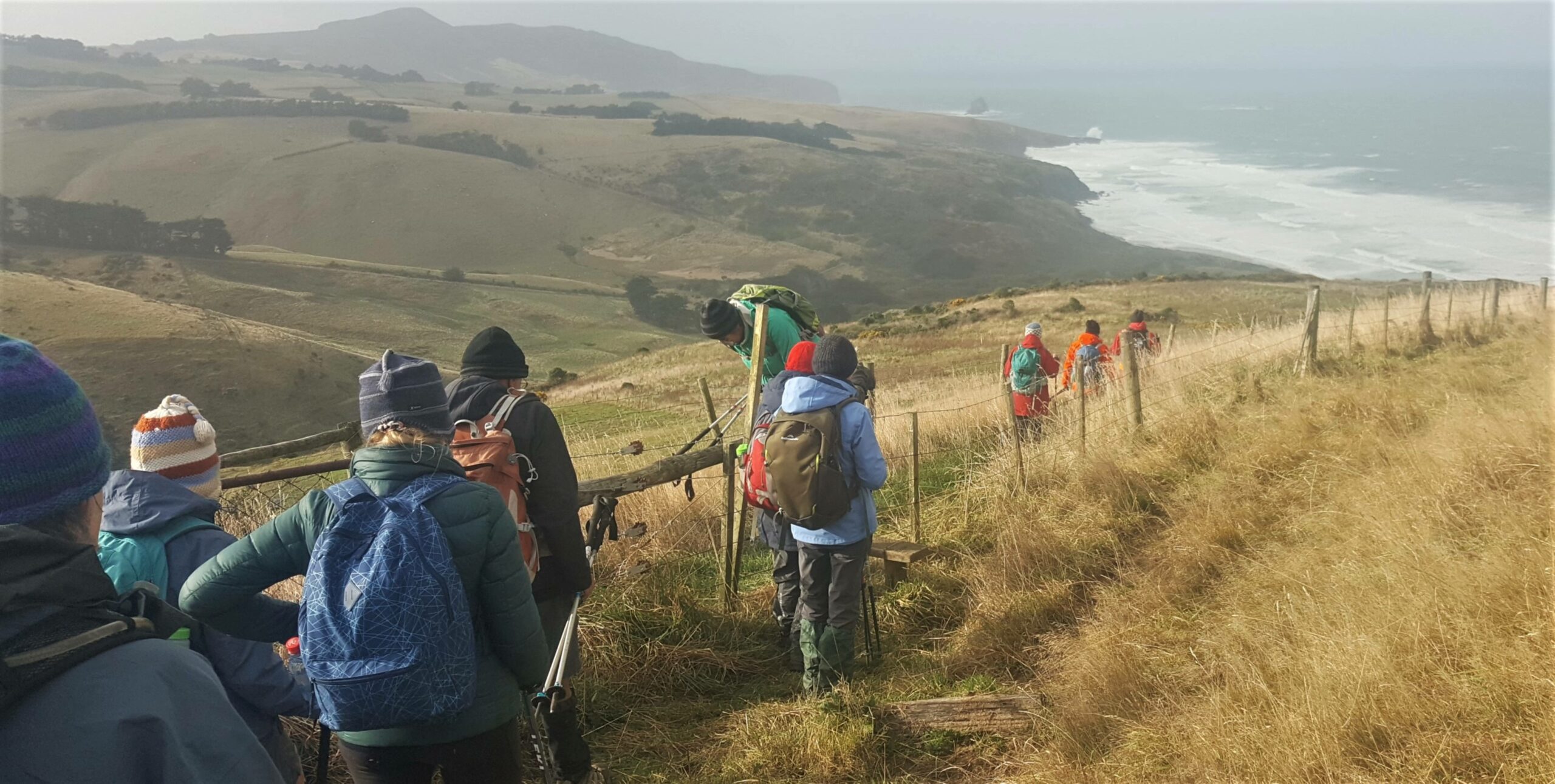
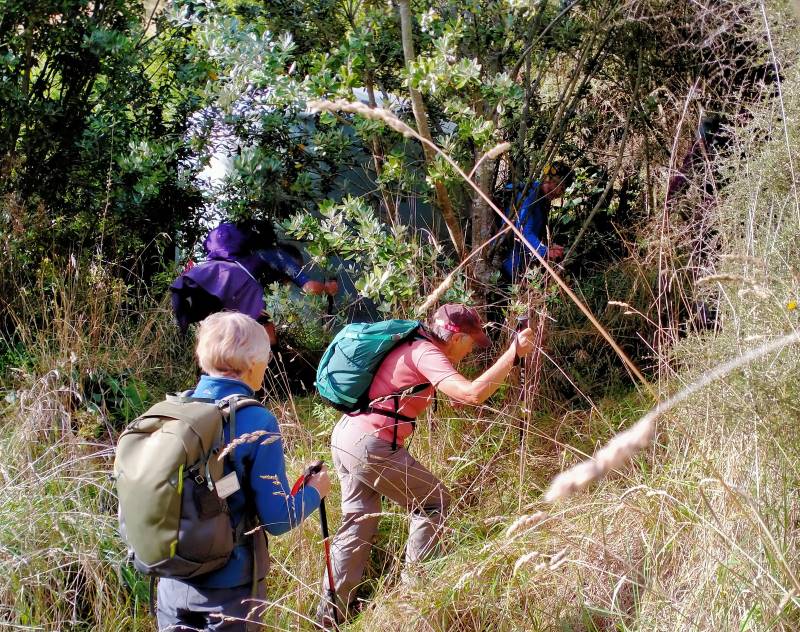
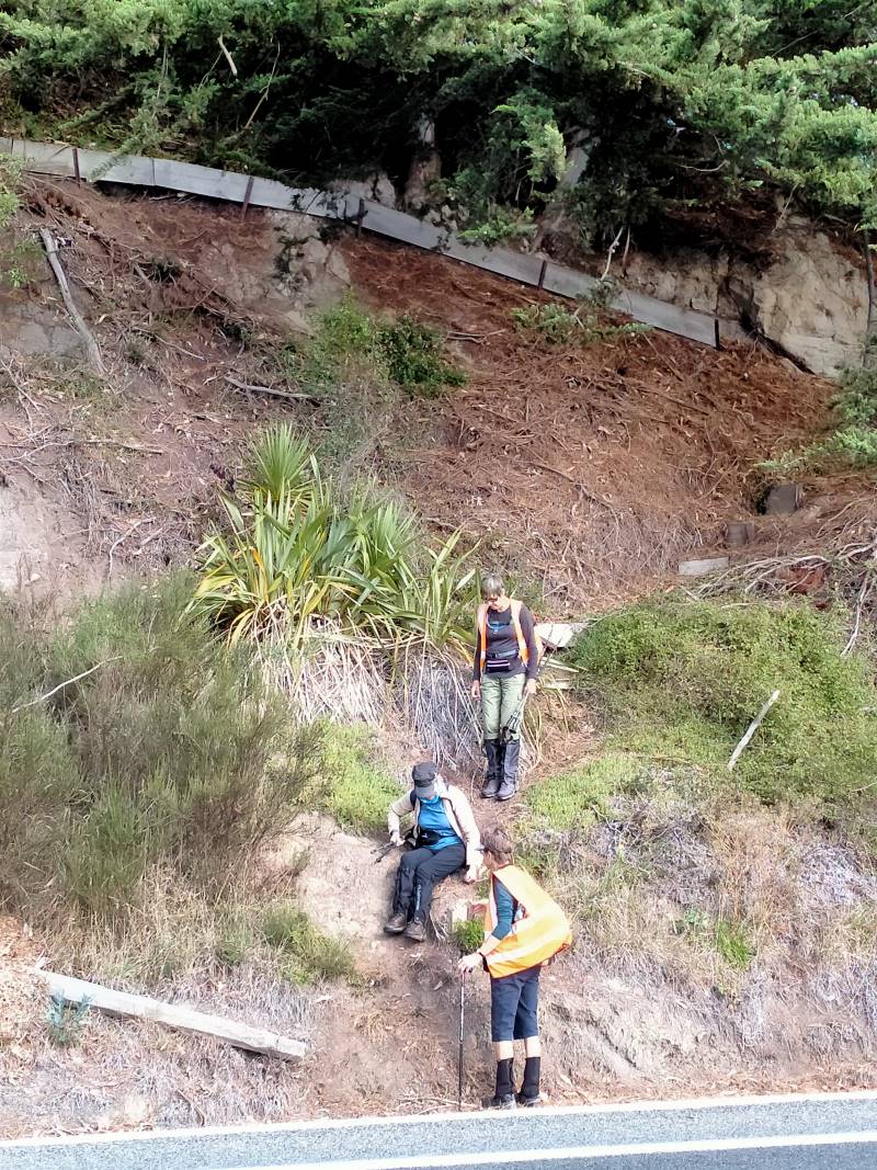
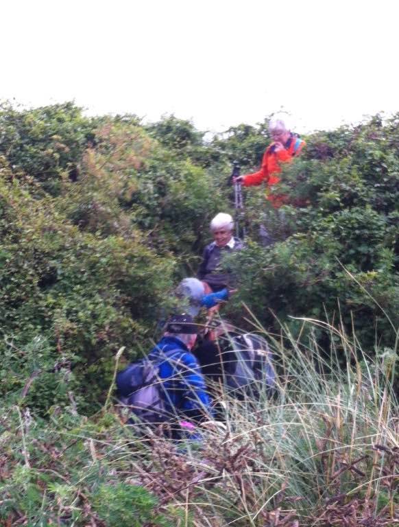
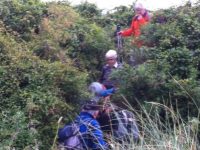
We then followed the fenceline up and across the paddocks before descending to explore around a container being used as a crib.

George investigates shower workings on new crib. (Ian pic and caption.)
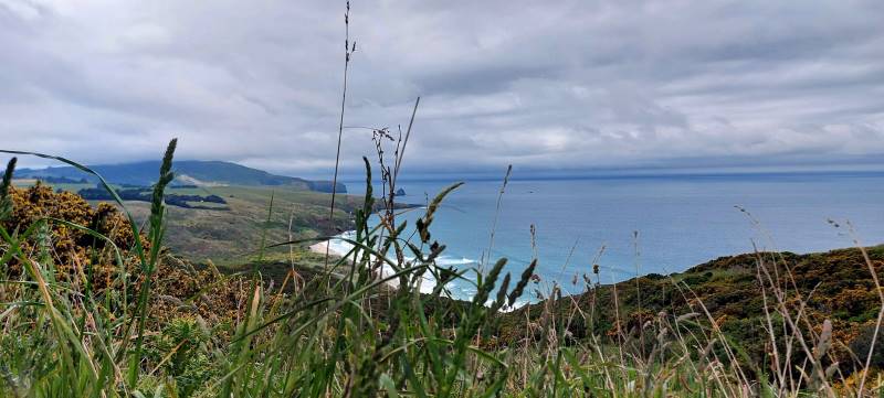
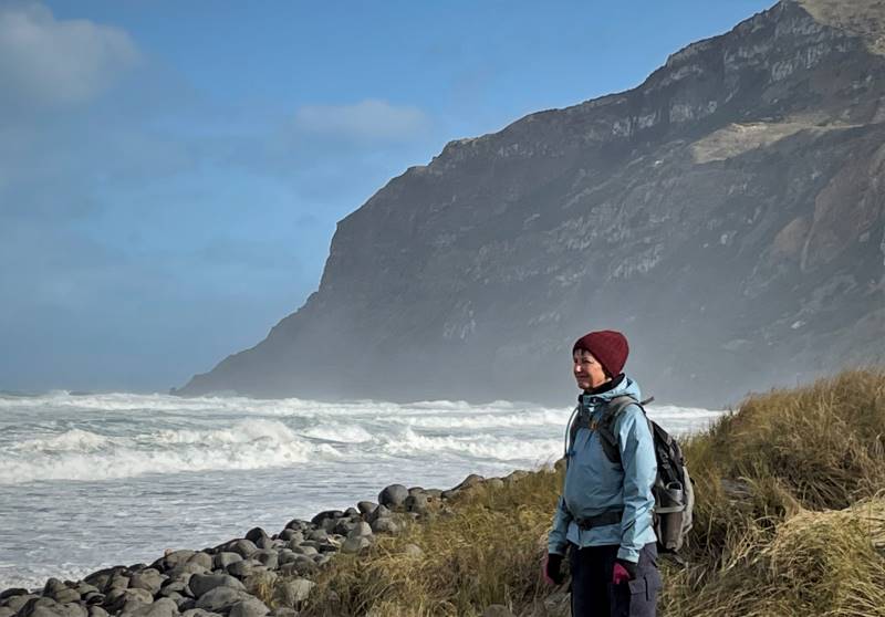
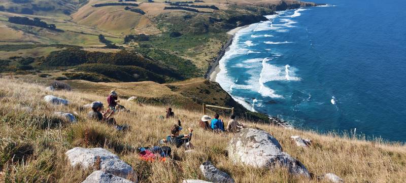
We exited onto the coast …
We discover a new route from paddock to beach. (Eleanor W. pic.)
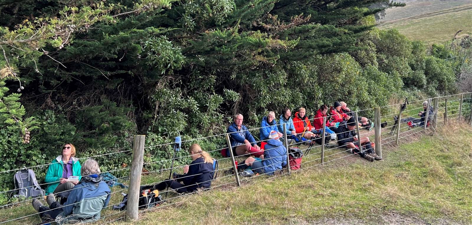
… where we had lunch …
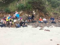
Papanui Inlet mouth beach for lunch. (Ian pic and caption.)
… out of the northerly wind.
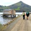
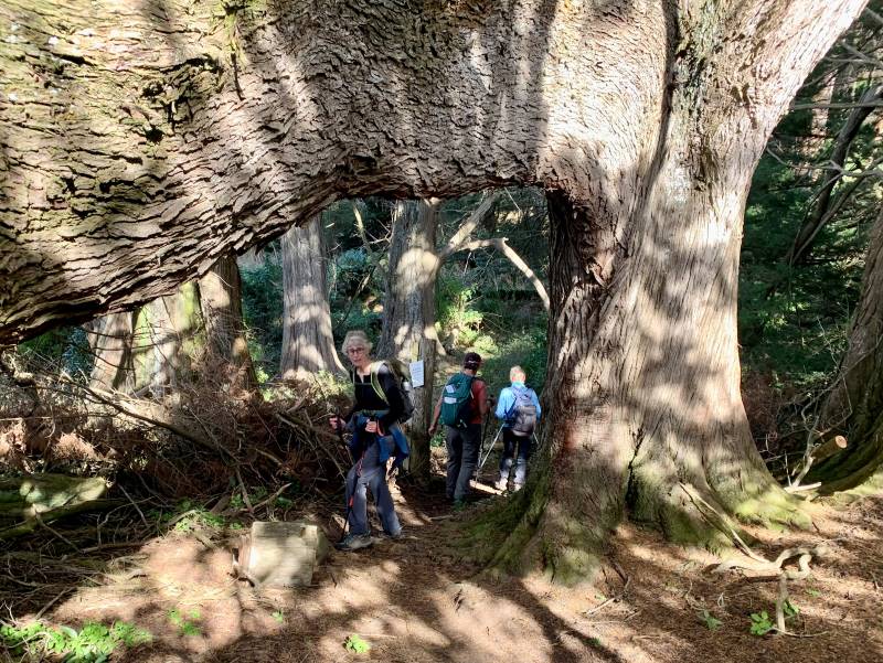
We followed the water’s edge around past the old boat shed, climbing up the hill and visiting an old dwelling also being used as a crib and back along the farm tracks to the hole in the hedge and down the hill to the cars.
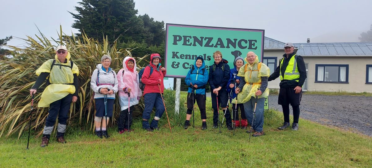
Coffee was at Macandrew Bay cafe. – Shona and Keith.
10. 20/2/2013. Hikers. Murrays Farm. Medium. Leaders: Peter and Wendy.
Morning Tea at old homestead

Paradise Ducks in formation

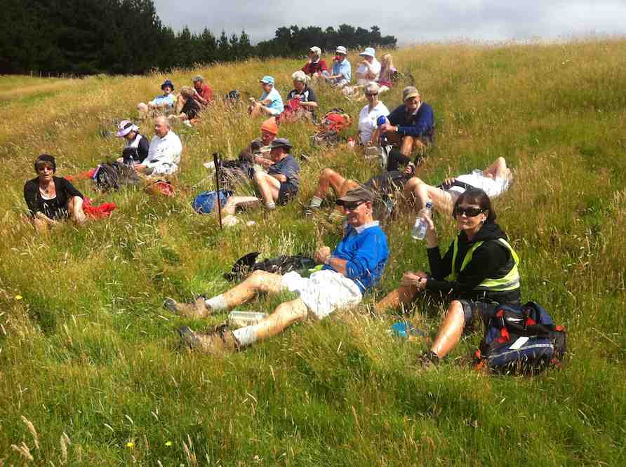
Waiting for others in shelter from the hot sun
9. 7/12/2011. Both. Murrays Farm. Medium.
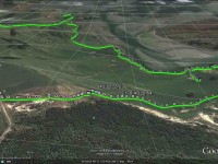
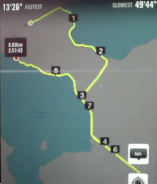
GPS courtesy Ken. Track from distant spot anti-clockwise.
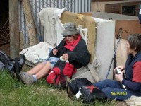
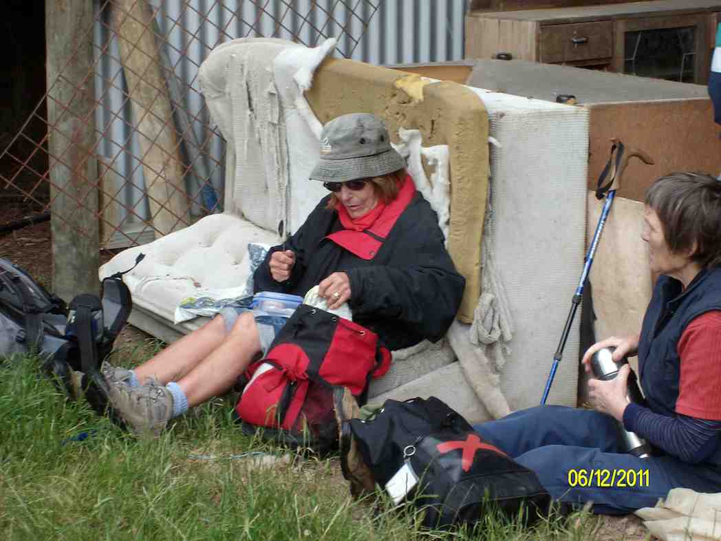
Comfort plus for morning tea. (Ken pic and caption)
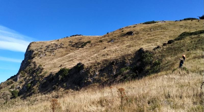
Five trampers scaled the almost vertical ascent to the Sandymount road before descending further by the bush.
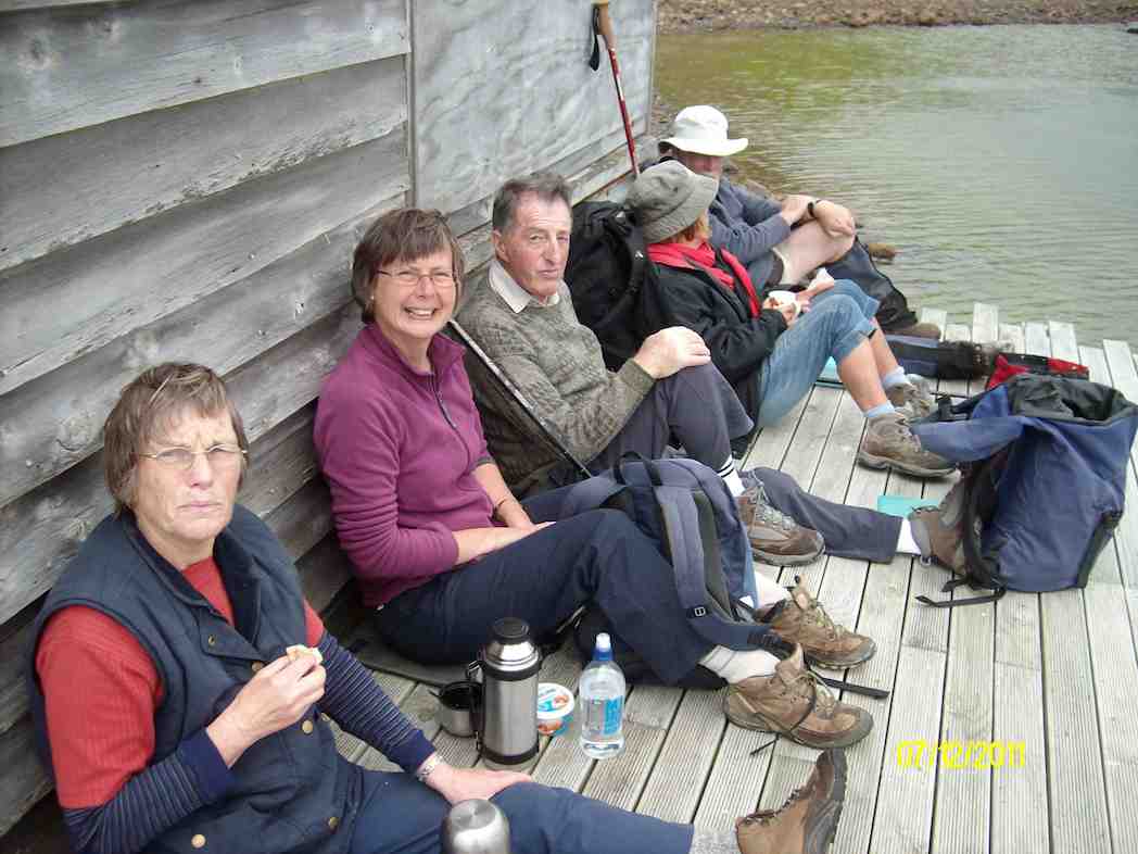
We sampled the beach at the mouth but a keen wind persuaded us up around the point to a boathouse in a more sheltered position.
Lunch stop. (Ken caption and pic)
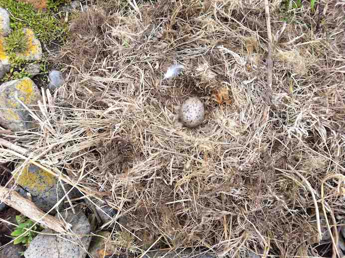
Just along a little bit from the boathouse, we came upon this nest.
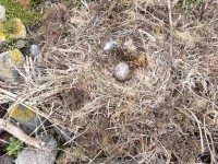
Black gull’s abandoned nest. Our bird expert explained they lay 2-3 eggs-in-nests before inclubating a further pair.
Then it was just a case of following our noses back across paddocks to the cars. – Ian
8. 10/2/2010. Hikers. Murrays Farm. Medium. Leaders: Margaret and Les, Fred.
7. 14/5/2008. Hikers. Murrays Farm. Easy. Leaders:Chris, Gwen.
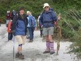
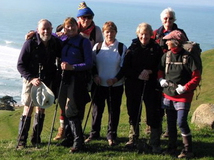
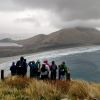
Fine upstanding Hikers
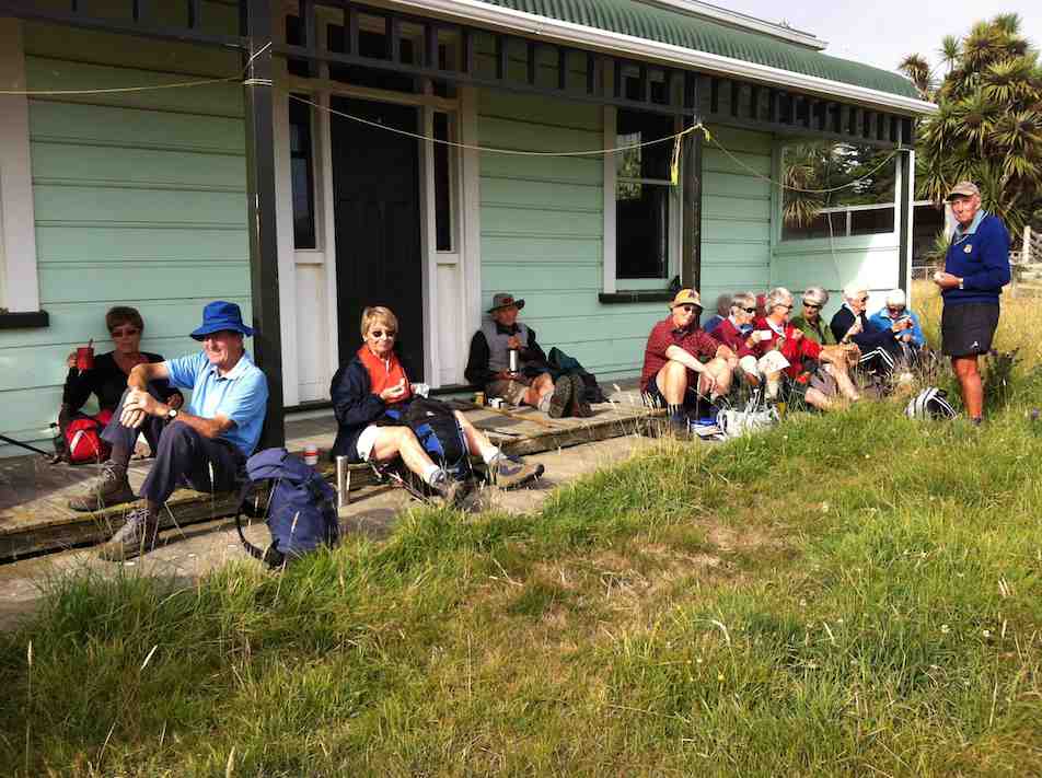
An eye- and nose-watering wind greeted us when we stepped out of our cars at Hoopers Inlet. It was not a time for hanging around so our group of 13 set off at a brisk trot and soon reached the shelter of a shed which provided a good spot for morning tea.
Fuelled by hot drinks we ventured on and found that the hills and gullies gave good protection and we could enjoy this stroll through beautiful, peaceful countryside with the only other signs of life nearby the large number of paradise ducks. Perhaps they had discovered this place to be a refuge from duck shooters. In the distance sheep grazed and black cattle eyed us with interest.
Sheltered lunch spot
We found our way down to the beach and a sheltered corner at the far end provided a comfortable lunch spot.
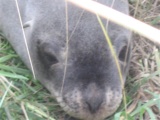
Seal among the lupins
Margaret’s sortie into the sand dunes also brought to our notice a young seal hidden away under the lupins. We retraced our steps admiring the expansive views of the inlet and the winter colours on the hills.
It had been a short walk but a very pleasant country ramble.
Chris, who knows the area well, ably led us and, before returning home, some of us were lucky enough to stop off with her at a relative’s house on the hill and walk around the interesting garden, admiring both the plants and the panoramic views. – Marjorie.
6. 27/6/2007 Leaders:

Group. Ian, Leonie, George, Tash, Pat, Hazel, Ria.
5. 1/2/2006. All. Murrays Farm, Hoopers Inlet. Leader: Chris.
4. 5/3/2003. All. Murray Farm. Leaders: Chris, Les and Margaret, Bev McI.
3. 3/7/2002. Combined. Murrays Farm. Medium. Leaders: Colleen, Chris, Claude.
2. 6/2/2002. Combined. Murray Farm, Hoopers Inlet. Medium. Leaders: Chris, Jean, Colleen.
1. 2/5/2001. Murray Farm – Hoopers Inlet Road. Easy. Leaders; Chris, Jean, Colleen.
 25. 27/03/2024. Hikers. Sandymount Grade 2.5 Leaders: Jenni and Bruce Wright
 12. 10/4/2024 Mt Charles Grade 4 Leaders: Graham and Carol Thurlow
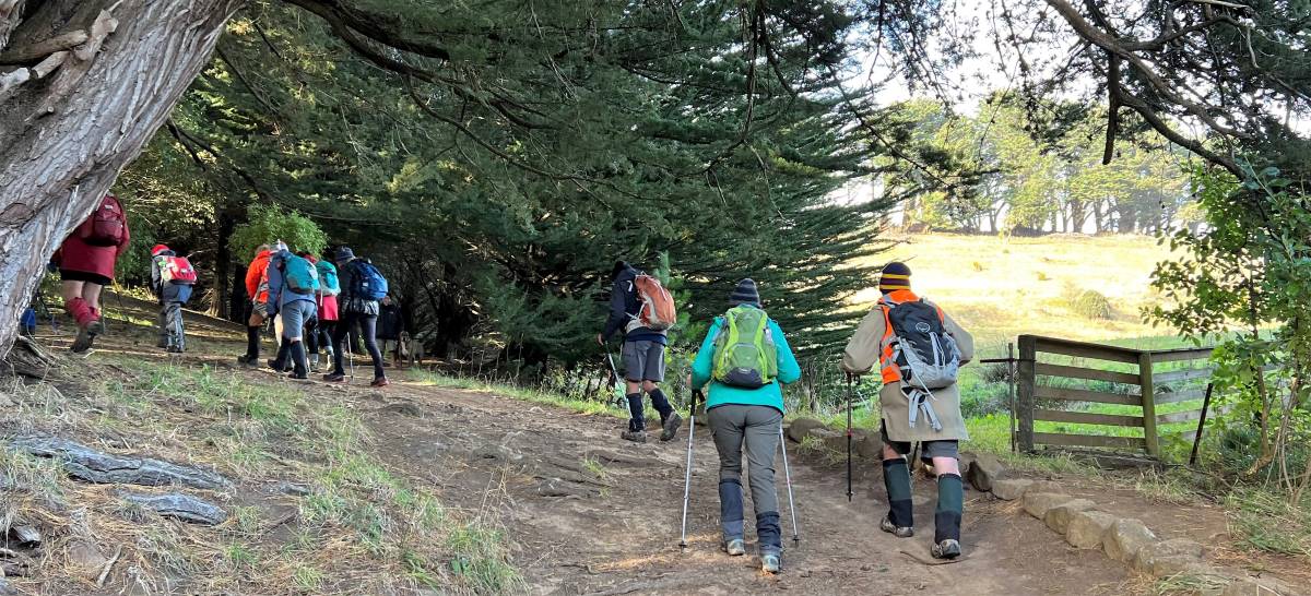
 After welcoming a new hiker, Peter Dodds, twenty-four hikers left Livingstonia Park, about 9.30 am, heading to the left (east) to the sand dune track that led out to the road by the bridge and then headed up Sawmill Road to have morning tea beside the implement shed on Alan Gorton’s farm.
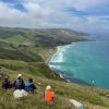 43. 06/12/2023. Trampers. North of Tomahawk. Grade 3. $7. 22km. Leaders: Esther Willis and Julie McKenzie