Oct 14 2020

Tramps associated with Saddle Hill, (Makamaka)

[No. 7 on old hardcopy list of 113 club tramps. “Creamery Rd. Ocean View. C Hughes. Farm. Lambing.”
Not during lambing September to October.
USE STILE AT END OF CREAMERY ROAD.
No. 84 on old hardcopy list of 113 club tramps. “Taieri View (Blairs) (East Taieri) Farm”
No. 104 on old hardcopy list of 113 club tramps. “Old Brighton Rd – Clevelands – Saddle Hill (See George Haggie) Farm”]


41. 14/10/2020. Trampers. Leaders: Jill Dodd and Peter Gillespie

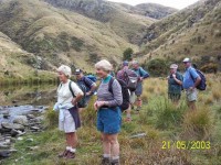
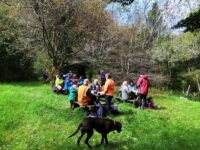
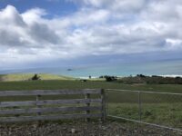
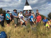
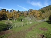
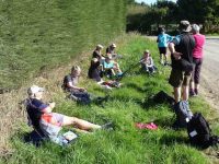
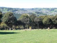
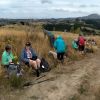
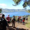
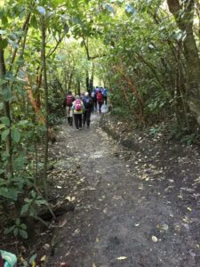
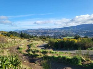
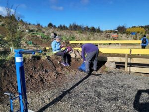
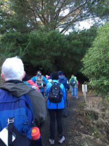
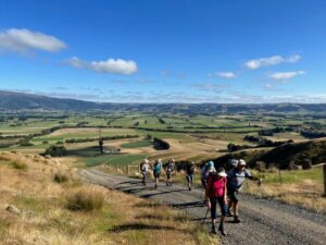
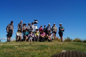
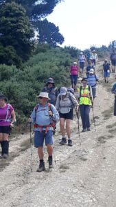
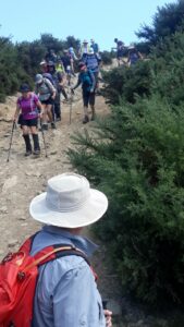
If we were to believe the weather forecast for Wednesday, some people would have been deterred by the gale force winds, rain and snow down to about 400m but no, 15 hardy trampers set off from the carpark by the bridge on Stage Coach Rd. We walked up to Saddle Hill Rd in the full force of a very strong south  west wind. Even though  we had amazing views over the Taieri plains and beyond it was hard to find a slightly sheltered spot at the lookout for morning tea . Carrying on past Jaffreys hill to Scurr road where we descended to Ronganui (place of the soul) the property of Colin Mackintosh and Marjorie Orr, who escorted us through their property .
IMG_9282res

Photo and Caption Wendy – “Colin McIntosh and Marjorie Orr”

This is a little hidden treasure. A QE11 Covenent area on the east side of Saddle Hill. There is 20 hectares of regenerating native coastal forest Totara, Rimu, Kahikatea, Miro, Matau and Kanuka.

IMG_9276res

Photo and Caption Wendy – “Natives everywhere”.

Another 20 hectares of liquorice all sorts – a collection of exotic trees – Eucalyptus species, Macrocarpa, Californian Redwood, Tasmanian Blackwood and Pinus Radiata.
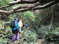
Bird song was all around us as we traversed the tracks and bridges  meandering the property. This is all maintained by the owners who are the guardians of the land.
IMG_20201014_124651res

Photo and Caption Sarah – “The walk through the bush was special.”

The previous owner had done the planting of the exotics and the little stream the Murray River named after him.(His wife was a member of our tramping club -Eleanor Watt)
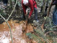
The stream was a very vivid orange colour and when Dave broke the dam!  (of a couple of sturdy branches) the water movement was quite sluggish and gel like.
IMG_9272

Photo and Caption Wendy – “Dave removing the dam.”

It is an iron ore residue from the now disused coal mines that are on the hillside .
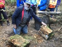
A real surprise for us all was when Colin dug into an old rotten log where he finally found a Peripatus a living ancient velvet worm like creature. These worms have been around for 500 million years and found throughout NZ.
IMG_9267

Photo and Caption Wendy  – “Finding peripatus in old logs.”


These slightly blueish insignificant small creatures with 15 pairs of legs and 2 front antennae  exist in this undisturbed environment but had created much excitement with the researchers at the museum when 1st found here. Lunch in the forest at a designated picnic area so very sheltered we were oblivious to the outside world.
IMG_20201014_121008res

Photo and Caption Sarah – “Lunch in a designated spot”.

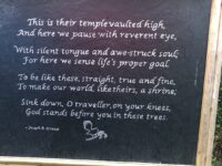
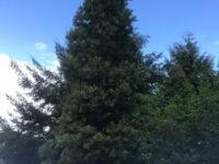
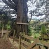
The walk concluded by reading a poem, dedicated to the greatness of trees, and looking at the 30year old kauri tree.

IMG_9278res

Photo and Caption Wendy – “The poem”.

IMG_0537res

Photo and Caption Jill – “The 30 year old kauri tree.”

IMG_9257 (1)res

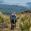
Photo and Caption Wendy – “Outstanding views!”

There was a car shuttle back to the bridge but we probably tramped about 14 kms and the rain (apart from a quick shower) stayed away till after we had our coffee and  debrief at Blend.   Only a week late from the expected visit of Judith Collins and her team and they still had cheese rolls in the cabinet!
An interesting day shared by some very passionate landowners so close to home.

40. 16/3/2019. Hikers. Saddle Hill. Leaders: Bob and Jenny.

Today was my 1st official time at being “the Tail end Charlie” with fluro jacket.
I’m often at the back but not with a fluro.. there were 21 hikers and our 3 lovely ramblers. I think I got the numbers right???
We met in a paddock in McMasters Road. I presume Bob had permission?
The hike up the Saddle was the one that the Rotary had done as a fundraiser for the Mosgiel Pool. We had morning tea at the entrance to the scrub area,after which we climbed up a stoney track.It was good workout for us all. We came out to a clearing with fabulous views of wonderful coast line. Quite a few minutes were taken to enjoy and then we carried on up to the top for a photo shoot.
Alexc

(Alex photo.)

More panoramic views were taken in before we went down the hill,out of the cool breeze, and had a leisurely lunch looking out over the Taieri. We then wandered down the hill and out onto Saddlehill Road and back to the cars. Coffee was at the Village Green. Thanks Bob. – Jenny.

39. 19/9/2018. Trampers. Saddle Hill circuit. Leader: Eleanor.

On a very warm spring morning 14 trampers set off from Quarry road and walked up Coal Stage and Saddle Hill roads then down McMaster road.  Enjoying a great display of Kowhai in full bloom, also a mix of blossom and animals along the way.  One member recalls riding horses as a girl on a property we passed.

Just the best Kowhai forest around. (Phil pic and caption.)

We enjoyed smoko break overlooking the ocean.  At this point with the sun shining brightly upon us, we decided to do an add on.

Welcome morning tea break after earlier start. (Gordon pic and caption.)

Turning onto Old Brighton road we headed to Fairfield, then crossed over to Flower street walked up the couple of hills crossing a stile into the water tank paddock.  Once again (on both sides of the rather steep stile) with more great views, lunch and chatting was enjoyed.

View of Kaikorai Valley from lunch. (Gordon pic and caption.)

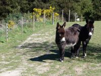
Donkeys on Chain Hill road. (Gordon pic and caption.)

We then walked along Chain Hill road and back down Quarry road to our cars.

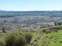
View of Mosgiel from overbridge. (Gordon pic and caption.)

Blend was the chosen coffee shop, we enjoyed catching up with 2 members unable to tramp on the day.
We reckon we walked 15 km, give or take a little.
Great to be back out with such an enthusiastic group of friends.
– Cheers Eleanore

(12/2/2017.)

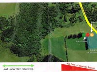
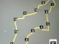
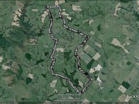
Route map

Continue Reading »

No responses yet

Jan 20 2010

Saddle Hill, Fairfield

Published by under Hikers

Chain Hills Track. 30 min. Tramping Track. Benched. Manager: DCC CAM and private land.
20/1/2010. Hikers. Overbridge, Coalstage Road, McMasters Road, Old Brighton Road, Fairfield Park, Morris Road, Overbridge. Leaders: Bev and Chris.
The Rudd Road walk you do when you are not actually doing the Rudd Road walk!!
Our esteemed leaders Bev and Chris decided that views from Rudd Road were unlikely in the misty conditions set to prevail, and that the 12 of us should walk from Saddle Hill to Fairfield and back instead.  The intention was to go from Coal Stage Rd up Chain Hills Rd and do a loop, but the general wisdom was to follow Coal Stage. When we got to Saddle Hill Rd, the Left-leaning leaders  wanted to turn that way while the majority of Tories voted to turn Right (which was actually less conservative), and so proceed up Saddle Hill Rd to McMasters Rd, where in fact we had a morning tea stop with a view.

McMasters Rd – morning tea finish line! (Bob pic and caption)

Continue Reading »

No responses yet

Jul 27 1972

Saddle Hill Hotel

Published by under Uncategorized

Saddle Hill Hotel
(9 miles from Dunedin)
Ewan McColl……..Proprietor
First class wines and spirits.
(N.B. Good stabling and paddock accommodation)
This was the advertisement in the Otago Witness in 1864.
Little is known about the early history of this hotel but it appears that Ewan M’Coll was killed in an accident when he was a young man. The next owner was James Purvis and an early photograph shows the building marked ‘James Purvis Hotel’, and on the Dunedin side there is an extension marked ‘Oats and Chaff’. There was no balcony or iron work but three sash windows upstairs and two windows and a centre door at ground level. Behind the hotel the large hump of Saddle Hill can be seen, with bush right down to the present Saddle Hill road.
By 1851 the route round Saddle Hill had been established as the main road to the south and by 1859 it was metalled as far as Taieri Ferry. On 12 January 1961 James McIntosh, Otago’s pioneer coachman set out from Dunedin to drive the mail coach for the first time as far as the Clutha Ferry.
Saddle Hill and Lookout Point were two of the trouble spots on the south road. Passengers had to walk up Saddle Hill and to steady the coach for the downward journey, a skid, fastened to a chain, was placed  under the back wheel.
A passenger commenting on early coaching days writes ‘How Carmichael managed to get his four horse team safely round the exposed places on Lookout Point and Saddle Hill I cannot tell. I turned my head or shut my eyes while he, standing up with the whip and voice, urged them past danger.’
In the early days there was a small settlement further down the hill called The Junction where the road branches off across the Plain. Here in 1869 Sydney Turnbull opened a store and bakery and in his large brick ovens he continued to make bread for several years to supply his second store at the corner of Bush and Gordon Roads. There was a blacksmith, wheelwright and saddler and also Steadman’s Hotel which was a stopping place for coaches. Near here was the toll-house which for some years was in the charge of ‘Cheekie” McKenzie, who had an iron hook over an injured hand.
Mr R W Stevenson whose great grandfather Robert Stevenson came out in the Philip Laing has lived in the former Saddle Hill Hotel with his family since 1957. He has made it more comfortable inside and where he raised the back about three feet to brighten the kitchen he has matched the timber carefully with the skill of a craftsman. He is proud of his old hotel but although he has had all the materials for some time to repaint it he has been unable to do so. – “More Taieri Buildings” 1972 by Daphne Lemon.

No responses yet

Apr 13 2024

Chain Hills-Friends Hill Tramps

Published by under Hikers

No. 102 on old hardcopy list of 113 club tramps. “Friends Hill Chain Hills Year Round”. Background information on Saddle Hill Hotel


Img20240410112925 Thumbnail147. 10/04/2024 Highland Park to Friends Hill.  Grade 2.5. Leaders: Margaret Maxwell/Kay Seddon.

With nervous trepidation, Kay and I met at Peter Johnson Park to meet all you gorgeous hikers. We thought there would be about 8-16 willing participants.


Continue Reading »

No responses yet

Mar 24 2024

Harbour Cone, Broad Bay, Turnbulls Bay, Bacon Street, Peggys Hill, Broad Bay

Published by under Trampers and tagged:

No. 49 on old hardcopy list of 113 club tramps. “Harbour Cone, Peggy Hill Larnach Castle – Farm”. Location: 32 km.
Broad Bay Future Forest – background information.
Trampers park cars at Broad Bay. DCC Public Land; Hikers park at top of Bacon Street.

Start Track Square20. 20/03/2024. Hikers. Broad Bay Future Forest (New Hike), Grade 2.5.  30 km. Leaders: Jenny Flack, Vivienne Manning.

Twenty hikers gathered at the end of Bacon St for this new walk. Continue Reading »

No responses yet

Nov 22 2023

Leith Saddle, Swampy Spur, Transmitter Tower. Also Rustlers and Burns Tracks

Published by under Both Hikers & Trampers

Information
Click Swampy ridge track for background information.
See also: Leith Saddle and Morrison Tracks
Leith Saddle, Waitati Valley Road, Sawmill Track, Swampy Ridge, Burns Track
Click boardwalk history for account about the original Leith Saddle Track  and the establishment of the boardwalk in 1993.
For our Club’s part in the boardwalk venture see boardwalk for an ODT account of its construction.
See also TRTC Jack Merrilees (who died January 2015)

Cars park off motorway at Leith Saddle yard (alternatively down side road at bridge (restricted space). 25 km from car park.
Walk across side road to track.
Gravelled track 1.5 km. (morning tea on lookout seats a little further on)
Transmitter Tower 2 hours.
Going further: along road past doppler radar to DoC sign.
Right along Rustlers Ridge track to junction with Burns Track.
Through junction and up and round hill on Rustlers Ridge Track. (Lunch on hill)
Down ridge to pipeline. (Alternatively turn right at junction for Burns and down to pipeline)
Turn right along pipeline.
5.5 hours in all.
Burns – Rustlers circuit Maintained by Green Hut Track Group. DCC land.


Img 7887 Res 10035. 22/11/2023. Trampers. Burns/Rustlers Ridge. Grade 4. 25km. Leaders: Phil Morris/Carolyn Pridham.

On an overcast muggy day, 20 Trampers headed to Leith Saddle. We set off down Leith Valley road, and left up Burns Track entrance onto Pipeline Track Continue Reading »

No responses yet

Nov 17 2023

Signal Hill tramps

Published by under Trampers,Year round

Distance Chingford from carpark: 20 km.
Follow Old Main North Road to Cleghorn Street which has the best view of the harbour. Walkway sign.
Walk starts starts at the gate on right, up McGregors Hill. Beyond stile Pine plantation on 3rd stile at summit.
Gravel road 10 minutes to end. Locked gate. Last stile. Signal Hill road.

15 Nov Signal Hill Harbour View With Hikers. Square Small Janette19. 15/11/2023. Hikers. Cleghorn Street to Signal Hill. Leaders Pam Clough and Jay Devlin

23 keen hikers gathered on a beautiful day at the Bottom of Cleghorn St where we made our way up the gravel road to the beginning of our walk which was firstly over farmland. Continue Reading »

No responses yet

Nov 12 2023

Portobello, Clarks, Sheppards, McArthny, Varleys Hills

Published by under Trampers

Distance Portobello from car-park: 32 km.

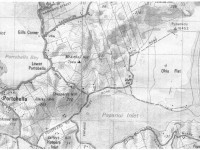
Map of area


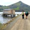
Img20231108124710 Square Res100x10013. 8/11/2023. Hikers. Varleys Hill-Hereweka Track. Grade 2.5. $9. 32km. Leaders: Jan Butcher/Jenny Finnerty

22 hikers set off on a cloudy morning for the Portobello Community carpark. Continue Reading »

3 responses so far

Jul 26 2023

Signal Hill Centennial Memorial, Ravensbourne, Big Easy

Published by under Both Hikers & Trampers

18 km from car-park to Logan Park or Marina.


24. 26/07/2023. Big Easy. Hikers. Grade 2.5, $5, 19km, Leaders: Pam Clough, Jay Devlin.

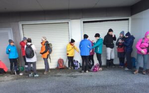
23 enthusiastic Hikers parked opposite the old Ravie Pub in very cold windy conditions as we started our walk to the Otago Yacht Club, where we took shelter for morning tea.

Alex

Taking shelter – Photo Alex

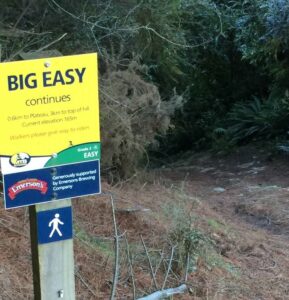
We then made our way past the stadium then down Butts Road to the beginning of the Big Easy Track behind Logan Park High School.

Alex Griffin 1

At the start of the Big Easy Track – Photo Alex

Alex Griffin 2

Photo Alex

The track is a zigzag gentle climb for 3.6ks to the Plateau where we stopped for lunch in very cold windy conditions so needless to say we didn’t linger too long to enjoy the lovely views of Dunedin.

Dunedin City from Big Easy - Photo & Caption Michael Webb

Dunedin City from Big Easy – Photo & Caption Michael Webb

Jay organising afternoon coffee - Photo & Caption Michael Webb

Jay organising afternoon coffee – Photo & Caption Michael Webb

After lunch we followed the track and various steep streets back to Ravensbourne 11.3kms all up.

Alex Griffin

Photo Alex

Coffee was at Sunnyvale where we enjoyed a roaring fire.

Leaders were Pam and Jay.

Continue Reading »

One response so far

Jan 28 2023

Wallaces Farm on Hope Hill

Published by under Trampers

Distance from car-park: 17 km.


14. 25/1/2023. Trampers. Hope Hill. Grade 4 Leaders: Diane and Marijke
‘Hope Hill’ is a working farm located just south of Allanton. The owners over the years have given the TRTC permission to undertake tramps through their unique property. We parked in a paddock off the State Highway. The morning was clear and warm and 16 trampers were keen to get underway. Ahead of us was a winding farm track up to the top of the hill.  With a few stops along the way to appreciate the views of the Taieri Plain we reached our morning tea stop in around 45 minutes.
A steady climb to admire views over the Taieri Plains Caption and photo Pam

A steady climb to admire views over the Taieri Plains Caption and photo Pam

After morning tea we continued on the farm track for a bit more time and then we turned left and walked on grassy pasture toward the sea.

Panorama- First glimpse of the Pacific Ocean. Caption and photo John

Panorama- First glimpse of the Pacific Ocean. Caption and photo John

The interesting eastern view was unfolding for us and when we made our way up to a trig station we could see it all – Saddle Hill, Blackhead, Taieri Mouth, peninsulas beyond and forestry to the south.

Group photo using a timer CAption and photo John

Group photo using a timer Caption and photo John

After leaving the trig station we continued walking through the picturesque landscape with the ocean in the background. However, we had to leave this gentle part of the farm and tackle a steep downhill track that eventually led us to a large flat paddock. We followed sheep tracks through the paddock and eventually got to McLaren Gully Road. We turned right and had about 1.5kms to walk on the narrow, dusty gravel road. The road is used extensively by logging trucks. We were thankful that Lyn (one of our trampers) had contacted the haulage company and explained we would be on the road about midday, and they alerted their drivers to take extra care. We managed the road walk without incident. After passing wooded areas and an interesting old house the Hope Hill paddocks came back into view. We turned off the road and into the paddock at the earliest opportunity.

This side of the farm was drier and hotter and so it got a bit tougher for us. Our view now was the Taieri Plan, Dunedin Airport and surrounds.

Panorama - Allanton to the right. Caption and photo John

Panorama – Allanton to the right. Caption and photo John

Our aim was to reach the two prominent cell phone towers near the top of a ridge and have our lunch. However, there was a steep climb for us to reach the towers so needless to say we enjoyed our lunch break when it came.

After lunch we continued climbing but on a gentler slope and then traversed several paddocks back to the farm track we had come up in the morning. We descended the farm track back to our cars.

It's all downhill from here. Caption and photo Neil

It’s all downhill from here. Caption and photo Neil

More downhill Caption and photo Neil

More downhill Caption and photo Neil

And we're still going down Caption and photo Neil

And we’re still going down Caption and photo Neil

We walked around 14 kilometres and were all pleased to finish around 2.30pm as the day was getting hot and windy.

Thank you to Neil for all his work with helping us through fences and opening and closing gates.

Crossing fences has it's challenges. Caption and photo John

Crossing fences has it’s challenges. Caption and photo John

Thank you also to Lyn for coming with us on the recce and helping us on the day.


Continue Reading »

One response so far

Oct 26 2022

Leishmans, Chalkies and/or Boulder Hill.

Published by under Trampers

No. 68 on old hardcopy list of 113 club tramps. “Leishmans Falls – (J Roy) Summer”


15. 26/10/2022. Trampers. Chalkies Circuit. Grade 3. Leaders: Esther Willis & Karen McInnes

Ten trampers walked back along the road from the Whare Flat pump house carpark, past the Waiora Scout camp, and to the beginning of our tramp about half a Km away.

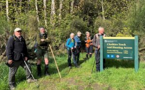
Group at sign for Chalkies Track

Keen to start on the Chalkies track. (photo and caption Pam)

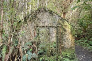
We started on Leishmans track and passed by the remains of the hut and weir that were once part of a Mosgiel water scheme.

Ruins of old building overtaken by vegetation

The old pump house. (photo and caption Pam)

The track progresses up through bush consisting of lots of fuchsia. Our upper body strength was tested at the rock face which thankfully has a knotted rope to aid our ascent.

Trampers climbing rock on track

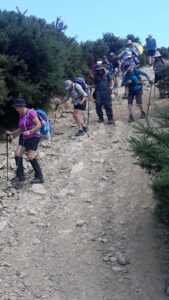
Gwenda climbing the cliff face with the aid of a rope. (photo and caption Pam)

Trampers climbing rock on track

Phil looks keen! (photo and caption John)

Tramper climbing rope section of track.

Almost at the top Jill. (photo and caption Pam)

The track winds uphill steadily and steeply in places, and the bush changes to manuka and kanuka. Morning tea was an unhurried rest sitting on the side of the track.

Trampers sitting beside track

Morning Tea on the track. (photo and caption John)

It was still and humid in the bush so layers were shed. Further on there were good views to be had over North Taieri, Saddle Hill and out to the coast.

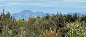
Saddle Hill viewed beyond trees (photo and caption Pam)

Looking back over to Saddle Hill from The Chalkies. (photo and caption Pam)

We continued upwards and into the boggy area which had dried out a bit since our recce. We emerged onto a grassy lane between Larch and Douglas Fir then branched off to the tussock area at the top of Powder Hill where we stopped for photos at the old trig.

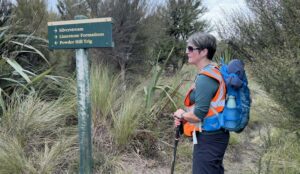
Tramper and track sign.

“This way team.” (photo and caption Pam)

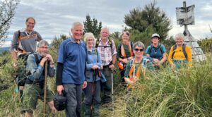
Group of trampers and trig marker.

Happy Trampers at Powder Hill Trig. (photo and caption Pam)

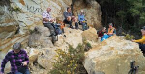
We carried on to the Chalkies limestone formations for an early lunch. The cliffs have crumbled in places and unfortunately have been visited by taggers.

Trampers sitting amongst limestone boulders

Lunch at “Chalkie Rocks”. (photo and caption John)

As we lunched, the temperature dropped a few degrees, and wary of the forecast rain arriving, we headed downhill. It’s a steady descent and steep in places. There were lots of patches of native clematis on the hillside opposite. We joined the private road at the bottom of the track and continued on down to the ford where our boots got a bit of a clean in the water.

At about 7.5km and climbing to an elevation of 525m, it’s not a long tramp but it’s a good workout out for the lungs and legs. We were lucky to have avoided the rain. Refreshments and debrief at Blackstone Cafe.
Karen


Continue Reading »

No responses yet

Nov 29 2017

Lamb Hill, Orbells Cave & Fiddlers Hut; ABC Cave & The Gap

Published by under Farm,Trampers

No. 10 on old hardcopy list of 113 club tramps. “Lamb Hill to 3 o’clock creek. Farm. Lambing.”
Farm walk. Lamb Hill Station, Hindon Road, Hindon. Seek permission. Check at house before you do any tramping.
Lamb Hill: 43 km from car-park.
Bendoran: 75 km from car-park.


8. 29/11/2017. Trampers. Bendoran over-night, Orbells Cave. H. Leader: Art.
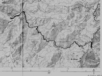
Route Map, Bendoran to Orbells Cave/3 O’Clock Creek/Fiddlers Hut, courtesy Art.

This tramp was a First Time for our club.
Two cars(six trampers) left Mosgiel at 8.00 a.m. rendezvousing at Cherry Farm before travelling together to reach the Bendoran Huts at 9.30. Morning tea was taken, and five eager trampers set out just after 10 am on the day’s adventure. One stayed in camp to heat water for showers later.
The day was sunny and warm enough. High cloud drifted across after an hour, but it remained hot. We stopped several times to take on water – and we were going downhill!
We descended down to Orbells Creek, and followed it for some distance, being on a grassy 4WD track all day. Tussocky hills surrounded us, with many interesting rocks, such beautiful country.
A mob of grand Hereford cows with calves (beef) moved in front of us for a time, before going up a side gully.
Eventually we came to the first ascent of the day, leaving Orbells Creek for a time, the 4WD track going up and over a saddle. At the top we had a short descent and then a climb up to a second saddle.
But from here it was downhill all the way to the cave. We met Barney, the Bendoran Farm Manager, out with his dogs shifting a mob of cows and calves – black with white faces this time (Angus Hereford Cross).
We came back to Orbells Creek by the cattleyards, crossed over, and in a few minutes were at Orbells Cave (with Orbells Garden flourishing in profusion in front (foxgloves). It had been hot work, but to our great relief found that it was very pleasantly cool in the cave. The time was 12.20 pm. We sat and rested for half an hour here, while eating our lunch.
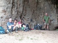
In the cave for a cool place to have lunch. (Helen pic and caption.)

 Fiddlers Hut was our next objective, about 2 km further on. Was we left, bird calls from high above the cave alerted us to the presence of a N.Z. falcon circling there. We saw it – or another one –  later in the day, too. Crossing 3 O’Clock Stream, we arrived at Fiddlers Hut at 1.3. We admired the stone walls, very neatly constructed, and with a vey sound modern corrugated iron roof.
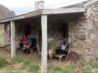
Fiddler’s hut. (Helen pic and caption.)

But sadly the interior had been badly neglected, birds obviously had been the only tenants for some years past.

As we began the homeward journey, a light and very pleasantly cool north-east breeze arrived to provide some relief, especially helpful on the uphill bits. Five tiny little Paradise duckings were on the water when we crossed back over 3 O’Clock Stream. All water bottles were refilled.
The same route was followed going back as we had travelled out earlier. It was a long climb back up to the two saddles. At the top of the first one, 10 minutes was well spent in resting, while taking on water, eating fruit, etc.
In time we came back down to Orbells Creek, and walked, the kilometres behind us, with an occasional brief stop (water).

One long hill awaited us – the climb out from Orbells Creek. The hill seemed to go on forever, but by putting one foot in front of the other, we found the top. But our legs were mighty tired now, and there was only a few hundred metres left to go. And so we arrived back at the Bendoran Hilton …
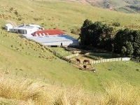
View of Bendoran huts. (Helen pic and caption.)

… just before 5 p.m. A good list down and rest seemed to be the logical thing to do now, so that’s what we did!

All five had thoroughly enjoyed the day. An energetic tramp to equal any other that our club has done. VERY SATISFYING.

Total distance was 20 km. Orbells Cave was approx. 8 km from Bendoran, and Fiddlers Hut a further 2 km beyond. Bendoral Huts are at an altitude of 500 metres, Fiddlers Hut about 200 metres. – Art.
On completing the tramp we had a lovely muffin and cup of tea before showers and liquid refreshments. Fire lovingly looked after by camp mum Jennifer. Eleanor our great organiser had Also arrived by this time.
Tea was prepared consisting of silverside, stuffed chicken, new potatoes, carrots and two salads. Dessert: chocolate brownie berries and yogert. All had bought some part of it.
Jill Arthur Phil Wyn and Helen the walkers.
It helped revive us. – Helen
75 km from car-park.

11. 8/3/2017. Trampers. The Gap, and ABC Caves. M. Leaders: Arthur and Eleanor.

After a one and a half hour drive from Mosgiel, we arrived at Bendoran Huts.  David Malloch the station owner arrived to welcome us and give us a brief history of the 5000 acre property.
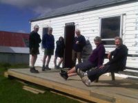
Us with David Malloch. (Helen pic and caption.)

After unpacking and eating lunch, we walked in a cool s.w. wind, overcast with a few skiffs of showers to Mount Misery @ 714 metres.

Eleanor on Mt Misery. (Arthur pic and caption.)

A great view for those brave enough to tackle the wind on such a rocky peak.  From there we ventured onto “Terry’s Knob” (refer Hamel’s book page 7:13), …
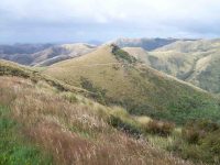
Terrys Knob. (Arthur pic and caption.)

… before returning to Bendoran for drinks and muffins.  After lighting up the coal range to heat the water and apple crumble, we then enjoyed home baked Chicken, vege’s and salad.  Next job was firing up the open fire, sitting round chatting for the evening.

Before 8.30am next morning we were up and away tramping in ideal conditions for 3 hours to the “Gap” @ 670 metres.

The Gap from morning tea stop. (Arthur pic and caption.)

After numerous photo shots of surrounding valleys, peaks, ranges and the trig,  we then headed down onto a new track, where after a lunch stop, we approached the A.B.C. Caves.
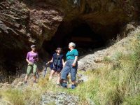
Helen Janine & Eleanor at abc caves. (Arthur pic and caption.)

After a challenging tramp, we were impressed by the cave interior, …
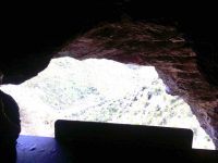
From in ABC cave. (Helen pic and caption.)

… but were disappointed the “visitors book” left no room for our claims to reaching this  monumental milestone!   We then had to return steeply uphill a little before bush-bashing a track across a gully to join back onto our original track, leading us back to our cosy “Bendoran home”.
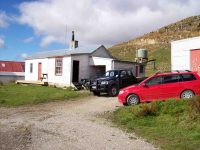
Bendoran where we stayed. (Arthur pic and caption.)

Arriving back @ 4.15pm, we found 2 members (who returned without going to A.B.C. Cave) had the coal range going with the kettle boiling for drinks and a HOT shower!!  All fresh and clean again, we dined …
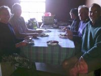
Dinner. (Helen pic and caption.)

… in front of the open fire on beef casserole, new potatoes, peas and salad, followed by brownie and peaches—-not your average tramping food, and certainly above standard accomodation.

It was an exceptional tramping trip for Arthur, Neil, Carol, Helen, Janine and Eleanore, with new tracks and experiences for some of the party. – Janine and Eleanor.

10. 25/3/2015. Trampers. ABC Cave from Bendoran Huts.

On a day when the weather was a bit suspect, we arrived at the Bendoran Huts to see fog in the valleys, but clear around the tops. Because of the distance travelled to get there, we decided to have a late morning tea break,…
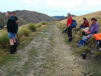
Late morning tea stop. (Ken pic and caption)

Late morning tea stop. (Ken pic and caption)

…at one of the high points on the track. After this, we walked around the road [farm track] to a point at the head of the valley leading to ABC cave, where we arrived for a late lunch in sunshine.
After lunch we more or less retraced our steps back to the cars, with a couple of refreshment stops on the way.
The day turned out ideal for tramping, with just a trace of breeze at times, a little bit of sunshine for lunch, & the temperature just right, & the fog actually lifted during the day.
Next time we do this, it would be a good idea to start early, as it’s a long way to drive, & the road in is all narrow gravel. – Ken.

9. 8/5/2013 Trampers. ABC Cave from Bendoran Huts.
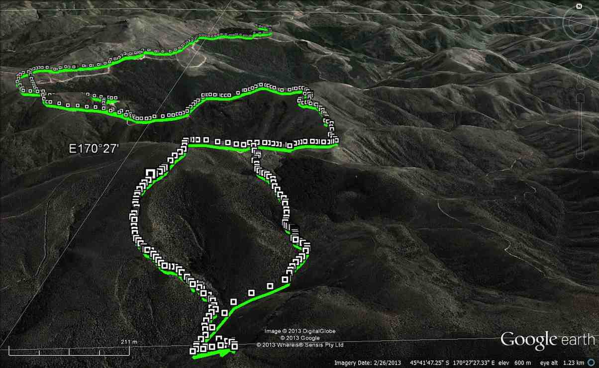
GPS of route, courtesy Ken. We walked 13.6km, 4hrs moving, 2hrs stopped, total ascent 839mtrs, max elevation 701mtrs.

There have been MANY new tracks bulldozed in around the area, making it very difficult to know which track to take. The original idea was to go to the Gap, & then down to the ABC cave, but we were running out of time, due to the distance travelling there, getting held up for about 1/4 hr by a very large mob of sheep with no sign of humans or dogs anywhere. Plus as we didn’t know where to go, we ended up bush-bashing our way down a ridge on the top side of the bush, as you can see by the Google pic. We eventually got down to the DOC track leading between the GAP & ABC, so just carried on to ABC, had a quick drink/snack, & left there at just on 2pm. Then we struggled up another ridge that was a lot clearer than the one we had came down, but it was steep, & it took us an hour to reach the top. From there, it was a relatively easy walk back to the 4wd track that we had left to go down past the bush. One or two of the climbs on the track back to the car were certainly a bit ‘trying’, but we all made it back to the cars OK, & after the drive back to town, got home at just after 6pm.

George didn’t go down the ridge to the cave, so he sheltered for a while, then wandered back to the cars, leaving suitable signs that he had passed that way. There were 7 of us in the group, one of whom was heard to say on the way in, “you think this group is a serious walking group?” so by the end of the day when I asked if they still didn’t think we were a serious walking group, the answer was ” that was a serious walk”. – Ken.

8. 22/2/2010. Trampers. ABC Cave from Bendoran Huts.
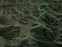
GPS of route, courtesy Ken.

It had been many years since any of us had done this tramp, and memories were hazy. So much so, that we parked the cars at the end of Blucher Road, mistaking the shearing shed location there for the actual Bendoran Huts site about six kms further on. So we walked the farm 4WD route to the huts, instead of driving it!
 

A hut ruin on the route. The fog was round us all the way. But it was dry! A fog, not a mist, as one of us distinguished.
An pic of interest on the way.
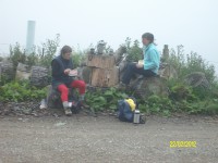
Lunch across from one of the Bendoran huts. (Ken pic)
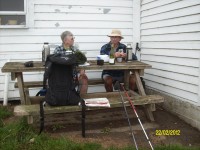
Lunch in lee of the hut. (Ken pic)

We walked on beyond the huts on the track we should have originally started on, for a further km, but there was nothing to be seen through the fog which accompanied us all the way, except for only one brief respite. We then retraced our steps to the cars. About 14 km walked that day. – Ian
7. 30/1/2013 Trampers. Lamb Hill to three o’clock creek. Old Stone Hut. Orbells Cave. Medium+.
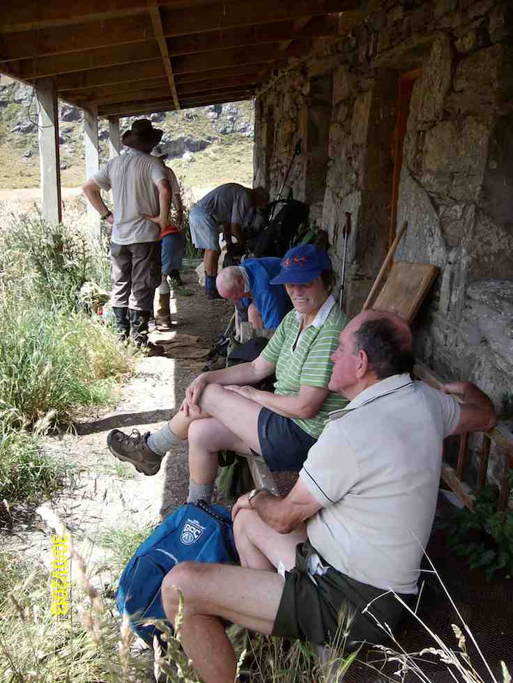
Lunch at the old hut.

Lunch at the old hut.

Orbells Cave from the track.
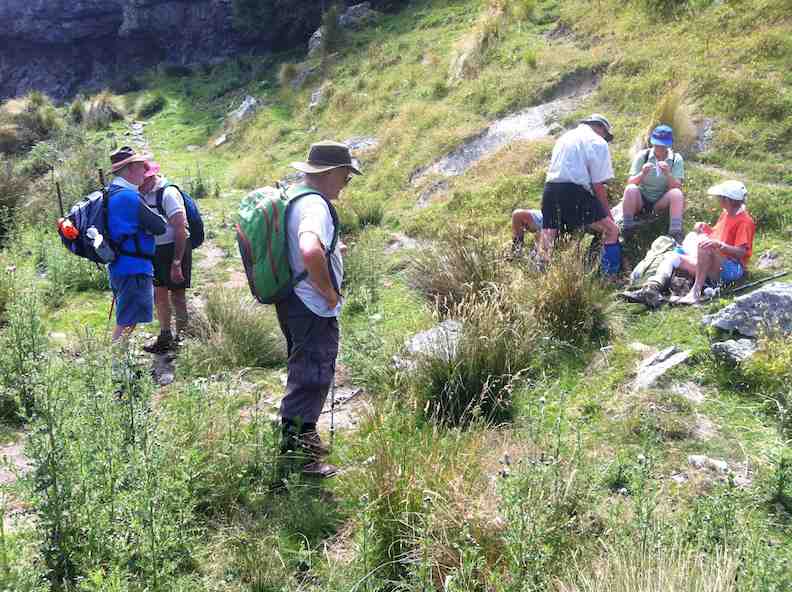
Orbells Cave from the track.

Running repairs before we start the real climb back out

Running repairs before we start the real climb back out

6. 19/1/2011. Trampers. Lamb Hill to three o’clock creek. Old Stone Hut. Orbells Cave. Medium+.
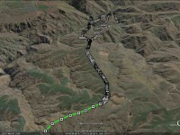
Small scale GPS of route, courtesy Ken.

If you look closly at the small scale pic, you can see the shed at the Nth. end of the airstrip, right at the bottom of the pic where the track starts. As you can see from the spacing of the GPS squares, we were still driving for a while till the squares become very close together. this is where we started to walk from. You can also see the track going off to the left of the airstrip at it’s south end, going down to the ford where the track peters out, & then starts again on the other side. That is where the 2003 tramp went (see below).
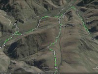
Large scale GPS map of route, courtesy Ken.

The large scale pic shows the decent via the wrong ridge, we should’ve been one over to the right. Anyway, we ended up just a short distance from Orbells creek, so walked into that valley, & up to Orbells caves which is the track on the RH side of the pic.
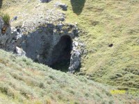
Cute cave we found on the way down to Three O’clock Stream. (Ken pic)
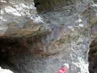
Orbells Caves. (Ken pic)
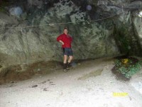
Dermot in the obviously lived-in cave. (Ken pic)

We then retraced our steps back to Three O’clock Stream, and went downstream to a crossing, where Dermot and I went to the old hut to have lunch (which is the track on the left side of the stream in the GPS pic).
Hut on the other side of Three O’clock Stream. (Ken pic)
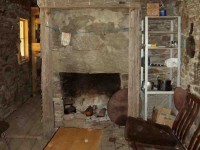
Relaxation area of the hut. (Ken pic)

Then after walking across the river flats, we struggled up the very steep hills back to the cars.
The weather was fine, but VERY windy, and I nearly lost my footing a couple of times coming back up the steepest parts. BTW, the hut is not on Lambhill Station, it’s on the neighbours property.
Everybody did very well, including George, who didn’t go to the caves, along with Hazel. They just went over to the hut to have lunch there.
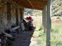
Hazel packing prior to leaving. (Ken pic)

George got a dose of cramp on the way back up the hills, but managed to overcome it ok, and carry on. – Ken.
5. 21/5/2006 Lamb Hill to three o’clock creek. Old Stone Hut. Orbells Cave. Medium+.Leaders: George, Keith, Glenice, Hazel
4. 21/5/2003. Both. Lamb Hill to Three O.clock Creek. Medium. Leaders: Wendy B, Bob H, Nancy & Molly
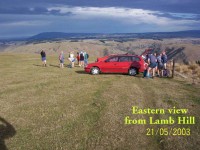
View when we first arrived.
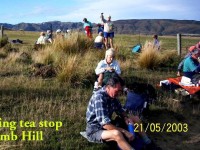
View when we first arrived.

Morning tea break.
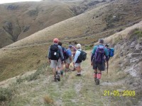
Morning tea break.

Descent to creek
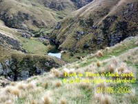
Three O'clock Creek

Three O’clock Creek

At creek ford.
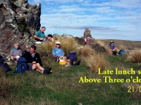
Lunch at top of climb.

Lunch at top of climb. Pat, Lex, Doug J, Evelyn, Doug M, Bob, Arthur.

3. 17/5/2000 Lamb Hill, Three O’Clock Creek. Leaders: Wendy, Colleen, George
2. 15/4/1998. 3 O’Clock Creek, Lamb Hill. Leaders: Nancy, Wendy B
1. 8/11/1989 Lamb Hill to Three O’Clock Creek and old stone hut. Harder grade. George, Mary M, Molly, Catherine
No responses yet

Jun 04 2014

Fort Hill, Barnes and Circle Hill Roads, Milburn.

Published by under Farm,Hikers,Trampers

No. 90 on old hardcopy list of 113 club tramps. “Round Hill – Milburn (George) Farm”

42 km from car park.

2/6/2014 Both. Fort Hill, Barnes and Circle Hill Roads, Milburn. Moderate. Leaders: Ian, Ken
GPS

iPhone GPS of route. Shows shorter than actual because I forgot to turn it on until after the first half km! See also Ken’s GPS for his 2010 route map.

Twenty-six turned out for a sunny first tramp for the winter, on back country roads amongst lovely rolling hill farms to the west of Milburn.
Morning Tea

Morning Tea at the Finch Road turnoff from Circle Hill Road. (Heb pic)

We lunched where Fort Hill Road ended at a T-junction with Barnes Road, which stretched left to meet Circle Hill Road, and right to form to form a larger route to also turn down Circle Hill Road at its end where both these roads joined to form Douglas Road.
Lunch. Panorama pic.

Panorama pic. (The black bit at pic bottom results from my inexpert handing of my panoramic app.) Lunch. Here, Barnes Road goes ahead (in the pic) for the shortcut route and to the right for the longer route.

Ken supplied this report regarding this spot. Thanks Ken. : “The people that did the longer walk, covered 15.2km; Moving time  3hrs 9min; We climbed 374mtrs. I guess the ones that took the shortcut walked about 11km.
I base this on the time taken for us to walk around the longer loop, & the ave speed was 4.8km/hr, & it took us nearly an hour to walk around the loop.”

As said before, the day was sunny and calm, and each ample time to make the climbing bits at bits own pace.

Just a personal thought for road walks. With the growing practice of wearing, and of availability of high-viz vests, a good idea would be for more than just the leaders to be wearing them.

And lastly. What is becoming the customary coffee stop was enjoyed this time at Waihola’s Black Swan. – Ian.

1/9/2010 Both. Fort Hill, Barnes and Circle Hill Roads, Milburn. Moderate. Leaders: Ian, Ken

GPS of route. The short-cut can be readily picked out. (Courtesy, Ken).

Continue Reading »

One response so far

Nov 09 2011

Nicols Creek, Swampy Saddle, Davies Track

Published by under Trampers,Year round

Click Dunedin’s Hills’ History for background information.
Click Swampy ridge track for background information.
Click Pineapple Track for background information.
Click Pineapple and Flagstaff walk for background information.
No. 17 on old hardcopy list of 113 club tramps. “Nicols Creek. D McCabe. Year Round”
 Year round.
Nicols Creek circuit Maintained by Green Hut Track Group.
DCC  land.


9/11/2011. Trampers. Booth Road, Davies (formerly Warburton), Swampy Saddle, Nicols Creek.
Nine of us met at Booth Road. We entered Davies Track via McGoun this time, exiting it on the left a short way up past the cairn. A light shower came on during the bush section, sounding quite pleasant as it struck the leaves overhead. Out in the tussock at the top, the weather was clear again. Ria and Hazel had discovered a new track had been made above the bush, this time striking to the left instead of the one to the left, the one that got several of us lost last time where overgrowth had rendered a crucial turn invisible.
We emerged on the Flagstaff walkway above a rock outcrop and headed down to the top of the Pineapple. Here Gay, a visitor, left us and we continued along Swampy Ridge to the top of the Nicols/Moonlight track. A little way in and we found the track has been ruined by mountain bike wheels cutting a narrow deep groove down the track middle, making keeping our footing on the restricted track-sides difficult and dangerous. Further down, we kept to the Moonlight side of Nicols Creek and traced, where we could, the original track, bisected however by the zigzags of the mountain bike route. Rain now really set in and we sheltered in nearby bush for lunch. We then continued down the old track, through the macrocarpas, the stone outcrop and yet further carefully down to emerge at the creek crossing below the waterfall – to Ian’s delight but Ria’s chagrin who had hoped to emerge onto the Leith Valley road on the north side instead of now forced across to the other side. So it was down and out and up Islay St back to the cars. All felt it had been another good day out. Too dull and showery for photo opportunities however. – Ian.
14/11/2007. Trampers. Woodhaugh, Ross Creek, Davies, Pineapple, Ross Creek return. Moderate. Leaders: Ria, Hazel.
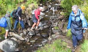
Stream crossing. Doug, George, Peter, Wendy

Stream crossing. Doug, George, Peter, Wendy

The route Ria and Hazel took ten of us on provided plenty of variety both in scenery and weather. We approached Davies track by way of Ross Creek Reservoir from Woodhaugh. After Ross Creek it was through cleared forest before climbing through secondary growth …

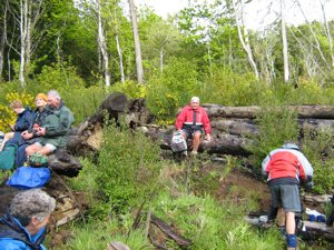
Tea break. Wendy, Keith, George, Doug, Peter, Glenice

Tea break. Wendy, Keith, George, Doug, Peter, Glenice

… on the foothill slopes of Flagstaff before entering beautiful native forest and and hour later emerging on Flagstaff’s tussock and flax with overcast views of the harbour and Dunedin both north and south. We had encountered occasional showers to this point and now out on the tussock it was turning really cold. We were still not prepared upon reaching the upper Pineapple-Flagstaff track …

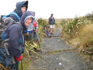
Made it onto Pineapple. Ria, Sabina, Glenice, George, Keith

Made it onto Pineapple. Ria, Sabina, Glenice, George, Keith

… to be pelted by a fierce but fortunately brief hail storm. We quickly made our way down to the junction with the Swampy Ridge track where now the hail had now been …

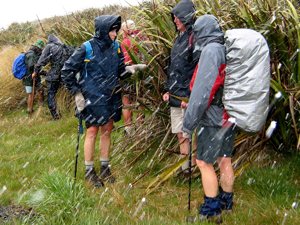
Snow. Doug, George, Sabina, Keith, Glenice

Snow. Doug, George, Sabina, Keith, Glenice

… replaced with snow. So it was down, down the Pineapple to the sheltered edge of the bush where we lunched in the now fitful sunshine. Then the bush, Booth Road, back through Ross Creek tracks and down past the reservoir until the last scenic bush gave way to Woodhaugh St and back to the cars. An interesting day. – Ian

In Leith Valley, where Otago’s first industry – sawmilling – is reputed to have started about the 1860s, is the start of the old Pineapple Track.
Originally, it was named Ross Track, after Archibald Hilson Ross, who owned most of the land in the vicinity. In the early 1920s, Mr Oscar Balk, first president of the Otago Tramping Club, led parties of trampers up this route. At the top of a rather steep section, the parties would stop to rest and often refresh themselves with a tin of pineapple. This tin was sometimes left hanging on a tree or fence, and the track came to be called the Pineapple Track.
The line of the Pineapple Walkway has deviated from the original track in places to provide more scenic variation.
The original vegetation of the area has been modified as a result of early milling, burning and stock grazing, but remnants of the milled species (podocarps) still remain. Rimu, miro, totara and matai are found in isolated pockets, mainly in damp gullies. Even so, the overall distribution of plant species retains some semblance of natural order with the larger forest trees growing at lower altitudes. Podocarp broad-leaved forest type occurs with shrub species which grade out into Dracophyllum shrub land and ultimately tussock grassland communities on the summit area.
Some common plants: fuchsia, pepper tree, lemonwood, broadleaf, totara, five’finger, wineberry, lancewood, Muehlenbeckia, Dracophyllum, Coprosma, Hebe, and wild spaniard tussock.
There are many varieties of birds in the bush areas where there is an ample food supply to sustain many nectar-, berry-, and insect-eating native birds.
Some of these are: New Zealand pigeon, bellbird, fantail, tomtit, brown creeper, tui, silvereye, rifleman and pipit.

17/10/2001. Trampers. Nicols Creek – Swampy Saddle – Warburton Track. Leaders: Lex, Mary L, Irene.

No responses yet

Dec 08 1993

Leith Saddle Boardwalk Track

The track rises fairly steeply at first from the Waitati Valley through the cedar forest with emergent miro and totara. The track once very boggy as it passed through the forest has been overlaid by a boardwalk that has allowed the forest floor to largely recover. Continue Reading »

No responses yet

Next »