Dec 04 2022

Post Office Creek, Reid’s Station

Published by under Trampers,Year round

 No. 27 on old hardcopy list of 113 club tramps. “Mahinerangi – Post Office Creek. J Shaw. Year round.”
Impassable gorse-infestation beyond old Waipori School building (aft 2008).
33 km from car park.
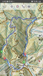
18. 30/11/2022. Trampers. Post Office Creek track from the Waipori Village side. Grade 3. $14. 60km. Leaders: Barbara and Leah.
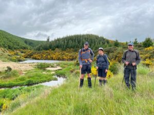
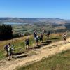
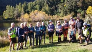
Despite ominous weather predictions for several days prior to the 30th, and heavy rain early that morning, the visual was more promising.Three vehicles and 14 trampers left the Peter Johnstone carpark heading towards Berwick and up the Waipori Falls Road, through the Village and continuing towards Lawrence. The big, locked orange gate, although on a side road, can’t be missed! Through the locked gate, past the new picnic area, following the road below the Mahinerangi Dam to cross the bridge and climb up into the Wenita section of Dunstan Road. The potholes aren’t for the fainthearted.
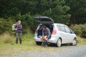
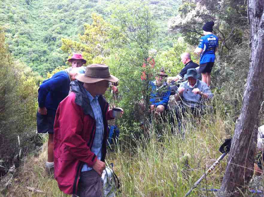
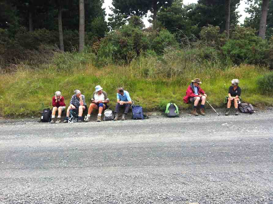
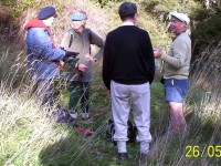
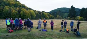
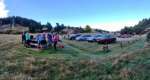
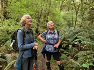
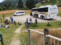
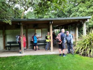
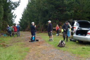
About to leave the cars - John

About to leave the cars (photo & caption John)

The walking track is off Patearoa Road which itself is off Moonlight Road and we parked at the junction of the two. The permit was left visible through the windscreen.

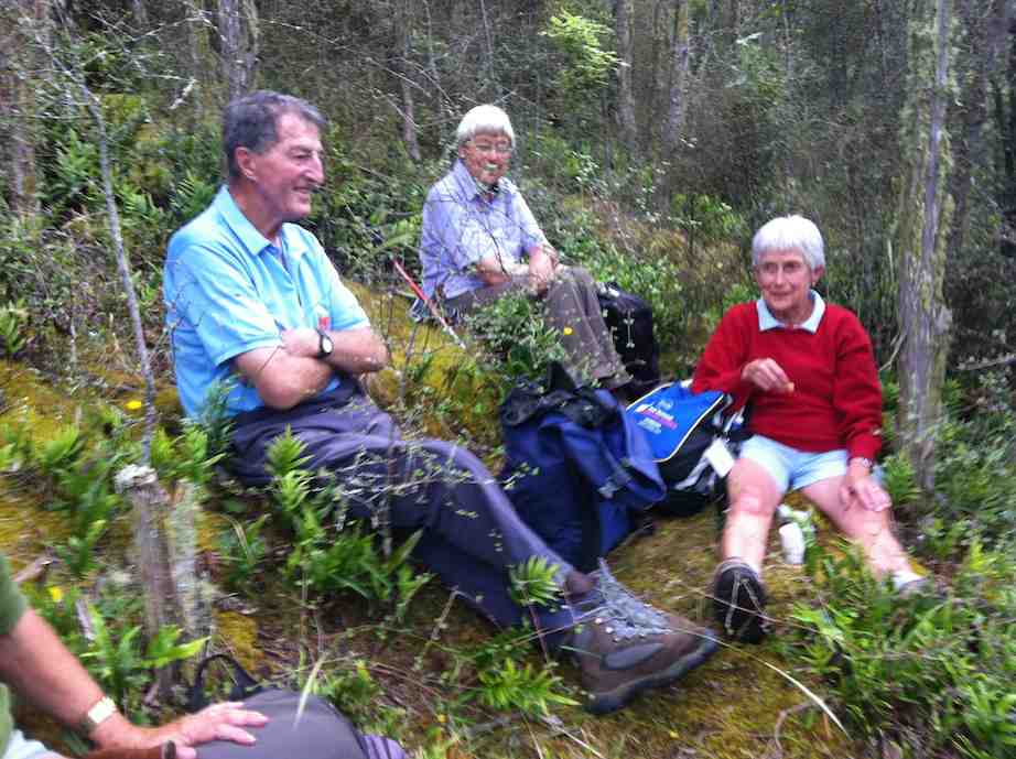
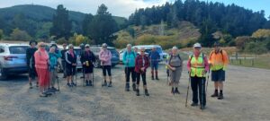
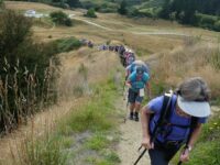
Excited to be ready to go - John

Excited to be ready to go (photo & caption John)

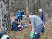
A quick morning tea, and the party set off on the 1km down-hill (remember what goes down at the beginning of the day must go up at the end!!) to the rustic signpost indicating Post Office Creek track. There was a brief delay while one driver (nameless) went back and spent a frenetic 5 minutes searching for car keys in order to lock the vehicle. Having found the keys in the backpack, they were left on the ground while the pack was rezipped. The person (also nameless) who had ferreted them away while the rezipping was underway should be afraid; very afraid! A brief detour a few minutes down the track proper took us to the now dilapidated fishing huts.

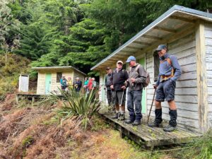
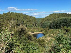
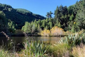
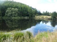
Fishermen’s Hut hidden in the trees above lake Mahinerangi - Pam

Fishermen’s Hut hidden in the trees above lake Mahinerangi (photo & caption Pam)

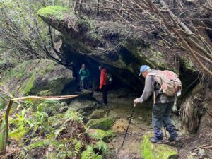
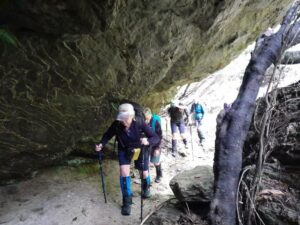
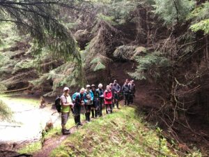
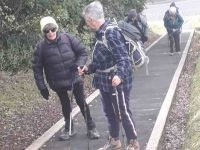
“Watch your head John” as the track winds under the overhanging rock - Pam

“Watch your head John” as the track winds under the overhanging rock (photo & caption Pam)

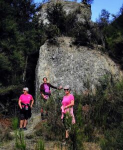
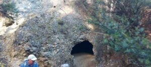
A scramble back up the track and we were crossing the first of the creeks and negotiating the rock bivvy.

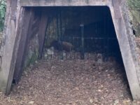
PO Creek rock bivvy2 - Barbara

Post Office Creek rock bivvy (photo & caption Barbara)

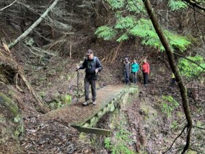
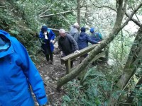
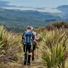
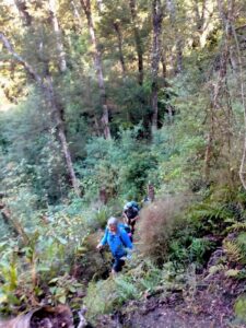
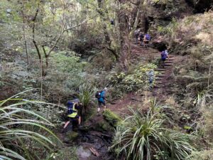
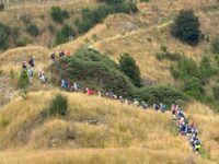
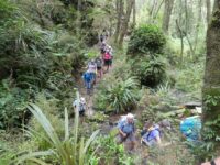
The entire track follows the contour of the slope with very little up or down. Many of the guts had bridges in varying degrees of disrepair but which, it’s understood, are likely to be removed entirely in the near future, after the maintenance work in the forestry has been completed. The tracks will be realigned to navigate the guts minus bridges.

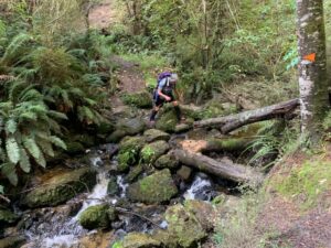
One at a time crossing the old wooden bridge - Pam

One at a time crossing the old wooden bridge (photo & caption Pam)

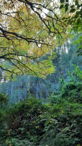
Pigs had been digging up the track which left it nice and soft underfoot and there were a few fallen branches we cleared as we went.

escaped from the forest (Jenni)

Escaped from the forest (photo & caption Jenni)

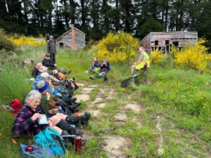
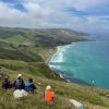
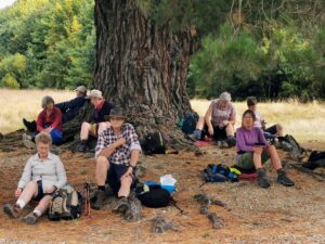
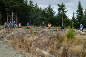
We left the canopy cover of the trees as we neared the re-sited Waipori School buildings where we sat and had our lunch. Half the group elected to follow Jill to the actual Post Office Creek while the remainder sat and chatted, walked down to the lake edge and poked around the buildings.
Disappointingly there was no fishing or poetry recitation.

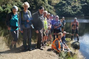
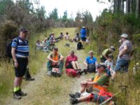
Lunch beside the relocated school house once used by musterers - Pam

Lunch beside the relocated school house once used by musterers (photo & caption Pam)

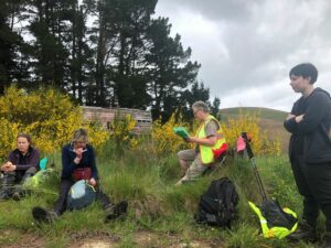
Our industrious leader with historical info - Jenni

Our industrious leader with historical info (photo & caption Jenni)

On the return of the wanderers, we set out again, retracing our steps, looking out for litter to take back to our vehicles. The last uphill kilometer was unwelcome but all 14 made it. A change of footwear, a little shenanigans with someone’s pack and sticks, and we headed back to the locked gate, this time heading to the right, over the Lake Mahinerangi causeway, through the fishing village and back to the Middlemarch Road at Lee Stream, enjoying a commentary from Jill who, for several decades, had farmed the property on both sides of the road.

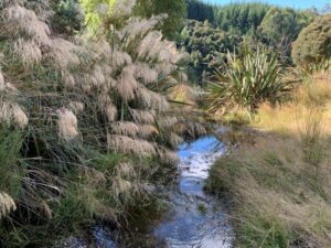
End of track at Post Office Creek - Pam

End of track at Post Office Creek (photo & caption Pam)

One carload stopped for an icecream at Outram ($2 for 2 scoops being excellent value!), but weren’t joined by the other two, who must have thought 4.30pm too late for such extravagance!

An enjoyable day on an easy track which could well be considered for a combined day.
It would be possible to leave a 4WD vehicle at the bottom of the hill, at the signpost for the track, as we did on the recce, shortening the distance by 2 km.

Barbara

Continue Reading »

No responses yet

Feb 28 1996

Bus Trip – Post Office Creek – Government Track.

Published by under Bus Trips

28/2/1996. Bus Trip – Post Office Creek – Government Track. Downhill all the way. Leaders: Jack R, Barbara McC, Joyce, Mary Y.

No responses yet

Feb 24 2024

Mahinerangi Farm Tramps

Published by under Farm,Trampers and tagged: ,

5. 21/02/2024. Tramp.  Blackrock. Leaders: Jill and Neil
Thumb Square13 trampers had a “Rock Day” beginning with rock music at Peter Johnson Park where athletic sports were about to start.
We tramped the reverse route from last time after parking in Ash Beattie’s yard. The day was sunny, became warmer as time went on and the expected wind proved to not be a problem. Morning Tea was enjoyed at the Black Rock.

Continue Reading »

No responses yet

Nov 18 2015

Waipori Road to Shaw Road

No. 110 on old hardcopy list of 113 club tramps. “Waipori Rd to Shaws Rd (See Bill Hunt) Year Round”

32 km from car park.

10. 18/11/2015 Trampers. Rannock Track from Waipori Picnic Area to Shaw Road.
On a day with dodgy looking weather, 7 of us set off for the picnic area at Waipori Dam at Lake Mahinerangi, to do a walk through the forest roads to the old fishermans huts that are on the lake edge. These are the huts that we normally walk to from Post Office Creek end, but that track is no longer negotiable, so we decided to go from the other end.
However, when we arrived at the picnic area we discovered that the dam has been closed off with a tall gate, & there is no access allowed into the forest. This came as a bit of a blow to our plans for the day, so having to improvise, we drove back along the road till we found a sheltered place to have morning tea,
1 Morning tea spot (Ken pic and caption)

1 Morning tea spot (Ken caption)

while we mulled over what the next step would be. We eventually decided to go back down the Waipori Rd. with the view to walk a bit of the Government Track.
We stopped off at the Waipori township to have a look at the Crystal Falls, which a few of us had never seen before. Impressive sight, although being blocked from a really good view by trees etc.
2. At the Crystal Falls viewing platform

2. At the Crystal Falls viewing platform. (Ken caption)

When we got to the bridge over the river just before the Govt. track, we decided to go into the picnic area there, instead of going to the Govt. track, & have a look at the track from there up to Shaw Hill Rd.
We parked up on the entrance road, as there is also a gate across there now as well, & walked up the track to the old shed, where we poked around a bit before moving on further up past the stone seat, & up to where the 4WD track starts. This lead us up to Shaw Hill Rd. where we had a bit of a look around before settling down for lunch under some pines, just by the bee hives. After lunch, we retraced our steps, but this time we took the loop track which joins up with the other one down near the bottom.
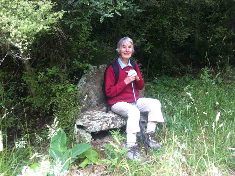
Ian H. did some research on the old shed & the stone seat, & came up with the info that the shed, along with it’s adjacent toilet, was built for the forestry workers, & the stone seat was constructed by the workers for their own amusement.
3. Ken taking advantage of the stone seat (Ken caption)

3. Ken taking advantage of the stone seat (Ken caption)

So our day was not entirely wasted, & we all enjoyed the different things that we saw during the day.
Walked 6.5km
3.7km/h
climbed 290m
max height 474m – Ken.
9. 5/2/2014 Both. Waipori DOC picnic area over bridge. Track up to Shaw Road.
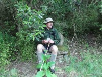
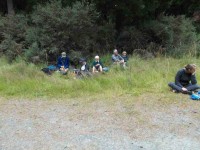
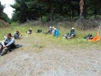
Lunch stop (Ken pic and caption)

Lunch stop1 (Ian H pic and caption)

Lunch stop2 (Ken pic and caption)

Lunch stop2 (Ian H pic and caption)


8. 9/1/2013. All. Waipori DOC picnic area over bridge. Track up to Shaw Road. Leaders: Bev, Ian.
Eighteen climbed the track and four ramblers walked up the Waipori Road.
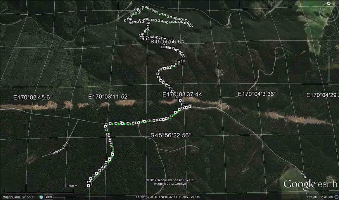
GPS

GPS of route courtesy Ken. We climbed via the shelter and the steep true left track of loop up to Shaw Road – and beyond – and descended via the loop’s longer gentler sloping true right side.

Cuppa at Lookout outcrop on steep track.

Cuppa at Lookout outcrop on steep track.

Another cuppa pic.

Another cuppa pic.

Lunch on Shaw Road

Lunch on Shaw Road

Stone seat

Stone seat at grassy part of track.

One hiker spoke for many when he thought the climb seemed much longer and steeper than when he had last done it (about a decade earlier!).

7. 20/10/2010. Hikers. Waipori Area. McLaren Rd, Wesleydale Rd, Farmland to Mill Creek. Poleline to Wesleydale Rd. Leaders: Bill and Lesley.

Following is a brief report on Wednesday 20/10/2010 Hikers tramp.
In all there were 12 people who enjoyed the day mainly because it was a new tramp, a lovely day, and no rain.
We parked the cars in McLaren road and ambled on up McLaren turning into Wesleydale Road, stopping for morning tea out of the cool breeze. Then continued on over farm land to Mill Creek. Found a lovely spot for lunch in the sun along the Waipori river bank.
After lunch we walked up the pole line to  Wesleydale Road and back to the cars. Approx 12 km all up.
The morning was cool until about 10am after which the sun shone from then on. – Lesley.

6. 17/9/2008. Hikers. Waipori Walk. Medium. Leaders: Bill H, Peter.

5. 21/9/2005. Both. Waipori area. Leaders: Arthur and Barbara, Bill H, Lance and Lois.

4. 26/5/2004 Both. Waipori Gorge. Climb from the DOC picnic area. Medium. Leaders: Bill H, Lesley, Irene, Les W, Ray, Mary M
Pause on track. Nadia, Dorothy, Lex, Bob

Pause on track. Nadia, Dorothy, Lex, Bob

3. 13/9/2000. Waipori Gorge area. Leaders: Bill H, Pat and Bill.
2. 10/9/1997. Waipori Gorge. Leaders: Lesley S, Bill H, Bev H.
1. 4/10/1995. Waipori Gorge. Medium. Leaders: Bill and Lesley, Graham and Doreen.

One response so far

Feb 24 2024

Woodside Glen, plus to top of Maungatuas

Published by under Read More issue,Trampers

No. 30 on old hardcopy list of 113 club tramps. “Woodside Glen to Maungatuas. E Blackburn, D McEwan. Summer”

Short and long options. (Maungatua climb fairly steep. 5-7 hours. Heavy tussock on top.  Route only. Manager: DOC.)


Img 8520 Squre18. 14/2/2024. Trampers. Maungatua Option. Leaders Lyn Keene, Anne Ward and Di Bezett

Travel Distance 40ks, Grade: 3.5, Altitude gain: 711 metres. Total distance: 15.64 ks.

The day dawned to reveal blue skies and temperatures were predicated to be between 28-29 degrees. Continue Reading »

No responses yet

Dec 09 2023

Tomahawk Lagoon and nearby tracks/areas

Published by under Beach,Trampers

Ocean Grove, also known as Tomahawk, is a suburb in the southeast of the New Zealand city of Dunedin. … The suburb was known as Tomahawk until the 1930s, the name not being a reference to the weapon, but rather possibly an anglicised form of the Māori words tomo haka, meaning “dance by a gravesite”.

No. 23 on old hardcopy list of 113 club tramps. “Karetai Rd via Monument from Lagoon. Year round.”

Distance from car-park: Tomahawk: 19 km; Smaills Beach: 22 km;  Paradise Road: 26 km.’

DCC List: 41 Peg Track. Otago Peninsula
Accessed from Oregon St. 3.5 hrs ret. Tramping track – unbenched. Managed: DCC CAM, private land.
Description – This track provides a link between Ocean Grove and Highcliff Road. Access to the track in Ocean Grove is off Oregon Street. An attractive walk around Tomahawk Lagoon then climbs through gorse and native bush. Turn right towards Soldiers Memorial through paddocks with gorse sometimes obscuring the rock walls.

  • Classification – Hard
  • Time – Approximately 45 minutes.
  • Parking – Limited at Highcliff Road. No dogs.
  • Dogs – No

Boulder Beach From Top Of Highcliff Track Pam (square) (100x100)43. 06/12/2023. Trampers. North of Tomahawk. Grade 3. $7. 22km. Leaders: Esther Willis and Julie McKenzie
As hoped, the weather was kind to us, as this tramp would be wasted without being able to savour the spectacular views.

Continue Reading »

No responses yet

Nov 22 2023

Leith Saddle, Swampy Spur, Transmitter Tower. Also Rustlers and Burns Tracks

Published by under Both Hikers & Trampers

Information
Click Swampy ridge track for background information.
See also: Leith Saddle and Morrison Tracks
Leith Saddle, Waitati Valley Road, Sawmill Track, Swampy Ridge, Burns Track
Click boardwalk history for account about the original Leith Saddle Track  and the establishment of the boardwalk in 1993.
For our Club’s part in the boardwalk venture see boardwalk for an ODT account of its construction.
See also TRTC Jack Merrilees (who died January 2015)

Cars park off motorway at Leith Saddle yard (alternatively down side road at bridge (restricted space). 25 km from car park.
Walk across side road to track.
Gravelled track 1.5 km. (morning tea on lookout seats a little further on)
Transmitter Tower 2 hours.
Going further: along road past doppler radar to DoC sign.
Right along Rustlers Ridge track to junction with Burns Track.
Through junction and up and round hill on Rustlers Ridge Track. (Lunch on hill)
Down ridge to pipeline. (Alternatively turn right at junction for Burns and down to pipeline)
Turn right along pipeline.
5.5 hours in all.
Burns – Rustlers circuit Maintained by Green Hut Track Group. DCC land.


Img 7887 Res 10035. 22/11/2023. Trampers. Burns/Rustlers Ridge. Grade 4. 25km. Leaders: Phil Morris/Carolyn Pridham.

On an overcast muggy day, 20 Trampers headed to Leith Saddle. We set off down Leith Valley road, and left up Burns Track entrance onto Pipeline Track Continue Reading »

No responses yet

Apr 07 2023

Gabriels Gully, Lawrence. Bus Trip

Gabriels Gully. Key to Maps
Map No. 2. Otago Dam

Map No. 2. Otago Dam

Map No. 3. Munro Gully

Map No. 3. Munro’s Gully Bush Walk. Oburns Track.

Map No. 4. Wetherstons to Goldfield Park Historic Reserve.

7. 5 April 2023. Combined.  Gabriel’s Gully, Lawrence. Grade 4 (trampers) & Grade 2 (hikers). $20. Leaders: Phil Keene (Trampers), Jan Butcher (Hikers)

Hikers’ Report (scroll down for Trampers’ Report):

At 8.45am we travelled in convoy with the trampers to Lawrence, where we had a comfort stop before continuing onto Gabriel’s Gully. Halfway down the road the brakes were on as we came across a large STOP sign and barriers preventing us from going any further.

Monument to Gabriel's Gully - Helen

Monument to Gabriel’s Gully (Photo & Caption Helen)

It turns out contractors were cleaning up a large tree which had fallen across the road, so we retraced our steps back to Blue Spur Road, a gravel road taking us up and up, around and down, meeting up with Munro Road and down into Gabriel’s Gully. Whew!

Getting ready to start our journeys - John

Getting ready to start our journeys (Photo & Caption John)

Hiking group at the start - Helen

Hiking group at the start (Photo & Caption Helen)

We all had morning tea on arrival and then said goodbye to the trampers as they set off in another direction and 19 hikers commenced the Interpretation Loop Track.

Pretty in pink - Margreet

Pretty in pink (Photo & Caption Margreet)

The first 20 minutes was up and up and a couple of “breathers” needed but soon we reached the top with great views over the Gully floor below.

Looking up into trees at Racemans Hut - Ady

Looking up into trees at Racemans Hut (Photo & Caption Ady)

We continued around the well-groomed ridge walk and down Blue Spur/mining sites checking out the information stations along the way and stopping at points of interest.

Cave - Helen

Cave (Photo & Caption Helen

It was then back down the hill to our cars and a short walk along the road to Grey’s Dam where we sat under a large tree to enjoy our lunch break, after which we dropped our packs back at our cars and took a short walk around the gully floor.

Lunch stop - Margreet

Lunch stop (Photo & Caption Margreet)

Fortunately, the return road was cleared and we stopped off at the ‘Prospector’ for refreshments before returning to Mosgiel. The weather played its part – not too hot and no wind to speak of. A very enjoyable 4ks walked on the day.

Jan and Jay

Trampers’ Report:

32 very keen walkers set out on time, in 8 vehicles, to make their fortune in the hills of Central Otago; we suffered all sorts of setbacks as traffic delays, or ‘hold ups’ frustrated us. Most of us felt better for the stop on the corner in Lawrence; and some just had to get that takeaway coffee…..another ‘hold up’ on the road up to GG with a sign that had multiple meanings and road block. On up around the bend Jan B walked and got the low down (tree clearance) so the cars did an about face and detoured over Blue Spur – once farmed by Chris and Ant Wither and down into GG. Chris outlined the local well known activity of sheep rustling, and apparently ‘not just back in the day’.

Once again Gabriels Gully the centre of the world - Phil

Once again Gabriels Gully the centre of the world (Photo & Caption Phil)

With a school group also present the GG car-park really did feel as if another gold rush was underway. The delays did not lessen the need for morning tea, as the sun was shining, but we were finally off on our way by 10.45am.

13 trampers skirted the SW ridge of GG, through the man-made landscape now dominated by Sycamore trees, feeling very much at home here as well as adding a nice splash of Autumn, passing the mine tunnels and North of Ireland battery. Some of us musing where was the South of Ireland battery?

We crossed Victoria Road, the main entrance to the Glendhu Forest and on past Victoria (Milburn’s) Dam and started the steady ascent, initially through a larch forest, then up through the remnant beech forest and gorge/ ravine/gully of the Munro track.

Munro Gully jungle - Phil

Munro Gully jungle (Photo & Caption Phil)

Something interesting up there! - Marijke

What’s so interesting up there in the jungle? (Photo & Caption Marijke)

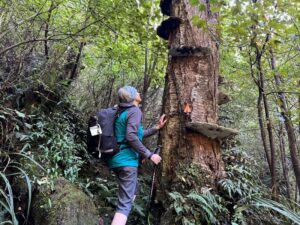
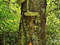
Admiring the “Shelf Fungi” growing on this dead tree - Pam

Admiring the “Shelf Fungi” growing on this dead tree (Photo & Caption Pam)

Trampers walking beside the “Water Race” - Pam

Trampers walking beside the “Water Race” (Photo & Caption Pam)

Progress was tempered by the intimate feel of the walk, as well as the little dips into streams (they looked gold bearing to me) then the challenge of all those man made steps.

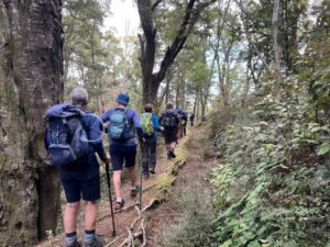
Trampers on Munro’s Track - Pam

Trampers on Munro’s Track (Photo & Caption Pam)

Finally, we emerged into the Glendhu pine forest and onto road 21, are we at the top yet? being a common question. The answer being ‘no not yet, we’ll just go up and around the bend a little way for lunch, which will give a lovely view into the West, Blue Mountains and all’. And of course, this happened as planned.

Lunch stop in a forestry clearing - John

Lunch stop in a forestry clearing (Photo & Caption John)

After lunch we continued the steady ascent, mostly now on Victoria Road; no trucks came past to enjoy our bright coloured tops…..We took the first turn on the right into Road 22 and continued down, shambling through fir and gum forest and along the very well maintained forestry roads and drainage systems.

Looking down to the Otago Dam - Pam

Looking down to the Otago Dam (Photo and Caption Pam)

Upon a slight rise in the road, we enjoyed a view down into Otago Dam which was full to the brim as usually there is just a trickle of a stream.

The entrance onto the Dam is now much clearer than other recent club forays and we stopped to pose, as you do in these sorts of places. From here it was a slow and steady descent through beech forest for a couple of hours, as a little care was required on the steeper parts, as well as completing half a dozen stream crossings, and of course the banter about the number of flood warning signs there were and how many hundreds of metres did each sign say?

 - Marijke

Interesting creeks, luckily none were flooded! (Photo & Caption Marijke)

Chris negotiating another creek crossing - Marijke

Chris negotiating another creek crossing (Photo & Caption Marijke)

As we emerged around Grey’s Dam into the bright open car-park many mused on the fact ‘that last time this was where the bus was parked, and we took our boots off and lay in the sun…..’

Greys Dam group Phil

Greys Dam group photo (Photo & Caption Phil’s camera assistant)

Beautiful spot at the end - Marijke

Grey’s Dam without the group, what a lovely spot! (Photo & Caption Marijke)

After the inevitable team photo with the autumn coloured back drop, we set off for the last ten minutes of walking to the cars, where we did take our boots off; the general consensus being it was to be each car for itself back into Lawrence (the tree had been cleared) and get an ice cream on the run which we did do, helping us to get back to PJ park at 4.45pm, just as the first bus pulled in to take folk to the Rod Stewart concert. For those that went, is he still sexy? Is he still sailing? Did Cyndi just want to have fu-un?

Happy Trampers posing - John

Happy Trampers posing (photo & Caption John)

A great day out, thanks to the drivers especially and to Rayonier Matariki Forests for access to Glendhu Forest. For the trampers 11km, walking time 4 hours 30 minutes, 350 m altitude gain and I’m sticking with Grade 4.

Phil

Walk map - Phil

Walk map – Phil


6. 3/2/21. Combined. Gabriel’s Gully/ Munro Gully Track/ Glendhu Forest

Gabriel’s Gully:  Lawrence 3 February 2021

Well then, what about the best laid plans of mice and men…… thanks to everyone for being early, and money in the bank, but we were undone by an accident near Burnside that held the bus up!  Fortunately there was no walk out, and once it arrived, everyone jumped on board to go for a ‘walk about’ at Gabriel’s Gully, on a near perfect day, not too hot & not too cool.  Just perfect you might say.

Richard the bus driver did his best to get us back on schedule, and after a short stop at the corner in Lawrence, we arrived at Gabriel’s Gully just after 10am; so naturally the 40 participants partook of morning tea and readied for the walking, as you do!

20210203_101959res

“Morning tea on arrival.” – Photo and Caption Clive

With map in hand the 7 (including the driver) in the Jan Team (thanks Jan B and Jan Y) headed up the hill to undertake the Interpretive Track, and to spend an hour or two absorbing the history of the area.

The remaining 34 headed to Munro’s Gully on the opposite side of the Gully, with the groups able to wave to each other, almost ‘Bon Voyage’ like at a wharf.

P1020843res

“Off we go!” – Photo and Caption Gordon

IMG_6386res

“Follow the person in front around the loop.” – Photo and Caption Noi

Passing both an old Mine Shaft and the North of Ireland Battery, the self-named Team B (29 walkers) led by Phil, opened up a bit of a gap on Raewyn’s Team A (5 walkers). 

IMG_6393res

“Underground mine shaft.” – Photo and Caption Noi

Crossing Munro Road and heading for Milburn’s (Victoria) Dam, there was time to stop & take in the reflections, no hint yet of any early autumnal colouring.

P1020849res

“Victoria Lake.” – Photo and Caption Gordon

From the Dam it was a steady ascent through the lovely beech forest, with those pesky red Rowan berries trying to outdo the red colouring on the native Horopito (pepper) trees. 

Some impressive bracket or shelf fungi were visible (Ganoderma);  in days of old, these were sent back to China by early immigrants apparently having amazing medicinal properties; at a more practical level they are rock hard and used for intricate wooden jewellery.  They attack the diseased heartwood of a still living tree.

20210203_114502 (2)res

Bracket Fungi on some of the trees.” – Photo and Caption Clive

The rise and fall of the track gave time to take in the babbling brook, ferns, mosses etc and the dappled light was well, beautiful.  For Team B we were welcomed about 2/3 of the way up by some Falcon screeching, with some brief sightings – this was in the same place as the week before recce, where 3 came much closer and all being very visible. I was reminded in this time and place of Wendell Berry’s lines “Always in the big woods when you have left familiar ground, and step off alone in to a new place there will be, along with feelings of curiosity and excitement, a little nagging dread.  It is the ancient fear of the unknown and it is your first bond with the wilderness you are going into”.

P1020853res

“Terrific Bush” – Photo and Caption Gordon

After an hour and a bit, pine cones were lying on the track, an indication we were getting near Glendhu Forest, ‘the top’ and not long after, we emerged on to Road 21, the lunch spot right on 12 noon. Most sat on the road with feet downhill, almost meant to be!

P1020859res

“Lunch.” – Photo and Caption Gordon

The arrival of Team A gave rise to enthusiastic acclamation – well done!  After some chit chat, 4 of Team B were welcomed into Team A.  They returned to the Gabriels’ Gully car park via Cornishman’s Dam, down through the forest beside water races to Pollard’s Dam and then followed the Interpretive track to their destination.  Once reconnecting with Jan’s Team they all drove off to Lawrence to enjoy the local delights.


This left 25 in Team B, and so we headed off up through Glendhu Forest on Road 21 thence Victoria Road.  At the top, this provided great views of West Otago and I think Northern Southland in the murky distance.  Thence down Road 22 through a delightful archway of Douglas Fir and at the intersection of Roads 22, 23 and 24, we found a ‘yellow ribbon tied around a wineberry tree’. Amazing.

P1020864res

“On the road to the top.” – Photo and Caption Gordon.

Continue Reading »

2 responses so far

Sep 15 2022

Street Walk: Town Belt areas.

Published by under Hikers

10. 14/09/2022. Hikers. Street walks of Dunedin – from the Oval. Leaders Jenni and Bruce

Memorials, buildings and landmarks that we drive past regularly were revisited when 24 hikers ventured out on a clear but cold Wednesday. Wearing many layers of clothing, we set off from the Oval, which as one clever quiz team recalled, covers 22.9 acres.

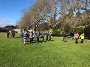
14 Sep Oval Setting off from the Oval Jenni

Oval Setting off from the Oval (Photo & caption Jenni)

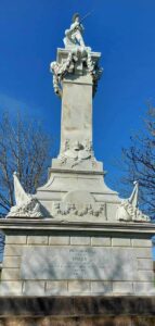
14 Sep Oval Perfect detailing, Boer War memorial, pic Helen

Perfect detailing, Boer War memorial (Photo & caption Helen)

Henry Ely Shacklock, Prince of Wales Hotel, Carnarvon Station, Bell Pepper Blues, the Empire Hotel – the home of the Dunedin Sound, all conjured up memories of time passed.

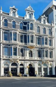
Further along Princes Street, we admired the beautiful refurbishment of Wains Hotel, now a 5 star boutique hotel and its across the road neighbour, Distinction Hotel, formerly the 1937 Chief Post Office. This building housed a huge number of public servants over the years.

14 Sep Oval Pristine Wains Hotel , Helen

Pristine Wains Hotel (Photo & caption Helen)

Morning tea was taken in the sunshine on the Dunedin Cenotaph.

14 Sep Oval Morning tea Helen

Morning tea (Photo & caption Helen)

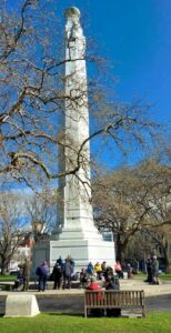
There was much to observe and discuss in the Exchange. The Cargill Monument, originally erected in the Octagon, but shifted to the Exchange in 1872. A mammoth effort, considering the detail.

14 Sep Oval What a task relocating this in 1872 Helen

What a task relocating this in 1872 (Photo & caption Helen)

It was interesting to visit Queen Elizabeth II’s, great-great-grandmother, Queen Victoria, who reigned for 63 years and seven months. What an amazing length of service from our two stoic royals.

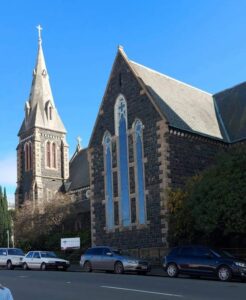
Rattray Street, today a crumbling collection of buildings, has huge memories for many of the team ….. Hong Kong Café, Sunset Strip, Dragon Café, Tai Ping Restaurant, the Rolling Stones party place, Calder Mackay and the Crown Hotel to name a few. Along Manse Street, up Stafford Street. Ross and Glendining Ltd, Kempthorne Prosser, Sew Hoys and the St Mathew’s Anglican Church. The architect for the church was William Mason, MP and Dunedin’s first mayor and yes related to Mason and Wales of today.

14 Sep Oval St Mathew's Church Helen

St Mathew’s Church (Photo & caption Helen)

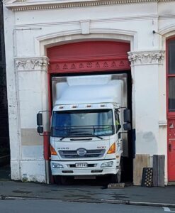
14 Sep Oval Admirable skills here Helen

Admirable skills here (Photo & caption Helen)

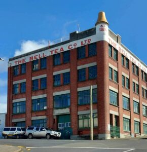
Next came the stories from the Rugby Hotel, topless waitresses (from one who knows) and the Bell tea building.

14 Sep Oval NZ's oldest tea producing company Helen

NZ’s oldest tea producing company (Photo & caption Helen)

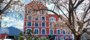
The Market Reserve was our next destination, and there’s miles of history around what was formerly a tidal inlet, the original shore of Otago Harbour. The Victorian style men’s toilets were discussed, ladies were no where to be found. The Crown Roller Mills building has now been beautifully restored and houses 12 luxury apartments and a restaurant.

14 Sep The Crown Roller Mills Building Helen

The Crown Roller Mills Building (Photo & caption Helen)

We admired the house Johnny Jones lived in (39 Melville Street) which is still in great shape and then popped our heads into The Dunedin Club which was built for him. Royalty have stayed there. This is used today as a hub for business people, weddings, conferences etc. It also has eight luxurious suites for accommodation. As an aside did you know that Jones donated the land for the building of St Paul’s Church in the Octagon?

14 Sep Oval The grand hall, photo courtesy of The Dunedin Club

The grand hall, photo courtesy of The Dunedin Club

We zigzagged up the 98 steps (one of the quiz questions), to Maitland Street and some viewed the Bottled Sunshine sign for the Lanes lemonade factory. Some missed that! Carroll Street which was previously known as Walker Street, was the red-light district of Dunedin and associated crime. The top block of Carroll Street was known as the Devil’s half acre. The arrival of the Lebanese community helped improve the area, but the reputation was renowned. Now, we’re informed the red-light district is all around us, with online ordering and home deliveries!

14 Sep Oval Up Maitland St, looking back occasionally for great views John

Up Maitland St, looking back occasionally for great views (Photo & caption John)

The team made good progress up the steep Maitland Street and arrived at our lunch stop at Unity Park. The wind chill factor caused us to depart sooner than we would have liked. We were happy to know the Trampers had reached the top of Mt Cargill for their lunch stop but they couldn’t see us waving!

The only other site worth mentioning was from Walter Street and overlooking where Carisbrook once was and pondering what might be in store for the Forbury Trotting site.

Back through the Southern Cemetery, a rather sad place with many delipidated plots.

At the Oval, we popped into the Kensington for a short quiz on the day’s findings. One of the team’s names was “Time for Ovalteam” – clever! The team though who won the quiz was “Outram Plus 1” and received boxes of Smarties, which seemed appropriate. Drinks and homemade nibbles were enjoyed, service was a bit slow.

Walk was around 9 km.

We would like to thank everyone for their keen participation for an enjoyable day out.
Bruce and Jenni.

Note: Toilets on this walk are few and far between. If you want the Oval toilets open, you need to organise this with the DCC – www.dunedin.govt.nz/do-it-online/book/facility-bookings or phone 477 4000. The ones in the Exchange area where the ACC building is being erected, are no longer available.


9. 16/02/2022. Hikers. Town Belt Circuit. M. Leaders Linda Partridge and Diane Paterson

Thirteen keen hikers met at Woodhaugh Gardens for morning tea before setting off on a circuit of the northern/central part of the town belt.

16 Feb Woodhaugh Gardens morning tea Ady resize

Morning tea at Woodhaugh Gardens (photo & caption Ady)

We began by taking the zigzag path and steps up from Duke Street. When we reached Queen and Warrender streets, after our first ascent, we viewed the university in the distance and saw up close where many of the students lived in their hillside flats. We met some students from Auckland moving into their new abode and friendly banter ensued between the students and the sprightly TRTC hikers. We also marvelled at the parking arrangements in these narrow steep streets.

16 Feb More steps Diane resize

More steps! (photo & caption Diane)

We continued on to Cosy Dell and took time to view the tennis courts and the array of historic homes, many now flats that are located in a small area.

16 Feb Street walkers Raewyn

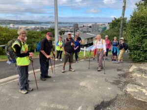
Great views of the city along the way (photo & caption Raewyn)

16 Feb Betty on scooter Linda resize

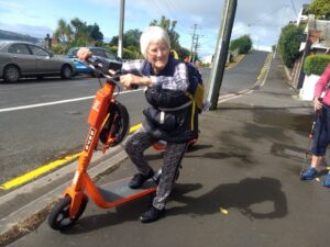
Betty keen for something different! (photo & caption Linda)

16 Feb Freddy Mercury Raewyn

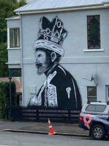
‘Queen’ Freddie Mercury on Queen Street (photo & caption Raewyn)

More steps (and groans) and we made our way along Park Street to Heriot Row, London Street and then around by Moana Pool to our lunch spot at Olveston.

Unfortunately we felt we were a little early for lunch so low and behold another set of steps were located and we climbed up to Wallace Street and then found a pleasant route back down to Olveston for a well-earned lunch.

16 Feb Olveston lunch Ady resize

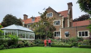
Lunch at Olveston (photo & caption Ady)

After lunch and a brief look at the lovely Olveston gardens our route back took us along streets and tracks through the town belt until we regrouped at Stonelaw Terrace. Given we were making good time we did a detour down Cannington Road and Braeview Crescent before descending on the historic Bullock Track to our cars at Woodhaugh Gardens.

16 Feb Looking to NE Valley Ady resize

View of the Leith Valley (photo & caption Ady)

It was a great day with lots of interest including history, panoramic views, friendly students, the very special Green Belt and a few laughs along the way. The circuit we took was around 9kms.

Afternoon tea was enjoyed at the café in the Botanic Gardens.

Linda and Diane


8. 11/9/2019. Hikers. Town Belt- walk, bus trip. Leaders: Pam and Jenny.

B.1. Morning tea at Dunedin City Petanque. No shorrage of seating, perfectly sheltered from any breezec

B.1. Morning tea at Dunedin City Petanque. No shorrage of seating, perfectly sheltered from any breeze. (Barbara pic and caption.)

B.3. Playtime for a youngster! c

Playtime for a youngster! (Barbara pic and caption.)

B.4.Lunch time at Olvestonc

Lunch time at Olveston. (Barbara pic and caption.)

B.64. Lesson on tackling step before teacher heads actoss the ditch!c

Lesson on tackling step before teacher heads actoss the ditch! (Barbara pic and caption.)

Continue Reading »

No responses yet

May 07 1988

Lake Mahingerangi and Waipori

Published by under Uncategorized

Waipori Monday

Waipori Monday

Waipori/Mahinerangi

Waipori/Mahinerangi

Extracted from David Still:

THE WAIPORI GOLDFIELD: A Brief History

Gold discovered at Waipori

On 17th December 1861, [a certain] O’Hara and his mates reported a new gold field at Waipori. … and on the 20th December 1861 … about 400 miners working on the banks of the Lammerlaw Creek and its tributaries. Soon there were tents and some stores scattered all along the creek, and the entire population was calculated to be about 2,000.

The Township of Waipori

The place called the township was a wretched site, perched on the cone of two small hills, difficult of ascent and limited in area. Five miles further down at the junction of the Waipori River and Lammerlaw Creek there began to form another township on level ground near the old road and ford, and so the town (first known as Waipori Junction) was born.

The School

Mr. James Edward Wilson was appointed as teacher in 1866 and later under his real name of James Payne Baker. … In 1911, the school was reduced to one teacher from then on. …  and in 1925 Catherine O’Reilly.


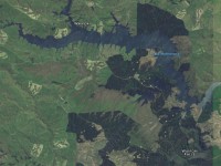
Lake Mahinerangi is a small lake formed when a dam was built on the Waipori River for hydroelectric generation.

The Waipori hydro-electric scheme includes a network of four dams and power stations and produces a maximum output of 84 MW.
The lake itself, was named after Olive Mahinerangi Barnett, the daughter of William Barnett, mayor of Dunedin 1911-1912.

Lake Mahinerangi

The tributaries of the Waipori River are in the Lammerlaw Range. The river descends gradually until the Waipori Gorge, where it suddenly drops 222 metres in approximately 4,000 metres. Which makes the gorge an ideal site for a hydro-electric scheme.

Lake Mahinerangi was formed by a 20.4 metre high dam, with work beginning in 1927 and completed in 1931, with a powerhouse of 3,000 kW capacity. The new lake submerged the mining township of Waipori and mining interests had actively opposed the building of the dam as Waipori Flat was still being actively mined. In 1920, the Dunedin City Corporation Empowering Act was successfully pushed through Parliament to enable the use of the Waipori River as a hydro-electric reservoir.

The Mahinerangi Dam was increased to its final height of 33.5 metres in 1946. By 1955, two more generating stations had been built downstream from the original powerhouse. There have been further replacements and additions to generating capacity between the 1960s and 1980s.
Ref: http://www.geocaching.com/geocache/GC40XTJ_lake-mahinerangi-otago?guid=2a93463a-0c4d-40e0-a083-d45b514a7aa6

Victoria University of Wellington Library
Victoria University of Wellington logo
New Zealand Electronic Text Collection

Home
About
Help

[advanced search]
▼ About this page

Title: The Cyclopedia of New Zealand [Otago & Southland Provincial Districts]

Author: Cyclopedia Company Limited

Publication details: The Cyclopedia Company, Limited, 1905, Christchurch

Part of: The Cyclopedia of New Zealand

Creative Commons Attribution-Share Alike 3.0 New Zealand Licence

License: Creative Commons Attribution-Share Alike 3.0 New Zealand Licence
Share:
Other formats

TEI XML file ePub eBook file

Connect

mail icontwitter iconBlogspot iconrss icon

▼ Browse collection

People
Projects
Works
Subjects
Autobiography; Biography; Journals; Correspondence
Contemporary Māori and Pacific Islands
Historical Māori and Pacific Islands
Language
Literary Criticism and History
Literature
New Zealand History
Science and Natural History

The Cyclopedia of New Zealand [Otago & Southland Provincial Districts]
Waipori

Previous Section | Table of Contents | Up | Next Section
Waipori.

Waipori is a scattered mining district, and forms the eastern portion of the county of Tuapeka. The township is situated about the centre of the mining district, and is fourteen miles from Lawrence, and twenty-five to the west of Outram. It is connected with Lawrence by a coach service, which carries the mails. The township stands at an elevation of about 1300 feet above sea level. Quartz mining has been carried on at Waipori since the early days of settlement, and during recent years the most modern systems of dredging and hydraulic elevating have also been in vogue. The township has a post and telegraph office, a school, hotels, and stores.
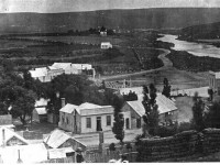
Waipori In 1898.

Waipori In 1898.

The Waipori Post And Telegraph Office is at present carried on in the business premises of Mr. F. W. Knight. Mails are despatched and received thrice weekly. Telegraph messages are transmitted at the usual rates by telephone to Lawrence. There is a money order office, but no savings bank.

Mr. Fred William Knight , J.P., Postmaster and Telegraphist, at Waipori, was born at Shirley, in Hampshire, England, in 1856. When four years of age he came to Victoria with his parents by the ship “Essex.” In 1862 the family came to New Zealand in the steamer “Aldinga,” and went to Waitahuna, where Mr. William Knight, father of Mr. Knight, carried on business as a baker with much success. The family then went to Miller’s Flat, and in October, 1864, removed to Waipori, where Mr. page 692 Knight has resided ever since, and has been intimately connected with nearly all the public affairs of the district. For over twenty years he has been a member of the local school committee, and has been many times its chairman. In 1887, Mr. Knight became a member of the Waipori Lodge of Oddfellows, in which he attained the highest position, and has for about twenty years held the office of permanent secretary. He now usually represents the lodge at the district meetings. In February, 1884, he was appointed a Justice of the Peace, and in that capacity he acts as deputy-coroner for the district. Mr. Knight was one of the founders and first chairman of the present Miners’ Association. For several years he represented Waipori riding in the Tuapeka County Council. Besides being a Justice of the Peace, and postmaster and telegraphist, he now holds an appointment as clerk of the Wardon’s Court, and formerly he held the office of Registrar of Births, Deaths and Marriages. Mr. Knight was a member of the Waitahuna licensing committee, when that body existed, and he afterwards contested the Taieri licensing election and obtained over 600 votes, but was not successful. He was appointed a trustee of the Waipori cemetery in 1884, and still holds that office. Since 1882 he has carried on business at Waipori as a general storekeeper; he also has the sole bakery business of the district, and does a fair trade in butchering. Mr. Knight having lived in goldmining districts nearly all his life, takes great interest in everything pertaining to the mining industry. He has owned some valuable mining properties, including several water-races and two quartz crushing batteries, and he also owns a good deal of other property in Waipori. In 1884 he married Mary, third daughter of Mr. Richard Lean, of “The Rocks,” Port Chalmers, and has five sons and two daughters. He has recently purchased, from his father-in-law, the fine property at Port Chalmers, known as “The Rocks,” and will probably settle there if he ever leaves Waipori.
Mr. F. W. Knight.

Mr. F. W. Knight.
“The Rocks,” Port Chalmers, Property Of Mr. F. W. Knight, Waipori.

“The Rocks,” Port Chalmers, Property Of Mr. F. W. Knight, Waipori.

Bridge Hotel (W. E. S. Knight, proprietor), Waipori. This is a two-storey wooden building, containing thirty-five rooms, including a bathroom, billiard-room, three sitting-rooms, and a large dining-room. There is ample stable accommodation attached to the premises.
page 693

Mr. Samuel Caudwell , sometime Proprietor of the Bridge Hotel, Waipori, was born in Nottinghamshire, England, in 1833. In 1852 he came out to Victoria, and went to Castlemaine, Mount Alexander, Bendigo, Sandy Creek, McIntyre’s, Mount Maldon and all the principal goldfields. Within two months of the discovery of Gabriel’s Gully, he landed in New Zealand. He immediately went to the field, and paid one shilling for the carriage of every one pound of food, tools, etc. For some time he was fairly successful, and he returned to Australia, where he became interested in various quartz mining ventures. About Christmas, 1866, he came back to New Zealand, and ever after resided at Waipori. On his return he engaged in ground sluicing, but sold out all his rights, waterraces, etc., and became a hotelkeeper. Mr. Caudwell was chairman of the local school committee. During a mining boom he and others sold the O.P.Q. claim to the New Zealand Minerals Company, Ltd., for £5000 cash. While he was on the Victorian goldfields Mr. Caudwell paid as much as £160 per ton for freight from Melbourne to Bendigo, and bought flour at £25 per sack, butter 6s per pound, sugar 3s per pound, and salt 3s per pound. Mrs Caudwell came to New Zealand from Victoria in the early sixties. Mr. Caudwell died on the 8th of December, 1901.

Mr. William J. Farrell , formerly owner of the Waipori Deep Lead, is a native of Belfast, Ireland, and arrived in New Zealand in 1874. Shortly after landing he joined an exploration party on the West Coast, but returned to Dunedin and entered commercial life, from which he retired in 1888. Mr. Farrell invested capital in the Macetown district, and for years was the managing director of several companies. In 1882 he made a special journey to America, for the purpose of acquiring a knowledge of modern improvements in mining. With that end in view, he visited Colorado and Nevada, and other great mining centres. In two years he returned to the colonies and acquired the “Homeward Bound,” “Lady Fayre,” “Golden Treasure,” “Victor Emmanuel,” “Morning Star,” “Black Angel,” “Garibaldi,” and “Maryborough” mines, and other properties in the Macetown district. Following in the footsteps of the late Mr. J. C. Brown, M.H.R., who floated the Blue Spur mine, Lawrence, Mr. Farrell went to London, and successfully floated one of his group, known as the Premier Consolidated Gold Mining Company, Ltd., for the sum of £70,000. This company is now named the Glenrock, Ltd., and with a total expenditure of about £18,000, it had (up to the end of 1899) obtained gold to the value of £35,000, and was still working at a handsome profit. Mr. Farrell considered that this success was largely due to working the mine under the “Incline” principle, which was at first termed a Yankee notion. During Mr. Farrell’s absence from the colony, this plan was allowed to drop, but when he returned, he, as managing director, insisted on its resumption, and brought it to a successful issue. The Deep Lead at Waipori was another mine the development of which bears witness to Mr. Farrell’s resourceful enterprise. Mr. Farrell also invested in tin mines in the Rexhill district, Tasmania, where, according to the Government Geologist’s official report, “It is nothing unusual to find large blocks of tin which yield from sixty to seventy per cent, of pure metallic tin.”
Bridge Hotel, Waipori.

Bridge Hotel, Waipori.
Mr. W. J. Farrell.

Mr. W. J. Farrell.

Previous Section | Table of Contents | Up | Next Section

Home | Advanced Search | About | Help

© 2014 Victoria University of Wellington | Contact us | Conditions of use
No responses yet