No. 38 on old hardcopy list of 113 club tramps. “John Bull Track to River. J Shaw. Year Round”
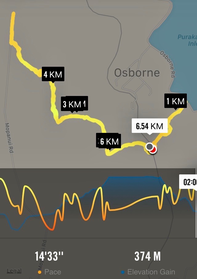
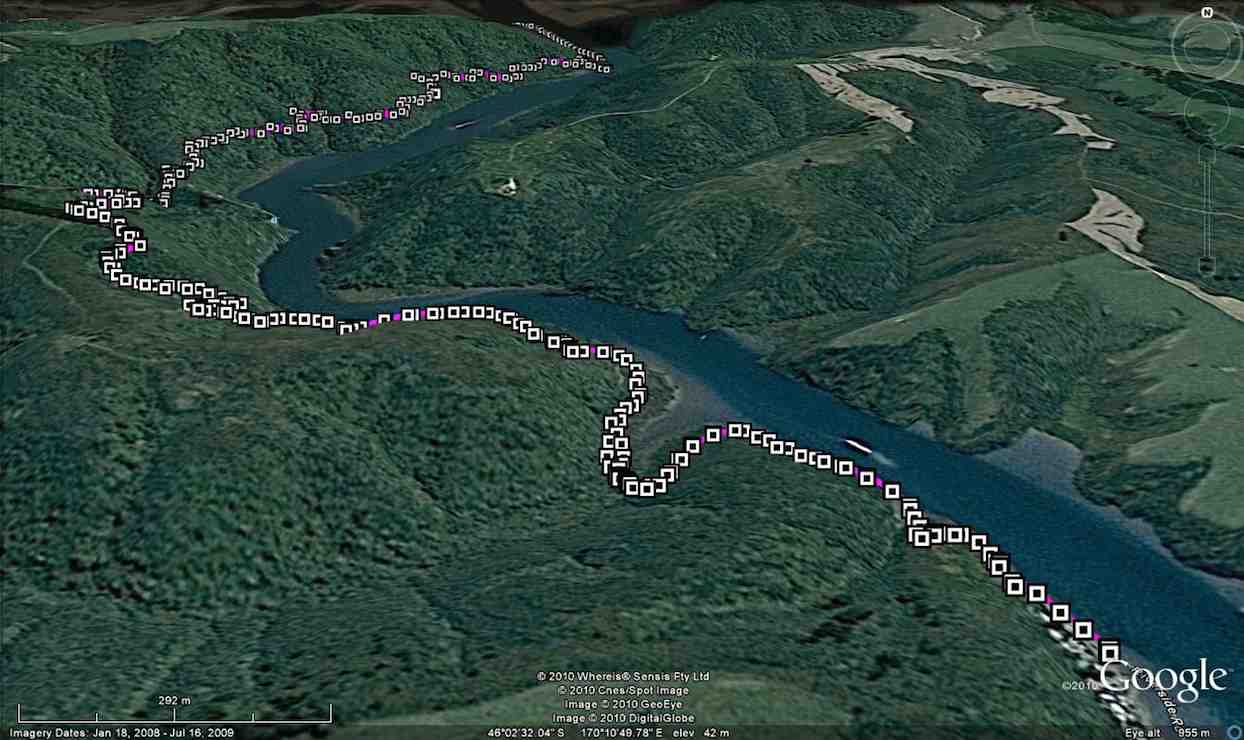
Location: 31.8 km.
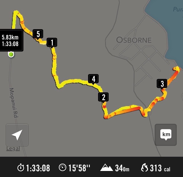
17. 5/10/2016. Hikers. Millennium-John Bull; Taieri Ferry to Taieri Mouth. Bus at both ends. M. Leaders: Bob and Doug.
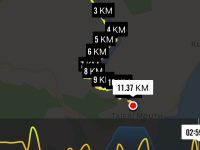
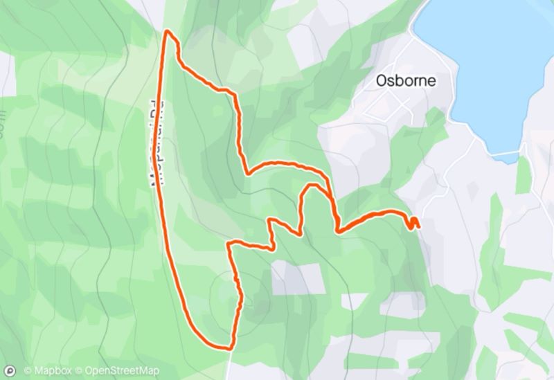
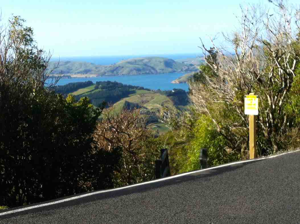
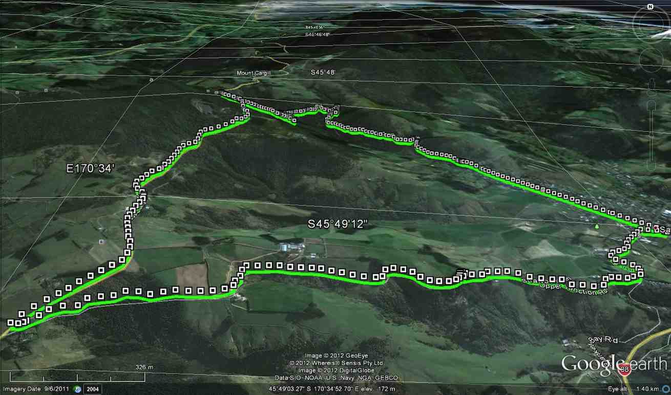
Map of route. 3.3km ferry bridge to Wardell cottage; about 5km to seat; about 3km to track end; about half km to bus at T.M. bridge.
Millennium Track – combined trip Wednesday 5th October 2016-10-05
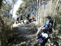
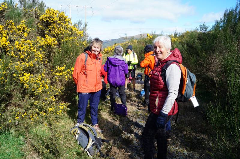
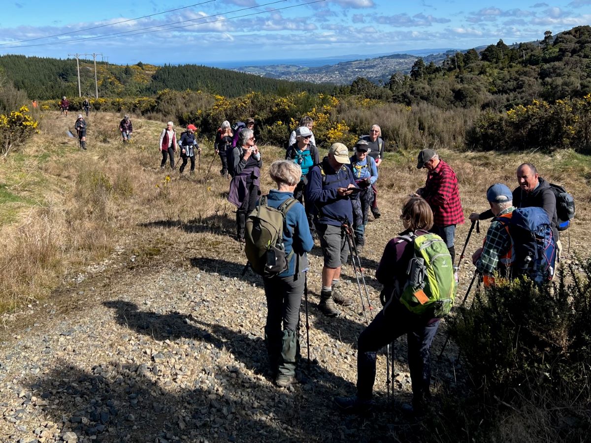
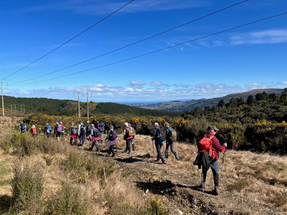
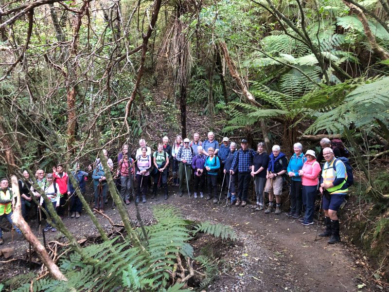
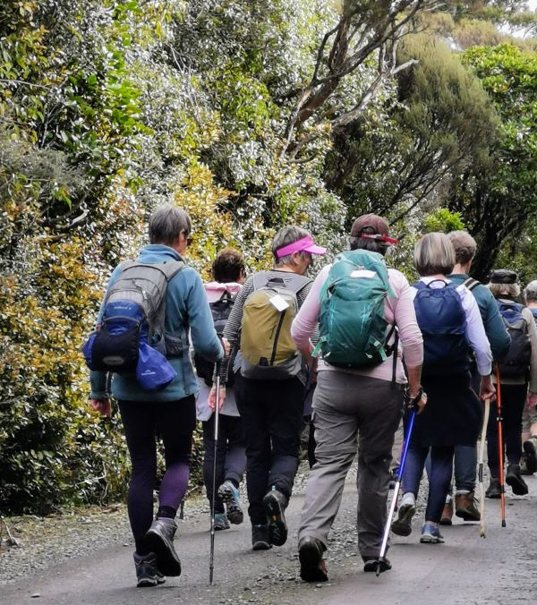
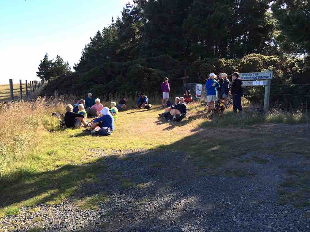
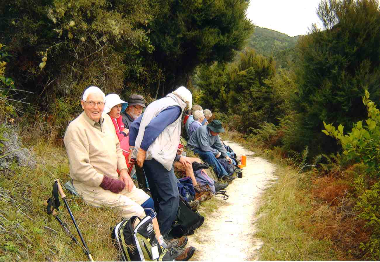
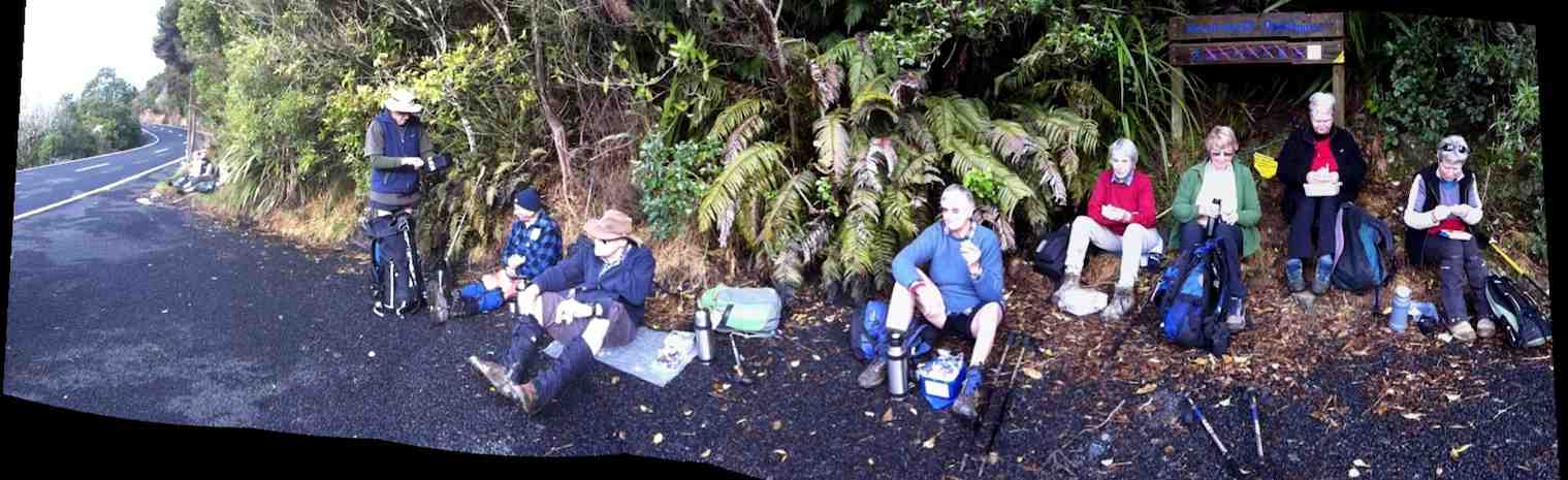
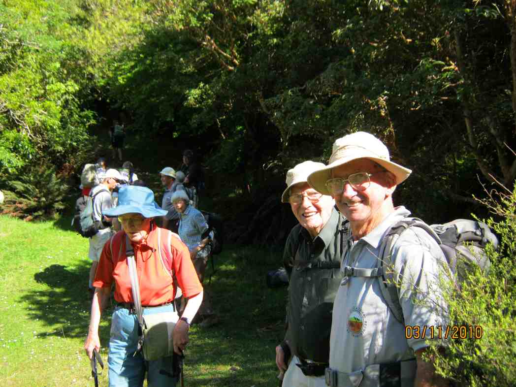
A dampish morning did not deter 40 intrepid club members who boarded the bus at the Bush Rd car park promptly at 9am. Packs were stowed in the luggage compartment and our driver Richard transported the happy crew out to Highway 1 and along to Henley and the start of the track – well, almost the start. 24 hikers disembarked in persistent light rain and trudged along the road for 45 minutes to a morning tea stop on the veranda of the white house just over the style, at the true beginning of the track.
The remaining 16 bods (and the bus) departed for Taieri Mouth.
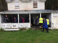
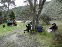
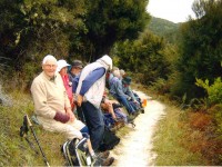
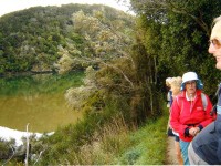
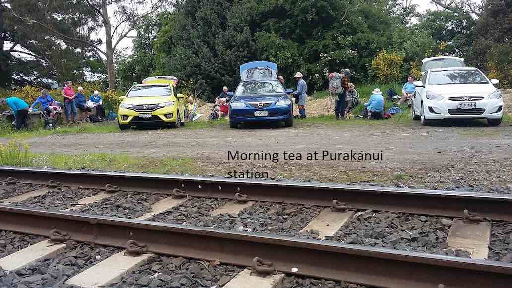
Sheltering from the rain for morning tea in the old Wardell’s crib verandah.
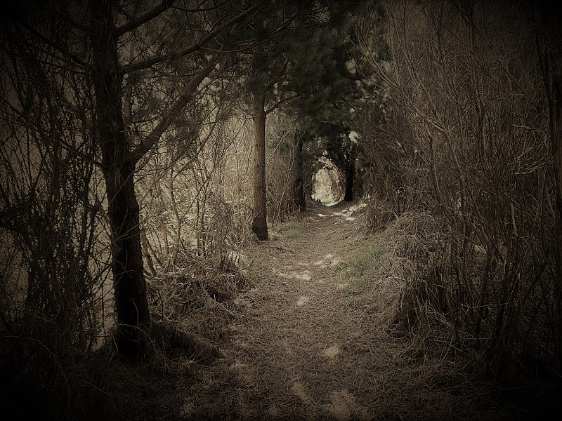
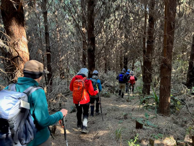
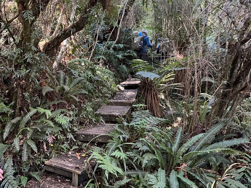
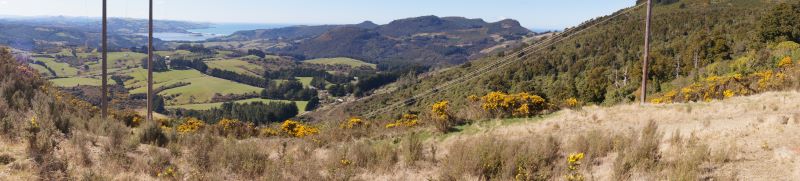
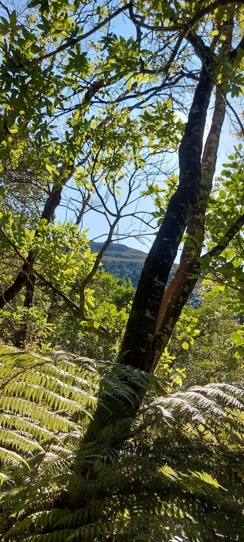
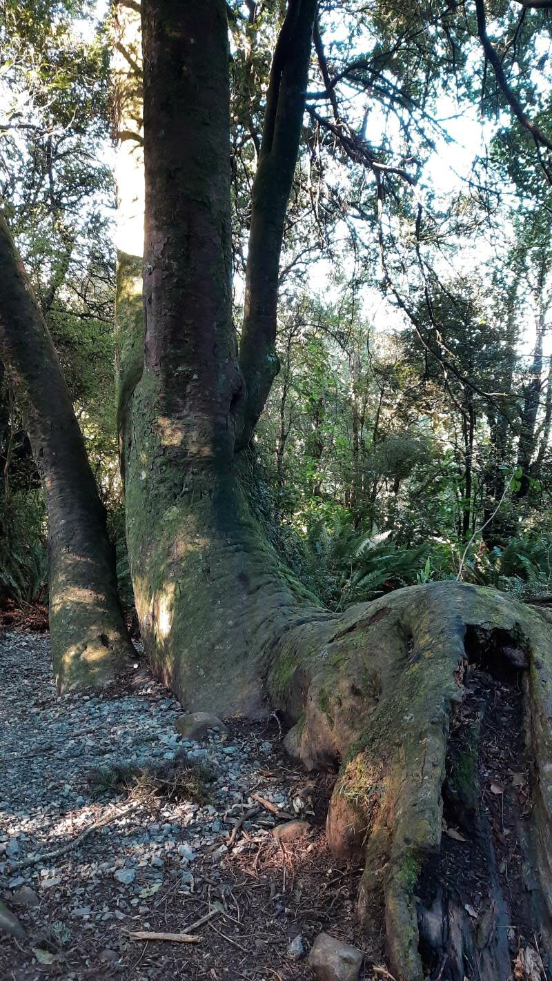
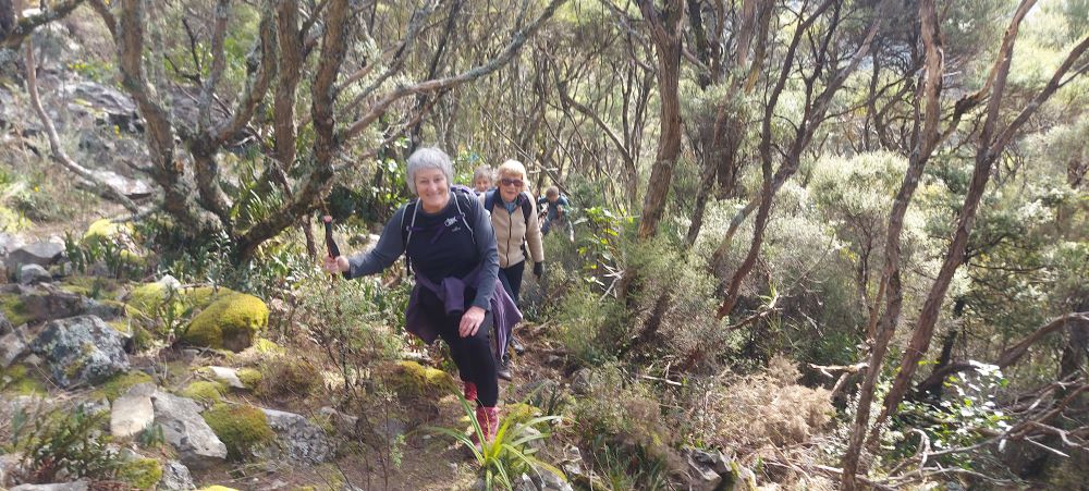
The upward plod soon began and we were glad it wasn’t too hot. The light rain continued but there was no wind and it was pleasant for tramping. It was lovely in the bush with plenty of bird song and glimpses of the river below as we climbed.
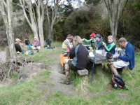
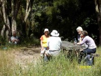
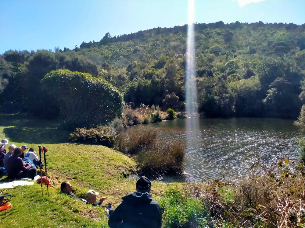
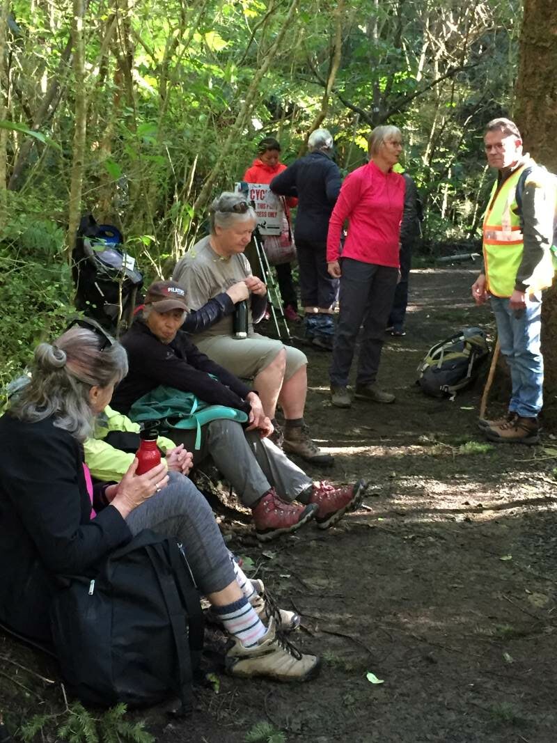
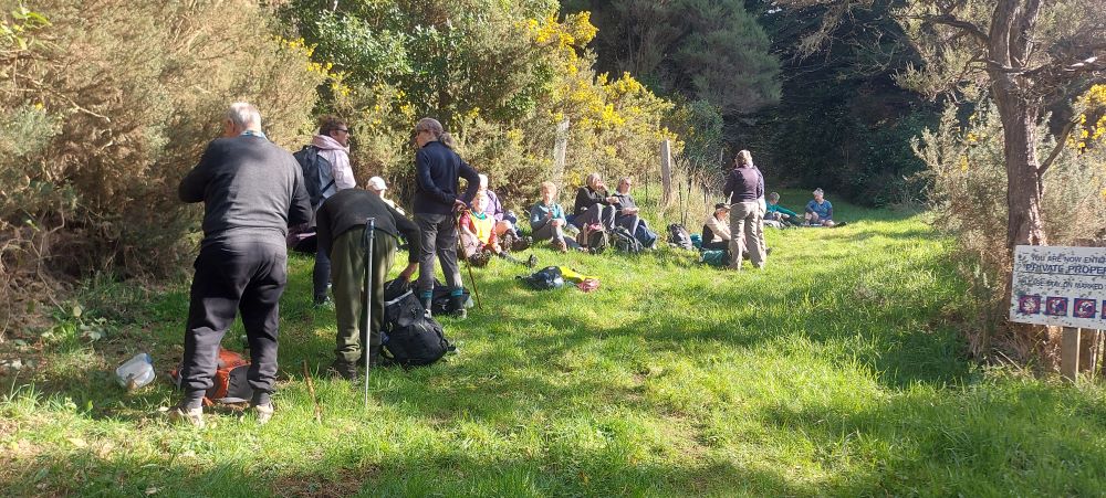
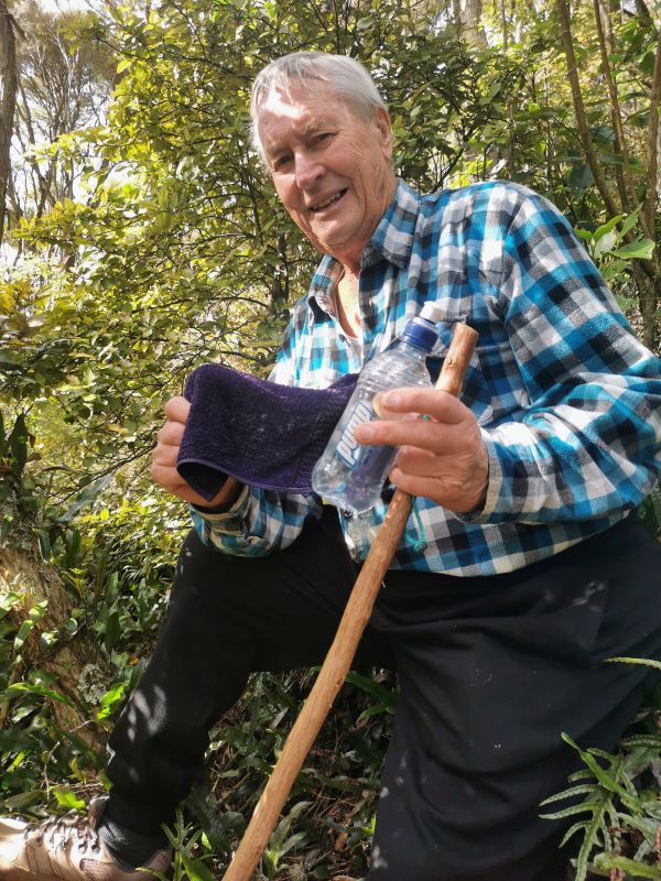
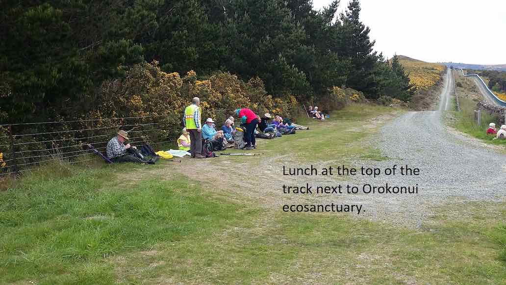
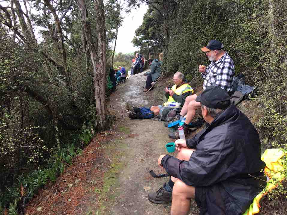
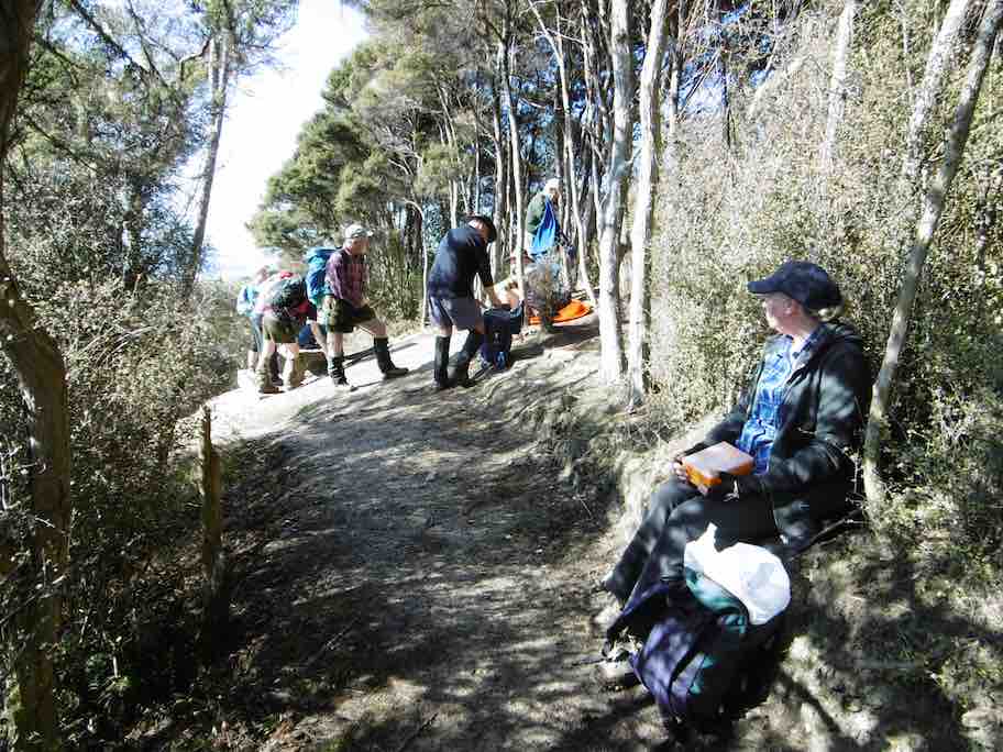
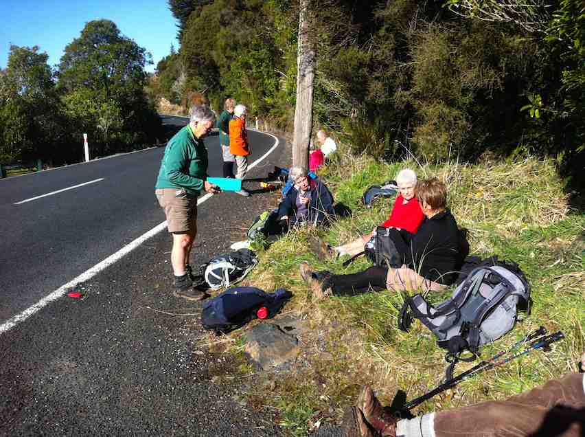
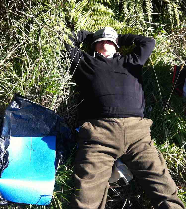
A couple of solid hours saw us at the junction down to John Bull Creek, where it was unanimously decided not to descend, but to press on to the top for lunch. Which we did, collapsing gratefully for welcome food and drink. The rain had stopped and a pleasant break was had, with chocs to celebrate Alec’s recent birthday.
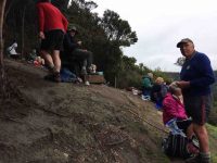
Lunch at the seat. Rain stopped at last.
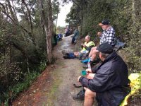
Lunch stop viewed from another angle.
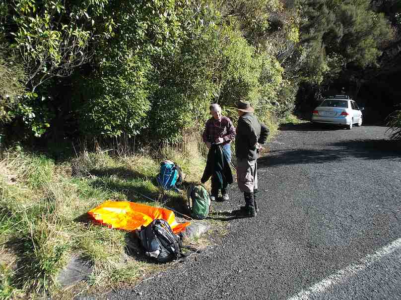
Then down, and down, with a few inadvertent sit-downs, and the loss of a couple of impatient members who tried to take the direct route….it was quite slippery. No harm done, and we were soon back by the river for the last plod out to the road. The bus parked by the bridge was a welcome sight.
Nine cheerful souls on the bus had had a pleasant few hours meandering round Taieri Mouth and catching up on gossip, and there was no sign of the hardy seven trampers.
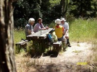
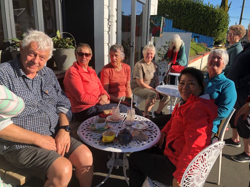
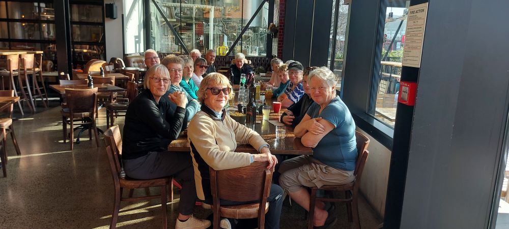
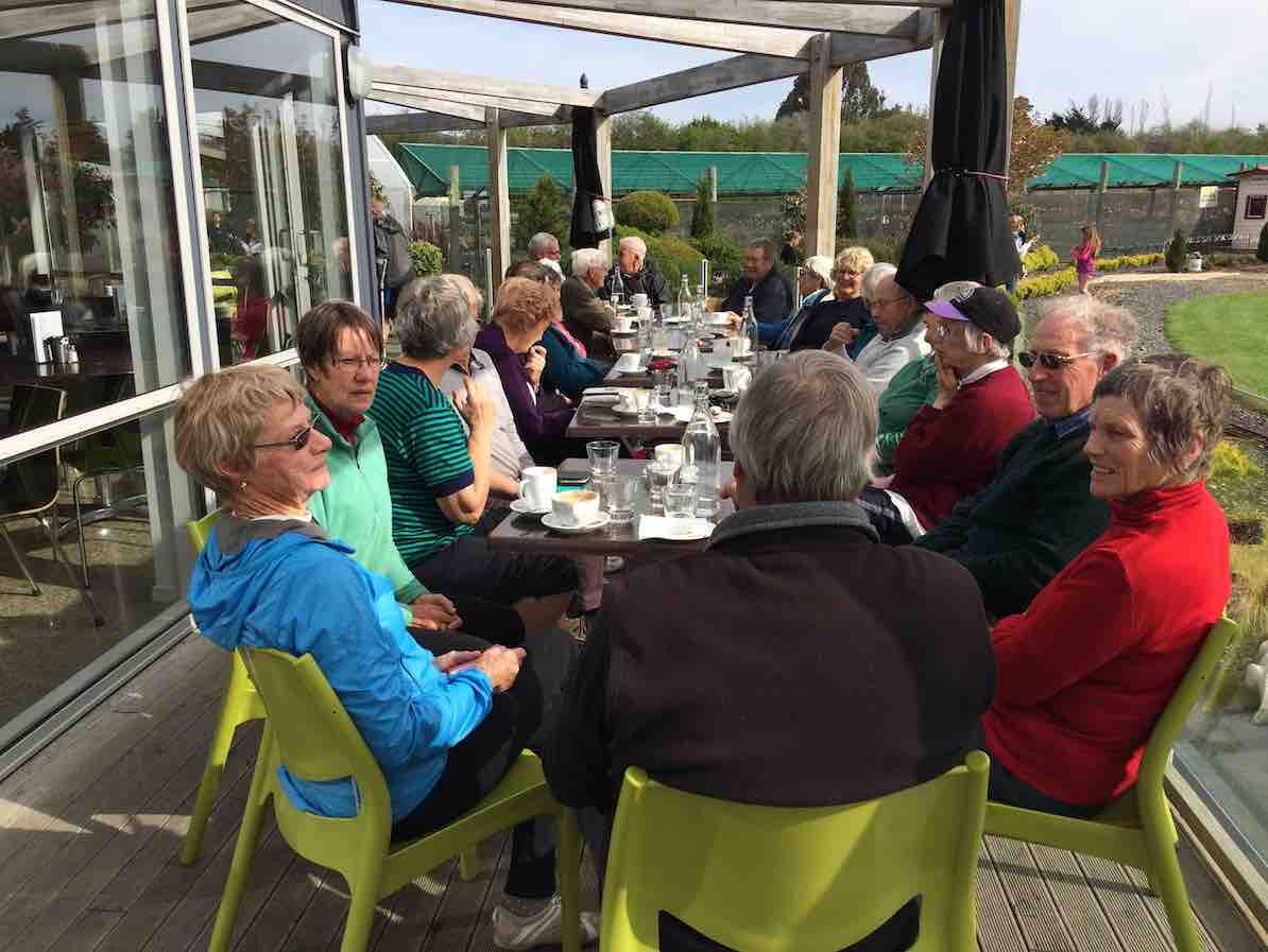
Thanks to hiking leaders Bob and Doug and tramping leader Arthur. It was a great day out, well-supported and enjoyed by all, and rounded off with a riotous session for coffee for 23 at Topiary. – Judy.

Coffee at Topiary. 23 in the sun.
16. 13/7/2016. Trampers. Millennium and John Bull from Henley. M. Leader: Arthur.
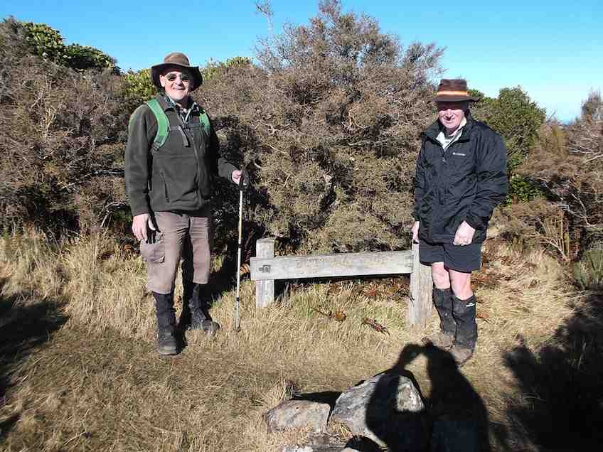
Two cars transported 9 trampers to begin the day’s adventure. The mild temperature was welcome, the sky overcast with northerly breezes.
We left the car-park at 10.00 a.m. and waked for about 10 minutes, to have morning tea at the picnic spot on the riverbank.
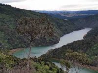
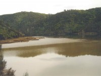
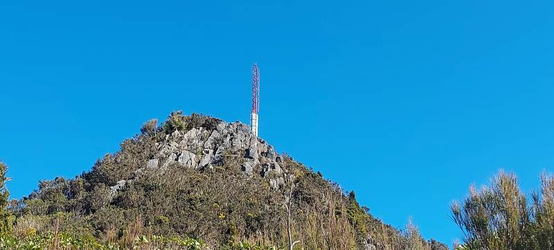
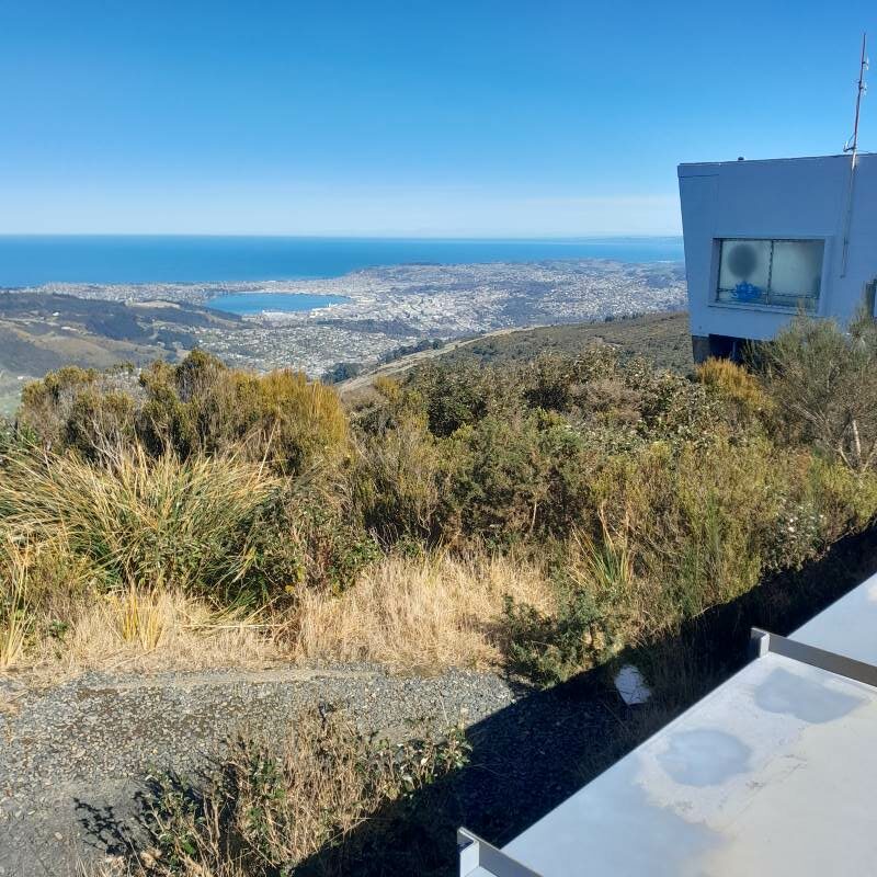
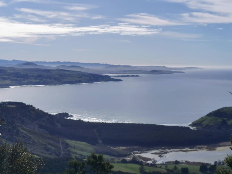
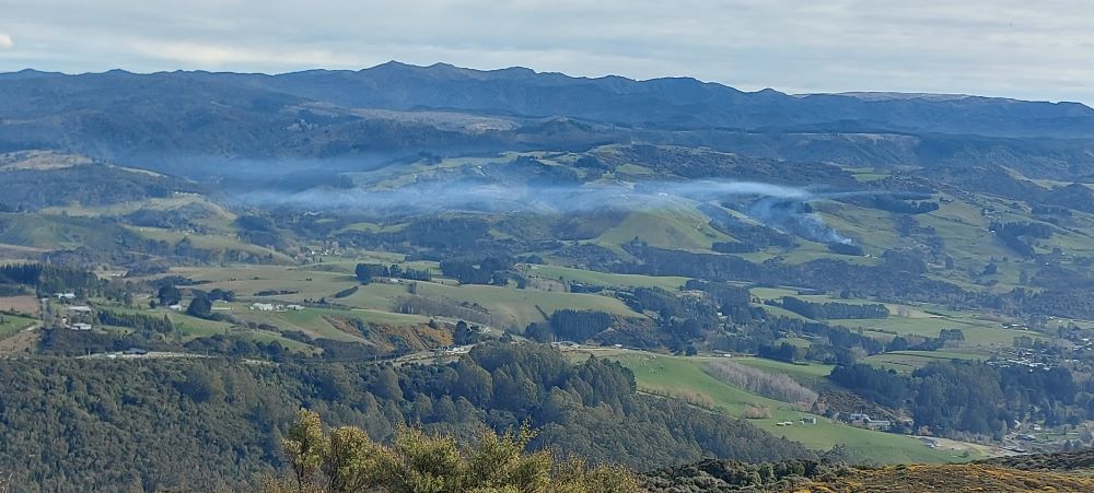
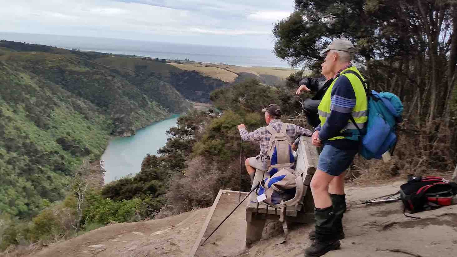
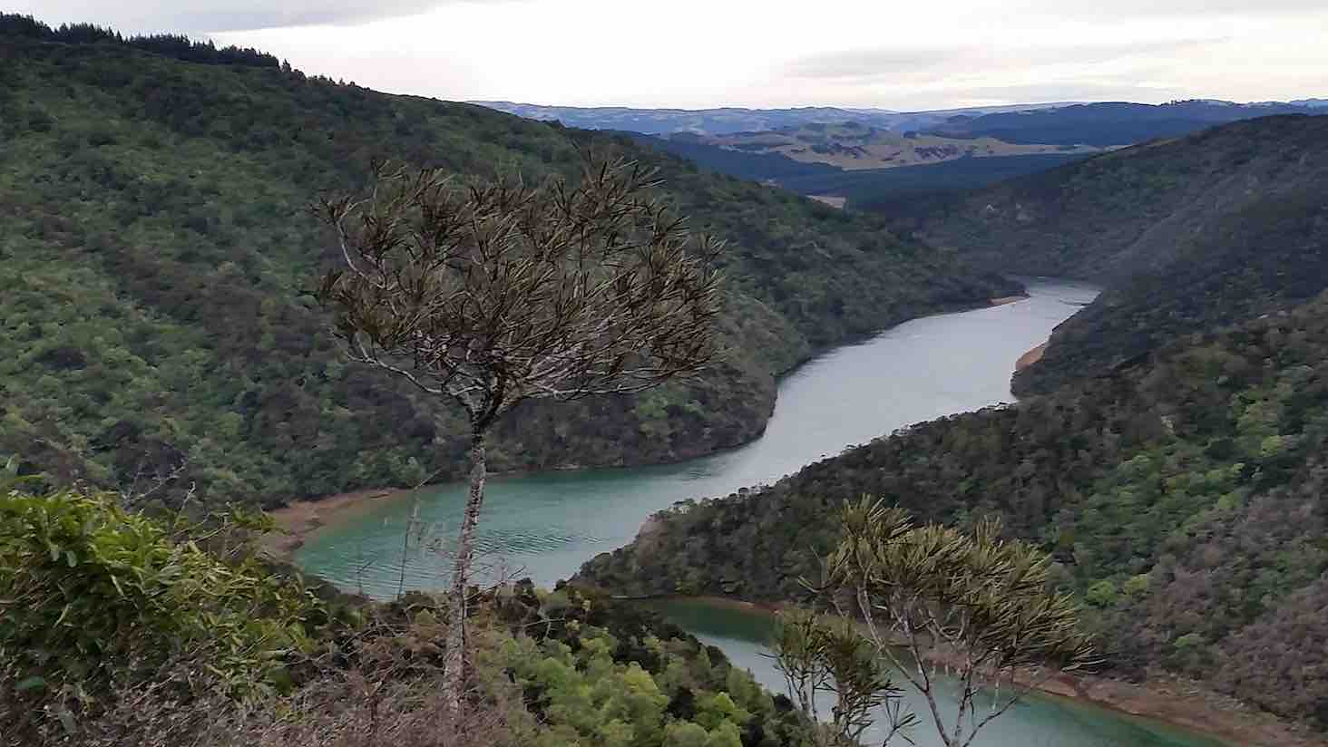
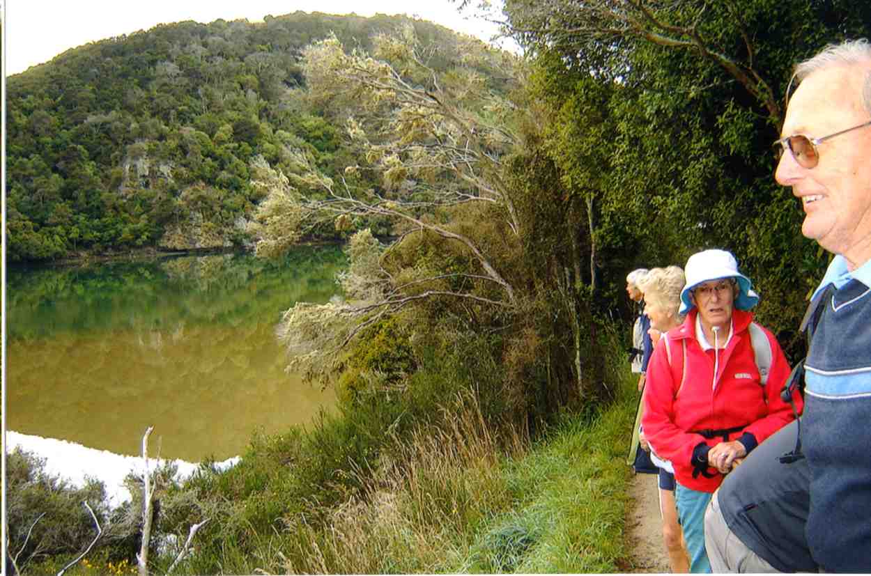
Continuing on it was up and down, as the track flows, and then up to the high up seat where we stopped for a little while. This spot overlooks the river to advantage
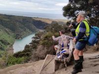
Another river view. (Margreet pic and caption.)
and also views away to the north too.
View from the top. (Margreet pic and caption.)
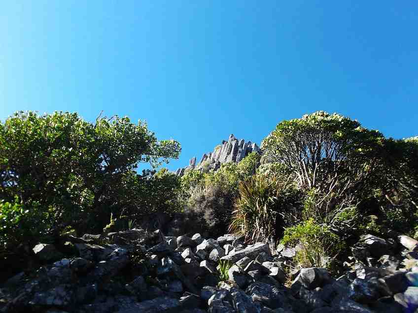
For example, Mount Cargill stood out in all its glory, with its mast on top.
The track was now downhill, the trampers intelligently noting that it would be the opposite on the returning journey. We came to a small wind-blown tree across the track, but Neil M. wrestled mightily with it and it was a problem no more.
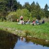
An hour after leaving the high up seat we reached the track’s end. We were invited to have our lunch outside at Jay’s nearby house (she didn’t have the key with her), which we found a most pleasant and suitable place. – Thanks, Jay.
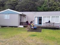
Lunch on the verandah of Jay’s Bach at Taieri Mouth. (Margreet pic and caption.)
A half-hour’s lunch and rest stop, and the party was on the track again. Grim determination was noted now, and with little talking, a fast pace was set, and we were back at the high up seat in an hour uphill – the same time as it had taken going down.
It had just come on to rain, so a brief regroup was taken under the trees, coats on, etc. The view being ignored now, downhill, and we were back at John Bull gully – just as the rain stopped and the sun came out.
Up the zigzag, and along, and down, etc., saw us back a the car park at 3.35 p.m.
The DoC sign at the car park stated that it was 9.3 km to Taieri Mouth but Margreet’s electronic gizmo said that we had done 16.2 kms.
Whatever distance we walked, we can say very definitely that “we went there and back”. A satisfying day’s tramp.
Blustery wind and rain welcomed us back to Mosgiel. No time for coffee today! – Arthur (substitute leader for Helen – off sick.)
15. 9/9/2015. Trampers. John Bull and Millennium from Taieri Mouth.
This tramp was done in place of the one scheduled, as I could not get permission from the farmer to do the tramp that was on the program.
Ten of us arrived at the Taieri Mouth car park, & set off along the riverside track. We had quite a late morning tea stop at the wooden seat at the top,…
Cuppa (Ken pic)
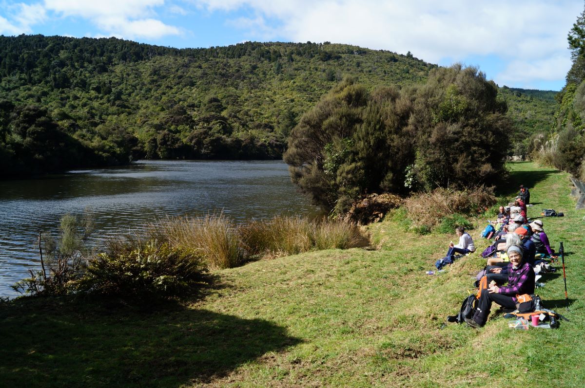
…before going down to John Bull Gully, where we had a short break. Then it was on along the Millennium track towards the Henley end. We arrived at the picnic spot down by the river, & had lunch there…
Lunch1 (Ken pic)
Lunch2 (Ken pic)
…before setting off to do the remainder of the track, though to Wardells Cottage, & the car park beyond. [just to do the full track distance]
After a short break here, it was back the way we had come. We stopped at the seat at the highest point again for a rest & refreshments, after climbing the quite steep track up from John Bull Gully. We then made our way back to the cars at Taieri Mouth.
The weather was fine all day, but the track was quite muddy in places, & care is needed on the downhill muddy slopes.
It was good to hear the comments from some, that they had enjoyed the walk.
Although many in the group had walked both tracks in the past, it was the first time that quite a few of us had walked the full distance, there & back.
Walked 16.4km; ave 3.8km/h; moving time 4h 15mins; climbed 760m. – Ken.
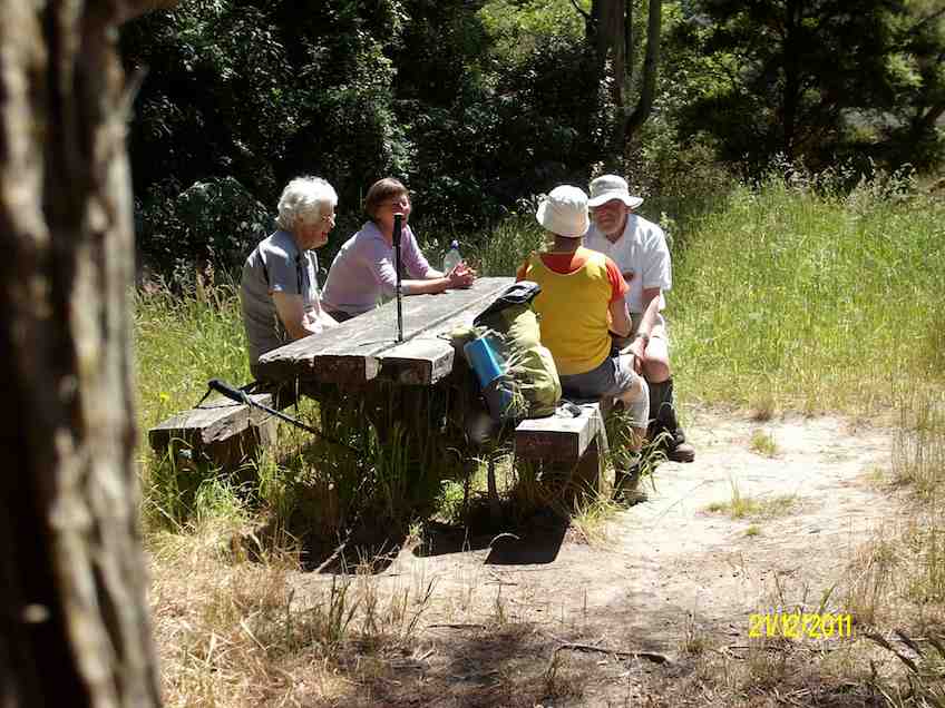
14. 21/12/2011. Trampers. John Bull and Millennium from Taieri Mouth.
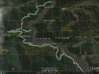
GPS. Taieri Mouth John Bull Gully Millennium Track. Courtesy Ken.
Lunch. (Ken pic and caption)
Lunch2. (Ken pic and caption)
13. 8/12/2010. Trampers. Taieri Mouth to Wardells’ Cottage, return. H.
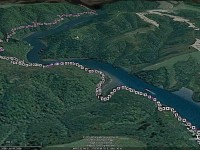
GPS of route, courtesy Ken.
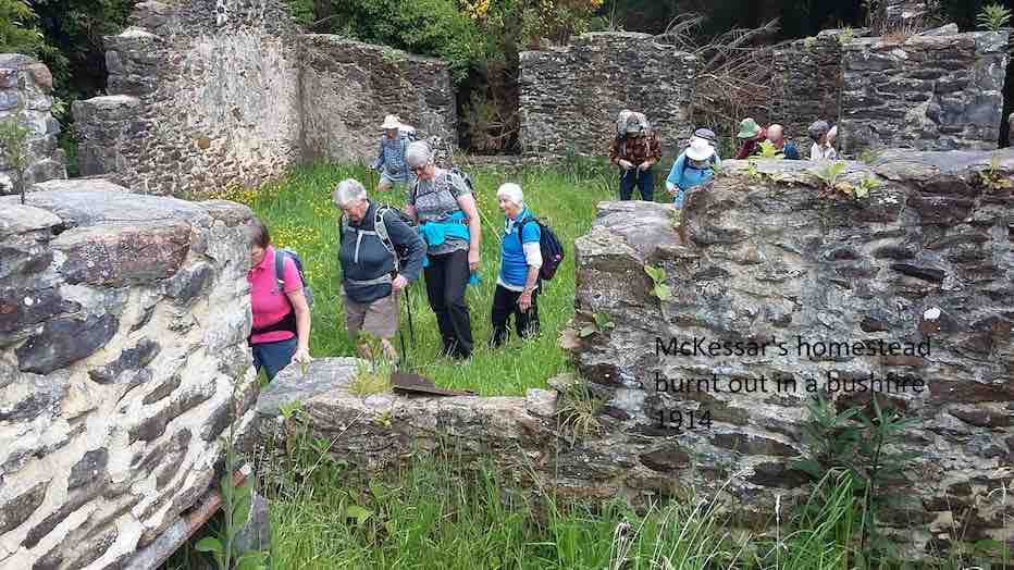
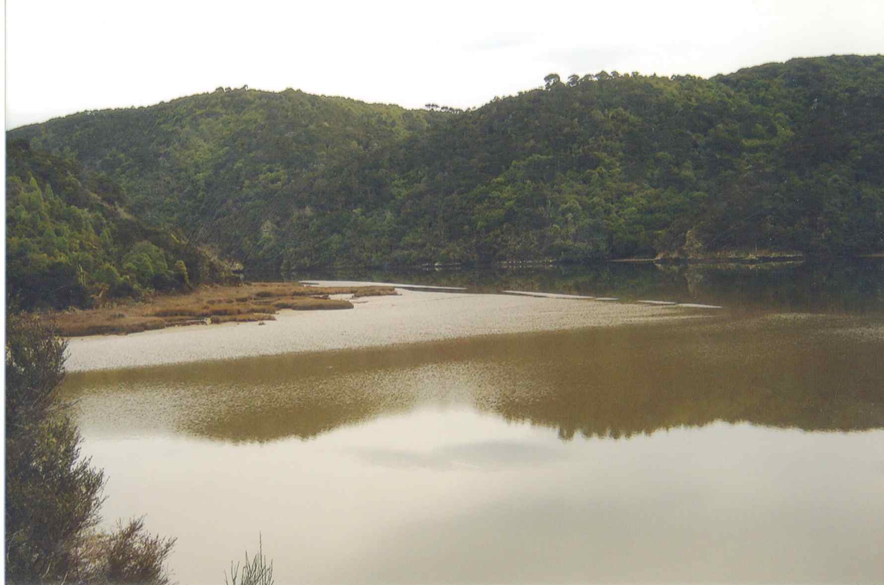
The day was a bit cold and windy with some promised rain. A vote taken at the Taieri River mouth bridge was two to one (the writer was the ‘one’) with two abstentions to do the more sheltered John Bull Gully track instead of the scheduled Akatore beach walk. Aerobically it was certainly more beneficial with its plentiful provision of ups and downs. Continuing on to the Millennium Track to Wardells Cottage as well provided us with an all-up 18 km work-out which we all enjoyed. There was some spring grass overgrowth in places and the odd fallen tree. Some scrub cutting had been started There was some school group or other on inflatables out on the Taieri.
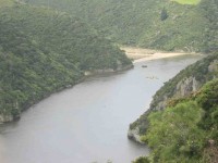
Distant shot of inflatables on river
12. 15/4/2009 Hikers. John Bull Track. Leaders: Lesley S, Bill H, Fred.
The hikers’ walk from Taieri Mouth on the John Bull track took a turn for the worse when 2hrs into the walk Elaine had to stop because of chest pains etc.
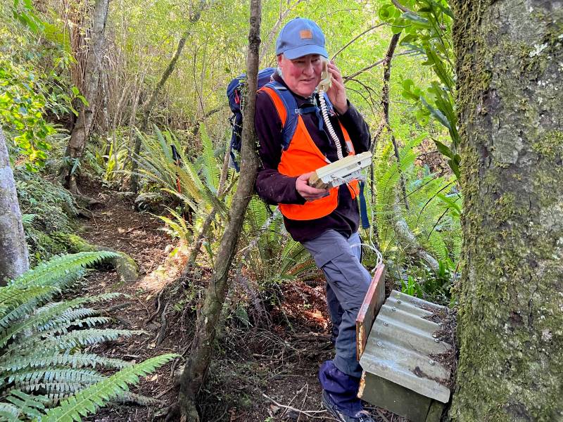
Leaving Elaine in the professional care of Bev, Lesley G and Neil, the remaining 10 carried on to higher ground to try and get cell phone coverage. This proved more difficult than anticipated and it took Lesley S to search for higher open area off the main track before finally making contact with the emergency service.
After the helicopter landed a paramedic ran down the track to where Elaine was lying. After her condition was checked and she was stabilized, she was attached to the paramedic and winched through a small gap in the bush canopy into the helicopter. – Fred
Morning Tea. Neil, Evelyn, Bob, Lesley, Chris, Fred, Margaret. (Elaine pic)
Calm Taieri. Lesley, Margaret, Evelyn, Les. (Elaine pic)
Taieri reflection (Elaine pic)
Update from Elaine.
Hello Ian
I have been overwhelmed with kindness from the tramp club since the event on the John Bull track.
Would you be able to convey my thanks to the members of the club who helped as a great team in my dramatic exit from the track which I don’t really remember.
The quick action of Bev, Lesley and so. I have found out the support of Neil in keeping me warm. And Lesley S who found cell phone coverage.
Chris who rang her husband in Brighton who linked it all together and the tramper who had the white shirts on that lay in the open area for the chopper.
ED at the hospital told me later that I was very lucky that I had had such great care.
They did a battery of tests – CT Scans but the last test I had was the Head Scan. (That was purely because I was a member of the TRTC – “Just joking” they said.) I had previously told them about the mad wet day that we did to Dr Point in the rain.
It has turned out great in the end. They said I can carry on tramping as usual next week If you will have me back?
Kind regards to every one – Elaine.
11. 16/5/2007. Hikers. John Bull from Taieri Mouth. Medium. Leaders: Dot B, Lesley G.
10. 15/10/2003. Medium. John Bull Gully from Taieri Mouth. Medium. Leaders: Jack and Rosemary.
9. 5/9/2001. Combined. John Bull Track. Leaders: Frank and Lesley, Pam.
8. 1/11/2000. John Bull Track. Leaders: Doug M, Hazel, Jean.
7. 16/6/1999. John Bull Track. Leaders: Lance and Lois, Judy C.
6. 18/11/1998. John Bull Track to river. Leaders: Dot B, Doug and Ngaire.
5. 8/7/1998. John Bull Gully and return. Leaders: Bev H, Bev McI.
4. 4/6/1997. John Bully Gully. Leaders: Joyce, Nancy, Eleanor.
3. 14/2/1996. John Bull Gully. Leaders: Dot and Eric.
2. 6/4/1994. John Bull Track, then over paddock to Waihola Road, back on John Bull Track. Medium. Les S, Bill H, Doug and Ngaire
1. 17/2/1993. Taieri Mouth Bridge to John Bull Flat. Average. Leaders: Eric and Dorothy, Joan H, Chris.
 Introduction:
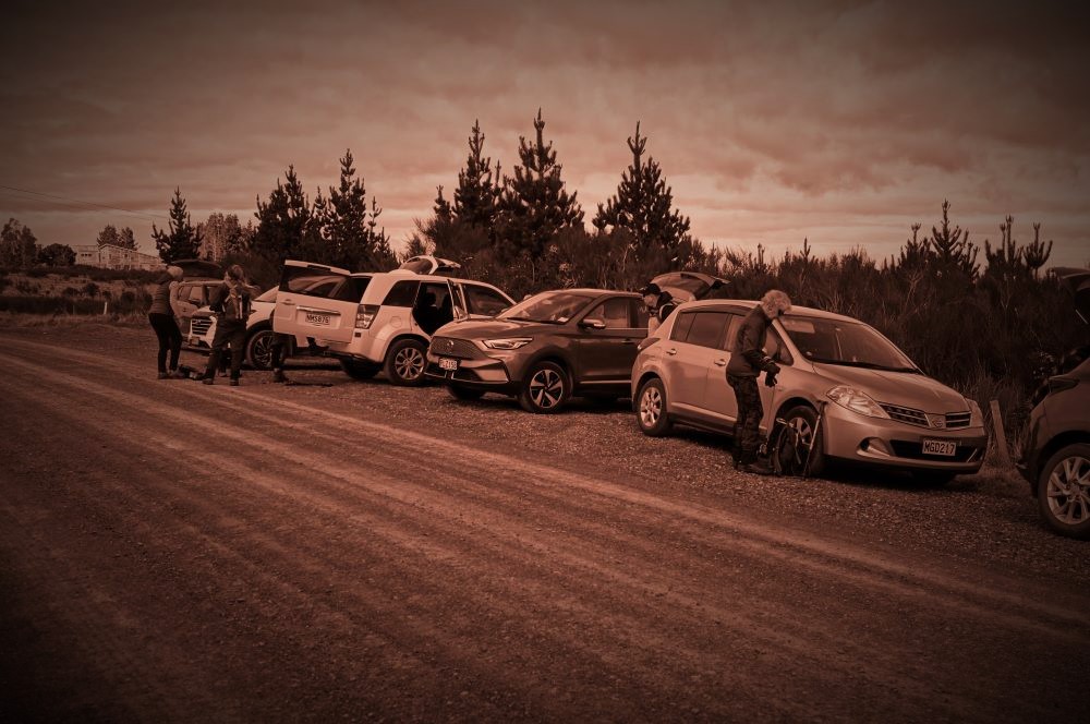


 43. 06/12/2023. Trampers. North of Tomahawk. Grade 3. $7. 22km. Leaders: Esther Willis and Julie McKenzie
 35. 22/11/2023. Trampers. Burns/Rustlers Ridge. Grade 4. 25km. Leaders: Phil Morris/Carolyn Pridham.