Nov 22 2023

Taieri Ferry and Finlayson Roads, Bells farm, Kennedys, Millennium.

Published by under Trampers,Year round

Read “Taieri River Geology” for some background information.

“Legends of the Lower Taieri” includes a section about John Bull if you persist in reading down far enough.


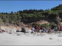
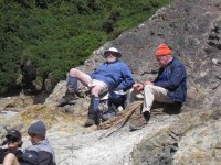
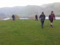
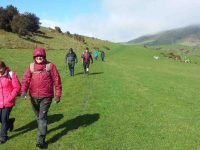
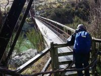
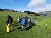
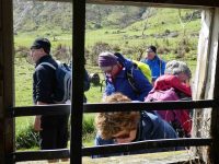
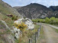
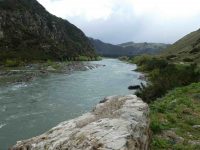
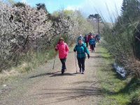
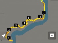
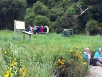
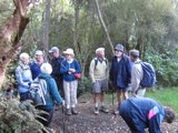
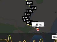
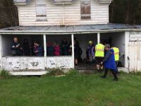
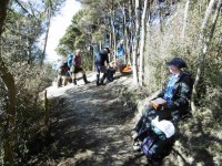
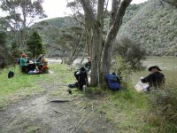
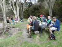
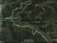
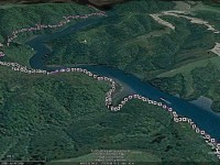
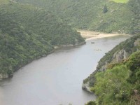
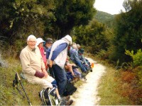
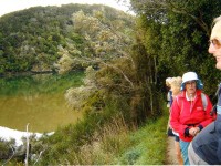
Img 8059 Res 10018. 22/11/2023.Hikers. Millennium Track from Henley Ferry Bridge. Grade 3. 27km. Leaders: Ady Whitson/Bruce Wright.

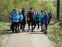
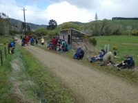
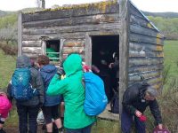
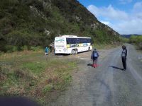
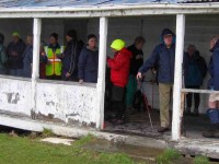
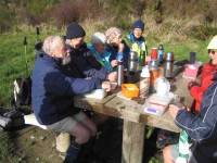
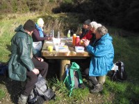
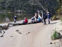
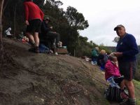
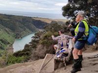
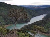
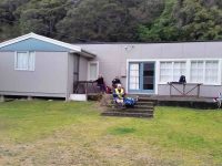
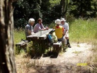
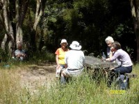
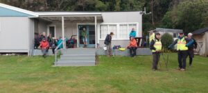
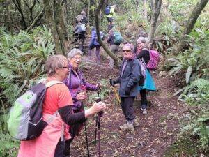
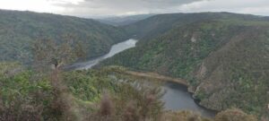
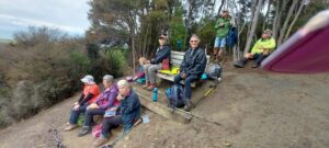
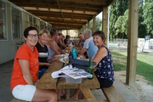
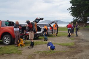
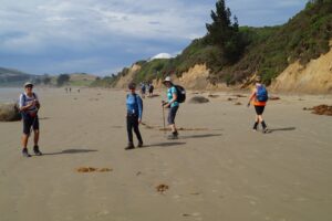
We had a great day on the track. Weather was great with 20 Hikers enjoying the day. We parked about 2/3 the way down the road from the stile. Continue Reading »

No responses yet

Mar 16 2023

Bannockburn Camp Day 5: Lake Dunstan Trail and Millennium Track to Alexandra.

Published by under Bikers,Camps

<<– Link to previous day

Wednesday 8th – Biking
Day 5: Biking Lake Dunstan Trail and Millennium Track to Alexandra.
Getting a bit more adventurous, so this was a big day for some. The logistics keep our coordinator on the ball with lots of options offered and only one trailer to pick up bikes.

Bannockburn day 5 starting at Alexandra Phil

Starting at Alexandra. Photo & caption Phil

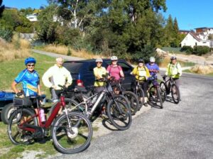
Some headed off from the camp to the Lake Dunstan Trail and others did the same but went down another 12kms on the Millennium track to Alexandra. Others started at the other end and came back, and a few did only the Millennium track. Everyone met at the Clyde Rowing club for lunch. It was perfect weather.

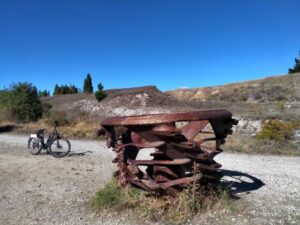
Bannockburn Sculpture on the trail Phil

Sculpture on the trail. Photo & caption Phil

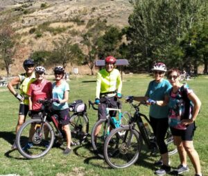
Bannockburn the bannockburn starters arrive Phil

The Bannockburn starters arrive; the following numbers to weigh in are… Photo & caption Phil

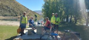
Bannockburn Day 5 Lunch in the sun Helen

Lunch at the rowing club. Photo & caption Helen

Link to next day –>>

No responses yet

Oct 02 2019

Bus Trip: Millers Flat – Beaumont rail trail / Millennium Track

Published by under Both Hikers & Trampers,Bus Trips

No. 111 on old hardcopy list of 113 club tramps. “Bus Trip. Walk Millers Flat to Beaumont”

5. 2/10/2019. Both. Bus Trip. Millers Flat/Horseshoe Bend – Beaumont. Rail Trail-Road/ORC Millennium Track-Road. M. Eleanore and Bob.

On a chilly spring morning, 45 members assembled at 8:15 a.m. eager to board bus and head Central for a walk along the Clutha Gold Trail.
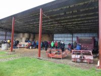
We arrived at the Island Block entry at 10:10 a.m., luckily to a convenient hay barn where we had smoko.

P.1. Is this a farm machinery sale? (morning tea out of the hail)c

Is this a farm machinery sale? (morning tea out of the hail). (Phi K. pic and caption.)

This was followed by a show of hands to see who was keen to layer up and head off in a shower of rain—17 accepted the offer to hike 3km round the hill track …

C.1) Starting off in a downpourc

Starting off in a downpour. (Clive pic and caption.)

C.2) 10 minutes later sunshinec

10 minutes later sunshine. (Clive pic and caption.)

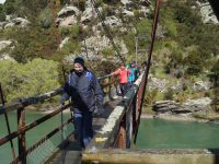
… to the Horseshoe bend swing bridge crossing the Clutha …

C.3) Horseshoe bend bridgec

Horseshoe bend bridge. (Clive pic and caption.)

…  to meet up with the rest of the group.
Meanwhile, we travelled to Millers Flat, crossing the Clutha and turned right heading back down the rather narrow gravel road (managed to meet a twin cab and trailer coming our way, he backed off and let us through).  We passed the Lonely Grave site, then soon after arrived at Horseshoe Bend.  Car Park was probably not designed as a bus turn, however, Wayne successfully manoeuvred his bus turn.
The majority got off in sunshine

G.2nd -- Some of the hardy lot heading to the swing bridgec

Some of the hardy lot heading to the swing bridge. (Gordon pic and caption.)

to head along the trail.  Looking back we spotted the first group hot on our heels.

JG.7c

(John G pic.)

The Ramblers were happy to enjoy the bus trip back to Beaumont where some intended to hike along from the bridge and back.  I also  heard a whisper on the bus, some were happy to try out lunch at the hotel.
We stopped for lunch

G.8th -- Where:when are we stopping for lunchc

Where/when are we stopping for lunch? (Gordon pic and caption.)

by a little old shed and cattle stop at 12:15 p.m. for half an hour firstly in sunshine,

G.9th -- Very handy lunch stop

Very handy lunch stop. (Gordon pic and caption.)

followed by another shower (Lots sheltered in the shed).

C.4) Lunch - no one wanted to eat inside this hut until the hail startedc

Lunch – no one wanted to eat inside this hut until the hail started. (Clive pic and caption.)

We all set off

G.10th -- Preparing to move outc

Preparing to move out. (Gordon pic and caption.)

enjoying looking at fresh bright willow leaves, healthy Hereford cows,

G.11th -- Some interested spectatorsc

Some interested spectators. (Gordon pic and caption.)

G.11th -- Some interested spectators pc79

the mighty Clutha,

G.12th -- A very full river not far from journeys endc

A very full river not far from journeys end. (Gordon pic and caption.)

blossom

C.5) cherry blossom hikec

Cherry blossom hike. (Clive pic and caption.)

and particularly the easy grade of the track.
We arrived back to the bus …

E.4.We made itc

We made it. (Eneanore pic and caption.)

… at 3.00 p.m. after a 14km (17km) trot along the trail.
Afternoon tea was pre arranged at the hotel for $10.  We were greeted with very friendly staff and a great spread, including scones with jam and cream!  YUM.  We thanked them and they thanked us for the business.  Was great to observe how happy everyone was enjoying catching up with each other.  Particularly, with Judy Knox, who was on her last outing before moving to Townsville.  I am sure you will come back and visit us Judy.  We sure will miss you!!
We arrived home about 5:15 p.m. after a great day out.  Thanks to the Club for subsidising the bus.
Eleanore and Bob.

Continue Reading »

No responses yet

Aug 09 2017

Millennium Track

Published by under Both Hikers & Trampers

Click !!!Taieri River Geology!!! for background information.

Wardells’ Cottage abt 25 km from car park.
High tides flood the access road and this has happened to us more than once. N.B. Programme Committee! Avoid high tides forecast near the the hours of 9.00 a.m. or 2.00-3.00 p.m.

17. 9/8/2017. Hikers. Millennium Track. Leaders: Bob and Lesley.
20 Hikers set out on this bush walk along the Taieri River. The usual wet portions were muddy following all the rain. There were a few small slips onto the track and a few bites out of the lower side, but all negotiable. The track was carpeted with leaves and twigs. Morning tea was at the usual spot down beside the river…

(Wyn pic.)

…and lunch at John Bull Gully.

(Wyn pic.)

This track with many silver ferns and birds is a favourite for many members. We ALL adjourned to The Black Swan for refreshments. – Lesley.

16. 29/7/2015. Hikers. Millennium Track. Leaders: Helen, Bev.
iPhone GPS route map

iPhone Nike app route map of Millennium Track trek.

Our day started with some rain so we had morning tea early at house at start.
Morning tea out of the rain

The 20 Hikers having morning tea out of the rain (John pic)

!!!Click here to get John’s video of us sheltering in the old house verandah!!!

By then the rain had stopped so had a lovely walk led by Helen at front and Bev at the back. Lunch in the ordered sunshine at the tables at John Bull’s gully.

Lunch (1) (John pic)

Lunch (1) (John pic)

Lunch (2) (John pic)

Lunch (2) (John pic)

Slight rain as we started back then the sun again.Nice to see the river through the trees with the leaf drop. Back to cars and through some water on the road. High tide.
Coffee at Wal’s ended our enjoyable day. – Helen

15. 5/10/2014. Both. Millennium Track. Leaders: Les and Margaret.
Tea break

Tea break

Lunch at John Bull Gully

Lunch at John Bull Gully

14. 24/7/2013. Hikers. Millennium Track. Leaders: Les and Margaret.
13. 15/6/2011. Hikers. Millennium Track. Leaders: George, Dorothy
12. 18/8/2010. Both. Millennium Track. Medium- Leader: Lesley St.
Four Trampers unable to do their tramp came with Hikers but walked further to the seat. – Ian
11. 9/9/2009 Hikers. Millennium Track. Medium-. Leaders: Evelyn, Graham
10. 21/1/2009. Hikers. Millennium Track.  Easy+. Hikers Leaders: Les, Margaret, Bev
9. 2/4/2008 Leaders: P McLean, L Gowans
Should we split up?

Should we split up?

Being the first tramp of the month, trampers and hikers combined to walk a good old standby, the Millennium Track down the Taieri River from the old Wardells house. It was a substitute for Berwick Forest which is presently difficult to gain access to. Although only 16 turned out, with many trampers noticeably absent, it was still a good day out, starting cold but improving. In spite of being a frequently used tramp, it’s a lovely piece of bush to take your time in and enjoy and the bird life is a joy to hear. A feature of the walk for the trampers was that 11 walked on beyond John Bull Gully to sample the recently broadened track as far as the seat at the high point of the track. The gradient had been realigned with all steps eliminated, sometimes however making for steep slopes. With the pine plantation gone, we were surprised to see that bullibulli

Bullibulli colonising the slop

Bullibulli colonising the slope

has largely colonised the area. A delightful surprise on the return walk was a juvenile harrier hawk (?)

Juvinile Harrier Hawk?

Juvenile Harrier Hawk? (But see comments below post.)

perched on a broken trunk which quite calmly allowed us to photo it. The 5 of us who chose to go just to the picnic spot by the river really had a very happy time, taking in the scenery, having our lunch and walking back to cars in a leisurely way. – Bev and Ian

8. 5/12/2007. Both. Millennium Track. Easy. Leaders: Lex, Dot T
Wood Pigeon nr track start

Wood Pigeon nr track start (5/12/2007)

Tea stop. Doug M, Neil, Bob H

Tea stop. Doug M, Neil, Bob H (5/12/2007)

Track through newly-cleared plantation. Doug M, Bill

Track through newly-cleared plantation. Doug M, Bill (5/12/2007)

7. 7/3/2007 Leaders: Evelyn C, Bob & Evelyn
6. 13/9/2006. Hikers. Millennium Track. Henley. Easy. Leaders: Lesley G, Chris
5. 19/10/2005. Both. Millennium Track from Henley. Leaders: Ray and Diana, Dorothy S
4. 12/1/2005. Hikers. Millennium Track, Henley. Leaders: Betty B, Dot T
3. 17/4/2004 Trampers. Millennium Track, Henley. Trampers. Medium. Leaders: Glenys P, Wendy B. Easy. Hikers: Jack & Rosemary
2. 7/5/2003 Both. Millennium Track from Henley. Easy. Leaders: Evelyn C, Wendy J, Ray, Les W
Reflections

Reflections

Bull Creek lunch. Evelyn, Bill, Lex, Doug Pat

Bull Creek lunch. Evelyn, Bill, Lex, Doug Pat (7/5/2003)

1. 21/8/2002. John Bull – Taieri Mouth from Wardells Henley. Medium. Leaders: Claude, Ian, Donny.

6 responses so far

Oct 05 2016

John Bull Gully Track and Millennium

No. 38 on old hardcopy list of 113 club tramps. “John Bull Track to River. J Shaw. Year Round”

Location: 31.8 km.

Click Taieri River Geology for background information.


17. 5/10/2016. Hikers. Millennium-John Bull; Taieri Ferry to Taieri Mouth. Bus at both ends. M. Leaders: Bob and Doug.
Map of route Taieri Ferry to Taieri Mouth. 3.3km Ferry Bridge to Wardells Cottage; about 5km to seat; about 3km to track end; about half km to bus at T.M. Bridge.

Map of route. 3.3km ferry bridge to Wardell cottage; about 5km to seat; about 3km to track end; about half km to bus at T.M. bridge.

Millennium Track – combined trip Wednesday 5th October 2016-10-05

A dampish morning did not deter 40 intrepid club members who boarded the bus at the Bush Rd car park promptly at 9am.  Packs were stowed in the luggage compartment and our driver Richard transported the happy crew out to Highway 1 and along to Henley and the start of the track – well, almost the start.  24 hikers disembarked in persistent light rain and trudged along the road for 45 minutes to a morning tea stop on the veranda of the white house just over the style, at the true beginning of the track.

The remaining 16 bods (and  the bus) departed for Taieri Mouth.


Sheltering from the rain for morning tea in the old Wardell's crib verandah.

Sheltering from the rain for morning tea in the old Wardell’s crib verandah.

The upward plod soon began and we were glad it wasn’t too hot.  The light rain continued but there was no wind and it was pleasant for tramping.  It was lovely in the bush with plenty of bird song and glimpses of the river below as we climbed.

A couple of solid hours saw us at the junction down to John Bull Creek, where it was unanimously decided not to descend, but to press on to the top for lunch.  Which we did, collapsing gratefully for welcome food and drink.  The rain had stopped and a pleasant break was had, with chocs to celebrate Alec’s recent birthday.

Lunch at the seat. Rain stopped at last.

Lunch at the seat. Rain stopped at last.

Lunch stop viewed from another angle.

Lunch stop viewed from another angle.

Then down, and down, with a few inadvertent sit-downs, and the loss of a couple of impatient members who tried to take the direct route….it was quite slippery.  No harm done, and we were soon back by the river for the last plod out to the road.  The bus parked by the bridge was a welcome sight.

Nine cheerful souls on the bus had had a pleasant few hours meandering round Taieri Mouth and catching up on gossip, and there was no sign of the hardy seven trampers.

Thanks to hiking leaders Bob and Doug and tramping leader Arthur.  It was a great day out, well-supported and enjoyed by all, and rounded off with a riotous session for coffee for 23 at Topiary.  – Judy.

Coffee at Topiary. 22 in the sun.

Coffee at Topiary. 23 in the sun.


16. 13/7/2016. Trampers. Millennium and John Bull from Henley. M. Leader:  Arthur.
Two cars transported 9 trampers to begin the day’s adventure. The mild temperature was welcome, the sky overcast with northerly breezes.
We left the car-park at 10.00 a.m. and waked for about 10 minutes, to have morning tea at the picnic spot on the riverbank.

Continuing on it was up and down, as the track flows, and then up to the high up seat where we stopped for a little while. This spot overlooks the river to advantage

Another river view. (Margreet pic and caption.)

Another river view. (Margreet pic and caption.)

and also views away to the north too.

View from the top. (Margreet pic and caption.)

View from the top. (Margreet pic and caption.)

For example, Mount Cargill stood out in all its glory, with its mast on top.

The track was now downhill, the trampers intelligently noting that it would be the opposite on the returning journey. We came to a small wind-blown tree across the track, but Neil M. wrestled mightily with it and it was a problem no more.

An hour after leaving the high up seat we reached the track’s end. We were invited to have our lunch outside at Jay’s nearby house (she didn’t have the key with her), which we found a most pleasant and suitable place. – Thanks, Jay.

Lunch on the verandah of Jay's Bach at Taieri Mouth. (Margreet pic and caption.)

Lunch on the verandah of Jay’s Bach at Taieri Mouth. (Margreet pic and caption.)

A half-hour’s lunch and rest stop, and the party was on the track again. Grim determination was noted now, and with little talking, a fast pace was set, and we were back at the high up seat in an hour uphill – the same time as it had taken going down.
It had just come on to rain, so a brief regroup was taken under the trees, coats on, etc. The view being ignored now, downhill, and we were back at John Bull gully – just as the rain stopped and the sun came out.
Up the zigzag, and along, and down, etc., saw us back a the car park at 3.35 p.m.
The DoC sign at the car park stated that it was 9.3 km to Taieri Mouth but Margreet’s electronic gizmo said that we had done 16.2 kms.
Whatever distance we walked, we can say very definitely that “we went there and back”. A satisfying day’s tramp.
Blustery wind and rain welcomed us back to Mosgiel. No time for coffee today! – Arthur (substitute leader for Helen – off sick.)

15. 9/9/2015. Trampers.  John Bull and Millennium from Taieri Mouth.
This tramp was done in place of the one scheduled, as I could not get permission from the farmer to do the tramp that was on the program.
Ten of us arrived at the Taieri Mouth car park, & set off along the riverside track. We had quite a late morning tea stop at the wooden seat at the top,…

Cuppa

Cuppa (Ken pic)

…before going down to John Bull Gully, where we had a short break. Then it was on along the Millennium track towards the Henley end. We arrived at the picnic spot down by the river, & had lunch there…

Lunch1

Lunch1 (Ken pic)

Lunch2

Lunch2 (Ken pic)

…before setting off to do the remainder of the track, though to Wardells Cottage, & the car park beyond. [just to do the full track distance]
After a short break here, it was back the way we had come. We stopped at the seat at the highest point again for a rest & refreshments, after climbing the quite steep track up from John Bull Gully. We then made our way back to the cars at Taieri Mouth.
The weather was fine all day, but the track was quite muddy in places, & care is needed on the downhill muddy slopes.
It was good to hear the comments from some, that they had enjoyed the walk.
Although many in the group had walked both tracks in the past, it was the first time that quite a few of us had walked the full distance, there & back.

Walked 16.4km; ave 3.8km/h; moving time 4h 15mins; climbed 760m. – Ken.

14. 21/12/2011. Trampers. John Bull and Millennium from Taieri Mouth.

GPS. Taieri Mouth John Bull Gully Millennium Track. Courtesy Ken.

Lunch. (Ken pic and caption)

Lunch2. (Ken pic and caption)

13. 8/12/2010. Trampers. Taieri Mouth to Wardells’ Cottage, return. H.

GPS of route, courtesy Ken.

The day was a bit cold and windy with some promised rain. A vote taken at the Taieri River mouth bridge was two to one (the writer was the ‘one’) with two abstentions to do the more sheltered John Bull Gully track instead of the scheduled Akatore beach walk. Aerobically it was certainly more beneficial with its plentiful provision of ups and downs. Continuing on to the Millennium Track to Wardells Cottage as well provided us with an all-up 18 km work-out which we all enjoyed. There was some spring grass overgrowth in places and the odd fallen tree. Some scrub cutting had been started There was some school group or other on inflatables out on the Taieri.

Distant shot of inflatables on river

12. 15/4/2009 Hikers. John Bull Track. Leaders: Lesley S, Bill H, Fred.

The hikers’ walk from Taieri Mouth on the John Bull track took a turn for the worse when 2hrs into the walk Elaine had to stop because of chest pains etc.
Leaving Elaine in the professional care of Bev, Lesley G and Neil, the remaining 10 carried on to higher ground to try and get cell phone coverage. This proved more difficult than anticipated and it took Lesley S to search for higher open area off the main track before finally making contact with the emergency service.
After the helicopter landed a paramedic ran down the track to where Elaine was lying. After her condition was checked and she was stabilized, she was attached to the paramedic and winched through a small gap in the bush canopy into the helicopter. – Fred

Morning Tea

Morning Tea. Neil, Evelyn, Bob, Lesley, Chris, Fred, Margaret. (Elaine pic)

Calm Taieri

Calm Taieri. Lesley, Margaret, Evelyn, Les. (Elaine pic)

Taieri reflection (Elaine pic)

Taieri reflection (Elaine pic)

Update from Elaine.

Hello Ian

I have been overwhelmed with kindness from the tramp club since the event on the John Bull track.
Would you be able to convey my thanks to the members of the club who helped as a great team in my dramatic exit from the track  which I don’t really remember.
The quick action of Bev, Lesley and so. I have found out the support of Neil in keeping me warm. And Lesley S who found cell phone coverage.
Chris who rang  her husband in Brighton who  linked it all together and the tramper who had the white shirts on that lay in the open area for the chopper.
ED at the hospital told me later that I was very lucky that I had had such great care.
They did a battery of tests –  CT Scans  but the last test I had was the Head  Scan. (That was purely because I was a member of the TRTC –  “Just joking”  they said.)   I had previously told them about the mad wet day that we did to Dr Point in the rain.
It has turned out great in the end. They said I can carry on tramping as usual next week If you will have me back?
Kind regards to every one – Elaine.
11. 16/5/2007. Hikers. John Bull from  Taieri Mouth. Medium. Leaders: Dot B, Lesley G.
10. 15/10/2003. Medium. John Bull Gully from Taieri Mouth. Medium. Leaders: Jack and Rosemary.
9. 5/9/2001. Combined. John Bull Track. Leaders: Frank and Lesley, Pam.
8. 1/11/2000. John Bull Track. Leaders: Doug M, Hazel, Jean.
7. 16/6/1999. John Bull Track. Leaders: Lance and Lois, Judy C.
6. 18/11/1998. John Bull Track to river. Leaders: Dot B, Doug and Ngaire.
5. 8/7/1998. John Bull Gully and return. Leaders: Bev H, Bev McI.
4. 4/6/1997. John Bully Gully. Leaders: Joyce, Nancy, Eleanor.
3. 14/2/1996. John Bull Gully. Leaders: Dot and Eric.
2. 6/4/1994. John Bull Track, then over paddock to Waihola Road, back on John Bull Track. Medium. Les S, Bill H, Doug and Ngaire
1. 17/2/1993. Taieri Mouth Bridge to John Bull Flat. Average. Leaders: Eric and Dorothy, Joan H, Chris.

One response so far

Apr 21 2024

Upcoming Trips

Published by under Both Hikers & Trampers

Link to Trip Organisation Guidelines for leaders and trip participants.
Link to Track Grading information.
Link to Copy of Trip Programme for printing.
Gradings are provisional and may change following recce. Distances are for road travel from Mosgiel car park. Costs may change with fuel price fluctuations and distance changes. This page has all current updates.
Last updated 7/04/2024.


Wednesday 24 April.
Trampers. Frasers Road/Southern Resevoir. Grade 2.5.
$5. 16 km.  Leaders: Gwenda Farqharson/Graeme Souter.
Hikers.       Graham’s Bush. Grade 3.
$8. 27 km. Leaders: Maria MacNee/Theresa White.


Beginning of Next Programme

Wednesday 1 May.
Combined.    Pyramids/Victory Beach. Grade 2.5. $10. 38 km. Leaders: Jenny Wilton, Alison Kim, Janette Abbot, Adrienne Ensor. Alex Griffin


Wednesday 8 May.
Trampers. Goldfields, Lawrence. Grade 4. $21. 81 km (distance PJP to Lawrence). Leaders: Anne Ward, Di Bezett, Lyn Keene.
Hikers. Macandrew Bay, Greenacres. Grade 2. $7. 24 km. Leaders: Jill Dodd, Katrina McKenzie.

Continue Reading »

No responses yet

Aug 16 2023

Mosgiel-Wingatui Area

Published by under Hikers

10. 16/08/2023. Hikers. Mosgiel Street Walk. Grade 1, $0, 9km, Leaders: Raewyn Keene, Helen Morris

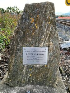
It was a little frosty as 14 hikers set out from Peter Johnson Park for a street walk till lunchtime. Along Reid Street to Factory Road, Church Street to Gordon Road, the pace was steady. As we approached the railway crossing (and unknown to some of us), was the plaque about our own Lester and his beautification efforts.

Leter's Pride -Helen

Lester’s Pride (Photo & Caption Helen)

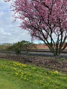
As we continued on to the old Mosgiel Railway Station for morning tea, it was great to see the daffodils & blossoms beginning to bloom, indicating Spring is not far away.

Spring has sprung early - Helen

Spring has sprung early (Photo & Caption Helen

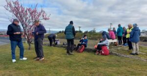
Morning tea - Helen

Morning tea (Photo & Caption Helen)

Refreshed and with the sun trying to shine, we headed off to Cemetery Road, ventured into the new Grange Lifestyle village as far as we could go, and back out to the underpass into Kinmont.

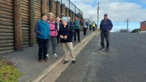
On Kinmont - Helen

On Kinmont (Photo & Caption Helen)

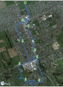
Some hill climbing was considered necessary to get our hearts pumping, so up Leith, Clyde & Braeside Streets we went. Back down to Quarry Road and left at Nellies, we looped back to our cars via Argyle Street & Bush Road.

Ross C joined us today and was apparently looking forward to a ‘flat’ walk (as advised by his lovely wife) – oops! Hopefully the friendly chatter along the way helped.

All in all, a pleasant morning’s walk, good company and 9kms achieved.

Map - Helen

Map (Photo Helen)

The Harwood hike will be rescheduled into the summer programme.

Helen & Raewyn

Continue Reading »

No responses yet

Apr 01 2023

Taieri Mouth

Published by under Hikers

No. 78 on old hardcopy list of 113 club tramps. “Knarston Park Sth Coast (Ask Jean Young) Farm”

Location: 31.5 km.


15. 29/3/2023. Millennium Track, Taieri Mouth.  Leaders Dave and Mike

I seriously questioned my sanity on the drive from sub tropical Port Chalmers to Mosgiel for this weeks walk. The torrential rain and hailstones on the Southern Motorway left me with a sense of foreboding. However, 17 hikers eventually assembled at the meeting place at Knarston Park on Taieri Beach for what turned out to be a really enjoyable walk with the predicted rain showers non-existent.

Morning smoko was held on the verandah at Jay’s river mouth crib where we could admire the house extension at one neighbouring property and the dismantling of a Kauri boat on another.

29 Mar Hikers Millenium Track morning tea Helen

Morning tea at Jay’s crib. Photo & caption Helen

From there it was a pleasant river side walk on the Millennium Track and boardwalks before starting the grunt up the hill to the welcome seats where we had lunch before re-tracing our steps back to the cars.

29 Mar Hikers Millenium Track On the track Mike

Millennium Track. Photo & caption Mike

29 Mar Hikers Millenium Track Taieri view Helen

View from the lunch seat. Photo & caption Helen

29 Mar Hikers Millenium Track Lunch Helen

Lunch. Photo Helen

Consensus of opinion is that the grade should be re-classified as a 3.5 as Sir Edmund Hillary got a Knighthood for climbing hills that steep. The return to the cars was achieved without mishap and tiffin was taken by some at the Brighton Cafe.

Thanks to Dave Roberts for leading at a leisurely pace that made the uphill sections enjoyable. Total distance walked was 9.5km

Mike Webb

Continue Reading »

2 responses so far

Mar 16 2023

Bannockburn Camp 2023- Hiking, Tramping and Biking

3 -10 March 2023. Bannockburn. Trampers and Hikers and Bikers. Leaders: Anne and Rod Ward.

The club planned a trip to Bannockburn for three days of tramping and three of bike rides. This all started on Friday 3rd of March with accommodation at the old Bannockburn school now run by the Otago Outdoor Education Trust. Accommodation was a mix of the old schoolhouse, an attached cottage and the barracks for boys and girls at the other end. Anne and Rod had a full programme of activities for the six days, including delegating the evening meals to teams for the first four nights, this included providing nibbles, main course, dessert, and home baking for supper.

Friday 3rd March – Day 0
Travelled to Bannockburn and settled into the camp. It was a beautiful hot afternoon/evening under the veranda soaking up the atmosphere. With rooms sorted some had a swim, others happy to watch. Team 1 prepared scrumptious ham, salads, etc as required for the duty team.

Bannockburn day 0 John

First night, settling in. Photo & caption John

Bannockburn Camp Helen Day 0

Bannockburn Camp. Photo Helen

Saturday 4th March – Tramping
Link to Day 1 tramping report: Kanuka Track and Trail to Old Cromwell Town.

Sunday 5th March – Tramping
Link to Day 2 tramping report: Kawarau River Track.

Monday 6th March – Tramping
Link to Day 3 tramping report: Bannockburn sluicings, Stewart Town and Long Gully Loop Track.

Tuesday 7th March – Biking
Link to Day 4 biking report: Bannockburn Camp to Smiths Way and return.

Wednesday 8th March – Biking
Link to Day 5 biking report: Lake Dunstan Trail and Millennium Track to Alexandra.

Thursday 9th March – Biking
Link to Day 6 biking report: Gibston to Arrowtown and Back.

Friday 10th March
All that remained to do for those who stayed overnight was to pack up, tidy up, and head back home.

Thanks to all cooking groups for preparing and organizing meals, that were varied and enjoyable, great menus for the week.

Also to all the drivers for ferrying us to various start and pickup points, your service was invaluable and very much appreciated.

Overall our accommodation was well suited for our tramping group. Bannockburn Outdoor Trust was very obliging to our needs. I’m sure we’ll return for more adventures.

Thanks, Anne

No responses yet

Feb 06 2022

Moeraki.

5. 2 February 2022. Combined trampers and hikers. Moeraki. Leaders Valerie Bell & Barbara Shackell, Jay Devlin & Bob Mitchell.

Twenty-eight intrepid beachcombers met together at an overcast Hampden Beach having carpooled up that morning – or camped overnight – and immediately had morning tea.

2 Feb Moeraki John starting out resize

Getting ready to start out (photo & caption John)

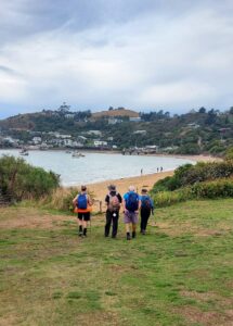
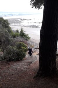
Low tide was 10.54am which permitted walking along the shore including around the rocky headlands for those who preferred, or joining the Millennium Track before the headlands and enjoying the bush area through into Moeraki Village.

2 Feb Moeraki John trampers on the beach resize

Life’s a beach (photo & caption John)

2 Feb Moeraki Helen stunning views resize

Stunning views (photo & caption Helen)

2 Feb Barbara Millenium Walkway

Millennium Walkway (photo & caption Barbara)

A third option was for those who might have wanted a shorter walk to just go as far as they felt comfortable with, and to meet back at the carpark in time to join everyone for afternoon tea at Vanessa’s on SHI in Hampden village.

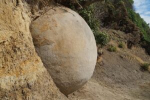
Some interesting rock formations were seen along the way and not all of them boulder formation.

2 Feb Moeraki John new boulder emerging

New boulder emerging (photo & caption John)

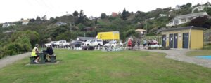
It was a beautiful day for the walk, not being too sunny and therefore hot, and not being so cool as to be unpleasant to sit in the playground area for lunch.

2 Feb Lunch stop at the Moeraki Village playground (1)

Lunch stop at the Moeraki Village playground (photo & caption Barbara)

2 Feb Moeraki Barbara View from lunch stop across Moeraki Harbour

View from lunch stop across Moeraki Harbour (photo & caption Barbara)

2 Feb Moeraki Helen lunch spot by Fleurs for 7 resize

Lunch spot at Fleurs on the grass for 7 of us (photo & caption Helen)

2 Feb Moeraki John seal sleeping on boat resize

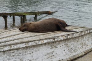
So many trampers! I’ve become ambivalent to them (photo & caption John)

At least one leader had assumed that the leading bunch of four women – who took to the headlands as though they were born to it – would continue past the two open eating establishments, past the now closed Fleurs, and up the Millennium Track to the lookout on the Hill above the bay.  That leader was mistaken, as she discovered, with the miscreants arriving back at the playground having eaten their Tavern bought Fish & Chips without taking the trek to the lookout!

2 Feb Moeraki John beautiful beach resize

Beautiful beach (photo & caption John)

After lunch, we straggled out along the beach to return to the cars and enjoy an efficiently produced afternoon tea at Vanessa’s.  Thanks to Dave R for the suggestion.

2 Feb Moeraki Ady Johns afternoon tea

John’s afternoon tea (photo & caption Ady)

Depending on the fitbit or app relied on, we walked between 12-14 km.

Leaders: Jay, Bob, Valerie & Barbara


Continue Reading »

One response so far

Sep 18 2019

Akatore Farm Walk or Beach Walk

Published by under Hikers

No. 78 on old hardcopy list of 113 club tramps. “Knarston Park Sth Coast (Ask Jean Young) Farm”
Akatore Farm permission required. (Ask Bob.)
Distance Livingstonia Park from car park: 31.5 km.
Distance Akatore Farm from carpark: 48 km
14. 18/9/2019. Hikers. Akatore Area. Leaders Bob Mitchell  Kathryn Fagg
On another lovely spring day we left Peter Johnstone carpark and met with Bob who had organised the hike at the cattle yards on his son Braden’s Farm at Akatore. 18 hikers walked up the road and stopped for morning tea on the roadside where the views were great. We then walked through farm land and down to the beach where we had lunch. Then on through a bit of water
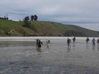
Jan.1c

(Jan B. pic.) One of her own, sent when she noticed no one else had sent one.

… and followed the creek around …
Jan.2c

(Jan B. pic.) One of her own, sent when she noticed no one else had sent one.

… up to the road.
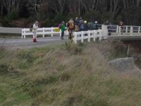
Jan.3c

(Jan B. pic.) One of her own, sent when she noticed no one else had sent one.

We then had a nice climb up the road until we arrived back at the cattle yards.  It was an 8.5 k walk with roads, farmland, beach, water and a nice climb and then we finished off at the Brighton Cafe. – Kathryn.

13. 15/3/2017. Hikers. Akatore Farm, Stream and Beach. H. Leaders: Bob and Lesley.

Route Map, courtesy Clive. Cars parked up from lunch spot. Distance walked: about 8.5 km.

Bob lead 24 Hikers down the road to the bridge over the Akatore River,where we sat in the sun for morning tea.
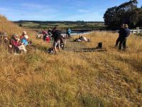
Morning tea across the Akatore Bridge in the sun. (Ian pic and caption.)

The tide was low enabling us to walk along the estuary,to the coast.This included a few moments of rock hugging,with many helping hands to get around a bluff.
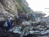
Rock hopping and climbing. (Clive pic and caption.)

A few people declined and returned to the road,to be picked up by Braden,Bob son,on his farm “mule”and some rejoined the group.
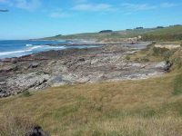
Akatore Creek mouth. (Clive pic and caption.)

It was a clear,sunny day,with little wind and the journey along farm tracks,above the rocks,was good hiking.We lunched and explored at a private beach, …
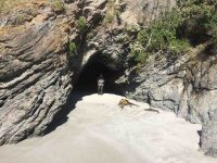
Kevin emerging from a cave on the beach at the lunch stop. (Ian pic and caption.)

… then climbed the hill back to the cars,completing about 9km.
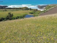
It’s all uphill after lunch. (Clive pic and caption.)

It was a different route on a favourite area,enjoyed by all, with coffee at Wals. – Lesley.

12. 5/10/2016. Trampers. Akatore Farm and Beach. E. Leader: Arthur H.
The windscreen wipers worked away as the bus took us for our tramps, the Hikers being dropped off first to walk the Millennium Track from the Henley end.
The Trampers were taken to Taieri Mouth, and then down the Akatore Road to the Taieri Beach Road, where we dismounted.
It was right on 10 o’clock, so morning tea was attended to as the first priority. A convenient ledge sheltered us from the cool breeze and light rain.
We walked down a long paddock to reach the sea. The paddock being recently cultivated was quite sticky from the rain. Our boots grew in size somewhat.

It was quite a relief to reach a lovely sandy beach, with the tide well out.
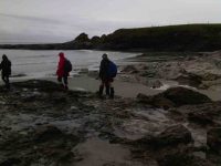
Down on beach copy. (Helen pic and caption.)

Down on beach copy. (Helen pic and caption.)

Turning right, we headed south, aiming for the mouth of Akatore Creek. The light rain was easing off slowly and after a while desisted altogether.
Along the beach, then it was up in the paddocks briefly to avoid a difficult patch of rocks.
It was most pleasant following the coastline. Interesting rocks, some small sandy beaches and sandy patches interrupted the mostly rock.
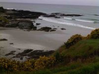
Lovely beach. Helen pic and caption.)

Lovely beach. Helen pic and caption.)

Quite a lot of bird life was evident – lots of seagulls of course, oyster-catchers, pied stilts, a pair of terns overhead, and paradise ducks out in the paddock.
After inspecting an interesting cave, we had to climb up to the paddocks for a little. Descending again, we had a nice grassy strip of grass to follow, above the rocks.
We came to the Akatore Creek mouth at 12 noon. It was almost low tide, and with a considerable flow of water exiting the creek.

Lunch was partaken of in the shelter of a steep bank, with some lovely yellow flowers about The breeze was quite light, but cool.
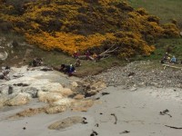
Lunch spot at Akatore Creek. (Helen pic and caption.)

Lunch spot at Akatore Creek. (Helen pic and caption.)

The next leg of our journey wass uphill through the farm paddocks. A large mob of very friendly dairy heifers followed us along the fenceline as far as they could.

At the top of the hill we devoured a little to the left to get a good view looking down onto the Akatore estuary and environs.
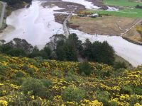
Road and tidal area. (Helen pic and caption.)

Road and tidal area. (Helen pic and caption.)

Out onto the road, we followed it for two kilometres to arrive back at our starting point at 1.35 p.m.

A little early for the bus, we walked the road to Taieri Mouth. Downhill was easy. A very friendly pet lamb wanted to join our group after escaping from his paddock. But we had to be firm! Near the Taieri Beach School is an animal park (closed) where we glimpsed various species, including alpacas, geese, deer and ostriches(?).
We kept walking along the road, not so enjoyable but many interesting houses and backyards could be viewed in Taieri Mouth. Eventually we came in sight of the bridge over the Taieri River and the bus parked at the southern end of it.
The Trampers came to the bus at 2.45, soon after the Hikers had finished. There had been seven in our group today, our distance travelled: 14.5 km maybe(?) (using a small-scale road map to estimate from) – please come back soon, Margreet!
The bus delivered us all back to Mosgiel, after which may invaded “Wals”, creating mayhem with the tables, but it was a good finish to the day. – Arthur.
11. 23/9/2015. Hikers. Akatore Farm and Beach. E. Leaders: Bob and Leslie.
Twenty-nine of us parked at the farm’s stock yards and walked back north along the road to enter a neighbouring property, go through past the homestead, out into paddocks and down to the coast for morning tea.
<Click here to see a video John took of our morning tea spot beach side area>
A rocky knoll tempted two or three of us to climb it and view the surroundings from there.
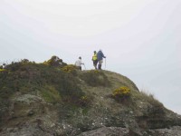
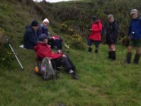
On top of knoll. (John pic)
On top of knoll. (John pic)

View from knoll. (Bob pic)

View from top of knoll. (Bob pic)

We climbed back out, this time heading south parallel to the coastline through paddocks, some grassed and one being freshly being turned over with a large six-furrow plough. We walked for a while down along beach and rocks …
Down to beach
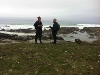
Down to beach

A seaside conversation

A seaside conversation

… before being obliged by the high tide to return up the the paddocks. Eventually we reached the Akatore mouth. And what a sight. What had formerly been a gentle rock-hugging stream was now a wide mouth of breaking surf from the near side right across to the farther one.
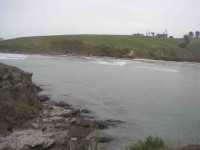
New Akatore mouth 1. (John pic)
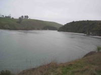
New Akatore mouth 1. (John pic)

New Akatore mouth 2 (John pic)

New Akatore mouth 2 (John pic)

No beach, or none at this tide level. Bob led us along the outside of a fence upstream just a little to descend a steep back to a new beach where once the stream had flowed. He had provided us with a huge hawser rope tied to the fence and lengthened at its end with a strapping belt stretching right down to the new beach.
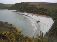
New beach. (John pic)

New beach. (John pic)

With its aid, we all made our way safely down the cliff-face, …
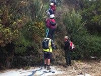
2nd descent

2nd descent

… each doing so in our own fashion.

We lunched there, finding seating on lumpy dry marram grass, on the new beach of sand that must have been metres deep. What a powerful transformation the high seas had made of the old mouth we had become accustomed to.
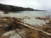
New stream mouth

New Akatore mouth (See below in 2011 report, click on video of old creek mouth)

After lunch, Bob led us up the true left edge of the stream along an edge made very narrow with an ebbing tide that still had a long way to retreat. At the first point there was no option but to make one’s way around rock still surrounded by shallow water. Never mind. The rest of the way was dry, if pebbled with rocks larger and smaller in places, sandy in others. We made our way then up to the bridge where Bob introduced us to that steep road climb that takes one right up from sea level to the top where the road first turns down. It made for a good workout, giving hikers with their varying energy levels the chance to brave the climb at their own pace. However, beside the rope provision back at the lunch stop, behold there had also been Bob’s ute sitting down at the bridge for any who didn’t relish the prospect of the climb. But bravo, no one took it. And Bob was noble enough to leave it standing there, true to his leadership role, and climb with the rest, with the intention of  walking back down later to retrieve it. Noble? Would might even say silly not to enjoy ride back up in triumphant style. Painful certainly, this reporter imagines. It’s a long hill climb to the top. Good on yer, Bob.
(It was too bad the ‘Nike + Running’ app fell over in a big way and has had to be re-down-loaded, – so no GPS record this time). This was a most interesting tramp, a replacement for the original one that had to be abandoned due to lambing. We all enjoyed the experience of a route the club had not done before, now made possible by the mighty changes the ocean had wrought on the Akatore’s mouth, and exploited by Bob. So thank you Bob (and sister Leslie!) for the planning and the advance provision of rope and ute. Great leadership! – Ian.
10. 26/11/2014. Hikers. Akatore Farm and Beach. E. Leaders: Leslie and Bev.
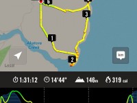
GPS of route
GPS of route


Cuppa - John

Cuppa. (John pic)

Lunch panorama

Lunch panorama. (John pic)

Got comfortable yet?

Comfortable? (John pic)

Chicks

Paradise Duck Chicks in pond.

26/6/2013. Trampers. Livingstonia Park to Akatore. Beach Walk.

On a day that could’ve turned to rain, [according to the forecast] 8 trampers turned up for the walk from Taieri Mouth to Akatore. This is a challenging walk over the beach rocky outcrops, with some easier sandy sections for good measure. In some places it is safer to take to the farm paddocks to bypass some deep splits in the rocks. We had morning tea at the carpark before leaving, as it was already 10am, then headed off down the beach. We reached the river mouth at about 12:30, & went in search of a sheltered spot to have lunch, as a bit of a wind had come up, making it a little unpleasant.
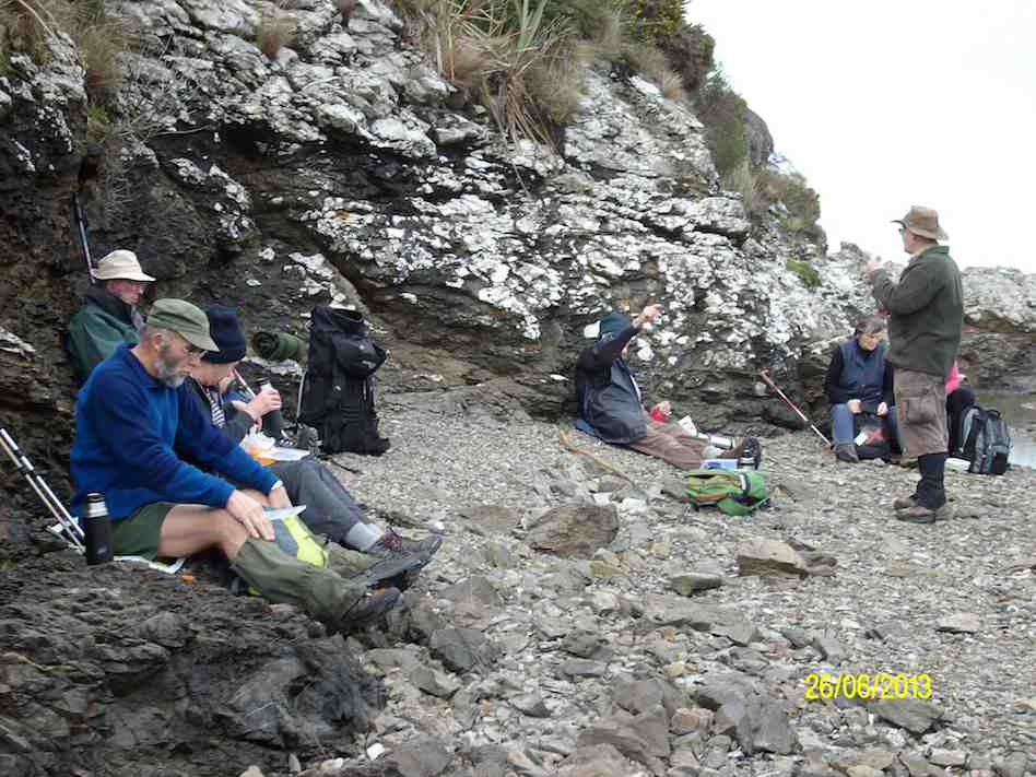
Lunch at Akatore River mouth. (Ken pic and caption)

Lunch at Akatore River mouth. Pic has Pat obscured behind Eric. (Ken pic and caption)

We then retraced our steps, with two of the group deciding that the farm paddocks offered a better route back again. The rest of us did some beach, & some farm walk back to the cars, which took a bit longer than the outward trip due to tiredness creeping in. We arrived back at the carpark at about 4pm. (13.9km, 3hrs 44min, moving ave 3.7km/h.) – Ken

9. 8/2/2012. Hikers. Akatore farm walk. Akatore Rd about 5 kms from Taieri Mouth. Leaders: Bev, Chris.
8. 30/11/2011. Trampers. Taieri Mouth Livingstonia Park to Akatore. Beach walk. 
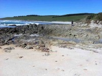
Welcome smooth sand ahead after extensive rock hopping …

… but more rocks ahead.

<Click to see this video of the Akatore stream mouth in 2011>

<Video of kelp in swell firmly anchored on the rock.>

Five Paradise duck-lings in a farm pond. Couldn’t detect the sixth.

7. 15/4/2009 Trampers. Taieri Mouth Livingstonia Park to Akatore. Beach walk. Leader: Ria.
12 of us made the trip. A bit of a struggle for one or two but we all got there. Here George poses as an Indian shaman(?) in front of a cave.
click to enlarge
A Shaman? George

George

There were places where we had to clamber up to the paddocks before descending to the rocks again.

Bank climb Ian, Shaleen, George

Bank climb Ian, Shaleen, George

This was a very narrow squeeze.

The narrowest squeeze. Wendy at back

The narrowest squeeze. Wendy at back

The trip was well-timed, with low tide after 1.00 p.m. so there was room for plenty of rock work clambering …

A clamber

Difficult descent. Pat, Ken, Joyce, Bill, Shaleen (in mid-flight), George, Doug

and beach sand. This is where we stopped for a pleasant cuppa.

Tea break

Tea break. Lex, Ria, Bill, Pat, Wendy, George, Bob.

Five lunched down at the Akatore mouth, the rest content to dine in the paddock above.

Pat, George, Bill, Doug

Pat, George, Bill, Doug

The five “down at the mouth” are just visible from the paddock.

Akatore mouth from paddock

Akatore mouth from paddock. Ken, Shaleen, Doug, George and Ian at rear.

Here is just one of the ponds as we made our return, this time largely over paddocks.

Part of paddock walk

Paddock walk return. Doug, Ian, Bill

Careful rock clambering challenged some, and for others the distance was a bit of a stretch. But it was another successful day with the weather remaining kind. – Ian

6. 6/2/2008 Taieri Mouth Livingstonia Park to Akatore Beach walk. Trampers. Leaders: Ria, Hazel.

Lunch stop at Akatore Stream mouth. Leonie, Keith H, Tash, Lex

Lunch stop at Akatore Stream mouth. Leonie, Keith H, Tash, Lex

Tramp Report for Wednesday February 6th 2008

A beautiful day greeted 16 trampers as we met at Livingstonia Park for the start of our walk from Taieri Beach to Akatore. Our leaders were Ria Lippers and Hazel Leslie who had done 2 recces to make sure they had it all under control as it was the first time the Taieri tramping club had done this walk.
Tea Break. Doug M, George, Keith, Glenice, Joyce, Pat, Bill, Ria

Tea Break. Doug M, George, Keith, Glenice, Joyce, Pat, Bill, Ria

Tea Break. Who?, Tash, Keith H, Lex

Tea Break. Carol, Tash, Keith H, Lex

It turned out to be quite an adventure as we scrambled up and down rocks between the lovely bays that stretched all the way along this stunning Otago coastline. The tide was at a tantalising level as the more adventurous felt it was possible to get round, while our leaders took the more secure upper route along the cliff top. It was great to have the choice. We had lunch where the Akatore River reaches the sea, an enchanting spot with crystal clear water and white sand. George had a paddle in the water and we all relaxed in the sun. The tide was coming in, so most of the way back was along the top grassy pathway, but we did manage to go along some of the wider beach areas. As we descended the rope walkway back down to Taieri Beach we were so surprised to see so many people sunbathing and swimming, all taking advantage of the amazing Waitangi Day weather. Carol and I couldn’t resist a quick paddle before returning to the cars where everyone was waiting for us !! – Tash

5. 6/2/2008 Taieri Mouth to Akatore Beach walk. Hikers. Leaders: Ria, Hazel.

Beautiful day for a beach walk when 12 hikers parked their cars at Knarston Park. The tide was out so we were able to walk south along the beach for quite some way before having to go up a rope walk to the grass area above beach to get past an outcrop of rocks. Then back down onto beach and time to sit and relax with our morning tea. Such a lovely day and so clear, the views were great and sea bird life interesting. On down the beach until we came to another outcrop on rocks that for us, was impassable and we couldn’t find a place suitable for us to climb up to top. So we decided that although it was a bit early we would have our lunch and sit a bit longer than usual, just soaking up the scenery and views. Watched the tide gradually coming higher up a little inlet, examined some interesting seaweed and heard about some of the bird life from our expert, Lesley G. 12 happy hikers wandered back to cars along the beach mostly and all agreed we’d had a very relaxed and pleasant day.- Bev.

4. 26/2/1997 Akatore South Side. Leaders: Jack M, Hugh, Mary L.
3. 7/8/1996 Akatore Farm Walk. Average. Leaders: Jack M, Jean A, Ria H
2. 9/2/1994. Akatore. Medium. Leaders: Jack M, Eleanor, Judy & Rob
1. 30/1/1991 Akatore Forest Walks. Leaders:
No responses yet

Nov 19 2008

Taieri River track (true left,) downstream from Taieri Ferry Bridge

Published by under Both Hikers & Trampers

Click Taieri River Geology for background information.
29/11/2008. Taieri River track, (true left,) downstream from Taieri Ferry Bridge


Ian's Hat

Ian's hat. Doug Abe Sabina Bill
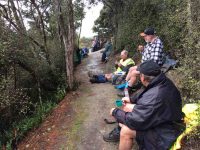
We parked Bill’s car on the south side of the Ferry bridge, walking back over it to begin the track. Continue Reading »
No responses yet