Mar 23 2016
Nicols Creek Bridge, Morrisons Burn, Poleline Road, Swampy, Nicols or Pineapple.
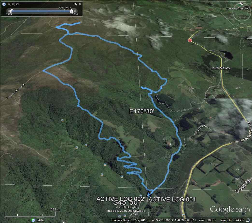
Morrisons Poleline track Swampy Moon track. (Caption/route map courtesy Ken)
We parked on the Leith Valley Rd. by the entrance to the Glow worm track, then walked up the road to the bridge over the Morrison Burn.
The day started off cool, but fine, & the track condition was quite good. We climbed under the barrier at the locked gate on the bridge at the start, & made our way up to the weir,
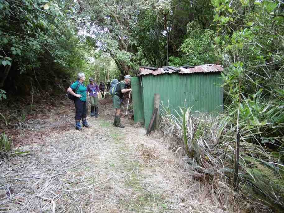
1 Curiosity (Ken pic and caption)
then backtracked to where the track went uphill through the bush. After morning tea break,
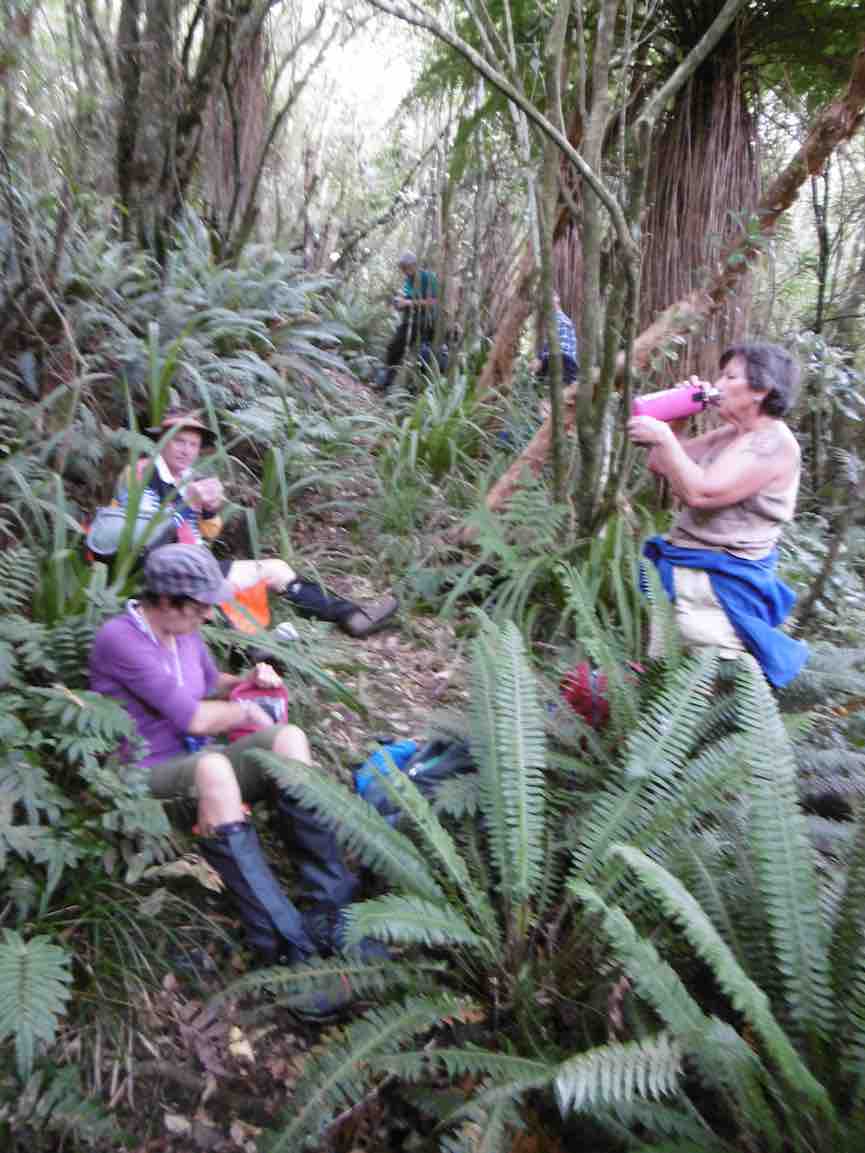
2 Morning tea (Ken pic and caption)
we carried on until we came across a gravelled road, where we took the wrong way!! We soon discovered our mistake, & walked along the road to where the track started again up through the bush. This eventually led us onto the Poleline track that goes up to the top of Swampy. We had lunch sheltered from the wind by the building at the top of the Leith Saddle track, then retraced our steps back …
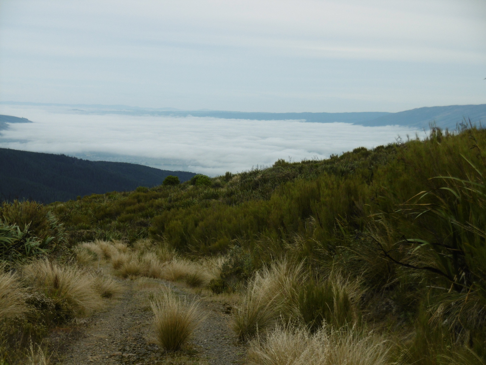
3 Fog over Mosgiel from Swampy (Ken pic and caption)
… to the junction of the Poleline track & the Swampy Ridge track, where we turned off, & made our way along to the top of Moon track. We had a short stop here before heading off down this very badly rutted [damaged by mountain bikes] & rough track into the bush again where there is a multitude of mountain biking tracks, winding back & forward making it hard to know which track to take. So we just kept looking for tracks that went downhill, & eventually we ended up on the Leith Valley Rd. about 150mtrs from the cars.
An interesting day, & a tramp that a few had not done before, & all agreed that it was a good walk.
Walked 12.8km
Ave speed 3.9km/h
Moving time 3h 18min.
Climbed 658mtrs. – Ken.
5. 19/8/2009. Medium. Morrisons Burn, Morrisons Track, Poleline Road, Swampy, Pineapple, Nicols Creek. Medium. Leaders: Keith and Glenice

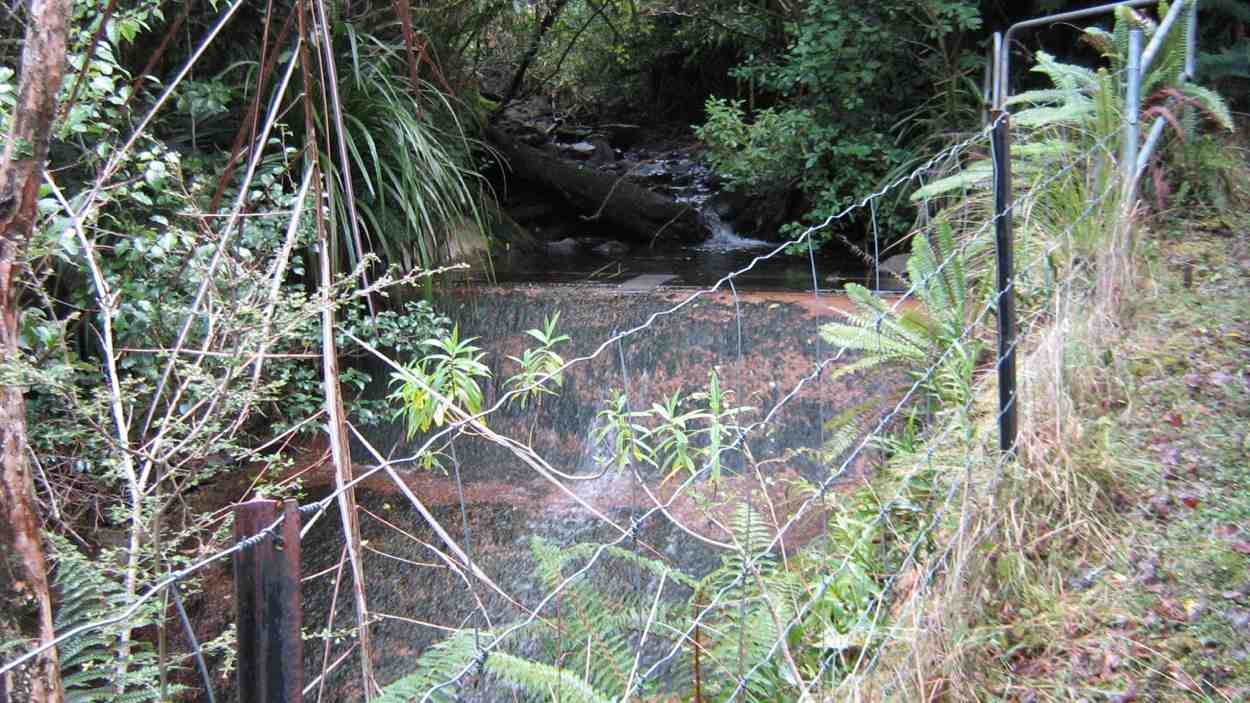
Upper of three water supply weirs
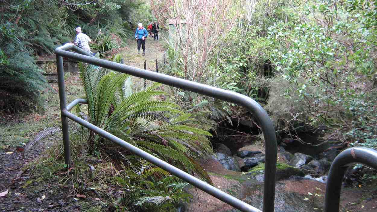
Looking down from weir. Keith, Hazel, Bruce, Ria

Swampy track south towards Flagstaff
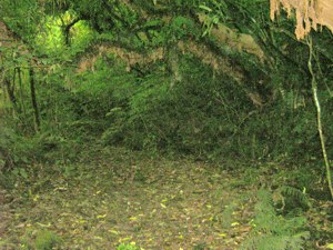
Greenery on Morrisons Burn Track

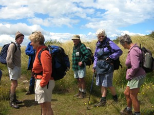
Junction of Swampy with Nicols Creek Tracks. Hazel, Ria, Pat, Ken, Doug M, Lex
by common consent Lex took the 10 of us on to the Pineapple Track
Junction Swampy, Pineapple Track. Lex, Ken, Pat, Doug M, Hazel, Wendy
descent to break away from it further down at a stone cairn to cut across the cocksfoot on the left to the bush edge. This provided heightened interest as it had not been reconnoitred but Lex cleverly located the track that led down through the bush and across back to Nicols Creek track. The day had begun overcast and actually rained a few drops after lunch, but got really hot during our concluding descent to the cars. A good way for it to happen. – Ian
3. 16/1/2008. Trampers. Nicols Creek, Swampy, Morrisons. Medium. Leaders: Lex, Tash.
2. 16/5/2007. Trampers. Morrison Falls. Return Nicols Creek. Moderate. Leaders: Lex, Tash.
Hi
I am trying to find the following place mentioned in Bill Davidson’s Memories which I read at the Hocken Library as there is mention of my partners family living in ………………..there is a small house and some sheds high up on the right hand bank of Morrison’s Creek reached by a long steep sledge track. Starting from the left hand side of Stony Ford Bridge. From my childhood I think Stony Ford Bridge is the one which you drive “up to” from Leith Valley and then it goes downhill hard left off the Bridge is the Moonlight Track?? Can anyone help??
Glenda x Leith Valley born and bred