30 km from car-park. No permission needed to reservoir. Cedar Farm: Seek Permission DCC Forestry.
29. 31/01/2024 Mihiwaka/ Mount Kettle. Trampers Grade 4 Leaders: Pam and Diane
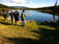
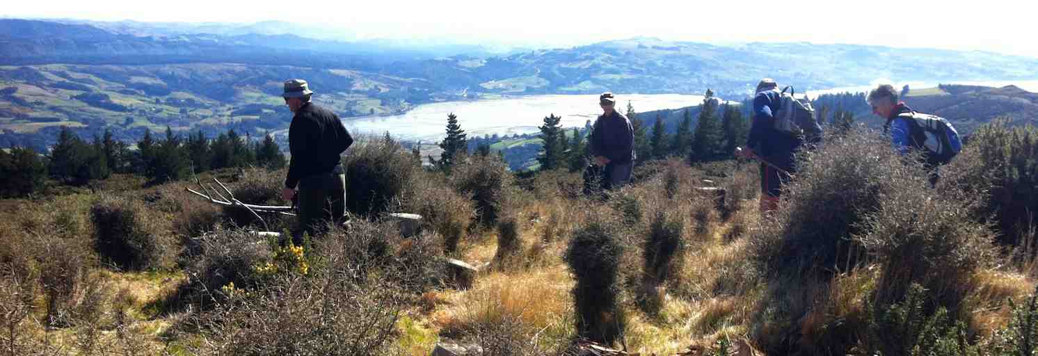
 11 trampers left PJ Park at 8.45 and meet up with 5 Dunedin trampers on Borlases’s Road, Port Chalmers. We continued onto Blueskin road in misty weather which got thicker as we drove up to park 1km north from Cedar Farm Forest carpark (CFF) A car was left at CFF carpark to ferry drivers back to their cars at the end of tramp.
9.40 we set off up Mihiwaka track (561 m above sea level) – entrance is by a culvert which is marked by an orange stake.
The single file track started with a steep ascent, through native bush with lush ferns covering the track making it indistinct at times.
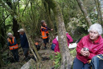
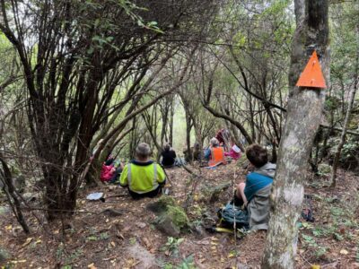
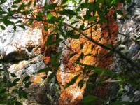
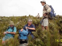
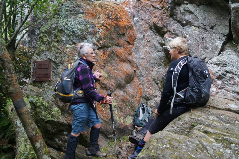
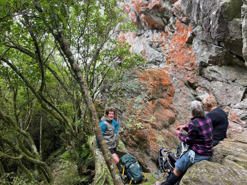
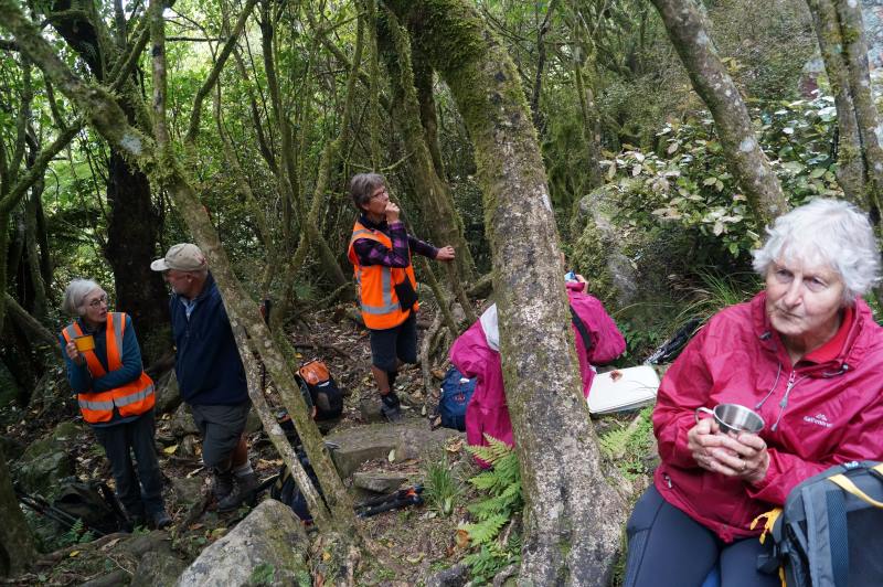
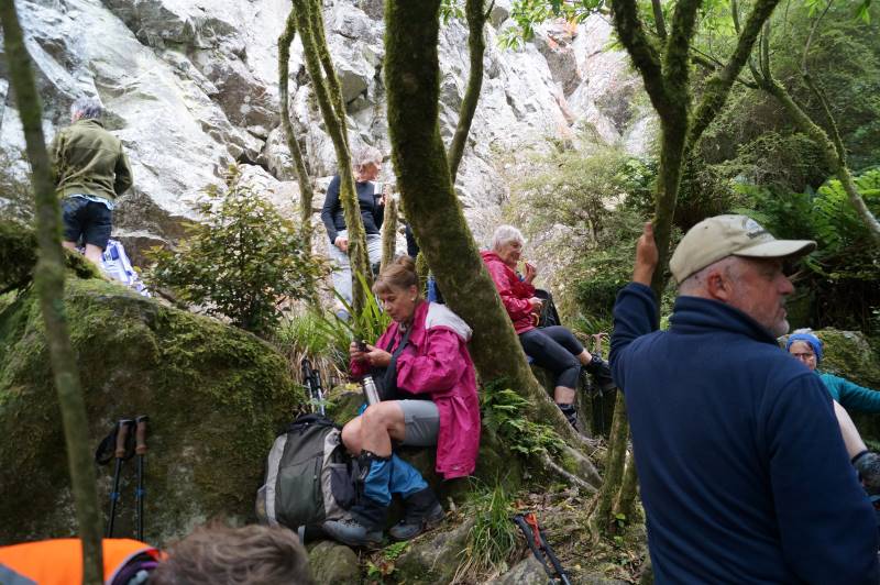
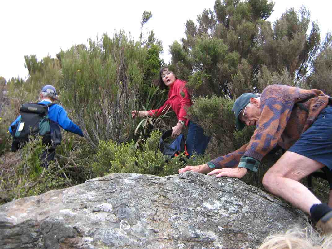
20 mins on we arrived at the huge rock face – a crag for rock climbers- where we stopped for early morning tea.
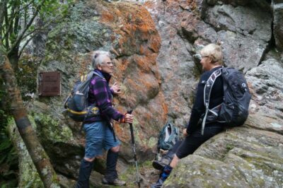
Glad we don’t have to climb this! Caption and photo John

Resting at the base of the large Rock Face. Caption and photo Pam
Morning tea’s OK if you hold your cup on an angle Gwenda. Caption and photo John
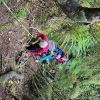
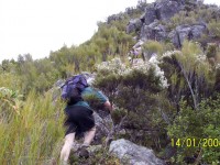
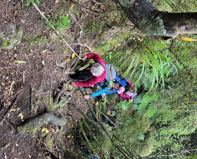
Continuing up the northern end of the rock face we ventured up the side of it with lots of tree roots to use as hand holds and with the help of a temporary rope, secured by Graham T, we hauled ourselves up to the rocky knob.

Climbing up the vertical rock face with the aide of the rope. Caption and photo Pam
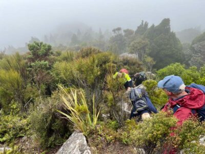
Unfortunately, the mist was very thick and no views to have but for ever hopeful that it would lift by the time we reached the top.
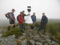
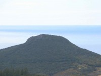
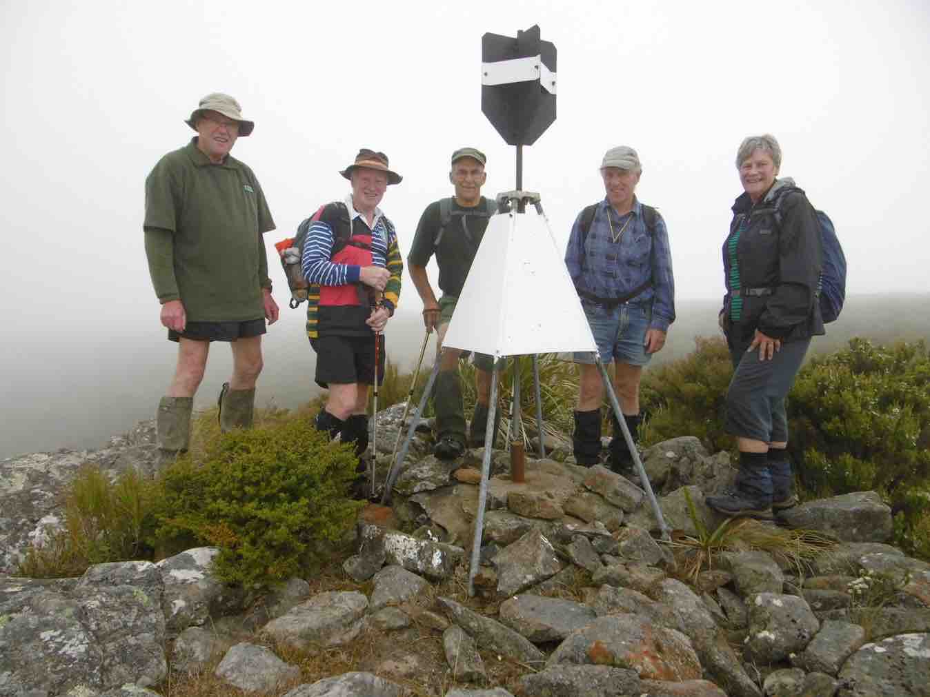
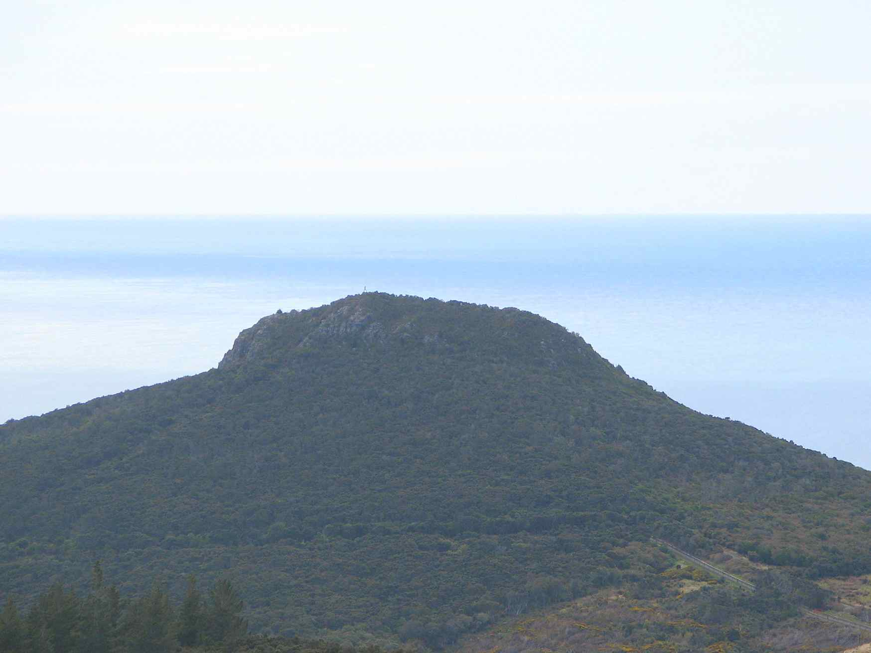
Continuing through the bush for another 20 mins or so we suddenly arrived out into short scrubby vegetation with more large rocks to scramble up and over until reaching the top. A short walk through head high vegetation and we arrived at the Mihiwaka Trig to admire the expansive views of nothing -but fog.
From here the track carried on relatively flat ground through Manuka stands, flax bushes, swampy ground and down through a pine plantation to the skid road.
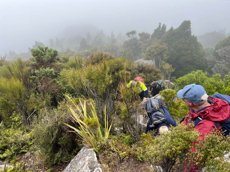
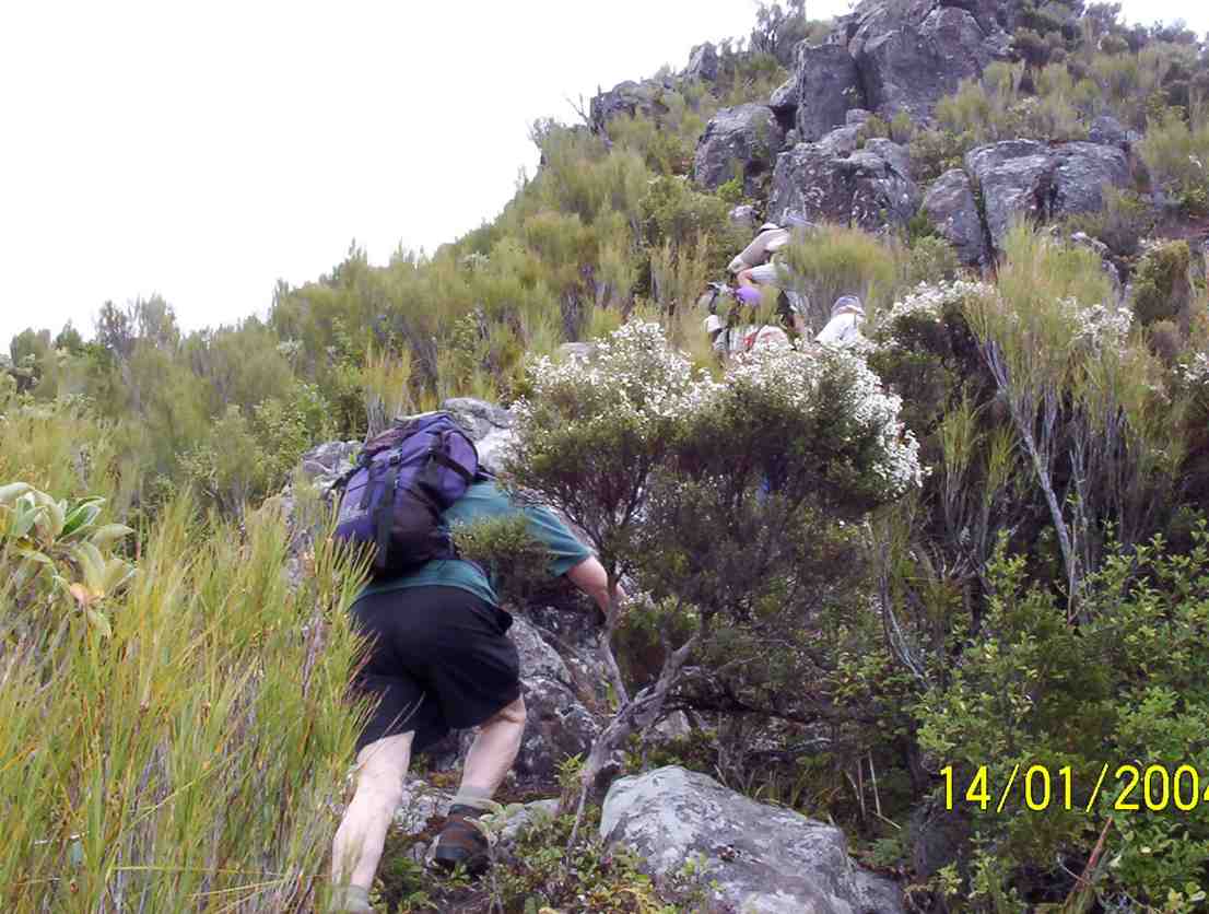
After walking on this road for a short distance we turned off right onto Mt Kettle track (545m above sea level) which continued through the pine planation before ascending through native bush and with more scrambling up the rocky ridge to reach the top of Mt Kettle (30 min).
Clambering up the rocky ridge. Caption and photo Pam
One had to visualize landmarks here through the now thick sea fog- Blueskin Bay, Mopanui, Mihiwaka and Mt Cutten.
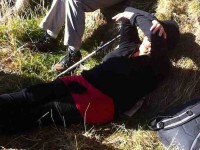
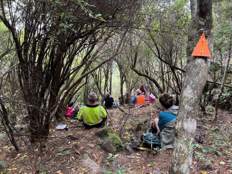
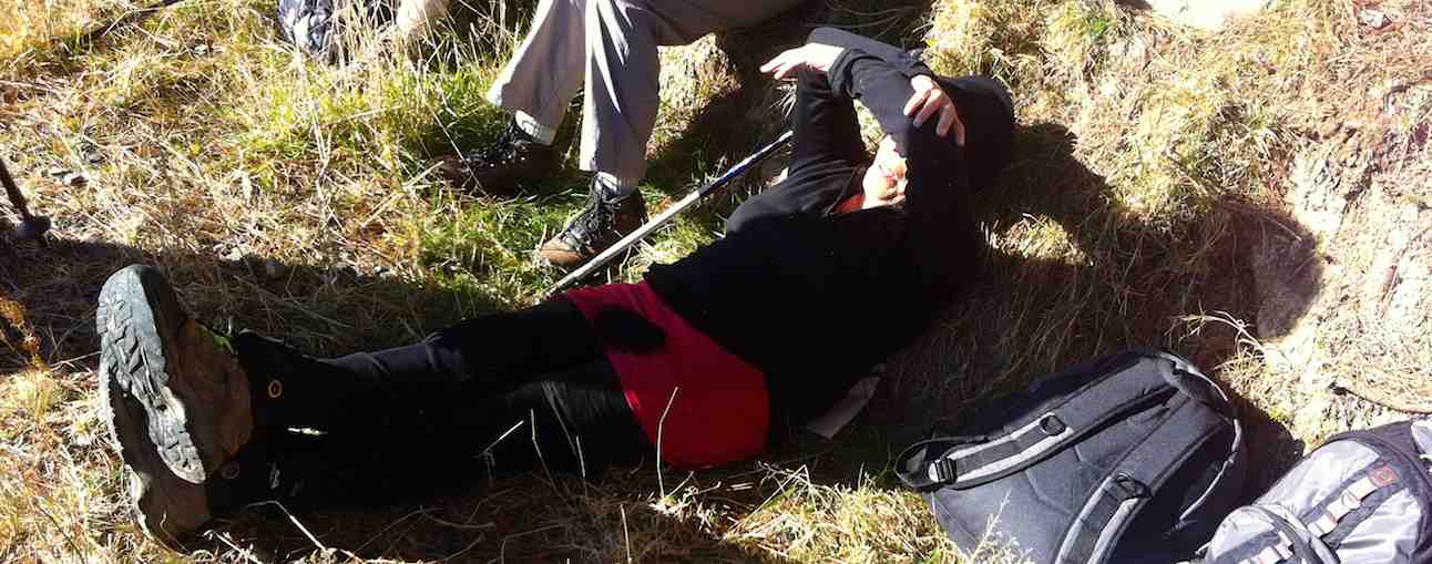
Descending into the bush we could hear a kid goat bleating, but no show. Halfway down we stopped for lunch anchoring ourselves on the steep track.
Anchored on the steep track for lunch. Caption and photo Pam

Just sit anywhere you can. Caption and photo John
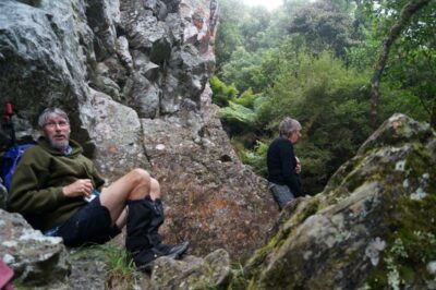
Nice spot out of the wind Graham Caption and photo John
Again, with the help of the rope we descended backwards over a steep decline to carry on through more native bush and ferns until we reached Cedar stream and crossroads. Taking a left turn we continued through and over windblown trees, reaching the junction with Mt Cutten track. From here it was a 10-minute walk to Cedar Reservoir which was obscured by mist and after a 30 minute walk on a four wheel track we arrived back at CFF car park. Cars retrieved and then it was coffee/cake for some at Santosha Cafe.
A good tramp but views spoilt by sea fog.
Approx 8kms, Elevation gained-460m, Elapsed time-3.48hr
Many thanks to Diane TEC and Graham T for the use of and securing the rope.
Pam
28. 14/1/2015. Trampers. Cedar Farm.
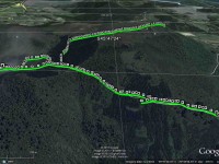
GPS of Cedar Farm tramp, courtesy Ken.
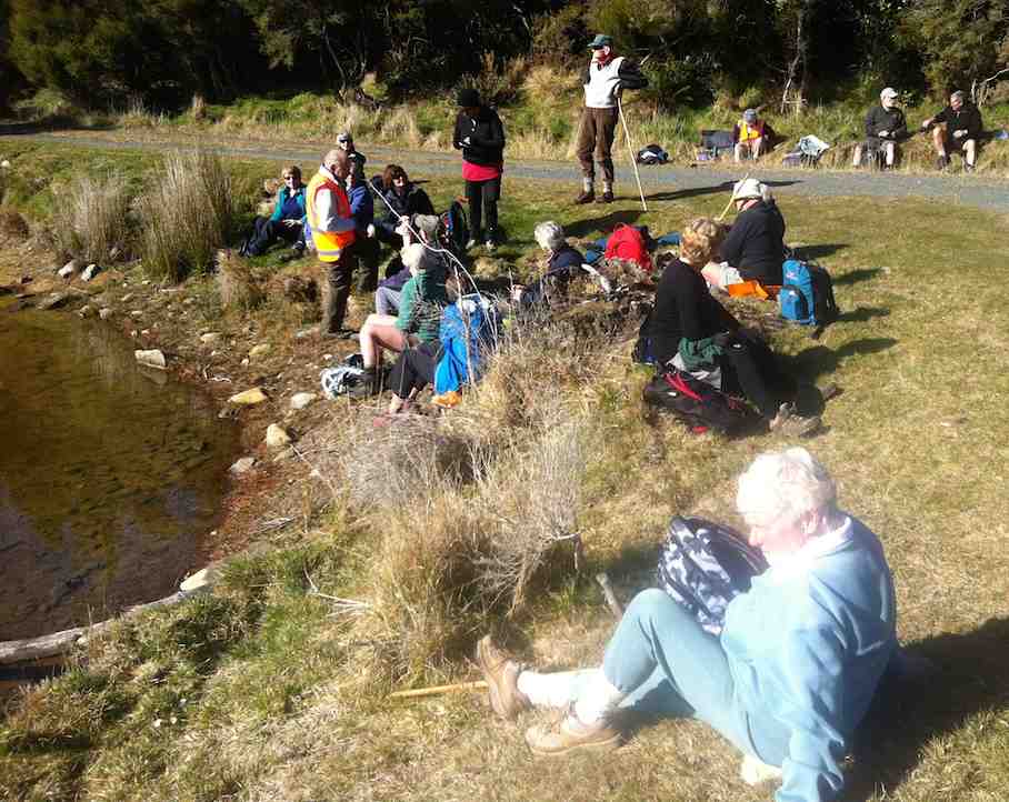
6 of us ventured out on a bit of a grey looking day, to explore the Cedar Farm area. (Page 6.02 in Hamel’s book). It looks a lot different to the last time I was there about 6-7 years ago, with the forestry trees growing quite high. We had morning tea beside the Cedar Creek Reservoir…
Morning tea by Cedar Creek Reservoir. (Ken pic and caption)
…then walked along the road to see if we could find the track to Mt. Cutten, but this was very overgrown with gorse, & not negotiable. So we retraced out steps, & went around the Cedar Creek Reservoir perimeter back to the main road into the area again. From here we took the road leading up to the track going to Mt. Chalmers, & Mihiwaka, where we ran into some light fog, which became quite thick as we approached the trig on the top. We paused here for a few minutes…
Trig on top of Mihiwaka with fog. (Ken pic and caption)
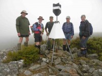
Another shot at the trig with different personnel (Ken caption)
…before carrying on along the track that leads to the rock climbing area, & back down to the main Rd again. We stopped at the top of the rock climbing area, to enjoy the view of nothing but FOG, & find the way down past the rock. We retraced our steps again, & had lunch under the shelter of some pines, as it was drizzling by this time. Then it was back down the road again wearing our rain coats, to see if we could get down to Rossville Reservoir, but this track soon petered out as well, with dense gorse growth. So it was back to the car for an early finish to the day. I suggested that we go & look for the bottom end of the track coming down from the rock climbing area, so we drove slowly along the road carefully looking until we found the correct place. Two of us went up this track for a short way to judge the condition of it, which seemed fine, except for the steep slope.
Apart from the weather spoiling the views, & the tracks blocked by gorse, it was a good day exploring an area that most of the group had not been to before. I should add that the track to Mihiwaka was in very good condition, & had a small cairn at it’s entrance, along with track marking tape. – Ken.
27 August 2014. Hikers. Cedar Farm. Easy. Leaders: Jim and Betty.
On a warm sunny day 29 members travelled from Mosgiel to Port Chalmers then on to Cedar Farm on the Purakaunui road.
We had hoped to take a track up Mt Cutten but the gorse and wind-fall trees made this impossible.
On the south side of Mt Cutten is the location of Andrew Drummond’s tribute to Len Lye, (a sculpture of stainless steel entangled telegraph pole).
Two of Len Lye’s works in New Zealand are the 45 metre tall wind wand at New Plymouth and a Water Whirler, the latter installation on the Wellington waterfront in 2006 after his death.
William Cutten was an early settler, and in 1861 was involved in the establishment of the ODT, and built the fine house Belmont.
In 1920 the area was subdivided into 10 to 50 acre blocks for farming, and now all taken over by City Forests.
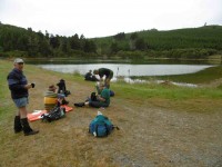
A major place of interest was the morning tea stop …
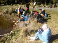
Morning Tea
Why not?
… at the Cedar Creek Reservoir,
Cedar Creek Reservoir
which was constructed in the 1950s as a backup water supply to Port Chalmers. It is no longer used for this purpose as Port Chalmers is connected to the DCC supply.
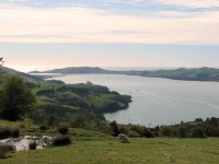
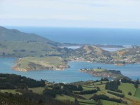
From our morning tea stop we back-tracked to a logging road that took us to a ridge for lunch and to enjoy panoramic views to the North and West.
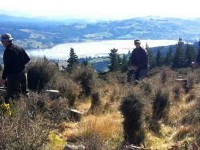
Blueskin Bay
We were now north-east of Mt Kettle, which was named after Otago’s first resident surveyor who arrived in 1846.
From this point it was all downhill back to the cars.
– Information sourced from Wikipedia and Dunedin Tracks and Trails.
– Betty and Jim Finnie.
15/2/2012. Hikers. Cedar Farm. Easy. Leaders: Lesley, Jim and Betty.
15/9/2010. Hikers. Cedar Farm and view of Mount Kettle. Easy. Leaders: Bev, Lesley G.
Hikers reached the reservoir, had morning tea, and walked round it a bit. came back. Carried on slowly to view Mount Kettle, but did not attempt to climb it. Had lunch. Returned. (Ian, from verbal report received)
31/10/2007 Mihiwaka, Mt Kettle, Cedar Farm Leaders: Bill & Pat

Large rock to clamber over. Arthur, Barbara, George
It was quite a day. The programmed tramp for Mihiwaka and Mt Kettle had been well-recceed, but what happened on the day didn’t go quite to plan. Getting past Mihiwaka’s big rock, where the twelve of us stopped for morning tea went not too badly,
Colour on big rock (Bill pic)
but the even more challenging rock outcrop further up had us more flummoxed. A variety of tracks, each seeking to avoid a really tricky spot made for confusion, so we managed to miss the critical track the recce party had picked out as the way to go. As a result we found ourselves climbing a ridge we would rather not have been on! However with great care and slow progress we made it and reached the trig for an early lunch, hunkering down in the short manuka out of a brisk wind. The further walk across a gully and up Mt Kettle was tame in comparison, but the views were great.
Taiaroa Heads from Mt Kettle (Bill pic)
Portobello from Mt Kettle (Bill pic)
Mopanui from Mt Kettle (Bill pic)
Down again and out on the road by the reservoir and we were back to the cars. The exhilaration of surviving an adrenaline rush compensated for earlier worries. A good day on reflection. – Ian
14/1/2004. Trampers. Mihiwaka and Mount Kettle. Medium. Leaders: Ian, George.
Climbing Mihiwaka. Hazel
Lunch. Doug, Barbara, George.
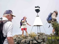
Mihiwaka Trig. Bob, Ria, George
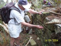
Bob examines wall of stone cottage ruins
14/1/2004. Hikers. Cedar Farm and Mount Kettle. Easy. Leaders: Margaret and Les, Nancy.
20/1/1999. Mihiwaka and Mount Kettle. Leaders: Bev McI, Denise, Mary Y.
26/10/1989 Mihiwaka Hill from Capt. Scott Memorial. Harbour views. Average climb. Leaders: George, Mollie.
25/5/1988 Mihiwaka Hill from Scott Memorial. Extensive harbour views. Leaders: Mary Y, Bob H


What is the Māori name for Mount Kettle?
Search me!